
The best running trails around Saint-Bomer
4.0
(3)
206
runners
42
runs
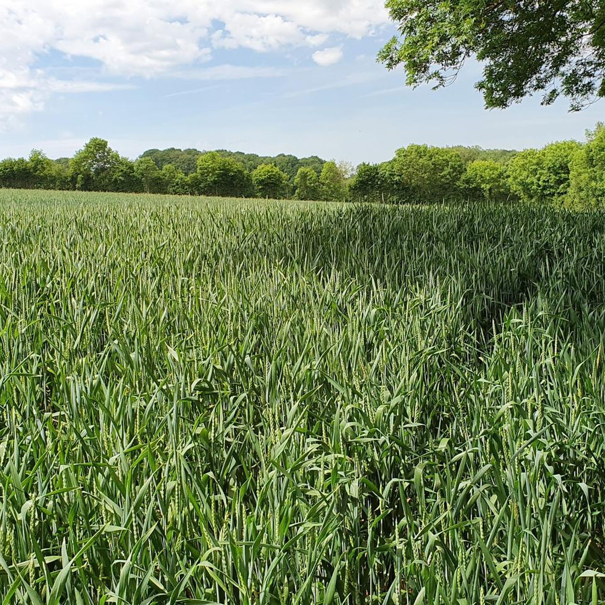
Jogging routes around Saint-Bomer traverse a landscape characterized by gentle hills and rural paths, often leading through agricultural areas and past small hamlets. The region offers a mix of open countryside and occasional wooded sections, providing varied terrain for runners. Elevation gains are generally moderate, making many routes accessible for regular running.
Best jogging routes around Saint-Bomer
- The most popular jogging route is Running loop from Les Étilleux, an 11.4 miles (18.3 km) trail that takes 2 hours 6 minutes to complete, featuring varied rural scenery.
- Another top favourite among local runners is Running loop from Les Terres Douces, a moderate 3.9 miles (6.3 km) path. This route offers a pleasant run through the local countryside with gentle ascents.
- Local runners also love the Étang du Boulay loop from Ceton, a 9.6 miles (15.4 km) trail leading through a mix of open fields and near the Étang du Boulay, often completed in about 1 hour 38 minutes.
- Jogging around Saint-Bomer is defined by rural paths, open fields, and occasional wooded sections, with a network offering options for moderate to difficult ability levels.
- The routes in Saint-Bomer are highly rated by the komoot community with an average score of 4.0 stars from 3 reviews. More than 160 runners have used komoot to explore Saint-Bomer's varied terrain.
Last updated: July 4, 2026
4.0
(1)
7
runners
18.3km
02:07
250m
250m
Hard run. Very good fitness required. Mostly paved surfaces. Suitable for all skill levels.
6
runners
6.30km
00:41
100m
100m
Moderate run. Good fitness required. Mostly paved surfaces. Suitable for all skill levels.

Sign up for free
4
runners
15.5km
01:38
180m
180m
Hard run. Very good fitness required. Mostly paved surfaces. Suitable for all skill levels.
4.0
(1)
7
runners
17.2km
02:00
260m
260m
Hard run. Very good fitness required. Mostly paved surfaces. Suitable for all skill levels.
3
runners
6.21km
00:39
80m
90m
Moderate run. Good fitness required. Mostly paved surfaces. Suitable for all skill levels.
Get access to more routes and recommendations from other explorers.
Sign up for free
Already have an account?
Our route recommendations are based on thousands of hikes, rides, and runs completed by other people on komoot.
Start today with a free account
Your next adventure awaits.
Login or Signup



Frequently Asked Questions
How many running routes are available around Saint-Bomer?
There are over 35 running routes in the Saint-Bomer area, offering a diverse range of options for runners. These routes are highly rated by the komoot community, with an average score of 4.0 stars.
What kind of terrain can I expect on jogging routes in Saint-Bomer?
Jogging routes around Saint-Bomer feature a landscape of gentle hills and rural paths. You'll often run through agricultural areas, past small hamlets, and experience a mix of open countryside and occasional wooded sections. Elevation gains are generally moderate, making many routes accessible for regular running.
Are there any easy running routes for beginners in Saint-Bomer?
While there are no routes specifically classified as 'easy' in the data, many of the 30 moderate routes are suitable for beginners or those looking for a less strenuous run. For example, the Running loop from Les Terres Douces is a moderate 3.9 miles (6.3 km) path with gentle ascents, perfect for a pleasant run.
Can I find long-distance running trails in the Saint-Bomer region?
Yes, Saint-Bomer offers several longer running trails. The Running loop from Les Étilleux is a challenging 11.4 miles (18.3 km) trail with varied rural scenery. Another option is the Running loop from Ceton, which spans 17.6 km.
Are there any circular running routes in Saint-Bomer?
Many of the running routes in Saint-Bomer are designed as loops, offering convenient circular paths. Popular options include the Running loop from Les Étilleux, the Running loop from Les Terres Douces, and the Étang du Boulay loop from Ceton.
What do other runners enjoy most about jogging in Saint-Bomer?
The area is highly rated by the komoot community, with an average score of 4.0 stars. Reviewers often praise the varied rural scenery, the mix of open fields and wooded sections, and the generally moderate elevation gains that make the routes enjoyable for different fitness levels.
Are there any scenic viewpoints or natural attractions along the running routes?
While specific viewpoints aren't listed, the routes are known for their varied rural scenery, open fields, and occasional wooded sections. The Étang du Boulay loop from Ceton, for example, leads near the Étang du Boulay, offering pleasant waterside views.
What historical landmarks or points of interest can I see near the jogging trails?
The Saint-Bomer area is rich in historical sites. You might encounter landmarks such as the Château de Montmirail or the Château de Charbonnières. Several historic churches, like the Notre-Dame Church of Chapelle-Guillaume and the Saint-André Church of Saintigny, are also found in the vicinity.
Are there any moderate running routes for a good workout?
Absolutely. Saint-Bomer has 30 routes classified as moderate, providing a good balance of distance and challenge. The Running loop from Béthonvilliers is a moderate 6.2 km route that offers a satisfying run through the local landscape.
What is the typical difficulty level of running routes in Saint-Bomer?
The running routes in Saint-Bomer primarily range from moderate to difficult. There are 30 moderate routes and 8 difficult routes, offering options for various fitness levels, from regular runners to those seeking a more challenging experience.
Is the Étang du Boulay loop a popular running option?
Yes, the Étang du Boulay loop from Ceton is a popular choice among local runners. This 9.6 miles (15.4 km) trail leads through a mix of open fields and near the Étang du Boulay, offering a scenic and engaging run.
What are the longest running routes available in the area?
For those seeking longer distances, the Running loop from Les Étilleux is one of the longest at 18.3 km. Another substantial option is the Running loop from Ceton, which covers 17.6 km.
Most popular attractions around Saint-Bomer

Get inspired with the komoot mobile app


Explore more
Browse the best Running Trails & Routes in other regions.
