The best running trails around Trun
4.4
(21)
871
runners
70
runs
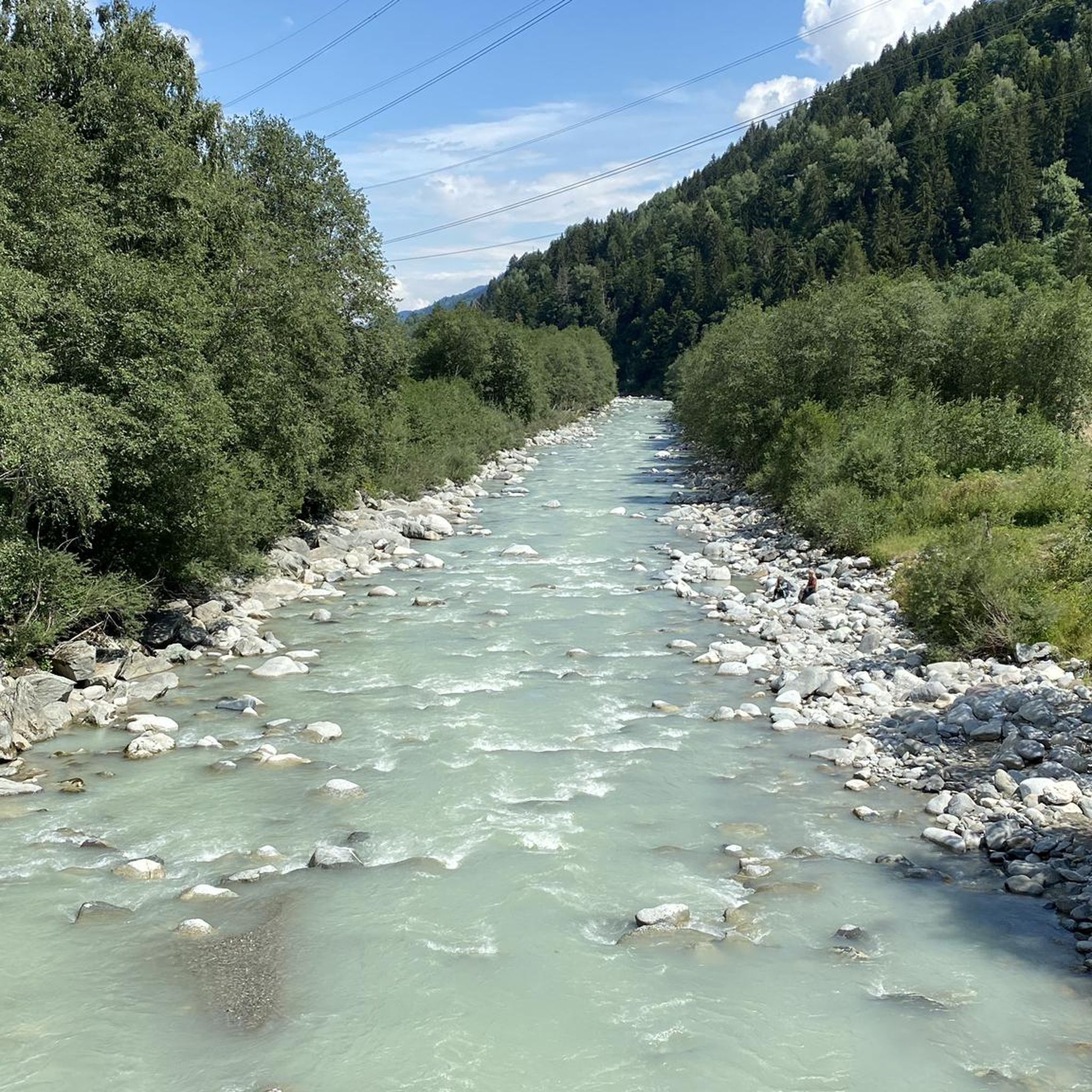
Jogging around Trun offers a variety of routes through the Surselva region of Graubünden, Switzerland. The landscape is characterized by river valleys, notably along the Anterior Rhine, and scenic alpine lakes. Routes often feature moderate elevation changes, providing both challenging ascents and gentler paths. The area provides a mix of natural trails and paths connecting local villages.
Best jogging routes around Trun
- The most popular jogging route is Picnic Area in Graubünden – Anterior Rhine loop from Trun, a…
Last updated: August 16, 2026
35
runners
29.0km
03:09
410m
410m
Hard run. Very good fitness required. Mostly paved surfaces. Suitable for all skill levels.
30
runners
9.95km
01:06
190m
190m
Moderate run. Good fitness required. Mostly paved surfaces. Suitable for all skill levels.

Sign up for free
5.0
(1)
13
runners
9.44km
01:01
160m
160m
Moderate run. Good fitness required. Mostly paved surfaces. Suitable for all skill levels.
5.0
(1)
11
runners
7.83km
00:51
130m
130m
Moderate run. Good fitness required. Mostly paved surfaces. Suitable for all skill levels.
10
runners
12.5km
01:26
340m
340m
Hard run. Very good fitness required. Sure-footedness, sturdy shoes and alpine experience required.
Get access to more routes and recommendations from other explorers.
Sign up for free
Already have an account?
Our route recommendations are based on thousands of hikes, rides, and runs completed by other people on komoot.
Start today with a free account
Your next adventure awaits.
Login or Signup
Popular around Trun
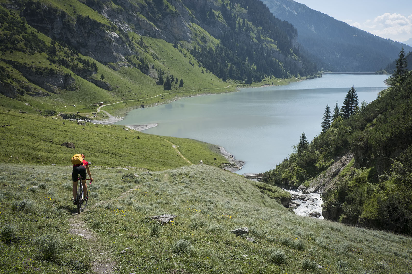
Through gravel and asphalt in Surselva — Loop through the Upper Grisons

Winter Magic in the Surselva – peace, space and pure nature
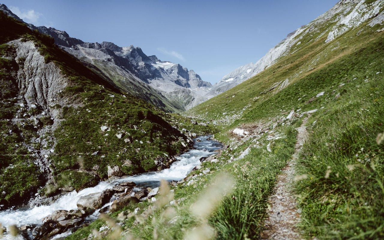
Relax and enjoy – hiking highlights of the Surselva
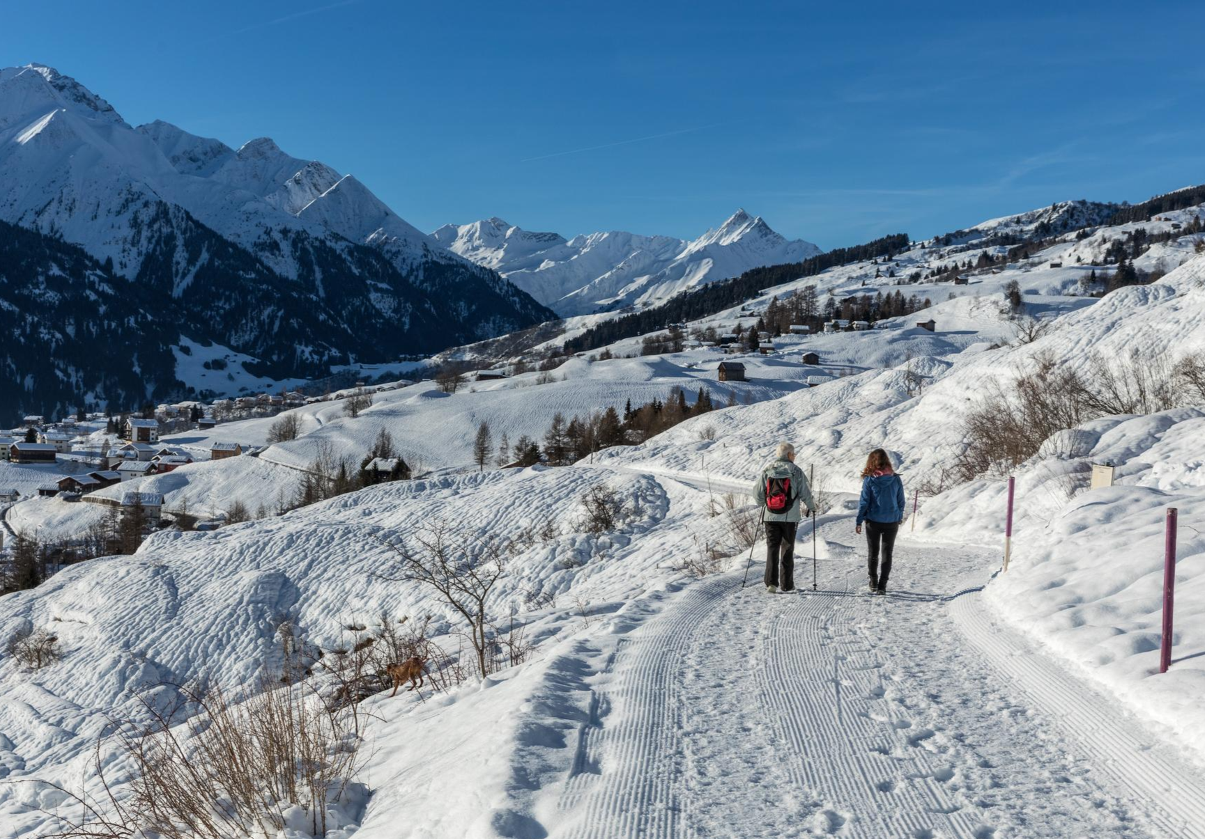
A winter mountain paradise – discover the Surselva

On ancient paths towards Santiago — the Way of St. James Graubünden
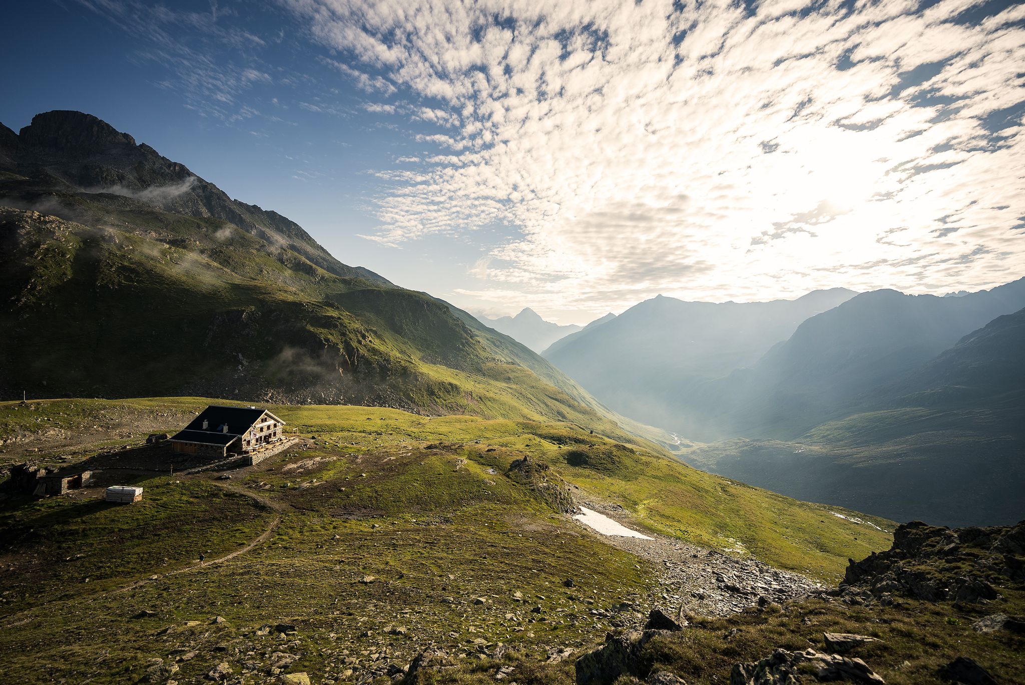
Hüttenzauber und Bergstille – Weitwandern in Graubünden
Hiking around Trun
MTB Trails around Trun
Road Cycling Routes around Trun

Gravel biking around Trun
Other adventures around Trun


Tips from the Community

The Lag da Breil, or Brigelsersee in German, lies at around 1,255 m above sea level, directly above Brigels. The lake, approximately 500 meters long and up to 140 meters wide, was created as a reservoir in 1946 and is used for energy production. The lake is fed and drained by the Flem river. Despite its function as a reservoir, the Lag da Breil appears very idyllic and blends beautifully into the landscape around Brigels. A pleasant walking path leads all the way around the lake. Important: Swimming is not allowed in the reservoir.
0
0
Brigels, in Romansh Breil, lies on a sunny terrace at around 1,300 m above sea level and, with its old houses around the parish church, has certainly retained its original village character. However, I also noticed today that Brigels is significantly more tourist-oriented than I had expected. Numerous holiday apartments, hotels, and tourist facilities are located around the village. As a result, the place sometimes seems less quiet and original than one might expect from a mountain village. Nevertheless, Brigels is beautifully situated in terms of landscape and offers a good starting point for hikes in the Surselva.
0
0
The Lag da Breil, in German Brigelsersee, lies at around 1,255 m above sea level, directly above Brigels. The lake, approximately 500 meters long and up to 140 meters wide, was created as a reservoir in 1946 and is used for energy production. The lake is fed and drained by the Flem. Despite its function as a reservoir, the Lag da Breil appears very idyllic and blends beautifully into the landscape around Brigels. A pleasant walking path leads all the way around the lake. Important: Swimming is not permitted in the reservoir.
0
0


Trun may at first glance look like just a charming Alpine village, but history was written here. Under a maple tree—the tree that Trun also bears in its coat of arms—one of the Three Leagues was sealed here in 1424, making Trun part of a free state in Graubünden that lasted until the 18th century. When visiting this Swiss gem, be sure to also note the sculpture trail and the walk-in sculpture by artist Matias Spescha.
1
0


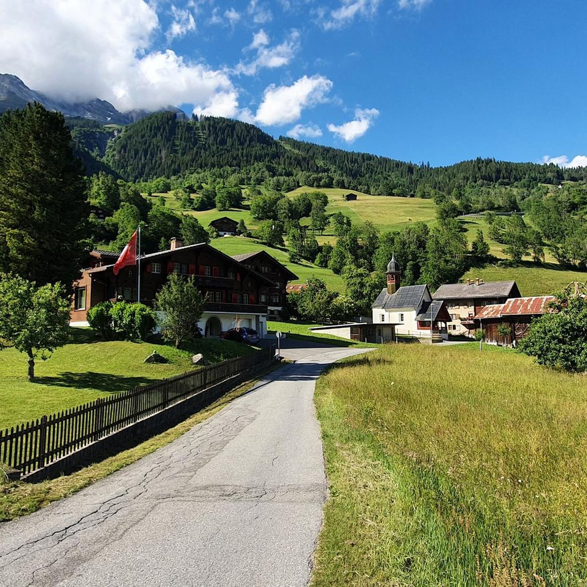
In the beautiful little village of Surrein it is worth taking a look at the church of St. Placidus. The baroque furnishings are impressive.
1
0

Frequently Asked Questions
How many running routes are available around Trun?
There are over 70 running routes around Trun, offering a wide range of options for different fitness levels and preferences.
Are there easy running routes suitable for beginners in Trun?
Yes, Trun offers a few easy running routes, with 3 specifically categorized as easy. These are great for those new to running or looking for a more relaxed pace through the scenic Surselva region.
What are the typical lengths of running trails in Trun?
Running trails in Trun vary significantly in length. You can find shorter loops like the Running loop from Rabius-Surrein at about 7.8 km, to longer, more challenging routes such as the Picnic Area in Graubünden – Anterior Rhine loop from Trun, which spans over 28 km.
Are there any circular running routes in Trun?
Yes, many of the running routes around Trun are circular, allowing you to start and finish at the same point. Examples include the Lake Brigels – Lag da Breil loop from Breil/Brigels and the Trun Railway Station loop from Trun.
What kind of scenery can I expect on the running trails near Trun?
The running trails near Trun offer diverse scenery, characterized by river valleys along the Anterior Rhine, picturesque alpine lakes like Griesslisee, and varied mountainous terrain. You'll encounter a mix of natural trails and paths connecting local villages.
Are there any running routes that pass by waterfalls or other natural attractions?
Absolutely! The region around Trun is home to several beautiful natural attractions. You might find routes that pass near waterfalls like Schreyenbachfall or Aua dil Mer Waterfall, and even impressive structures like the Suspension Bridge to Terrihütte.
What do other runners enjoy most about jogging in Trun?
The komoot community highly rates the running experience in Trun, with an average score of 4.7 stars. Runners often praise the varied terrain, from river valleys to alpine lakes, and the options available for different ability levels, making it a rewarding destination for all.
Are there any running routes suitable for families with children?
While specific 'family-friendly' routes are not explicitly categorized, the easier and moderate loops, especially those around lakes like the Lake Brigels – Lag da Breil loop from Breil/Brigels, could be suitable for families looking for a less strenuous run or walk together.
Can I find running routes with cafes or refreshment stops nearby?
Many routes in the Surselva region connect local villages. While specific cafes are not listed per route, choosing routes that pass through or near towns like Trun or Breil/Brigels, such as the Lake Brigels – Brigels loop from Breil/Brigels, will likely offer opportunities for refreshments.
What is the best time of year for running in Trun?
The best time for running in Trun generally depends on your preference. Spring and autumn offer pleasant temperatures and vibrant scenery. Summer is also popular, though some higher elevation trails might be warmer. Winter running is possible, but be prepared for snow and ice, especially on less maintained paths.
Are there any running routes that offer great viewpoints?
Given Trun's location in the Graubünden mountains, many routes offer excellent viewpoints. Trails along the Anterior Rhine, such as the Picnic Area in Graubünden – Anterior Rhine loop from Trun, provide extensive valley views, while routes around alpine lakes offer picturesque vistas.
Most popular attractions around Trun

Get inspired with the komoot mobile app


Explore more
Browse the best Running Trails & Routes in other regions.
