The best mountain hikes around Schluein
4.9
(50)
449
hikers
6
hikes
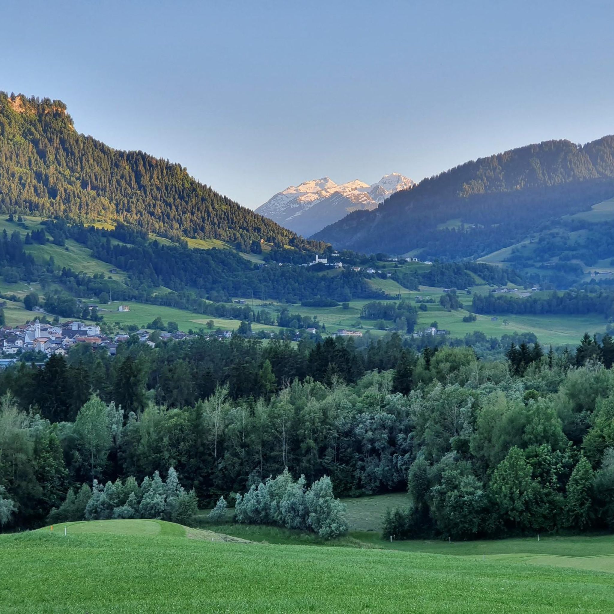
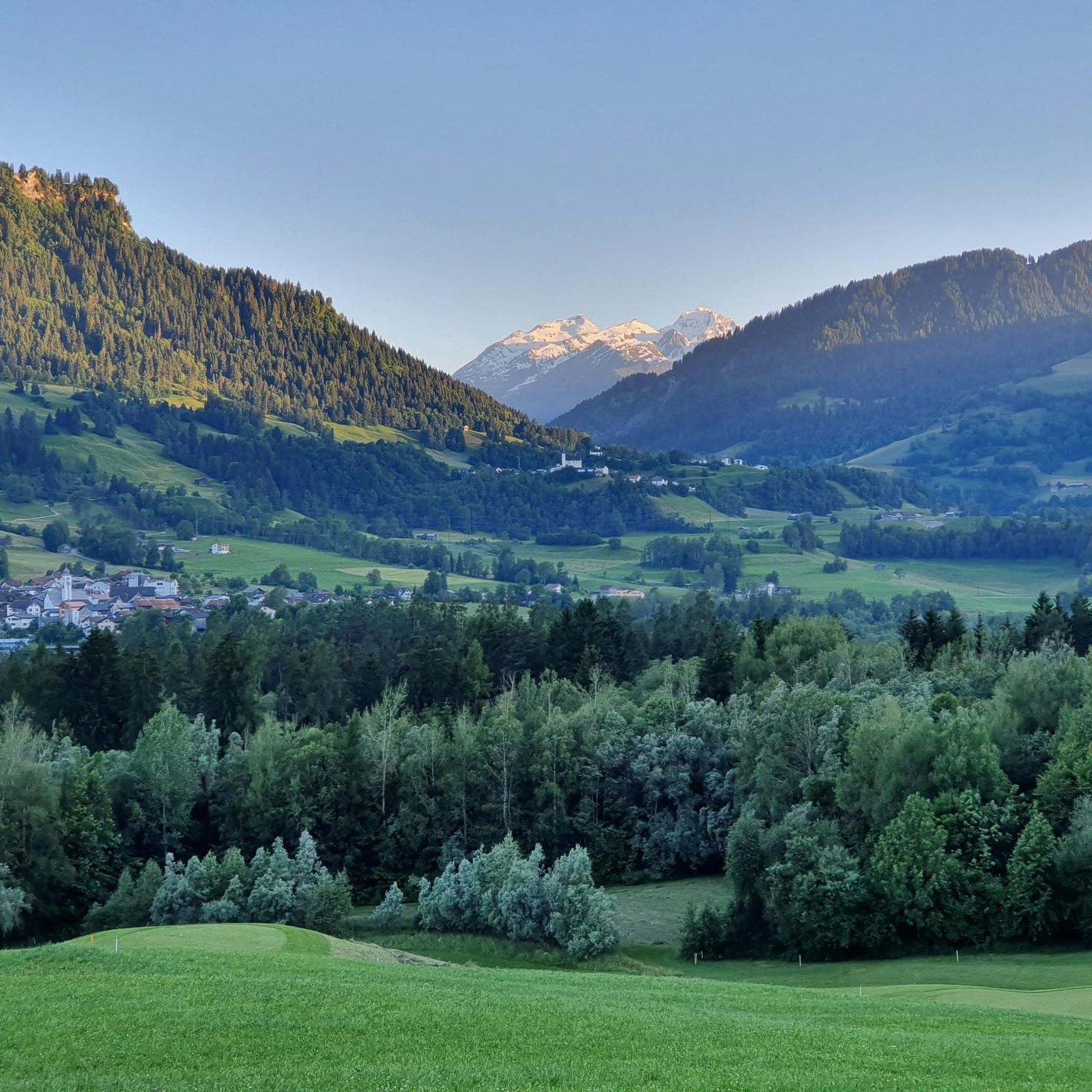
Mountaineering around Schluein offers access to the diverse terrain of the Graubünden region in Switzerland. The area is characterized by dramatic mountain peaks, deep valleys, and extensive alpine forests, providing a challenging environment for experienced mountaineers. The nearby Rhine Gorge, often referred to as the "Swiss Grand Canyon," presents impressive deep views and contributes to the region's rugged landscape. Schluein serves as a base for exploring these mountainous surroundings, which include various trails and ascents.
Best mountaineering routes around Schluein
…Last updated: October 10, 2026
5.0
(20)
168
hikers
12.3km
06:46
980m
980m
Hard mountaineering route. Very good fitness required. Sure-footedness, sturdy shoes and alpine experience required.
5.0
(2)
19
hikers
11.1km
04:53
1,020m
1,020m
Hard mountaineering route. Very good fitness required. Easily-accessible paths. Suitable for all skill levels.

4.5
(2)
16
hikers
11.3km
04:25
510m
510m
Moderate mountaineering route. Good fitness required. Mostly accessible paths. Sure-footedness required.
6
hikers
19.2km
08:06
1,060m
1,060m
Hard mountaineering route. Very good fitness required. Mostly accessible paths. Sure-footedness required.
5.0
(1)
4
hikers
13.6km
05:43
760m
760m
Hard mountaineering route. Very good fitness required. Sure-footedness, sturdy shoes and alpine experience required.
Our route recommendations are based on thousands of hikes, rides, and runs completed by other people on komoot.
Start today with a free account
Your next adventure awaits.

Tips from the Community

Very nice cabin! Unfortunately, there's currently a construction site around the cabin 😞
0
0
Super beautiful view of the Segnesboden and the waterfall!
0
0


Beautifully polished pool and crystal clear water.
0
0

This gorge is incredibly beautiful and diverse
1
0


From this very challenging "staircase" you have a wonderful view over the Bargis high valley.
0
0
Frequently Asked Questions
What kind of terrain can I expect on mountaineering routes around Schluein?
Mountaineering routes around Schluein traverse a diverse landscape, from dramatic mountain peaks and deep valleys to extensive alpine forests. You'll encounter rugged terrain, including sections within the spectacular Rhine Gorge, often called the 'Swiss Grand Canyon'. Many routes demand good fitness, sure-footedness, and alpine experience.
Are there any circular mountaineering routes in the Schluein area?
Yes, several routes offer a circular experience. For example, the Bös Fess Summit loop from Tenna is a challenging 11.1 km path that includes a summit ascent, providing panoramic views before returning to your starting point. Another option is the Restaurant Startgels – Segneshütte loop from Flims, which takes you through mountain terrain between two huts.
What are some notable natural features or viewpoints I might encounter on these routes?
The region is rich in natural beauty. You'll find breathtaking vistas of the Rhine Gorge (Ruinaulta), often referred to as the 'Swiss Grand Canyon'. Specific viewpoints like the Il Spir Viewing Platform – Rhine Gorge offer stunning panoramas. The area also features mystical lakes such as Cresta Lake and Lake Cauma, known for their clear, turquoise waters, which can be seen from various trails or accessed nearby.
How many mountaineering routes are available in the Schluein region?
There are several challenging mountaineering routes around Schluein. Our guide features 7 distinct routes, all categorized as difficult, catering to experienced mountaineers seeking demanding ascents and long-distance trails.
What do other mountaineers say about the routes in Schluein?
The mountaineering routes in Schluein are highly regarded by the komoot community, holding an average rating of 4.7 stars from over 40 reviews. Mountaineers often praise the challenging nature of the trails, the dramatic alpine scenery, and the rewarding summit views.
Are there any routes that involve a via ferrata near Schluein?
Yes, for those seeking a mix of hiking and climbing, the Pinut Via Ferrata Entry – Via ferrata Pinut loop from Flims is a popular option. This 12.3 km trail includes a via ferrata section, offering a unique and exhilarating mountainous experience.
Can I access mountaineering routes around Schluein using public transport?
Schluein is located in the Swiss canton of Graubünden, a region generally well-served by public transport. While specific starting points for mountaineering routes may vary in accessibility, it's advisable to check local bus and train schedules to plan your approach to trailheads. Some routes might require a short walk or taxi from the nearest public transport stop.
Are there any family-friendly mountaineering options in Schluein?
The mountaineering routes around Schluein are generally categorized as difficult, requiring good fitness, sure-footedness, and alpine experience. These trails are typically not suitable for young children or those without prior mountaineering experience. However, the broader region offers many easier hiking trails that are more appropriate for families, such as stroller-friendly paths to Cresta Lake.
What is the best time of year for mountaineering in Schluein?
The best time for mountaineering in Schluein is typically during the warmer months, from late spring to early autumn (June to September), when trails are generally free of snow and weather conditions are more stable. Always check current weather forecasts and trail conditions before heading out, as alpine weather can change rapidly.
Are there any routes that connect mountain huts?
Yes, some routes offer the experience of traversing between mountain huts. The Segneshütte – Restaurant Startgels loop from Flims is an example of a challenging route that takes you through mountain terrain, connecting these two points. Such routes can be ideal for longer excursions or multi-day trips, allowing for breaks and refreshments.
Are there any specific challenges or considerations for mountaineering in this region?
Mountaineering in the Schluein area presents challenges typical of the Graubünden Alps. Routes often involve significant elevation gain, rocky sections, and exposed passages. Good physical condition, appropriate gear, and experience with alpine environments are crucial. Always be prepared for sudden weather changes and carry sufficient water and supplies.
Can I find cafes or places to eat near the mountaineering trailheads?
While the mountaineering routes themselves lead into remote alpine environments, you can typically find cafes and restaurants in nearby settlements like Flims or Schluein itself, as well as at mountain huts such as Restaurant Startgels or Segneshütte, which are often points of interest or stops along certain routes. It's always a good idea to check opening hours in advance.
Most popular routes around Schluein
Most popular attractions around Schluein

Get inspired with the komoot mobile app


Explore more
Browse the best Mountain Hikes & Routes in other regions.
