The best walks and hikes around Montauriol
4.5
(48)
508
hikers
36
hikes
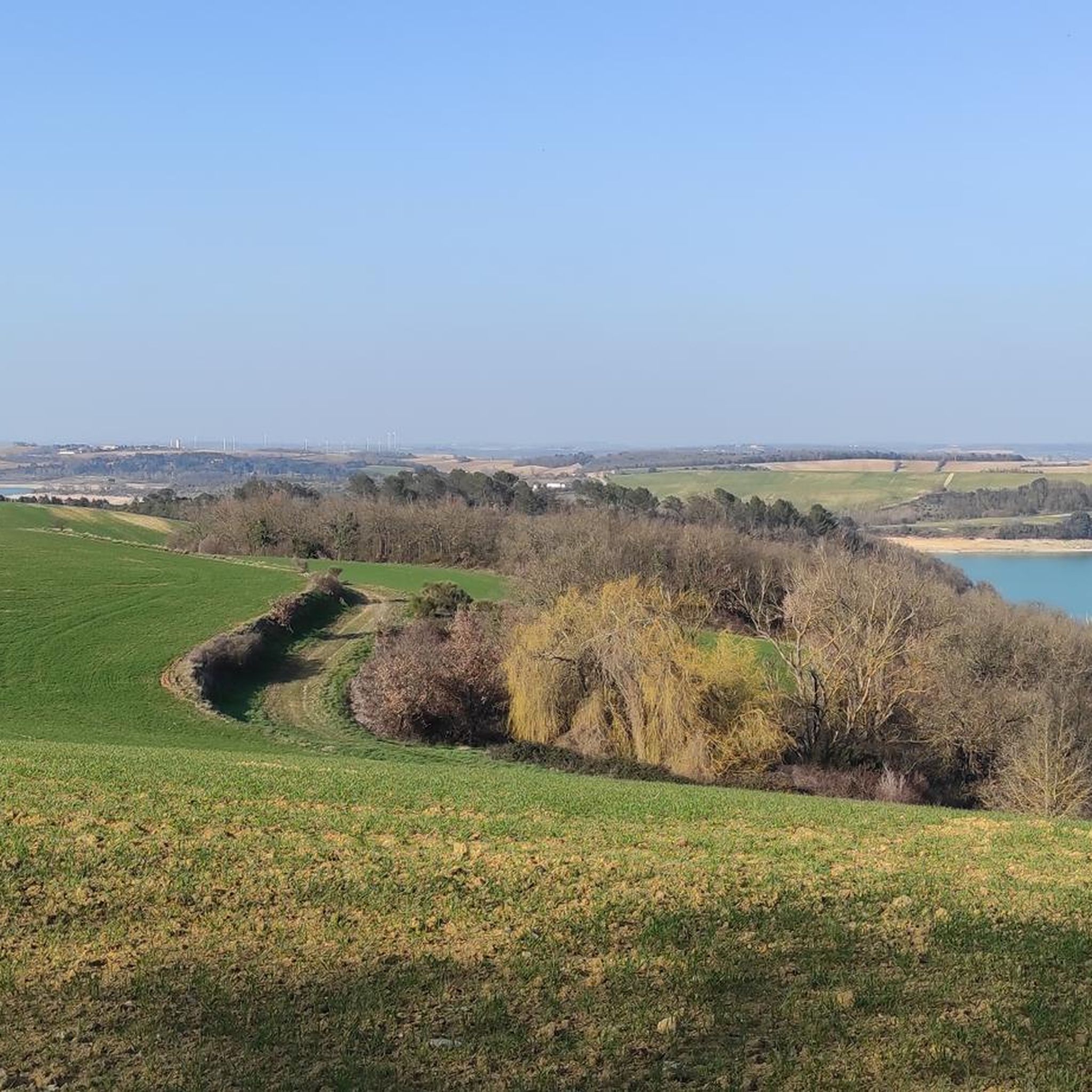
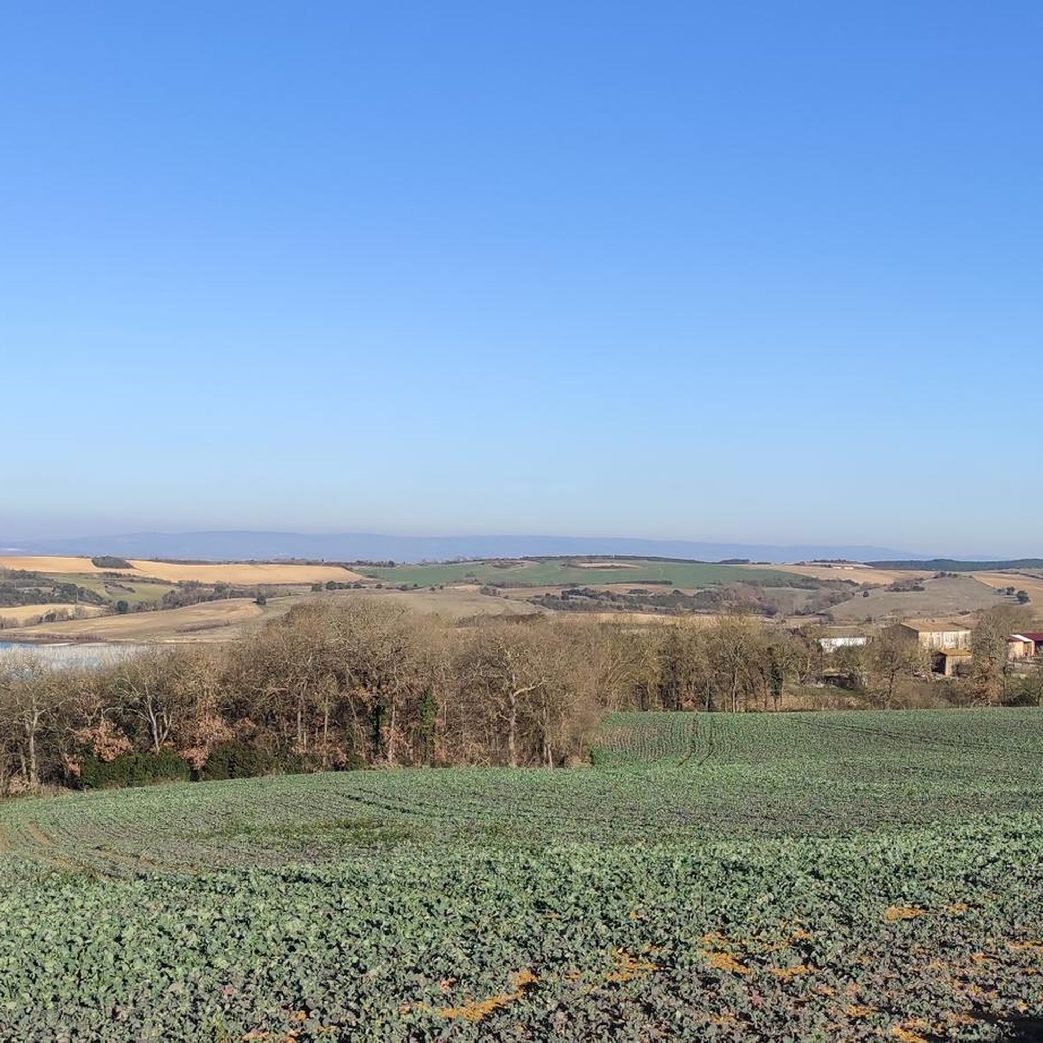
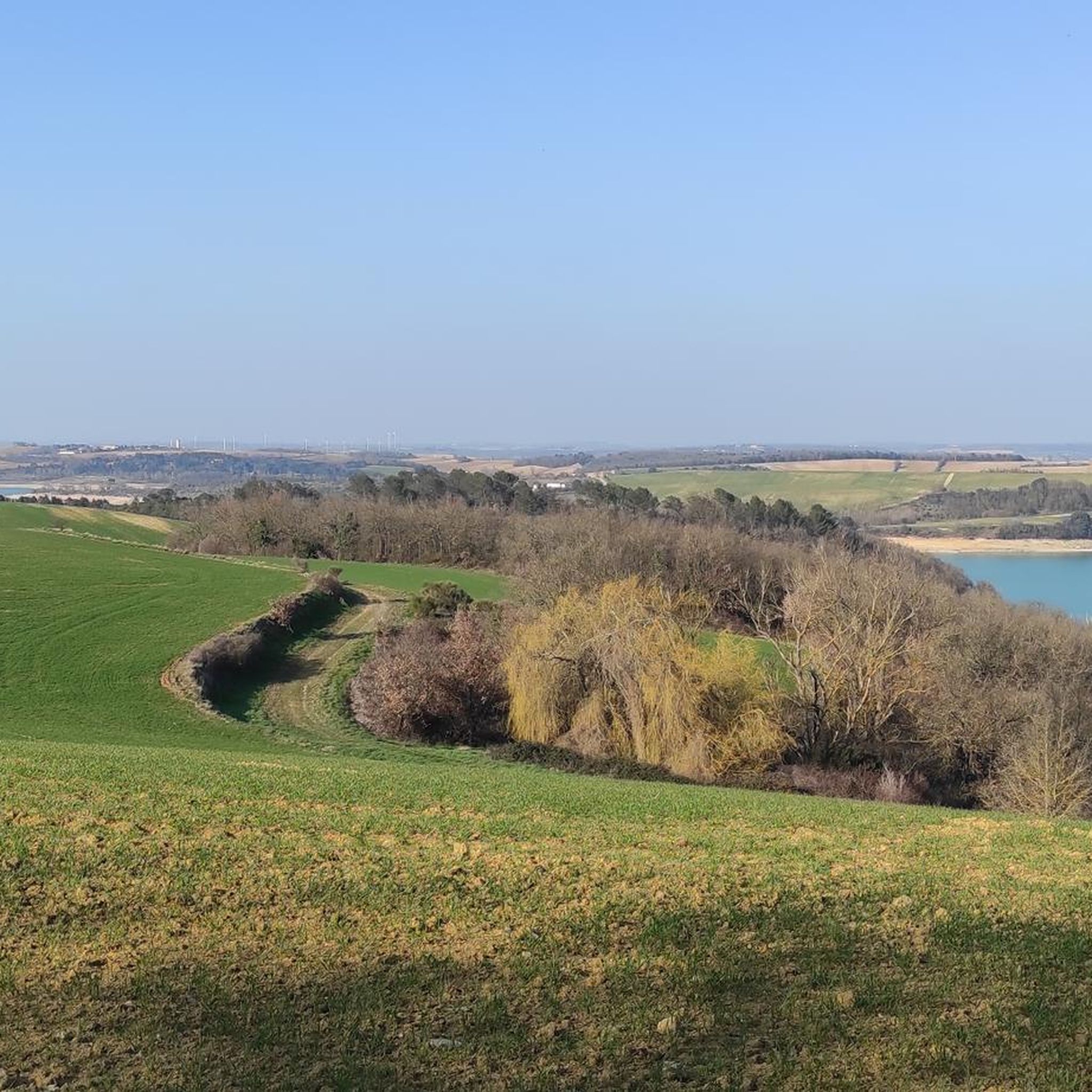
Hiking around Montauriol offers diverse terrain, ranging from routes through vineyards and wooded environments to trails in the nearby Pyrénées mountains. The region is characterized by the stony soils of the Aspres, providing a unique landscape for exploration. Hikers can find paths with views of the coastal plain extending to the sea, as well as panoramic vistas of the surrounding countryside and the iconic Pic du Canigou. The area features hills like Roc de Majorque, which at 444 meters offers…
Last updated: October 7, 2026
4.5
(6)
36
hikers
7.48km
02:03
110m
120m
Moderate hike. Good fitness required. Easily-accessible paths. Suitable for all skill levels.
4.7
(3)
23
hikers
10.5km
02:53
170m
180m
Moderate hike. Good fitness required. Easily-accessible paths. Suitable for all skill levels.

4.3
(3)
16
hikers
Moderate hike. Good fitness required. Easily-accessible paths. Suitable for all skill levels.
4.0
(1)
15
hikers
5.45km
01:32
110m
110m
Easy hike. Great for any fitness level. Easily-accessible paths. Suitable for all skill levels.
12
hikers
6.06km
01:39
90m
80m
Easy hike. Great for any fitness level. Easily-accessible paths. Suitable for all skill levels.
Get access to more routes and recommendations from other explorers.
Already have an account?
Our route recommendations are based on thousands of hikes, rides, and runs completed by other people on komoot.
Start today with a free account
Your next adventure awaits.


Tips from the Community

It is sometimes called the Naurouze lock because it is the closest lock to the Naurouze threshold. The Ocean lock marks the beginning of the ascending section of the canal when going from west to east.
0
0
In May 1787, Thomas Jefferson — then future President of the United States and ambassador to France — traveled along the Canal du Midi. Commemorative plaques mark his historic passage, notably on the lock house of the Ocean lock (Montferrand / Négra) and in the village of Le Somail.
0
0
Le Seuil de Naurouze is a strategic location in the operation and water supply of the Canal du Midi. The highest point on the canal's route, it is the birthplace as a watershed. Framed by the Ocean lock and the Mediterranean lock, it is from this site that the waters carried by the Rigole de la Plaine are distributed from one slope to the other.
0
0
The Naurouze Mill is a flour mill built in 1670 on the feeding channel of the Canal du Midi (a UNESCO World Heritage historic monument) and which evolved into an industrial mill between 1844 and 1985.
0
0
Castelnaudary designates the port of Ségala, a hamlet and a nautical stopover located in the commune of Labastide-d'Anjou. Founded by Pierre-Paul Riquet during the construction of the Canal du Midi, this historic site is located on the watershed.
0
0

Very cute little passageway
0
0

At this lock the flow direction of the canal changes! The watershed between the Mediterranean and the Atlantic!
0
0

The German-language television series "Treasures of the World - Heritage of Humanity" uses short film contributions to honor special sites from all eras and continents that have one thing in common: they have been declared World Heritage Sites by UNESCO. One of the episodes introduces the CANAL DU MIDI: "...the Romans already dreamed of a waterway between the Mediterranean and the Atlantic. Powerful people and doers from Charlemagne to Francis the First failed to realize this idea, even Leonardo da Vinci tinkered with it in vain. It was not built until the end of the 17th century. The Canal du Midi is a technical masterpiece by an individual, someone obsessed with the idea, by Pierre Paul Riquet. ..." => https://www.ardmediathek.de/video/schaetze-der-welt/gcanal-du-midi-frankreich-folge-224/swr/Y3JpZDovL3N3ci5kZS82OTg2NDg2
1
0
Frequently Asked Questions
How many hiking trails are available around Montauriol?
Montauriol offers a diverse network of over 35 hiking trails. These routes cater to various fitness levels, with 17 easy and 20 moderate options to explore the region's unique landscapes.
What kind of landscapes can I expect to see while hiking in Montauriol?
The Montauriol area, situated in the Pyrénées-Orientales, offers a rich variety of landscapes. You'll find trails winding through vineyards, dense wooded environments, and the distinctive stony soils of the Aspres region. Many routes provide stunning panoramic views, including vistas of the coastal plain extending to the sea, the surrounding countryside, and the majestic Pic du Canigou.
Are there any easy, family-friendly hikes in Montauriol?
Yes, Montauriol has several easy trails perfect for families. For a pleasant stroll, consider the Château de Molleville loop from Molleville, an easy 4.8 km route that takes about 1 hour 20 minutes through wooded areas and open fields. Another great option is the Hiking loop from Villeneuve-la-Comptal, an easy 6 km path.
What are some notable historical or cultural points of interest along the trails?
Beyond natural beauty, Montauriol's trails often feature cultural and historical elements. You can discover ancient chapels like Chapelle Vallpuig and those dedicated to Saint Amans. The region also has ancient wells and informational panels explaining traditional pastoral farming. For a glimpse into the area's industrial past, look for remnants of the 'Iron Trail,' historically used by Romans to transport iron from Batère mines.
Are there any circular hiking routes in the Montauriol area?
Yes, many of the trails around Montauriol are designed as circular routes, allowing you to start and end at the same point. A popular moderate option is the Belflou Castle loop from Belflou, a 7.4 km trail featuring a historic castle. For panoramic views, consider a loop to Mont Hélène, which offers extraordinary vistas of the Roussillon plain.
What do other hikers say about the trails in Montauriol?
The hiking routes in Montauriol are highly regarded by the komoot community, boasting an average rating of 4.5 stars from over 40 reviews. Hikers frequently praise the diverse terrain, from vineyards to wooded paths, and the stunning panoramic views of the Pyrénées and the coastal plain.
Are there any trails that offer particularly scenic views?
Absolutely. Many trails in Montauriol are renowned for their scenic viewpoints. Elevated points like Roc de Majorque (444 meters) offer 360° views, including the iconic Pic du Canigou. The View of the Countryside loop from Villeneuve-la-Comptal is specifically highlighted for its panoramic vistas across the Aspres region.
What are some attractions or landmarks near the hiking trails?
While hiking, you can explore several interesting attractions nearby. The area is close to the Canal du Midi, where you can visit highlights such as the Grand Bassin in Castelnaudary and the historic Écluse de l'Océan. The Canal du Midi itself offers picturesque sections for walking.
Are there any challenging hikes for experienced trekkers?
While the guide data primarily lists easy and moderate routes, the broader Montauriol area in Pyrénées-Orientales does offer more challenging treks. Some routes can extend up to five hours with 1,000 meters of positive elevation, requiring good physical condition. These often lead to higher elevations, providing significant climbs and rewarding views.
What is the general terrain like for hiking in Montauriol?
The terrain around Montauriol is quite varied. You'll encounter paths through agricultural areas, particularly vineyards, as well as shaded trails in wooded environments. The region is also characterized by the stony soils of the Aspres, which contribute to its unique landscape. Expect a mix of gentle slopes and more significant elevation changes, especially on routes leading to panoramic viewpoints.
Is public transport available to access hiking trails in Montauriol?
While specific public transport links directly to trailheads are not detailed, Montauriol is located in the Pyrénées-Orientales department, which has regional bus services connecting towns. It's advisable to check local transport schedules for connections to villages near your chosen trailhead, as many routes start from accessible village centers.
Most popular routes around Montauriol
Most popular attractions around Montauriol

Get inspired with the komoot mobile app


Explore more
Browse the best Hikes in other regions.
