The best walks and hikes around Saint-Rémy-De-Chaudes-Aigues
4.6
(363)
2,255
hikers
69
hikes
Hiking trails around Saint-Rémy-De-Chaudes-Aigues traverse varied topography, including the expansive Aubrac plateau and the Cantal Volcano region. The landscape features high-altitude pastures, dense forests, and river valleys with cascades. This area is characterized by its geological diversity, offering routes through gorges and past significant natural features.
Best hiking trails around Saint-Rémy-De-Chaudes-Aigues
- The most popular hiking route is Jioujiou Fountain loop from Saint-Urcize, a 10.0 miles (16.1 km) trail that takes 4 hours 34 minutes to complete. This moderate route…
Last updated: July 13, 2026
4.7
(9)
56
hikers
16.1km
04:34
360m
360m
Moderate hike. Good fitness required. Easily-accessible paths. Suitable for all skill levels.
4.6
(8)
50
hikers
30.0km
08:13
480m
480m
Hard hike. Very good fitness required. Easily-accessible paths. Suitable for all skill levels.

Sign up for free
4.6
(8)
27
hikers
20.3km
05:58
570m
580m
Hard hike. Very good fitness required. Easily-accessible paths. Suitable for all skill levels.
4.6
(8)
28
hikers
9.14km
02:40
250m
250m
Moderate hike. Good fitness required. Easily-accessible paths. Suitable for all skill levels.
3.7
(3)
16
hikers
8.19km
02:22
220m
220m
Moderate hike. Good fitness required. Easily-accessible paths. Suitable for all skill levels.
Get access to more routes and recommendations from other explorers.
Sign up for free
Already have an account?
Our route recommendations are based on thousands of hikes, rides, and runs completed by other people on komoot.
Start today with a free account
Your next adventure awaits.
Login or Signup


Tips from the Community

Impressive waterfall - not directly signposted
0
0

Very pretty hike. Be careful when it's hot! Very steep little path with a sheer drop. More significant elevation gain, on another app (+-314m). In my opinion, a walk to be classified as moderate
0
0

CIRCUIT FORBIDDEN TO DOGS even on a leash… an absolute disgrace… we went miles to get here!!! First of all it’s unacceptable on the part of the department and then Komoot, what are you waiting for to clarify that??!!
0
0
Allow 25min for the descent and to enjoy the waterfall (15min walk). Remember to take walking shoes (mud, crossing fields). Enjoy !!!
0
0

drinking water fountain and its view of the virgin rock
0
0

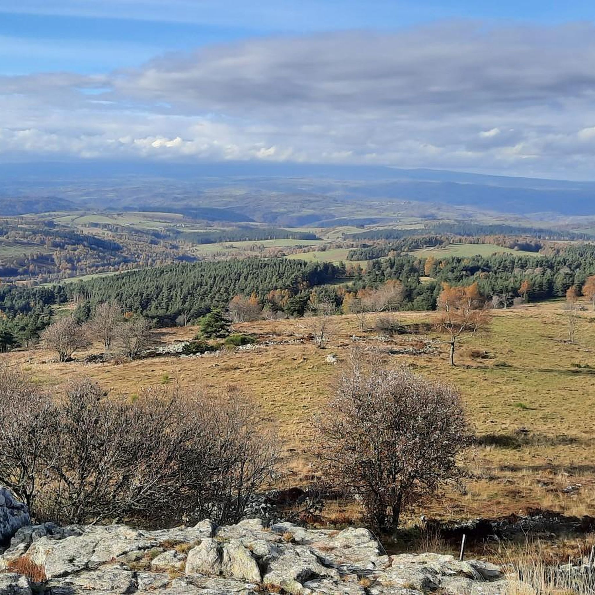
The Goutals, identified by its cross at the top of the slopes of the ski resort of St Urcize (Cantal), is an extraordinary 360° panoramic point in good weather, the view extends over the entire Aubrac of the 3 departments (Cantal -Aveyron-Lozère) to Plomb du Cantal and on the distant horizon Puy de Sancy (Puy de Dôme). The forest climb from the station is quite easy. 🏵🌿🌺🌸
0
0

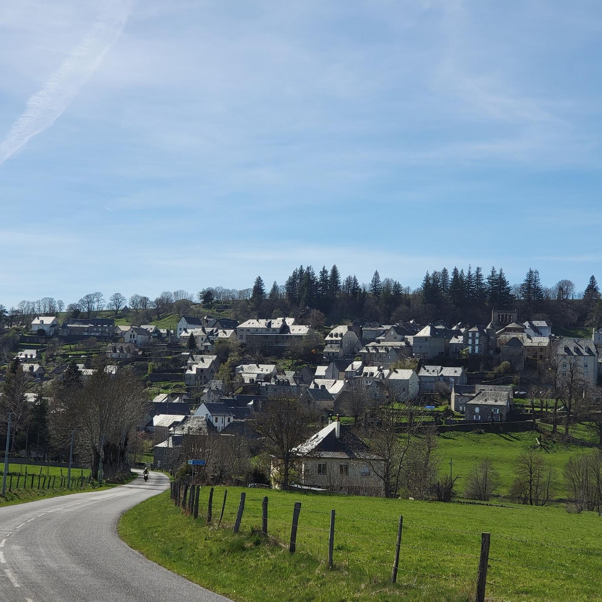
A small commune of 80 permanent residents typical of the Aubrac region. Its stone community hut is a central location for residents of surrounding communes to come together beside its open fireplace.
1
0

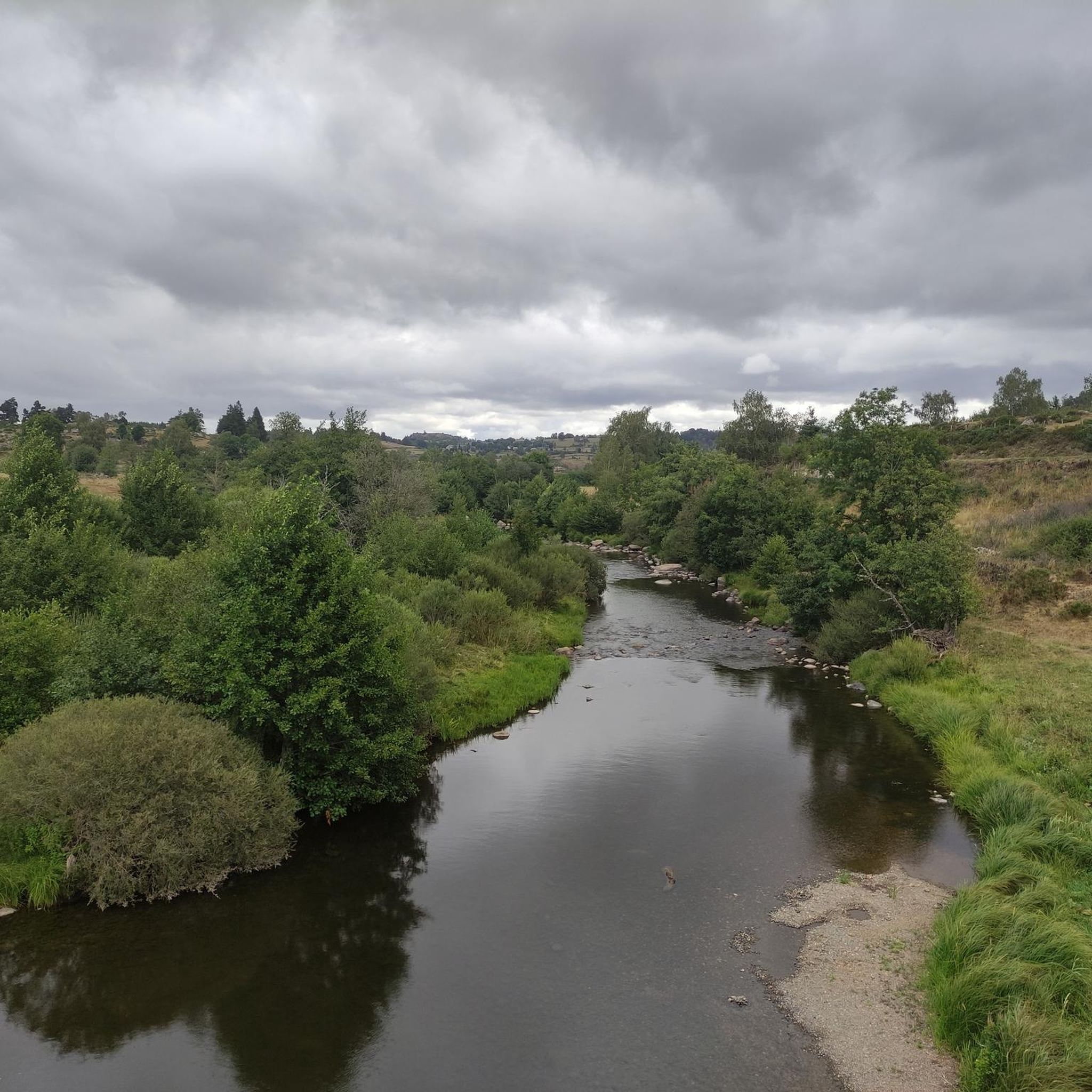
Small village on the border of Lozère and Cantal, located on a meander of the Bès. Imposing church and intriguing basalt cross in the heart of the village.
1
0
Frequently Asked Questions
How many hiking trails are available around Saint-Rémy-De-Chaudes-Aigues?
There are over 70 hiking routes around Saint-Rémy-De-Chaudes-Aigues, offering a wide range of options for different skill levels and preferences. You'll find trails traversing the Aubrac plateau, river gorges, and volcanic landscapes.
Are there easy hiking options suitable for beginners or families?
Yes, the area offers more than 20 easy routes, perfect for beginners or families looking for a relaxed outdoor experience. These trails allow you to discover the region's natural beauty without strenuous climbs.
What kind of landscapes can I expect to see while hiking in this region?
The region around Saint-Rémy-De-Chaudes-Aigues is characterized by diverse landscapes. You can expect to see the vast expanses of the Aubrac plateau, high-altitude pastures, dense forests, and river valleys with cascades. The area also features geological curiosities and volcanic terrain.
Are there any trails that feature waterfalls or significant natural landmarks?
Yes, the region is home to several notable natural features. The Gorges of the Bes loop from Saint-Juéry offers superb viewpoints over the valley. The nearby Cascade du Déroc is also a scenic natural attraction worth exploring.
What is the best time of year for hiking around Saint-Rémy-De-Chaudes-Aigues?
The spring, summer, and autumn months generally offer the most pleasant conditions for hiking. Spring brings blooming wildflowers, summer provides warm weather for high-altitude pastures, and autumn showcases vibrant foliage. Winter hiking is possible but may require appropriate gear for colder temperatures and potential snow on higher ground.
Are there any circular hiking routes available?
Yes, many routes in the area are circular, allowing you to start and end at the same point. For example, the Jioujiou Fountain loop from Saint-Urcize is a popular moderate circular trail, and the Viewpoint – Puy de la Tuile loop from Deux-Verges offers panoramic views.
What do other hikers enjoy most about the trails in Saint-Rémy-De-Chaudes-Aigues?
The trails in Saint-Rémy-De-Chaudes-Aigues are highly rated by the komoot community, with an average score of 4.6 stars from over 300 reviews. Hikers often praise the varied terrain, the extensive views across the Aubrac plateau, and the opportunity to discover charming villages like Saint Urcize.
Can I bring my dog on the hiking trails?
Generally, dogs are welcome on many hiking trails in the region. However, it's always advisable to keep them on a leash, especially in areas with livestock or protected wildlife. Please check specific trail regulations or local signage for any restrictions.
Are there any interesting villages or attractions to visit near the hiking routes?
Absolutely. The village of Saint Urcize, classified as a 'petite cité de caractère,' with its granite houses and Romanesque church, can be incorporated into hiking itineraries. The nearby town of Chaudes-Aigues is also famous for its thermal waters, offering relaxation after a day on the trails.
What are some of the more challenging hikes in the area?
For experienced hikers seeking a challenge, routes like the Saint-Urcize – Village of Brion loop from Grandvals, covering 27.4 km, or the Fournels Village loop from Chauchailles, at 29.0 km, offer extensive views and more demanding terrain.
Is public transport available to reach the trailheads?
While specific public transport options directly to all trailheads might be limited in this rural region, Saint-Rémy-De-Chaudes-Aigues itself is accessible. For detailed information on bus routes or other transport links to the area, it's best to consult local tourist information or regional transport services.
Are there opportunities to explore the Aubrac plateau on foot?
Yes, the Aubrac plateau is a defining feature of the region, and many trails allow you to discover its vast expanses. You can experience its unique highland landscapes, traditional 'burons' (stone shepherd's huts), and panoramic views from its highest points.
Most popular routes around Saint-Rémy-De-Chaudes-Aigues
Most popular attractions around Saint-Rémy-De-Chaudes-Aigues

Get inspired with the komoot mobile app


Explore more
Browse the best Hikes in other regions.
