The best mountain hikes around Soglio
4.8
(11)
108
hikers
8
hikes
Mountaineering routes around Soglio are characterized by challenging alpine terrain and significant elevation gains, offering access to high mountain passes and peaks. The region features a mix of rugged landscapes, including rocky ascents and high-altitude lakes. These routes often involve sustained climbing through varied mountain environments. The area provides opportunities for advanced mountaineering, with most trails rated as difficult.
Best mountaineering routes around Soglio
- The most popular mountaineering route is Ascent to Piz Lunghin – Piz Lunghin Summit loop from…
Last updated: August 14, 2026
4.7
(3)
28
hikers
17.1km
07:43
1,030m
1,030m
Hard mountaineering route. Very good fitness required. Sure-footedness, sturdy shoes and alpine experience required.
5.0
(1)
9
hikers
10.1km
03:19
270m
270m
Moderate mountaineering route. Good fitness required. Mostly accessible paths. Sure-footedness required.

Sign up for free
3
hikers
14.8km
06:12
960m
960m
Hard mountaineering route. Very good fitness required. Sure-footedness, sturdy shoes and alpine experience required.
4
hikers
19.2km
07:48
1,280m
1,280m
Hard mountaineering route. Very good fitness required. Sure-footedness, sturdy shoes and alpine experience required.
4
hikers
8.15km
03:49
610m
620m
Hard mountaineering route. Good fitness required. Sure-footedness, sturdy shoes and alpine experience required.
Get access to more routes and recommendations from other explorers.
Sign up for free
Already have an account?
Our route recommendations are based on thousands of hikes, rides, and runs completed by other people on komoot.
Start today with a free account
Your next adventure awaits.
Login or Signup
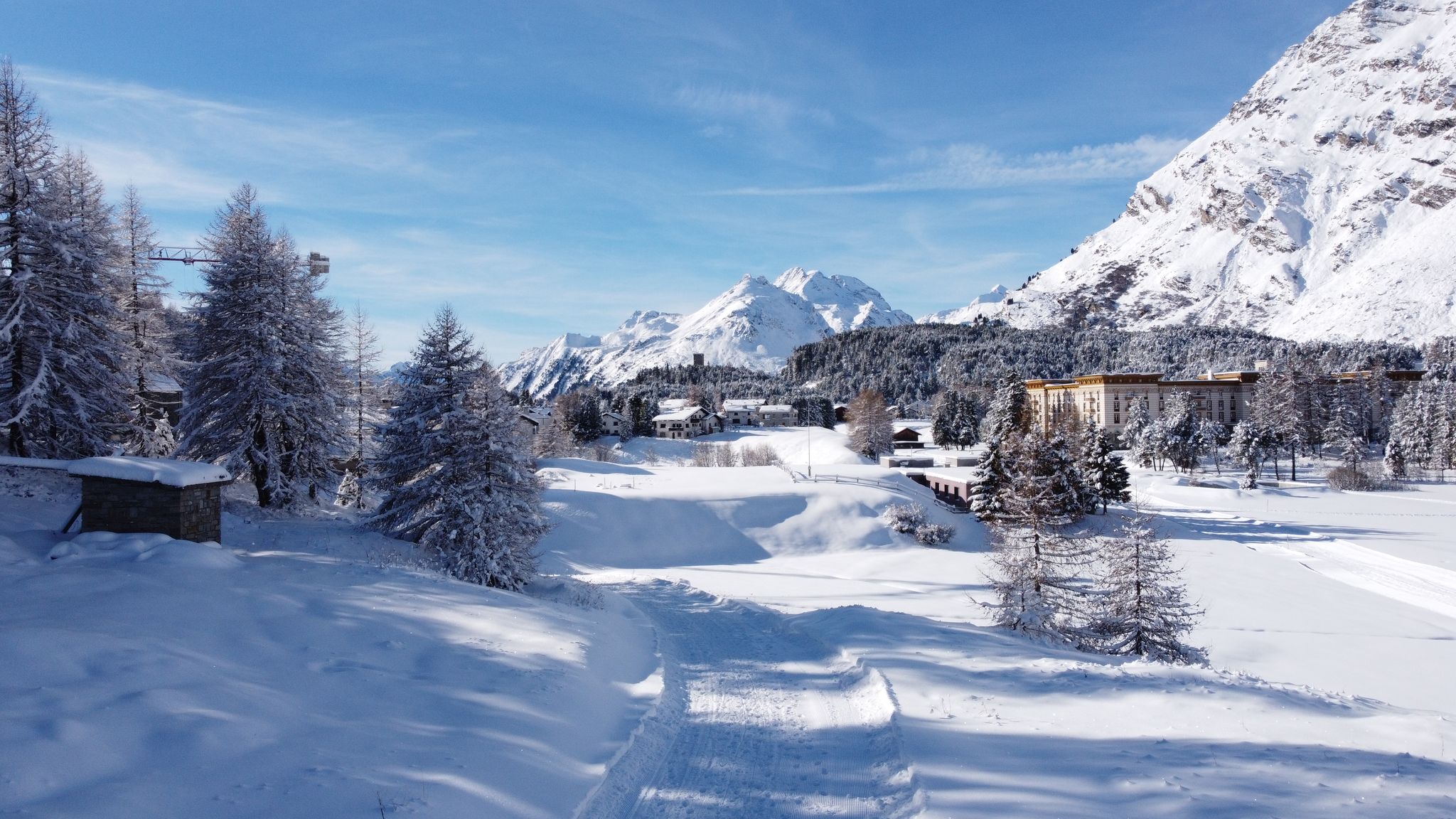
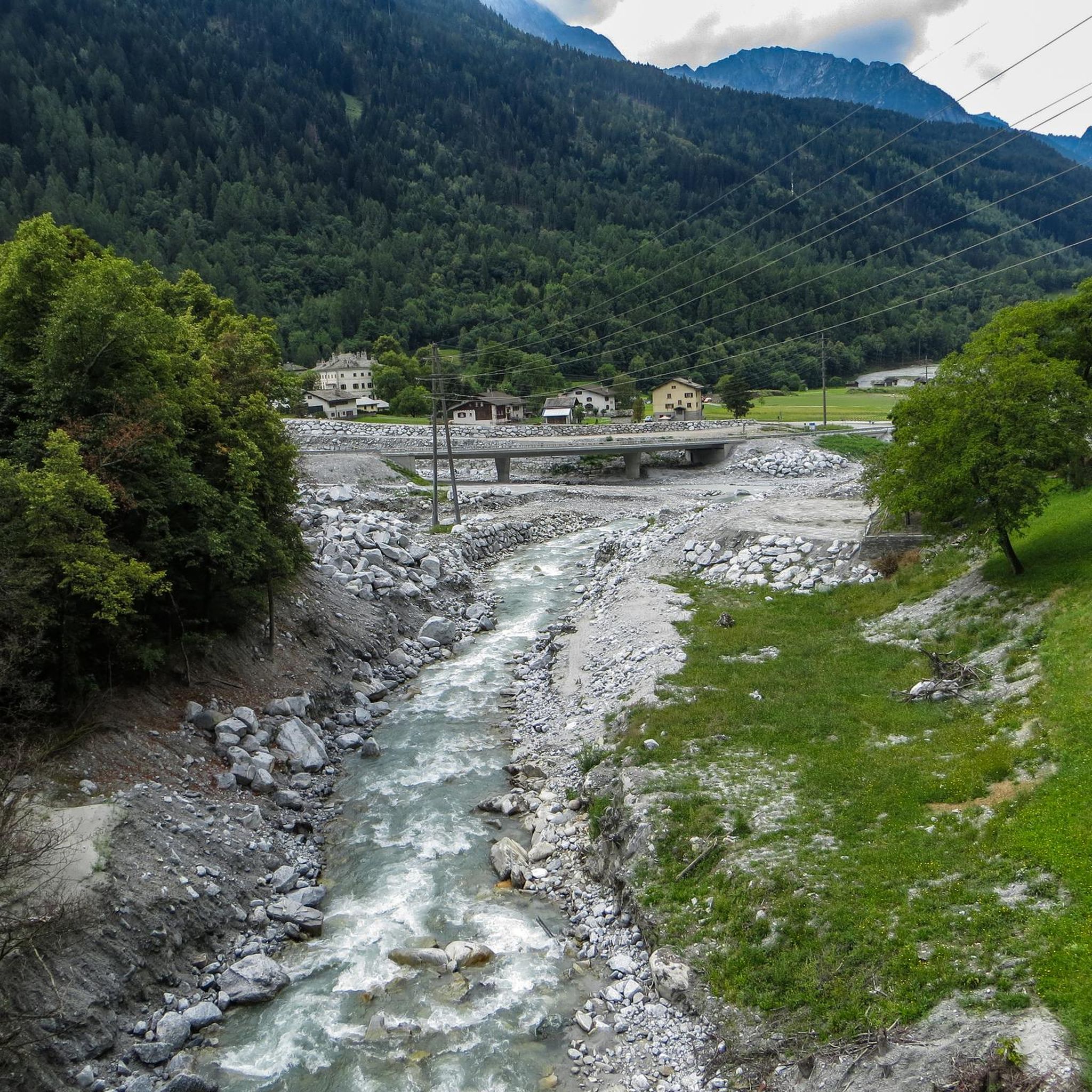
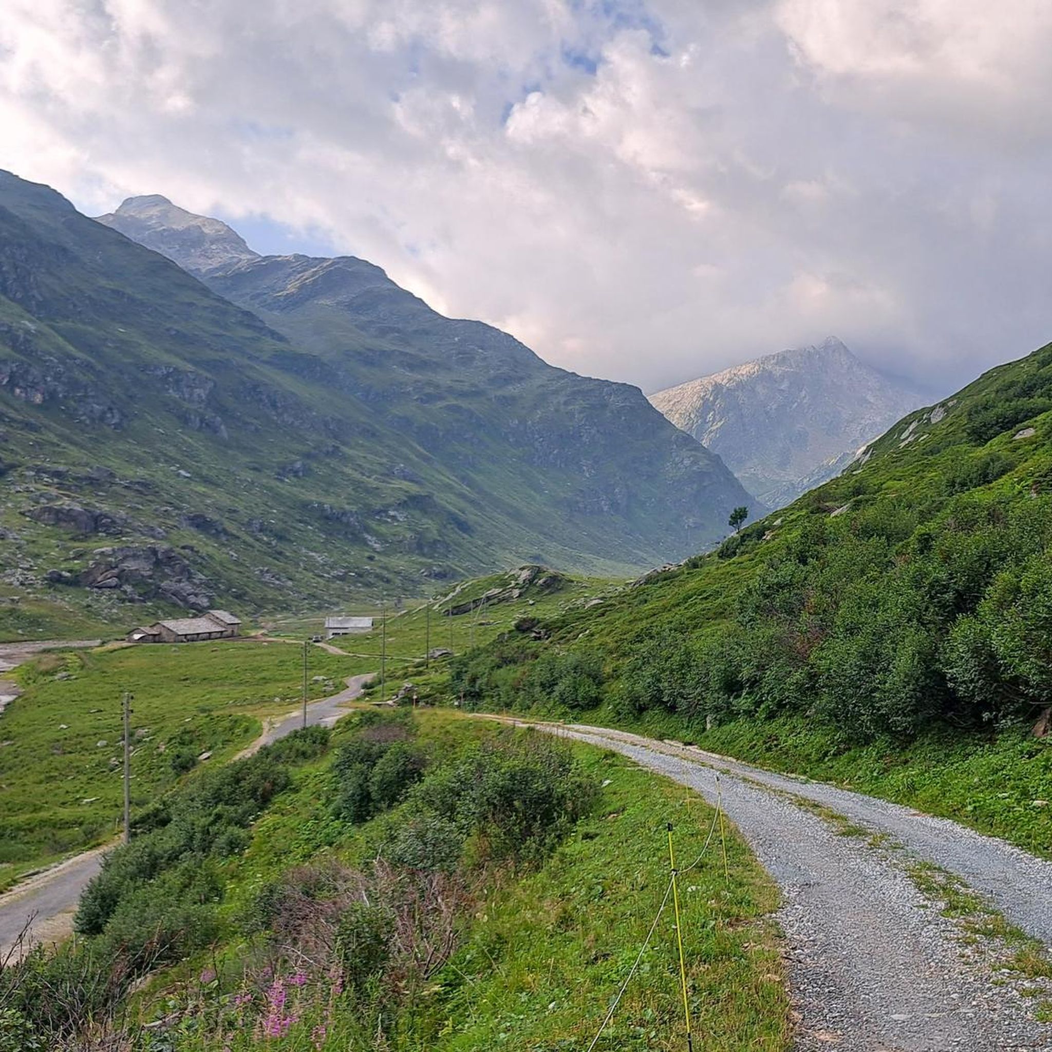
Other adventures around Soglio

Tips from the Community

The 27 inhabitants of Europe's highest village apparently all live directly or indirectly from tourism. Either in gastronomy or in the agriculture that supplies it.
0
0

Bivio - Access to the Septimer and Julier Alpine Passes Bivio (German, and officially Stalla until 1902, Romansh Beiva). It lies at the foot of the Julier and Septimer Alpine Passes. Bivio is, along with Tarvisio and Luwin, the only officially Italian-speaking village north of the Alpine watershed and is considered the one in Switzerland with the greatest linguistic diversity. Bivio is located in the middle of one of Switzerland's most beautiful holiday regions: at 1,769 metres, with direct access to the Septimer and Julier Alpine Passes. Historic paths lead through the highest village in Surses – here the Romans already transported their goods. Today, holidaymakers enjoy the Alpine landscape in summer with its magnificent views, healthy climate and the play of colours of rich green and colourful flora. In addition, there are diverse opportunities for families and other guests. After all, Bivio is located in the middle of Parc Ela, Switzerland's largest nature park. This is appreciated by children eager for experiences and bike holidaymakers just as much as by all those who find relaxation on extensive hikes in the Alps. Text / Source: Graubünden Ferien, Alexanderstrasse 24, Chur https://www.graubuenden.ch/de/ausflugsziele/bivio
13
0
Bivio at 1769 m above sea level. The name Bivio means “fork in the road” and is inextricably linked with the two Roman passes, Septimer and Julier. The village of 260 inhabitants probably has the strangest linguistic situation in all of Europe, so judges a prominent scholar about Bivio, the highest village in Surses. Text / Source: Switzerland Tourism https://www.myswitzerland.com/de-ch/reiseziele/bivio/
13
0

A triple watershed is indeed something quite rare. Besides, it's simply wonderfully lonely and beautifuuuul up here
0
0

Scenically very great tour. Top Top Top
0
0
Scenically very great tour. Top Top Top
0
0

Frequently Asked Questions
What is the general difficulty level of mountaineering routes around Soglio?
Mountaineering routes around Soglio are primarily characterized by challenging alpine terrain. Most trails are rated as difficult, involving significant elevation gains, rugged landscapes, and sustained climbing. There are a few moderate options available for those seeking a slightly less strenuous experience.
Are there any moderate mountaineering routes suitable for those with less experience?
Yes, while most routes are difficult, Soglio does offer a couple of moderate mountaineering options. For example, the Lago di Cavloc loop from Maloja Pass is a moderate 9.6 km trail, and the Lago di Cavloccio – Lake Cavloc loop from Maloja Pass is another moderate option covering about 10.1 km.
What kind of natural attractions can I expect to see along the mountaineering routes near Soglio?
The region around Soglio is rich in natural beauty. Along the routes, you can encounter stunning features such as the Maloja Pass, the impressive Acqua Fraggia Waterfalls, and serene high-altitude lakes like Lägh da Cavloc. There are also other waterfalls like the Catino Waterfall and viewpoints offering expansive vistas, such as the View of Acquafraggia Waterfalls.
What is the typical duration for mountaineering routes in this area?
The duration of mountaineering routes around Soglio varies depending on the specific trail and your pace. Difficult routes, such as the Ascent to Piz Lunghin loop from Maloja Pass, can take around 7 hours and 45 minutes to complete. Moderate routes, like the Lago di Cavloc loop, typically range from 3 to 3.5 hours.
Are there any circular mountaineering routes available?
Yes, many of the mountaineering routes around Soglio are designed as loops, allowing you to start and end at the same point. Examples include the challenging Ascent to Piz Lunghin – Piz Lunghin Summit loop from Passo della Maloja and the moderate Lago di Cavloccio – Lake Cavloc loop from Maloja Pass.
What do other mountaineers say about the routes in Soglio?
The mountaineering routes in Soglio are highly regarded by the komoot community, holding an impressive average rating of 4.9 stars from over 10 reviews. Mountaineers often praise the challenging high-alpine environment, the stunning mountain views, and the sense of accomplishment gained from tackling these demanding trails.
Are there any huts or shelters along the mountaineering trails for breaks or overnight stays?
Yes, the Soglio region offers several huts and bivouacs that can serve as resting points or for overnight stays. Notable options include the Gianetti Hut, the Luigi Brasca Hut, and the Giovanni Bertacchi Mountain Hut. Always check opening times and availability before planning your trip.
What is the best time of year for mountaineering in Soglio?
The prime season for mountaineering in Soglio is typically during the warmer months, from late spring to early autumn (June to September), when trails are generally free of snow and weather conditions are more stable. However, always check local weather forecasts and trail conditions before heading out, as high-alpine environments can be unpredictable.
How many mountaineering routes are available in the Soglio area?
There are over 10 distinct mountaineering routes documented around Soglio on komoot, offering a variety of challenging experiences for advanced mountaineers and a few moderate options.
What should I wear for mountaineering in Soglio in summer?
Even in summer, high-alpine conditions can change rapidly. It's crucial to wear layers, including moisture-wicking base layers, insulating mid-layers, and a waterproof and windproof outer shell. Sturdy mountaineering boots, a hat, gloves, and sun protection are also essential. Always pack extra warm clothing, as temperatures can drop significantly at higher elevations.
Are there any specific permits required for climbing in the Soglio mountains?
Generally, specific climbing permits are not required for standard mountaineering routes in the Soglio region. However, it's always advisable to check with local tourist information centers or mountain guide associations for any specific regulations, especially if you plan to tackle highly technical climbs or enter protected areas.
Can I find parking near the starting points of mountaineering trails in Soglio?
Many mountaineering routes in the Soglio area, particularly those starting from well-known access points like Maloja Pass, offer designated parking facilities. It's recommended to research specific trailheads in advance to confirm parking availability and any potential fees.
Most popular attractions around Soglio

Get inspired with the komoot mobile app


Explore more
Browse the best Mountain Hikes & Routes in other regions.
