The best walks and hikes around Saint-Yvoine
4.6
(410)
2,889
hikers
200
hikes
Hiking around Saint-Yvoine offers diverse terrain, characterized by its elevated position on a granitic outcrop overlooking the Allier River valley. The landscape transitions from the vast Limagne plains to the north to the Issoire plain in the south, with altitudes ranging from 354 to 607 meters. This region features a mix of river valleys, volcanic hills (puys), and varied plains, providing a rich environment for exploration.
Best hiking trails around Saint-Yvoine
- The most popular hiking route is Chaux de Pardines…
Last updated: June 29, 2026
4.0
(4)
41
hikers
10.6km
03:00
230m
230m
Moderate hike. Good fitness required. Easily-accessible paths. Suitable for all skill levels.
5.0
(2)
35
hikers
Moderate hike. Good fitness required. Easily-accessible paths. Suitable for all skill levels.

Sign up for free
4.6
(5)
38
hikers
Moderate hike. Good fitness required. Easily-accessible paths. Suitable for all skill levels.
5.0
(1)
38
hikers
7.14km
02:06
190m
190m
Moderate hike. Good fitness required. Easily-accessible paths. Suitable for all skill levels.
14
hikers
4.14km
01:17
150m
150m
Easy hike. Great for any fitness level. Easily-accessible paths. Suitable for all skill levels.
Get access to more routes and recommendations from other explorers.
Sign up for free
Already have an account?
Our route recommendations are based on thousands of hikes, rides, and runs completed by other people on komoot.
Start today with a free account
Your next adventure awaits.
Login or Signup
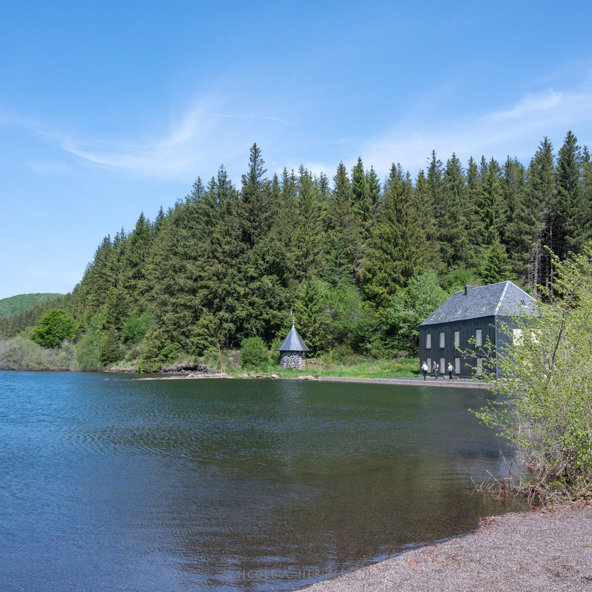
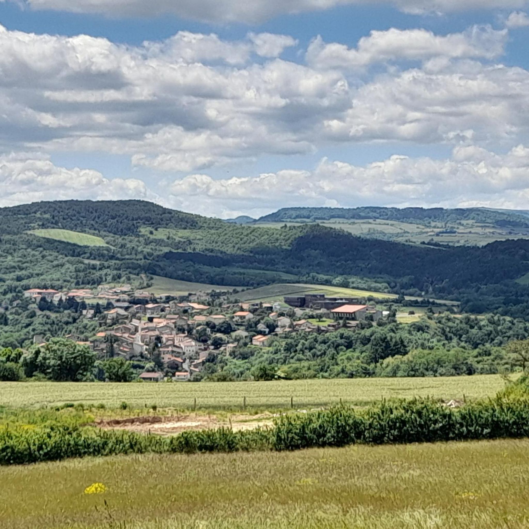

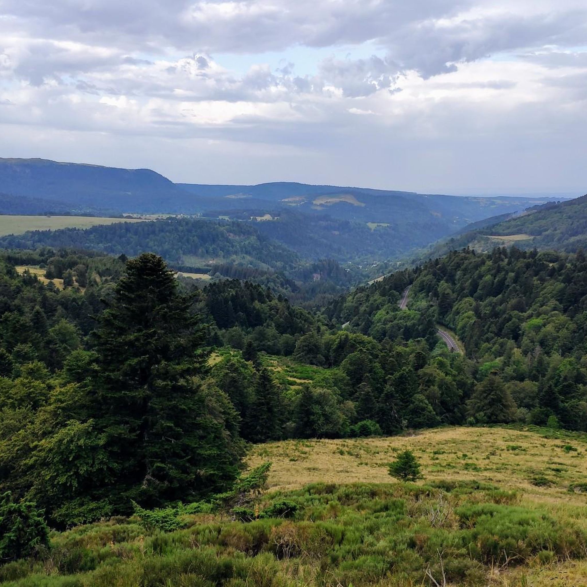

Tips from the Community

Former stonemason's house renovated by the municipality
0
0

Some paths are part of a signposted route
0
0
The grass could use a mowing
0
0
One path is less maintained than the other. The grass sometimes reaches shoulder height
0
0
Really between the fields
0
0
Here you will find many beautiful hiking trails, with beautiful views
0
0
Along beautiful and quiet paths
0
0

Remains of the old troglodyte village of Les Roches dug out of a mudslide of volcanic origin.
1
0
Frequently Asked Questions
How many hiking trails are there in Saint-Yvoine?
Saint-Yvoine offers a wide selection of hiking opportunities, with over 200 routes available. These trails cater to various skill levels, including 71 easy, 121 moderate, and 10 difficult options, ensuring there's a path for every hiker.
What kind of terrain can I expect on hikes around Saint-Yvoine?
The terrain around Saint-Yvoine is quite diverse, characterized by its elevated position on a granitic outcrop. You'll find paths winding through the Allier River valley, offering views of the vast Limagne plains to the north and the Issoire plain to the south. Many routes traverse woodlands, open plateaus, and even ancient paving from former quarries, with altitudes ranging from 354 to 607 meters. Expect a mix of river valleys, volcanic hills (puys), and varied plains.
Are there easy hiking options suitable for beginners or families in Saint-Yvoine?
Yes, Saint-Yvoine has 71 easy hiking routes perfect for beginners or families. An example is the Hiking loop from Perrier, which is 4.1 km long and features a manageable elevation gain, making it a pleasant short walk.
Can I find circular hiking routes in Saint-Yvoine?
Absolutely. Many trails in Saint-Yvoine are designed as circular routes, allowing you to start and end at the same point. For instance, the View of the Hills and Valleys – Stonemason's House loop from Yronde-et-Buron is a moderate 10.9 km loop offering panoramic views. Another popular option is the Knooppunt van PR wandelroutes – Puy Neyrand loop from Saint-Yvoine, which is 11.3 km long and explores varied landscapes.
What natural features or landmarks can I see while hiking in Saint-Yvoine?
Hiking in Saint-Yvoine offers views of the Allier River valley, the surrounding 'puys' (volcanic hills), and the Limagne and Sancy massifs. You might encounter features like the granitic outcrop of Saint-Yvoine itself, or explore paths along the Ribeyre stream. The area is also known for its historical charm, with ancient hamlets and traditional architecture along routes like 'Par le Puy Rousset, Yronde et Buron'.
Are there any interesting villages or historical sites near the hiking trails?
Yes, the region is rich in historical sites and picturesque villages. You can visit Montpeyroux: Medieval Village and Tower, classified as one of France's 'Most Beautiful Villages,' known for its golden arkose stone fortress. The Village of Corent, a wine-growing community with an archaeological site and troglodyte caves, is also nearby. Some trails, like 'Sur les Chemins de l'Arkose', specifically lead through Montpeyroux.
What do other hikers say about the trails in Saint-Yvoine?
The hiking trails in Saint-Yvoine are highly regarded by the komoot community, holding an average rating of 4.6 stars from over 370 reviews. Hikers often praise the diverse landscapes, from river valleys to volcanic hills, and the well-maintained paths that lead through charming ancient hamlets and offer stunning panoramic views.
Are the hiking trails in Saint-Yvoine dog-friendly?
While specific restrictions can vary by individual trail or protected area, generally, many hiking trails in the Saint-Yvoine region are dog-friendly. It's always recommended to keep your dog on a leash, especially in agricultural areas or near wildlife, and to carry waste bags. Always check local signage at trailheads for any specific rules.
What is the best time to visit Saint-Yvoine for hiking?
Saint-Yvoine experiences a temperate climate with cool summers and well-distributed rainfall, characteristic of a mountain-fringe climate. Spring and autumn are generally ideal for hiking, offering pleasant temperatures and beautiful scenery. Summer can also be enjoyable, especially for walks through shaded woodlands along rivers like the Allier.
Where can I find parking for hiking trails in Saint-Yvoine?
Parking is typically available in or near the villages that serve as starting points for many trails, such as Saint-Yvoine itself, Yronde-et-Buron, or Perrier. Look for designated parking areas in these communes, especially near churches or town centers, which often provide convenient access to trailheads.
Is there public transport access to the trailheads in Saint-Yvoine?
Public transport options directly to specific trailheads in Saint-Yvoine may be limited, as is common in more rural areas of France. It's advisable to check local bus schedules for connections to the main villages in the region, such as Saint-Yvoine or nearby larger towns, and plan your hike accordingly. Access by car is generally the most flexible option for reaching various starting points.
Are there any trails that offer panoramic views of the region?
Yes, several trails provide breathtaking panoramic views. The 'Par le Puy Rousset, Yronde et Buron' loop, for example, unveils expansive vistas of the Chaîne des Puys, the Limagne, and the Sancy massif. Additionally, the 'Saint-Yvoine - Eperon de Pierre Ancizes' route offers stunning views of the Allier valley from the heights of Saint-Yvoine.
Most popular routes around Saint-Yvoine
Most popular attractions around Saint-Yvoine

Get inspired with the komoot mobile app


Explore more
Browse the best Hikes in other regions.
