The best walks and hikes around Lafarre
4.5
(258)
1,640
hikers
78
hikes
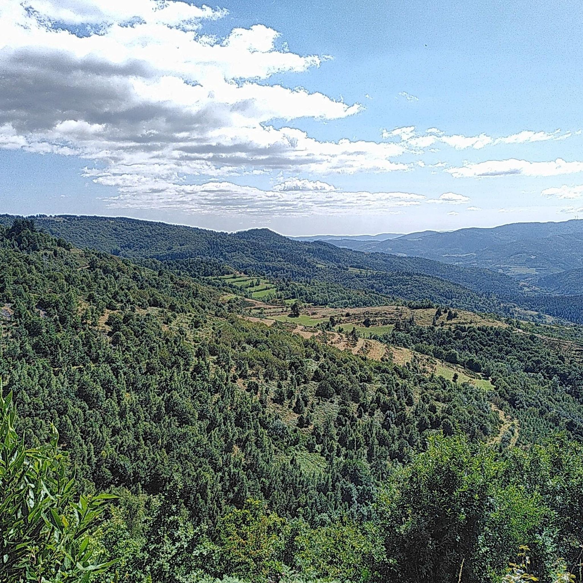
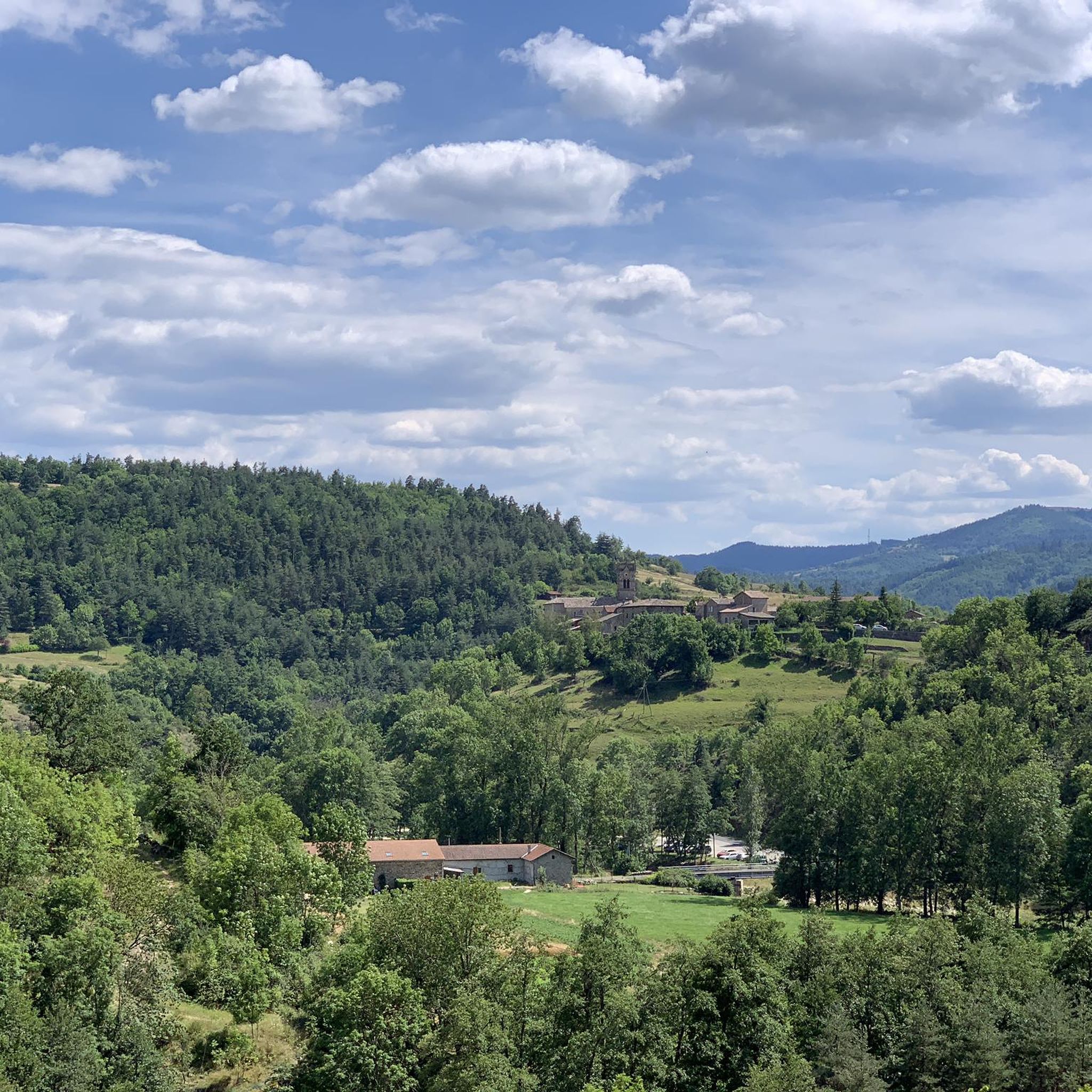
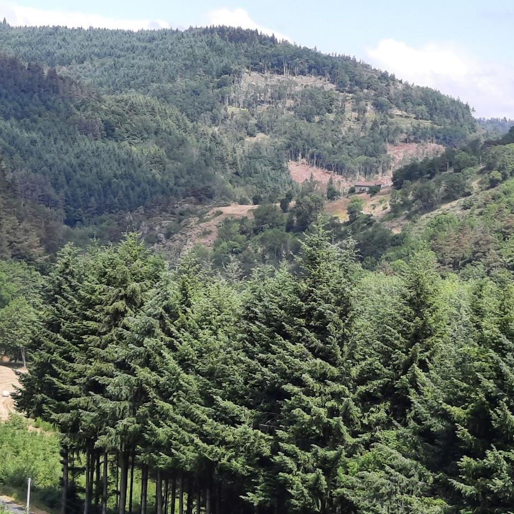
Hiking around Lafarre offers diverse and wild landscapes within the Ardèche region of France. The area features dramatic terrain, including altitudes ranging from 580 to 1189 meters, with extensive forests of fir, pine, and broad-leaved trees. Volcanic landscapes, part of the Monts d'Ardèche Regional Nature Park, contribute to spectacular scenery, alongside trout rivers and moorland plateaus. This geological richness provides varied routes and panoramic views for outdoor enthusiasts.
Best hiking trails around Lafarre
- The most popular hiking route is Le…
Last updated: June 23, 2026
5.0
(3)
13
hikers
13.1km
04:05
510m
500m
Hike the moderate Le Serre de Sardier loop through Ardéchois hamlets, enjoying panoramic views and 1676 feet of elevation gain over 8.1 mile
4.7
(6)
55
hikers
12.8km
03:51
410m
410m
Moderate hike. Good fitness required. Easily-accessible paths. Suitable for all skill levels.

Sign up for free
4.5
(8)
40
hikers
6.30km
01:51
180m
180m
Easy hike. Great for any fitness level. Easily-accessible paths. Suitable for all skill levels.
5.0
(2)
8
hikers
3.95km
01:09
100m
100m
Easy hike. Great for any fitness level. Easily-accessible paths. Suitable for all skill levels.
5.0
(3)
6
hikers
10.1km
03:18
460m
460m
Moderate hike. Good fitness required. Easily-accessible paths. Suitable for all skill levels.
Get access to more routes and recommendations from other explorers.
Sign up for free
Already have an account?
Our route recommendations are based on thousands of hikes, rides, and runs completed by other people on komoot.
Start today with a free account
Your next adventure awaits.
Login or Signup
Tips from the Community

A magnificent hike with the Alps as a focal point, a remarkable viewpoint from the site of the old Rochebloyne castle.
0
0

Beautiful downhill finish for the end of L'Ardéchoise. Be careful at the end of the descent with some very technical turns.
0
1

Only a few remains of the castle remain, but you have a great view! The approach from the east is challenging, S1-S2, but doable except for two pushing sections. The path up from the west is only suitable for hikers.
0
0

The mountain of Suc de Mirabel is at an altitude of 1161 meters.
0
0
At Le Sardier, the landscapes are revealed and the viewpoints are linked to the chain of the Alps on one side and the Ardèche plateau on the other.
0
0
At the Col du Faux, you are at an altitude of more than 1000 meters and Mont Mézenc shows itself in all its grandeur while Mont Gerbier de Jonc makes its appearance.
0
0

The Col du Faux from Saint-Félicien is 10.4 km long with a total drop of 481 m. The average gradient is 4.6% with maximum gradients of 8.8%.
2
0
The Col du Buisson from Saint Félicien is 13km long with a total drop of 377m. The average gradient is 2.9% with maximum gradients of 7.7%.
2
1
Frequently Asked Questions
What kind of landscapes can I expect to see while hiking around Lafarre?
Lafarre, nestled in the Ardèche region, offers incredibly diverse and wild landscapes. You'll encounter dramatic terrain with altitudes ranging from 580 to 1189 meters, featuring extensive forests of fir, pine, and broad-leaved trees. The area is part of the Monts d'Ardèche Regional Nature Park, a UNESCO Global Geopark, so expect spectacular volcanic landscapes, trout rivers, and moorland plateaus, often providing panoramic views that can extend to the Alps.
Are there hiking trails suitable for families or beginners in Lafarre?
Yes, Lafarre offers a good selection of easy trails perfect for families and beginners. There are 21 easy routes available. For a shorter, gentle walk, consider the Mont Besset loop from Lalouvesc, which is about 3.9 km long and takes just over an hour. Another accessible option is the Suc de Mirabel loop from Lalouvesc, a 6.3 km trail through diverse forests.
What are some challenging hiking options around Lafarre?
While Lafarre is known for its diverse terrain, the majority of routes are moderate. There are 5 difficult trails for experienced hikers seeking a challenge. The region's volcanic peaks, such as Mont Gerbier-de-Jonc and Mont Mézenc (a bit further afield in the broader Ardèche), offer challenging ascents and breathtaking 360-degree views.
Can I find circular hiking routes in Lafarre?
Yes, many of the trails around Lafarre are circular, allowing you to start and end at the same point. Popular options include the Le Serre de Sardier — loop among the Ardéchois hamlets, a moderate 13.1 km route, and the Buisson Pass – Col du Buisson loop from Village Miniature, which is 12.8 km long.
Are there any notable landmarks or attractions to see along the hiking trails?
Yes, the trails around Lafarre offer opportunities to discover interesting landmarks and natural features. You can pass through charming hamlets and historic sites. Notable points of interest include the Buisson Pass and Col du Fau (1021 m), which provide elevated perspectives. You might also encounter the Lake Devesset or the Old Lamastre train station.
What do other hikers enjoy most about hiking in Lafarre?
The hiking experience in Lafarre is highly rated by the komoot community, with an average score of 4.5 stars from over 240 reviews. Hikers often praise the region's diverse forests, the tranquility of the valleys, and the stunning panoramic views from elevated points like the Col du Buisson. The well-marked paths and varied terrain suitable for all abilities are also frequently highlighted.
Is Lafarre a good destination for nature immersion and wildlife spotting?
Absolutely. Lafarre is situated within the Monts d'Ardèche Regional Nature Park, offering a preserved natural environment. The diverse ecosystems, ranging from high-altitude pastures to chestnut groves and lush forests, provide a rich habitat for local flora and fauna. Hikers can enjoy a sense of calm and have opportunities to observe rare species in this immersive natural setting.
What is the best time of year to go hiking in Lafarre?
The Ardèche region, including Lafarre, is generally pleasant for hiking from spring through autumn. Spring brings blooming wildflowers and fresh greenery, while autumn offers vibrant fall foliage. Summer is also popular, but it's advisable to start early to avoid the midday heat. The diverse forests provide shade, making it enjoyable even on warmer days.
Are there any waterfalls or rivers to see while hiking in Lafarre?
Lafarre is bordered by trout rivers, and the broader Ardèche region is known for its river-carved gorges and impressive waterfalls. While the famous Gorges de l'Ardèche are further afield, the local topography includes deep valleys and river systems that create dramatic scenery. The presence of these rivers and forests contributes to a picturesque hiking experience.
How many hiking trails are available in the Lafarre area?
There are over 60 hiking trails available around Lafarre, catering to various skill levels. This includes 21 easy routes, 40 moderate routes, and 5 more challenging options, ensuring there's a path for every hiker to explore the region's natural beauty.
Where can I find more information about the Monts d'Ardèche Regional Nature Park?
You can learn more about the Monts d'Ardèche Regional Nature Park, which encompasses Lafarre and its unique volcanic geology, by visiting the official tourism website: Monts d'Ardèche Regional Nature Park.
Are the hiking trails in Lafarre well-marked?
Yes, the Ardèche region, where Lafarre is located, boasts an extensive network of well-marked hiking trails. These include sections of major routes like the GR®3 and GR®7, making navigation straightforward and allowing hikers to fully enjoy the natural wealth and heritage of the area.
Most popular attractions around Lafarre

Get inspired with the komoot mobile app


Explore more
Browse the best Hikes in other regions.
