The best running trails around Champrond-En-Gâtine
4.0
(4)
224
runners
60
runs
Jogging around Champrond-En-Gâtine offers a diverse experience within the Perche Regional Natural Park, characterized by extensive forests and rolling hills. The region's varied terrain includes woodland paths and open countryside, providing both sheltered and expansive views. This natural landscape, with its traditional bocage countryside, creates a scenic backdrop for running routes. The area's preserved natural state and dedicated trail networks make it suitable for various fitness levels.
Best jogging routes around Champrond-En-Gâtine
- The most popular jogging route is Running loop…
Last updated: July 4, 2026
7
runners
7.76km
00:48
40m
40m
Moderate run. Good fitness required. Mostly paved surfaces. Suitable for all skill levels.
4.0
(1)
6
runners
11.4km
01:13
170m
160m
Moderate run. Good fitness required. Mostly paved surfaces. Suitable for all skill levels.

Sign up for free
4
runners
10.3km
01:05
70m
70m
Moderate run. Good fitness required. Mostly paved surfaces. Suitable for all skill levels.
5
runners
10.4km
01:05
70m
70m
Moderate run. Good fitness required. Mostly paved surfaces. Suitable for all skill levels.
6
runners
Moderate run. Good fitness required. Mostly paved surfaces. Suitable for all skill levels.
Get access to more routes and recommendations from other explorers.
Sign up for free
Already have an account?
Our route recommendations are based on thousands of hikes, rides, and runs completed by other people on komoot.
Start today with a free account
Your next adventure awaits.
Login or Signup

Tips from the Community

Thiron-Gardais Abbey was the mother abbey of one of the largest monastic orders of the Middle Ages, the Order of Tiron. There is a picnic area and Wi-Fi available inside. The gardens are impressive and highly recommended.
0
0

The Chapelle Sainte-Barbe is a small chapel dedicated to Saint-Barbe, patron saint of miners and artillerymen. It is located on an old path that led from Marolles to Thiron. The chapel is surrounded by a peaceful and green landscape, from where you can admire the valley and the forest.
2
0

Discover through these medieval gardens the history of the Order of Tiron, which exerted its influence throughout the north of France and as far as Scotland from the construction of the abbey in 1114. Only the abbey church still remains today, accompanied by thematic gardens of medieval inspiration. On a surface of 4 hectares, 10 themed gardens are proposed for the visit.
1
0

A relaxed place to take a break and try some artisanal beer.
1
0

An exceptional place to discover unconditionally
0
0
A magnificent place to discover. Take the time to stroll around to discover the abbey church, the military college and the tithe barn.
1
0

A highlight for garden lovers. With a small, fine museum and a recommendable audio guide.
3
0
Frequently Asked Questions
How many running routes are available in Champrond-En-Gâtine?
Champrond-En-Gâtine offers a wide selection of running routes, with over 50 trails to explore. These routes cater to various fitness levels, ranging from easy paths to more challenging runs.
What kind of terrain can I expect on the jogging trails in this region?
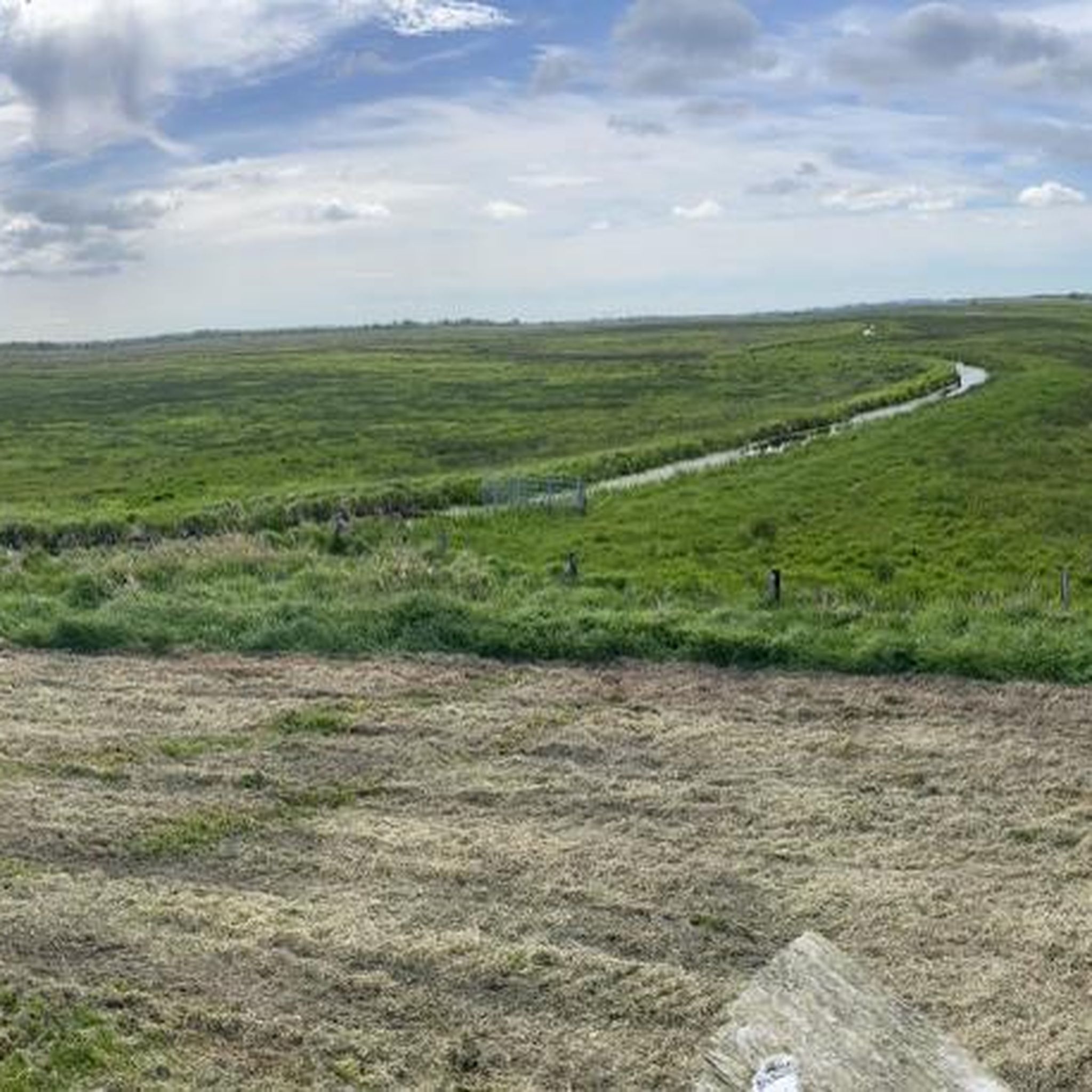
The running trails in Champrond-En-Gâtine offer diverse terrain. You'll find extensive forests, providing ample shaded paths, as well as rolling hills and tranquil river valleys. The traditional 'bocage' countryside, with its characteristic hedgerows, also adds to the scenic variety, ensuring both sheltered and expansive views.
Are there easy running routes suitable for beginners?
Yes, Champrond-En-Gâtine has several easy running routes perfect for beginners or those looking for a more relaxed pace. There are 4 routes specifically rated as easy, allowing you to enjoy the natural beauty without significant challenges.
Are there any circular running routes in Champrond-En-Gâtine?
Many of the running routes in Champrond-En-Gâtine are circular, offering convenient loop options. For example, the Running loop from Happonvilliers is a popular 7.8 km circular trail, and the Running loop from Combres provides a 10.3 km option through the countryside.
What do other runners enjoy most about jogging in Champrond-En-Gâtine?
The running routes in Champrond-En-Gâtine are highly rated by the komoot community, with an average score of 4.0 stars from 4 reviews. Runners often praise the peaceful, traffic-free environment and the immersive experience in nature, particularly the dense forests and varied terrain within the Perche Regional Natural Park.
Are there any longer distance running options for experienced runners?
Absolutely. While many local circuits are shorter, the region is part of an extensive network. For longer distances, you can find routes like the 32.8 km 'de Senonches à Champrond-en-Gâtine' or even the 61.3 km 'de Champrond-en-Gâtine à Illiers-Combray', offering ample opportunities for extended jogging sessions.
What are some notable trails mentioned in the region?
Beyond the komoot routes, the region features several well-known trails. 'Le Bois Landry' is an 18.5 km circuit through the forest, while 'Le Brisecou' is a shorter 6 km forest loop. 'Le Beauvais' offers a 7 km route through the countryside, passing by hamlets and quarries. These trails are often maintained by the Perchemin association.
What can I see along the running routes in Champrond-En-Gâtine?
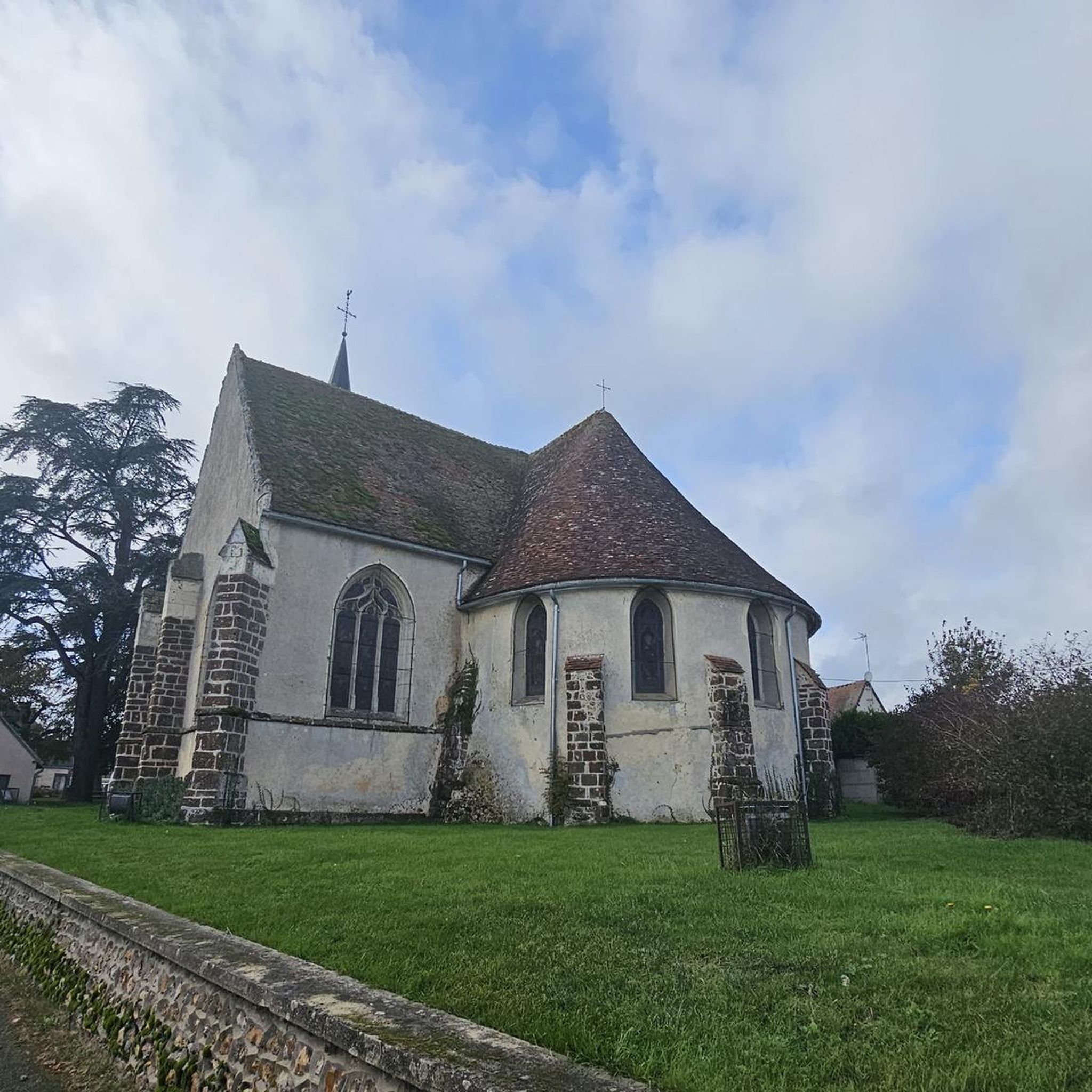
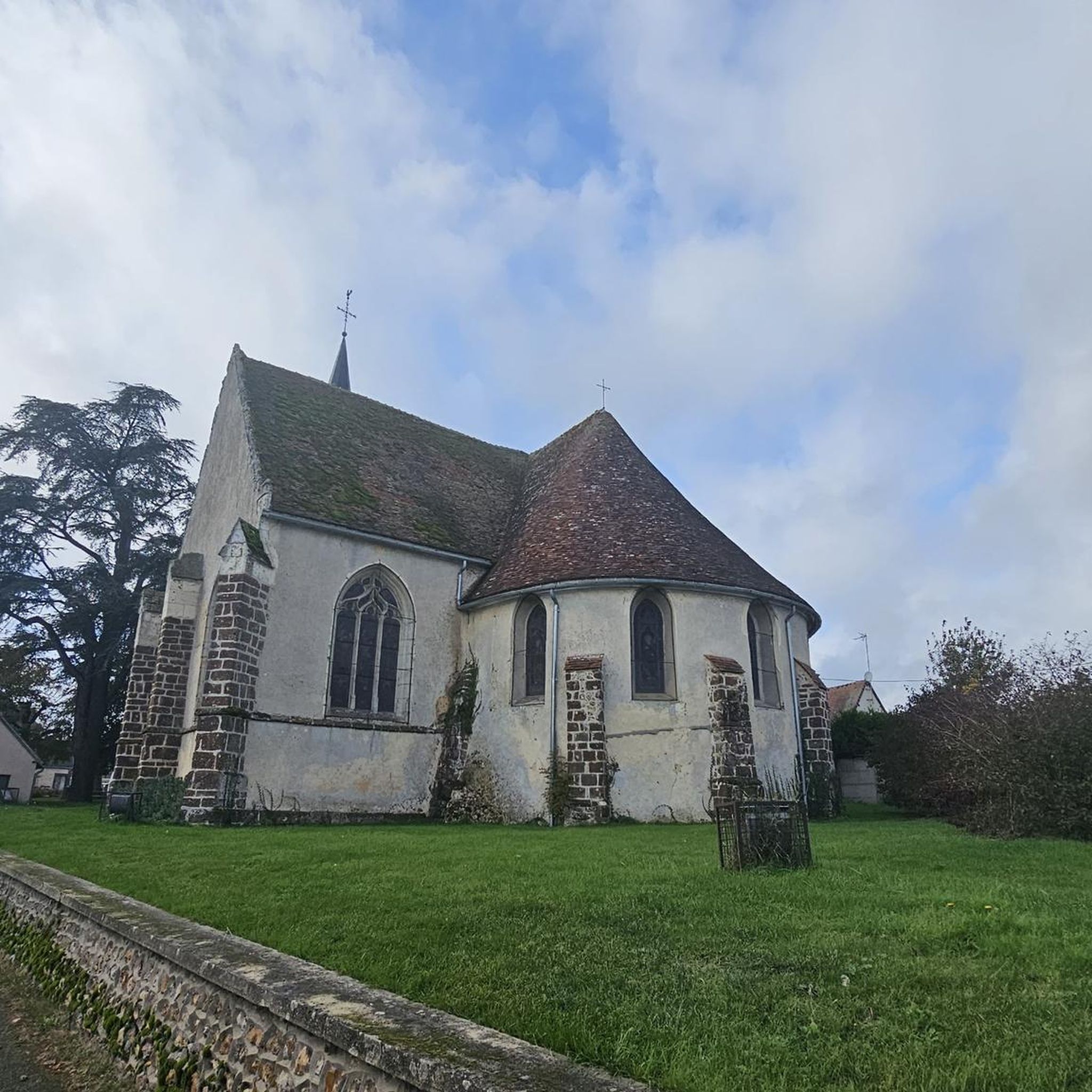
While enjoying your run, you might encounter various points of interest. The region is known for its natural beauty, including extensive forests and the tranquil Lac de Champrond. You can also discover historical sites like the Thiron-Gardais Abbey Gardens or the Saint Martin Church, and experience the serene Shaded section in the forest.
Are there any routes that feature water bodies like lakes or ponds?
Yes, the presence of the Lac de Champrond provides a tranquil setting, and you can find routes that incorporate water features. For instance, the Étang Neuf loop from Les Corvées-les-Yys and the Étang de Haute Gâtine loop from Les Corvées-les-Yys both offer scenic running experiences around ponds.
Is Champrond-En-Gâtine a good place for running with varied elevation?
Yes, the broader Perche region, including Champrond-En-Gâtine, is characterized by rolling hills, offering varied elevation for your runs. For example, the Saint Barbara Chapel loop from Église Saint-André features an elevation gain of over 160 meters, providing a moderate challenge for those seeking some uphill work.
What is the best time of year to go running in Champrond-En-Gâtine?
The extensive forests in Champrond-En-Gâtine provide ample shaded paths, making for pleasant running conditions, especially during warmer months. The preserved natural state of the Perche Regional Natural Park means that spring and autumn also offer beautiful scenery with comfortable temperatures for outdoor activities.
Most popular attractions around Champrond-En-Gâtine

Get inspired with the komoot mobile app


Explore more
Browse the best Running Trails & Routes in other regions.
