The best walks and hikes around Niederkontz
4.4
(867)
4,600
hikers
11
hikes
Hiking around Niederkontz features varied terrain characterized by river valleys, rolling hills, and forested areas. The region, situated near the tri-border area of France, Luxembourg, and Germany, includes features like the Stromberg hill and limestone cliffs. These Niederkontz hiking routes offer diverse landscapes for outdoor exploration.
Best hiking trails around Niederkontz
- The most popular hiking route is Stromberg — loop from Contz-les-Bains, a 2.8 miles (4.6 km) trail that takes 1 hour 24 minutes to complete. This easy route…
Last updated: August 19, 2026
4.1
(23)
85
hikers
4.56km
01:24
160m
160m
Easy hike. Great for any fitness level. Easily-accessible paths. Suitable for all skill levels.
4.2
(6)
36
hikers
Moderate hike. Good fitness required. Easily-accessible paths. Suitable for all skill levels.

Sign up for free
4.9
(7)
34
hikers
8.77km
02:35
250m
250m
Moderate hike. Good fitness required. Easily-accessible paths. Suitable for all skill levels.
5.0
(3)
23
hikers
11.5km
03:20
290m
290m
Moderate hike. Good fitness required. Easily-accessible paths. Suitable for all skill levels.
8
hikers
Moderate hike. Good fitness required. Mostly accessible paths. Sure-footedness required.
Get access to more routes and recommendations from other explorers.
Sign up for free
Already have an account?
Our route recommendations are based on thousands of hikes, rides, and runs completed by other people on komoot.
Start today with a free account
Your next adventure awaits.
Login or Signup

Tips from the Community

Monument to the Schengen Agreement. Very interesting and historic place.
1
0

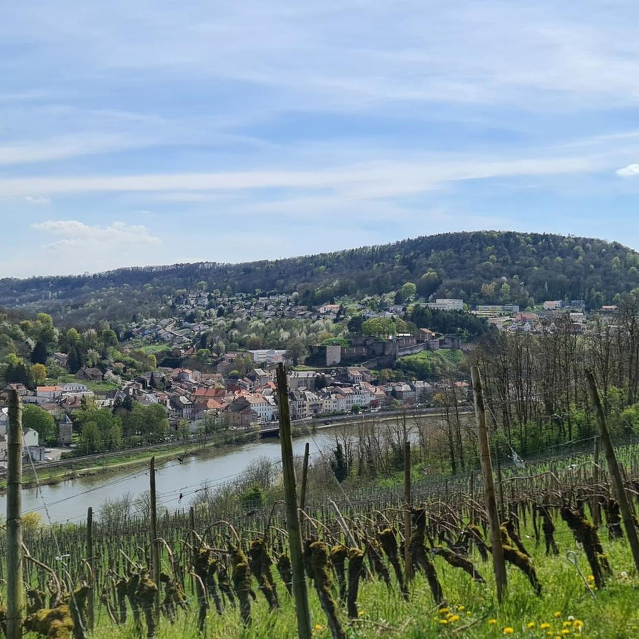
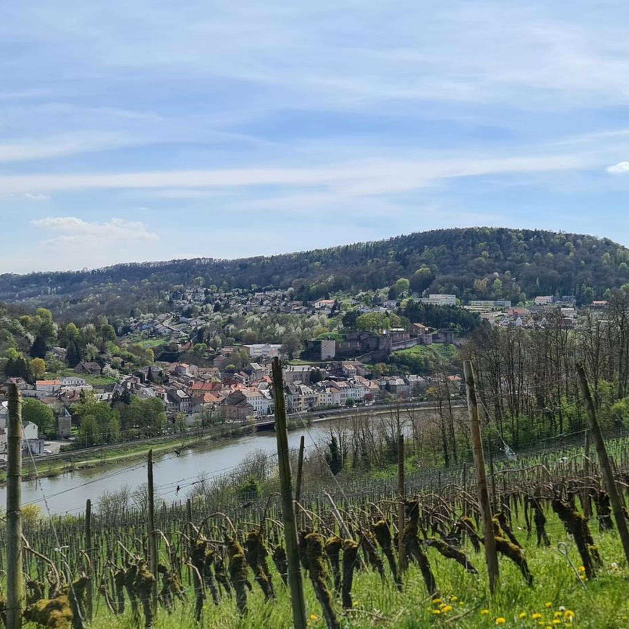
A prominent hill on the banks of the Moselle on the opposite bank to Sierck Les Bains. In June at the St Jean Festival there is a rolling of a flaming wheel down the hill.
0
0

This modern open-air exhibition awaits you right on the banks of the Moselle in Schengen. Several information panels tell you about the history of Europe, the Schengen Agreement, and the significance of this place for European unity. 📌 Highlight tip: Ideal for a short, weather-independent break with a view. Even in the rain, the visit is worthwhile – because Europe begins right here.
0
0
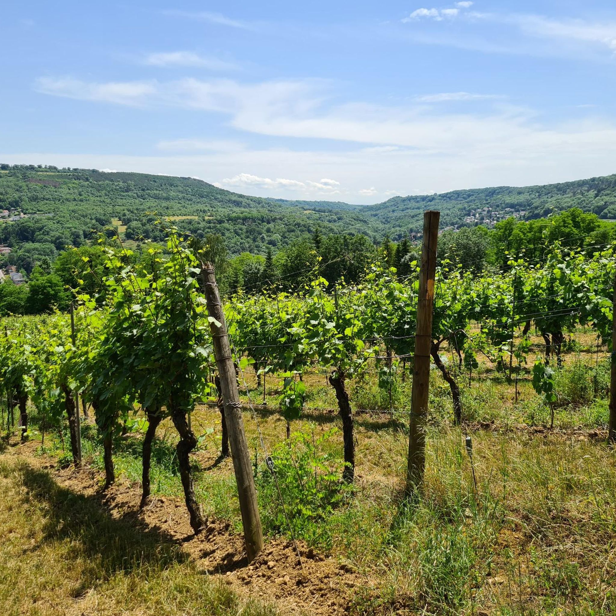
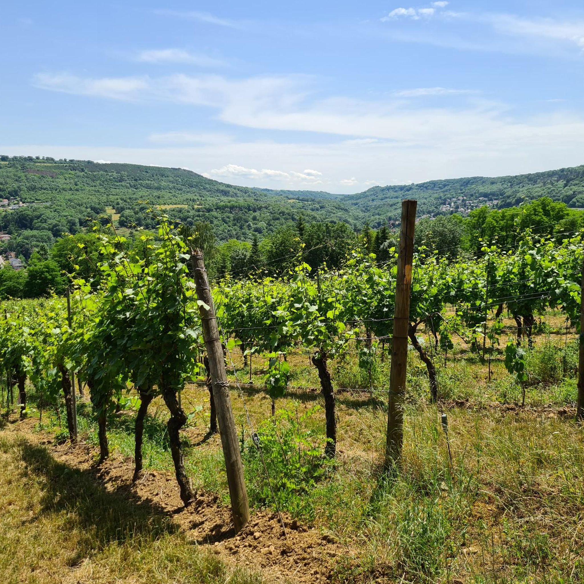
A breathtaking vantage point with sweeping views over the Moselle Valley, the surrounding villages, and the lush green hills of Luxembourg. The information panel explains everything you'll see – from historic buildings to vineyard terraces. 📌 Highlight tip: Ideal for a photo break – especially in changing light, impressive atmospheres are created here!
1
0
An impressive view from the limestone plateau of the Stromberg near Niederkontz to the medieval castle complex of Sierck-les-Bains. The fortress sits enthroned on a rocky outcrop above the Moselle River – from a distance, it looks like a movie-set castle amidst the green hills. Tip: The view is particularly impressive on clear days – bring binoculars or a zoom lens to see details like the defensive walls and towers from a distance. Ideal for panorama fans!
2
0
A magnificent vantage point high up on the Stromberg (314 m) near Niederkontz – with expansive panoramic views over the Moselle Valley, the vineyards, and across to Luxembourg. Nature and the distant view merge here to create a special moment. Tip: Come on clear days or at sunset – the river and landscape will glow golden, and you'll have the perfect spot for a peaceful photo or simply to enjoy.
1
0
A tranquil limestone cave on the summit of the Stromberg near Niederkontz – formed by shell limestone and a former quarry, with delicate stalactite structures. A fascinating, natural cavern space off the beaten track. Tip: Bring a flashlight – and stay under the rock roof to truly experience the soft light and tranquility within.
1
0
🌄 Stromberg – Limestone cliffs near Niederkontz A dry rock formation on the Stromberg summit – 314m high – surrounded by forest, with views of the Moselle Valley and the Luxembourg hills. A tranquil spot with an impressive panorama. Tip: Ideal on clear days – a short detour from the path is worthwhile for a nature photo with a truly striking effect.
4
0
Frequently Asked Questions
What kind of landscape can I expect when hiking around Niederkontz?
Hiking around Niederkontz offers a diverse landscape characterized by picturesque river valleys, gentle rolling hills, and extensive forested areas. You'll encounter notable features like the Stromberg hill and impressive limestone cliffs. The region's location near the tri-border area of France, Luxembourg, and Germany contributes to its varied natural beauty.
How many hiking trails are available around Niederkontz?
There are 12 distinct hiking routes detailed in this guide for the Niederkontz area. These trails offer a good mix of experiences, with 6 easy routes and 6 moderate routes, ensuring options for various fitness levels.
Are there easy hiking trails suitable for beginners in Niederkontz?
Yes, Niederkontz offers several easy hiking trails perfect for beginners or those looking for a relaxed walk. For example, the Stromberg — loop from Contz-les-Bains is an easy 2.8-mile (4.6 km) route that explores the Stromberg hill, offering pleasant views.
Are there more challenging hikes for experienced hikers?
While there are no 'difficult' graded routes, the Niederkontz area features several moderate trails that provide a good challenge. The Koch House, Schengen – Schengen Stars Monument loop from Contz-les-Bains is a moderate 7.3-mile (11.7 km) path with significant elevation gain, offering a more strenuous experience.
Can I find circular hiking routes in the Niederkontz area?
Yes, many of the hiking routes around Niederkontz are circular, allowing you to start and end at the same point without needing to retrace your steps. Examples include the Stromberg Limestone Cliffs – Bench at the Edge of the Field loop from Contz-les-Bains and the Bench at the Edge of the Field – View of Sierck castle loop from Contz-les-Bains.
What interesting landmarks or natural sights can I see along the hiking trails?
The trails around Niederkontz offer access to several interesting sights. You can explore the Stromberg Limestone Cliffs, which are a prominent natural monument. Additionally, some routes lead to viewpoints like the Perl Three-Country View — Monument and Viewpoint, offering panoramic vistas of the tri-border region.
Are there any lakes or water features near the hiking routes?
Yes, the region around Niederkontz is close to several beautiful lakes. You can find highlights such as Remerschen Lake and Lac du Mirgenbach, which are popular spots for nature observation and relaxation. The Birdwatching Tower at Remerschen Ponds is also a notable highlight for wildlife enthusiasts.
What do other hikers enjoy the most about hiking in Niederkontz?
The hiking routes in Niederkontz are highly rated by the komoot community, with an average score of 4.5 stars from over 650 reviews. Hikers frequently praise the varied terrain, the scenic views of river valleys and hills, and the tranquility of the forested areas. The well-maintained paths and the opportunity to explore the tri-border region are also often highlighted.
Is Niederkontz a good destination for family-friendly hikes?
Yes, Niederkontz offers several family-friendly options, particularly among its easy routes. The shorter, less strenuous loops, often through forests or along gentle hills, are suitable for families with children. These trails provide an excellent opportunity to enjoy nature together without being overly challenging.
Are dogs allowed on the hiking trails in Niederkontz?
Generally, dogs are welcome on hiking trails in this region, especially if kept on a leash. The natural environment with forests and open fields provides a great setting for walks with your canine companion. However, always be mindful of local regulations, especially in nature reserves or near agricultural areas, and ensure you clean up after your pet.
What is the best time of year to go hiking in Niederkontz?
The best time to hike in Niederkontz is typically during spring (April to June) and autumn (September to October). During these seasons, the weather is generally mild, and the natural scenery is particularly beautiful, with blooming flowers in spring and vibrant foliage in autumn. Summer can also be pleasant, but it's advisable to start early to avoid the midday heat.
Are there places to eat or stay near the hiking trails in Niederkontz?
Given Niederkontz's location near the tri-border area, you'll find various amenities in nearby towns like Contz-les-Bains or Sierck-les-Bains. These towns offer cafes, restaurants, and accommodation options ranging from guesthouses to hotels, providing convenient places to refuel and rest after your hikes.
Most popular routes around Niederkontz
Most popular attractions around Niederkontz

Get inspired with the komoot mobile app


Explore more
Browse the best Hikes in other regions.
