The best mountain hikes around Vaz/Obervaz
5.0
(3)
37
hikers
4
hikes
Mountaineering routes Vaz/Obervaz are situated in Graubünden, Switzerland, a region characterized by majestic alpine peaks and diverse terrain. The landscape features challenging alpine routes, scenic ridge hikes, and deep gorges carved by rivers. Prominent natural features include the Parpaner Rothorn and Lenzerhorn, alongside glacial formations and high-altitude lakes. The area offers a spectrum of routes, from demanding expeditions to more accessible paths.
Best mountaineering routes around Vaz/Obervaz
- The most popular mountaineering route is Cliffside Ladder loop from Donat, an…
Last updated: July 7, 2026
5.0
(1)
22
hikers
13.6km
07:09
1,420m
1,420m
Hard mountaineering route. Very good fitness required. Sure-footedness, sturdy shoes and alpine experience required.
5.0
(2)
8
hikers
18.5km
07:20
990m
990m
Hard mountaineering route. Very good fitness required. Sure-footedness, sturdy shoes and alpine experience required.

Sign up for free
3
hikers
9.60km
03:09
470m
470m
Moderate mountaineering route. Good fitness required. Easily-accessible paths. Suitable for all skill levels.
2
hikers
11.0km
04:05
560m
560m
Moderate mountaineering route. Good fitness required. Mostly accessible paths. Sure-footedness required.
2
hikers
18.6km
07:51
1,200m
1,200m
Hard mountaineering route. Very good fitness required. Sure-footedness, sturdy shoes and alpine experience required.
Our route recommendations are based on thousands of hikes, rides, and runs completed by other people on komoot.
Start today with a free account
Your next adventure awaits.
Login or Signup
Popular around Vaz/Obervaz
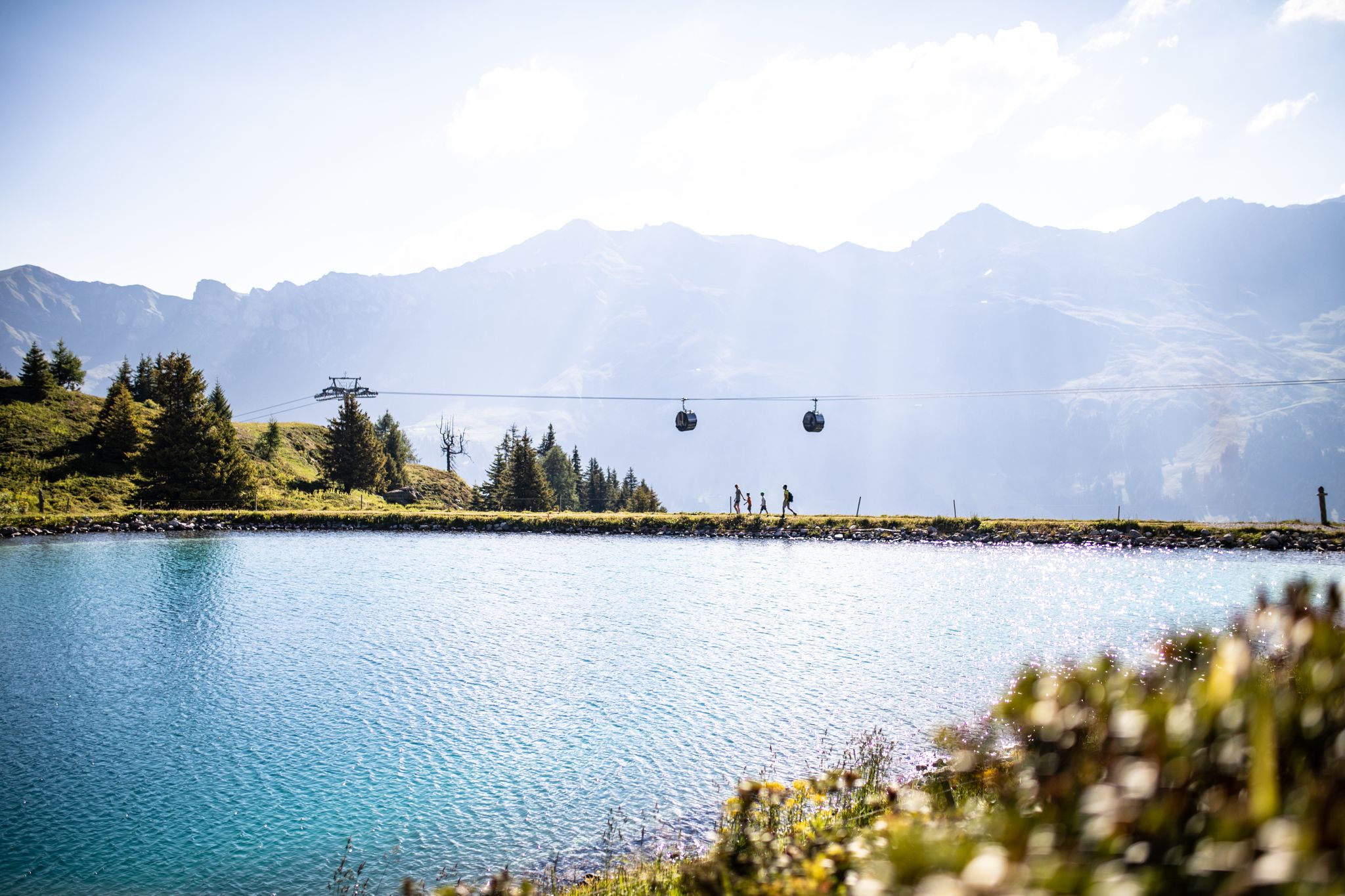
From the peaks to the cool waters – Coolcation Lenzerheide
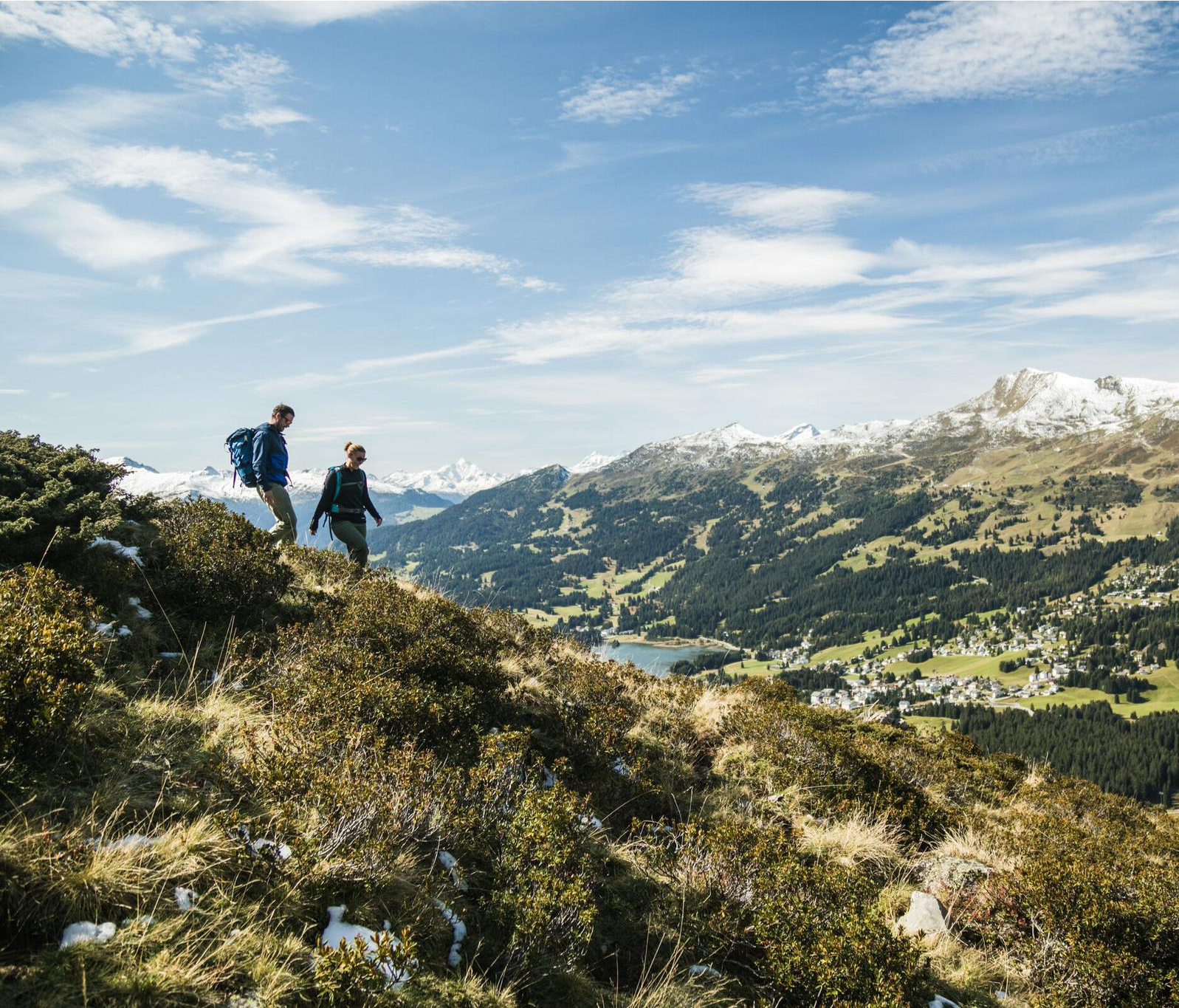
Diverse natural beauty – autumn hiking in Lenzerheide
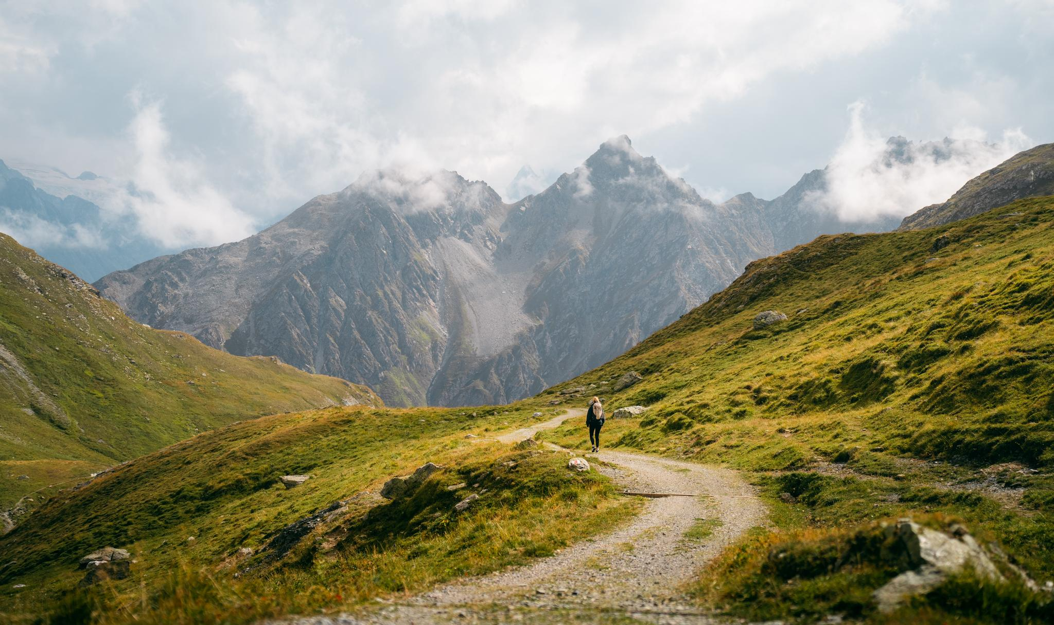
Quiet villages, proud passes, impressive history – the Via Sett
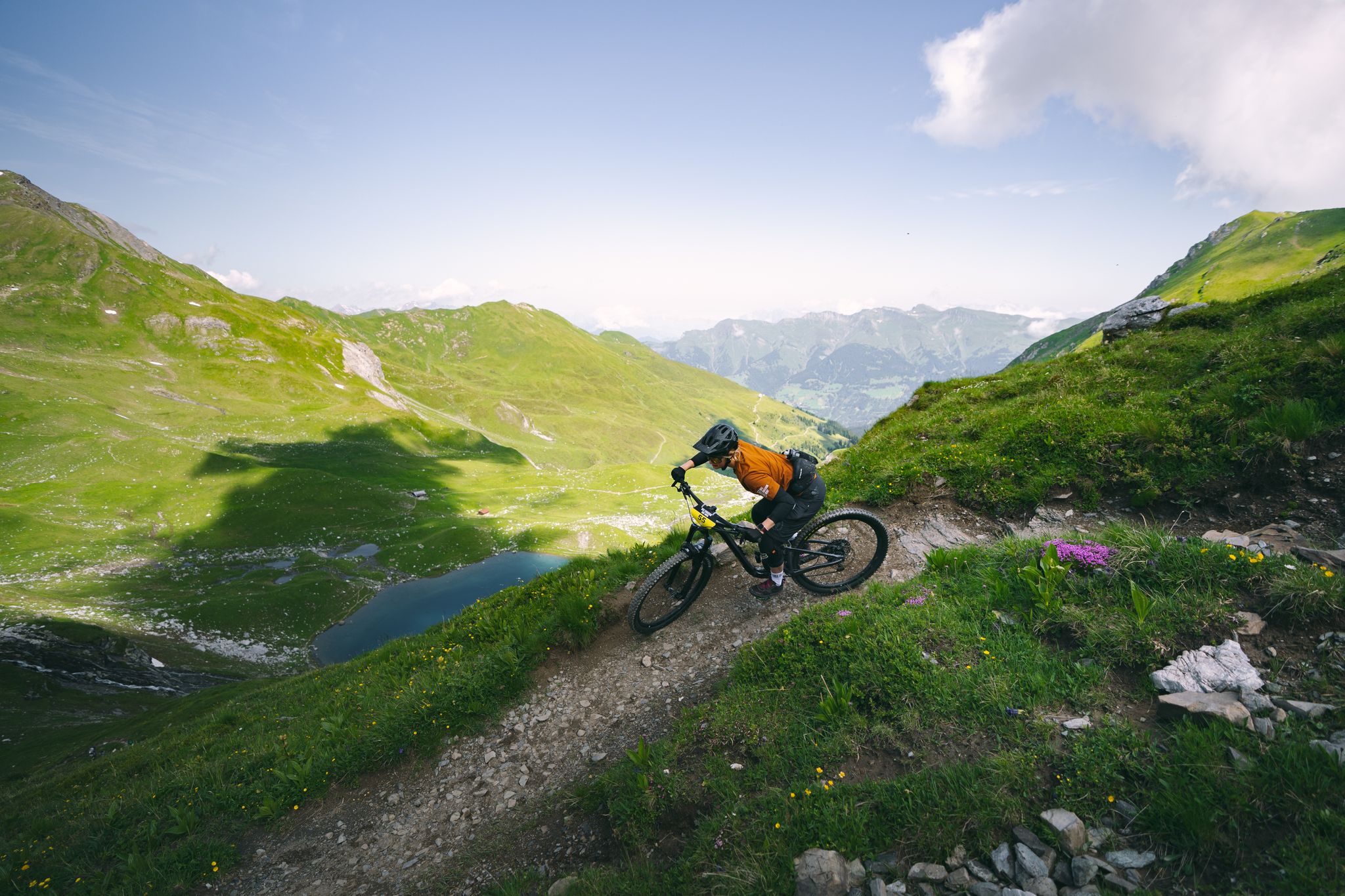
Hundreds of kilometres of trails and endless peaks - MTB in Arosa
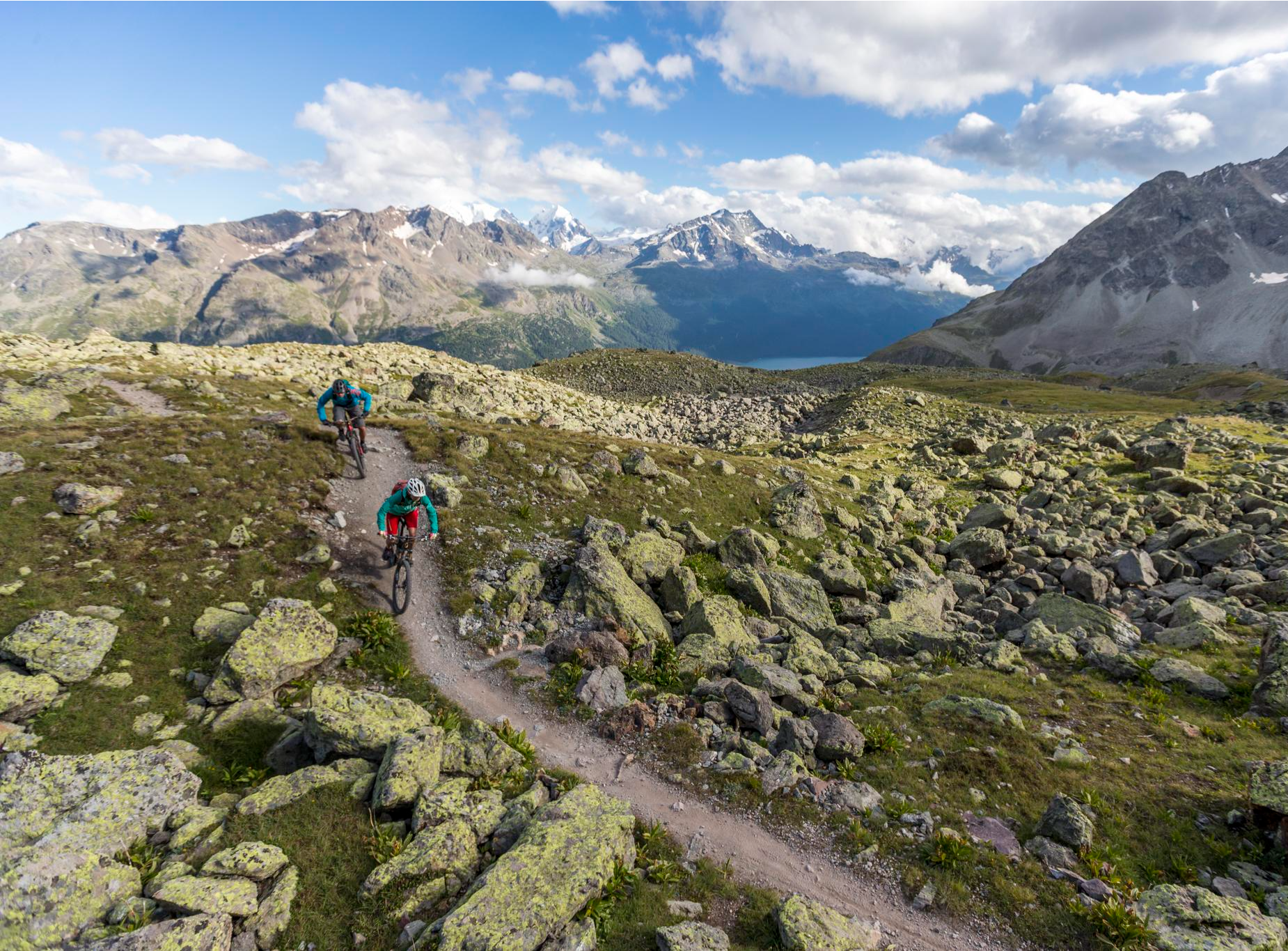
Consideration on the trails – it just makes sense!
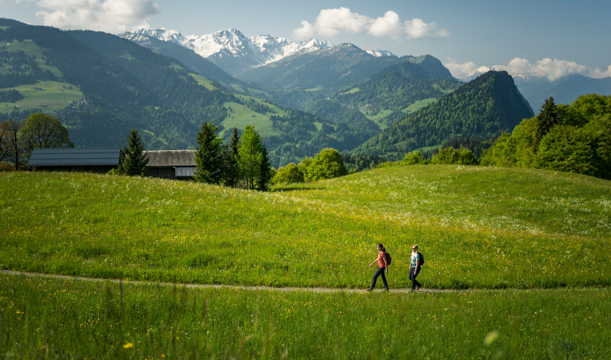
Hiking with respect and tolerance – it just makes sense!
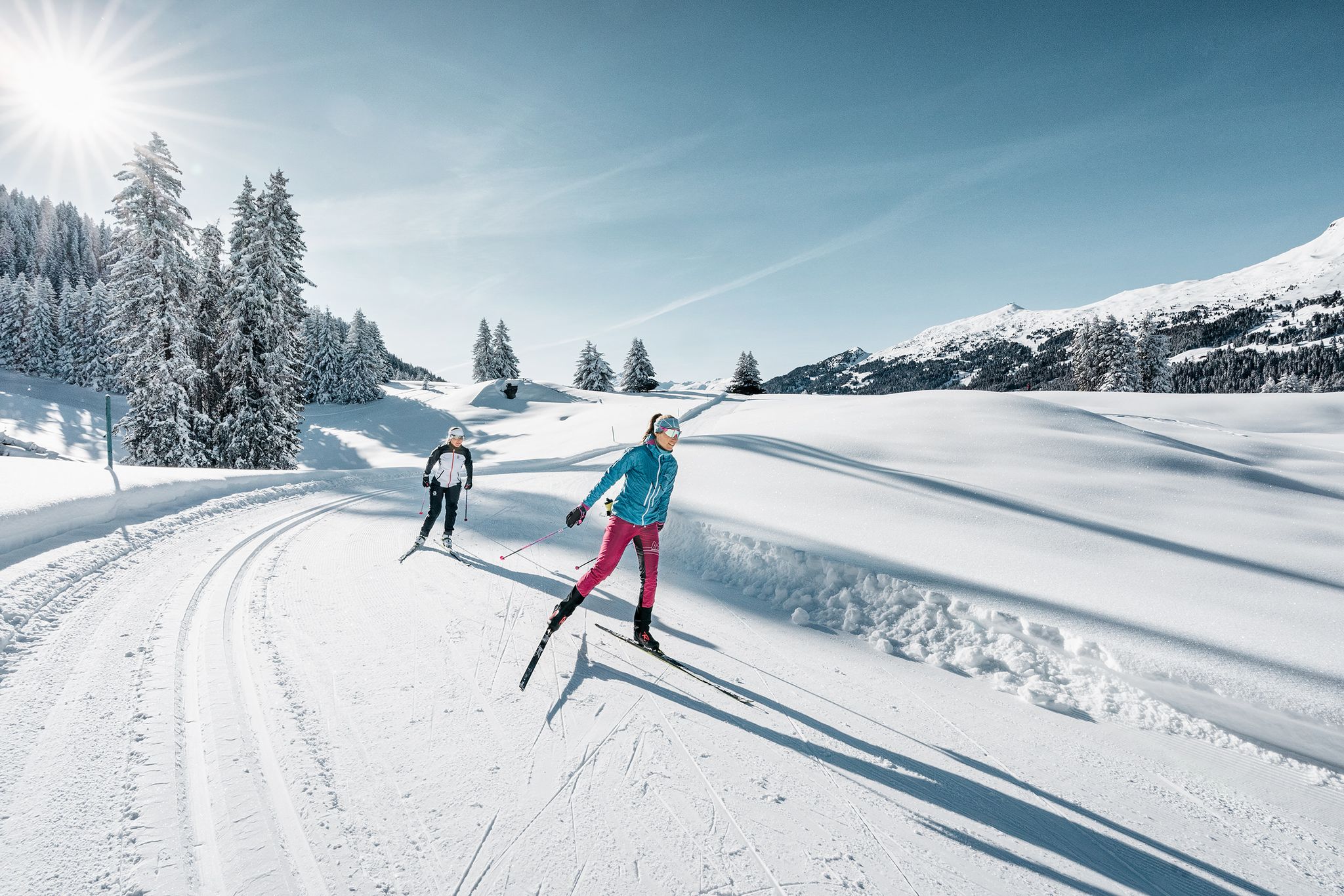
Cross-country skiing fever in the Graubünden region
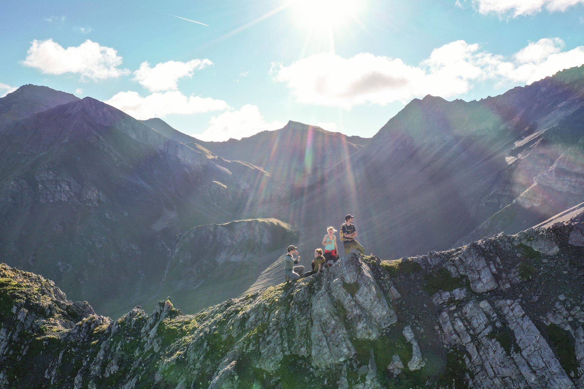
Satisfy your wanderlust in the Lenzerheide region
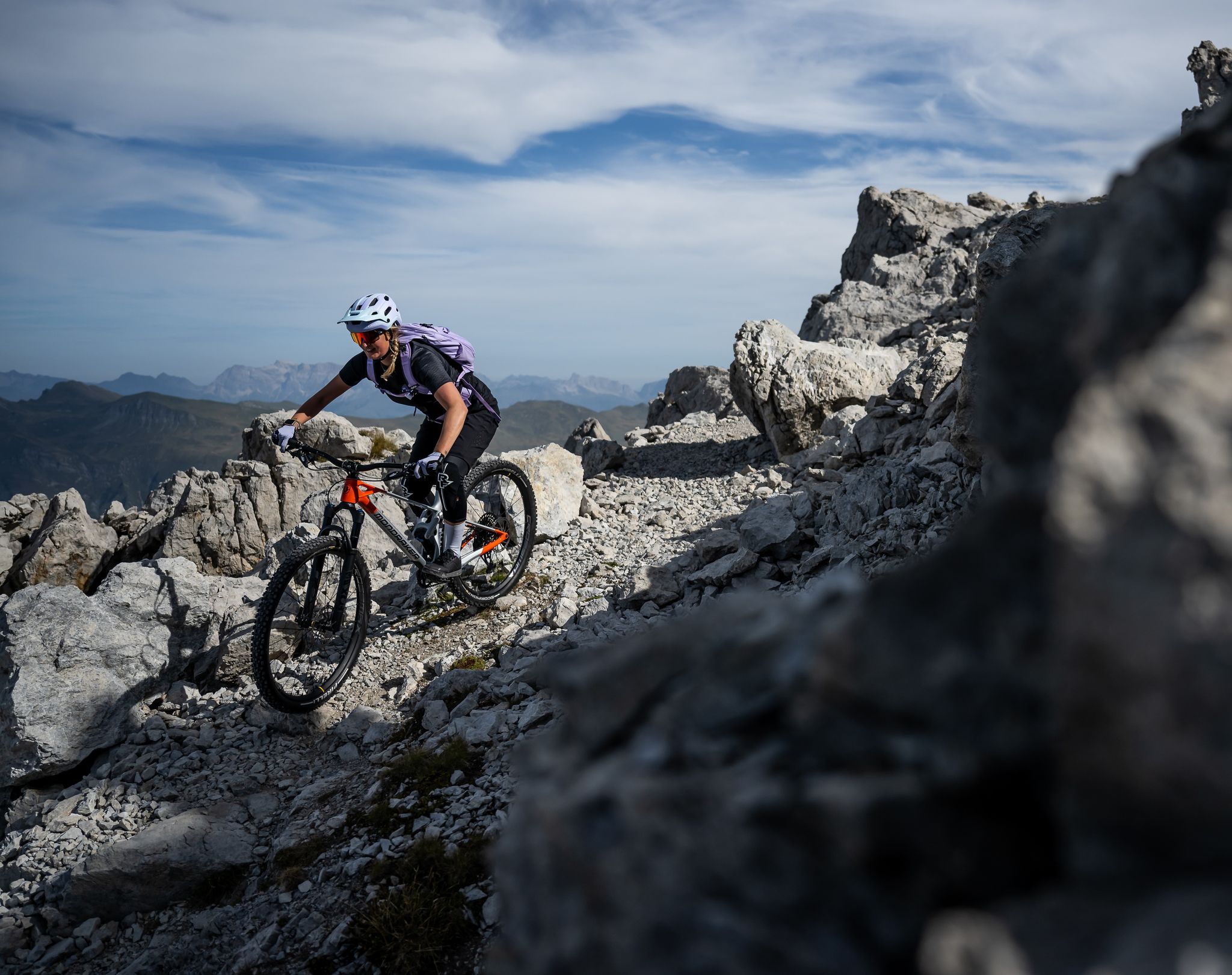
Endless trail fun in the Lenzerheide region
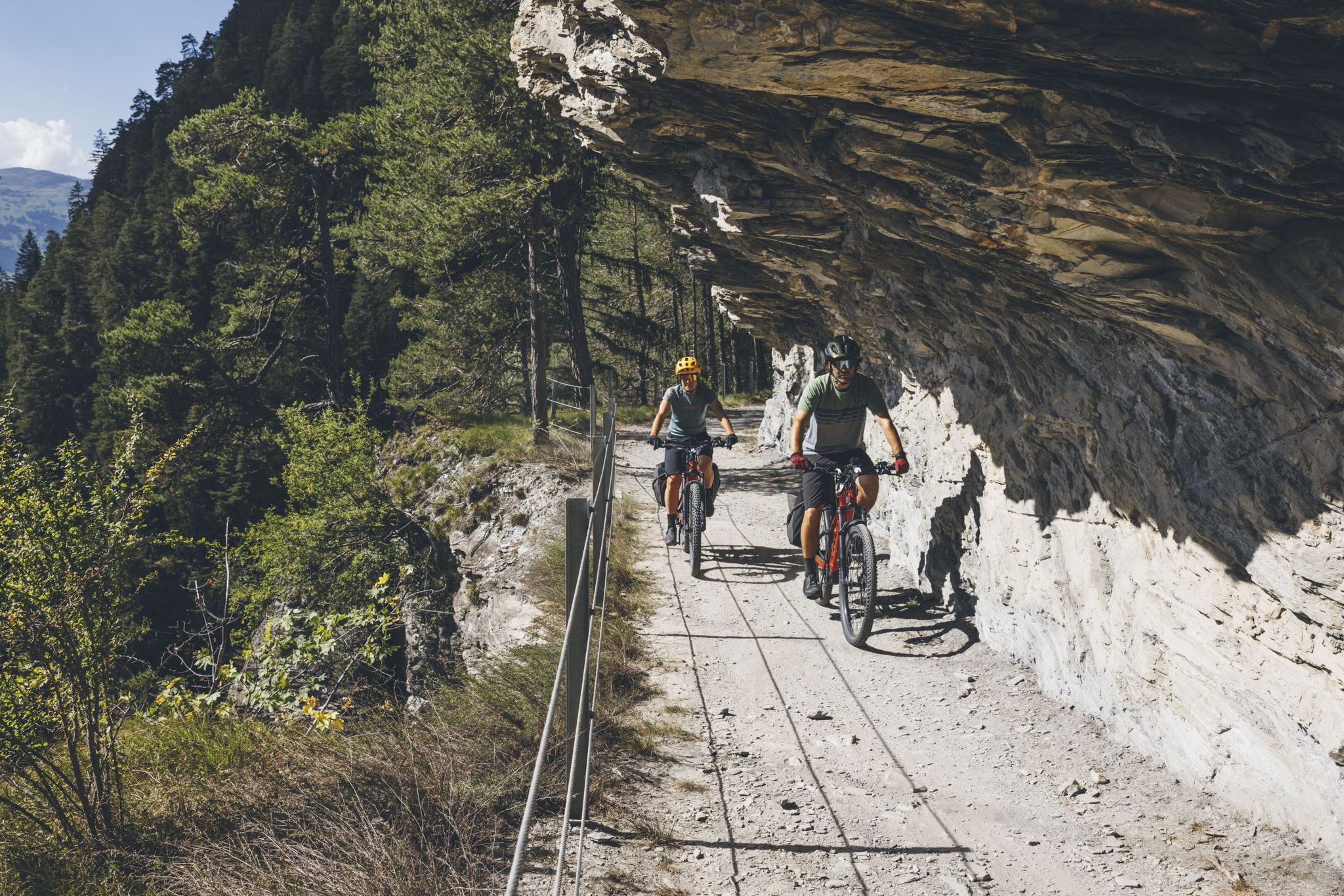
Experience the great adventure of the Glacier Bike Tour
Other adventures around Vaz/Obervaz


Tips from the Community


nice connection from Dark side of the Moon to Alplisee
0
0

Beautifully rounded summit, often crowded, wide panoramic view
0
0

Highly recommended: Hörnlihütte with regional products and friendly staff.
1
0

beautiful, crystal-clear mountain lake; you can also swim if you can stand the temperature
0
0


Beautiful local recreation area. Definitely worth a visit 😉.
0
0

Gredigs Fürggli is the name of this wide and scenic mountain pass between Arosa and Lenzerheide. The easiest way to reach it by mountain bike is via the Stivetta cable car. The Älplisee Trail down to Arosa begins at Gredigs Fürggli.
1
0
Frequently Asked Questions
What types of mountaineering routes can I find in Vaz/Obervaz?
Vaz/Obervaz offers a diverse range of mountaineering routes, from challenging alpine expeditions to scenic ridge hikes. You'll find paths leading to majestic peaks like the Parpaner Rothorn and Lenzerhorn, as well as routes through varied alpine landscapes and deep river gorges. The region caters to different skill levels, with both moderate ascents and demanding high-alpine options available.
Are there any moderate mountaineering routes suitable for those looking for a less strenuous challenge?
Yes, Vaz/Obervaz has several moderate mountaineering routes. For example, the Libi loop from Donat is a moderate 9.6 km trail that takes about 3 hours and 9 minutes to complete. Another excellent moderate option is the Dreibündenstein Monument – Furggabüel loop from Malix, which is 11.0 km long and typically takes around 4 hours and 5 minutes.
What are some of the most challenging mountaineering routes in the Vaz/Obervaz region?
For experienced mountaineers seeking a challenge, Vaz/Obervaz offers several difficult routes. The Cliffside Ladder loop from Donat is a demanding 13.3 km trail with significant elevation gain, taking approximately 7 hours to complete. Another difficult option is the Parpaner Rothorn – Gredigs Fürggli loop from Arosa, an 18.8 km path offering expansive views from the prominent Parpaner Rothorn.
Are there any circular mountaineering routes in Vaz/Obervaz?
Yes, many of the mountaineering routes in Vaz/Obervaz are designed as loops, allowing you to start and end in the same location. Examples include the challenging Cliffside Ladder loop from Donat and the scenic Parpaner Rothorn – Gredigs Fürggli loop from Arosa. For a moderate option, consider the Libi loop from Donat.
What natural landmarks or viewpoints can I expect to see along mountaineering routes in Vaz/Obervaz?
The region is rich in natural landmarks and offers stunning viewpoints. You can encounter dramatic features like the Viamala Gorge with its 300-meter-deep rock walls, or enjoy panoramic views from the Parpaner Rothorn Summit. Other notable points include the Dreibündenstein Monument and the tranquil Heidsee Lake, often visible from higher trails.
Are there any family-friendly options for exploring the mountains around Vaz/Obervaz?
While many mountaineering routes are challenging, the broader Vaz/Obervaz region offers family-friendly paths. For instance, the 'Globi Wanderweg Lenzerheide' and interactive theme trails like the Autschliweg and Steinwichtelweg at Parpaner Rothorn are designed to make hiking enjoyable for families with children. These often provide a gentler introduction to the alpine environment.
What is the best time of year for mountaineering in Vaz/Obervaz?
The best time for mountaineering in Vaz/Obervaz is typically during the warmer months, from late spring to early autumn (June to September), when trails are generally free of snow and weather conditions are more stable. Always check local weather forecasts and trail conditions before heading out, as alpine weather can change rapidly.
How do other mountaineers rate the routes in Vaz/Obervaz?
The mountaineering routes in Vaz/Obervaz are highly regarded by the komoot community, with an average score of 5.0 stars from over 4 reviews. Mountaineers often praise the dramatic alpine peaks, extensive ridge hikes, and the diverse terrain that offers options for various ability levels.
Can I access mountaineering routes in Vaz/Obervaz using public transport?
Yes, the region is well-connected, and many starting points for mountaineering routes are accessible via public transport. Additionally, cable cars, such as those leading to the Parpaner Rothorn, can help you reach higher elevations, shortening your ascent or providing easier access to scenic areas.
Are there any routes that feature unique flora or natural phenomena?
Yes, the region is known for its diverse plant life. The Yellow Lady's Slipper Orchids loop from Arosa is a difficult 15.3 km mountaineering route that highlights specific flora. Additionally, the Alpenfloraweg Lenzerheide offers a leisurely hike focused on local plant life, and the Sanaspans Waterfall provides a refreshing natural feature.
What is the overall difficulty level of mountaineering in Vaz/Obervaz?
Mountaineering in Vaz/Obervaz offers a range of difficulties. Out of the 7 routes listed, 3 are classified as moderate and 4 as difficult. This means there are options for both those seeking a significant challenge with rugged alpine terrain and considerable elevation gain, as well as those looking for a less strenuous but still rewarding mountain experience.
Most popular routes around Vaz/Obervaz
Most popular attractions around Vaz/Obervaz

Get inspired with the komoot mobile app


Explore more
Browse the best Mountain Hikes & Routes in other regions.
