The best mountain hikes around Niederurnen
4.8
(58)
476
hikers
38
hikes
Mountaineering routes around Niederurnen are situated in the Glarus region, characterized by its alpine peaks, deep valleys, and varied high-altitude terrain. The area offers significant elevation gains, making it suitable for challenging ascents. The landscape transitions from forested lower slopes to exposed rocky ridges and summits, providing diverse environments for mountaineering.
Best mountaineering routes around Niederurnen
- The most popular mountaineering route is Obersee (Glarus) loop from Rautispitz, an 8.6 miles (13.9 km) trail that takes 7 hours 10 minutes…
Last updated: October 10, 2026
4.7
(3)
39
hikers
13.8km
07:09
1,240m
1,240m
Hard mountaineering route. Very good fitness required. Sure-footedness, sturdy shoes and alpine experience required.
5.0
(1)
25
hikers
8.48km
04:03
650m
650m
Hard mountaineering route. Good fitness required. Sure-footedness, sturdy shoes and alpine experience required.

5.0
(3)
26
hikers
15.3km
06:55
1,210m
1,210m
Hard mountaineering route. Very good fitness required. Sure-footedness, sturdy shoes and alpine experience required.
5.0
(3)
15
hikers
10.9km
05:09
920m
920m
Hard mountaineering route. Very good fitness required. Mostly accessible paths. Sure-footedness required.
5.0
(3)
11
hikers
13.0km
05:40
750m
750m
Hard mountaineering route. Very good fitness required. Sure-footedness, sturdy shoes and alpine experience required.
Get access to more routes and recommendations from other explorers.
Already have an account?
Our route recommendations are based on thousands of hikes, rides, and runs completed by other people on komoot.
Start today with a free account
Your next adventure awaits.

Other adventures around Niederurnen

Tips from the Community

You are also allowed to camp there. WC and sanitary facilities available, as well as a dry room.
1
0


Beautiful lake, with a nice gravel path on the east bank, right along the shore.
0
0

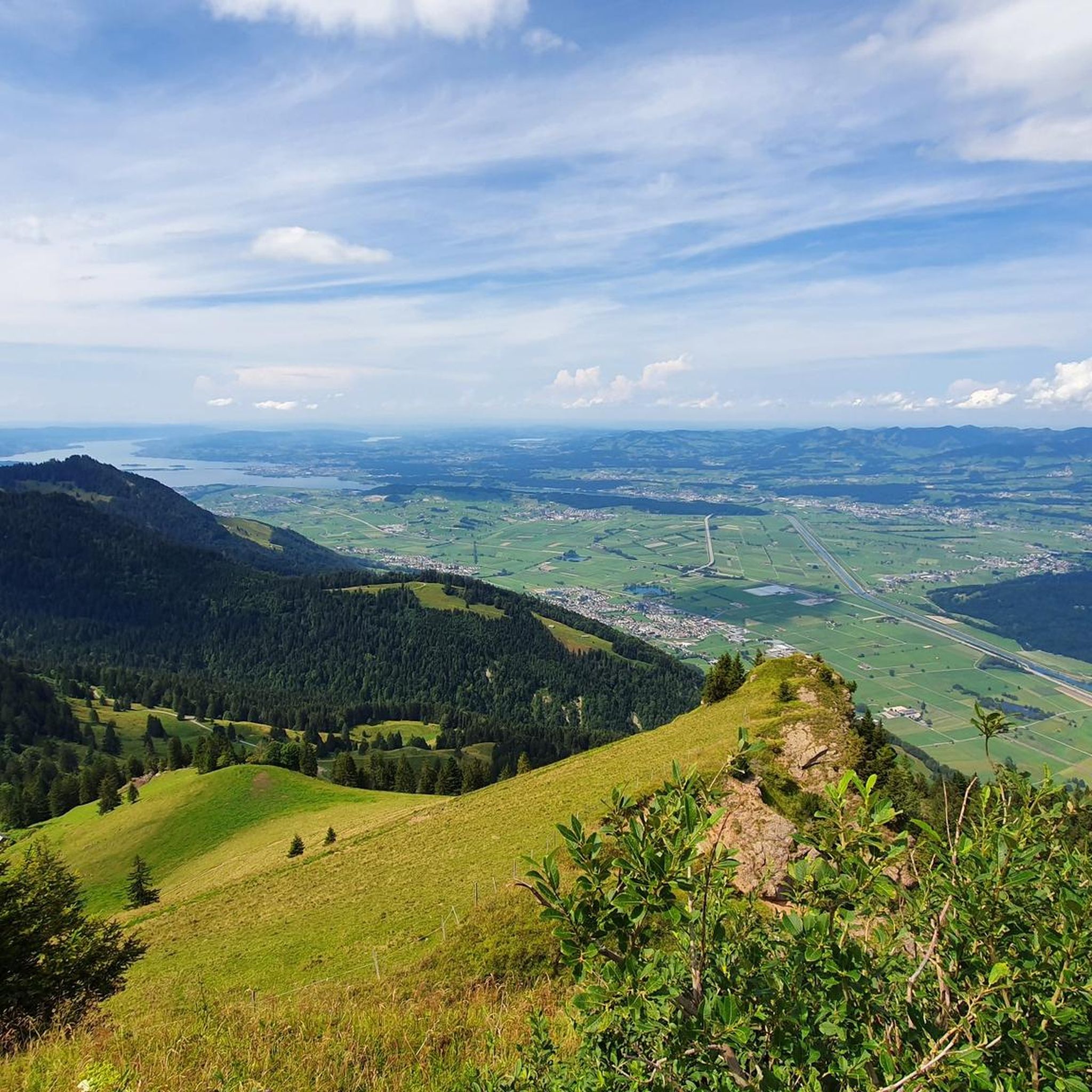
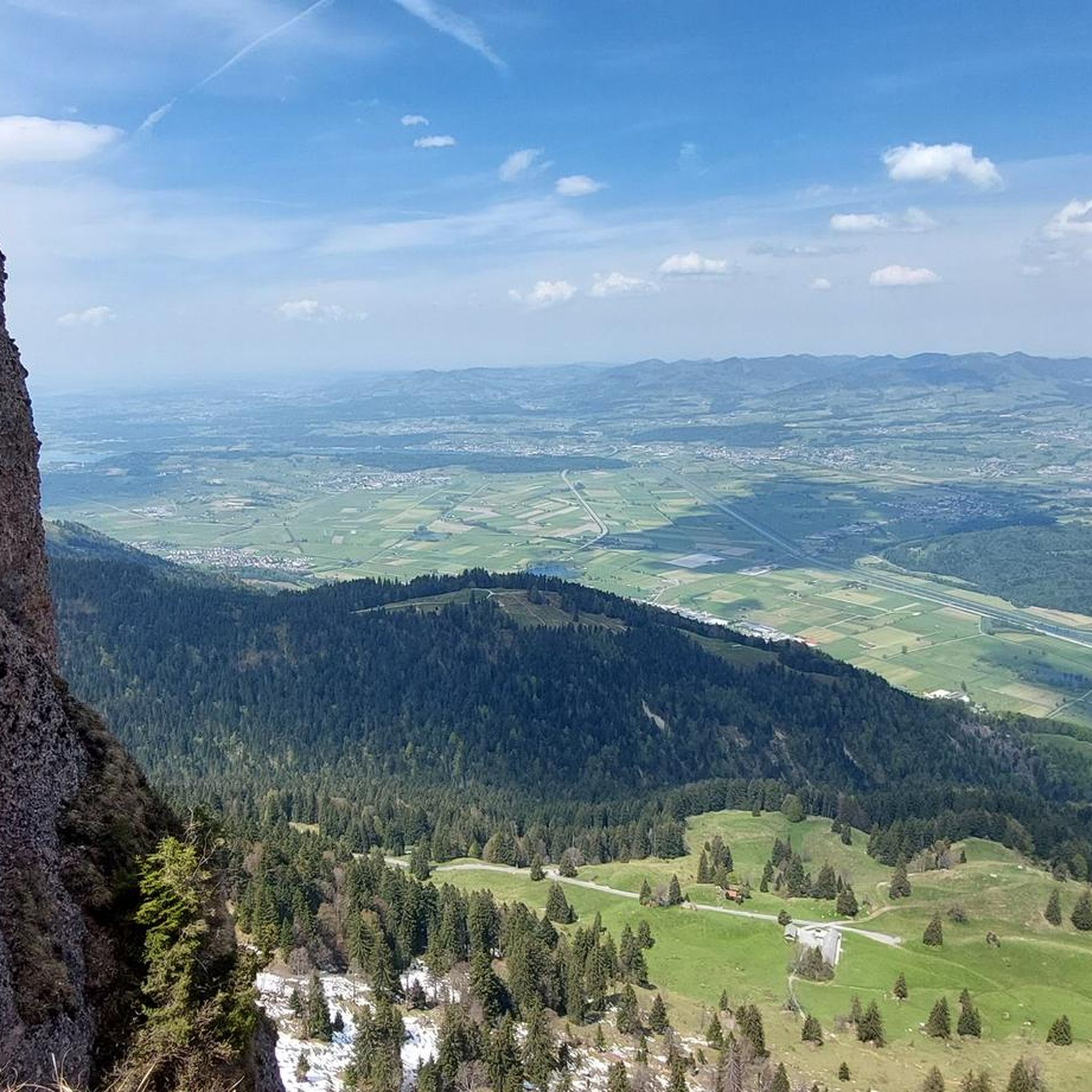
Hello everyone! My hike today from Büelen via Fridlispitz to Riseten and back began at the paid parking lot, where I had to put CHF 6 in cash into an envelope for the entire day and drop it in the mailbox, fill out the enclosed yellow slip, and place it visibly behind the windshield. (Important: Payment is cash only.) After only about a kilometer, however, we were surprised by four livestock guardian dogs that suddenly charged at us at full speed. This forced us to adjust our route by about 300 meters, gain altitude quickly, and walk through the forest. Although I had seen on SwitzerlandMobility the day before that a small section of the trail led through an area with active livestock guardian dogs, I assumed, based on the time of year and after receiving confirmation by phone from Glarus Tourism, that the sheep and cows would have already been down in the valley. Unfortunately, this was incorrect information. I know that livestock guardian dogs are simply doing their job and usually don't do anything, but when four of them are running towards you, you react instinctively. After this incident, we decided to take a course next year—it was actually planned for this year—that teaches you how to behave correctly and proceed when crossing an area with livestock guardian dogs. I'm aware that there are countless videos online, but a course with real livestock guardian dogs is something completely different and provides a much greater sense of security. Such courses are offered by organizations like the Lucerne Hiking Trails Association. If anyone on Komoot knows of a person or organization that offers other such courses, I would be very grateful for a recommendation. Thank you! Despite everything, this tour was truly fantastic: The view down to Lake Walen is simply breathtaking, and the distance opens up to an impressive panorama with countless mountains. Today we had very strong winds and Saharan dust in the air, but the beauty of the route remained undiminished. Officially, the tour is classified as T4, primarily due to the ascent to the Riseten summit, which requires some scrambling. Interestingly, I didn't see a single white-blue-white trail marker anywhere along the way, only white-red-white markings. Personally, I would rate this mountain tour as a T3 overall, even though the lower section is more like a T2. However, it's crucial to note: good physical condition, sure-footedness, a good sense of direction, a head for heights, and alpine experience are absolutely essential. Interestingly, I didn't see a single white-blue-white trail marker anywhere along the way, but only white-red-white markings. Here's the video, part 1: https://www.relive.com/de/view/v26MzX1923q Here's the video, part 2: (Coming soon) Highlights: - A very beautiful mountain hike - Pure nature - Fantastic views of the Alps and Lake Walen Lowlights: - Very narrow road to the parking lot (only one car fits) - Encounter with livestock guardian dogs - Saharan dust - Very strong wind (unpleasant) Equipment: Standard mountaineering gear For your information: Strenuous mountain hike Difficulty level: T3 (mountain hiking) I wish you all the best and happy hiking!
0
0


The view of the lake is stunning.✨
2
0

It's wonderfully quiet here, except when the cattle are here... A comfortable gravel road leads up to here.
0
0
In spring 2025, the house was renovated and is finally open again! The kitchen is wonderful again; normally closed Mondays and Tuesdays.
1
0
Frequently Asked Questions
What is the general difficulty level of mountaineering routes around Niederurnen?
Mountaineering around Niederurnen is primarily characterized by challenging routes. Out of 52 available tours, 46 are rated as difficult, 5 as moderate, and only 1 as easy. This region is best suited for experienced mountaineers seeking significant elevation gains and alpine terrain.
Are there any circular mountaineering routes in the Niederurnen area?
Yes, several routes are circular, allowing you to start and end at the same point. For example, the Obersee (Glarus) loop from Rautispitz is a popular circular option, offering views of Obersee and surrounding alpine scenery. Another is the Hirzli Summit Panorama – View from Planggenstock Summit loop from Morgenholz.
What kind of views can I expect on the mountaineering routes near Niederurnen?
The routes around Niederurnen offer extensive panoramic views, especially from summits like Hirzli and Planggenstock. You'll experience diverse landscapes, transitioning from forested lower slopes to exposed rocky ridges and high-altitude terrain, often with stunning vistas of alpine peaks and deep valleys.
Are there any family-friendly mountaineering options in Niederurnen?
While most mountaineering routes in Niederurnen are rated as difficult, there are a few less demanding options. Out of 52 tours, 5 are moderate and 1 is easy. For families, it's advisable to carefully check the route details, especially distance and elevation gain, to ensure it matches the group's experience level.
What are some notable natural attractions or landmarks along the mountaineering routes?
The region boasts several beautiful natural attractions. You might encounter stunning lakes like Klöntalersee or Talalpsee. The Seerenbach Falls are also a significant natural monument in the vicinity. Many routes also lead to prominent summits like Federispitz, offering expansive views.
How many mountaineering routes are available in the Niederurnen area?
There are over 50 mountaineering routes available around Niederurnen, providing a wide range of options for exploring the Glarus region's alpine peaks and varied high-altitude terrain.
What do other mountaineers say about the routes in Niederurnen?
The mountaineering routes in Niederurnen are highly regarded by the komoot community, with an impressive average rating of 4.8 stars from over 70 reviews. More than 600 mountaineers have used komoot to explore this varied terrain, often praising the challenging ascents and panoramic summit views.
What is the best time of year for mountaineering in Niederurnen?
The best time for mountaineering in the Niederurnen area, given its alpine characteristics, is typically during the warmer months, from late spring through early autumn (June to September). During this period, trails are generally free of snow, and weather conditions are more stable, though alpine weather can change rapidly.
Are there any routes that offer a significant challenge for advanced mountaineers?
Absolutely. The majority of routes in Niederurnen are rated as difficult, making them ideal for advanced mountaineers. For instance, the Dürren / Vorder Ahornen – Tierberg (1,989 m) loop from Obersee involves substantial elevation gain and covers over 10 km, providing a demanding experience.
Can I access the mountaineering routes using public transport?
While specific public transport connections to every trailhead are not detailed, Switzerland generally has an excellent public transport network. Many trailheads, especially those in valleys or near villages, are often accessible by bus or train. It's recommended to check local transport schedules for connections to your chosen starting point, such as Niederurnen itself or nearby communities like Morgenholz.
Are there opportunities for refreshments or cafes near the mountaineering routes?
While the high alpine routes themselves might not have direct cafes, many mountaineering tours in Switzerland pass by or start near mountain huts (Hütten) or small villages where you can find refreshments. It's always a good idea to research your specific route for any available stops or plan to bring sufficient supplies.
What is a good example of a long-distance mountaineering route in the area?
For a longer, more extensive mountaineering experience, consider the Hirzli Summit Panorama – View from Planggenstock Summit loop from Niederurnen. This route spans over 15 km and involves significant elevation, typically taking around 7 hours to complete, offering a full day's adventure.
Is there a route that offers a good balance of distance and elevation for a challenging day trip?
The Wageten Summit (1,755 m) – Brüggler Ridge loop from Matt is an excellent choice for a challenging day trip. It covers over 13 km with nearly 800 meters of elevation gain, providing a substantial workout and rewarding views.
Most popular routes around Niederurnen
Most popular attractions around Niederurnen

Get inspired with the komoot mobile app


Explore more
Browse the best Mountain Hikes & Routes in other regions.
