Top 14 Mountain Passes around Soulom
Best mountain passes near Soulom are situated in the French Pyrenees, a region characterized by its mountainous terrain and significant elevation changes. This area serves as a gateway to numerous high-altitude routes, offering diverse landscapes from deep valleys to prominent peaks. Soulom itself is a village positioned to access these challenging and scenic mountain passes. The natural landscape is defined by its rugged beauty, making it a notable location for outdoor activities.
Best mountain passes around Soulom
- The most popular…
Last updated: June 26, 2026
Luz-Ardiden
Highlight • Viewpoint
Translated by Google •
Tip by

Ascent of the Col de Tentes from Luz-Saint-Sauveur via the Cirque de Gavarnie
Highlight (Segment) • Mountain Pass
Translated by Google •
Tip by

Sign up now to discover places like this
Get recommendations on the best single tracks, peaks, & plenty of other exciting outdoor places.
Sign up for free
Col des Bordères (1156 m)
Highlight • Mountain Pass
This pass will also …
Translated by Google •
Tip by

Ascent of Col du Tourmalet from Luz-Saint-Sauveur via Super Barèges
Highlight (Segment) • Climb
Translated by Google •
Tip by

Riou Pass
Highlight • Mountain Pass
Tour to the highlight: komoot.de/tour/340539708?ref=itd
Translated by Google •
Tip by

Sign up for free to discover even more mountain passes around Soulom.
Sign up for free
Already have an account?
Start today with a free account
Your next adventure awaits.
Login or Signup
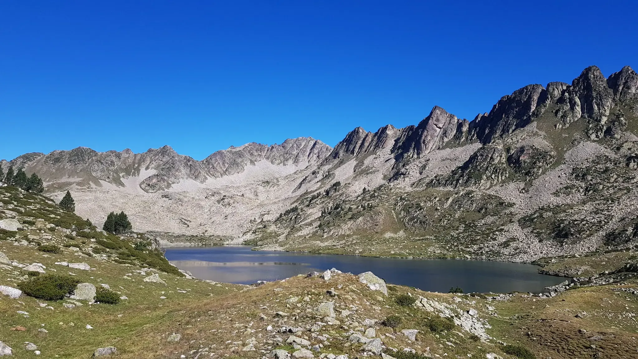
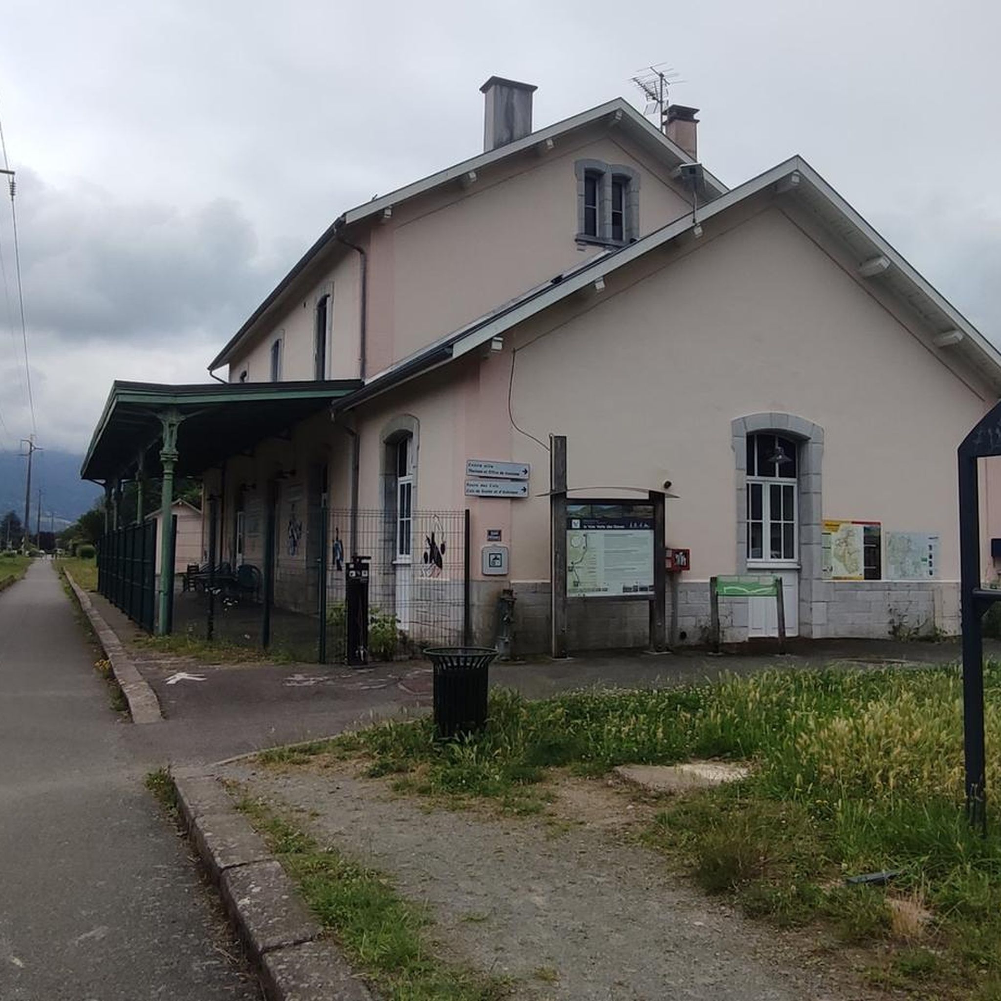
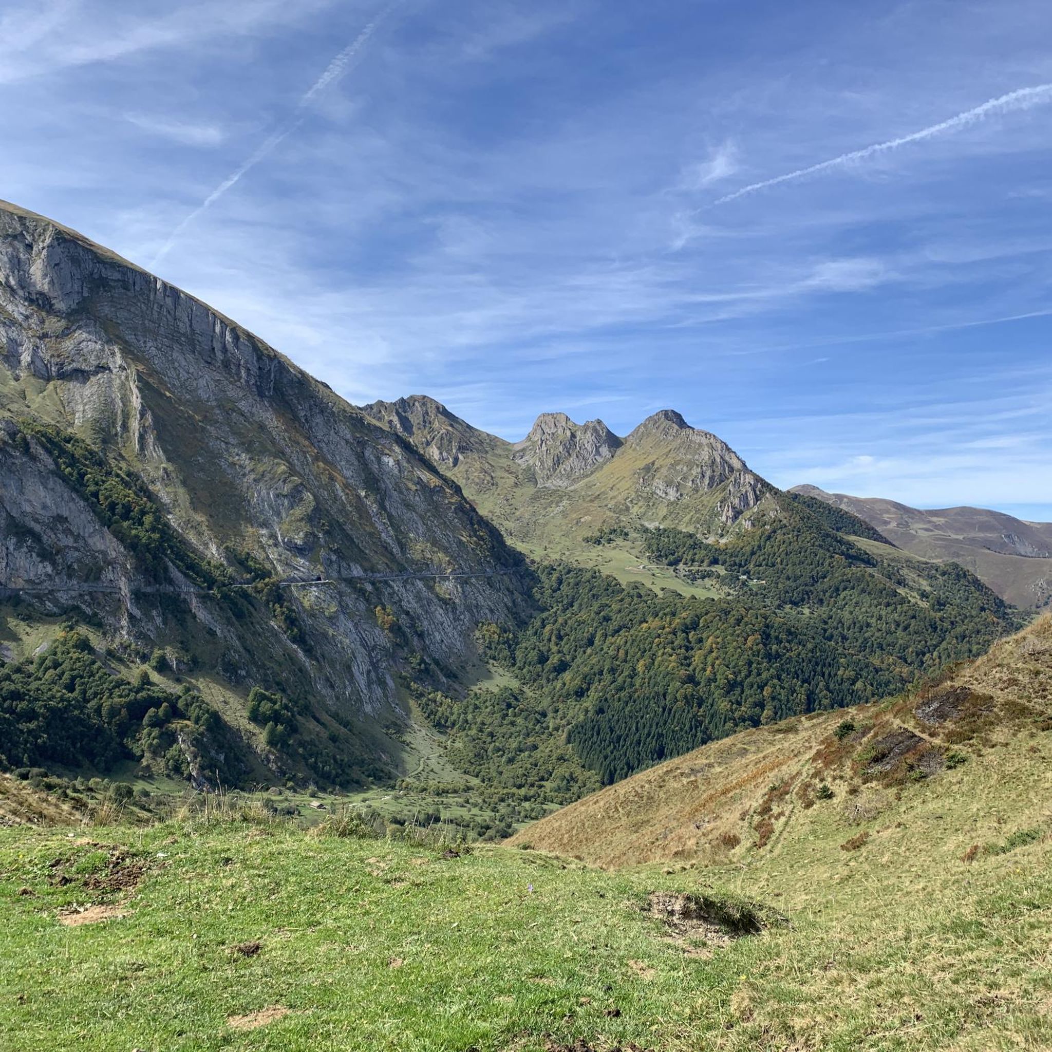
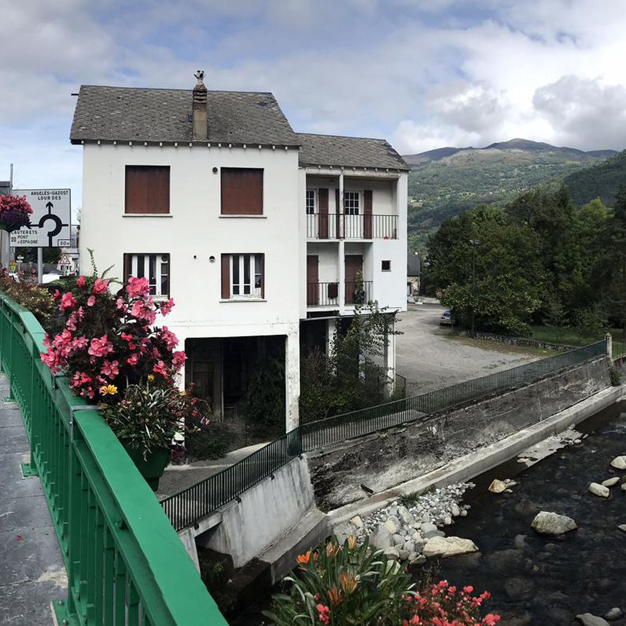
Other adventures around Soulom

Tips from the Community

A very nice climb. Be careful because there's a steep section. Check the altitude.
0
0

A beautiful, quiet pass. Easily accessible by mountain bike from Bederet. The trail from here to Cauterets is a dream. A must-do if you're in the area!
0
0

For the first 20 kilometers, the climb is gentle, crossing the picturesque landscapes of the Gavarnie cirque. Then once you reach the town of Gavarnie, the real climb begins, with much steeper gradients that can exceed 10%, reaching an altitude of 2,200 meters.
1
0

Very worth seeing, you have to see it
0
1

a r z e Z we E 2.z eee ze ESeew s3 zeBBC un 😚🥒🇸🇸 r Zheng MR of E and .zevgr enxdW Rex E. An Z
0
2

The 19km to Gavarnie are easy and on foot, 705 meters in altitude. The next 10 kilometers are tough and grueling with about 830 meters of elevation gain. Moreover, you go above 2000m, which also makes it more difficult.
0
0

29.9 km of ascent with a gradient of 1,524 m and an average slope of 5%. It is one of the hardest climbs in the Pyrenees, especially due to its length and the hardness of its last 10 km, once you have passed the town of Gavarnie. The first 19 km, from the Luz exit to the town of Gavarnie, are very gentle, with flat and rest areas. You cross the village of Gèdre, from where the road leading to the Cirque de Troumouse starts. The road is in perfect condition and is wide. The only drawback is the traffic of motorcycles and motorhomes in summer. The last 10 km, the hardest, come after passing the town of Gavarnie. After a short break the average slope is 8.5%, with long areas maintained at 10%. It is a colossus in every rule. I recommend taking photos at its summit and, if possible, walking along the road in terrible condition until you reach Port de Boucharo, a mountain pass on the border between Spain and France.
0
0
It is a beautiful port, very quiet, with a narrow and irregular road that drives very well. Both aspects are worth it, although they are very different. I like the east side better. It is a perfect alternative to climb the Col de Soulor, avoiding the busy passage through Argelès and the first part of the climb to Soulor.
0
0
Frequently Asked Questions
What are the most popular mountain passes around Soulom?
Some of the most popular mountain passes near Soulom include Luz-Ardiden, known for its challenging climb and many switchbacks, and the Ascent of Col du Tourmalet from Luz-Saint-Sauveur via Super Barèges, recognized for its scenic western ascent. Another favorite is Col des Bordères (1156 m), which offers views of the high Pyrenean mountains.
Are there challenging mountain passes for experienced cyclists or hikers near Soulom?
Yes, Soulom is known for its challenging climbs. The Ascent of the Col de Tentes from Luz-Saint-Sauveur via the Cirque de Gavarnie is a particularly demanding route, with steep gradients exceeding 10% in its latter sections. Similarly, Col du Tourmalet presents a significant challenge with its 18 km ascent and substantial elevation gain.
What kind of views can I expect from the mountain passes around Soulom?
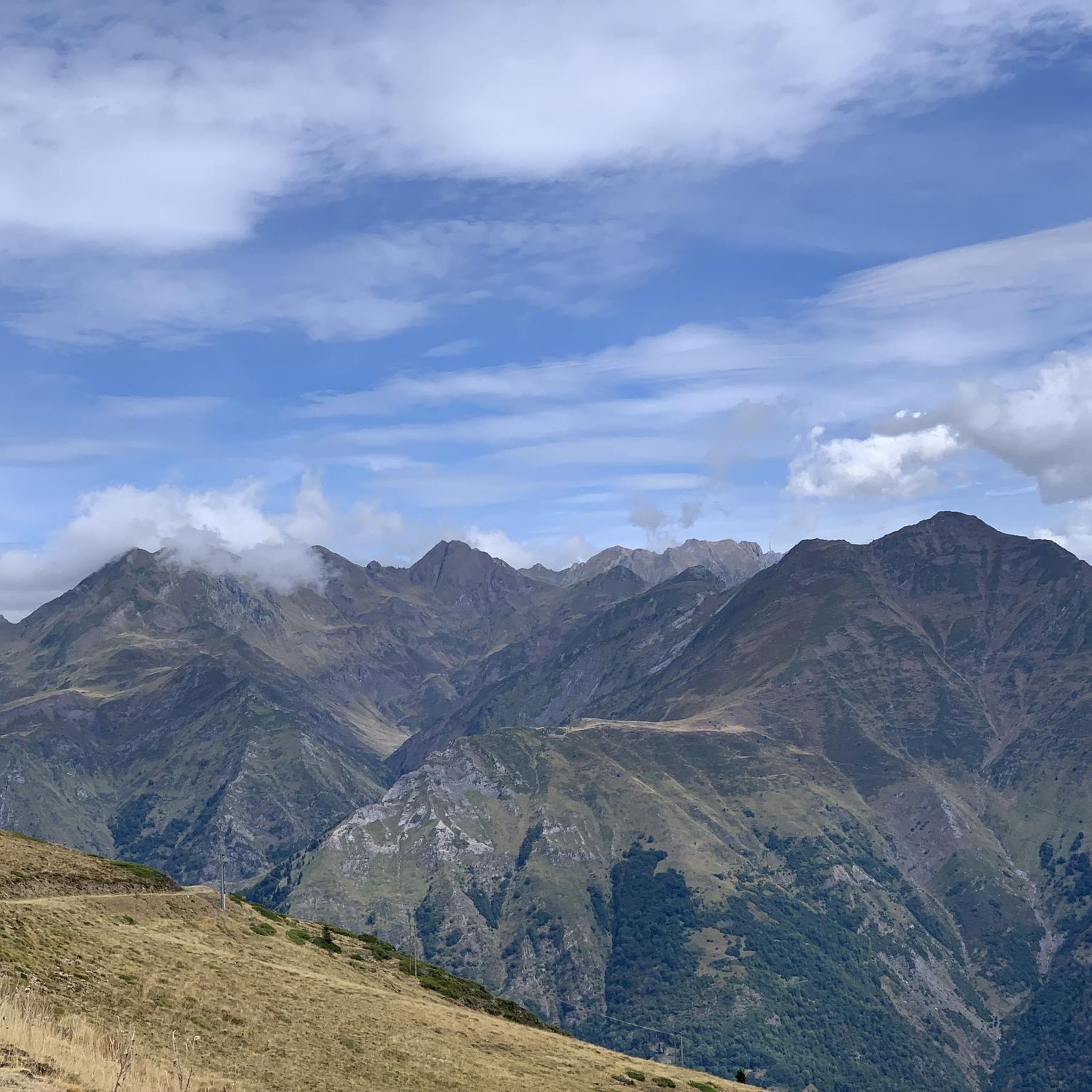
The mountain passes around Soulom offer expansive and breathtaking views of the Pyrenean landscape. From Luz-Ardiden, you can enjoy increasingly vertiginous views as you ascend. The Col des Bordères provides excellent vantage points for observing the high mountains and snow-capped peaks. The Riou Pass offers a superb double view of the Luz-Saint-Sauveur and Cauterets valleys.
Are there intermediate mountain pass trails suitable for those with some experience?
Absolutely. The region around Soulom offers a variety of intermediate mountain pass trails. The Col des Bordères (1156 m) is considered an intermediate mountain pass, though it does feature a steep section. The Riou Pass is also an intermediate option, providing a direct connection between Cauterets and Luz-St-Sauveur.
What outdoor activities can I do near the mountain passes in Soulom?
Beyond exploring the passes themselves, the Soulom area is excellent for various outdoor activities. You can find numerous cycling routes, including challenging loops like the "Argelès-Gazost Station – Soulor Pass loop from Pierrefitte-Nestalas." For hikers, there are trails ranging from easy to difficult, such as the "Lake Isaby – Hautacam circus loop from Villelongue." Running enthusiasts can also enjoy routes like the "Stage 3: Soulom to Luz-Saint-Sauveur — Grand Raid des Pyrénées." You can find more details on these activities in the cycling, hiking, and running guides for Soulom.
Are there specific hiking trails near the mountain passes around Soulom?
Yes, many mountain passes are integral to hiking routes. For example, the Riou Pass is part of the GR10, connecting Cauterets to Luz-St-Sauveur. You can explore various hiking trails around Soulom, including moderate options like the "Chapelle de Pouyaspė – Old wash house with fountain loop from Pierrefitte-Nestalas," or more difficult ones such as the "Soulom – Camasque Stream loop from Pierrefitte-Nestalas." More hiking options are available in the hiking guide for Soulom.
What do visitors enjoy most about the mountain passes near Soulom?
Visitors frequently praise the stunning natural beauty and the sense of accomplishment from tackling the challenging climbs. The many switchbacks and expansive views from passes like Luz-Ardiden are often highlighted. The quiet, scenic roads and the panoramic vistas of the high Pyrenees from passes such as Col des Bordères are also highly appreciated.
What is the best time of year to visit the mountain passes near Soulom?
The best time to visit the mountain passes around Soulom for cycling and hiking is generally from late spring to early autumn (May to October) when the passes are clear of snow and the weather is most favorable. Some higher passes may open later in the season. Always check local conditions before planning your trip, especially for high-altitude routes.
Are there any less-known or 'hidden gem' mountain passes worth exploring near Soulom?
While the main passes are well-known, exploring routes that incorporate passes like Col des Bordères (1156 m) can offer a quieter experience. It's described as a very quiet port with a beautiful, albeit narrow and irregular, road, providing a perfect alternative to busier routes and offering great views of the high Pyrenees.
What should I wear when hiking or cycling the mountain passes in Soulom?
Given the significant elevation changes and the mountainous terrain, it's advisable to dress in layers. Even in summer, temperatures can drop at higher altitudes. Bring waterproof and windproof outer layers, as weather can change rapidly. Sturdy hiking boots are essential for trails, and appropriate cycling gear, including a helmet, is crucial for bike routes.
Are there any circular walks that include mountain passes near Soulom?
Yes, the region offers opportunities for circular walks. While specific circular routes directly over named passes might vary, many hiking trails in the area form loops that incorporate scenic viewpoints and sections of mountain passes. For example, the "Chapel loop from Villelongue" is an easy option, and more challenging circular routes can be found in the hiking guide for Soulom.
Are there any cafes or places to rest near the mountain passes?
While specific cafes directly at the summit of every pass might be rare, many passes are accessible from or lead to villages and towns where you can find amenities. For instance, the Ascent of the Col de Tentes passes through Gavarnie, where you can find facilities. Similarly, Luz-Saint-Sauveur serves as a starting point for several major ascents, offering various services.
Most popular routes around Soulom
Most popular attractions around Soulom

Get inspired with the komoot mobile app


Explore more
See even more epic mountain passes by checking out these guides around Soulom:
