The best mountain hikes around Oberwil im Simmental
4.8
(42)
472
hikers
32
hikes
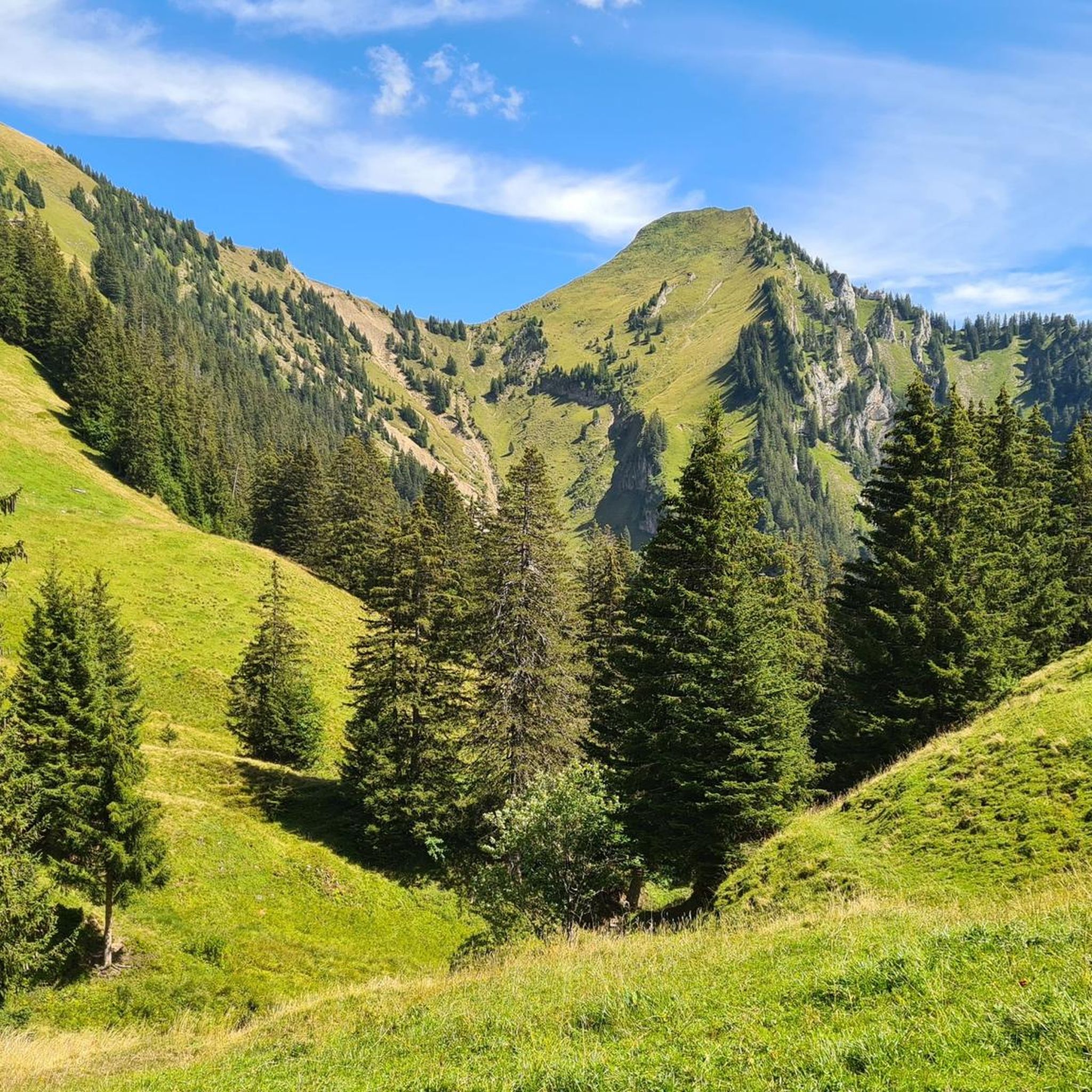
Mountaineering around Oberwil im Simmental, located in the Bernese Oberland, offers diverse terrain for outdoor activities. The region is characterized by its expansive valleys, such as the Simmental, and surrounding mountain ranges. Notable peaks like Gantrisch, Wildhorn, and Wildstrubel provide varied challenges, from high-altitude hikes to demanding alpine crossings.
Best mountaineering routes around Oberwil im Simmental
- The most popular mountaineering route is Chumlihütte – Morgetegrat loop from Gurnigelpass, a 5.7 miles (9.2 km) trail that takes 3 hours 50…
Last updated: October 9, 2026
4.9
(14)
83
hikers
9.22km
03:52
540m
540m
Hard mountaineering route. Good fitness required. Sure-footedness, sturdy shoes and alpine experience required.
5.0
(5)
95
hikers
6.60km
03:27
510m
510m
Hard mountaineering route. Good fitness required. Sure-footedness, sturdy shoes and alpine experience required.

35
hikers
8.42km
03:50
610m
610m
Moderate mountaineering route. Good fitness required. Mostly accessible paths. Sure-footedness required.
5.0
(1)
15
hikers
13.6km
05:27
710m
710m
Hard mountaineering route. Very good fitness required. Sure-footedness, sturdy shoes and alpine experience required.
5.0
(1)
11
hikers
10.7km
04:52
720m
720m
Hard mountaineering route. Good fitness required. Sure-footedness, sturdy shoes and alpine experience required.
Get access to more routes and recommendations from other explorers.
Already have an account?
Our route recommendations are based on thousands of hikes, rides, and runs completed by other people on komoot.
Start today with a free account
Your next adventure awaits.
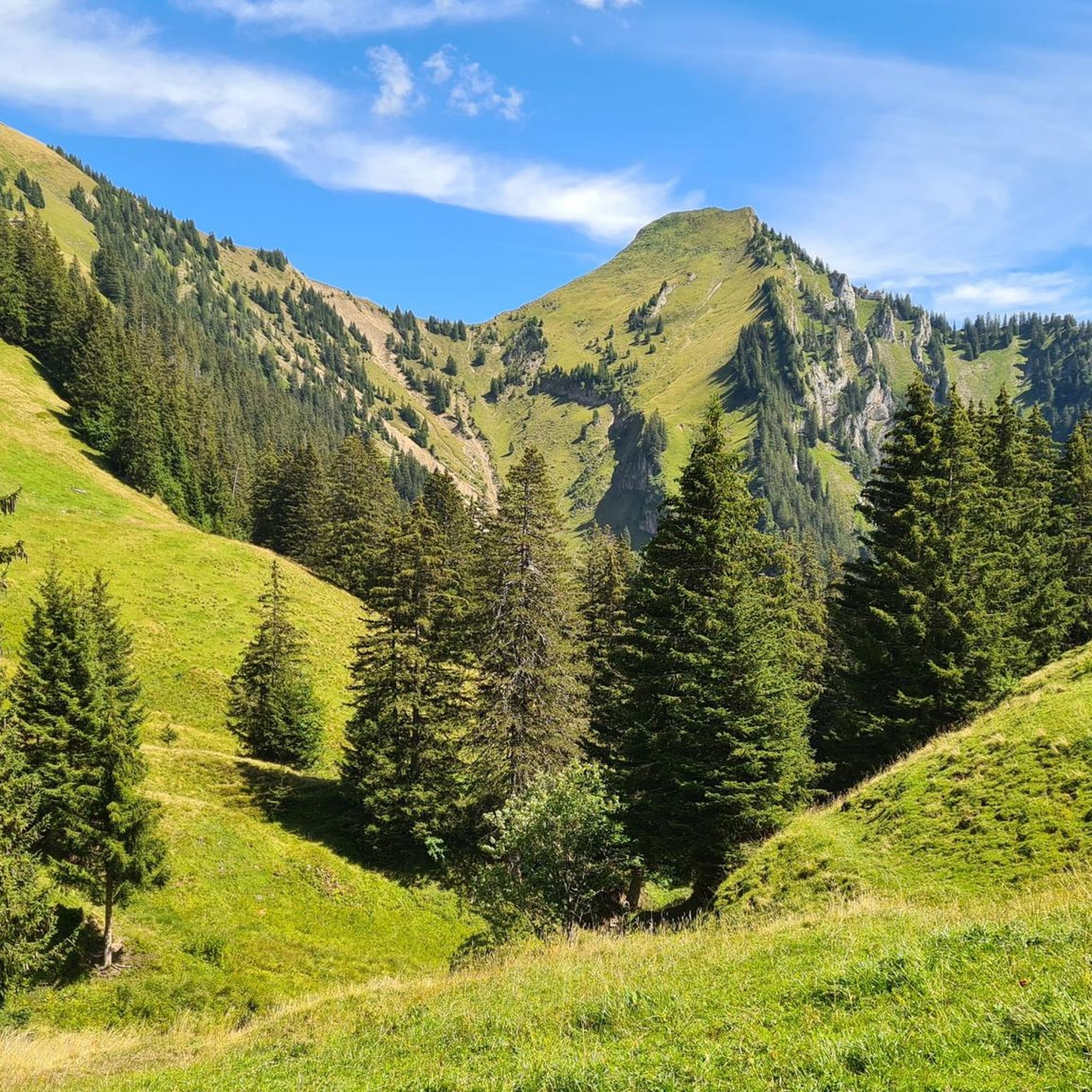
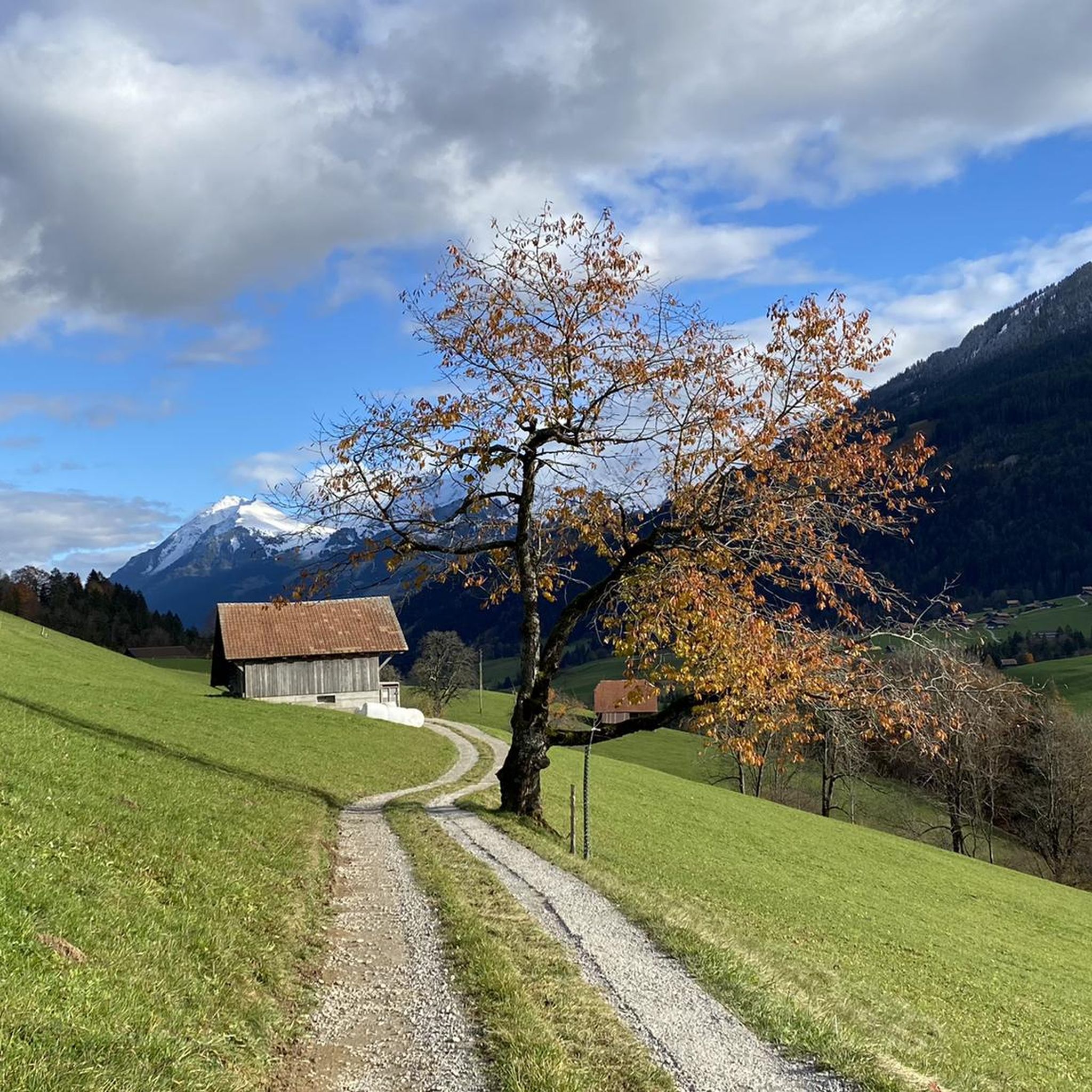
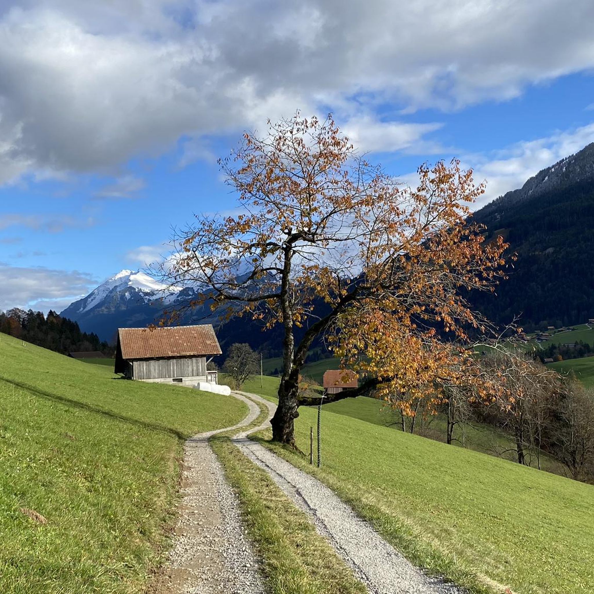
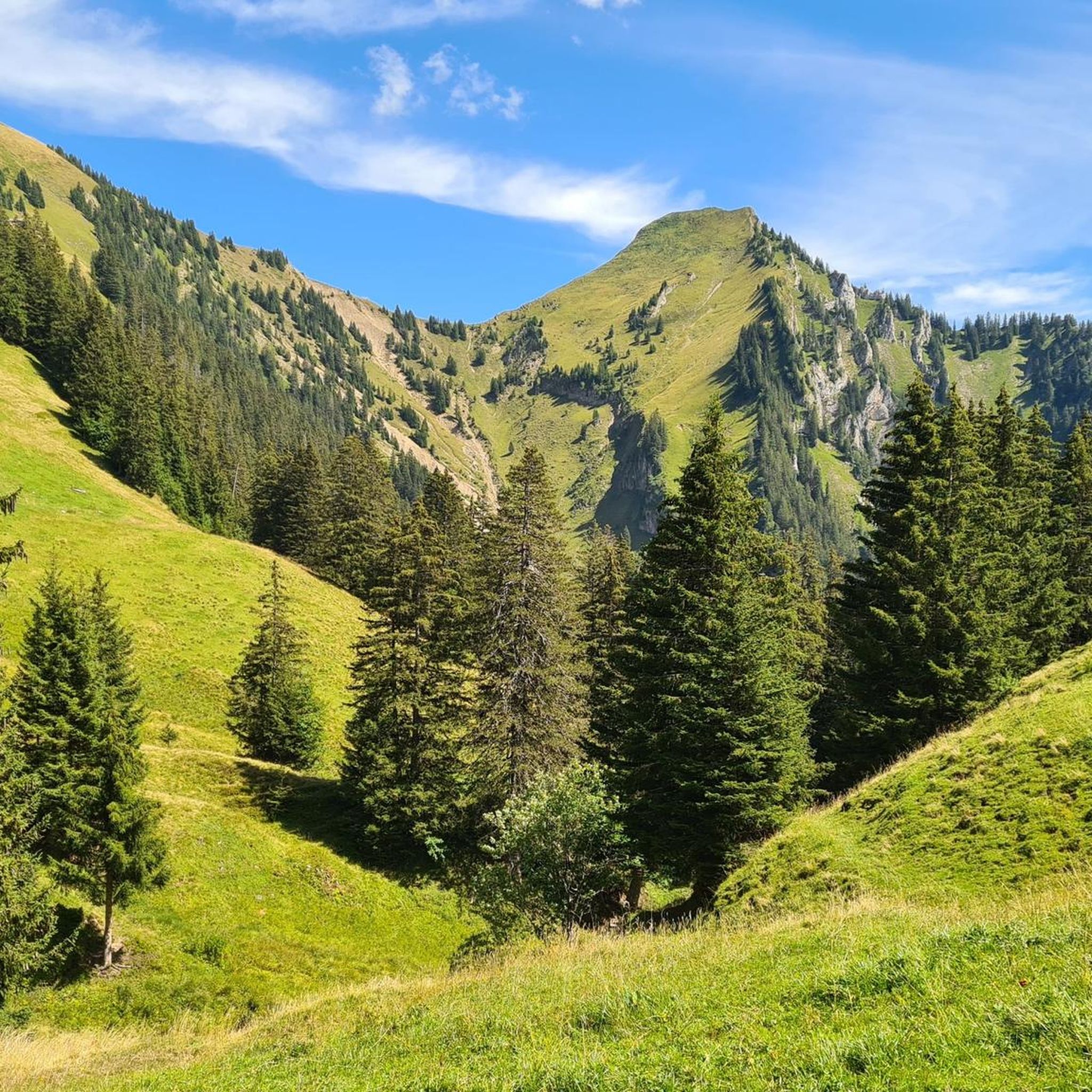

Tips from the Community

The panorama is magnificent. Despite the foothills of the Alps, you feel like you're on top of the world, especially above the sea of fog.
0
0

The rock formations tower impressively over the land and you are simply proud to sit up there and look down
0
0


Is there a better souvenir than cheese from the Alp?
0
1
It's always nice to cross passes that offer new vistas and allow you to step from one world into another. The Leitere Pass is one of those. Coming from Stockhort, you've got the last few meters of the tour to Gurnigel ahead of you, and you can perhaps look forward to a glass of milk or a cheese at Nünenealp. Or you're on your way toward Stockhorn and see the varied trail via Hohmad, Chatz & Mus, and Walalp for the first time. Yes, it is a beautiful place.
1
0

The Leiternpass is located between these two peaks.
8
2

A very worthwhile summit with a great view that you have to work hard to reach... there is also a climbing route that leads up here... but because of the amazing view you are rarely alone
1
0
Frequently Asked Questions
How many mountaineering routes are available around Oberwil im Simmental?
There are over 30 mountaineering routes around Oberwil im Simmental, offering a wide range of experiences. You'll find 1 easy, 11 moderate, and 24 difficult trails, catering to various skill levels.
Are there any circular mountaineering routes in the area?
Yes, Oberwil im Simmental offers several circular mountaineering routes. For example, the Chumlihütte – Morgetegrat loop from Gurnigelpass is a challenging 9.2 km route that takes about 3 hours 50 minutes, traversing alpine ridges. Another option is the moderate Chumlihütte – Gantrischseeli loop from Gantrisch, which is 8.6 km long and leads through varied mountain landscapes, including the Gantrischseeli lake.
What kind of natural features can I expect to see on these mountaineering routes?
The region is known for its impressive natural beauty. You'll encounter expansive valleys like the Simmental, often called the 'greenest valley,' and high alpine peaks such as Gantrisch, Wildhorn, and Wildstrubel. The routes also feature traditional wooden houses, lush landscapes, and sometimes even sections near glaciers like the Plaine Morte under Wildstrubel.
Are there any interesting landmarks or attractions along the mountaineering trails?
Yes, several routes offer access to notable landmarks. You might pass by beautiful mountain lakes such as Gantrischseeli or Hinterstockensee. The area also features fascinating caves like Zwergliloch Cave, which hint at prehistoric human presence. Some trails might even lead you near the Grydelek Waterfall or the Leiternweide suspension bridge.
What is the best time of year for mountaineering in Oberwil im Simmental?
The best time for mountaineering typically spans from late spring to early autumn when trails are clear of snow and weather conditions are more stable. However, Oberwil im Simmental is a versatile destination; in winter, the region transforms, offering opportunities for skiing, cross-country skiing, and snowshoeing on well-prepared trails.
Are there any family-friendly mountaineering options?
While many mountaineering routes in Oberwil im Simmental are classified as moderate to difficult, there is at least one easy route available. For families, it's advisable to check the difficulty and elevation gain of specific routes. The region's diverse landscape also offers easier hiking trails that might be more suitable for younger adventurers or those seeking a less strenuous experience.
What do other mountaineers say about the routes in Oberwil im Simmental?
The mountaineering routes in Oberwil im Simmental are highly regarded by the komoot community, boasting an average rating of 4.8 stars from over 30 reviews. Mountaineers often praise the diverse terrain, from high alpine peaks to expansive valleys, and the challenging mountain passes that define the experience.
Are there any routes that offer significant elevation gain for a challenging workout?
Absolutely. Many routes in Oberwil im Simmental feature substantial elevation gains. For instance, the Alp Obernünenen – Leiterepass loop from Gurnigelpass is a difficult 10.7 km trail with over 700 meters of elevation gain, typically completed in about 4 hours 50 minutes. Another challenging option is the Alp Obernünenen – Leiterepass loop from Gusteren, a 20.8 km difficult route with over 860 meters of ascent.
Can I find places to eat or stay overnight near the mountaineering trails?
Yes, the region offers various options. For multi-day tours, there are mountain huts and SAC huts providing overnight accommodation. While specific cafes or pubs directly on every trail are not guaranteed, the villages in the Simmental, including Oberwil, offer dining options. The traditional Swiss village atmosphere also means you'll find local establishments to refuel.
Is public transport available to reach the trailheads?
Oberwil im Simmental is generally well-connected within the Bernese Oberland. While specific public transport details for every trailhead are not provided here, the region is known for its accessibility. It's advisable to check local bus and train schedules to plan your approach to specific starting points for your mountaineering tours.
Are there any moderate mountaineering routes suitable for those looking for a balanced challenge?
Certainly. If you're seeking a balanced challenge, the Chumlihütte loop from Gantrisch is a moderate 6 km route with over 425 meters of elevation gain, taking approximately 2 hours 27 minutes. This route provides a good mix of effort and scenic rewards without the extreme demands of the most difficult trails.
Most popular routes around Oberwil im Simmental
Most popular attractions around Oberwil im Simmental

Get inspired with the komoot mobile app


Explore more
Browse the best Mountain Hikes & Routes in other regions.
