The best mountain hikes around Frutigen
4.7
(58)
501
hikers
32
hikes
Mountaineering routes around Frutigen are situated in the Bernese Oberland, characterized by a diverse alpine landscape. The region features prominent peaks such as Niesen, Männliflue, Elsighorn, and First, offering varied terrain for ascents. Deep valleys like the Kander and Engstligen valleys, alongside crystal-clear alpine lakes such as Blausee and Lake Oeschinen, define the lower elevations. Rugged gorges, including Choleren Gorge, add to the challenging and varied topography.
Best mountaineering routes around Frutigen
- The most popular mountaineering route is Untere Allme…
Last updated: August 16, 2026
4.7
(9)
76
hikers
7.21km
04:08
620m
620m
Hard mountaineering route. Good fitness required. Sure-footedness, sturdy shoes and alpine experience required.
4.8
(12)
80
hikers
12.9km
04:24
560m
560m
Hard mountaineering route. Good fitness required. Sure-footedness, sturdy shoes and alpine experience required.

Sign up for free
5.0
(1)
38
hikers
9.39km
04:34
630m
630m
Hard mountaineering route. Good fitness required. Sure-footedness, sturdy shoes and alpine experience required.
5.0
(5)
31
hikers
14.1km
07:14
1,260m
1,260m
Hard mountaineering route. Very good fitness required. Sure-footedness, sturdy shoes and alpine experience required.
3.0
(1)
22
hikers
12.6km
07:44
1,310m
1,310m
Hard mountaineering route. Very good fitness required. Sure-footedness, sturdy shoes and alpine experience required.
Get access to more routes and recommendations from other explorers.
Sign up for free
Already have an account?
Our route recommendations are based on thousands of hikes, rides, and runs completed by other people on komoot.
Start today with a free account
Your next adventure awaits.
Login or Signup
Popular around Frutigen
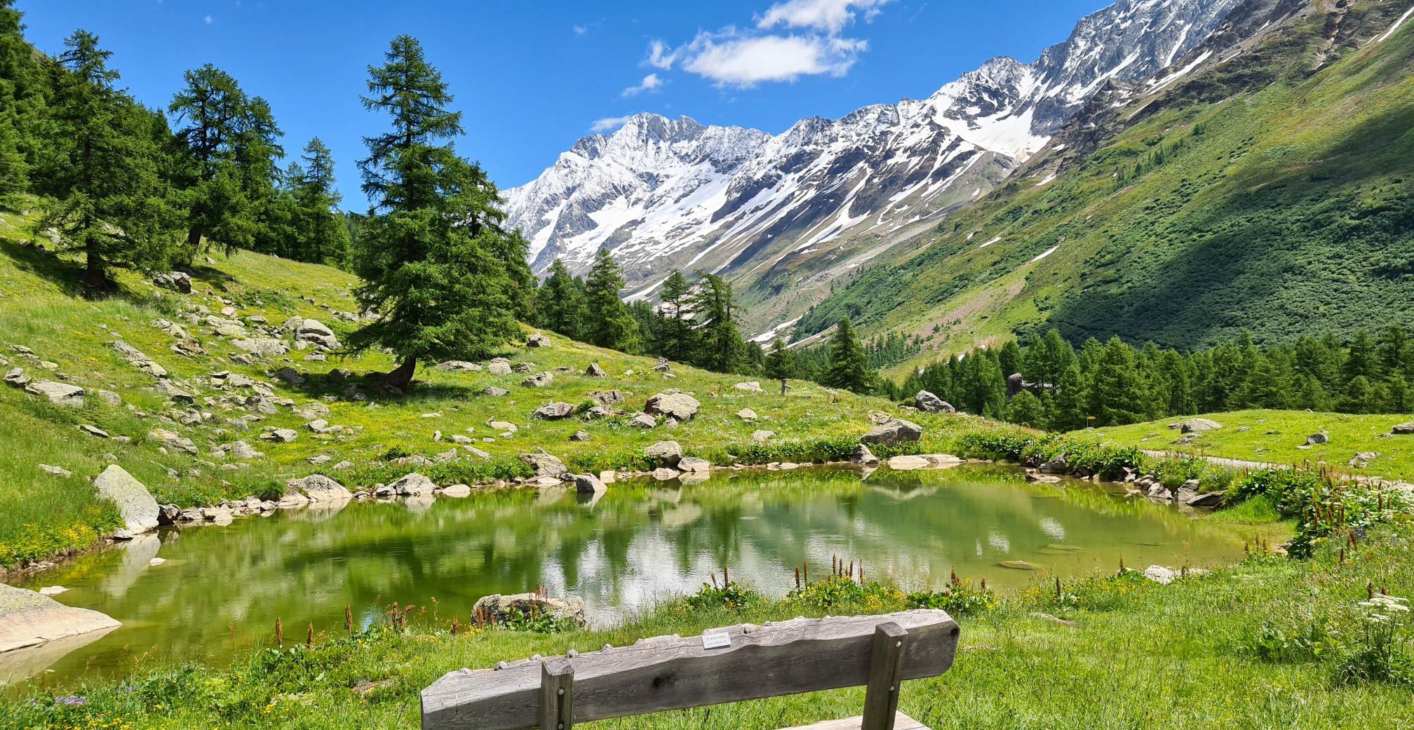
Lötschberg Panorama Trail – 4 days of alpine views in Switzerland
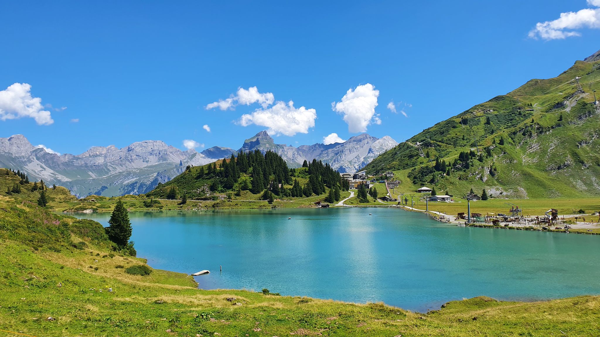
Via Alpina – The 15 stages of the Green Route
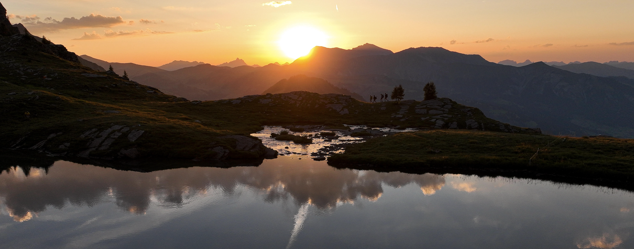
Late Summer: Great Hiking in Adelboden-Lenk-Kandersteg
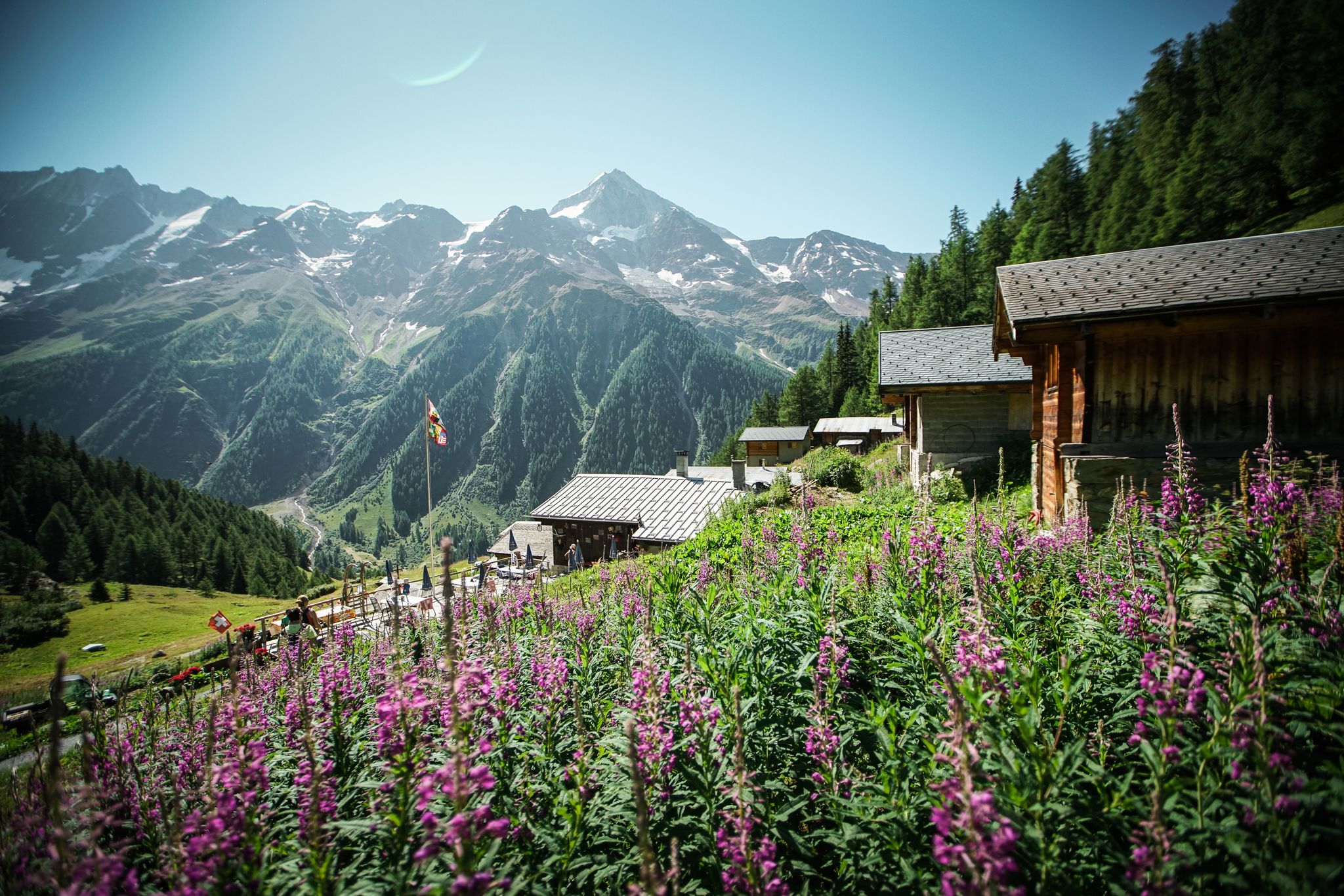
Mountain air, myths and beauty – hiking in the Lötschental
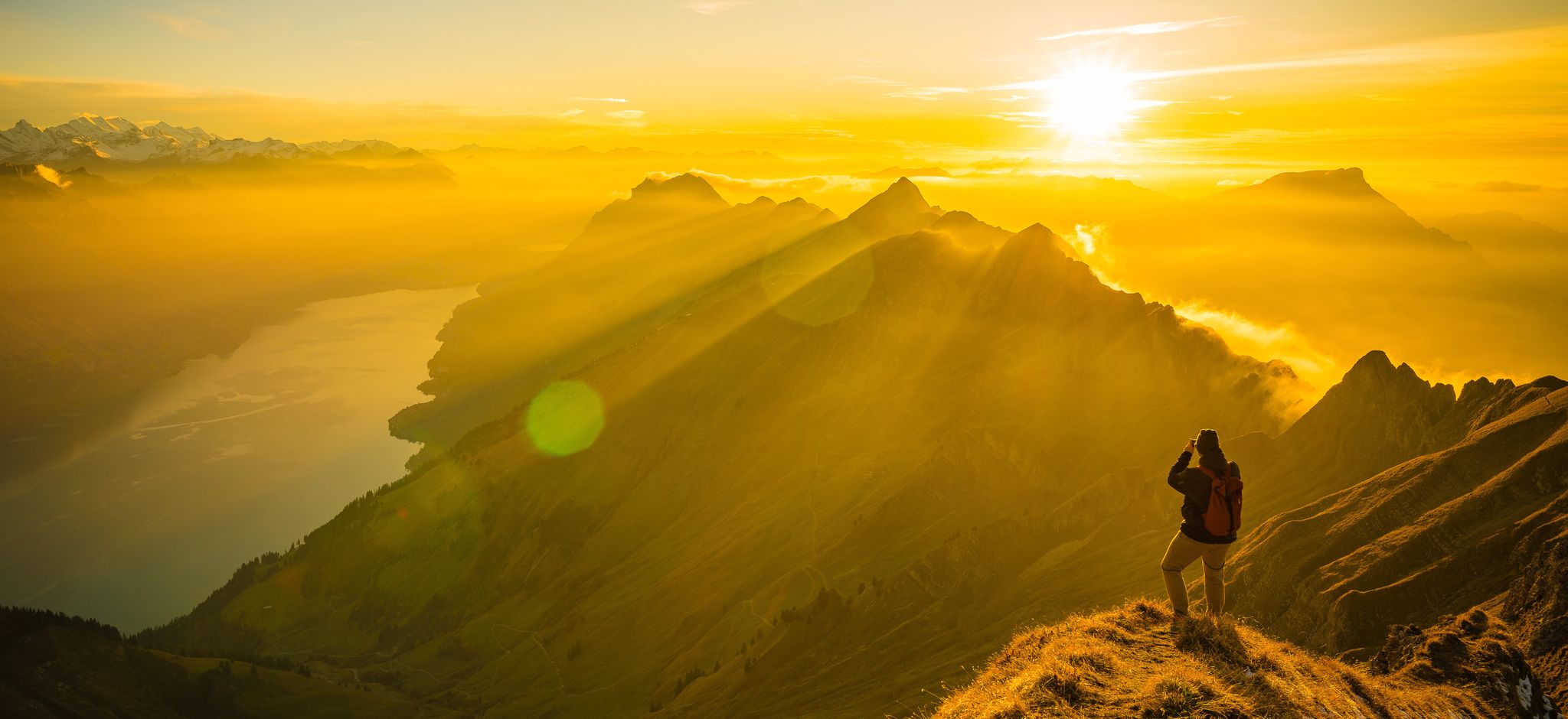
Mighty peaks and turquoise lakes – hiking in Interlaken in Switzerland
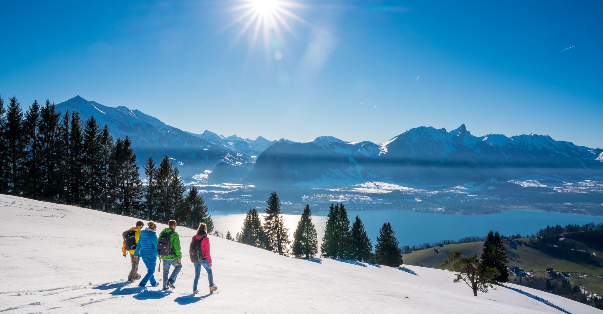
Let it snow! Winter hikes in the Bernese Oberland
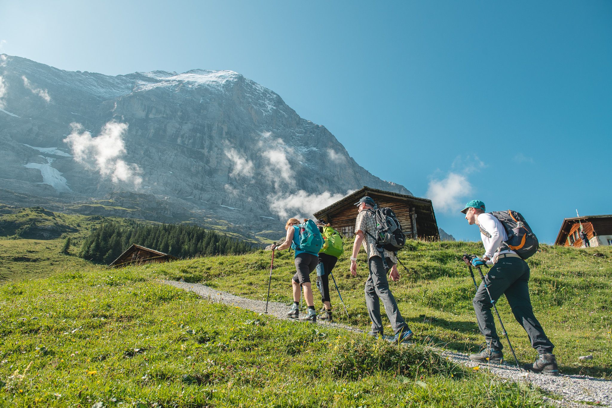
Summit happiness on the Via Alpina - Pioneers in Switzerland
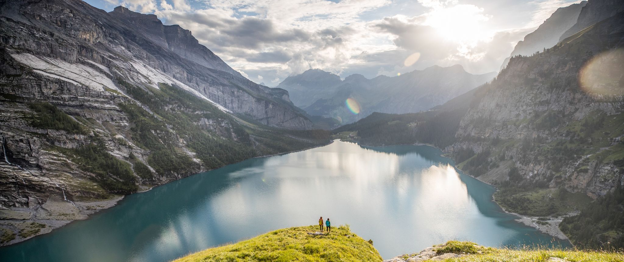
Glittering mountain lakes around Bern – Blogger Hike Challenge 2019
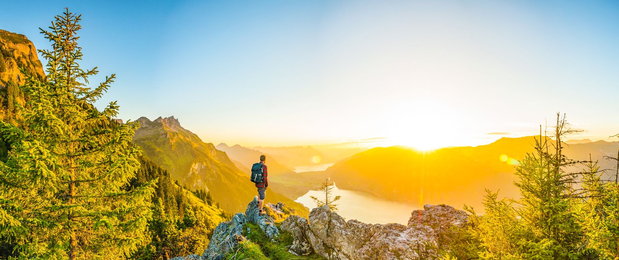
Magnificent Bernese Oberland – Hiking around Interlaken
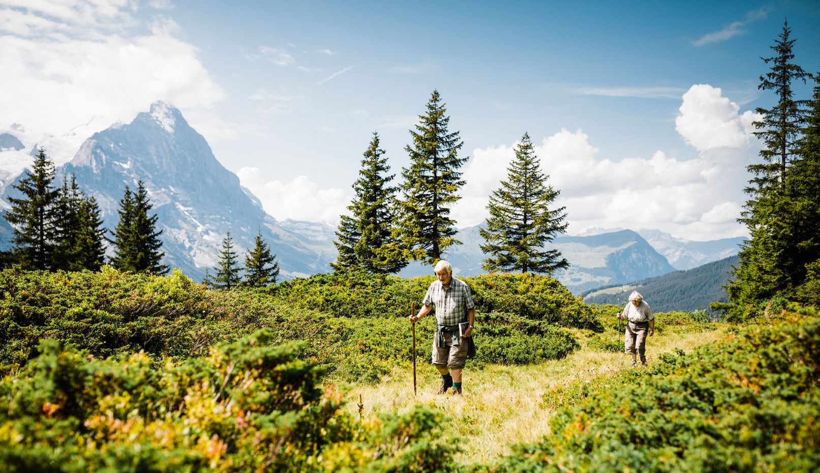
Hiking in Bernese Oberland — where Goethe left his mark
Other adventures around Frutigen


Tips from the Community

very pretty here, very pretty
0
0
very pretty here, very pretty
0
0

Very rewarding via ferrata with numerous gimmicks! https://www.via-ferrata.de/klettersteige/topo/klettersteig-allmenalp
0
0

The small, charming Allmen cable car takes hikers from Kandersteg to lofty heights – completely away from mass tourism. The ride in the historic cabin feels almost like a journey back in time: a gentle whirring sound glides over alpine meadows, rocks, and fir trees, while the valley quickly opens up beneath you. Once at the top, a quiet starting point awaits for scenic mountain hikes away from the main cable cars.
0
0

The Chindbetti Pass (2,627 m above sea level) is an alpine pass between Engstligenalp (Adelboden) and Kandersteg. Profile: ⛰ Location: Connects the Engstligental and Gasterntal valleys 🚶♂️ Difficulty level: Mountain hike T3 – good fitness and surefootedness required 🕒 Time required: From Engstligenalp, approx. 2–2.5 hours From Sunnbüel/Kandersteg via Gasterntal, approx. 3.5–4 hours 🔭 View: Views of Wildstrubel, Tschingellochtighorn, Balmhorn, and the Gasterntal valley 🌸 Best time: July–October (often snowfields in the past) 📌 Special features: Part of the Via Alpina – perfect for combining with a ridge hike or the ascent of the Tschingellochtighorn
1
0
The Tschingellochtighorn is a striking, jagged rocky peak at approximately 2,735 m above sea level in the Bernese Oberland, above the Engstligenalp near Adelboden. It is best known for its impressive "row of teeth" silhouette, which from a distance resembles a castle wall. Highlights & Info: ⛰ Location: Between Engstligenalp and the Chindbetti Pass 🔭 View: Breathtaking views of the Wildstrubel, Engstligental, Lohner, and into the Valais 🚶♂️ Access: Popular mountain hike from the Engstligenalp (approx. 1.5–2 hours ascent) 🧗 Character: The summit itself is only accessible to experienced alpinists (T5–T6), but the hike to the ridge is easier.
0
0
Location: Right next to the mountain station of the Kandersteg-Allmenalp cable car – easily accessible in about a 5-minute drive from Kandersteg and directly accessible without hiking boots. Ambience: Rustic and cozy with a sun terrace and spectacular panoramic views of Kandersteg, Lake Oeschinen, and the surrounding mountains such as Blüemlisalp and Gasterntal. Cuisine: Regional Alpine cuisine with snacks, simple dishes, and homemade alpine cheese – served with the typical hospitality of the Reichen-Grüter host family. Payment: Cash and Twint payments only – please remember! 🧭 This stop is ideal as: A rest stop during a hike to Ueschinenalp, Bunderspitz, or as part of the Via Ferrata-Allmenalp tour, A place for a relaxing break with a view after a strenuous tour, and a meeting point for hikers, paragliders, and climbing enthusiasts. Opening hours high season: mid-May to mid-October, daily operation.
0
1

The "Allmen-Beizli" restaurant on the Allmenalp is the meeting place for hikers, climbers, paragliders and connoisseurs. Located right next to the mountain station, the Beizli is easy to reach. From the sun terrace you have a breathtaking view of the Kandersteg mountains. Let yourself be won over by the Alpine hospitality. All information about the Allmen-Beizli can be found at www.allmen-alp.ch Please note: Payment in the Allmen-Beizli is only possible in cash! https://www.allmenalp.ch/de/erleben/einkehr.html
3
1
Frequently Asked Questions
How many mountaineering routes are available around Frutigen, and what are their difficulty levels?
There are over 35 mountaineering routes around Frutigen. The majority are classified as difficult, with 27 challenging options, and 9 routes considered moderate. There are no easy mountaineering routes listed in this guide.
Are there mountaineering routes around Frutigen that feature waterfalls?
Yes, several routes offer views of impressive waterfalls. For example, the Engstligen Falls – Berghotel Oeschinensee loop from Kandersteg is a moderate trail that provides views of waterfalls and leads towards an alpine lake. The region is also home to notable natural monuments like Staubbach Falls and Simmen Falls.
Can I find mountaineering routes that pass by scenic alpine lakes?
Absolutely. The Frutigen area is known for its stunning alpine lakes. The moderate Engstligen Falls – Berghotel Oeschinensee loop from Kandersteg leads towards Lake Oeschinen, renowned for its emerald-green waters. The serene Blausee Nature Park is also a highlight in the region.
Are there any circular mountaineering routes in the Frutigen area?
Yes, there are several circular routes available. The Untere Allme Trail Sign – Allmen-Beizli loop from Kandersteg is a difficult 7.3 km circular trail. Another option is the Engstligenalp – Berghotel Engstligenalp loop from Unter dem Birg, a 6.4 km difficult route through high alpine terrain. For a more challenging circular experience, consider the Engstligenalp – Ammertespitz Summit Cross loop from Engstligenfälle.
What are some less challenging mountaineering routes for those new to the sport?
While most mountaineering routes around Frutigen are rated difficult, there are 9 moderate options available. These routes offer a good introduction to the alpine environment without the extreme demands of the most difficult ascents. The Engstligen Falls – Berghotel Oeschinensee loop from Kandersteg is a popular moderate choice.
What do other mountaineers enjoy the most about mountaineering in Frutigen?
The mountaineering routes in Frutigen are highly rated by the komoot community, with an average score of 4.7 stars from over 50 reviews. Reviewers often praise the diverse alpine landscape, majestic peaks like Niesen and Elsighorn, and the breathtaking vistas of the Bernese Alps, including distant views of Eiger, Mönch, and Jungfrau.
Are there any dramatic gorges or unique natural features to explore on these routes?
Yes, the region is home to dramatic gorges that add to the varied topography. The wild Choleren Gorge and the Glacial Gorge of Kandersteg feature towering rock formations and rushing currents. The Cholera Gorge is a notable highlight in the area.
What is the best time of year for mountaineering in Frutigen?
The Bernese Oberland, where Frutigen is located, is generally best for mountaineering during the warmer months, typically from late spring to early autumn (June to September). During this period, trails are usually clear of snow, and weather conditions are more stable, offering optimal visibility and safer climbing conditions. Always check local weather forecasts and trail conditions before heading out.
Is public transport available to reach mountaineering trailheads from Frutigen?
Frutigen has good public transport connections, making many alpine areas accessible. For instance, you can use public transport to reach Kandersteg, which serves as a starting point for routes like the Untere Allme Trail Sign – Allmen-Beizli loop. Cable cars like the Elsigenalpbahn also provide access to higher elevations, reducing the initial ascent.
Are dogs allowed on mountaineering trails in Frutigen?
While specific regulations can vary by trail and protected areas, Switzerland generally allows dogs on hiking trails, often requiring them to be on a leash. It's always advisable to check local signage or specific route information for any restrictions, especially in nature reserves or areas with livestock. Ensure your dog is fit for the terrain and carry enough water for both of you.
Are there any particularly long or challenging mountaineering routes for experienced climbers?
For experienced mountaineers seeking a significant challenge, the Engstligenalp – Chindbettipass loop from Unter dem Birg is a difficult 14 km route with over 1200 meters of elevation gain, typically taking over 7 hours to complete. This route offers extensive high alpine terrain for those looking for a demanding ascent.
Most popular routes around Frutigen
Most popular attractions around Frutigen

Get inspired with the komoot mobile app


Explore more
Browse the best Mountain Hikes & Routes in other regions.
