The best running trails around Bonac-Irazein
3.8
(4)
673
runners
41
runs
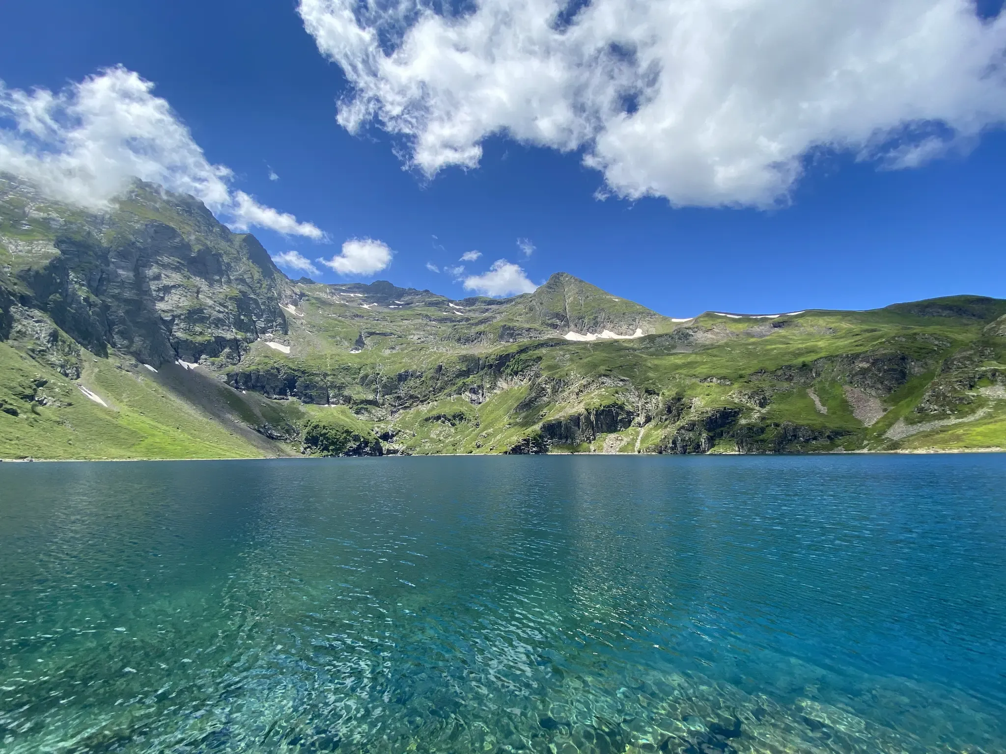
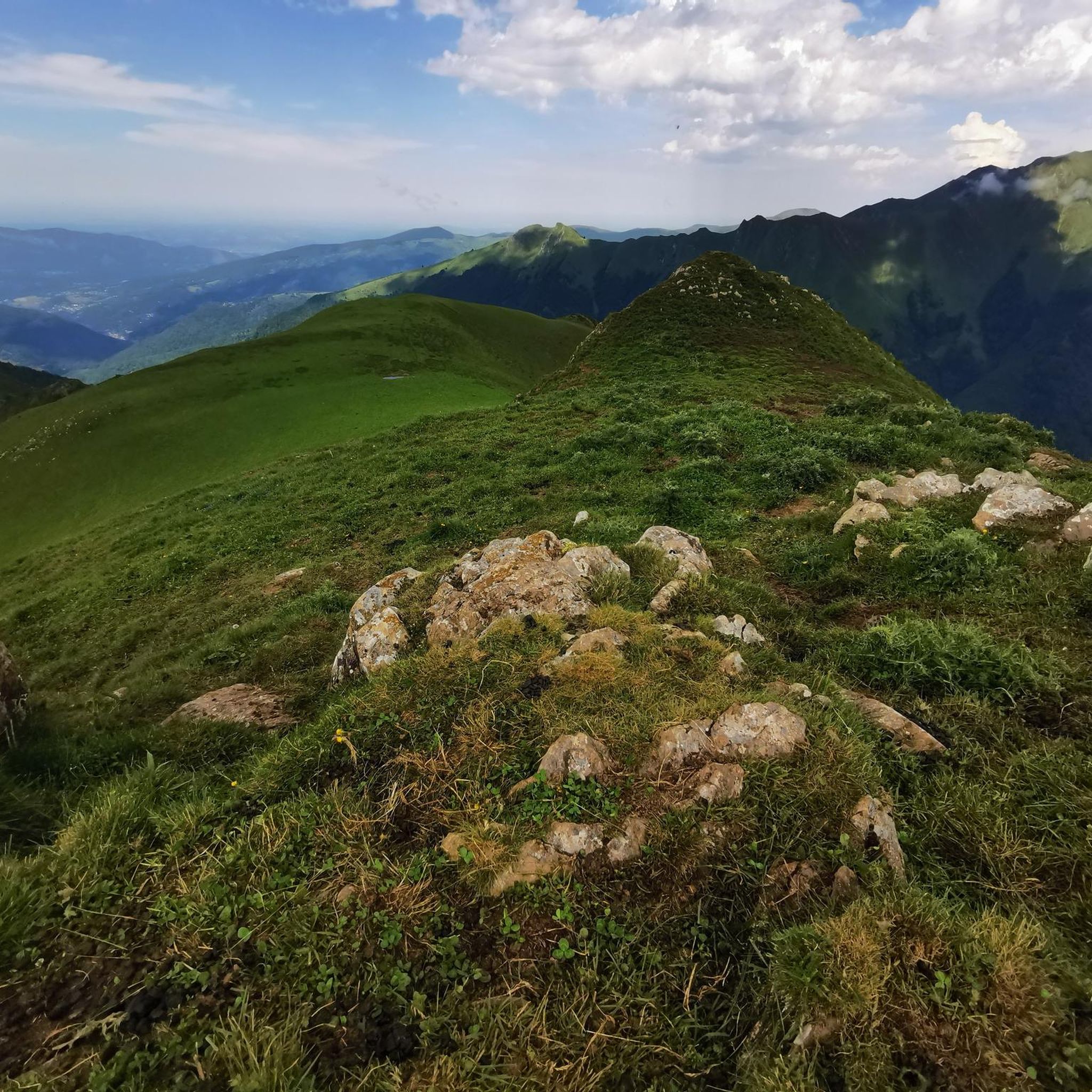
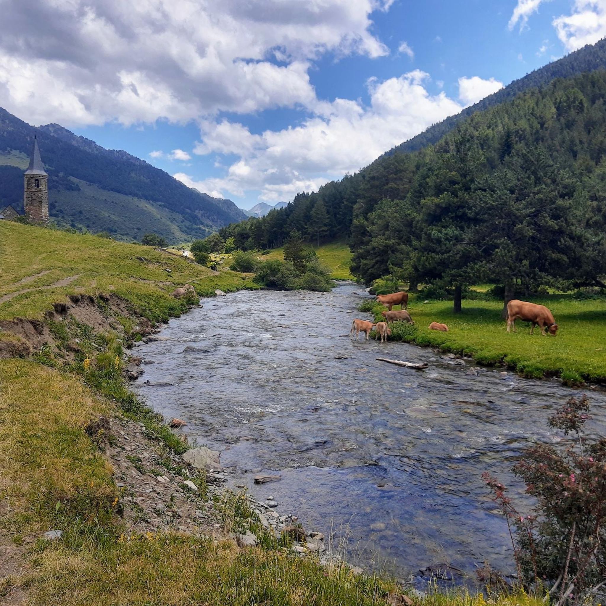
Jogging routes around Bonac-Irazein traverse diverse landscapes within the Ariège Pyrenees Regional Natural Park. The region features mountainous terrain with significant elevation changes, dense woodlands, and views of local étangs (lakes). These running routes offer opportunities to explore the natural environment, from challenging ascents to paths winding through forests and valleys.
Best jogging routes around Bonac-Irazein
- The most popular jogging route is Riviere departure – View of Étang d'Araing loop from Antras, a 9.9 miles (15.9 km) trail that…
Last updated: July 4, 2026
35
runners
15.9km
02:44
1,080m
1,080m
Hard run. Very good fitness required. Sure-footedness, sturdy shoes and alpine experience required.
10
runners
12.5km
02:35
860m
860m
Hard run. Very good fitness required. Sure-footedness, sturdy shoes and alpine experience required.

Sign up for free
3.5
(2)
12
runners
12.2km
01:50
610m
610m
Hard run. Very good fitness required. Mostly paved surfaces. Suitable for all skill levels.
13
runners
23.1km
04:47
1,680m
1,680m
Hard run. Very good fitness required. Sure-footedness, sturdy shoes and alpine experience required.
5
runners
8.01km
00:58
240m
230m
Moderate run. Good fitness required. Mostly paved surfaces. Suitable for all skill levels.
Get access to more routes and recommendations from other explorers.
Sign up for free
Already have an account?
Our route recommendations are based on thousands of hikes, rides, and runs completed by other people on komoot.
Start today with a free account
Your next adventure awaits.
Login or Signup

Other adventures around Bonac-Irazein

Tips from the Community


Going over the Col d'Auedole is to treat yourself to a pretty sight. You will see the richness of flora and fauna with superb flowers, mushrooms, insects, reptiles and birds. On a larger scale, the panoramas open wide in front of you and show you all the beauty of the Pyrenees.
0
0

The Morères cabin is an unguarded shelter in the Pyrenees which has a table, two benches and a small stove. You have a water fountain nearby.
1
0
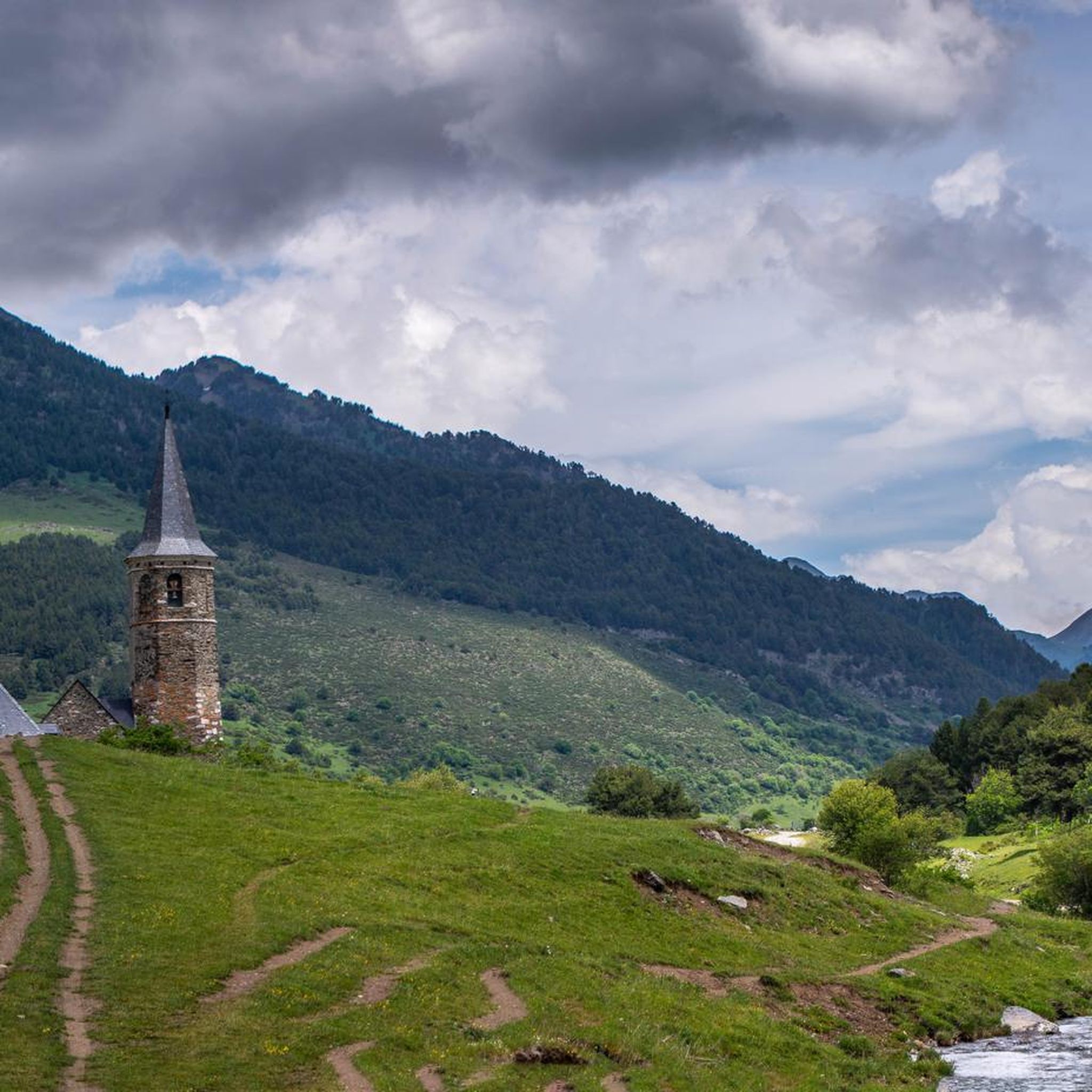
This picturesque chapel, built in the 18th century, offers a breathtaking view of the surrounding peaks. It is a place of meditation for hikers and nature lovers. It is located on an alternative path to the Tour du Biros.
1
0

The Eychelle pond is a mountain lake located at 1893 meters above sea level, accessible either via the Col de la Core or from the Col de Auedole on the GR10.
0
0
Access to the lake is either via the Auèdole pass or via the Campuls circus (at the end of a track) for those who wish to walk a little less.
1
0
Pretty pass on the GR 10 allowing access to the Ayes pond to the southwest and the Eychelle pond to the southeast.
1
0
Frequently Asked Questions
How many running routes are available around Bonac-Irazein?
There are over 50 running routes in the Bonac-Irazein area, offering a wide range of options for different fitness levels and preferences. These include 3 easy routes, 14 moderate routes, and 35 difficult routes, primarily through mountainous terrain and dense woodlands.
Are there any easy or beginner-friendly running routes in Bonac-Irazein?
Yes, Bonac-Irazein offers a few easier running options suitable for beginners or those looking for a less strenuous run. While many routes feature significant elevation changes, there are 3 routes classified as easy and 14 as moderate, providing gentler paths through the natural landscape.
What is the typical length of running routes in Bonac-Irazein?
The running routes in Bonac-Irazein vary significantly in length. For example, you can find routes like the Riviere departure – Izard Chapel loop from Antras which is about 12.2 km, or longer, more challenging runs such as the Riviere departure – In the woods loop from Antras, which extends to 23.5 km.
Can I find circular running routes in Bonac-Irazein?
Yes, many of the running trails around Bonac-Irazein are designed as loops, allowing you to start and finish at the same point. Examples include the Riviere departure – View of Étang d'Araing loop from Antras and the Sérau Peak – Morères Hut loop from Balacet, which offer varied terrain and scenic views.
What kind of scenery can I expect on the running trails?
The running routes in Bonac-Irazein are known for their diverse and scenic landscapes. You'll experience mountainous terrain, dense woodlands, and often enjoy views of local étangs (lakes) and peaks. Trails like the Riviere departure – View of Étang d'Araing loop from Antras specifically highlight these natural features.
Are there any waterfalls or natural monuments to see along the running routes?
Yes, the region around Bonac-Irazein features several natural attractions. While running, you might encounter sights like the Cascade de Nerech or the Source of the Garona River. The area also boasts impressive peaks such as Mount Valier.
When is the best time of year for running in Bonac-Irazein?
Given the mountainous nature of Bonac-Irazein, spring, summer, and early autumn generally offer the most favorable conditions for running. During these seasons, the weather is typically milder, and trails are more accessible. Winter running can be challenging due to snow and ice, especially at higher elevations.
Can I bring my dog on the running trails in Bonac-Irazein?
Many trails in natural areas like Bonac-Irazein are dog-friendly, but it's always recommended to keep your dog on a leash, especially in areas with livestock or protected wildlife. Be mindful of the difficulty and length of the route, as some challenging mountain trails might not be suitable for all dogs.
What do other runners enjoy most about jogging in Bonac-Irazein?
The running routes in Bonac-Irazein are highly rated by the komoot community, with an average score of 3.8 stars. Runners often praise the challenging mountain trails, the extensive wooded areas, and the rewarding scenic views of étangs and peaks after significant ascents.
Are there any running routes that pass by lakes or water features?
Absolutely. The region is characterized by its beautiful étangs (lakes). For instance, the Riviere departure – View of Étang d'Araing loop from Antras offers direct views of Étang d'Araing, and the Étang d'Ayes – Étang d'Eychelle loop from Bordes-Uchentein connects two notable lakes.
Are the running trails in Bonac-Irazein well-marked?
While many trails in popular outdoor regions are generally well-maintained and marked, it's always advisable to carry a map or use a reliable navigation app like komoot, especially on longer or more remote mountain routes. The varied terrain and dense woodlands can sometimes make navigation challenging.
What are the elevation changes like on the running routes?
Bonac-Irazein is known for its significant elevation changes, making it a challenging and rewarding destination for runners. Many routes involve considerable ascents and descents, leading to peaks and viewpoints. For example, the Riviere departure – In the woods loop from Antras features an elevation gain of over 1700 meters.
Most popular attractions around Bonac-Irazein

Get inspired with the komoot mobile app


Explore more
Browse the best Running Trails & Routes in other regions.
