The best running trails around Ferrières-Sur-Ariège
4.5
(83)
4,397
runners
225
runs
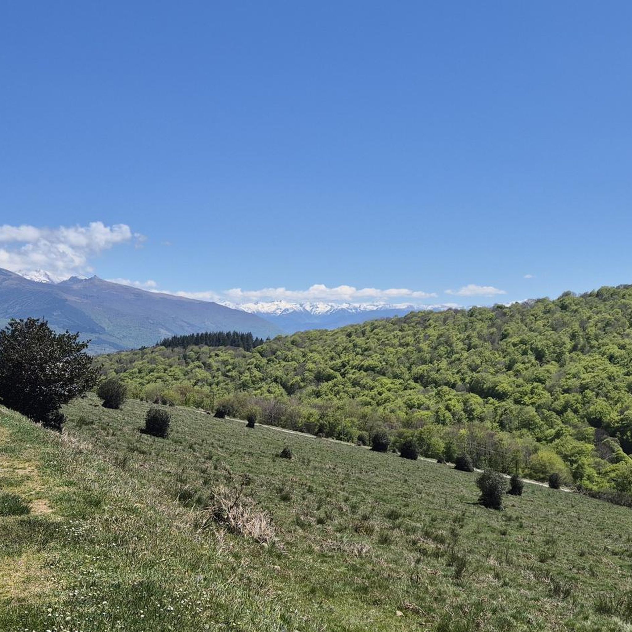
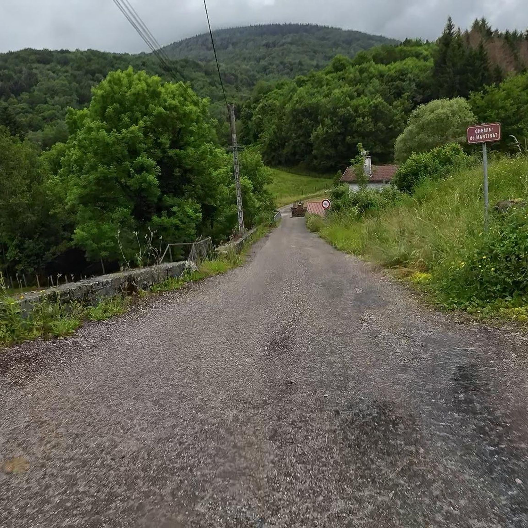
Jogging routes around Ferrières-Sur-Ariège traverse a diverse landscape within the Parc naturel régional des Pyrénées Ariégeoises. The region features majestic mountains, expansive forests, and tranquil lakes, with altitudes ranging from 390m to 1056m. This varied topography offers both gentle riverside paths and more challenging ascents in the foothills. The area provides a well-preserved natural setting for outdoor activities.
Best jogging routes around Ferrières-Sur-Ariège
- The most popular jogging route is Le Picou loop from Ganac, a 11.5 miles (18.5 km)…
Last updated: July 4, 2026
5.0
(1)
83
runners
11.1km
01:40
540m
540m
Hard run. Very good fitness required. Sure-footedness, sturdy shoes and alpine experience required.
20
runners
12.1km
01:36
540m
540m
Hard run. Very good fitness required. Mostly paved surfaces. Suitable for all skill levels.

Sign up for free
113
runners
25.5km
03:50
1,350m
1,350m
Hard run. Very good fitness required. Mostly accessible paths. Some sure footedness required.
27
runners
10.3km
01:21
360m
360m
Hard run. Very good fitness required. Mostly accessible paths. Some sure footedness required.
16
runners
17.8km
02:37
630m
640m
Hard run. Very good fitness required. Sure-footedness, sturdy shoes and alpine experience required.
Get access to more routes and recommendations from other explorers.
Sign up for free
Already have an account?
Our route recommendations are based on thousands of hikes, rides, and runs completed by other people on komoot.
Start today with a free account
Your next adventure awaits.
Login or Signup

Tips from the Community

The small town of Montgailhard is located south of Foix and makes a good place to end your first leg. The town has a campsite along the Amenée Canal.
2
0

A great climb, it's beautiful no matter where you look!
0
0

Imposing church for the place.
2
0

Beautiful view of the surroundings of Foix, of the forests, of the distribution of the villages, orientation of the geology. It is a known and heritage spot when you live in the vicinity of Foix. Easy to reach by car or bike. Departures of walks. Pastoral with cows or horses in summer, regular snow in winter.
3
1

El Prat d'Albis is a plateau of altitude in the Pyrenees that culminates at 1,211 meters above sea level near Foix, in Ariège (France).
0
0
A beautiful natural balcony located between the confluences of l'Ariège and the Saurat, starting from the Occitan city of Foix. The asphalt road starts from Foix facing south, passing from an initial wooded area to a few last kilometers. in the open sky, traveling alongside different communication antennas. After Prat d'Albis, the paved road continues to the Pla de Reynes livestock area (1389 mts.) At the foot of the top of Bout de Touron (1490 mts.) The port from the town of Foix is 16.3 km long. with an average of 6.5%.
0
0


Frequently Asked Questions
How many running routes are available around Ferrières-Sur-Ariège?
The Ferrières-Sur-Ariège area offers a wide selection of running routes, with over 200 trails listed on komoot. These routes cater to various preferences, from gentle paths to more challenging ascents.
What kind of terrain can I expect on the jogging trails in Ferrières-Sur-Ariège?
The terrain around Ferrières-Sur-Ariège is quite diverse, ranging from gentle riverside paths to more challenging ascents in the foothills of the mountains. You'll find varied forests, mountain foothills, and open terrains, often with significant changes in altitude, as the region's elevation spans from 390m to 1056m.
Are there running routes suitable for beginners or those looking for an easier run?
While many routes in the area feature significant elevation changes, there are options for various ability levels. Out of over 200 routes, 9 are classified as easy and 89 as moderate, offering less strenuous options for beginners or those seeking a more relaxed run.
Are there any long-distance running trails in the Ferrières-Sur-Ariège region?
Yes, for those seeking longer runs, the area provides several options. For example, the Porte-Pa Pass – Panoramic View of Foix loop from Montgailhard is a challenging 21.9 km trail with over 1100m of elevation gain, offering a substantial workout and panoramic views.
What scenic views or landmarks can I expect to see along the running routes?
Many running routes offer stunning natural beauty and panoramic viewpoints. You can enjoy magnificent views over the city of Foix and the Ariège plain from areas like Prat d'Albis. The region also features dense forests, serene lakes, and the beautiful Vernajoul Viaduct Greenway, providing a picturesque backdrop for your run.
Are there any running trails that feature waterfalls?
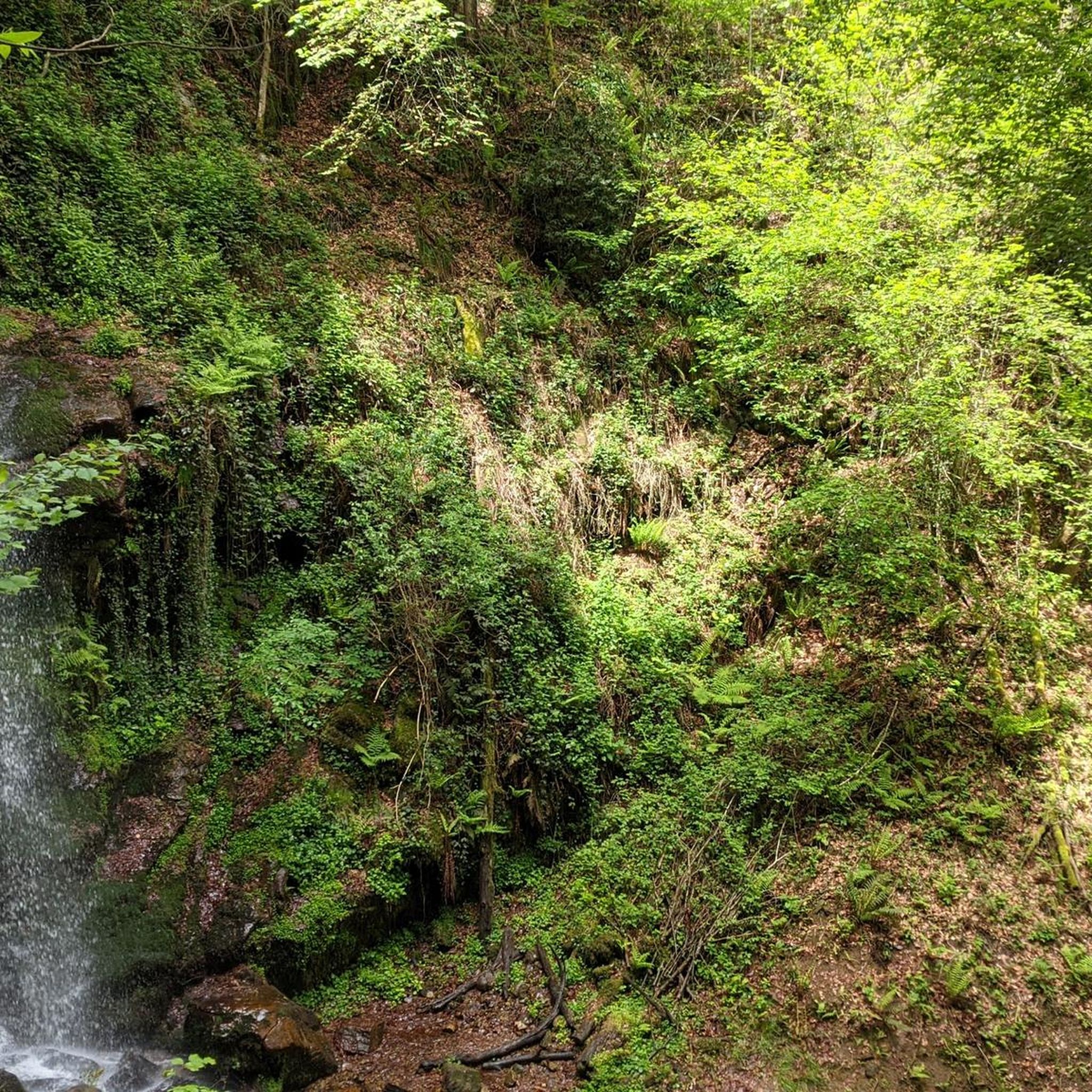
Yes, the region is known for its natural features, including waterfalls. The 'Cascade loop from Prayols' (mentioned in region research) is a moderate 7.6 km trail featuring a waterfall and forested sections, offering a refreshing natural spectacle during your run.
Can I bring my dog on the running trails around Ferrières-Sur-Ariège?
The Parc naturel régional des Pyrénées Ariégeoises, where Ferrières-Sur-Ariège is located, is generally dog-friendly. However, it's always recommended to keep dogs on a leash, especially in protected areas or near livestock, and to check specific trail regulations before heading out.
Are the running routes around Ferrières-Sur-Ariège typically circular?
Many of the popular running routes in the area are designed as loops, allowing you to start and finish at the same point. Examples include the Running loop from Ferrières-sur-Ariège and the Running loop from Prayols, which are convenient for exploration.
What do other runners enjoy most about jogging in Ferrières-Sur-Ariège?
The running routes in Ferrières-Sur-Ariège are highly rated by the komoot community, with an average score of 4.36 stars from over 60 reviews. Runners often praise the varied terrain, the well-preserved natural setting within the Parc naturel régional des Pyrénées Ariégeoises, and the stunning panoramic views, especially from trails like the Prat d'Albis loop from Prayols.
What is the best time of year to go running in Ferrières-Sur-Ariège?
Ferrières-Sur-Ariège offers a pleasant running experience throughout much of the year. Spring and autumn provide mild temperatures and beautiful scenery. Summer is also popular, though it's advisable to run early in the morning or late in the afternoon to avoid the midday heat. Winter running is possible, but some higher-altitude trails might be affected by snow or ice.
Are there any family-friendly running routes in the area?
While many routes involve significant elevation, there are easier and moderate options that can be suitable for families, depending on their fitness level. Look for trails with less elevation gain and shorter distances, or consider sections of the greenways like the V81 Greenway Tunnels (Saint-Girons – Foix) for a flatter experience.
Is parking or public transport available near the running trailheads?
Access to trailheads often involves local roads, and parking availability can vary. For popular routes, there are usually designated parking areas. Public transport options might be limited in some of the more remote starting points, so planning your journey in advance is recommended. For specific routes, checking local information for parking near the starting points like Ganac or Prayols is advisable.
Most popular routes around Ferrières-Sur-Ariège
Most popular attractions around Ferrières-Sur-Ariège

Get inspired with the komoot mobile app


Explore more
Browse the best Running Trails & Routes in other regions.
