The best mountain hikes around Lapège
5.0
(2)
7
hikers
3
hikes
Mountaineering routes around Lapège are situated within the rugged French Pyrenees, specifically the Parc Naturel Régional des Pyrénées Ariégeoises. The region is characterized by diverse mountainous terrain, featuring significant peaks and extensive high-altitude environments. This area offers challenging conditions for mountaineers, with varied landscapes including forests, rocky ascents, and panoramic viewpoints.
Best mountaineering routes around Lapège
- The most popular mountaineering route is Pic des Trois Seigneurs loop from Parking du Ressec, a 9.1 miles (14.7 km) trail that takes…
Last updated: October 7, 2026
5.0
(1)
4
hikers
14.6km
07:13
1,160m
1,160m
Hard mountaineering route. Very good fitness required. Sure-footedness, sturdy shoes and alpine experience required.
2
hikers
14.1km
04:31
560m
560m
Moderate mountaineering route. Good fitness required. Easily-accessible paths. Suitable for all skill levels.

5.0
(1)
1
hikers
Moderate mountaineering route. Good fitness required. Mostly accessible paths. Sure-footedness required.
Our route recommendations are based on thousands of hikes, rides, and runs completed by other people on komoot.
Start today with a free account
Your next adventure awaits.
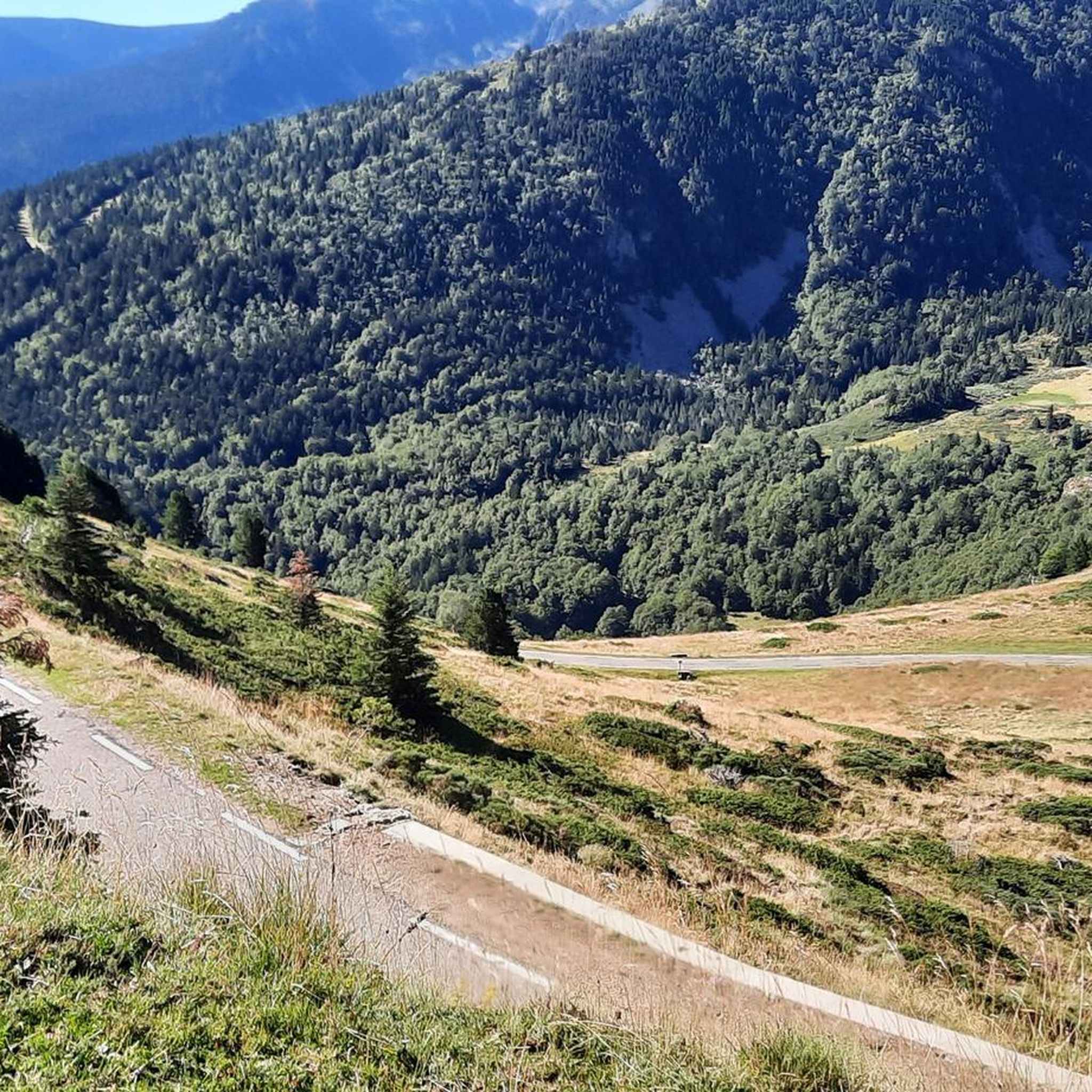
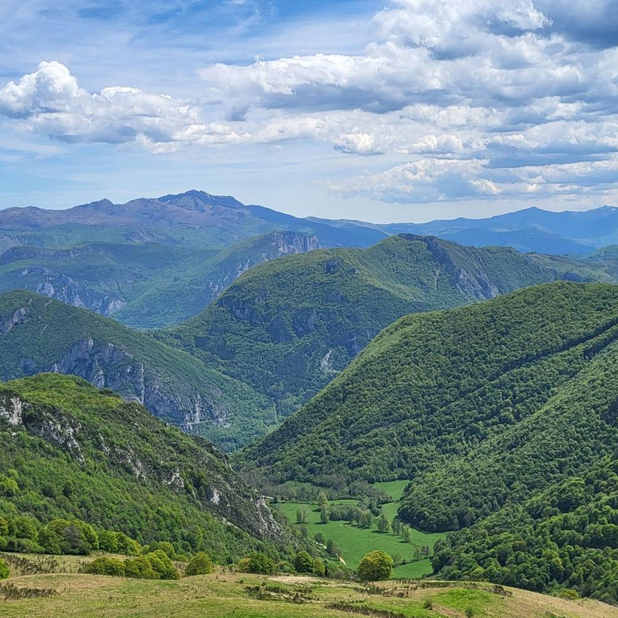
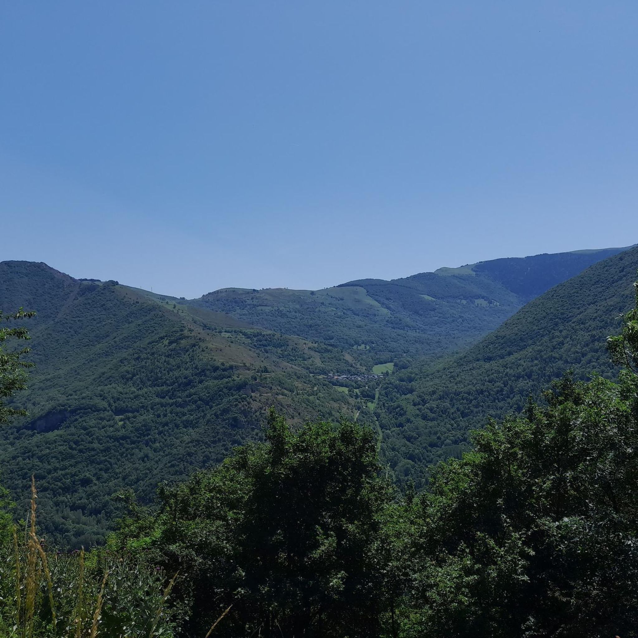
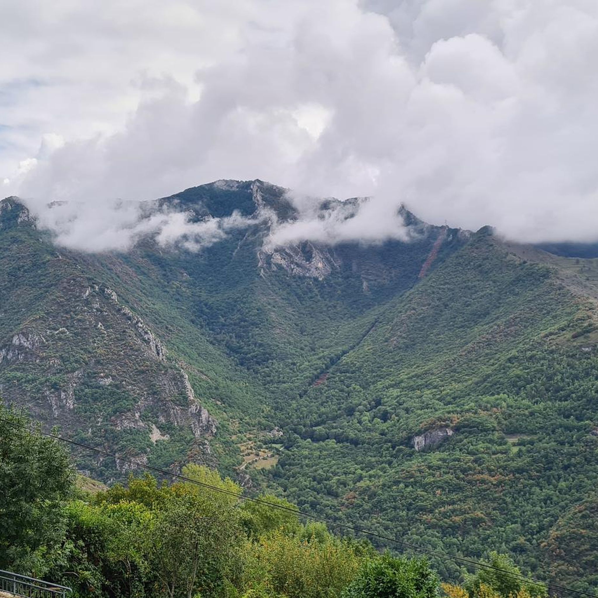

Tips from the Community


A magnificent peak, accessible to any experienced hiker. However, you must be careful to wait until the snow has completely melted before making the ascent.
2
0

Climb made by the Col de la Pourtanelle quite physical up to the Pic des Trois Seigneurs
1
1

Beautiful town with idyllic river views.
0
0

A peak that rises to 2,199 meters above sea level and offers a magnificent view of the Pyrenees.
2
0

The view of the mountains is awesome :)
1
0

Requires good physical condition and good shoes, some steep sections but not exposed.
1
1

(not too blue in this season ;-)) 40 minutes from the Blue Pond, towards the Pic des Trois Seigneurs (almost the same, the same view, no need to go that far).
2
0
Frequently Asked Questions
What is the overall difficulty of mountaineering routes around Lapège?
Mountaineering routes in Lapège range from moderate to difficult. Many trails feature significant elevation gain and require good physical condition, with some demanding alpine experience. The region is known for its challenging ascents and varied terrain, including rocky sections and high-altitude environments.
Are there any routes suitable for less experienced mountaineers?
Yes, there are moderate routes available. For example, the Notre-Dame de Sabart Chapel – Tarascon-sur-Ariège loop from Tarascon-sur-Ariège is a moderate 14.5 km trail. Another moderate option is the Sommet des Rochers de Carlong – Bois du Roc de Marty loop from Rabat-les-Trois-Seigneurs, which covers about 9 km.
What kind of terrain can I expect on mountaineering routes in Lapège?
You can expect a diverse range of terrain, from wide, stony paths and grassy trails to dense forested sections and rocky ascents. Some routes feature alternating forest paths, forest tracks, and balcony paths, offering varied experiences and stunning views of the Ariège Pyrenees.
Are there circular mountaineering routes available in Lapège?
Yes, several routes are circular. Popular options include the Pic des Trois Seigneurs loop from Parking du Ressec, the Étang d'Artax – Roc de Querquéou loop from Gourbit, and the Embans Circus loop from Parking du Ressec.
What kind of views can I expect on these routes?
Many trails offer expansive panoramic vistas of the surrounding peaks and valleys. From locations like the Pla de Madame, you can enjoy magnificent views of the Montcalm and Bassiès massifs. The Roc de Querquéou also provides an excellent viewpoint over the many summits of the Haute Ariège.
Are there any routes that pass by notable natural features like lakes or streams?
Yes, the Étang d'Artax – Roc de Querquéou loop from Gourbit leads to a scenic mountain lake. You can also find picturesque walks along the Ruisseau de l'Étang d'Artax (Artax Pond stream) and explore beautiful forests, such as the beech and spruce forests along the Doulent forest road.
What are some interesting landmarks or attractions near the mountaineering routes?
Beyond the natural beauty, you can explore historical and pastoral sites with evidence of past agricultural activity. Notable landmarks include the Notre-Dame de Sabart Chapel, which is part of a moderate mountaineering route. The region also features prominent peaks like Three Lords' Peak and Pic de Risoul.
What do other mountaineers enjoy the most about mountaineering in Lapège?
The area is highly rated by the komoot community, with an average score of 4.9 stars. Reviewers often praise the challenging ascents, the diverse Pyrenean landscapes, and the extensive views from prominent peaks.
Is Lapège part of a protected natural area?
Yes, Lapège is nestled within the Pyrénées Ariégeoises Regional Natural Park. This designation highlights the region's commitment to preserving its remarkable flora, fauna, and cultural heritage, making it an exceptional destination for outdoor activities. You can learn more about the park at tourisme-couserans-pyrenees.com.
Are there specific mountain passes incorporated into routes around Lapège?
Yes, several challenging routes incorporate mountain passes, including the Col de Larnat, Col Doulent, Col du Pla de Faradu, Col de Lastris, and Col de la Bène, adding to the mountaineering appeal and offering varied terrain.
Most popular attractions around Lapège

Get inspired with the komoot mobile app


Explore more
Browse the best Mountain Hikes & Routes in other regions.
