The best walks and hikes around Suc-Et-Sentenac
4.5
(1191)
10,785
hikers
15
hikes
Hiking around Suc-Et-Sentenac, located in the Ariège department of the Midi-Pyrenees, offers diverse landscapes for outdoor enthusiasts. The region features Pyrenean peaks, mountain passes, and high-altitude lakes, all within the Parc Naturel Régional des Pyrénées Ariégeoises. Trails traverse varied terrain, including dense forests and open mountain ridges, providing a range of experiences. This area is characterized by significant elevation changes and panoramic viewpoints.
Best hiking trails around Suc-Et-Sentenac
- The most popular hiking route is Pic des 3 seigneurs – loop…
Last updated: October 16, 2026
4.5
(93)
919
hikers
Hard hike. Very good fitness required. Sure-footedness, sturdy shoes and alpine experience required.
4.8
(6)
93
hikers
8.62km
04:25
670m
670m
Moderate hike. Good fitness required. Mostly accessible paths. Sure-footedness required.

4.4
(18)
207
hikers
6.03km
02:41
400m
400m
Hard hike. Good fitness required. Sure-footedness, sturdy shoes and alpine experience required.
5.0
(3)
13
hikers
10.9km
05:47
940m
940m
Hard hike. Very good fitness required. Mostly accessible paths. Sure-footedness required.
4.3
(6)
15
hikers
5.72km
01:36
120m
120m
Easy hike. Great for any fitness level. Easily-accessible paths. Suitable for all skill levels.
Get access to more routes and recommendations from other explorers.
Already have an account?
Our route recommendations are based on thousands of hikes, rides, and runs completed by other people on komoot.
Start today with a free account
Your next adventure awaits.
Tips from the Community

Small stone bridge that must be crossed to climb to the Etang d'Arbu
0
0
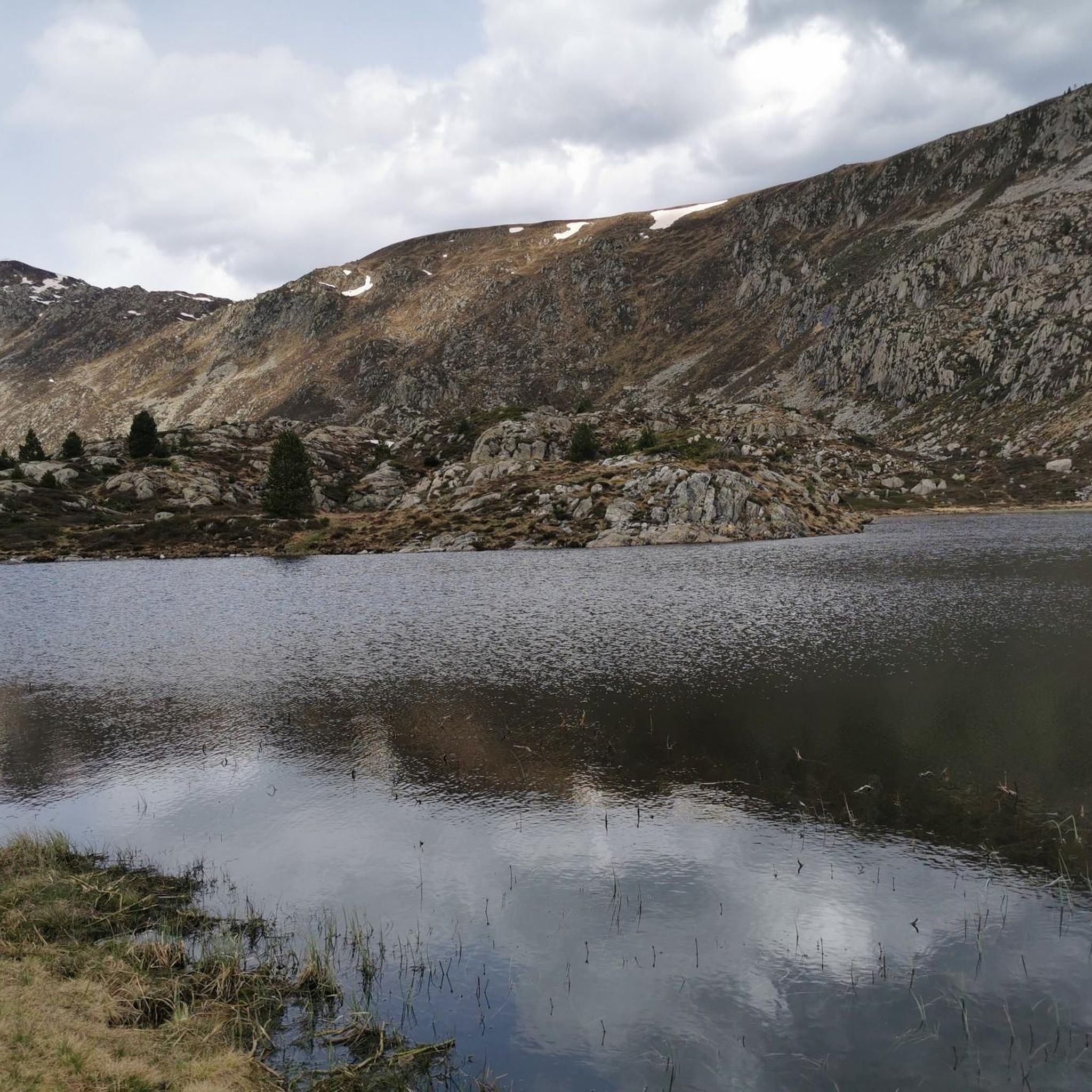
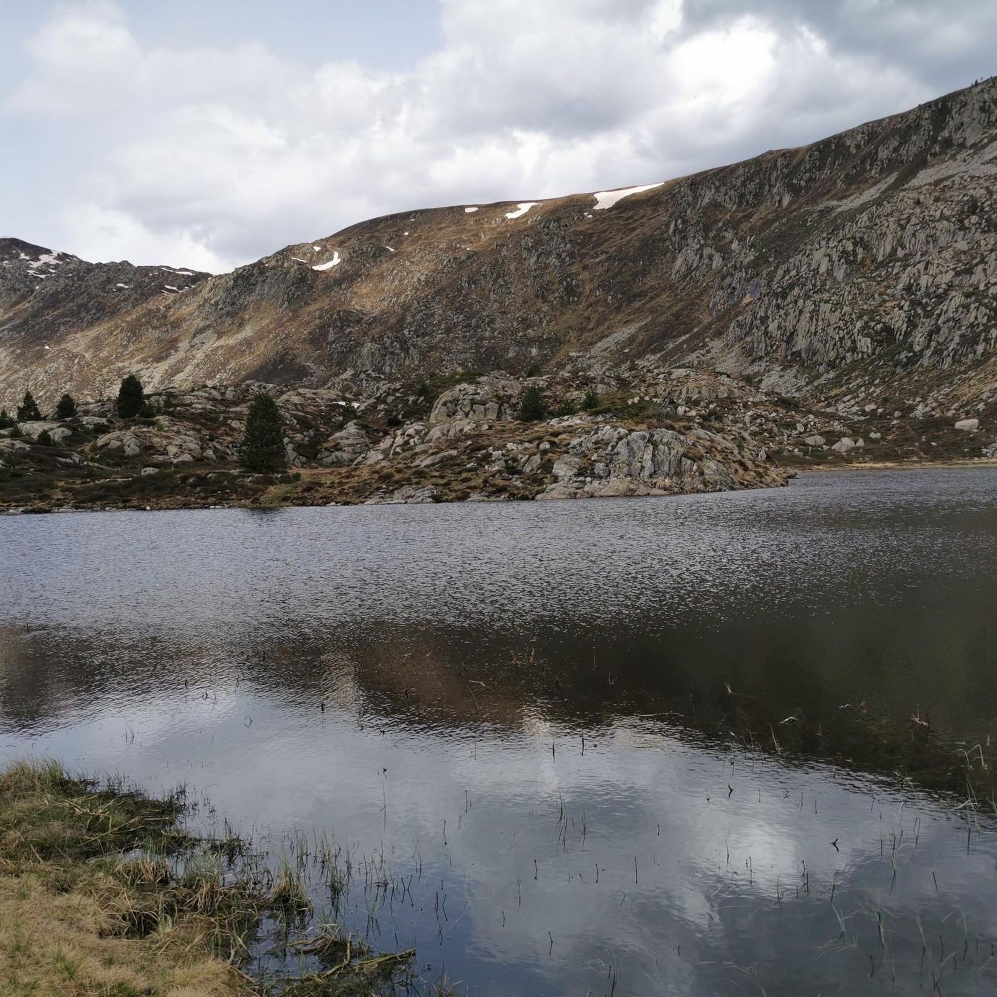
The Étang d'Arbu at 1726 m. It is a rather large, dark lake with small islands. You can see the Pic des Trois Seigneurs (Peak of the Three Lords) to the northeast.
0
0


It is a MUST in the Pyrenees, without a doubt, that should be included in any route that crosses the Pyrenees from side to side. Either of its slopes 2 is spectacular and tough. The views from its summit are wonderful, feeling the wild side of the Pyrenees. Of course, once at the summit of this pass... you have to descend to the Étang de Lers and enjoy a peaceful rest on the shores of the lake. It is a pass that has been part of the Tour de France route on several occasions, although always far from the finish line. The first professional rider to crest it in the lead was the unforgettable Marco Pantani in 1995.
0
0

I liked the climb from the north side (from Massat), very scenic and alpine landscapes towards the end at the étang de Lers
0
0

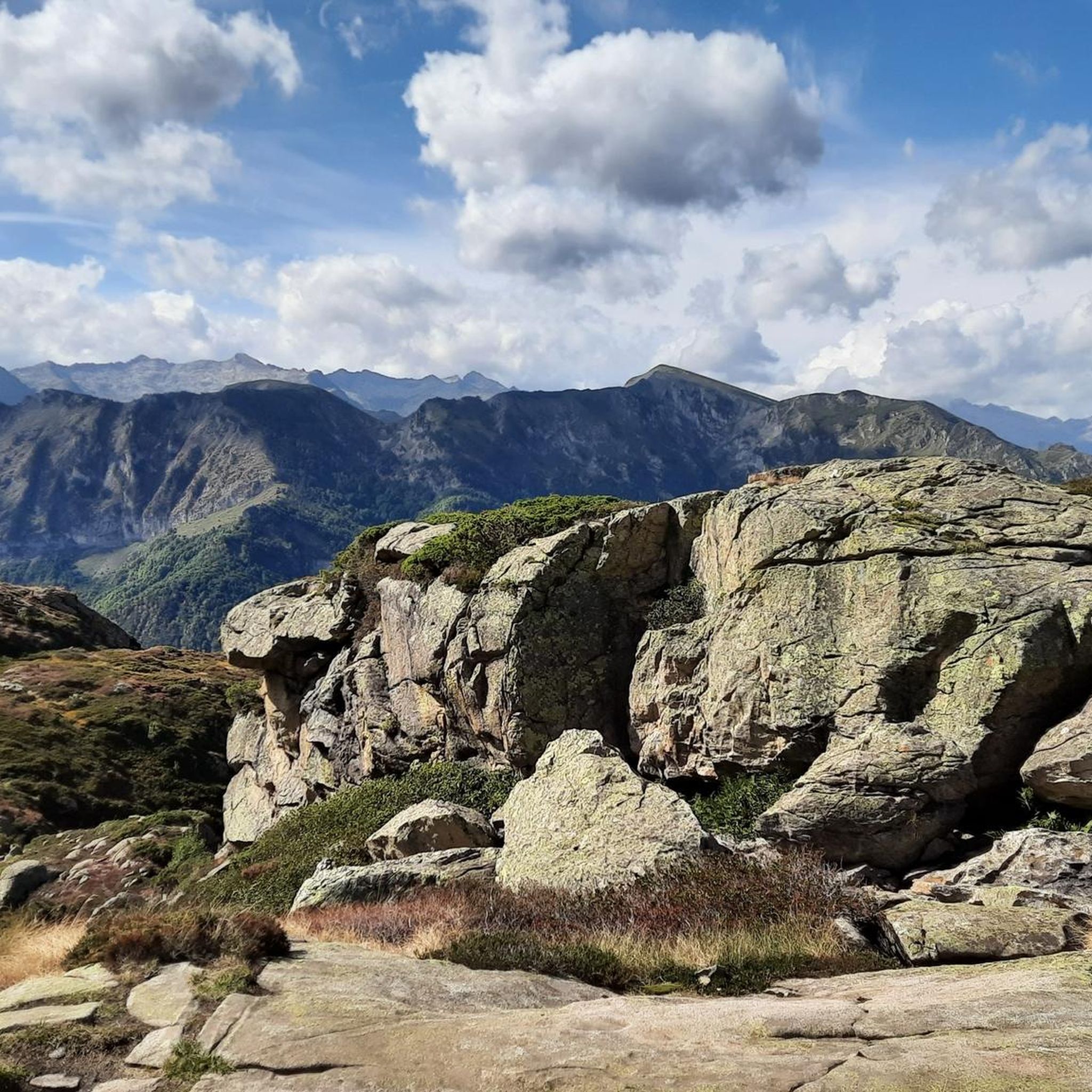
A magnificent peak, accessible to any experienced hiker. However, you must be careful to wait until the snow has completely melted before making the ascent.
2
0
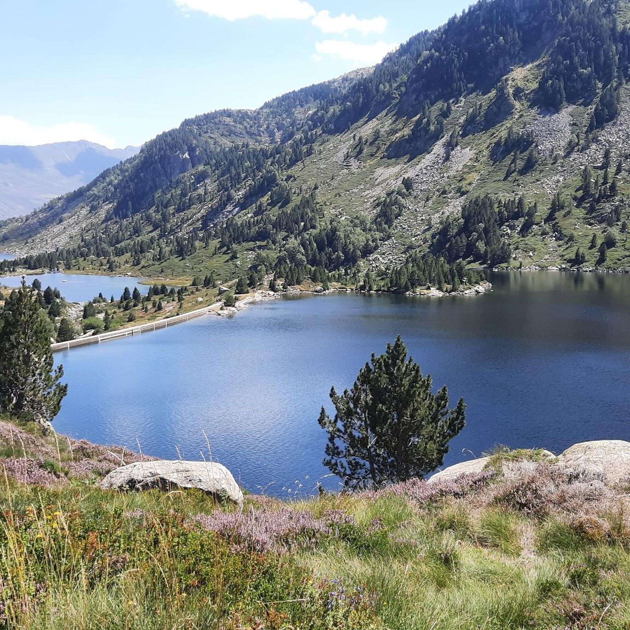
A very beautiful mountain lake which offers a beautiful view of the Bassiès massif!
1
1

Really worth it, After 460 hm (starting at hiking parking) you'll be able to see about everything, for example the mont Valier!
3
0
Frequently Asked Questions
What kind of terrain can I expect on hikes around Suc-et-Sentenac?
The terrain around Suc-et-Sentenac is highly varied, ranging from challenging Pyrenean peaks and mountain passes to lush valleys and dense forests. You'll encounter significant elevation changes, rocky paths in higher altitudes, and softer forest floors. The region is part of the Parc Naturel Régional des Pyrénées Ariégeoises, offering diverse landscapes including ancient oaks, buxus, and hazelnut trees.
Are there any easy or beginner-friendly hiking routes in Suc-et-Sentenac?
While many routes in Suc-et-Sentenac are moderate to difficult, there are options for easier walks. The region offers a range of trails, with 1 out of 13 listed routes being easy. These typically involve less elevation gain and shorter distances, perfect for those new to hiking or looking for a relaxed stroll.
What are some challenging hikes for experienced trekkers?
For experienced hikers, Suc-et-Sentenac offers several demanding routes. A notable difficult trail is the Pic des 3 seigneurs – loop starting from the Port de Lers car park, which is 6.7 miles (10.8 km) long with significant elevation gain, offering extensive 360-degree panoramas. Another challenging option is the Saleix Pass – Alate Pond loop from Port de Lers, an 8.9 miles (14.3 km) trail leading through mountain passes and high-altitude ponds.
Can I find circular walks in the Suc-et-Sentenac area?
Yes, many of the hiking routes around Suc-et-Sentenac are designed as loops, allowing you to start and finish at the same point. Examples include the Pic des 3 seigneurs loop and the Barrès Peak – Three Lords' Peak loop from Port de Lers, both starting from Port de Lers.
Are there any waterfalls or lakes to see on the trails?
The region is rich in natural water features. The Vicdessos valley, near Suc-et-Sentenac, is home to impressive waterfalls like those at Caraoucou, which are over 50 meters high. You can also find stunning high-altitude lakes such as Izourt Pond and Étang d'Arbu, which are often integrated into hiking routes. The Étang d'Arbu loop from Port de Lers is a demanding route leading to this beautiful pond.
What are the best viewpoints or natural features to look out for?
Suc-et-Sentenac offers numerous breathtaking viewpoints. The summit of Pic des Trois Seigneurs provides exceptional 360-degree panoramas, stretching to Mont Valier. Other notable spots include Port de Lers and Col d'Agnes, known for their scenic beauty and views of the Étang de Lers. The Crêtes de Bège and Crête du Sarrasi also offer rewarding panoramic vistas after their ascents.
Is Suc-et-Sentenac a good destination for family-friendly hikes?
Suc-et-Sentenac offers a variety of trails, and while many are moderate to difficult, there are options suitable for families. Look for shorter, less strenuous routes with minimal elevation gain. The diverse forests and natural beauty provide an engaging environment for children to explore, though specific family-friendly routes should be chosen based on the family's fitness level.
What is the best time of year to go hiking in Suc-et-Sentenac?
The best time for hiking in Suc-et-Sentenac is generally from spring to autumn, when the weather is milder and trails are clear of snow. Summer offers warm temperatures, ideal for high-altitude treks. Spring and autumn provide pleasant conditions with vibrant flora or colorful foliage, respectively. Winter hiking is possible but requires appropriate gear and experience due to snow and colder temperatures in the Pyrenees.
Are there any historical sites or cultural attractions near the hiking trails?
Beyond the natural beauty, Suc-et-Sentenac and its surroundings offer historical and cultural points of interest. The village itself has historical charm, including Saint Maurice's Church and Saint George's Church. Nearby, you can visit the Grotte de Lombrives or the Chateau de Foix. The area also features old iron mines, like those of Rancié near Sem, and ancient dolmens, adding historical context to your walks.
What do other hikers say about the trails in Suc-et-Sentenac?
The hiking routes in Suc-et-Sentenac are highly rated by the komoot community, with an average score of 4.5 stars from over 900 reviews. Hikers often praise the diverse landscapes, the challenging ascents leading to spectacular panoramic views, and the serene beauty of the high-altitude lakes and forests. Over 9,000 hikers have used komoot to explore the varied terrain of this region.
Are there options for public transport to reach trailheads?
While specific public transport details for individual trailheads are not extensively covered, the region is part of the Ariège department. Access to some villages like Vicdessos, a starting point for significant hikes, might be possible via local bus services. However, for ultimate flexibility and access to more remote trailheads, driving is generally recommended. Parking is often available at popular starting points like Port de Lers.
Can I bring my dog on the hiking trails in Suc-et-Sentenac?
Many trails in the Parc Naturel Régional des Pyrénées Ariégeoises are dog-friendly, allowing you to enjoy the natural beauty with your canine companion. However, it's always advisable to check specific trail regulations, especially in protected areas or near livestock, and to keep your dog on a leash where required. Ensure your dog is fit for the chosen trail's difficulty and duration.
Most popular routes around Suc-Et-Sentenac
Most popular attractions around Suc-Et-Sentenac

Get inspired with the komoot mobile app


Explore more
Browse the best Hikes in other regions.
