The 13 Most Amazing Peaks around Aulus-Les-Bains
Best mountain peaks around Aulus-Les-Bains are situated in a region known for its rugged landscapes and extensive hiking trails. This area, located in the Ariège Pyrenees, provides access to a variety of mountain peaks and natural attractions. It offers diverse terrain, from dense forests to high-altitude summits, presenting numerous opportunities for outdoor exploration.
Best mountain peaks around Aulus-Les-Bains
- The most popular mountain peaks is Three Lords' Peak, a summit that rises to 2,199 meters above sea level. This peak offers a magnificent view of the Pyrenees.
- Another must-see spot is Saleix Pass, a summit and mountain pass. This pass separates the Couserans and Vicdessos valleys, providing views of these valleys.
- Visitors also love Pica d'Estats, a summit located between the region of Pallars Sobirà and the French department of Ariège. At 3,143 meters, it is the highest peak of Catalonia.
- Aulus-Les-Bains is known for high-altitude summits, scenic viewpoints, and challenging climbs. The variety of mountain peaks to see and explore includes prominent 3,000-meter peaks and accessible passes.
- The mountain peaks around Aulus-Les-Bains are appreciated by the komoot community, with 43 upvotes and 42 photos shared by users.
Last updated: June 24, 2026
Pica d'Estats
Highlight • Summit
The south wall of the mountain, furrowed by numerous channels, flows into the Coma d'Estats, forming the front of the glacial cirque where the Estany d'Estats lake is located. The ridge marks the border between Spain and France, and the existing one between Catalonia and Occitania, with a general orientation that goes from north-northwest to south-east.
This peak is included in the challenge of the 100 peaks of the Federation of Excursionist Organizations of Catalonia (FEEC).
Translated by Google •
Tip by

Montcalm Peak
Highlight • Summit
Translated by Google •
Tip by

Sign up now to discover places like this
Get recommendations on the best single tracks, peaks, & plenty of other exciting outdoor places.
Sign up for free
Saleix Pass
Highlight • Summit
Translated by Google •
Tip by

Verdaguer Peak
Highlight • Summit
Translated by Google •
Tip by

Three Lords' Peak
Highlight • Summit
Translated by Google •
Tip by
Sign up for free to discover even more peaks around Aulus-Les-Bains.
Sign up for free
Already have an account?
Start today with a free account
Your next adventure awaits.
Login or Signup
Popular around Aulus-Les-Bains

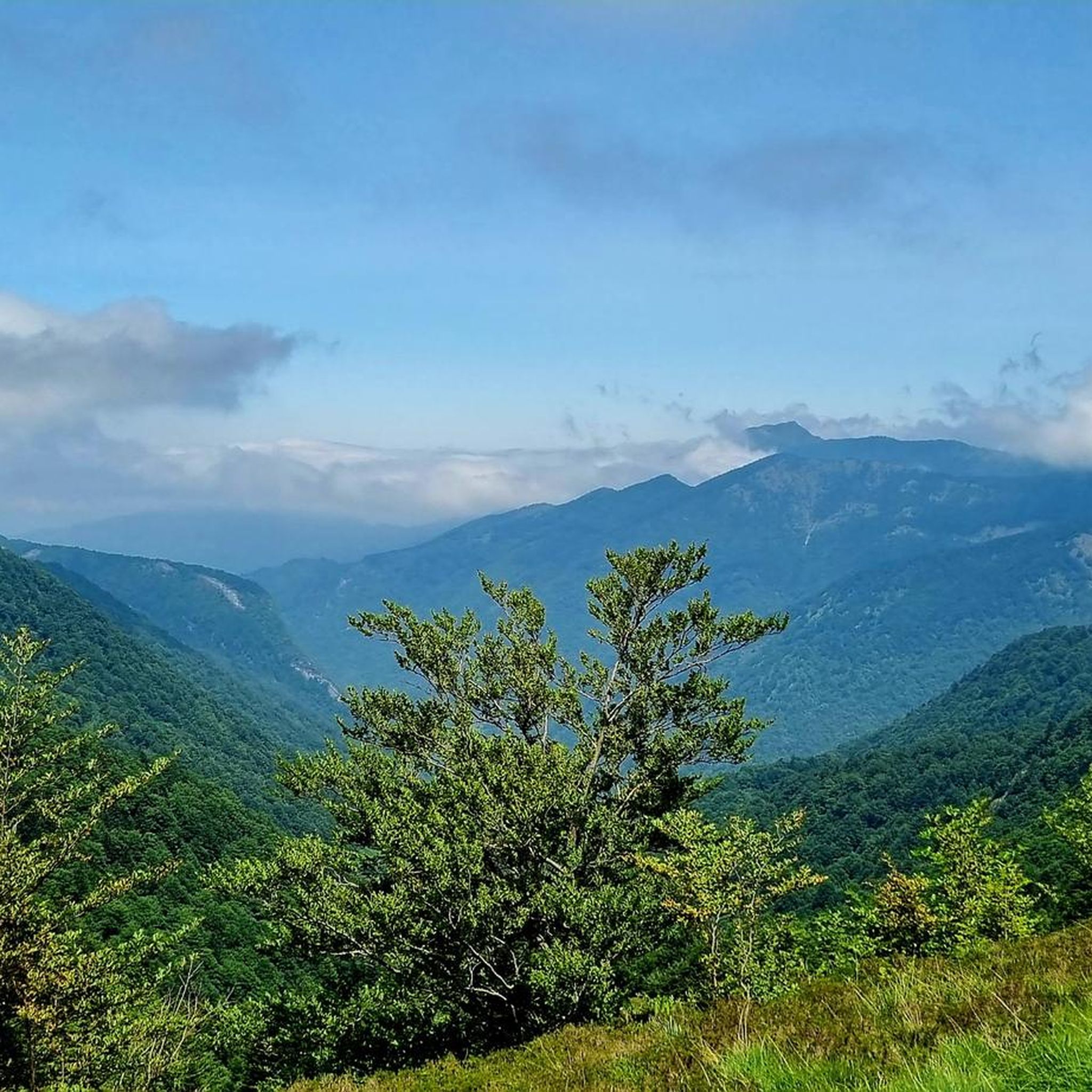
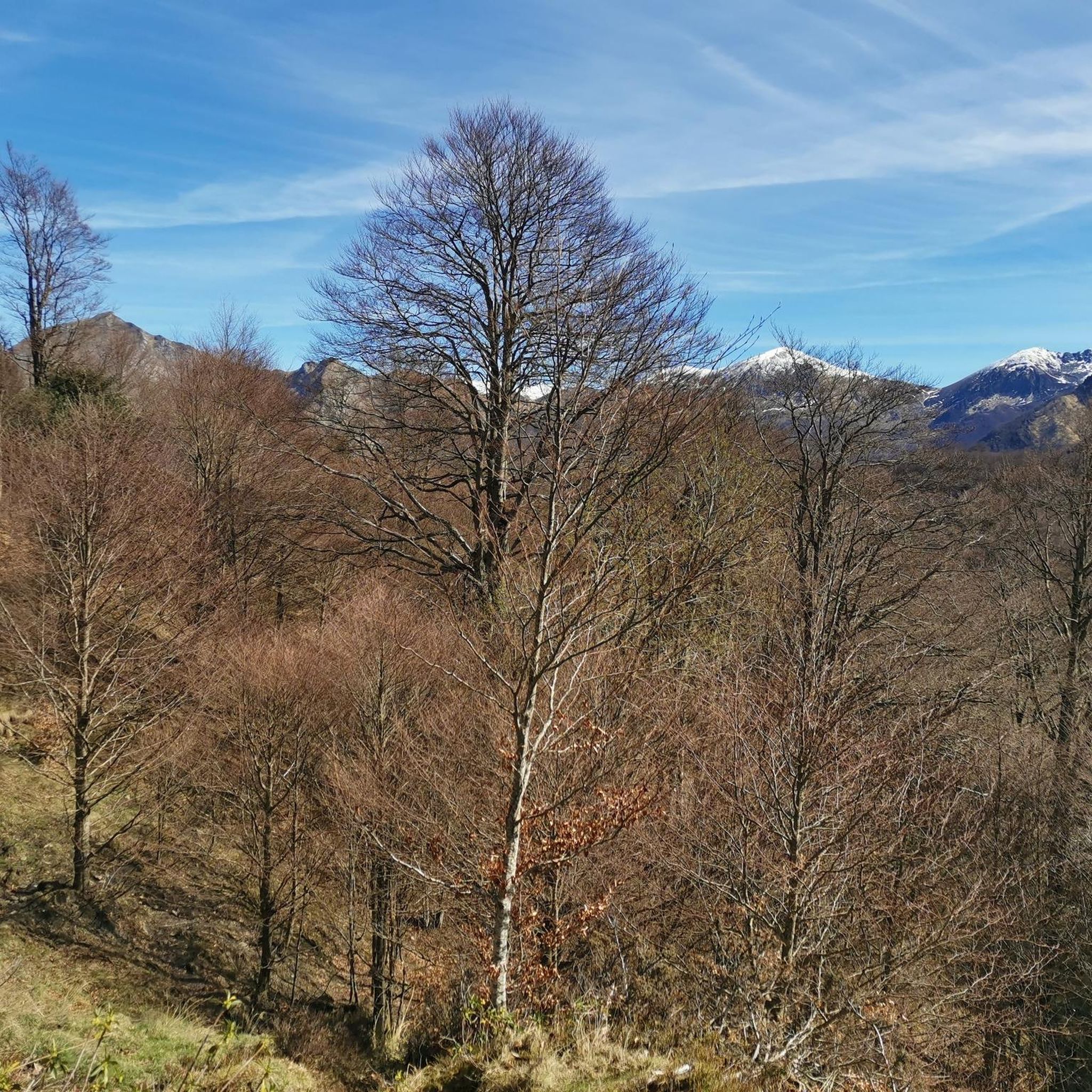


Tips from the Community

The highest peak in the Catalan Pyrenees is well worth the visit, although you have to earn it as it is a long route with considerable elevation gain to overcome.
0
0

Fantastic panoramic views all around; this summit is well worth it, as you can see from my two panorama photos. Ascent from Estany de Sotllo via the pass. I took the partly exposed scrambling/climbing ridge via Pic Verdaguer. Beautiful scrambling; you just have to be careful to stay on the right track. Descent around the summit, then back to the same pass and down past the same beautiful mountain lakes, and via the Valferrera Hut into the valley. The length and roughness of this route surprised me. Luckily, I didn't start my ascent from the hut. The section along the mountainside, especially above the hut, was quite challenging. There are frequent short climbs over rocky outcrops, and at one point, I found myself on a side path below the main trail, which then ended in the undergrowth. After a short climb, everything was fine again.
0
0

A magnificent peak, accessible to any experienced hiker. However, you must be careful to wait until the snow has completely melted before making the ascent.
1
0

I think making this peak a highlight of my run is quite a challenge. Taking the easiest route via the Refuge de Pinet would be at least challenging mountain trail running. Inexperienced runners should definitely be aware of the altitude and terrain.
0
0
A well-known 3000-meter peak entirely on the French side, with a flat summit (and bivouac stone walls). There are four ascent routes: -from the east from the Étang de Soulcem (T4) -from the north via the Refuge du Pinet (T3+) -from the northeast (steep T4+ gully, dangerous in icy conditions) -from the Spanish side (south) with an easy intermediate descent (T3+) Designed as a "mountain hiking" highlight, as some tours go beyond simple "hiking." I combined the tour with the Sotllo (T4+).
2
0
I created the summit myself as a "highlight" for mountain hiking, as my chosen long loop, including the Pic de Sotllo, was a bit more challenging. The "normal route" via the Refuge de Pinet is technically easier and lacks any real climbing. However, I find the mountain hiking category more appropriate due to the altitude and terrain. Unfortunately, Komoot makes my highlight invisible to others on the map. As has happened with several of my previous highlights in other regions, where I marked the only point.
0
0
This 3000-meter peak on the French side of the Pyrenees' main ridge is relatively easy to reach via the Refuge de Pinet, but requires a significant elevation gain from the parking lot. Therefore, using the hut is recommended; it also has a room open in winter (€8 unattended). Another ascent from the northeast allows for a "crossing," but it has a steep gully (which, when icy, almost caused me a nasty fall in October 2014). A third ascent option leads from the east, from the reservoir, over the shared pass with the Pica d'Estats. Needless to say, there's a fantastic view from the summit. Only the view to the south is limited by the slightly higher Pica d'Estats, which is why hikers with good fitness and surefootedness are recommended to climb the latter from the shared pass.
1
0

Climb made by the Col de la Pourtanelle quite physical up to the Pic des Trois Seigneurs
1
0
Frequently Asked Questions
What are some of the most prominent mountain peaks to explore around Aulus-les-Bains?
The region around Aulus-les-Bains offers several impressive peaks. Among them, Pica d'Estats stands out as the highest peak in Catalonia at 3,143 meters, located on the border with Spain. Another significant summit is Montcalm Peak, one of Ariège's tallest at 3,077 meters, offering breathtaking views. For a rewarding climb with magnificent Pyrenean vistas, consider Three Lords' Peak, which reaches 2,199 meters.
Are there any challenging climbs for experienced hikers in the Aulus-les-Bains area?
Yes, for experienced hikers seeking a significant challenge, the area offers several demanding ascents. Both Pica d'Estats and Montcalm Peak are considered challenging 3,000-meter peaks, requiring substantial elevation gain and offering rewarding panoramic views. The Verdaguer Peak, a secondary peak of Pica d'Estats, also presents a challenging climb.
What natural attractions, besides peaks, can I find while hiking near Aulus-les-Bains?
Beyond the peaks, the region boasts stunning natural features. The Cascade d'Ars is a spectacular waterfall cascading 246 meters in three tiers, making it a highly popular hiking destination. You can also discover tranquil mountain lakes like Guzet Pond, where swimming is possible on warm days, and the picturesque Etang du Garbet, both accessible via moderate hiking paths.
Are there family-friendly hiking options around Aulus-les-Bains?
While many peaks offer challenging routes, the region around Aulus-les-Bains also provides diverse hiking opportunities suitable for various skill levels. Look for trails leading to natural features like the lower sections of the Cascade d'Ars or the paths around Guzet Pond, which tend to be more accessible. Always check specific route details for difficulty and elevation to ensure they match your family's capabilities.
What is the best time of year to visit the mountain peaks around Aulus-les-Bains?
The best time to visit the mountain peaks around Aulus-les-Bains for hiking is generally from late spring to early autumn (May to October). During May and June, the Cascade d'Ars is particularly impressive due to snowmelt. For higher altitude peaks like Pica d'Estats or Montcalm Peak, it's advisable to wait until late summer (July-September) when snow has largely melted from the higher elevations, making ascents safer.
What kind of terrain can I expect on the mountain trails in this area?
The terrain around Aulus-les-Bains is varied, ranging from dense forests and alpine meadows at lower elevations to rugged, rocky paths and scree slopes on higher peaks. Trails can include well-maintained paths, but also more challenging sections with significant elevation gain, especially when approaching summits like Pica d'Estats or Montcalm Peak. Hikers should be prepared for diverse conditions.
Are there any notable mountain passes offering scenic views?
Yes, the Saleix Pass is a significant mountain pass in the region. It separates the Couserans and Vicdessos valleys and offers magnificent views of these valleys, making it a popular destination for those seeking scenic outlooks without necessarily summiting a major peak.
What other outdoor activities can I do near the mountain peaks of Aulus-les-Bains?
Besides hiking to the peaks, the area is excellent for various outdoor pursuits. You can find numerous cycling routes, including challenging loops like the Col d'Agnès and Col de Port, as detailed in the Cycling around Aulus-Les-Bains guide. There are also dedicated Mountain Hikes around Aulus-Les-Bains that focus on more technical ascents and multi-day treks along sections of the GR10 long-distance trail.
What do visitors enjoy most about the mountain peaks around Aulus-les-Bains?
Visitors frequently praise the stunning natural beauty, diverse hiking opportunities, and the authentic mountain experience. The panoramic views from summits like Three Lords' Peak are often highlighted. The area is appreciated for its quiet trails and less crowded atmosphere compared to other alpine regions, offering a sense of genuine discovery.
Can I find any 3,000-meter peaks entirely within the French side of the Pyrenees near Aulus-les-Bains?
While Pica d'Estats is on the border, Montcalm Peak, at 3,077 meters, is a well-known 3,000-meter peak that is entirely on the French side, offering an impressive view of the French Pyrenees. It's a significant climb for those looking to conquer a high summit within France.
Are there any circular hiking routes that include mountain peaks?
Yes, the area offers several circular routes that incorporate mountain peaks. For instance, you can find routes like the Pic des Trois Seigneurs loop from Port de Lers or the Pic Verdaguer – Pica d'Estats Summit loop from L'Artigue. These allow you to experience the ascent and descent from different perspectives, often passing through varied landscapes.
What is the altitude of Aulus-les-Bains village itself?
The charming village of Aulus-les-Bains is nestled in the heart of the Ariège Pyrenees, serving as a base for exploring the surrounding peaks. While the exact altitude isn't provided in the guide data, it is situated in a mountainous region, with peaks like Mount Beas directly overlooking the village.
Most popular routes around Aulus-Les-Bains
Most popular attractions around Aulus-Les-Bains

Get inspired with the komoot mobile app


Explore more
See even more amazing summits around Aulus-Les-Bains with these guides:
