The best running trails around Courrendlin
4.5
(75)
2,542
runners
11
runs
Jogging routes around Courrendlin offer diverse terrain within the picturesque Birse valley in the canton of Jura, Switzerland. The region features a mix of flat plains along the Birse river and more challenging mountainous paths in the surrounding Jura Mountains. Nearly 40% of Courrendlin's municipal area is forested, providing shaded trails and natural environments for running. These landscapes include significant elevation changes, from the valley floor to peaks like Montchaibeux.
Best jogging routes around Courrendlin
- The most popular jogging route…
Last updated: August 21, 2026
3.5
(2)
24
runners
6.43km
00:40
30m
30m
Moderate run. Good fitness required. Mostly paved surfaces. Suitable for all skill levels.
21
runners
Hard run. Very good fitness required. Mostly paved surfaces. Suitable for all skill levels.

Sign up for free
5
runners
15.6km
02:17
860m
860m
Hard run. Very good fitness required. Mostly paved surfaces. Suitable for all skill levels.
5
runners
22.5km
02:23
260m
260m
Hard run. Very good fitness required. Mostly paved surfaces. Suitable for all skill levels.
3
runners
4.87km
00:33
20m
20m
Easy run. Great for any fitness level. Mostly paved surfaces. Suitable for all skill levels.
Get access to more routes and recommendations from other explorers.
Sign up for free
Already have an account?
Our route recommendations are based on thousands of hikes, rides, and runs completed by other people on komoot.
Start today with a free account
Your next adventure awaits.
Login or Signup
Tips from the Community

we went for a big loop and weren't disappointed! The chalet du ski club is surrounded by cows now, it gave so much Swiss vibes to sit there.
1
0

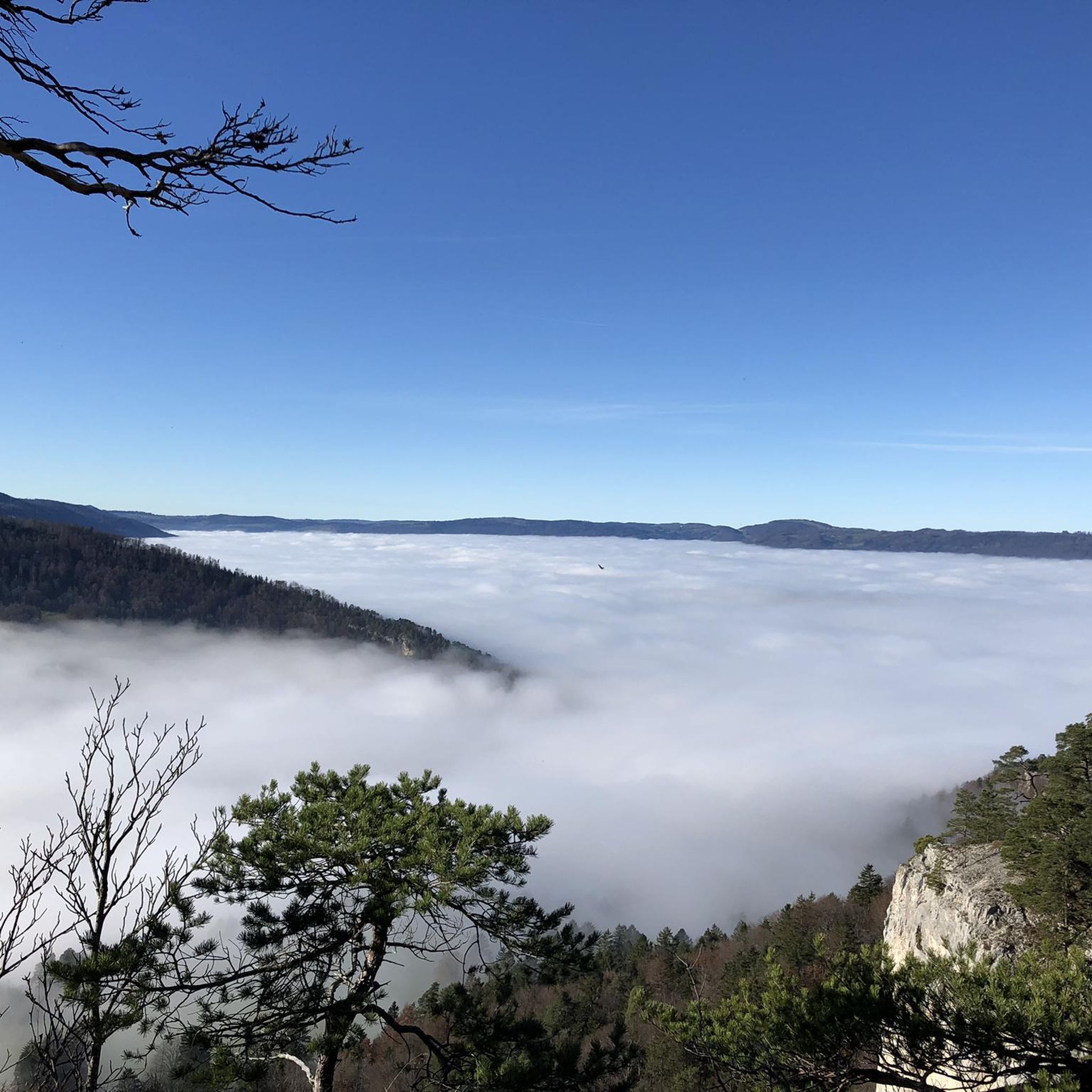
The Ash Trail takes you through forests, meadows and rocky slopes. You'll enjoy panoramic views of the valley and mountains, and have the chance to spot wildlife, such as chamois, deer and birds.
3
0
From this highest point of the Ash Trail you can enjoy a beautiful panoramic view. An ideal place to enjoy the sunrise or sunset. You choose.
3
0

Chic old town with cafes and ice cream shops to pause on the tour. The parish church of Saint-Marcel was built between 1762 and 1767 on the site of a late Gothic sanctuary according to plans by Pierre-François Paris and slightly modified by the builders. Source and more: https://assets.delemont.ch/fr/Tourisme-culture-et-loisirs/Visiter/Points-d-interets-1/Eglise-Saint-Marcel.html
2
0

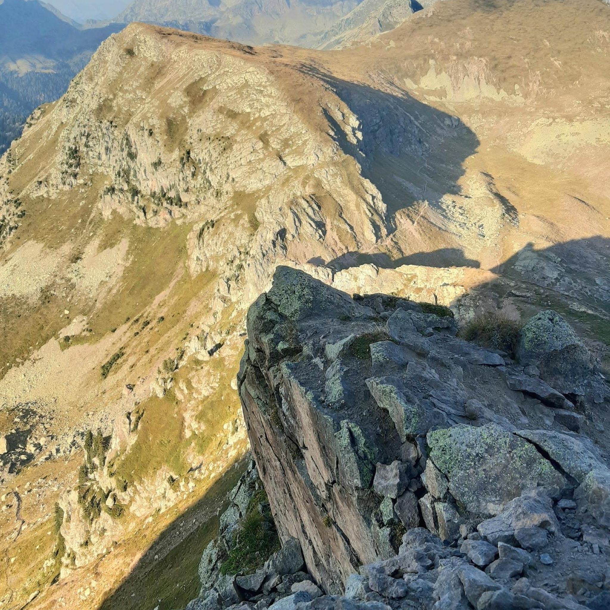
Very special corner above Courrendlin with a very nice view.
1
0

When the weather is nice (better than where I am...), wonderful deep and far-reaching views. As written on the board, the rock spur is called "Rochers du midi".
1
0
Very little known and lost place. Very pretty when the weather is nice.
1
0

Very hospitable, cuisine de ceur with distinction! Enjoyed a coupe Nesselrode finely seasoned with some cinnamon; harmonized perfectly with the vermicelles.
0
0
Frequently Asked Questions
How many running routes are available around Courrendlin?
There are over 10 dedicated running routes in the Courrendlin area, catering to various fitness levels. These include easy, moderate, and difficult trails, ensuring there's something for every runner.
Are there any easy running routes suitable for beginners in Courrendlin?
Yes, for those seeking a gentler run, the Running loop from District de Delémont offers an easy 4.9 km (3 miles) path with minimal elevation gain, perfect for beginners or a relaxed jog.
What kind of terrain can I expect on the running trails in Courrendlin?
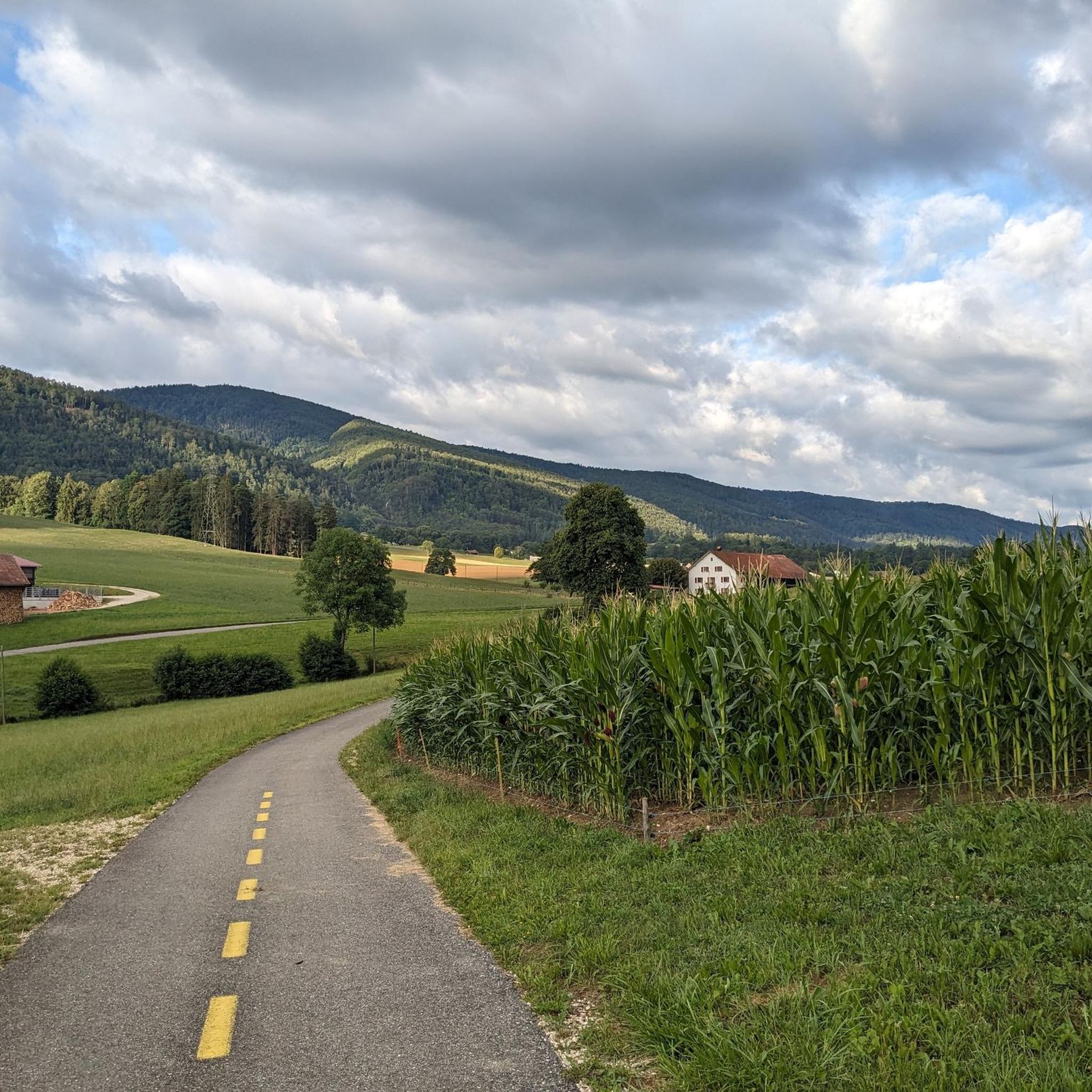
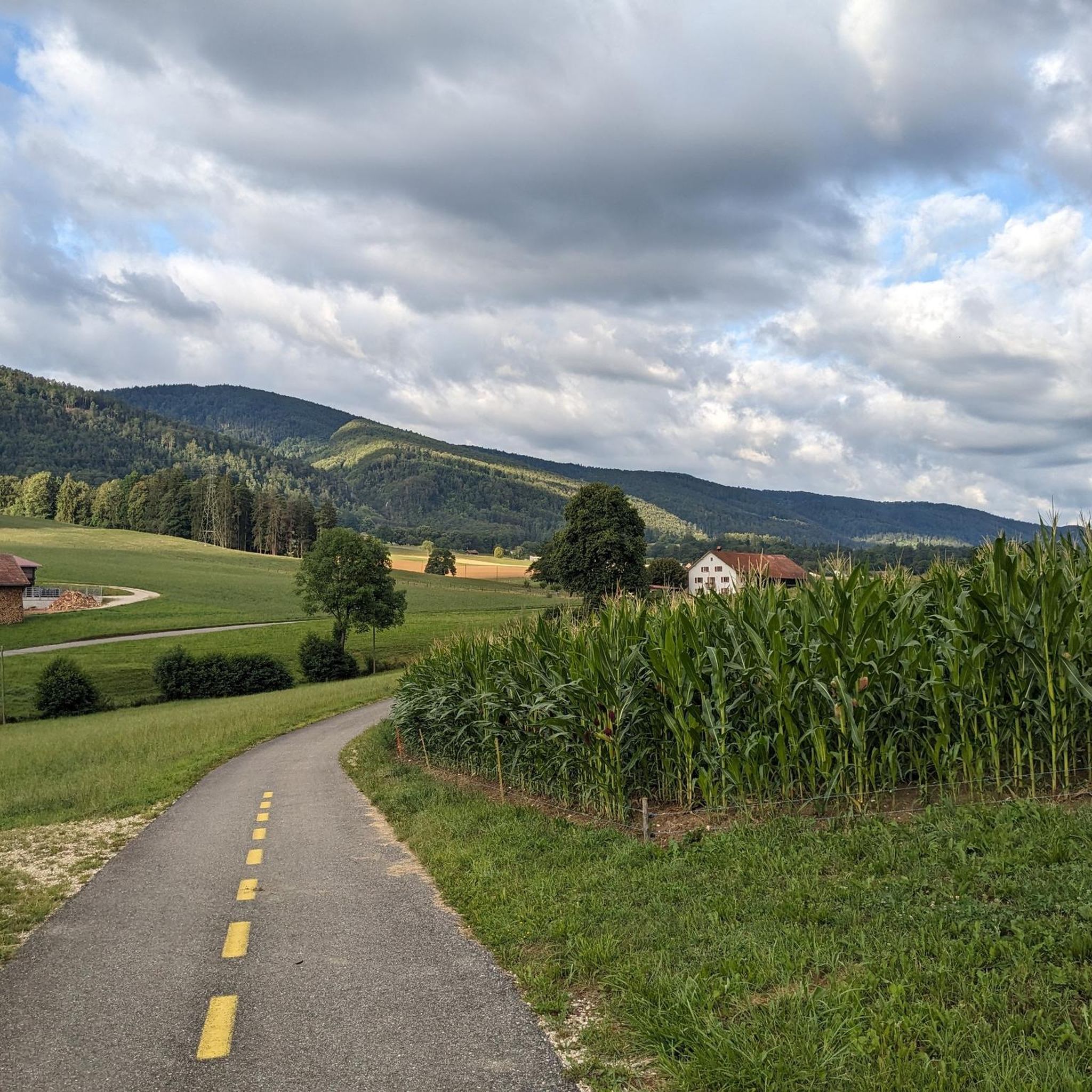
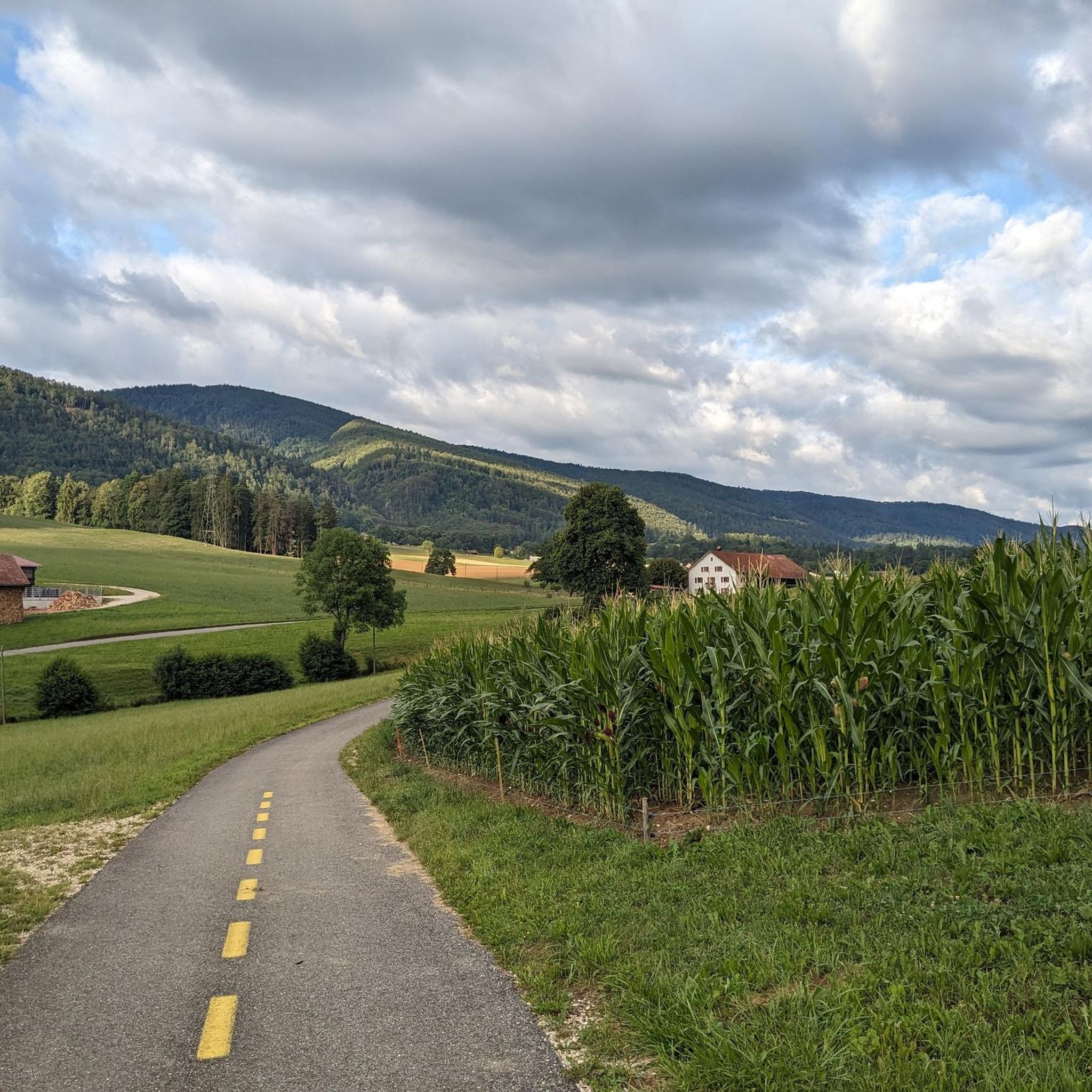
Courrendlin offers a diverse range of terrains. You'll find relatively flat paths along the Birse valley and Delémont plain, often on paved surfaces. For more challenging runs, the trails extend into the surrounding Jura Mountains, featuring significant elevation changes and forested paths, such as those in the Forêt de la Cendre.
Are there any challenging trails for experienced runners in the Courrendlin region?
Absolutely. Experienced runners can tackle demanding routes like the Rebeutz Cave and Forest Trail loop from Vellerat, a difficult 10.7 km (6.7 miles) path with considerable elevation gain through forested landscapes. Another challenging option is the Sentier de la Cendre – Viewpoint loop from Courrendlin, which covers 15.5 km (9.6 miles) with significant ascents.
What do other runners think about the trails in Courrendlin?
The running routes around Courrendlin are highly regarded by the komoot community, boasting an average rating of 4.6 out of 5 stars from over 60 reviews. Runners frequently praise the varied terrain, beautiful natural scenery, and well-maintained paths.
Are there any running routes that offer panoramic views or viewpoints?
Yes, many trails in the mountainous areas provide stunning vistas. The Sentier de la Cendre – Viewpoint loop from Courrendlin is specifically named for its scenic viewpoints. Additionally, higher peaks like Mont Raimeux offer observation towers and panoramic views, which can be incorporated into longer, more challenging runs.
Can I find any circular running routes starting from Courrendlin?
Yes, Courrendlin is an excellent starting point for circular running routes. A popular option is the Running loop from Courrendlin, which is a moderate 6.4 km (4 miles) trail, often on paved surfaces, perfect for a comfortable round trip.
Are there any natural attractions or landmarks to see while running near Courrendlin?
The region is rich in natural beauty. You can explore dramatic gorges such as the Gorges de Court or the Gabiare Valley. There's also a beautiful Waterfall in Gore Virat. For mountain views, the Mont Raimeux Observation Tower and Viewpoint offers spectacular panoramas.
What are the best times of year to go jogging in Courrendlin?
Courrendlin is enjoyable for jogging throughout much of the year. Spring and autumn offer pleasant temperatures and vibrant scenery. Summer provides shaded forest trails, while winter can transform the landscape into a picturesque setting, though some higher trails might require appropriate gear or be less accessible.
Are there any running routes that pass through forests?
Yes, nearly 40% of Courrendlin's municipal area is forested, providing numerous opportunities for shaded and serene runs. The Rebeutz Cave and Forest Trail loop from Vellerat and the Sentier de la Cendre – Viewpoint loop from Courrendlin are excellent examples of routes that immerse you in the region's dense forests.
Can I find routes suitable for a longer distance run in Courrendlin?
For longer runs, the region offers extensive options. Courrendlin is a key point along the multi-stage 'Valdorée' route, which provides varied landscapes and untarmacked paths. Stages like Montsevelier to Courrendlin (19.3 km) or Courrendlin to Glovelier (19.4 km) indicate ample mileage for distance runners looking for scenic, extended jogs.
Most popular routes around Courrendlin
Most popular attractions around Courrendlin

Get inspired with the komoot mobile app


Explore more
Browse the best Running Trails & Routes in other regions.
