The best running trails around Boussenac
4.2
(11)
565
runners
39
runs
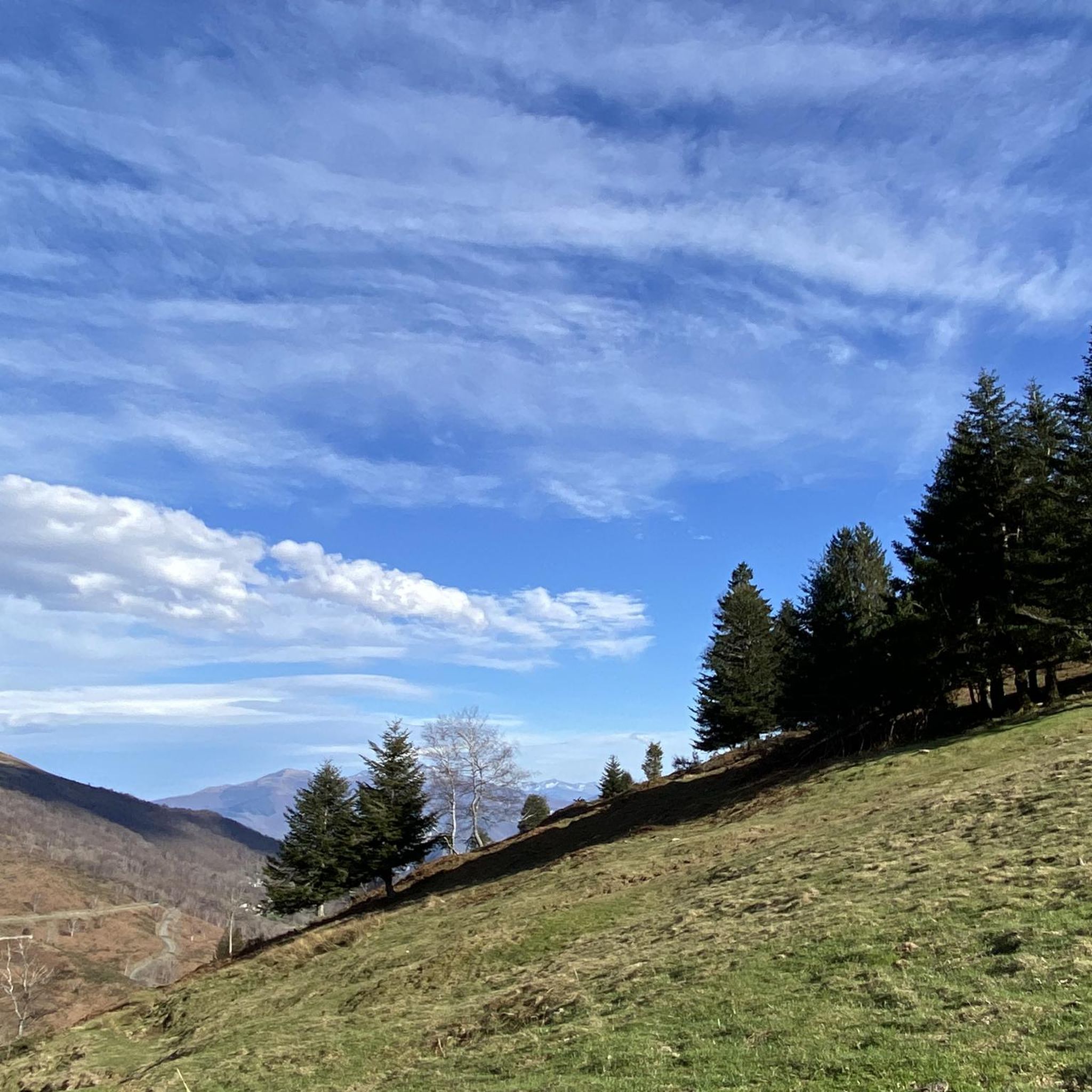
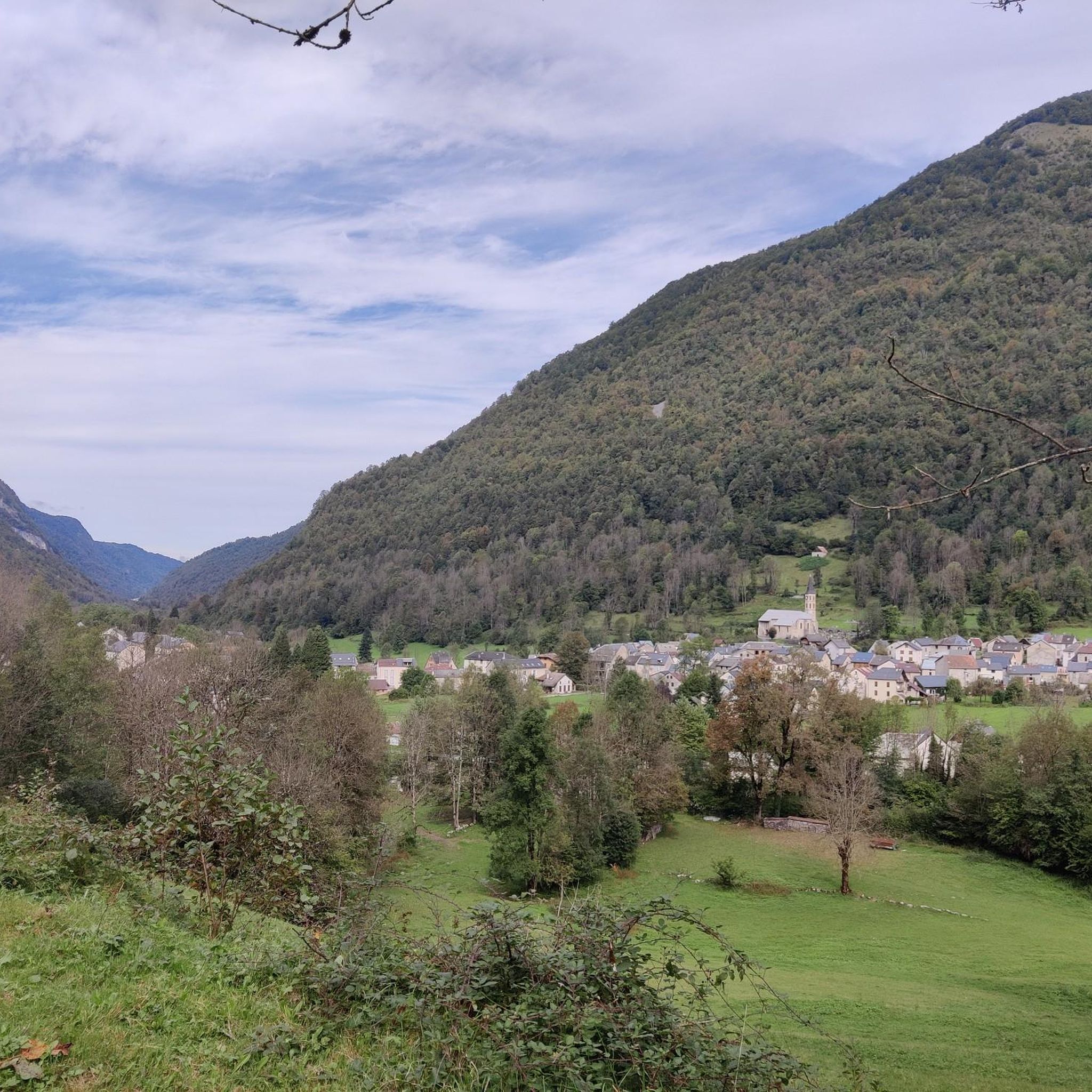
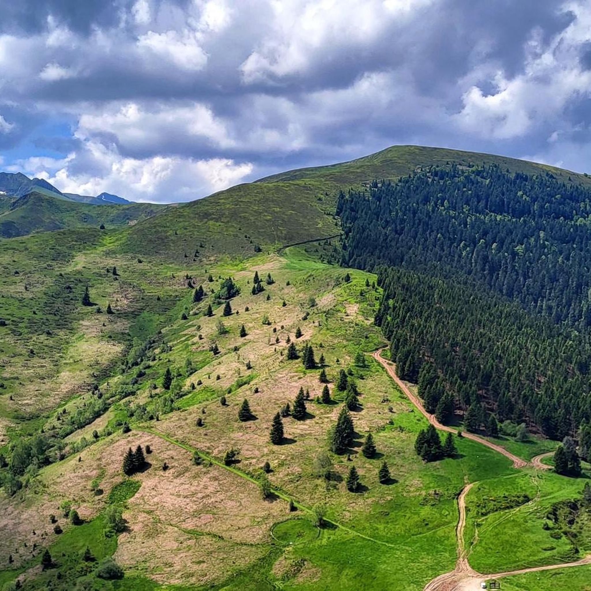
Jogging routes around Boussenac traverse a landscape characterized by the foothills of the Pyrenees, featuring significant elevation changes and forested areas. The region offers a mix of challenging mountain trails and scenic loops, often leading through natural parks. Runners can expect varied terrain, from winding forest paths to open sections with panoramic views.
Best jogging routes around Boussenac
- The most popular jogging route is Le cap du Carmil – trail starting from Col des Marrous – Parc naturel régional des…
Last updated: October 7, 2026
24
runners
Hard run. Very good fitness required. Mostly paved surfaces. Suitable for all skill levels.
7
runners
6.56km
00:55
210m
210m
Hard run. Good fitness required. Sure-footedness, sturdy shoes and alpine experience required.

6
runners
9.80km
01:14
450m
450m
Hard run. Very good fitness required. Mostly paved surfaces. Suitable for all skill levels.
5
runners
5.84km
00:50
260m
260m
Moderate run. Good fitness required. Mostly paved surfaces. Suitable for all skill levels.
7
runners
17.4km
02:23
670m
670m
Hard run. Very good fitness required. Mostly paved surfaces. Suitable for all skill levels.
Get access to more routes and recommendations from other explorers.
Already have an account?
Our route recommendations are based on thousands of hikes, rides, and runs completed by other people on komoot.
Start today with a free account
Your next adventure awaits.

Tips from the Community

Difficult climb for the last 3 km with a maximum gradient of 18%. You need suitable gearing, 34/34 is good. And be in shape!!!
0
0

From the Cap du Carmil, enjoy an exceptional panorama of the Ariège Pyrenees and the surrounding valleys. A viewpoint that is well worth the climb. At the summit, your gaze extends far over the mountains and forests of Ariège. An unmissable spot for lovers of wide-open spaces.
1
0

I climbed it from its easier side, the one that starts from Foix and stretches for 28 kms, crossing the Col de Marrous. It's a steady climb, with a few tough kilometers, and very pleasant. It's the side used by the Tour de France to descend it. The best thing about the Mur de Peguère are the views from its summit.
1
0


Magnificent site with a 360° panorama of the cross-border chain and valleys.
1
0

The Col de Péguère, called Mur de Péguère since the Tour de France, is a Pyrenean road pass in the Arize massif, located on the border of the municipal territories of Boussenac and Sentenac-de-Sérou, in Ariège.
2
0

With 18% in the climb in places, the road to the Col de Péguère lives up to its nickname of wall. It's a real challenge, even for experienced cyclists. In the end, the reward is there: splendid views of the mountains.
2
0

Magnificent panorama from a summit of Cap du Carmil
1
0
Frequently Asked Questions
How many running routes are available around Boussenac?
There are over 40 running routes documented around Boussenac on komoot, offering a wide range of options for different fitness levels.
Are there any easy running routes for beginners in Boussenac?
The running routes around Boussenac are generally challenging, characterized by the foothills of the Pyrenees. Most routes are rated as moderate or difficult, with significant elevation changes. There are no routes currently classified as easy, so beginners should be prepared for hilly terrain.
What is the typical duration for running trails in Boussenac?
The duration for running trails in Boussenac varies significantly depending on the route's length and difficulty. For example, the difficult Le cap du Carmil – trail starting from Col des Marrous, which is 8.4 miles (13.5 km), typically takes around 1 hour 58 minutes. Shorter, difficult routes like Running loop from Massat (4.1 miles / 6.6 km) can be completed in about 55 minutes.
Are there circular running loops available in the Boussenac area?
Yes, many running routes around Boussenac are designed as circular loops. Examples include the challenging Pic d'Estibat – Turon Ner loop from Col de Port and the Le Picou loop from Le Bosc, both offering varied terrain and scenic views.
What kind of terrain can I expect on the running trails around Boussenac?
The terrain around Boussenac is diverse, ranging from winding forest paths to open sections with panoramic views. Runners will encounter significant elevation changes, as the region is characterized by the foothills of the Pyrenees. Expect a mix of natural trails, often leading through regional natural parks.
When is the best time of year to go running in Boussenac?
The Pyrenees foothills offer distinct seasonal experiences. Spring and autumn generally provide pleasant temperatures and vibrant scenery, ideal for running. Summer can be warm, especially at lower elevations, while winter running might involve colder temperatures and potentially snow at higher altitudes, requiring appropriate gear.
Are there any running routes with scenic viewpoints or landmarks?
Absolutely. The region around Boussenac is rich in natural beauty. Many routes offer stunning views of the surrounding peaks. You might encounter highlights such as Lers Pass or Cap du Carmil, which provide excellent vantage points. The Pic d'Estibat – Turon Ner loop, for instance, is known for its views of the surrounding peaks.
What do other runners enjoy most about the trails in Boussenac?
The running trails in Boussenac are highly rated by the komoot community, with an average score of 4.0 stars from over 10 reviews. Runners often praise the challenging ascents, the diverse mountain and forested paths, and the rewarding panoramic views of the Pyrenees Ariégeoises.
Can I bring my dog on the running trails around Boussenac?
Many natural areas in France, including regional natural parks like the Parc naturel régional des Pyrénées Ariégeoises, generally permit dogs on trails, often requiring them to be on a leash. It's always advisable to check specific local regulations or park rules for the particular route you plan to run to ensure a dog-friendly experience.
Are there any longer distance running trails for experienced runners?
Yes, Boussenac offers several longer and more challenging routes suitable for experienced runners. The Le cap du Carmil – trail starting from Col des Marrous is a difficult 8.4-mile (13.5 km) trail with substantial elevation gain, perfect for those seeking a longer, demanding run.
What are some notable natural attractions near the running routes?
Beyond the trails themselves, the region boasts several natural attractions. You can explore the Lers Pass, enjoy the views from Lers Pond, or even spot the Three Lords' Peak. These natural monuments add to the scenic beauty of your run.
Most popular attractions around Boussenac

Get inspired with the komoot mobile app


Explore more
Browse the best Running Trails & Routes in other regions.
