The best walks and hikes around Saint-Lactencin
4.1
(32)
137
hikers
23
hikes
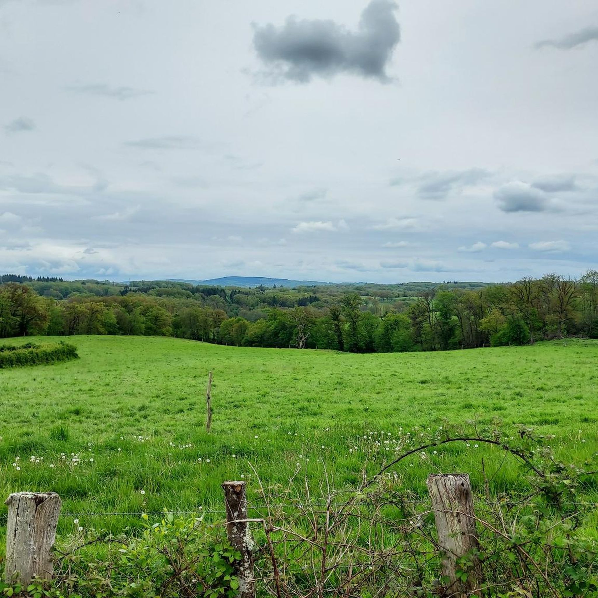
Hiking around Saint-Lactencin, located in the Indre department of France's Centre-Loire Valley, offers exploration of a rural landscape. The region is characterized by extensive agricultural lands, with natural features such as the Ruisseau de la Grosse Planche. Trails often connect to historical buildings like the Château de la Brosse and Château de Marécreux, providing insight into the local heritage. The area's proximity to the Brenne Regional Natural Park, known for its lakes and fields, suggests a wider network of outdoor…
Last updated: October 9, 2026
3.5
(2)
7
hikers
7.02km
01:47
20m
20m
Hike the easy 4.4 miles (7.0 km) La Pierre Dolmen Loop, exploring ancient megalithic structures and diverse natural landscapes in 1 hour and
4.3
(3)
26
hikers
3.38km
00:51
0m
0m
Easy hike. Great for any fitness level. Easily-accessible paths. Suitable for all skill levels.

3.0
(2)
5
hikers
11.4km
02:59
80m
80m
Moderate hike. Good fitness required. Easily-accessible paths. Suitable for all skill levels.
4.7
(3)
4
hikers
5.42km
01:23
20m
20m
Easy hike. Great for any fitness level. Easily-accessible paths. Suitable for all skill levels.
4.0
(1)
4
hikers
16.2km
04:12
100m
100m
Moderate hike. Good fitness required. Easily-accessible paths. Suitable for all skill levels.
Get access to more routes and recommendations from other explorers.
Already have an account?
Our route recommendations are based on thousands of hikes, rides, and runs completed by other people on komoot.
Start today with a free account
Your next adventure awaits.



Tips from the Community

Don't expect a Stonehenge scene here, but rather a handful of weathered stones that have stood in place for thousands of years. To be honest, it's not much to look at visually. But with a little imagination, you can find yourself face to face with prehistory, all set in the tranquil French countryside. Stop for a moment, smile, and then continue your walk.
1
0

Located on the borders of Brenne, Champagne and Berrichonne Boischaut Nord Buzançais presents the assets of a country with varied landscapes and architectural heritage from its rich past. The Parish of Buzançais is generally open. To contact them for opening hours: 02 54 84 05 19
0
0

In the Middle Ages, the parish was originally located in Saint-Étienne, until the construction of the castle in Buzançais. The castle created a center of attraction, and the village gradually moved almost entirely
0
0

The dolmen is 6 m long and 4.20 m wide with a maximum height of 1.60 m. The whole forms a funerary chamber 5.80 m long and 2.30 m wide, which reaches 1.30 m at its greatest height under the slab. All the slabs are in sandstone and come from Bagneux or Dun-le-Poëlier, towns more than 30 km away.
2
0
Frequently Asked Questions
How many hiking trails are available around Saint-Lactencin?
There are over 25 hiking routes around Saint-Lactencin. These include a mix of easy and moderate trails, with 16 easy routes and 11 moderate options, ensuring there's something for various fitness levels.
What kind of terrain can I expect on hikes in Saint-Lactencin?
The terrain around Saint-Lactencin is primarily characterized by extensive agricultural lands. You'll often traverse open fields, with paths that may include sections alongside streams like the Ruisseau de la Grosse Planche. The region's rural charm means generally gentle gradients.
Are there any circular hiking routes in the area?
Yes, many of the trails around Saint-Lactencin are circular. For example, the Levroux loop is a popular 14.2 km circular route, and the La Pierre Dolmen Loop offers a shorter 7 km circular option.
What historical landmarks can I see while hiking near Saint-Lactencin?
Several trails pass by significant historical sites. The 14.67 km loop originating from Saint-Lactencin town hall, for instance, allows you to encounter the Château de la Brosse and the Château de Marécreux. You can also explore the La Pierre Dolmen and Cromlech, or the Saint-Sylvain Collegiate Church and Porte de Champagne near Levroux.
Are there family-friendly hiking options in Saint-Lactencin?
Yes, Saint-Lactencin offers several easy routes suitable for families. The Étang de la Vienne loop from Étang de la Vienne is a short 3.4 km trail, perfect for a leisurely family walk around the lake, typically completed in under an hour.
What natural features can be found on the hiking trails?
Beyond the agricultural landscapes, you'll encounter natural features such as the Ruisseau de la Grosse Planche, a stream that can be crossed via an improvised footbridge on some local trails. The area's proximity to the Brenne Regional Natural Park also means a landscape rich in small lakes and fields, offering diverse natural scenery.
Is Saint-Lactencin a good base for exploring other natural areas?
Absolutely. Saint-Lactencin's location makes it an excellent base for exploring the wider region. The Brenne Regional Natural Park, known for its numerous small lakes and fields, is just 26 km away, offering additional opportunities for outdoor activities.
What do other hikers say about the trails in Saint-Lactencin?
The routes in Saint-Lactencin are highly rated by the komoot community, with an average score of 4.4 stars from over 20 reviews. More than 120 hikers have used komoot to explore the varied terrain, often praising the peaceful rural atmosphere and well-maintained paths.
Are there any specific trails that feature a dolmen or cromlech?
Yes, the La Pierre Dolmen Loop is an easy 7 km path that specifically highlights the La Pierre Dolmen and Cromlech, offering a unique historical point of interest along your hike.
What is the best time of year to go hiking in Saint-Lactencin?
The Centre-Loire Valley region generally offers pleasant hiking conditions from spring through autumn. Spring brings blooming landscapes, while autumn provides comfortable temperatures and beautiful foliage. Summer can be warm, but early mornings or late afternoons are still enjoyable.
Are there any easy routes for beginners or those looking for a short walk?
Yes, there are plenty of easy options. The La Pierre Dolmen Loop is an easy 7 km path, and the Étang de la Vienne loop from Étang de la Vienne is even shorter at 3.4 km, both ideal for beginners or a quick stroll.
Are there places to eat or stay near the hiking trails in Saint-Lactencin?
While Saint-Lactencin itself is a rural commune, the surrounding towns and villages offer options for dining and accommodation. You might find cafes, pubs, or restaurants in nearby larger settlements like Villedieu-sur-Indre or Buzançais, which are accessible from the area.
Most popular attractions around Saint-Lactencin

Get inspired with the komoot mobile app


Explore more
Browse the best Hikes in other regions.
