The best cycling routes around La Robine-Sur-Galabre
4.5
(88)
1,903
riders
82
rides
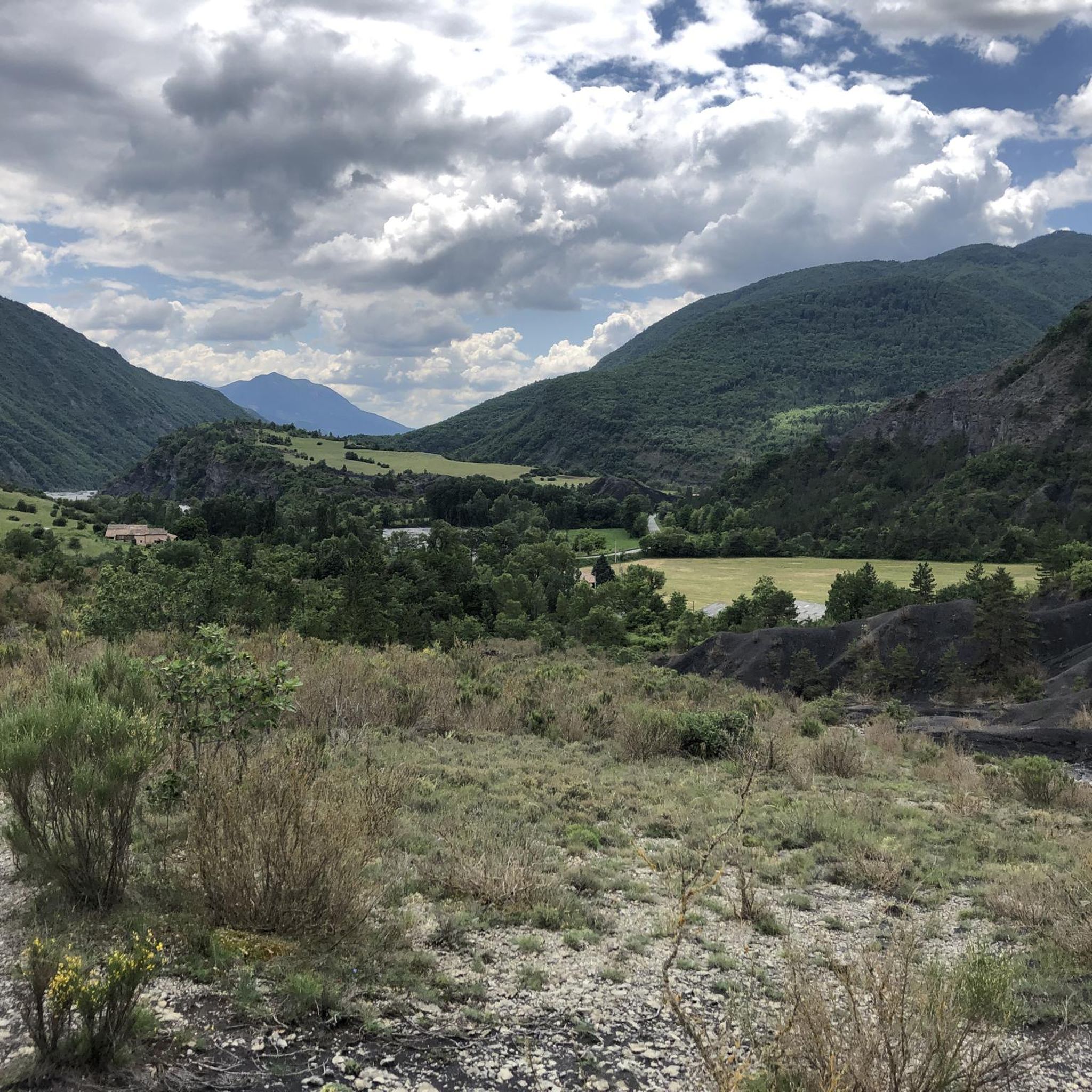
Touring cycling routes around La Robine-Sur-Galabre traverse a landscape characterized by the rugged terrain of the Haute-Provence Geological Nature Reserve. The region features numerous mountain passes, known as "cols," and deep gorges, offering varied elevation changes. This area is defined by its geological formations and a mix of open and forested sections, providing diverse cycling environments.
Best touring cycling routes around La Robine-Sur-Galabre
- The most popular touring cycling route is Col du Pas de Bonnet depuis Thoard – gravel loop…
Last updated: October 12, 2026
4.1
(7)
65
riders
Hard bike ride. Very good fitness required. Some segments of this route may be unpaved and difficult to ride.
5.0
(1)
28
riders
38.4km
02:37
650m
650m
Hard bike ride. Very good fitness required. Mostly paved surfaces. Suitable for all skill levels.

19
riders
29.6km
03:02
880m
880m
Hard bike ride. Very good fitness required. You may need to push your bike for some segments of this route.
15
riders
48.3km
03:26
1,000m
1,000m
Hard bike ride. Very good fitness required. Mostly paved surfaces. Suitable for all skill levels.
5.0
(1)
16
riders
25.2km
01:54
640m
640m
Hard bike ride. Very good fitness required. Mostly paved surfaces. Suitable for all skill levels.
Get access to more routes and recommendations from other explorers.
Already have an account?
Our route recommendations are based on thousands of hikes, rides, and runs completed by other people on komoot.
Start today with a free account
Your next adventure awaits.
Popular around La Robine-Sur-Galabre
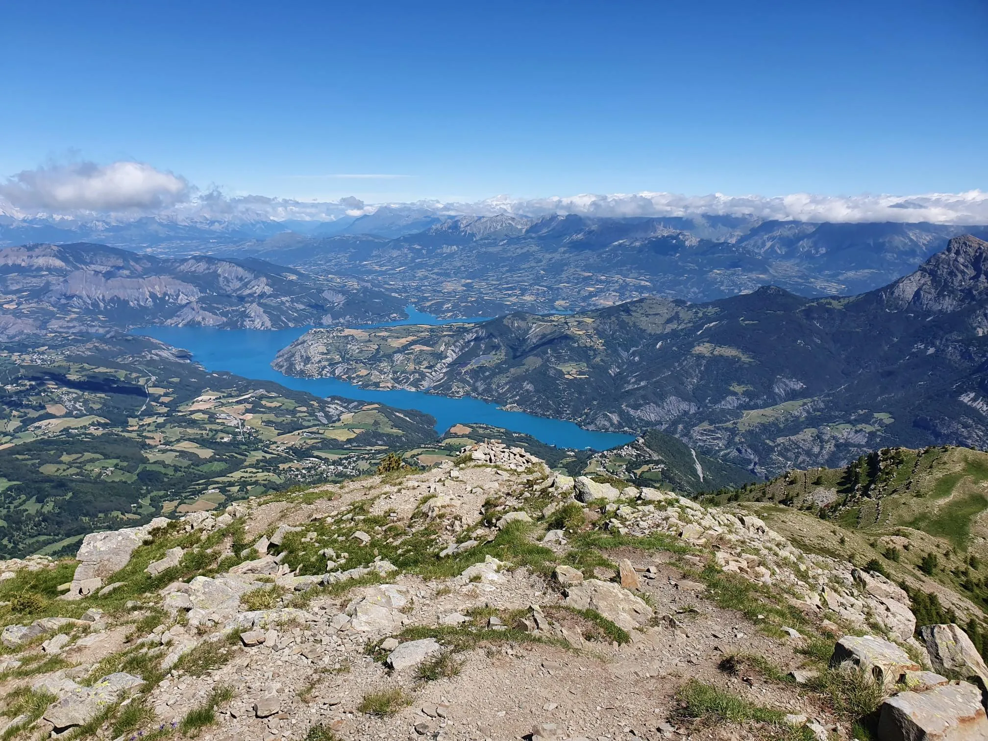
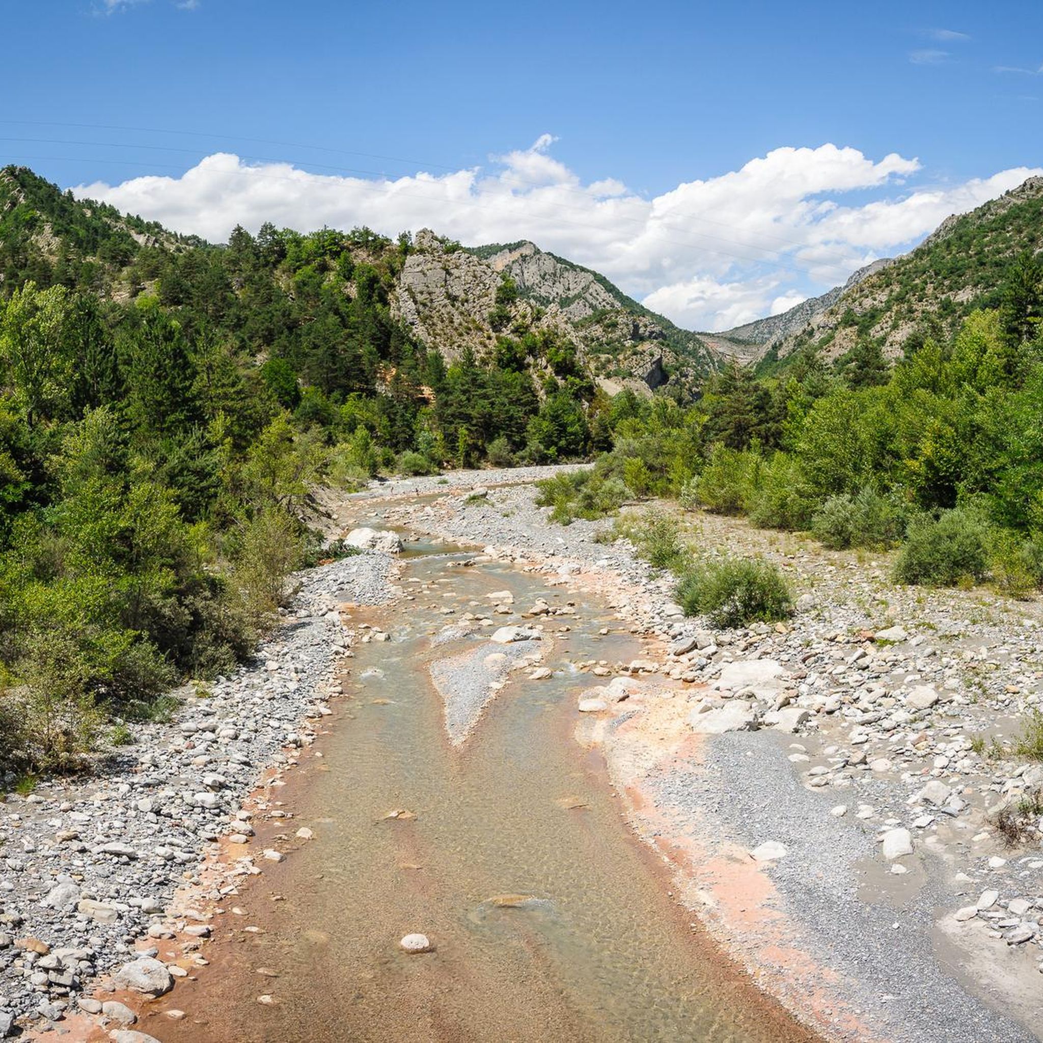
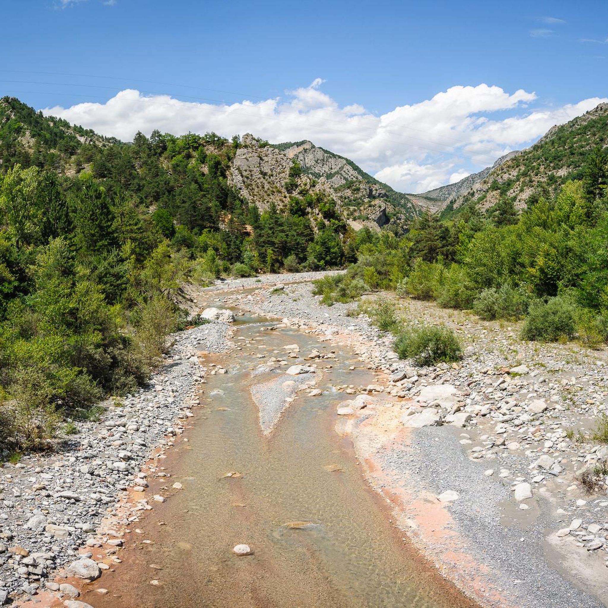
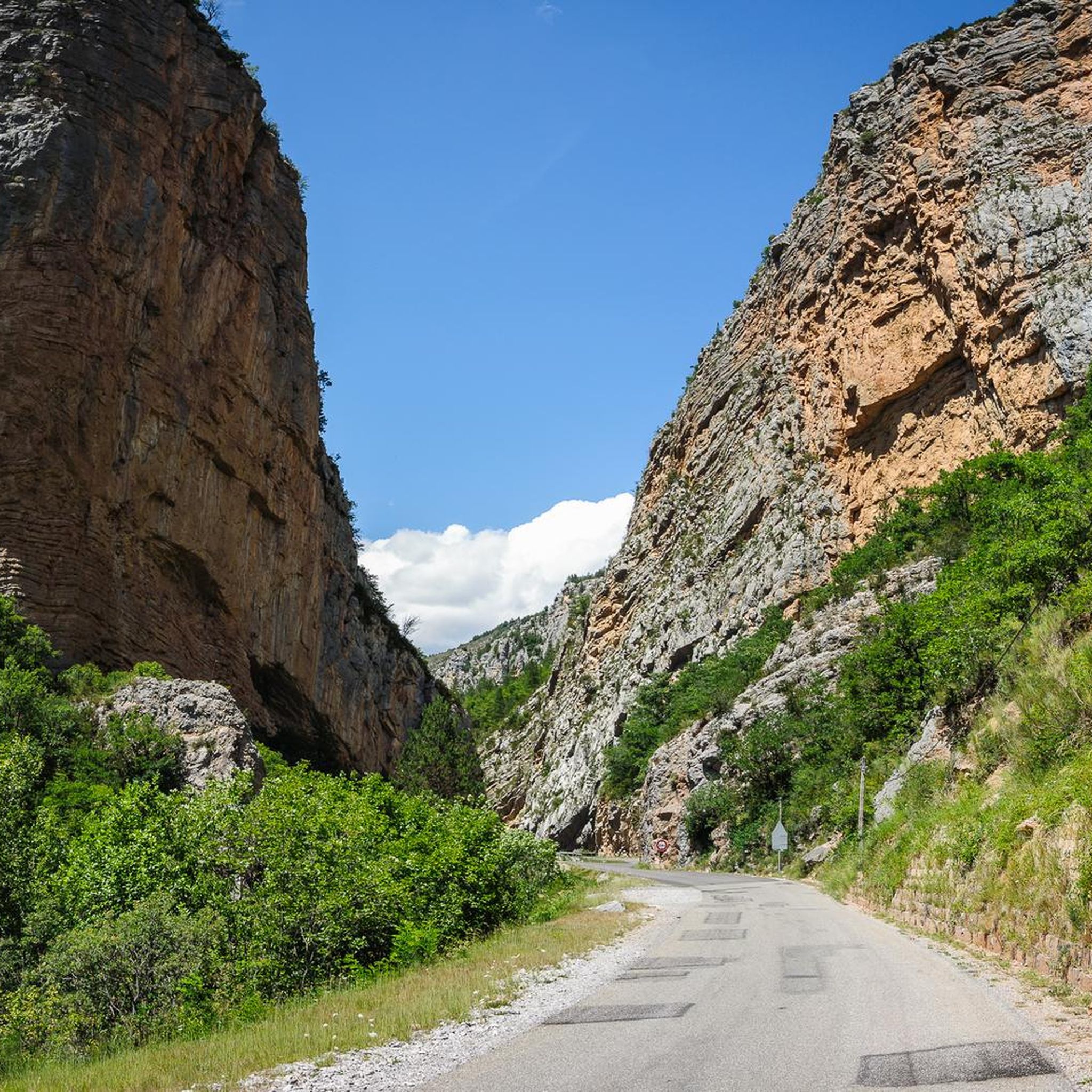

Other adventures around La Robine-Sur-Galabre

Tips from the Community

It's a dream to ride through here. I recommend getting there early and starting at the Col du Fanget, so it's a constant descent. Breathtakingly beautiful!
0
0

climb suitable for everyone, with very gentle and regular slopes
0
0

The climb up this hill is very beautiful, with sections with difficult slopes.
13
0
At a certain point you find yourself in front of these two giants and you can't help but stop and admire them.
13
0
The canyon is something exceptional
12
0
Obligatory photo when you arrive at this waterfall.
11
0
A hill with excellent asphalt and sometimes difficult slopes.
11
0
Truly stupendous panorama, it leaves you breathless.
9
0
Frequently Asked Questions
How many touring cycling routes are available in La Robine-Sur-Galabre?
There are over 70 touring cycling routes around La Robine-Sur-Galabre, offering a wide range of options for different skill levels and preferences. The region is known for its challenging mountain passes and scenic gorges.
Are there any easy touring cycling routes for beginners?
While many routes in La Robine-Sur-Galabre are challenging, there are 6 easy touring cycling routes available. These are generally shorter and have less elevation gain, making them suitable for beginners or those looking for a more relaxed ride.
What are some of the more challenging touring cycling routes in the area?
For experienced touring cyclists seeking a challenge, the region offers 52 difficult routes. An example is the Thoard – Fontbelle Pass loop from Thoard, which features significant elevation changes over its 16.4 miles (26.3 km) distance.
What kind of natural attractions can I see along the touring cycling routes?
The routes often pass through the rugged terrain of the Haute-Provence Geological Nature Reserve. You can encounter geological formations, deep gorges, and mountain passes. Notable natural highlights include the Saut de la Pie Waterfall and various mountain passes like Col du Pas de Bonnet (886 m) and Col du Labouret.
Are there any cultural or historical landmarks to explore near the routes?
Yes, the region offers charming settlements and points of interest. You might pass through or near towns like Digne-les-Bains or Thoard, which offer glimpses into local life and history. The routes themselves are set within a landscape shaped by geological history.
What do other touring cyclists say about the routes in La Robine-Sur-Galabre?
The touring cycling routes in La Robine-Sur-Galabre are highly rated by the komoot community, with an average score of 4.4 stars from over 80 reviews. Cyclists often praise the challenging mountain passes, the stunning geological formations, and the diverse scenic environments.
What is the best season for touring cycling in La Robine-Sur-Galabre?
The best time for touring cycling is generally from late spring to early autumn (May to October). During these months, the weather is more stable, and mountain passes are typically clear of snow, offering optimal conditions for exploring the varied terrain.
Are there any circular touring cycling routes available?
Many of the touring cycling routes in La Robine-Sur-Galabre are designed as loops, allowing you to start and end at the same point. An example is the View of the Village – Thoard loop from Thoard, which offers a moderate 20.1 miles (32.4 km) ride.
Can I bring my dog on the touring cycling routes?
Generally, dogs are allowed on most public trails in the region, especially if kept on a leash. However, as many routes traverse the Haute-Provence Geological Nature Reserve, it's always advisable to check specific regulations for protected areas to ensure a pleasant experience for everyone.
Are there options for long-distance touring cycling?
Yes, for those looking for longer rides, routes like the Col du Fanget (1,459 m) – Pérouré Gorge loop from Ichtyosaure offer a substantial challenge, covering 30.0 miles (48.3 km) with significant elevation gain through high mountain passes and a notable gorge.
Is public transport available to access the touring cycling routes?
Public transport options directly to trailheads in this rugged, mountainous region can be limited. It's often more practical to arrive by car and utilize parking facilities in towns like Thoard, which serve as common starting points for many routes.
What are the typical durations for touring cycling routes in this area?
Route durations vary significantly based on distance, elevation, and your cycling pace. For example, the popular Col du Pas de Bonnet depuis Thoard – gravel loop – Haute-Provence Geological Nature Reserve typically takes around 2 hours 23 minutes to complete its 22.3 miles (36.0 km).
Most popular routes around La Robine-Sur-Galabre
Most popular attractions around La Robine-Sur-Galabre

Get inspired with the komoot mobile app


Explore more
Browse the best Cycling routes in other regions.
