The best road cycling routes around Alando
4.8
(38)
499
riders
5
rides
Road cycling routes around Alando, situated in the Haute-Corse department of Corsica, feature varied elevations from 480 to 1040 meters, offering a dynamic environment for cyclists. The region is characterized by numerous valleys and medium mountain ridges, providing a mix of challenging climbs and scenic descents. As part of the Corsica Regional Natural Park, Alando includes protected natural areas with chestnut groves and diverse Mediterranean forests. This topography allows for diverse cycling experiences across different ecological zones.
Best road cycling…
Last updated: July 2, 2026
4.9
(21)
237
riders
48.2km
02:30
870m
870m
Moderate road ride. Good fitness required. Mostly well-paved surfaces and easy to ride.
5.0
(5)
64
riders
56.2km
03:16
1,310m
1,310m
Hard road ride. Very good fitness required. Mostly well-paved surfaces and easy to ride.

Sign up for free
5.0
(2)
38
riders
59.2km
03:15
830m
830m
Moderate road ride. Good fitness required. Some segments of this route may be unpaved and difficult to ride.
4.3
(4)
45
riders
39.6km
02:24
960m
960m
Hard road ride. Very good fitness required. Some segments of this route may be unpaved and difficult to ride.
11
riders
55.0km
03:23
1,440m
1,440m
Hard road ride. Very good fitness required. Mostly well-paved surfaces and easy to ride.
Our route recommendations are based on thousands of hikes, rides, and runs completed by other people on komoot.
Start today with a free account
Your next adventure awaits.
Login or Signup

Tips from the Community

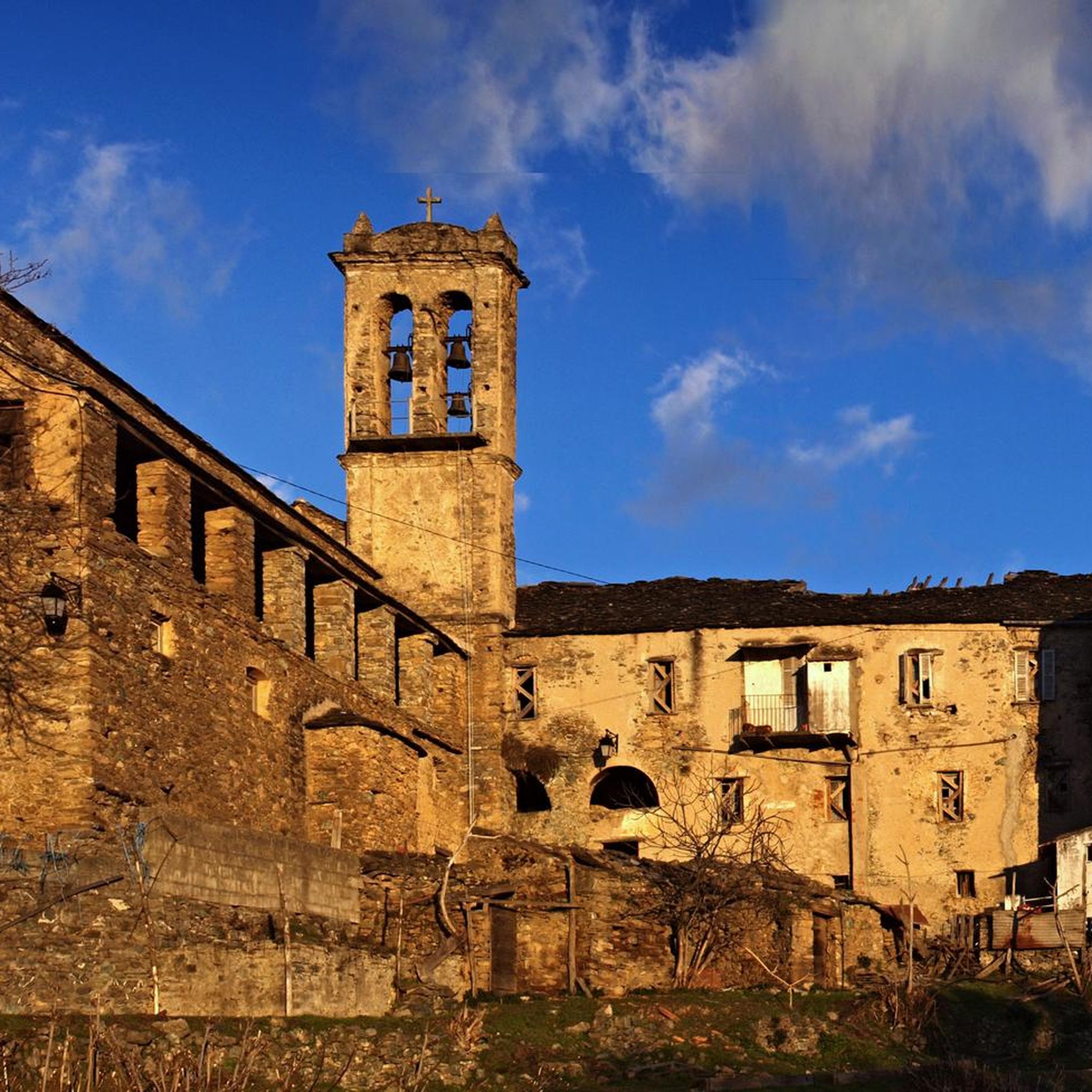
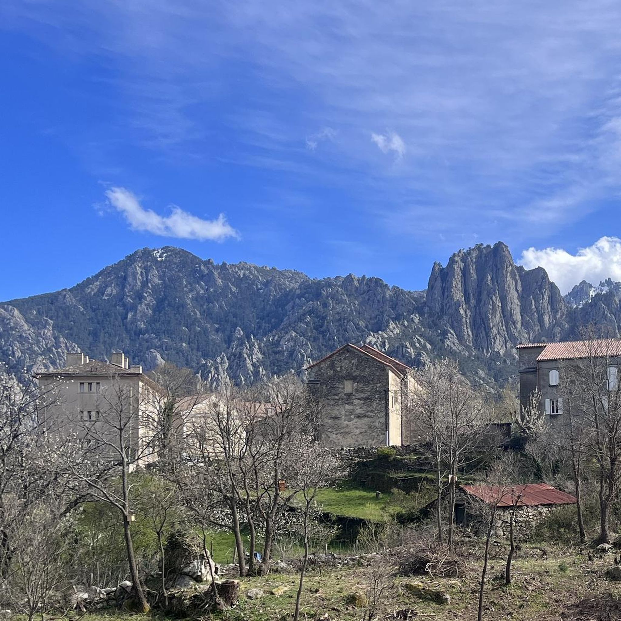
Great starting point for outdoor activities. Often the first stop for whitewater paddlers in spring. Suitable as a starting point for many varied tours for cycling.
0
0


Beautiful route. Very quiet, only local traffic. Beautiful views. Fantastic descent after Bustanico with wide asphalt and gentle curves. 10 km of downhill riding at its finest.
0
0


The Route Forestière 6 was a road in Corsica established in 1854 by the Décret Imperial 1782. It was built to develop one of Corsica's forests for the timber industry. Operated by the state, it had the status of a national road. The F6 branched off from the National Road 198 south of Aléria and led to Vivario. It was 45 kilometers long. It was downgraded in 1973.
1
0
The Vecchio rises on the Monte d'Oro and is initially called Agnone. This river is best known for its Cascades des Anglais, which attract hundreds of tourists every day in high season. From the hamlet of Vizzavona onwards, the river is called Vecchio and you only meet very few people. Shortly after entering Canaglia, it joins the Manganello. Here the Vecchio valley becomes very lonely. On the right-hand side, far above the riverbed, the railway line winds its way along the hills, barely visible. You don't notice the busy T20, which lies behind the hills. You only see it when you get off at the Ponte Vecchio. High above us, it crosses the Vecchio valley on the new bridge. Later, the Vecchio flows into the Tavignano, which reaches the sea near Aléria.
1
0

Not far from the center of Corte, the Tavignanu and Restonica rivers flow together. There is a lovely bathing area under the pedestrian bridge. There is a parking lot right next to the bridge.
0
0

Very nice route in the forest, in the shade. A little more technical on the ridge with some passages in the rocks and downhill, a little slippery. Beautiful views.
1
0
Frequently Asked Questions
How many road cycling routes are available around Alando?
Alando offers a selection of 6 road cycling routes, catering to various skill levels. These routes traverse a landscape of hills and valleys, connecting small villages and providing diverse challenges.
What are the typical difficulty levels for road cycling routes in Alando?
The road cycling routes around Alando feature varied elevations, including significant climbs and descents. You'll find a mix of difficulties: 1 easy route, 3 moderate routes, and 2 difficult routes, ensuring options for different experience levels.
Are there any easy road cycling routes suitable for beginners in Alando?
Yes, there is one easy road cycling route available. While the region is known for varied elevations, this route offers a gentler introduction to road cycling in Alando.
What are some challenging road cycling routes for experienced riders in Alando?
For experienced riders seeking a challenge, routes like the Orezza cloister ruin – La Porta Village loop from Piedicroce (35.2 miles, difficult) and the Viaduct over the Vecchio – View of Vivario loop from Poggio-Riventosa (33.6 miles, difficult) offer significant climbs and descents through varied terrain.
What are the typical lengths of road cycling routes in Alando?
The road cycling routes around Alando vary in length, generally ranging from approximately 18.5 miles (29.7 km) to 35.2 miles (56.6 km). This provides options for both shorter rides and longer, more enduring tours.
Are the road cycling routes around Alando circular?
Many of the road cycling routes in Alando are designed as loops, allowing you to start and finish at the same point. For example, the popular Fontaine - Fountain – Fantastic descent loop from Alando is a circular route.
What scenic viewpoints can I expect along road cycling routes in Alando?
Road cycling routes in Alando offer numerous scenic viewpoints. You might encounter views such as Above Corte or the View of the Valley from Zucca Rello, providing stunning panoramas of the surrounding landscape.
What natural attractions can be seen near the road cycling routes in Alando?
While cycling, you can discover natural attractions like the Struccia Waterfall, or pass by significant landmarks such as Mount San Petrone. The region's diverse terrain ensures a scenic experience.
What historical sites or villages can I explore along the road cycling routes?
The routes often connect small villages and pass by historical sites. For instance, the Orezza cloister ruin – La Porta Village loop from Piedicroce winds through villages and past historical ruins, including the Orezza Monastery Ruins.
What do other road cyclists enjoy most about road cycling in Alando?
The road cycling experience in Alando is highly rated by the komoot community, with an average score of 4.5 stars from over 20 reviews. Cyclists often praise the varied terrain, the challenging climbs, and the scenic views of the hills and valleys.
When is the best time of year for road cycling in Alando?
The best time for road cycling in Alando is typically from spring to autumn. During these seasons, the weather is generally more favorable, offering pleasant temperatures and clearer conditions to enjoy the region's varied elevations and scenic routes.
Are there any routes that offer views of unique structures or bridges?
Yes, the Viaduct over the Vecchio – View of Vivario loop from Poggio-Riventosa offers impressive views of the Vecchio viaduct, an notable architectural feature in the landscape. You might also encounter the Ferriera Bridge on some routes.
Most popular routes around Alando
Most popular attractions around Alando

Get inspired with the komoot mobile app


Explore more
Browse the best Road cycling routes in other regions.
