The best walks and hikes around Prads-Haute-Bléone
4.4
(472)
4,750
hikers
179
hikes
Hiking around Prads-Haute-Bléone offers access to mountainous landscapes within the French Alps. The region is characterized by high peaks, alpine valleys, and significant elevation changes, providing diverse terrain for hikers. Water features like the Bléone river and waterfalls are present, alongside areas of forest and open mountain slopes. These trails provide opportunities to explore the natural environment of Prads-Haute-Bléone.
Best hiking trails around Prads-Haute-Bléone
- The most popular hiking route is Tête de l'Estrop Ascent Trail, a 11.1 miles (17.9…
Last updated: October 10, 2026
9
hikers
17.9km
09:03
1,440m
1,440m
Hard hike. Very good fitness required. Sure-footedness, sturdy shoes and alpine experience required.
4.1
(7)
135
hikers
12.9km
05:07
660m
660m
Hard hike. Very good fitness required. Mostly accessible paths. Sure-footedness required.

5.0
(1)
52
hikers
24.5km
11:40
1,780m
1,780m
Hard hike. Very good fitness required. Mostly accessible paths. Sure-footedness required.
4.0
(3)
21
hikers
13.8km
07:23
1,350m
1,340m
Hard hike. Very good fitness required. Mostly accessible paths. Sure-footedness required.
5.0
(1)
19
hikers
Moderate hike. Good fitness required. Mostly accessible paths. Sure-footedness required.
Get access to more routes and recommendations from other explorers.
Already have an account?
Our route recommendations are based on thousands of hikes, rides, and runs completed by other people on komoot.
Start today with a free account
Your next adventure awaits.
Tips from the Community

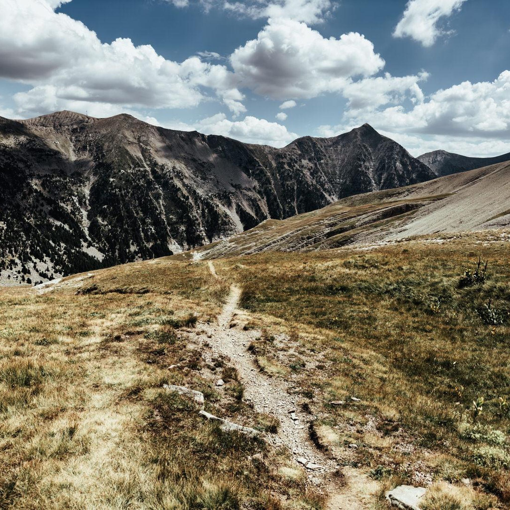
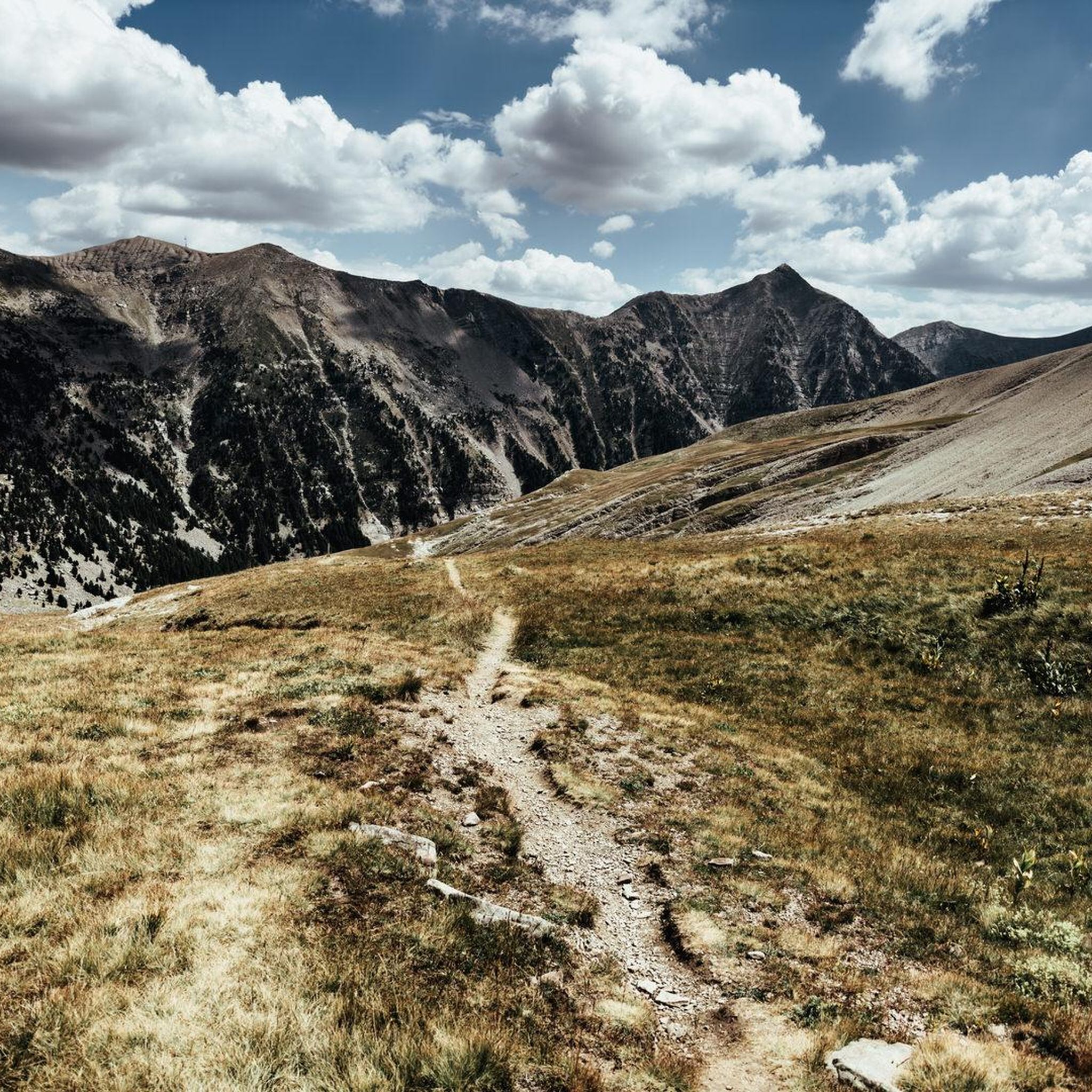
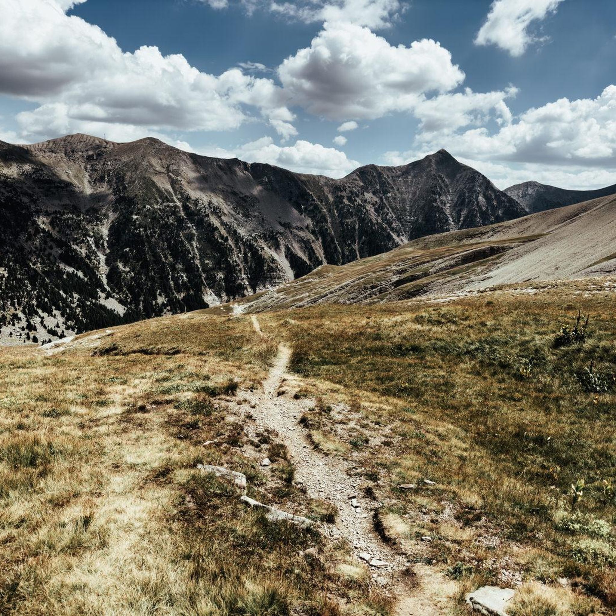
A little-used path, well-colonized by broom, roses, and brambles in the forest section! Sometimes you have to put your hands on the edge of the ridge.
0
0

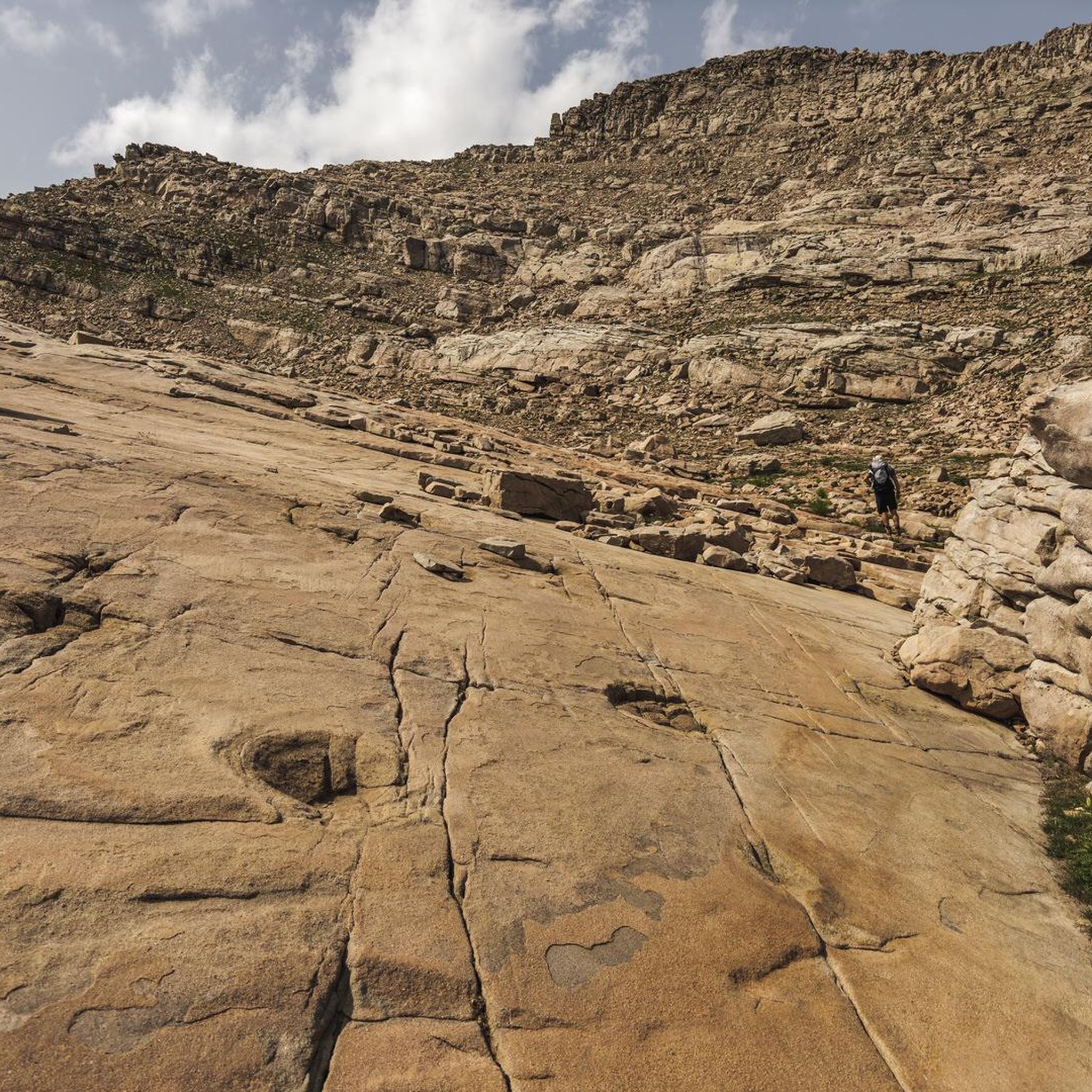
The Tête de l'Estrop culminates at 2962m. This climb is considered one, if not THE toughest in Val d'Allos
2
0

At 2179 meters above sea level, the summit of La Basse is reached by a beautiful ridge hiking circuit that leads us through the forest, along waterfalls and by a pretty alpine refuge. This hike can very well be included in the Tête de l'Estrop hike!
2
0
A lovely hideaway set in a very scenic alpine landscape. Half-board possible. Reservation required: lerefugedelestrop.e-monsite.com
1
1
This beautiful waterfall on the heights of Prayols is located in the forest about one kilometer from the Estrop refuge.
1
1
A lovely hideaway set in a very scenic alpine landscape. Half-board possible. Reservation required: http://lerefugedelestrop.e-monsite.com/
0
1
This beautiful waterfall on the heights of Prayols is located in the forest about one kilometer from the Estrop refuge.
0
1
At 2179 meters above sea level, the summit of La Basse is reached by a beautiful ridge hiking circuit that leads us through the forest, along waterfalls and by a pretty alpine refuge. This hike can very well be included in the Tête de l'Estrop hike!
0
1
Frequently Asked Questions
How many hiking trails are available in Prads-Haute-Bléone?
There are over 170 hiking trails around Prads-Haute-Bléone, offering a wide range of options for different skill levels. You'll find everything from easy strolls to challenging alpine ascents.
Are there easy hikes suitable for beginners in Prads-Haute-Bléone?
Yes, Prads-Haute-Bléone offers 28 easy hiking routes. These trails are generally shorter with less elevation gain, perfect for those new to hiking or looking for a relaxed walk. While specific easy routes are not highlighted in the top picks, komoot's route planner can help you discover them.
What kind of terrain can I expect on hikes in Prads-Haute-Bléone?
The region is characterized by mountainous landscapes within the French Alps. You can expect high peaks, alpine valleys, significant elevation changes, and areas with forests and open mountain slopes. Water features like the Bléone river and various waterfalls are also common.
Are there any circular walks in Prads-Haute-Bléone?
Yes, many routes in Prads-Haute-Bléone are designed as circular walks. For example, the difficult Piche Waterfall loop from Prads offers a scenic round trip featuring a notable waterfall and valley views. Another challenging option is the Refuge de l'Estrop – Tête de l'Estrop loop from Prads.
What are some interesting places to explore or landmarks to see while hiking?
The area around Prads-Haute-Bléone is rich with natural and historical points of interest. You can visit mountain passes like Col du Fanget (1,459 m) or Col du Défens (1,230 m). For a historical perspective, explore the Fortifications of Colmars. There are also mountain huts such as Refuge du col d’Allos.
Are there any hikes that feature waterfalls?
Yes, the region is known for its water features. A prominent route featuring a waterfall is the difficult Piche Waterfall loop from Prads, which is an 8.0-mile (12.9 km) path offering impressive valley views alongside the waterfall.
What is the best season for hiking in Prads-Haute-Bléone?
The best season for hiking in Prads-Haute-Bléone is typically from late spring to early autumn (May to October). During these months, the weather is generally milder, and the trails are more accessible, especially at higher elevations. Some high-altitude routes may still have snow early in the season.
What do other hikers enjoy most about hiking in Prads-Haute-Bléone?
The area is highly rated by the komoot community, with an average score of 4.5 stars from over 390 reviews. Hikers often praise the diverse terrain, from challenging alpine ascents to scenic river valleys, and the opportunities to explore the natural environment of the French Alps.
Are there any moderate difficulty trails for intermediate hikers?
Yes, there are 91 moderate trails in Prads-Haute-Bléone. An example is the Refuge de l'Estrop – Rocky Slope Below the Summit loop from Jas des Lauzes, which is 6.6 miles (10.6 km) long and offers a good balance of challenge and accessibility. Another option is the Col de Mariaud loop from Parking Col Maribaud.
What kind of parking facilities are available for hikers?
While specific parking details vary by trailhead, many popular routes, especially those starting from villages or well-known points, offer designated parking areas. For instance, the Col de Mariaud loop specifically mentions starting from 'Parking Col Maribaud', indicating available facilities there.
Can I find challenging, advanced hiking trails in the region?
Absolutely. Prads-Haute-Bléone is known for its demanding alpine terrain, with 60 difficult routes available. The Tête de l'Estrop Ascent Trail is a prime example, offering a challenging climb to a prominent peak over 11.1 miles (17.9 km).
Most popular routes around Prads-Haute-Bléone
Most popular attractions around Prads-Haute-Bléone

Get inspired with the komoot mobile app


Explore more
Browse the best Hikes in other regions.
