The best mountain hikes around Uebeschi
4.9
(53)
490
hikers
17
hikes
Mountaineering routes around Uebeschi are set within a distinctive drumlin landscape, characterized by elongated hills and moraine features formed during the Ice Age. While Uebeschi itself is at a lower elevation, its strategic location in the Bernese Oberland provides access to more ambitious mountaineering endeavors in the broader Bernese Alps. The region features rolling terrain, meadows, and small woodlands, with some drumlins containing rock cores at higher elevations. This area serves as a gateway to the formidable peaks and diverse…
Last updated: October 9, 2026
4.9
(14)
83
hikers
9.22km
03:52
540m
540m
Hard mountaineering route. Good fitness required. Sure-footedness, sturdy shoes and alpine experience required.
5.0
(5)
95
hikers
6.60km
03:27
510m
510m
Hard mountaineering route. Good fitness required. Sure-footedness, sturdy shoes and alpine experience required.

35
hikers
8.42km
03:50
610m
610m
Moderate mountaineering route. Good fitness required. Mostly accessible paths. Sure-footedness required.
5.0
(1)
15
hikers
13.6km
05:27
710m
710m
Hard mountaineering route. Very good fitness required. Sure-footedness, sturdy shoes and alpine experience required.
5.0
(1)
11
hikers
10.7km
04:52
720m
720m
Hard mountaineering route. Good fitness required. Sure-footedness, sturdy shoes and alpine experience required.
Get access to more routes and recommendations from other explorers.
Already have an account?
Our route recommendations are based on thousands of hikes, rides, and runs completed by other people on komoot.
Start today with a free account
Your next adventure awaits.
Tips from the Community

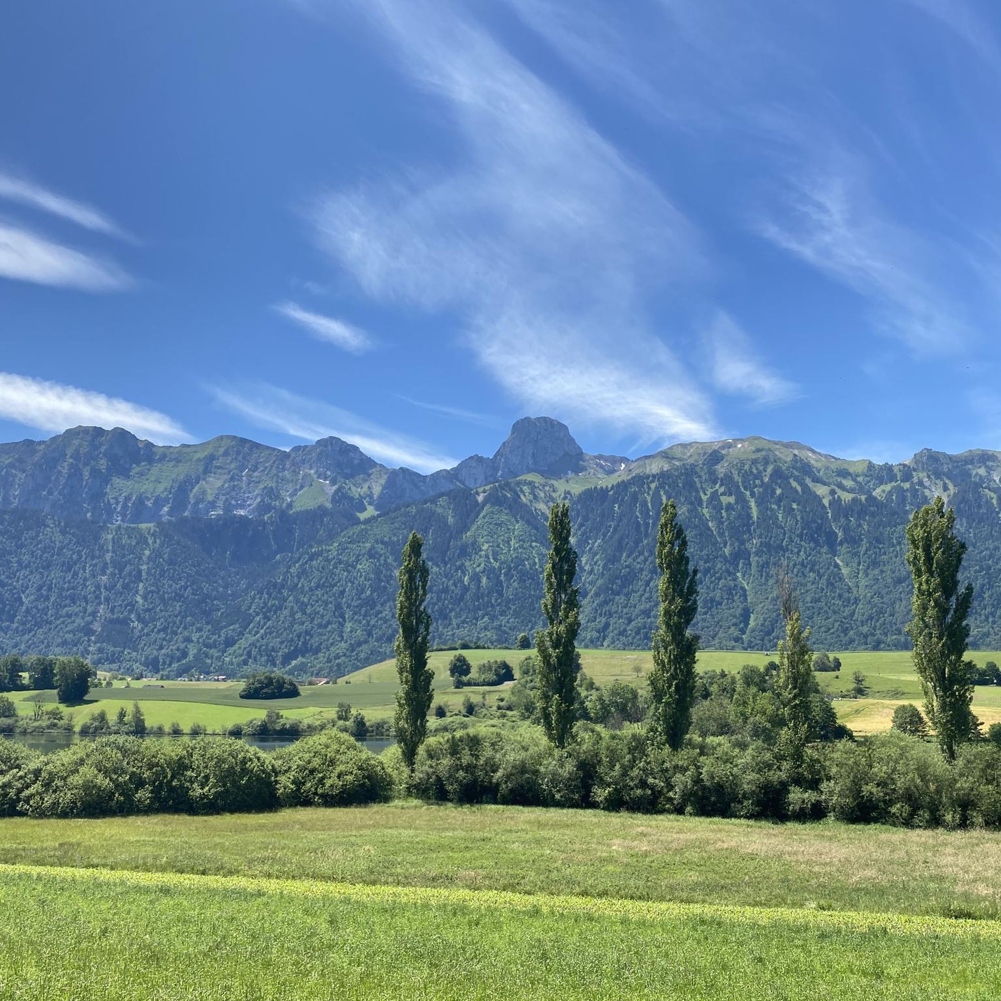
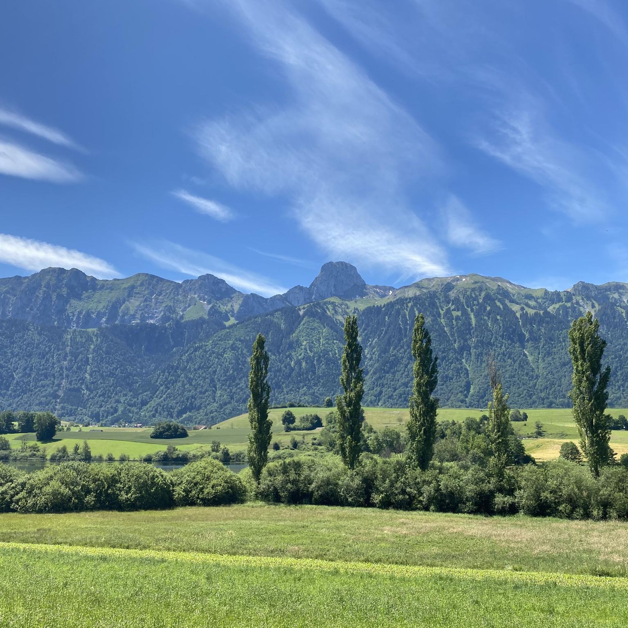
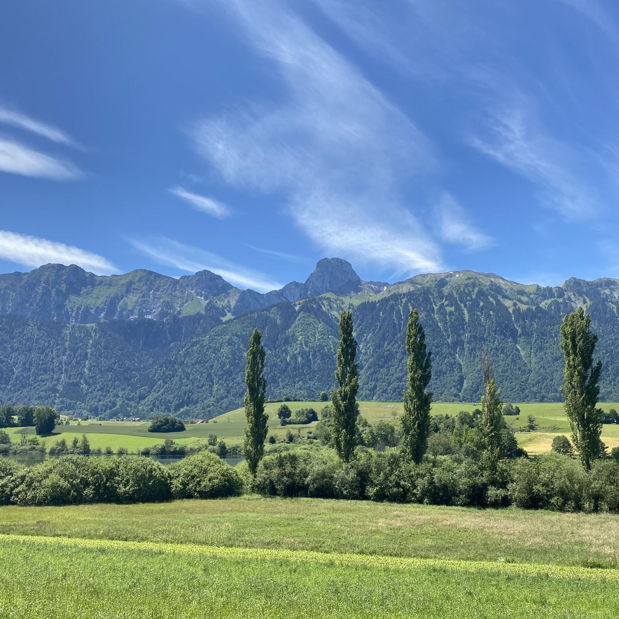
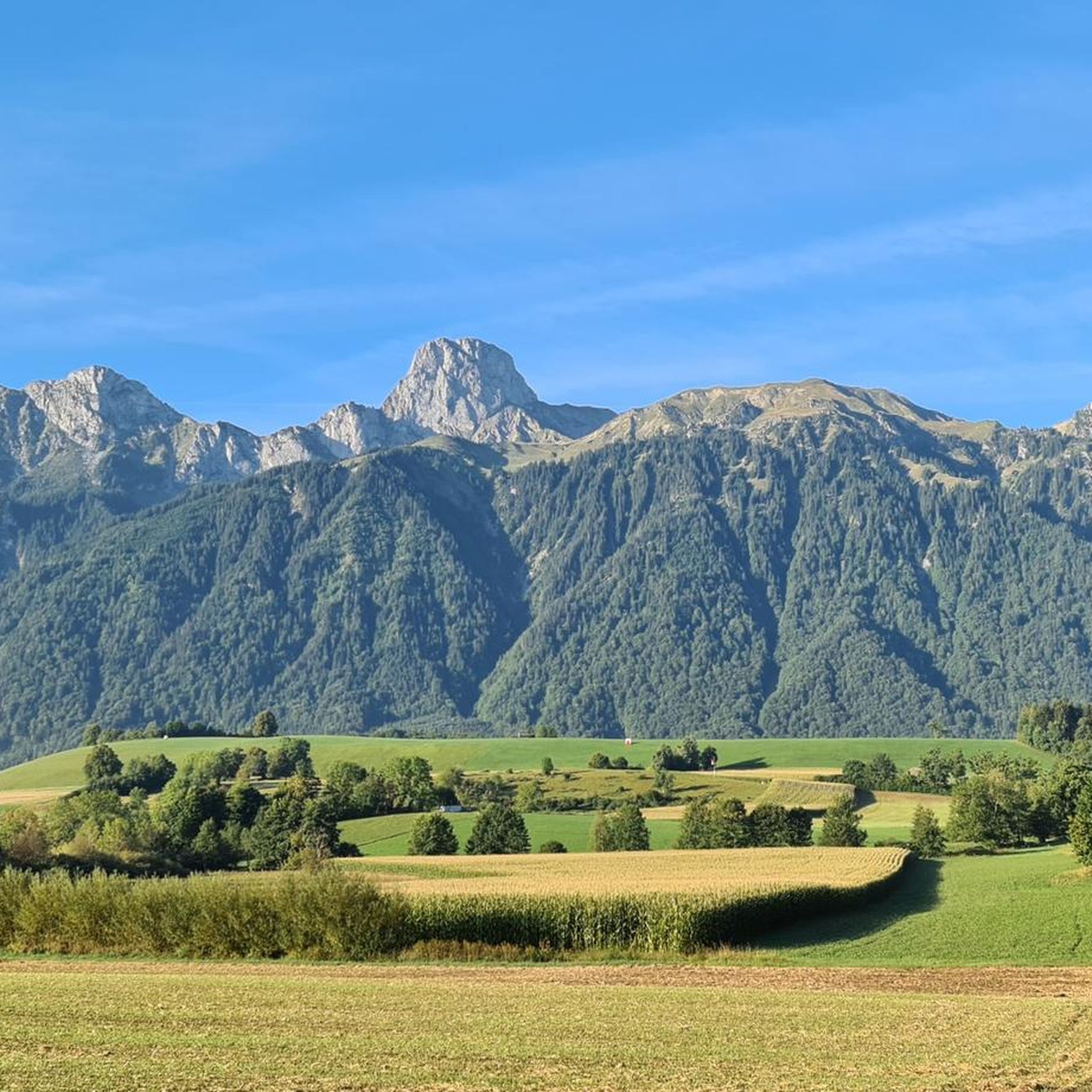
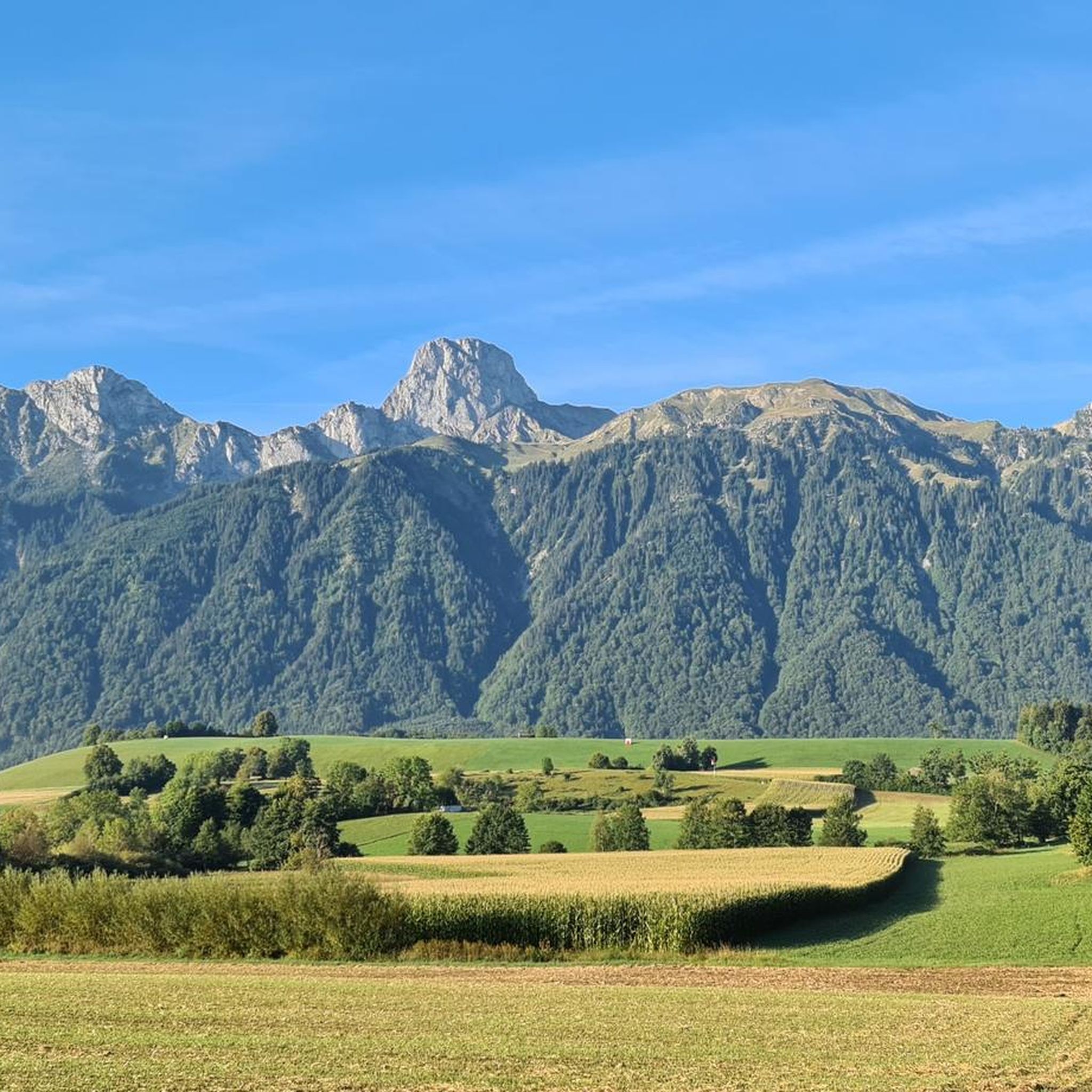
The panorama is magnificent. Despite the foothills of the Alps, you feel like you're on top of the world, especially above the sea of fog.
0
0

The rock formations tower impressively over the land and you are simply proud to sit up there and look down
0
0


Is there a better souvenir than cheese from the Alp?
0
1
It's always nice to cross passes that offer new vistas and allow you to step from one world into another. The Leitere Pass is one of those. Coming from Stockhort, you've got the last few meters of the tour to Gurnigel ahead of you, and you can perhaps look forward to a glass of milk or a cheese at Nünenealp. Or you're on your way toward Stockhorn and see the varied trail via Hohmad, Chatz & Mus, and Walalp for the first time. Yes, it is a beautiful place.
1
0

The Leiternpass is located between these two peaks.
8
2

A very worthwhile summit with a great view that you have to work hard to reach... there is also a climbing route that leads up here... but because of the amazing view you are rarely alone
1
0
Frequently Asked Questions
How many mountaineering routes are available around Uebeschi?
There are over 15 mountaineering routes around Uebeschi, offering a variety of challenges. You'll find 6 moderate routes and 11 difficult routes to explore.
What are the typical difficulty levels for mountaineering in the Uebeschi region?
The mountaineering routes around Uebeschi primarily range from moderate to difficult. You'll find 6 moderate routes, which are suitable for those with some experience, and 11 difficult routes for more seasoned mountaineers seeking a greater challenge.
Are there any circular mountaineering routes in the Uebeschi area?
Yes, several circular routes are available. For example, you can try the difficult Chumlihütte – Morgetegrat loop from Gurnigelpass, or the moderate Chumlihütte – Gantrischseeli loop from Gantrisch. Another option is the difficult Alp Obernünenen – Leiterepass loop from Gurnigelpass.
What interesting sights can I explore near the mountaineering routes?
The Uebeschi region, while a gateway to the Bernese Alps, also offers unique local attractions. You can visit the Gantrisch Summit or the Stockhorn Summit & Panoramic Viewpoint for stunning views. The area also features natural wonders like Hinterstockensee and the Leitere Pass. For those interested in geological features, there are several caves, including the Glütschbachtal Stream and Grottos and the Zwergliloch Cave.
When is the best time of year for mountaineering in the Uebeschi region?
The Uebeschi region, being part of the Bernese Oberland, is generally best for mountaineering during the warmer months, typically from late spring to early autumn (June to September). During this period, trails are usually clear of snow at lower to mid-elevations, and weather conditions are more stable. Always check local weather and trail conditions before heading out, especially for higher alpine routes.
Are there any family-friendly mountaineering options around Uebeschi?
While Uebeschi serves as a base for more ambitious mountaineering, some of the moderate routes could be suitable for active families with older children, provided they have appropriate experience and gear. For instance, the Chumlihütte loop from Gantrisch is a moderate option that might be considered. For younger families, the drumlin landscape around Uebeschi offers many scenic hiking trails that are less strenuous than dedicated mountaineering routes.
Can I bring my dog on mountaineering routes in Uebeschi?
Generally, dogs are permitted on many hiking and mountaineering trails in Switzerland, but specific regulations can vary by area, especially within nature parks or protected zones like the nearby Gantrisch Nature Park. It's always best to check local signage or the specific tour details on komoot for any restrictions or requirements, such as keeping dogs on a leash.
What do other mountaineers enjoy the most about mountaineering in Uebeschi?
The mountaineering routes around Uebeschi are highly rated by the komoot community, with an average score of 4.9 stars from over 40 reviews. Mountaineers often praise the varied terrain, from the distinctive drumlin landscape to the challenging ascents leading to panoramic views of the Bernese Alps. The proximity to scenic spots like Gantrischseeli lake is also frequently highlighted.
How can I reach the mountaineering trailheads by public transport?
Uebeschi is well-connected within the Swiss public transport network. While specific trailhead access varies, you can typically reach the general area by bus from Thun, which is a major transport hub. From there, local buses often serve smaller villages and starting points for trails. For detailed information on reaching specific trailheads like Gurnigelpass or Gantrisch, it's recommended to check the Swiss Federal Railways (SBB) timetable for the most current connections.
Is parking available near the mountaineering trailheads in Uebeschi?
Yes, parking is generally available near popular trailheads such as Gurnigelpass and Gantrisch, which serve as starting points for many mountaineering routes in the broader Uebeschi region. However, spaces can be limited, especially during peak season. It's advisable to arrive early or consider public transport. Specific parking details are often provided on individual komoot tour pages.
What kind of landscape can I expect on mountaineering routes around Uebeschi?
The landscape around Uebeschi is quite diverse. At lower elevations, you'll encounter a distinctive drumlin landscape with elongated hills, meadows, and small woodlands. As you ascend towards the more challenging mountaineering routes, you'll transition into alpine pastures and rocky terrain, characteristic of the Bernese Alps, offering impressive views and more rugged environments.
Most popular routes around Uebeschi
Most popular attractions around Uebeschi

Get inspired with the komoot mobile app


Explore more
Browse the best Mountain Hikes & Routes in other regions.
