The best running trails around Verwaltungskreis Thun
4.5
(331)
12,955
runners
509
runs
Jogging around Verwaltungskreis Thun offers diverse terrain, from tranquil lakeside paths along Lake Thun to scenic riverside trails following the Aare River. The region is characterized by varied elevations, with routes ranging from flat, accessible paths to more inclined trails that provide panoramic views of the surrounding Bernese Alps. Extensive forests and meadows also contribute to the varied running environments available.
Best jogging routes around Verwaltungskreis Thun
- The most popular jogging route is Thun Lakeside Stage – Lake Thun at Bostettenpark loop from Thun, a 4.8 miles (7.7 km) trail that takes about 48 minutes to complete, offering views of Lake Thun.
- Another top favourite among local runners is Schadau Castle – Grunderinseli loop from Thun, a moderate 8.6 miles (13.8 km) path that winds past historic landmarks and along the lake.
- Local runners also love the Hünibach Meadow loop from Thun, a 3.1 miles (4.9 km) trail leading through open meadows, often completed in about 33 minutes.
- Jogging around Verwaltungskreis Thun is defined by Lake Thun, the Aare River, and the backdrop of the Bernese Alps. The network offers options for different ability levels, from easy lakeside running to more challenging routes with elevation.
- The routes in Verwaltungskreis Thun are highly rated by the komoot community with an average score of 4.5 stars from over 250 reviews. More than 11,500 runners have used komoot to explore Verwaltungskreis Thun's varied terrain.
Last updated: October 20, 2026
4.3
(13)
501
runners
7.94km
00:49
10m
10m
Moderate run. Good fitness required. Mostly paved surfaces. Suitable for all skill levels.
4.8
(5)
427
runners
4.74km
00:31
10m
10m
Easy run. Great for any fitness level. Mostly paved surfaces. Suitable for all skill levels.

4.3
(3)
350
runners
13.7km
01:26
30m
30m
Moderate run. Good fitness required. Mostly paved surfaces. Suitable for all skill levels.
4.7
(6)
251
runners
10.9km
01:11
130m
130m
Moderate run. Good fitness required. Mostly paved surfaces. Suitable for all skill levels.
4.6
(9)
242
runners
8.70km
00:56
100m
100m
Moderate run. Good fitness required. Mostly paved surfaces. Suitable for all skill levels.
4.0
(2)
201
runners
8.55km
00:53
10m
10m
Moderate run. Good fitness required. Mostly paved surfaces. Suitable for all skill levels.
4.8
(28)
542
runners
10.4km
01:07
40m
40m
Moderate run. Good fitness required. Mostly paved surfaces. Suitable for all skill levels.
5.0
(6)
379
runners
17.9km
01:51
40m
40m
Hard run. Very good fitness required. Mostly paved surfaces. Suitable for all skill levels.
4.5
(8)
212
runners
6.93km
00:43
20m
20m
Moderate run. Good fitness required. Mostly paved surfaces. Suitable for all skill levels.
4.0
(3)
197
runners
Moderate run. Good fitness required. Mostly paved surfaces. Suitable for all skill levels.
Get access to more routes and recommendations from other explorers.
Already have an account?
Our route recommendations are based on thousands of hikes, rides, and runs completed by other people on komoot.
Start today with a free account
Your next adventure awaits.
Popular around Verwaltungskreis Thun
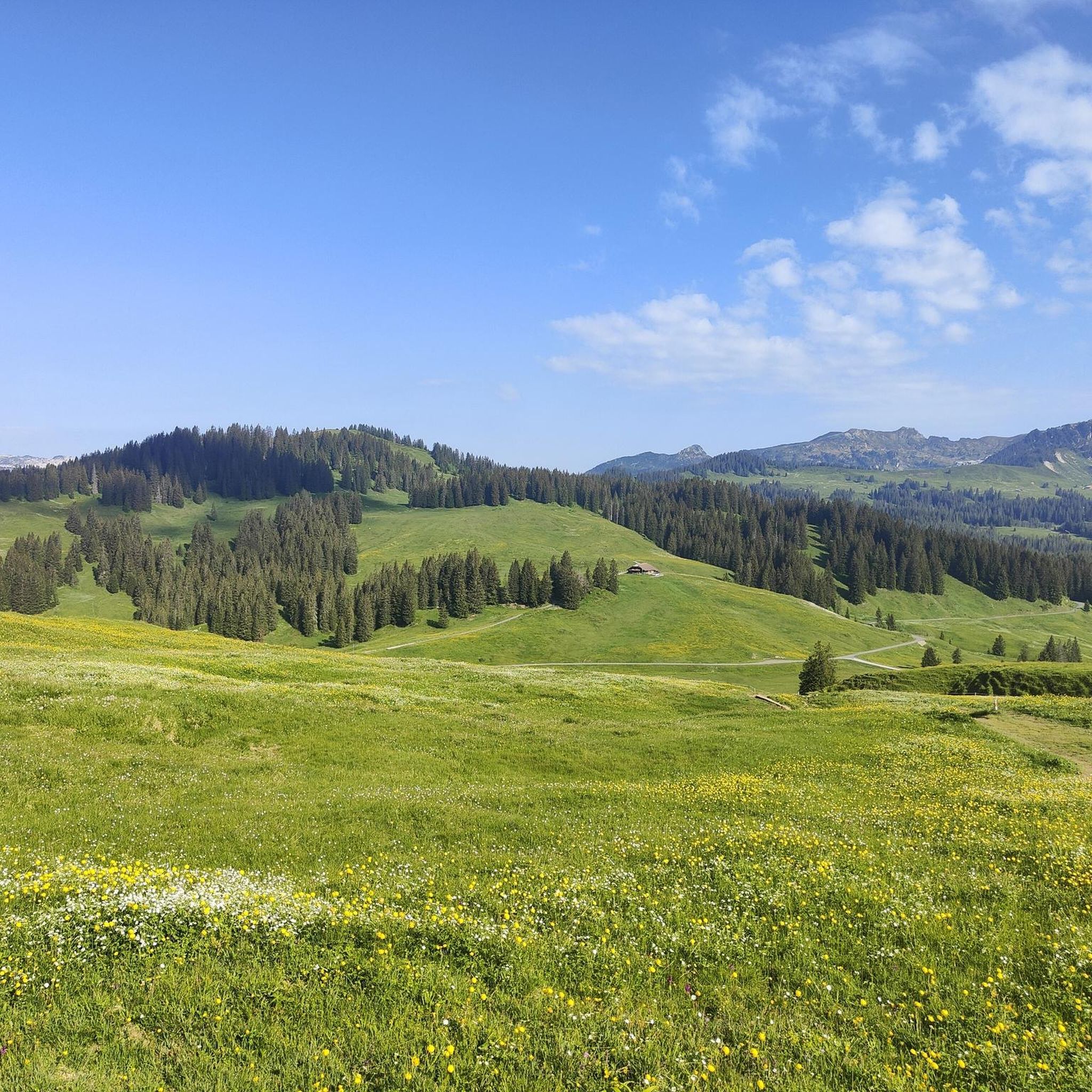
Running Trails around Thunersee
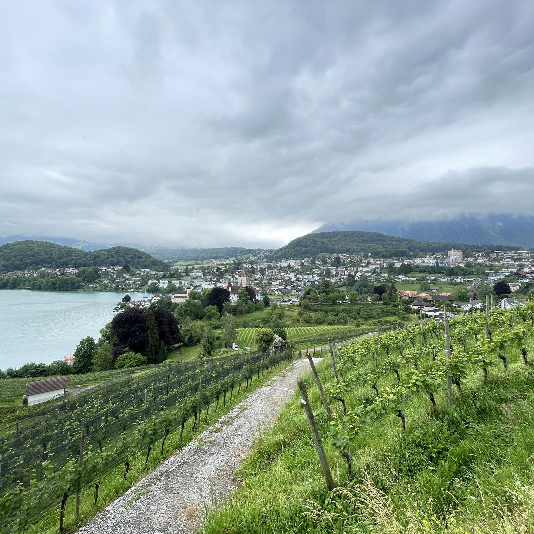
Running Trails around Thunersee
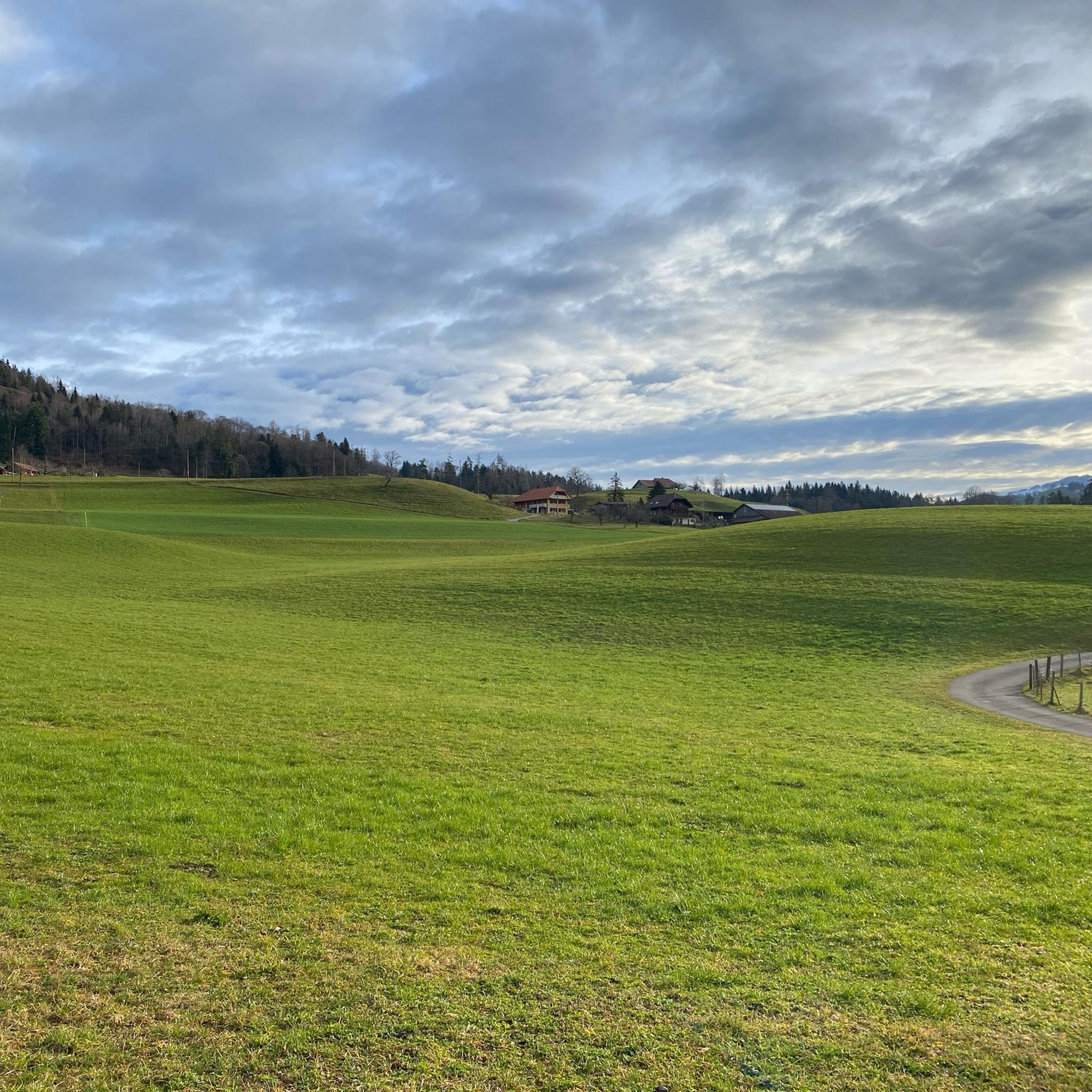
Running Trails around Steffisburg
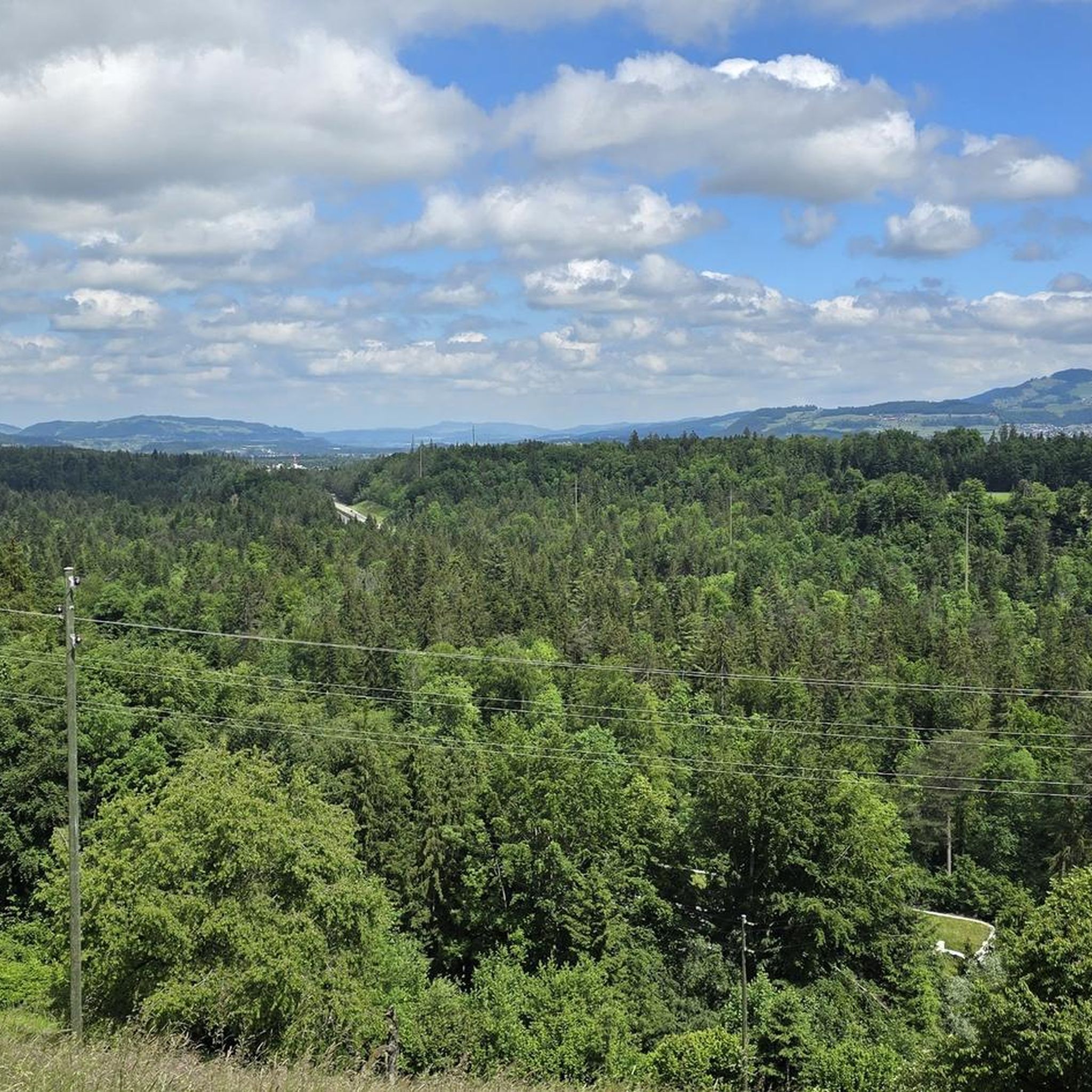
Running Trails around Zwieselberg
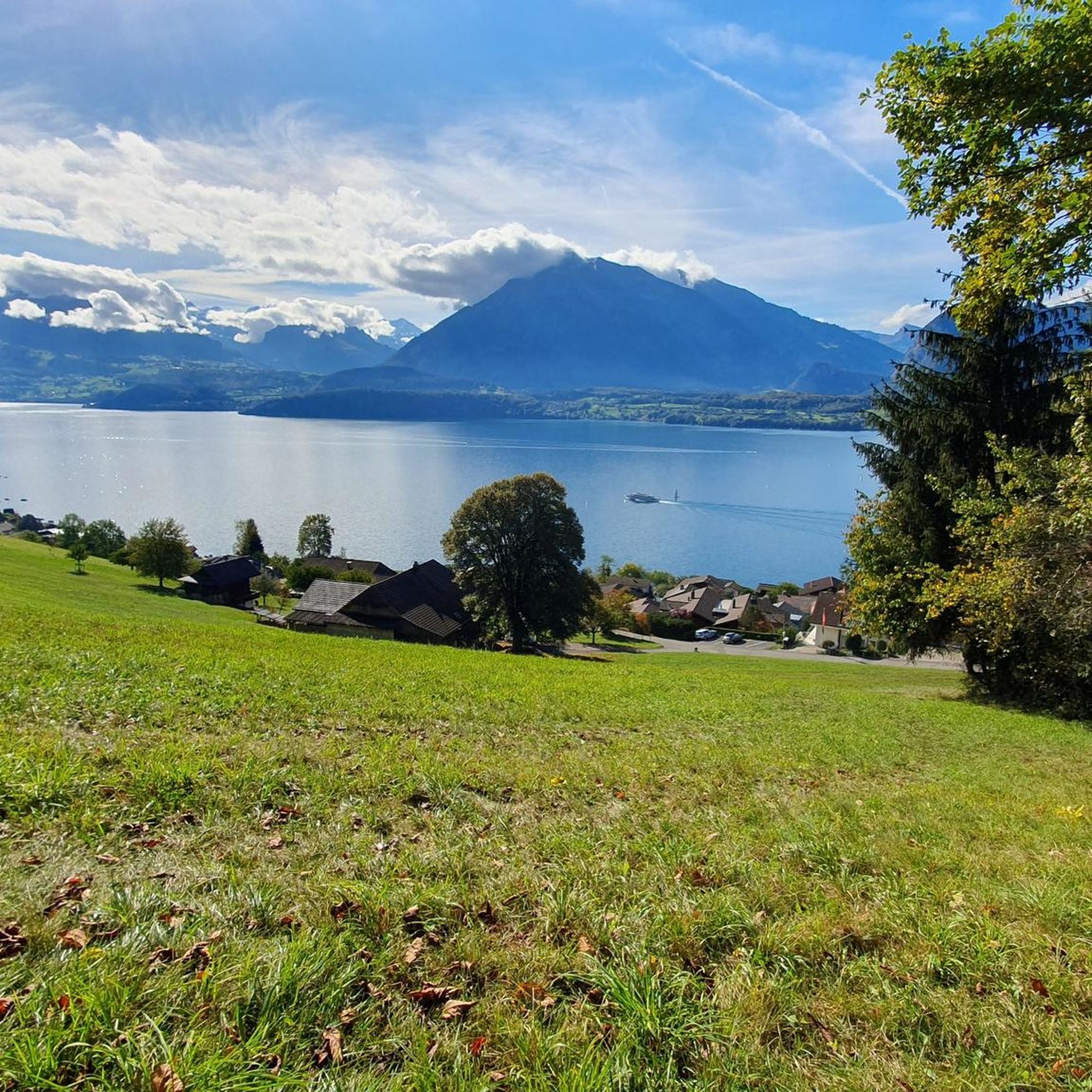
Running Trails around Oberhofen am Thunersee
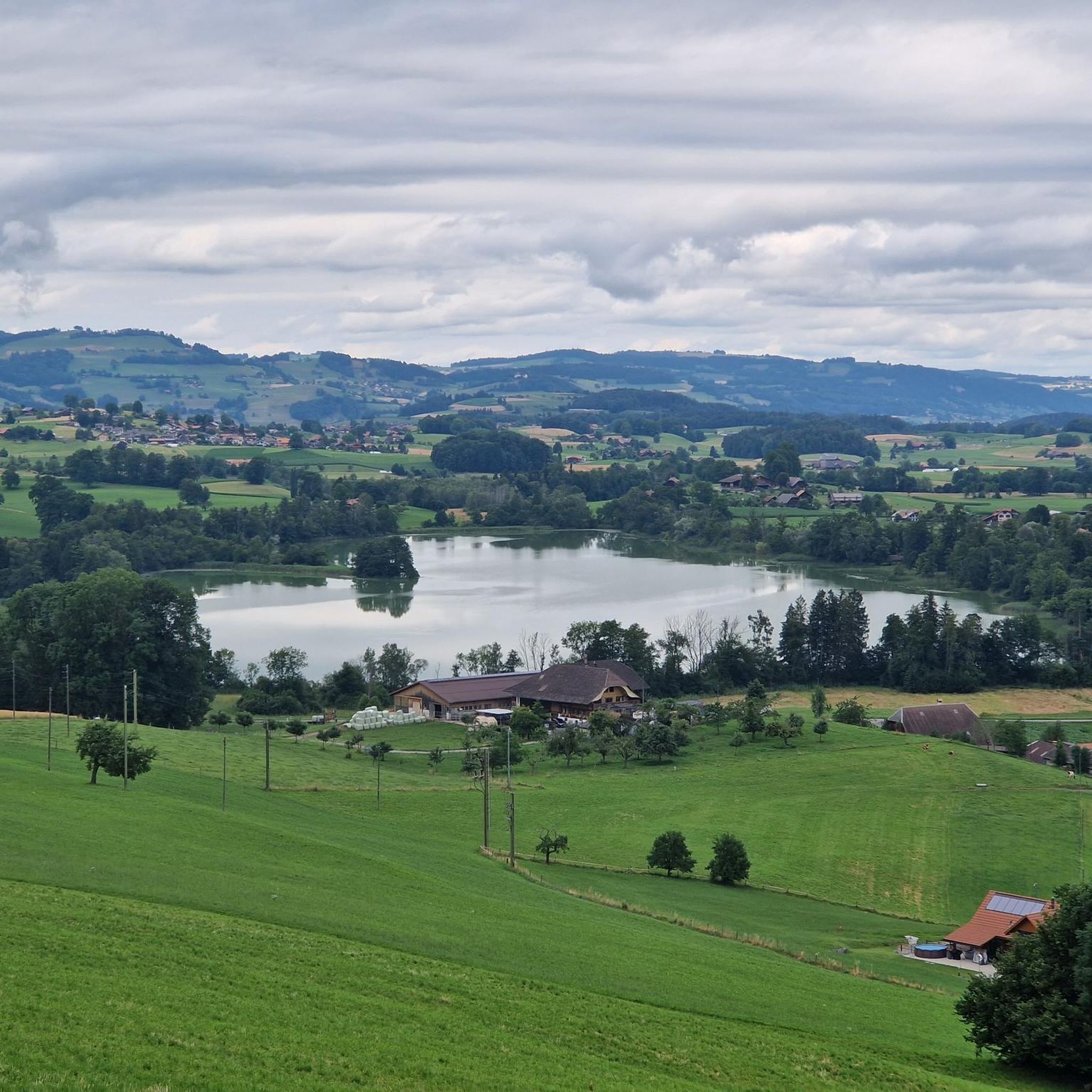
Running Trails around Amsoldingen
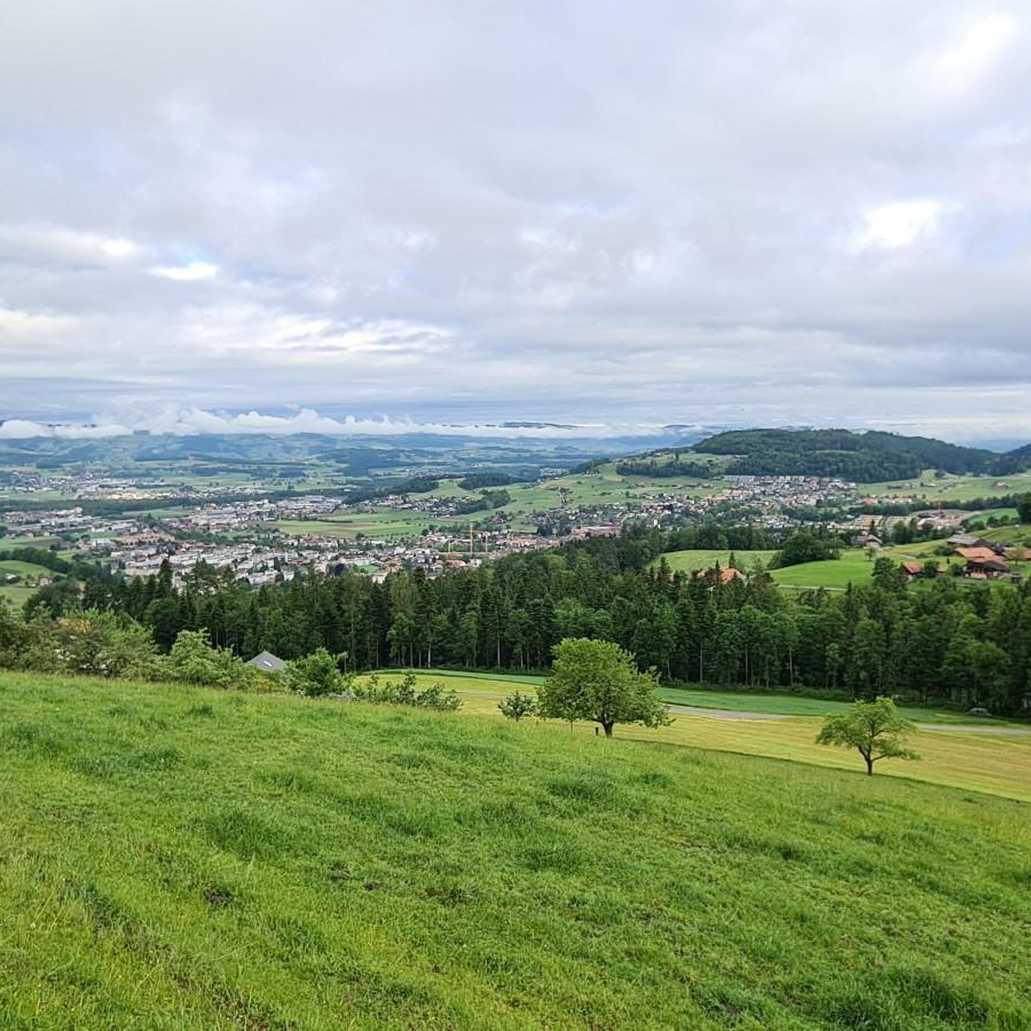
Running Trails around Schwendibach
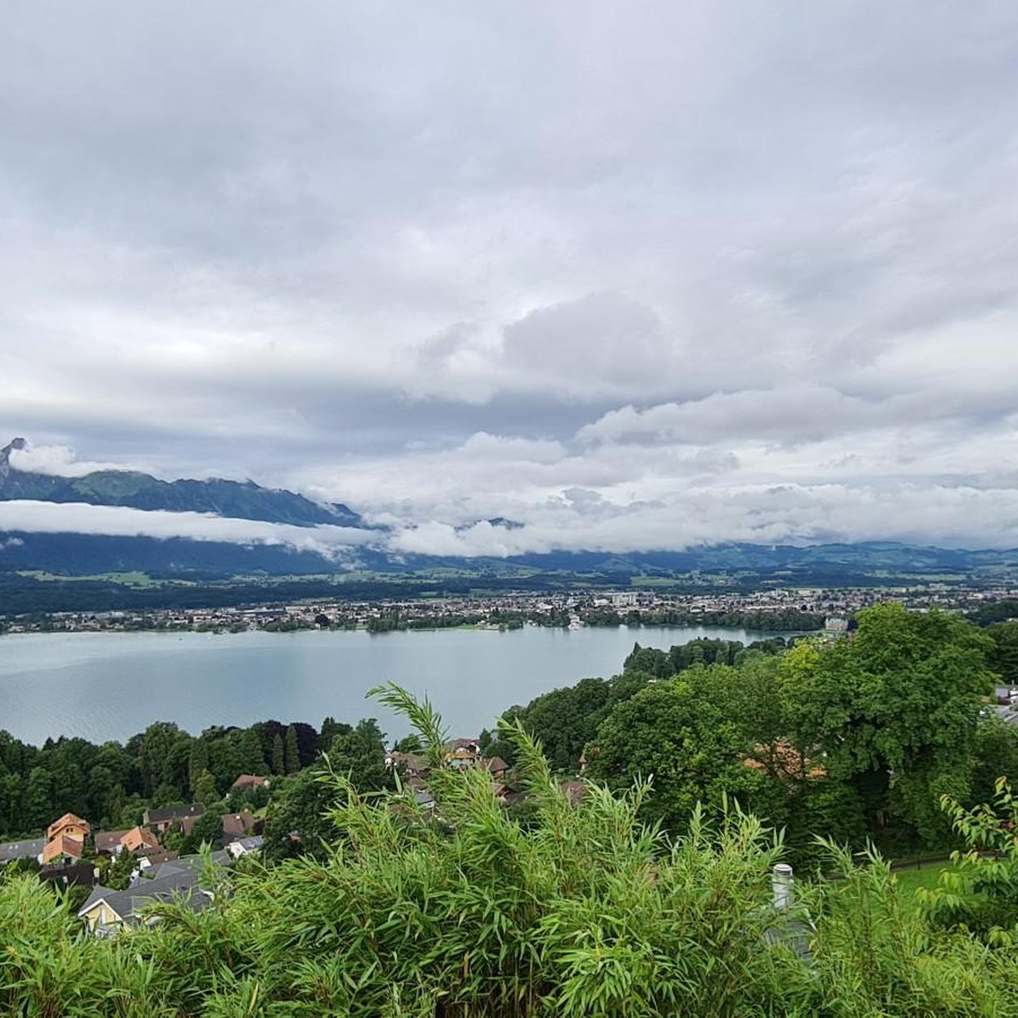
Running Trails around Hilterfingen
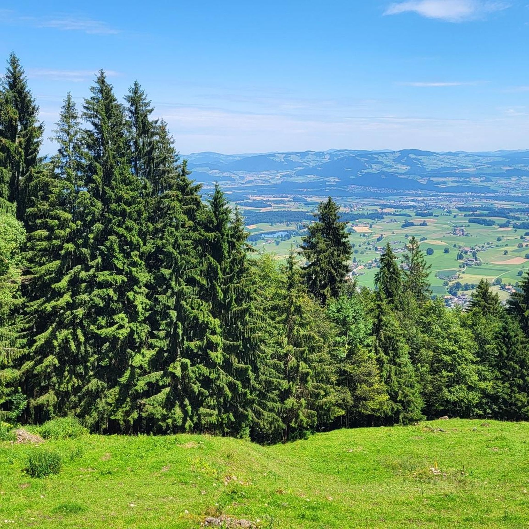
Running Trails around Blumenstein
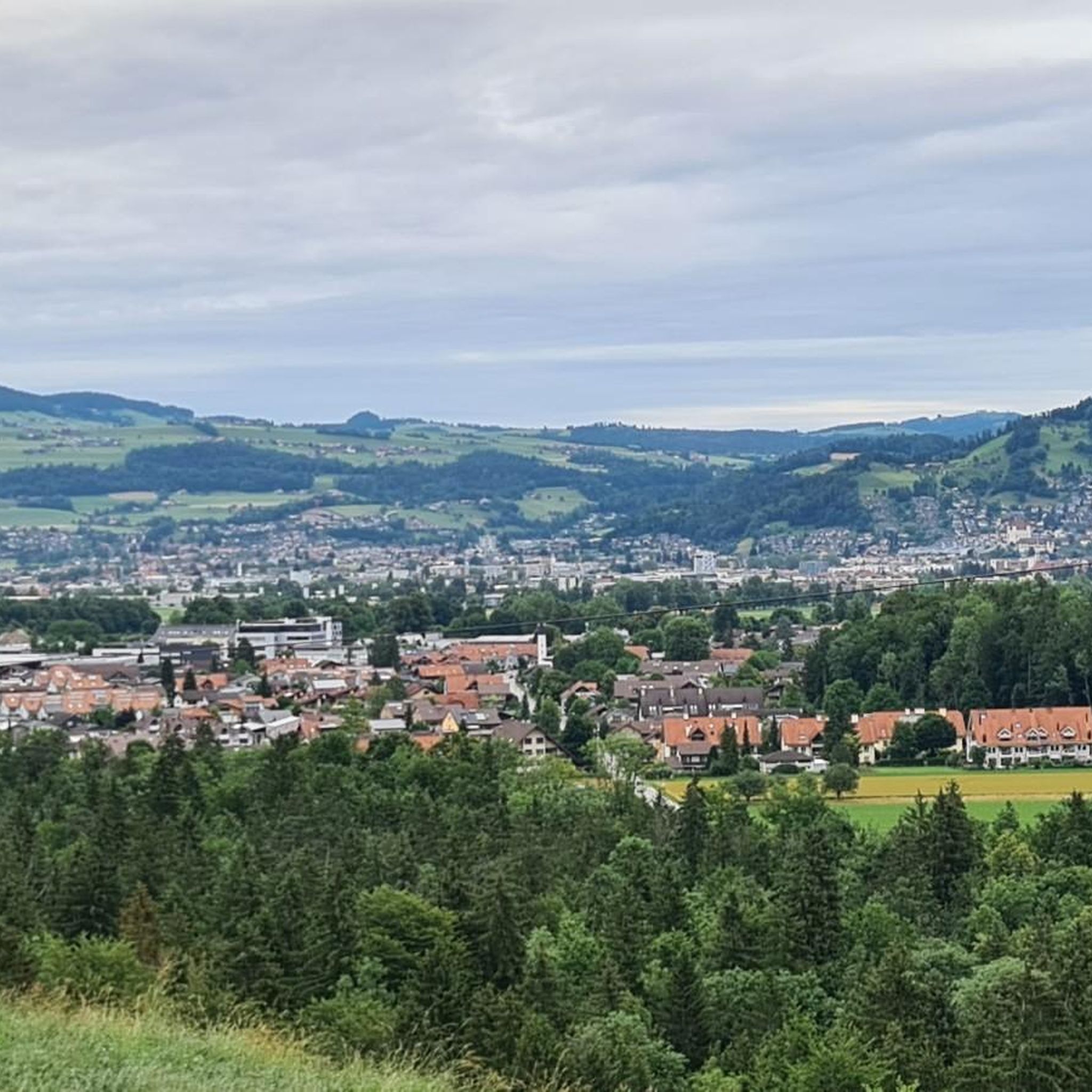
Running Trails around Thierachern
Other adventures around Verwaltungskreis Thun


Tips from the Community

Beautiful view
5
0
Very beautiful city
4
0

It's always worth making the effort to do some sport 😎
0
0

Beautiful old town with great bistros along the Aare river.
0
0

Wonderful play of colors from the water of the Aare
0
0

A very impressive bridge/lock construction.
3
1

Driving is prohibited, and on nice days it's very busy with walkers. Nevertheless, it's worth getting off your bike and soaking up the lovely atmosphere.
0
0

Wonderful with a playground, free swimming pool and snack bar.
0
0
Frequently Asked Questions
How many running routes are available in Verwaltungskreis Thun?
Verwaltungskreis Thun offers a wide selection of over 500 running routes. These range from easy lakeside paths to more challenging trails with significant elevation, catering to all fitness levels.
What kind of terrain can I expect on running trails in Verwaltungskreis Thun?
You can expect a diverse range of terrain. Many routes follow the tranquil shores of Lake Thun or the scenic Aare River. The region also features extensive forests and meadows, as well as hilly sections that offer rewarding views of the majestic Bernese Alps.
Are there running routes suitable for beginners in Verwaltungskreis Thun?
Yes, there are nearly 50 easy running routes perfect for beginners or those looking for a relaxed jog. An excellent option is the Hünibach Meadow loop from Thun, which is 3.1 miles (4.9 km) and leads through open meadows.
What do other runners enjoy most about jogging in Verwaltungskreis Thun?
The running routes in Verwaltungskreis Thun are highly rated by the komoot community, with an average score of 4.5 stars from over 250 reviews. Runners frequently praise the stunning views of Lake Thun and the Alps, the varied terrain, and the well-maintained paths that offer both serene nature and charming townscapes.
Are there circular running routes available in the region?
Yes, many of the running routes in Verwaltungskreis Thun are circular, allowing you to start and end at the same point. For example, the popular Thun Lakeside Stage – Lake Thun at Bostettenpark loop from Thun offers a scenic 4.8-mile (7.7 km) circular run along the lake.
What attractions or points of interest can I see while running in Verwaltungskreis Thun?
Many running routes offer views of or pass by notable attractions. You can enjoy views of Thun Castle, run through Thun Old Town, or pass by the picturesque Schadau Park and Castle. For panoramic vistas, some trails offer glimpses of the Blueme Observation Tower or the impressive Sigriswil Suspension Bridge.
Are there challenging running routes for experienced runners?
Absolutely. For those seeking a greater challenge, there are over 100 difficult running routes in Verwaltungskreis Thun. These often involve more significant elevation changes and longer distances, such as the 11-mile (17.8 km) Aare Bridge, Kaliforni – Schadau Castle loop from Steffisburg.
Can I bring my dog on the running trails in Verwaltungskreis Thun?
While many trails in Switzerland are dog-friendly, it's always recommended to keep your dog on a leash, especially in nature reserves, agricultural areas, or near livestock. Please be mindful of local regulations and other trail users.
Are there running routes with good parking facilities?
Many starting points for running routes in Verwaltungskreis Thun, particularly those near towns and popular attractions, offer parking options. For routes starting from Thun, you'll find various public parking areas. It's advisable to check local parking information for specific starting points.
What is the typical length of running trails in Verwaltungskreis Thun?
The lengths of running trails vary significantly. You can find shorter loops, like the 3.1-mile (4.9 km) Hünibach Meadow loop, to longer runs such as the 8.6-mile (13.8 km) Schadau Castle – Grunderinseli loop from Thun, and even more extensive options for endurance training.
Where can I find scenic running routes with great views?
For breathtaking views, focus on routes along Lake Thun or those that ascend into the hills surrounding the lake. The Thun Lakeside Stage – Lake Thun at Bostettenpark loop offers continuous views of the lake and the Bernese Alps. Routes near the Aare River also provide picturesque scenery through the town of Thun.
Are there family-friendly jogging routes in Verwaltungskreis Thun?
Yes, many of the easier and moderate routes are suitable for families. Flat paths along Lake Thun or the Aare River, often with playgrounds or picnic spots nearby, are ideal. The Ferris Wheel at Mühleplatz – Aare Bridge, Kaliforni loop from Thun is a moderate 4.1-mile (6.6 km) route that passes through urban and riverside areas, which can be engaging for families.
What is the best time of year for running in Verwaltungskreis Thun?
Verwaltungskreis Thun is beautiful year-round. Spring and autumn offer pleasant temperatures and vibrant scenery, while summer is ideal for lakeside runs with opportunities for a refreshing dip. Even in winter, many lower-elevation paths along the lake and river remain accessible and offer a serene, often snowy, landscape.
Most popular routes around Verwaltungskreis Thun
Most popular attractions around Verwaltungskreis Thun

Get inspired with the komoot mobile app


Didn’t find what you were looking for?
Check out more Running Trails & Routes throughout Verwaltungskreis Thun below and find the perfect route in your destination.
Explore more
Browse the best Running Trails & Routes in other regions.
