The 14 Most Amazing Peaks around Arette
Best mountain peaks around Arette are found in the Pyrénées-Atlantiques department of southwestern France. This region provides access to several notable mountain peaks and a significant mountain pass in the western Pyrenees. The natural landscape features a range of geographic formations, from high summits to karst regions. These areas offer diverse opportunities for exploration and provide expansive views of the surrounding Pyrenean chain.
Best mountain peaks around Arette
- The most popular mountain peaks is Ansabère Huts, a hut located…
Last updated: October 11, 2026
Ansabère Huts
Highlight • Mountain Hut
Translated by Google •
Tip by

Table of the Three Kings (Hiru Erregen Mahaia)
Highlight • Summit
Translated by Google •
Tip by

Sign up now to discover places like this
Get recommendations on the best single tracks, peaks, & plenty of other exciting outdoor places.
Cap de la Baitch Hut
Highlight • Summit
Translated by Google •
Tip by

Pic d'Arlas
Highlight • Summit
The …
Translated by Google •
Tip by

Anie Peak • Auñamendi
Highlight • Summit
Translated by Google •
Tip by

Sign up for free to discover even more peaks around Arette.
Already have an account?
Start today with a free account
Your next adventure awaits.
Popular around Arette
Hexatrek, the western and central Pyrenees – Between mountains and the ocean
Classic Swallows Route in Spain – Mountains with history
The Western Pyrenees – crossing the Pyrenees on the GR 10
Hiking around Arette
Road Cycling Routes around Arette
Cycling around Arette
MTB Trails around Arette
Gravel biking around Arette

Mountain Hikes around Arette
Running Trails around Arette
Other adventures around Arette


Tips from the Community

It's really too cool in good weather.
0
0

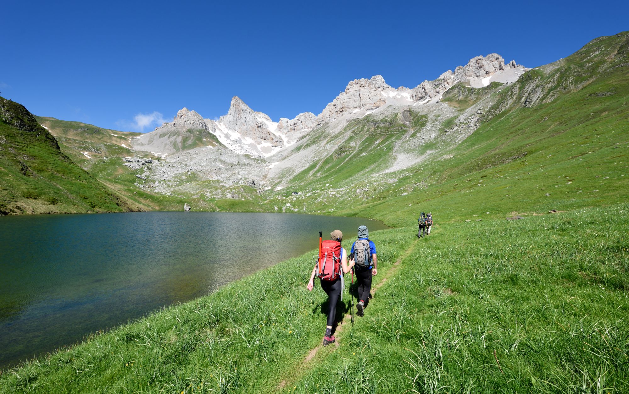
The Ansabère Huts (Cabanes d'Ansabère) are as charming and laid-back as it gets. These little stone huts are used by local shepherds making fresh mountain cheese all summer long, and if you're lucky, you can even buy some right on the spot!
2
0
At 2,444 meters, Hiru Erregen Mahaia (or Mesa de los Tres Reyes) is the absolute highest spot in Navarre and a total classic in the Pyrenees. Fun local legend says the old kings of Navarre, Aragon, and Béarn used to meet up right at the top so they could chat without stepping foot into each other's countries!
2
0

A fairly difficult hike when you're not trained (which was my case) but not impossible if you take your time and go at your own pace. On the other hand, it's a very beautiful hike! The landscapes are magnificent. There are two parking lots, the Masousa parking lot and another higher up which saves 45 minutes, but the road is very bumpy.
0
0

If you arrive early you can have minutes of silence
0
0

The Mesa de los Tres Reyes is the highest peak in Navarra with 2444 meters. It starts from the Linza refuge, being a hard and demanding climb due to the distance (17 km round trip) and the difference in altitude (1309 meters); and the last climb to reach the top in which you inevitably have to put your hands down on a steep slope with loose stones, although it is even more impressive on the way down. But the effort is rewarded by the areas that are crossed and the views throughout the journey.
1
0

It is best to put the bag down before climbing to the table.
0
0
Frequently Asked Questions
What are some of the most popular mountain peaks and features to explore around Arette?
The Arette region offers a variety of impressive peaks and natural features. Highly regarded spots include the Ansabère Huts, known for their unique setting on the plateau of the Cirque de Lescun, and the Cap de la Baitch Hut, which serves as an excellent base for early morning ascents to Pic d'Anie. Another significant summit is the Table of the Three Kings (Hiru Erregen Mahaia), the highest peak in Navarra. Additionally, the Col de la Pierre Saint-Martin, while not a peak, is a major mountain pass offering diverse activities and stunning views.
Are there challenging mountain hikes available near Arette?
Yes, the Arette area is home to several challenging mountain hikes. Pic d'Anie, the highest peak in the western Pyrenees, offers a demanding climb of around 6 hours and 45 minutes with significant elevation gain, often involving scrambling. The Table of the Three Kings (Hiru Erregen Mahaia) is also described as a hard and demanding climb due to its distance and altitude gain. For those seeking difficult mountaineering routes, you can find options like the "Pic d'Arlas – Anie Peak loop" or the "Refuge closed – Summit of Anie 2504m loop" in the Mountain Hikes around Arette guide.
What unique natural features can I expect to see in the Arette mountains?
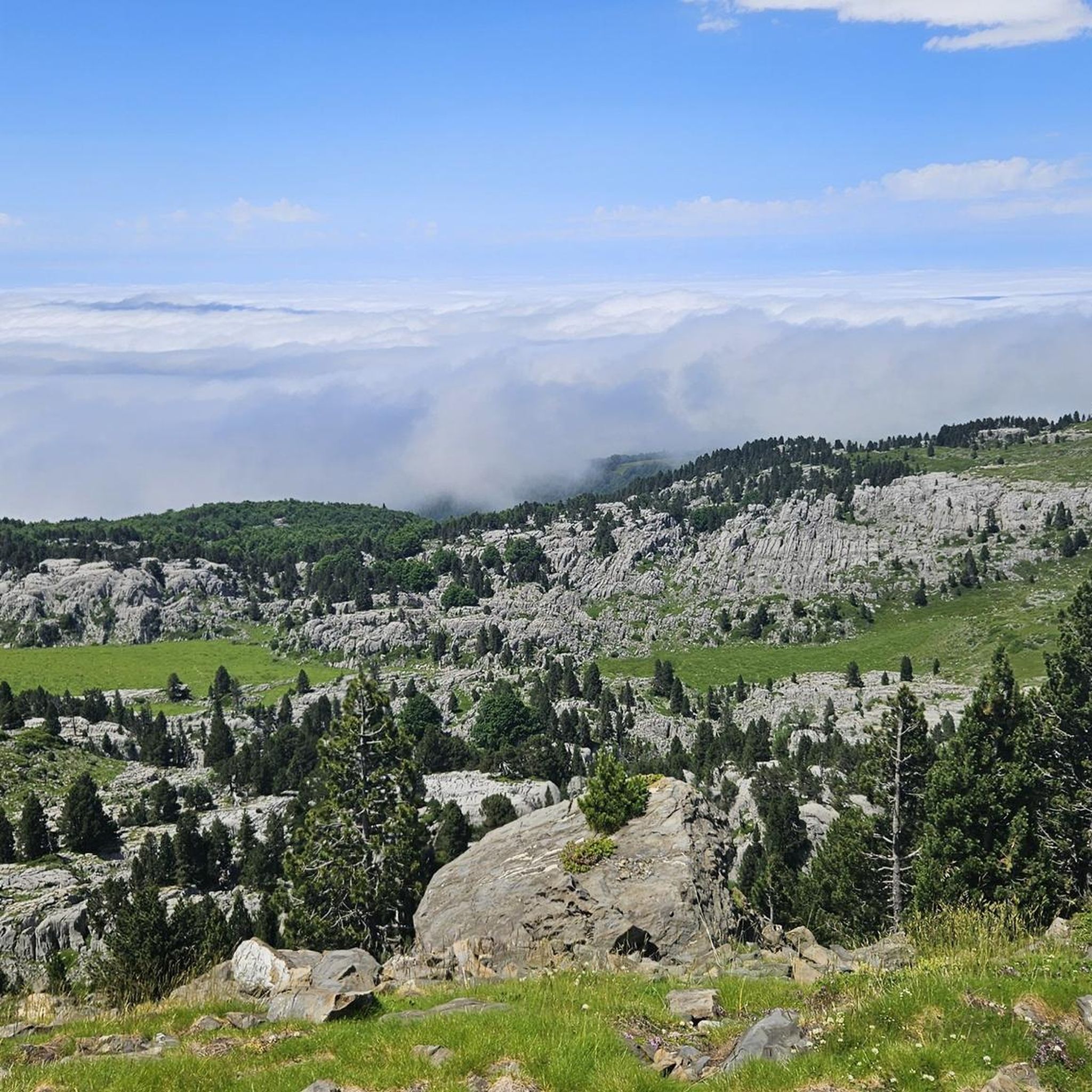
The mountains around Arette are renowned for their unique geological formations. Pic d'Anie, for instance, dominates an extraordinary karst region, featuring a distinctive 'lunar' landscape of lapiaz formations and extensive, deep cave networks. You can also find picturesque pastures, such as those on the Plateau de Guillers, which are frequented by cows and horses and offer panoramic views of the surrounding peaks.
What outdoor activities are available near the mountain peaks of Arette?
Beyond peak bagging, the Arette region provides a wide array of outdoor activities. You can explore numerous mountain hikes, including difficult routes like the "Collado de Linza loop." For cyclists, there are challenging cycling routes, such as the "Soudet Pass – Labays Pass loop." Mountain biking enthusiasts can find trails like the "Bugangue-Labaig Trail" in the MTB Trails around Arette guide. In winter, the Col de la Pierre Saint-Martin transforms into a popular ski resort.
Is the Col de la Pierre Saint-Martin worth visiting, and what does it offer?
Absolutely. The Col de la Pierre Saint-Martin is a significant mountain pass on the France-Spain border. It's home to a family-friendly ski resort with 27 slopes, making it ideal for winter sports. In summer, it's a hub for mountain biking, hiking, and offers the "Boulevard des Pyrénées" trail for magnificent valley views. The pass is also historically significant, hosting the traditional 'Tribute of the Three Cows' ceremony annually.
Are there any huts or refuges available for breaks or overnight stays in the Arette mountains?
Yes, the area features several huts that can be used for breaks or overnight stays. The Ansabère Huts on the plateau of the Cirque de Lescun are small, unguarded huts built into impressive rocks. The Cap de la Baitch Hut, located at 1689 meters on the GR 10, is also well-situated and has a water point nearby, making it convenient for those heading to Pic d'Anie.
What is the best time to visit the mountain peaks around Arette?
The best time to visit depends on your preferred activities. For hiking, mountain biking, and exploring the natural landscapes, the summer months offer ideal conditions. If you're interested in skiing or snowboarding, the winter season is perfect, especially at the Col de la Pierre Saint-Martin ski resort.
What can I expect from a hike to Soum Couy?
Soum Couy, at 2,315 meters, is a prominent peak overlooking the La Pierre Saint-Martin ski resort. The ascent offers varied terrain, including both easier and more technical sections, sometimes traversing rocky 'arres.' While some parts can be demanding, the effort is rewarded with expansive panoramas, making it an exceptional viewpoint over the surrounding Pyrenean range and the neighboring Pic d'Anie.
Are there any less crowded mountain peaks or viewpoints near Arette?
While specific crowd levels can vary, exploring peaks slightly off the most popular routes or visiting during off-peak times can offer a more serene experience. The Pic d'Arlas, forming a beautiful, incisive tooth at 2,044 meters, offers stunning panoramas and might provide a quieter alternative to the highest summits. The Plateau de Guillers also offers peaceful pastures and views.
What do visitors appreciate most about the mountain peaks around Arette?
Visitors frequently praise the breathtaking panoramic views from the summits, the unique geological formations like the karst landscape around Pic d'Anie, and the diverse range of outdoor activities available. The presence of well-located huts like the Ansabère Huts and Cap de la Baitch Hut for breaks and overnight stays is also highly valued by the komoot community.
Can I find beginner-friendly mountain routes or viewpoints in the Arette area?
While many peaks offer challenging ascents, the region does provide options for those seeking easier experiences. The Col de la Pierre Saint-Martin, for example, features the 'Boulevard des Pyrénées' trail, which offers magnificent valley views and is suitable for beginners. The Plateau de Guillers also provides accessible pastures with beautiful mountain vistas without requiring a strenuous climb.
Most popular routes around Arette
Most popular attractions around Arette

Get inspired with the komoot mobile app


Explore more
See even more amazing summits around Arette with these guides:
