The best mountain hikes around Heimberg
5.0
(4)
23
hikers
Mountaineering routes around Heimberg are situated in a region characterized by significant elevation changes, alpine meadows, and prominent peaks. The landscape features challenging ascents and descents, typical of mountain environments. The area offers routes that traverse varied terrain, including forested sections and open mountain slopes. These routes provide access to high-altitude viewpoints and natural features within the Bernese Alps foothills.
Best mountaineering routes around Heimberg
- The most popular mountaineering route is Chrümmelwägen Tunnel – Möntschelespitz loop from Blumenstein, a…
Last updated: August 16, 2026
5.0
(2)
9
hikers
14.3km
06:46
1,190m
1,190m
Hard mountaineering route. Very good fitness required. Sure-footedness, sturdy shoes and alpine experience required.
5.0
(1)
10
hikers
15.9km
06:48
1,040m
1,040m
Hard mountaineering route. Very good fitness required. Sure-footedness, sturdy shoes and alpine experience required.

Sign up for free
3
hikers
15.2km
07:11
1,250m
1,240m
Hard mountaineering route. Very good fitness required. Sure-footedness, sturdy shoes and alpine experience required.
Our route recommendations are based on thousands of hikes, rides, and runs completed by other people on komoot.
Start today with a free account
Your next adventure awaits.
Login or Signup
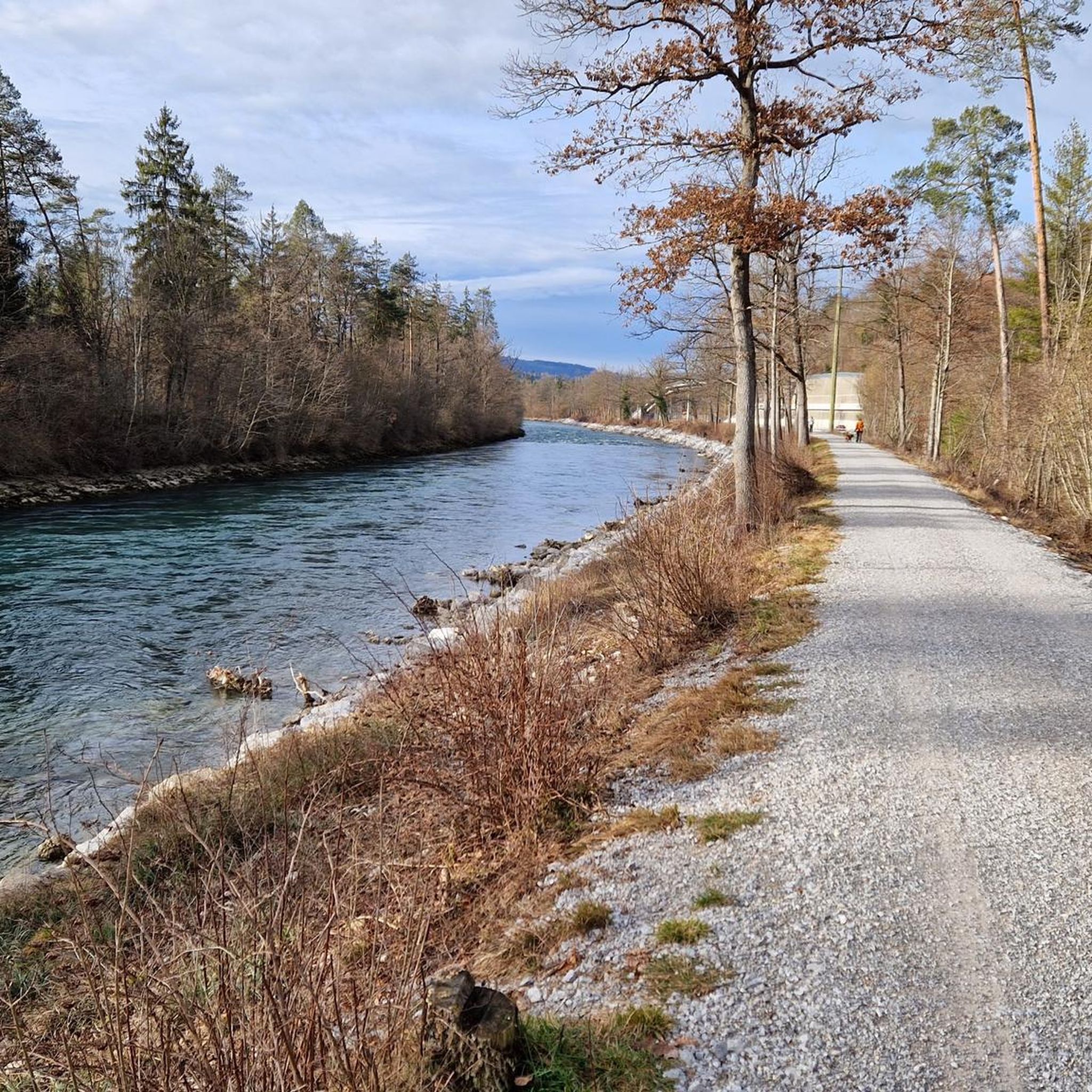
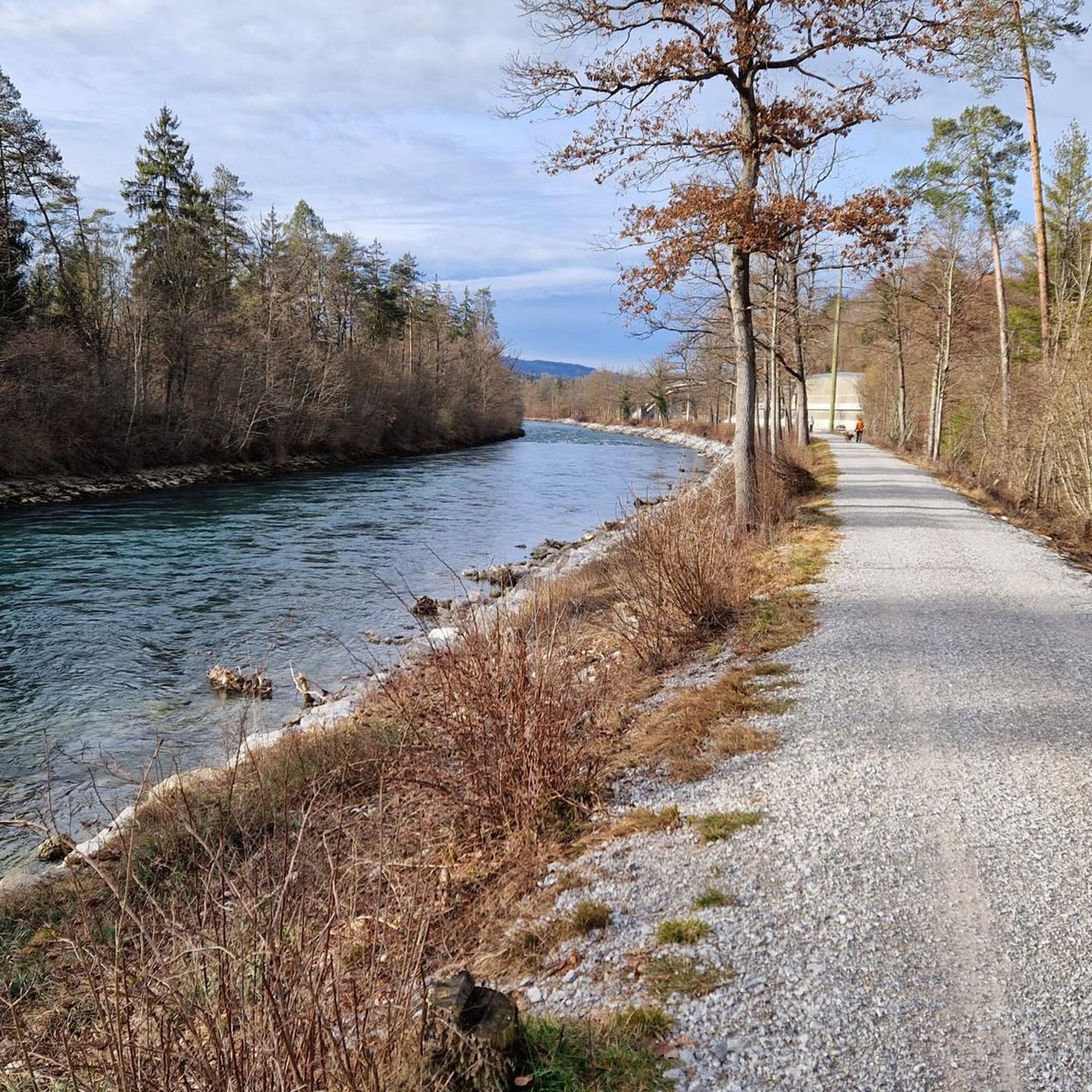

Other adventures around Heimberg

Tips from the Community

It's called Chatz u Muus (Cat and Mouse). That's because, from the Gürbe Valley, it looks as if a cat (Chatz) and a mouse (Muus) are sitting opposite each other. 🐁_🐈⬛
0
0
The panorama is magnificent. Despite the foothills of the Alps, you feel like you're on top of the world, especially above the sea of fog.
0
0

Beautiful alp on the way to the Sigriswiler Rothorn
7
0
Beautiful and little-frequented summit with panoramic views
7
0

Difficult ascent including easy climbing but at the top everything is forgotten, the effort was worth it, the view is amazing.
0
1

The Sigriswiler Rothorn (2,051 m) is an impressive vantage point high above Lake Thun ⛰️🌊. The ascent is mostly along the ridge and requires surefootedness and a head for heights ⚠️🥾 – caution is advised, especially in wet conditions. At the top, you'll be rewarded with a fantastic 360° panorama: views of the Eiger, Mönch, and Jungfrau, the Mittelland, and Lake Brienz and Lake Thun 🏔️👀 – ideal for a summit rest and impressive photos 📸. Equipment: Sturdy hiking boots, weather protection 🧥, provisions 🥪, water 💧. No food or drink options along the way. Recommendation: Set off early ⏰, and avoid the ridge in uncertain weather. An absolutely worthwhile summit for experienced hikers!
1
0
A beautiful spot with stunning views of the Bernese Oberland! ⛰️🌲. The trail is well marked, but surefootedness is required, especially in wet conditions ⚠️. Recommendation: Start early ⏰ to enjoy the peaceful morning atmosphere! Equipment: Sturdy hiking boots 🥾, weatherproof clothing 🧥, and poles 🦯 if needed. Note: No refreshment stops – bring plenty of water 💧 and provisions 🥪.
2
0
🚗 Blumenstein is the starting point of this hike. You can arrive by car or public transport. Parking is available in the village or near the church, where the hike starts. 🚶♂️ The hike from the church in Blumenstein to the Möntschelespitz (2021 m) and further to the Homad (2075 m) is challenging and takes about 6 to 7 hours. The route is well signposted, but steep and requires surefootedness, a head for heights and good fitness. Start the hike at the church in Blumenstein. Follow the signs towards Möntschelespitz. The path leads through forests and alpine meadows before it gets steeper and takes you into more alpine terrain. The climb is challenging, but worth the effort. From the Möntschelespitz you have a fantastic view of the Stockhorn, Lake Thun, the surrounding Alps and the Mittelland. From the Möntschelespitz the path continues to the Homad. This section of the hike also offers wonderful panoramic views. The summit of Homad offers spectacular panoramic views and is a perfect place for a longer rest. 🔭
0
0
Frequently Asked Questions
What is the typical difficulty level of mountaineering routes around Heimberg?
The mountaineering routes in the Heimberg area are generally considered difficult. They involve significant elevation changes and traverse challenging alpine terrain, making them suitable for experienced mountaineers.
Are there any circular mountaineering routes available near Heimberg?
Yes, all the featured mountaineering routes around Heimberg are circular. For example, you can explore the Chrümmelwägen Tunnel – Möntschelespitz loop from Blumenstein or the Alp Oberbärgli – Sigriswiler Rothorn Summit loop from Schwändiblueme, both offering challenging full-day experiences.
What kind of terrain can I expect on these mountaineering routes?
You can expect varied terrain, including forested sections, open mountain slopes, and high alpine pastures. The routes feature challenging ascents and descents typical of the Bernese Alps foothills, leading to high-altitude viewpoints.
What is the best time of year for mountaineering around Heimberg?
The best time for mountaineering in this region is typically during the warmer months, from late spring to early autumn (June to September), when trails are generally free of snow and weather conditions are more stable. Always check local weather forecasts before heading out.
Are the mountaineering routes around Heimberg suitable for families or beginners?
Given that all listed routes are rated as difficult and involve significant elevation gain and challenging terrain, they are generally not recommended for families with young children or beginner mountaineers. These routes are best suited for experienced individuals seeking demanding full-day adventures.
What do other mountaineers say about the routes in Heimberg?
The mountaineering routes around Heimberg are highly rated by the komoot community, with an average score of 5.0 stars from several reviews. Users often praise the challenging summit ascents and the expansive mountain views offered by routes like the Alp Oberbärgli – Sigriswiler Rothorn Summit loop.
Are there any notable landmarks or attractions near the mountaineering routes?
Yes, the Heimberg area is rich in attractions. You can find historical sites like Thun Old Town and Castle, or natural viewpoints such as the Blueme Observation Tower. Other interesting spots include the Amsoldingen Basilica and various bridges like the Schützenfahr Bridge over the Aare.
What should I wear or bring for mountaineering in this region?
For mountaineering in the Bernese Alps foothills, it's essential to wear sturdy, waterproof hiking boots, layered clothing suitable for changing mountain weather, and carry essentials like water, snacks, a map, compass or GPS, and sun protection. Trekking poles can also be very helpful on steep sections.
Is parking available at the trailheads for these routes?
While specific parking details for each trailhead are not provided, it is common for trailheads in Swiss alpine regions to have designated parking areas, often for a fee. We recommend checking local signage or using a mapping tool to locate parking options near Blumenstein or Schwändiblueme before your trip.
Can I bring my dog on these mountaineering routes?
Many trails in Switzerland are dog-friendly, but given the challenging nature of these mountaineering routes, ensure your dog is fit enough for long, strenuous hikes with significant elevation changes. Always keep dogs on a leash, especially in alpine pastures where livestock may be present, and be mindful of local regulations and wildlife.
How long do these mountaineering routes typically take to complete?
These routes are full-day excursions. For instance, the Chrümmelwägen Tunnel – Möntschelespitz loop takes approximately 6 hours and 43 minutes, while the Möntschelespitz loop from Blumenstein can take around 7 hours and 23 minutes, depending on your pace and breaks.
Are there any less crowded or 'hidden gem' mountaineering routes in the Heimberg area?
While the listed routes are popular for their challenging nature and views, the Möntschelespitz loop from Blumenstein offers a deep dive into alpine terrain and forests, providing a rewarding experience away from the most frequented paths. Exploring during off-peak times can also enhance the sense of solitude.
Most popular routes around Heimberg
Most popular attractions around Heimberg

Get inspired with the komoot mobile app


Explore more
Browse the best Mountain Hikes & Routes in other regions.
