The best walks and hikes around Castellet-Lès-Sausses
4.6
(527)
3,636
hikers
105
hikes
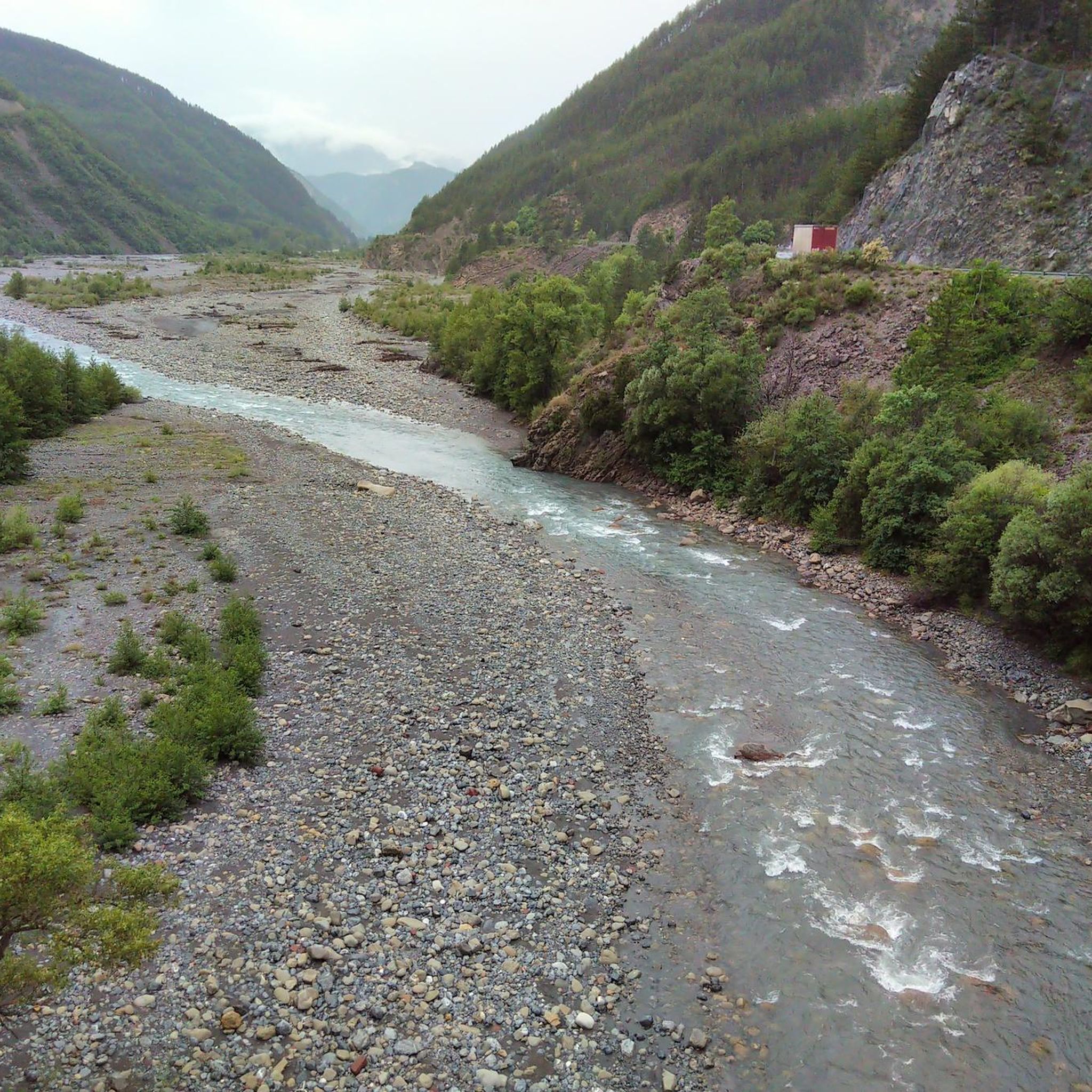
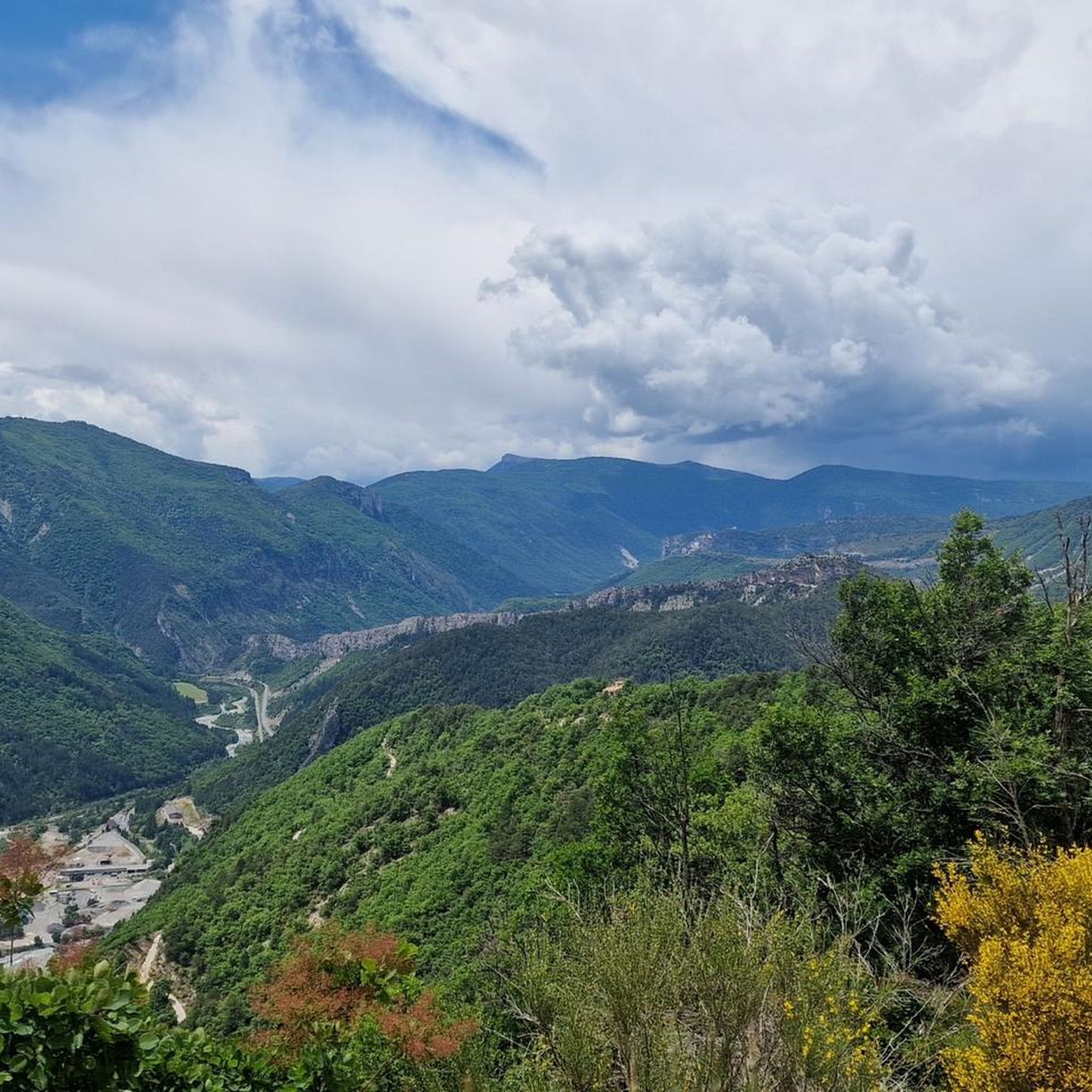
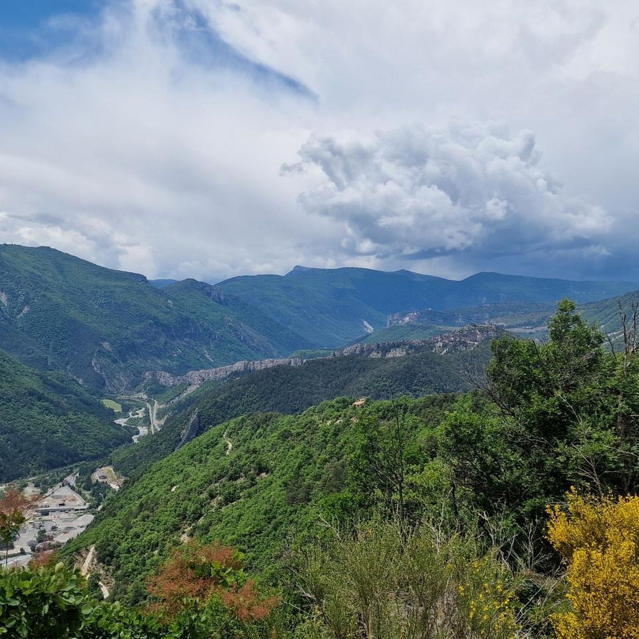
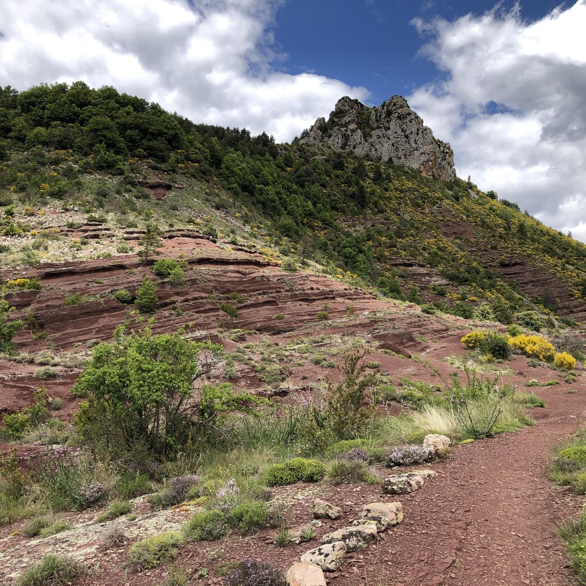
Hiking around Castellet-Lès-Sausses offers access to diverse natural landscapes within the Alpes-de-Haute-Provence. The region is characterized by the dramatic red rock formations of the Gorges de Daluis, carved by the Var River, and panoramic views over the Var valley. Trails traverse a mix of forests, mid-mountain pastures, and wild gorges, with some routes providing views of the Mercantour peaks. This varied terrain provides a range of hiking experiences.
Best hiking trails around Castellet-Lès-Sausses
- The most popular hiking route is Historic Center of Entrevaux – view of the Var loop from Entrevaux, a 3.9 miles (6.3 km) trail that takes about 2 hours 15 minutes to complete. This moderate route offers views of the Var valley and the historic village.
- Another top favourite among local hikers is Aurent Village – Argenton Trail loop from Col du Fa, a moderate 9.2 miles (14.7 km) path. This trail leads through varied terrain, including forests and open areas, offering expansive views.
- Local hikers also love the The Trembling Stone – From canal to torrent loop from Braux, a 4.5 miles (7.2 km) trail leading through a landscape featuring canals and torrents, often completed in about 2 hours 10 minutes.
- Hiking around Castellet-Lès-Sausses is defined by the red rock formations of the Gorges de Daluis, the Var valley, and a mix of forests and mid-mountain pastures. The network offers options for different ability levels, from moderate loops to more challenging paths.
- The routes in Castellet-Lès-Sausses are highly rated by the komoot community with an average score of 4.6 stars from over 500 reviews. More than 3500 hikers have used komoot to explore Castellet-Lès-Sausses's varied terrain.
Last updated: July 9, 2026
4.4
(8)
47
hikers
6.33km
02:17
340m
340m
Moderate hike. Good fitness required. Easily-accessible paths. Suitable for all skill levels.
4.5
(4)
31
hikers
11.0km
03:23
350m
350m
Moderate hike. Good fitness required. Easily-accessible paths. Suitable for all skill levels.

Sign up for free
4.0
(3)
10
hikers
14.7km
04:56
700m
700m
Moderate hike. Good fitness required. Easily-accessible paths. Suitable for all skill levels.
4.5
(2)
12
hikers
11.9km
04:02
570m
570m
Moderate hike. Good fitness required. Easily-accessible paths. Suitable for all skill levels.
4.9
(7)
92
hikers
4.26km
01:06
20m
20m
Easy hike. Great for any fitness level. Easily-accessible paths. Suitable for all skill levels.
Get access to more routes and recommendations from other explorers.
Sign up for free
Already have an account?
Our route recommendations are based on thousands of hikes, rides, and runs completed by other people on komoot.
Start today with a free account
Your next adventure awaits.
Login or Signup
Tips from the Community


The climb to the citadel is the absolute highlight of Entrevaux and a must-do. The zigzag path along the medieval fortress wall offers sensational views of the Var Valley, the historic town of Entrevaux, and the surrounding countryside with distant vistas. The cost of €5 is entirely justified for such beautiful views.
5
0
In addition to the citadel, cathedral, and its gates, Entrevaux also boasts a beautiful and cozy historic center. The Place Charles Panier and Place du Planet, in particular, invite you to linger in one of the cafés or restaurants.
5
0
The Cathedral of Our Lady of the Assumption of the Diocese of Glandèves was located outside Entrevaux in the Glandèves district until the 16th century. For security reasons, the bishops moved their seat one kilometer west to Entrevaux in the early 17th century, where they had the Cathedral of Our Lady of the Assumption built between 1612 and 1630. The bell tower was built between 1657 and 1671. Since the suppression of the diocese in 1801, the cathedral has been the parish church of Entrevaux. Today, it belongs to the parish of the Secteur paroissial du Var. Annot – Entrevaux. Source and further information: https://de.wikipedia.org/wiki/Kathedrale_Notre-Dame-de-l’Assomption_(Entrevaux)
4
0

as the Nice group Nux Vomica sang, Entrevaux is already France
0
0

Currently costs 5 euros admission
0
0
interesting building with its cannonballs
0
0
to visit out of season to enjoy. dungeons open, do not miss going up to the orientation table in the dungeon
0
0
Frequently Asked Questions
What are the main natural features I can expect to see while hiking around Castellet-lès-Sausses?
The region is famous for the dramatic Gorges de Daluis, often called the "Little Colorado of Nice" due to its spectacular red rock formations carved by the Var River. You'll also find panoramic views over the Var valley, and some trails offer glimpses of the Mercantour peaks. The landscape is a mix of forests, mid-mountain pastures, and wild gorges.
What are the difficulty levels of hiking trails in Castellet-lès-Sausses?
The trails around Castellet-lès-Sausses cater to various skill levels. Out of over 100 available routes, you'll find approximately 19 easy trails, 56 moderate routes, and 31 more challenging options. This variety ensures there's a suitable hike for almost everyone.
Are there any family-friendly hiking options in the area?
Yes, there are several options suitable for families. For an easier outing, consider the Historic Center of Entrevaux – view of the Var loop from Entrevaux, a moderate 6.3 km route that takes about 2 hours 15 minutes. It offers scenic views without being overly strenuous.
Are there circular hiking routes available around Castellet-lès-Sausses?
Yes, many of the trails in the region are circular. For example, the Aurent Village – Argenton Trail loop from Col du Fa is a moderate 14.7 km path that leads through varied terrain. Another option is The Trembling Stone – From canal to torrent loop from Braux, a 7.2 km route.
What are some notable viewpoints or landmarks to look out for on the trails?
Hikers often seek out the View of the Gorges de Daluis for its stunning vistas of the red canyon. Other points of interest include the Bride's Bridge and the King's Chamber. The Champs Pass also offers excellent views.
When is the best time of year to hike in Castellet-lès-Sausses?
The region is generally pleasant for hiking from spring through autumn. Spring offers lush greenery and wildflowers, while autumn brings vibrant colors. Summer is also suitable, especially for higher altitude trails or early morning hikes to avoid the midday heat. Some trails may offer winter hiking opportunities, but conditions can vary.
Are there any waterfalls to discover on the hiking trails?
Yes, the region features natural water attractions. You can find the Lance Waterfall, which is a highlight for many hikers. The Var River also offers opportunities for water activities during spring and summer.
What do other hikers enjoy the most about hiking in Castellet-lès-Sausses?
The area is highly rated by the komoot community, with an average score of 4.6 stars from over 500 reviews. Reviewers often praise the dramatic red rock formations of the Gorges de Daluis, the diverse landscapes ranging from forests to mountain pastures, and the panoramic views over the Var valley and Mercantour peaks.
Are there opportunities for wild swimming or water activities near the hiking routes?
During spring, when snowmelt provides sufficient water, canoe-kayaking and canoe-rafting are possible in the Var River through the gorges. In the summer, water hiking is also an option in certain areas of the Var River.
Can I find any short or easy hikes for a quick outing?
Yes, there are approximately 19 easy trails in the region. A good option for a shorter, moderate hike is the Historic Center of Entrevaux – view of the Var loop from Entrevaux, which is 6.3 km long and typically takes around 2 hours 15 minutes to complete.
What kind of terrain can I expect on the trails?
The terrain is quite varied. You'll encounter paths traversing the red pelite rock formations of the Gorges de Daluis, trails through the Var valley, and routes that wind through forests and mid-mountain pastures. Some more challenging hikes may involve ridges with views of the Mercantour peaks.
Most popular routes around Castellet-Lès-Sausses
Most popular attractions around Castellet-Lès-Sausses

Get inspired with the komoot mobile app


Explore more
Browse the best Hikes in other regions.
