The best walks and hikes around Montlevicq
4.6
(71)
236
hikers
43
hikes
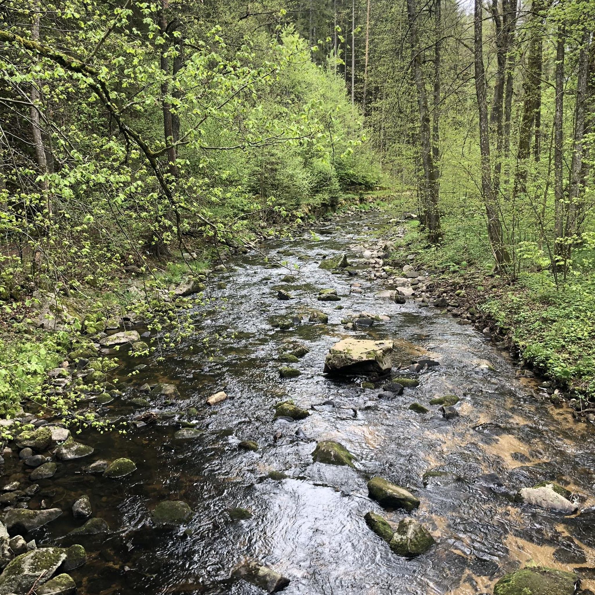
Hiking around Montlevicq offers access to a diverse landscape within the Indre region of France. The terrain is characterized by valleys, through which rivers and streams flow, alongside extensive forests and wooded areas. Agricultural lands and vineyards also contribute to the varied scenery. The wider Indre region features an extensive network of marked footpaths, providing numerous options for outdoor activities.
Best hiking trails around Montlevicq
- The most popular hiking route is Les Maitres Sonneurs: Champillet Loop, an easy 4.3…
Last updated: October 4, 2026
4.5
(4)
10
hikers
6.95km
01:49
50m
50m
Hike the easy 4.3-mile Les Maitres Sonneurs: Champillet Loop through hedgerows, forests, and pastures, gaining 170 feet in 1h 49m.
5.0
(1)
14
hikers
5.48km
01:26
50m
50m
Easy hike. Great for any fitness level. Easily-accessible paths. Suitable for all skill levels.

5.0
(9)
11
hikers
9.31km
02:27
80m
80m
Moderate hike. Good fitness required. Easily-accessible paths. Suitable for all skill levels.
4.7
(3)
8
hikers
5.19km
01:21
30m
30m
Easy hike. Great for any fitness level. Easily-accessible paths. Suitable for all skill levels.
4.5
(2)
6
hikers
20.3km
05:18
150m
150m
Hard hike. Very good fitness required. Easily-accessible paths. Suitable for all skill levels.
Get access to more routes and recommendations from other explorers.
Already have an account?
Our route recommendations are based on thousands of hikes, rides, and runs completed by other people on komoot.
Start today with a free account
Your next adventure awaits.

Tips from the Community

In the heart of La Châtre stands a beautifully preserved half-timbered house that immediately stands out among the other facades. Stop by during your stroll through the town center: the house is situated at a junction of narrow streets and adds a touch of history to your walk. A great photo opportunity!
3
0
Unfortunately, the campsite restaurant/bar is closed outside of peak season. So, we decided to take a short break on the benches.
3
0
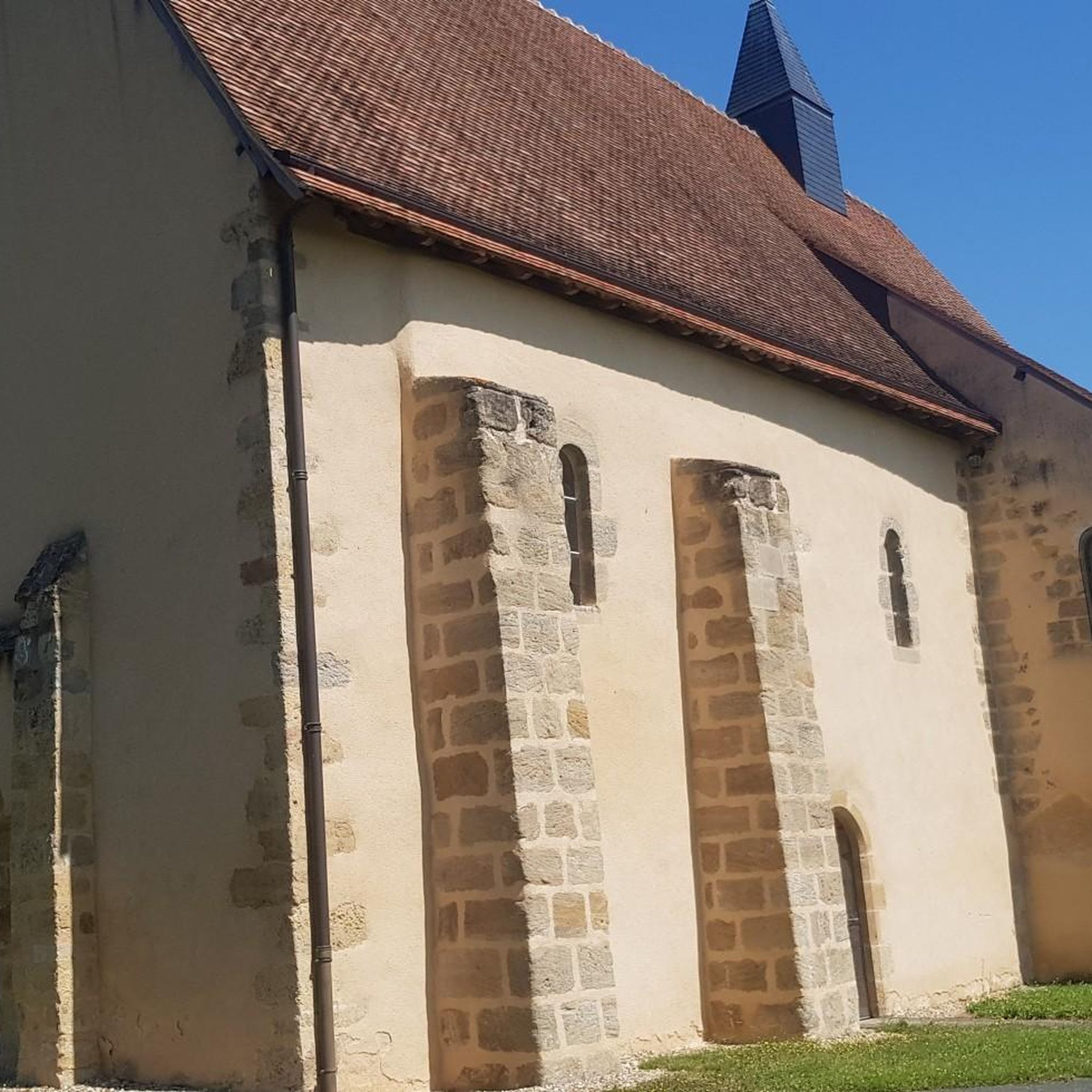
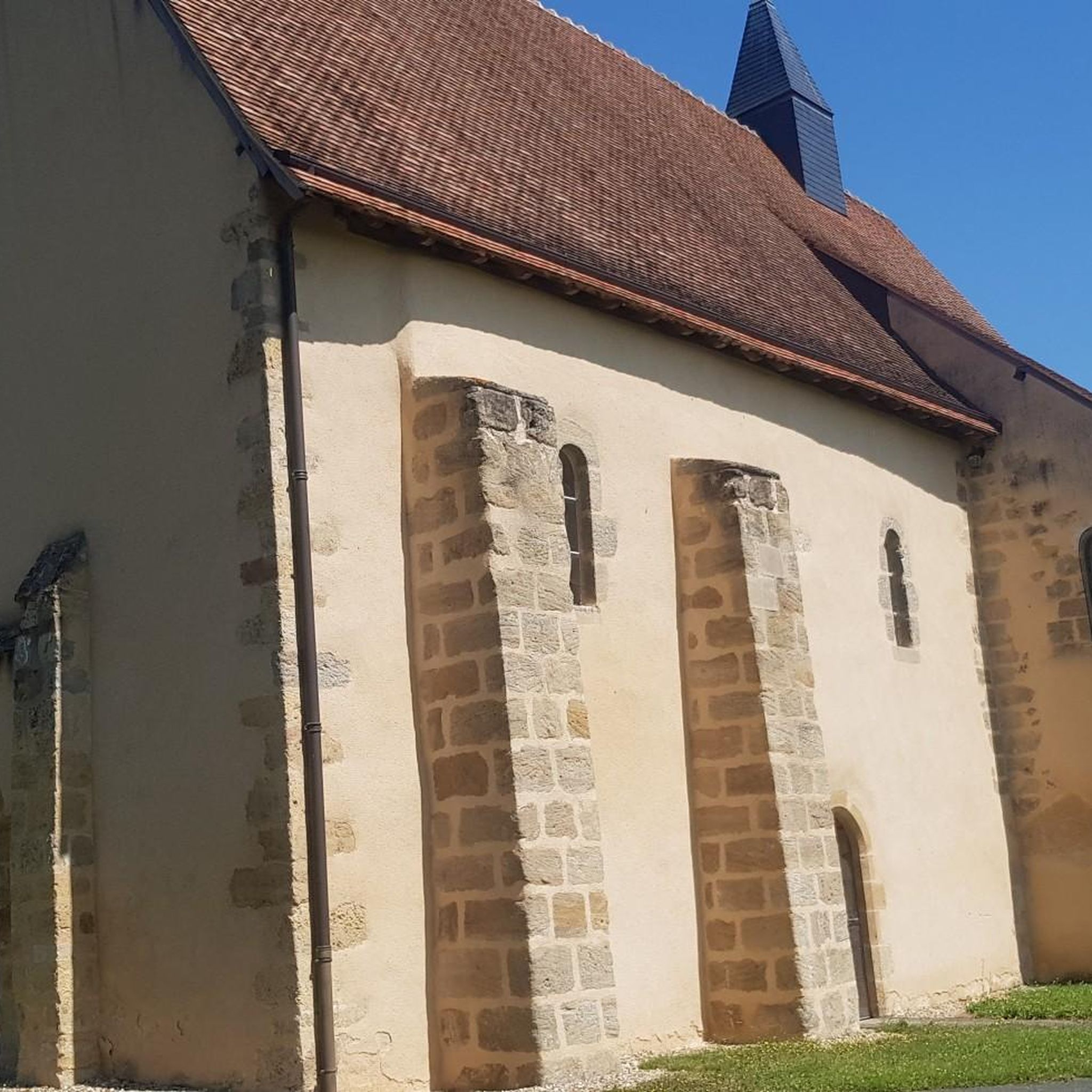
A small village church with character. It overlooks the Etang de la commune Champillet, where there's also plenty of space and picnic tables for a break.
3
0
In the heart of La Châtre stands the Église Saint-Germain. Graceful, but with a past that has literally collapsed. In 1896, the bell tower collapsed, dragging the entire church down with it. What you see now is a rebirth in stone. Step back in the square for a moment, look up at the new tower, and imagine the chaos of that time. Inside, the stained-glass windows bathe the light in warm hues, as if the church itself is trying to say, "I'm here again."
3
0
Walk to the "Grand Font" at the foot of the keep and pause at the small chapel with its three alcoves. See how the spring flows from beneath the stone – a silent witness to centuries of faith and healing.
3
0
Enter the old fortress of La Chatre and knock on the door of the keep: it now houses a mini-museum (musee de poche) full of manuscripts by George Sand, taxidermy, and documents about the Vallée Noire. Did you know that tickets are deliberately rounded up—any surplus goes towards restoration—and that you'll be walking inside the walls that were once prisons?
3
0

A beautiful church with a great statue of St. James
1
0

Quiet little campsite with a pool and a good restaurant. I can only recommend it!
1
0
Frequently Asked Questions
How many hiking trails are available around Montlevicq?
There are over 45 hiking routes around Montlevicq, offering a wide range of options for different skill levels and preferences. The wider Indre region boasts approximately 7,000 kilometers of marked footpaths.
What types of landscapes can I expect to see while hiking near Montlevicq?
Hiking around Montlevicq takes you through diverse landscapes characterized by picturesque valleys with flowing rivers and streams, extensive forests and wooded areas, and fertile agricultural lands. You may also encounter vineyards on cultivated plateaus, all within the natural beauty of the Loire-Anjou-Touraine Natural Park.
Are there any easy hiking trails suitable for beginners or families?
Yes, Montlevicq offers several easy trails. For example, the Camping Val Vert en Berry loop from La Châtre is an easy 5.5 km path with gentle elevation changes. Another accessible option is the Étang de Meillaie loop from Urciers, which is 5.2 km long and leads through varied natural surroundings.
What do other hikers enjoy most about the trails in Montlevicq?
The hiking routes in Montlevicq are highly rated by the komoot community, with an average score of 4.7 stars from over 70 reviews. Hikers often praise the varied terrain, the quiet woodlands, and the well-maintained paths that showcase the region's natural beauty.
Are there any challenging routes for experienced hikers?
Yes, for those seeking a more demanding experience, Montlevicq offers several difficult routes. An example is the Vineyards of Châteaumeillant – View of the Countryside loop from Urciers, a 20.3 km trail with significant elevation changes.
Can I find circular hiking routes around Montlevicq?
Many of the trails around Montlevicq are designed as circular routes, allowing you to start and end at the same point. Examples include the Les Maitres Sonneurs: Champillet Loop and the The Sainte Radegonde Fountain – Saint-Germain Church loop from Briantes.
What are some notable landmarks or attractions I can see near the hiking trails?
While hiking, you can explore several interesting landmarks. These include historical religious buildings such as the Saint-Germain Church of La Châtre, Saint Peter's Church, and Saint-Genès Church. For cultural insights, consider visiting the George Sand and Black Valley Museum.
What is the best time of year for hiking in Montlevicq?
The Indre region generally offers pleasant hiking conditions throughout much of the year. Spring and autumn provide mild temperatures and beautiful scenery, with blooming flowers or vibrant fall foliage. Summer can also be enjoyable, especially in the shaded forest areas, but it's advisable to hike earlier in the morning or later in the afternoon to avoid the midday heat.
Are there any trails that pass through vineyards?
Yes, some trails around Montlevicq traverse cultivated plateaus where vineyards thrive. The Vineyards of Châteaumeillant – View of the Countryside loop from Urciers is a specific route that highlights the region's viticultural landscape.
Are there options for moderate difficulty hikes?
Absolutely. Montlevicq has a good selection of moderate trails, with 26 routes falling into this category. An example is The Sainte Radegonde Fountain – Saint-Germain Church loop from Briantes, which is 9.3 km long and offers a balanced challenge.
Most popular attractions around Montlevicq

Get inspired with the komoot mobile app


Explore more
Browse the best Hikes in other regions.
