The best walks and hikes around Marigny-L'Église
4.4
(908)
3,872
hikers
16
hikes
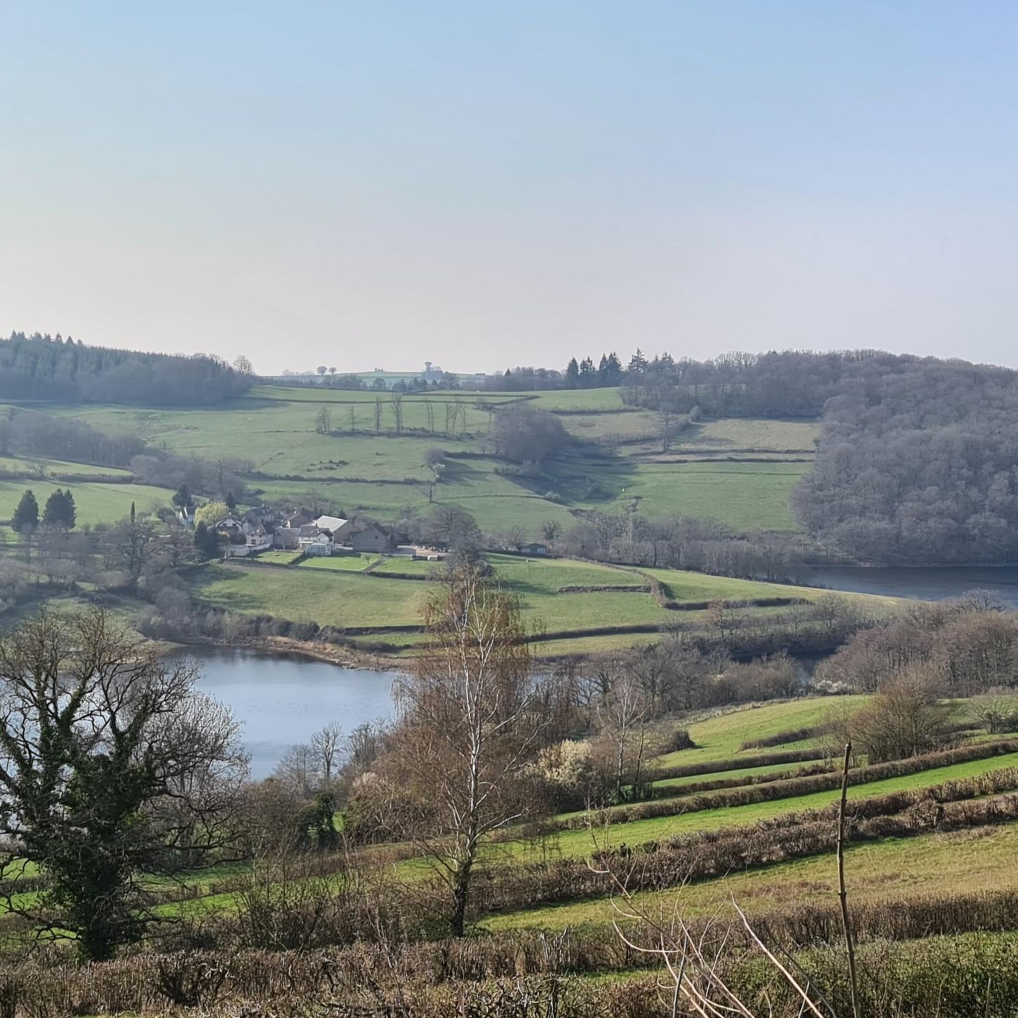
Hiking around Marigny-L'Église offers trails through the Morvan Regional Natural Park, characterized by its dense forests, rolling hills, and significant reservoirs. The landscape features varied terrain, from gentle paths along water bodies to more challenging ascents. This region provides opportunities to explore natural waterways and woodlands.
Best hiking trails around Marigny-L'Église
- The most popular hiking route is The Chaumeçon reservoir — loop in the Morvan Regional Natural Park, a 9.1 miles (14.6 km) trail that takes 4 hours 4…
Last updated: October 9, 2026
3.6
(5)
29
hikers
14.1km
04:00
320m
320m
Moderate hike. Good fitness required. Easily-accessible paths. Suitable for all skill levels.
5.0
(3)
13
hikers
12.6km
03:40
350m
350m
Moderate hike. Good fitness required. Easily-accessible paths. Suitable for all skill levels.

5.0
(1)
8
hikers
4.70km
01:14
40m
40m
Easy hike. Great for any fitness level. Easily-accessible paths. Suitable for all skill levels.
5.0
(1)
9
hikers
3.73km
00:59
30m
30m
Easy hike. Great for any fitness level. Easily-accessible paths. Suitable for all skill levels.
4
hikers
5.08km
01:31
170m
170m
Easy hike. Great for any fitness level. Easily-accessible paths. Suitable for all skill levels.
Get access to more routes and recommendations from other explorers.
Already have an account?
Our route recommendations are based on thousands of hikes, rides, and runs completed by other people on komoot.
Start today with a free account
Your next adventure awaits.
Popular around Marigny-L'Église
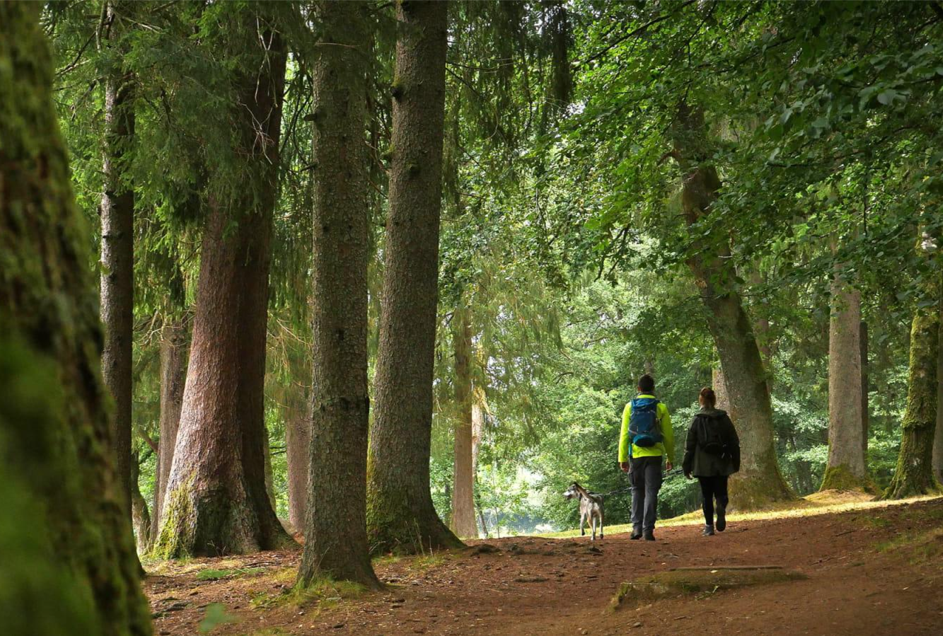
Tour du Morvan — The little mountain of Burgundy
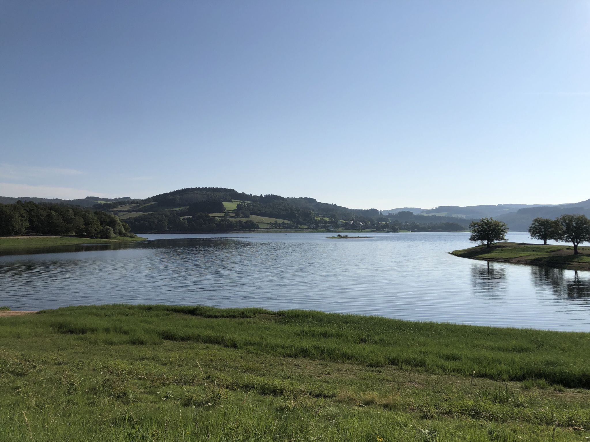
Between summits and big lakes — gravel riding in France’s Morvan park
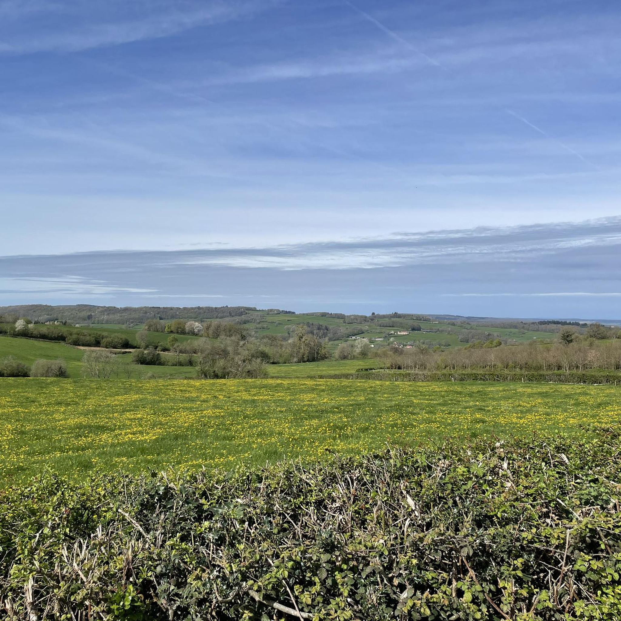
MTB Trails around Marigny-L'Église
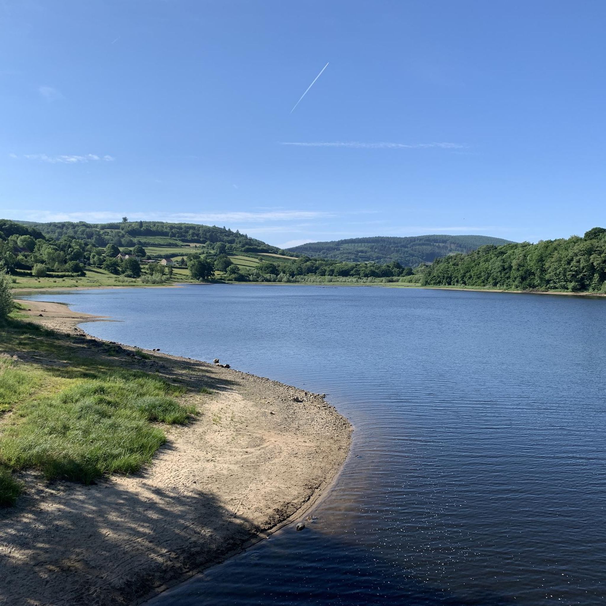
Road Cycling Routes around Marigny-L'Église
Cycling around Marigny-L'Église
Running Trails around Marigny-L'Église

Gravel biking around Marigny-L'Église


Tips from the Community

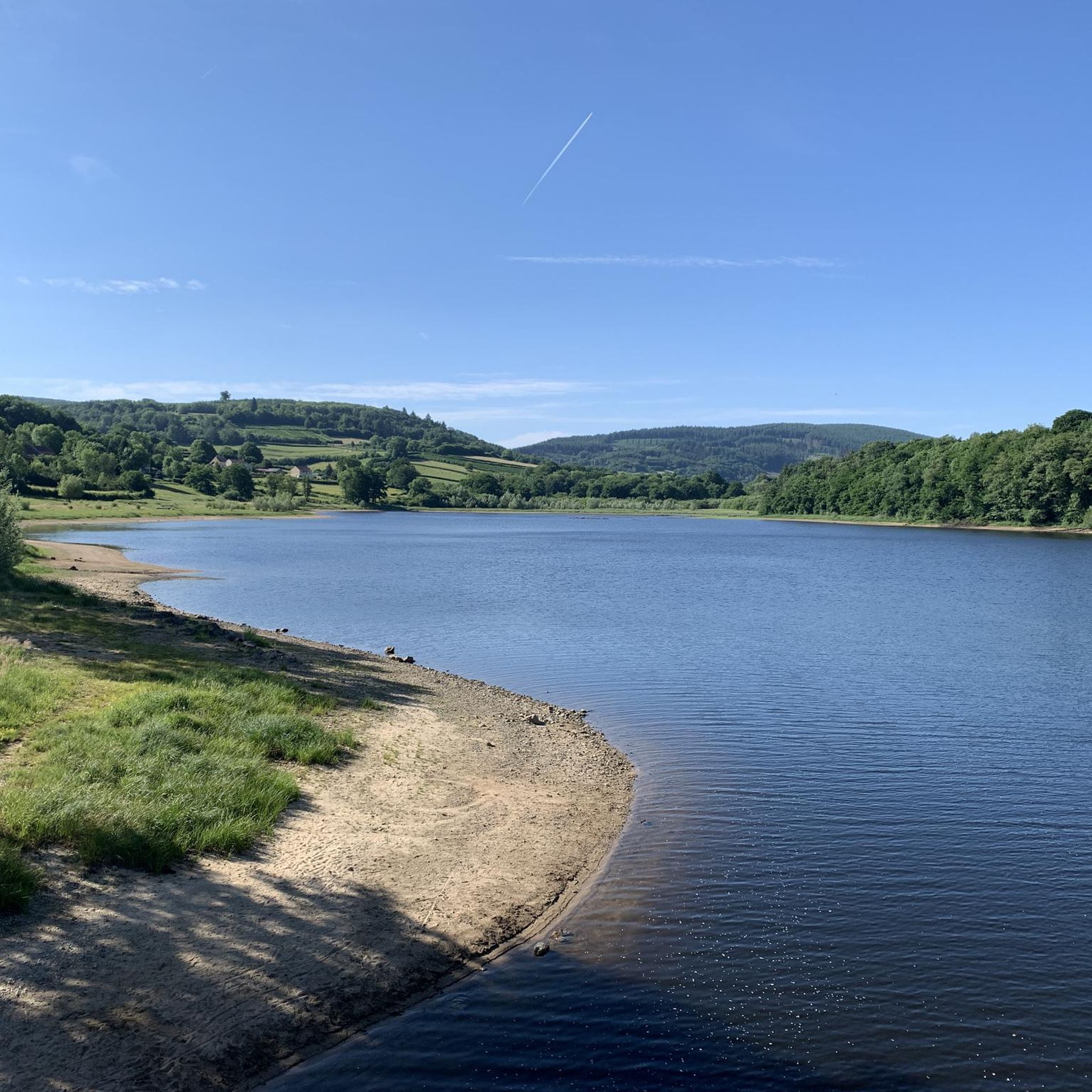
Crescent Lake is one of the six large lakes of the Morvan. It owes its name to its crescent shape and offers a magnificent natural setting.
0
0
This wooden bridge spans the Cure River. It offers a bucolic setting. Be careful when crossing, the planks are not wide.
0
0
Enjoy a lovely view of the Cure. The main tributary of the Yonne, it is THE main river of the Morvan.
0
0

Crescent Lake owes its name to its crescent shape. It is popular with local fishermen and also with swimmers who can visit its beach to cool off. Camping is also permitted. This lake, with its exceptionally bucolic setting, was chosen as the location in 2015 by Michel Gondry for filming his movie Microbe and Gazoil.
1
0

There is no possibility of touring the lake by mountain bike along the banks, but rather by taking the road. However, check that the road that passes over the dam is open (temporarily closed until June 25, 2025 for us!).
1
0

Very dedicated owner who is restoring the old mill on a voluntary basis and at the same time uses it as a place to stroll and relax.
0
0

The Crescent Dam was built between 1929 and 1932. A gravity dam, it is 330 meters long and 37 meters high. Its width at the base is 24 meters and at the crest 3.5 meters. It was built on the initiative of SA Compagnie HydroElectrique de la Cure and was owned by the City of Paris until 1946. The dam was built to regulate the waters of the Yonne and Seine rivers and thus prevent flooding in Paris, while also producing electricity. More than 165 hectares of cultivated land, hamlets, mills, and paths were flooded to allow the creation of the reservoir (maximum depth of 40 meters). It occupies four municipalities and two departments, and is fed by the Cure and Chalaux rivers. The structure was partly financed by war reparations owed by Germany to France after the First World War. This is why much of the dam's mechanisms are German-made. The road across it is narrow and only allows passage for one vehicle. Fortunately, there is very little traffic.
1
0
Straddling the departments of Nièvre and Yonne, with an area of 138 ha, Lac du Crescent owes its name to its "crescent" shape. This lake is formed by a hydroelectric dam built in 1930 and financed as German war damage linked to the 1st World War. The dam is 330 m long, 37 m high and the capacity of the lake is 14 million m3. The Crescent reservoir is fed by the most famous trout rivers in the Morvan: the Cure and the Chalaux. It is therefore a good fishing spot, like all the neighboring lakes of the Morvan, but a swimming area has also been set up on the side of the Yonne in the town of Chastellux sur Cure.
0
0
Frequently Asked Questions
How many hiking trails are available around Marigny-L'Église?
There are over 190 hiking trails around Marigny-L'Église. These routes offer a variety of experiences, from easy strolls to more challenging excursions through the Morvan Regional Natural Park.
What is the general difficulty level of hikes in Marigny-L'Église?
The trails around Marigny-L'Église offer a balanced mix of difficulties. There are 87 easy routes, 87 moderate routes, and 20 more difficult trails, catering to various fitness levels and preferences.
Are there easy hiking trails suitable for beginners in Marigny-L'Église?
Yes, there are plenty of easy options. For example, the Hiking loop from AN Rafting Morvan is an easy 4-mile (6.4 km) route that takes about 2 hours to complete, perfect for a relaxed walk.
Are there family-friendly hiking options around Marigny-L'Église?
Many of the easy and moderate trails are suitable for families, especially those with gentle terrain and scenic views. Look for routes that are shorter in distance and have minimal elevation gain, often found around the reservoirs or through less dense woodlands.
Can I bring my dog on the hiking trails in Marigny-L'Église?
Generally, dogs are welcome on trails within the Morvan Regional Natural Park, but it's always recommended to keep them on a leash to protect local wildlife and ensure a pleasant experience for all hikers. Always check specific trail regulations if posted.
Are there circular hiking routes available near Marigny-L'Église?
Yes, many of the routes in the area are circular, allowing you to start and end at the same point. An excellent example is the Lake Crescent – Crescent Dam loop from Lac du Crescent, a 8.7-mile (14 km) moderate hike.
Is parking available at the trailheads around Marigny-L'Église?
Parking is generally available at common starting points for popular trails, especially near major attractions like reservoirs or villages. However, for specific routes, it's always a good idea to check the route details on komoot for designated parking areas.
Are there any waterfalls or interesting natural sights to see on the hikes?
Yes, the region is rich in natural beauty. You can discover sights like Le saut de Gouloux (waterfall and mill ruins), offering a picturesque spot to explore. The area also features several beautiful lakes and viewpoints.
What other attractions or landmarks can I explore near the hiking trails?
Beyond the trails, you can visit historical and cultural sites. Notable attractions include the ancient Chevresse Dolmen, the impressive Crescent Dam, or the historic Bazoches Castle.
What do other hikers say about the trails around Marigny-L'Église?
The hiking trails around Marigny-L'Église are highly rated by the komoot community, with an average score of 4.4 stars from over 700 reviews. Hikers often praise the diverse landscapes, from dense forests to serene reservoir views, and the well-maintained paths within the Morvan Regional Natural Park.
Are there any trails that offer views of the reservoirs?
Absolutely. The region is known for its reservoirs. The Chaumeçon reservoir loop is a popular choice, offering continuous views of the water and surrounding woodlands. Another great option is the Chaumeçon Dam – Le champ du Pont loop.
What kind of terrain can I expect on the hikes in Marigny-L'Église?
You can expect varied terrain, typical of the Morvan Regional Natural Park. Trails often wind through dense forests, over rolling hills, and along the shores of reservoirs and rivers. Some paths are gentle and well-trodden, while others may involve more rugged sections or moderate ascents.
Most popular routes around Marigny-L'Église
Most popular attractions around Marigny-L'Église

Get inspired with the komoot mobile app


Explore more
Browse the best Hikes in other regions.
