The best walks and hikes around Uhart-Mixe
4.5
(154)
872
hikers
63
hikes
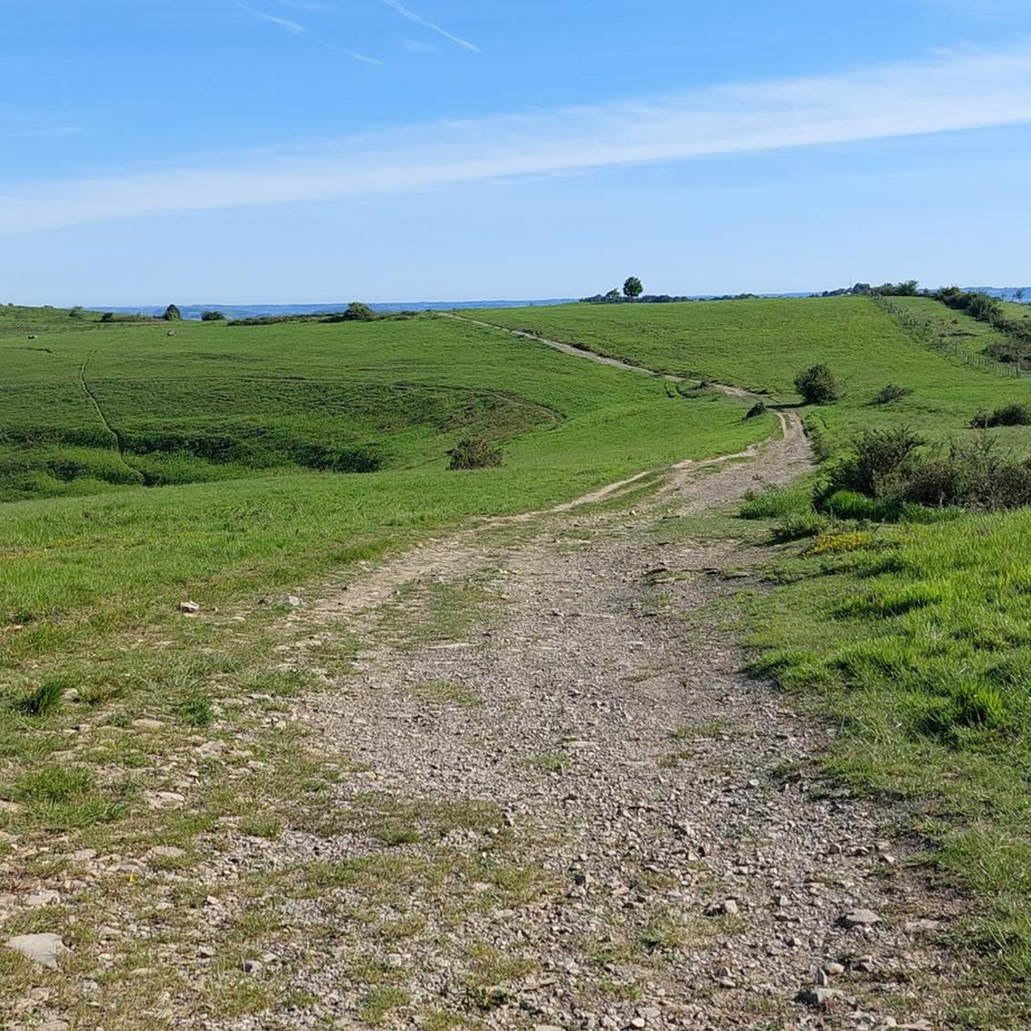
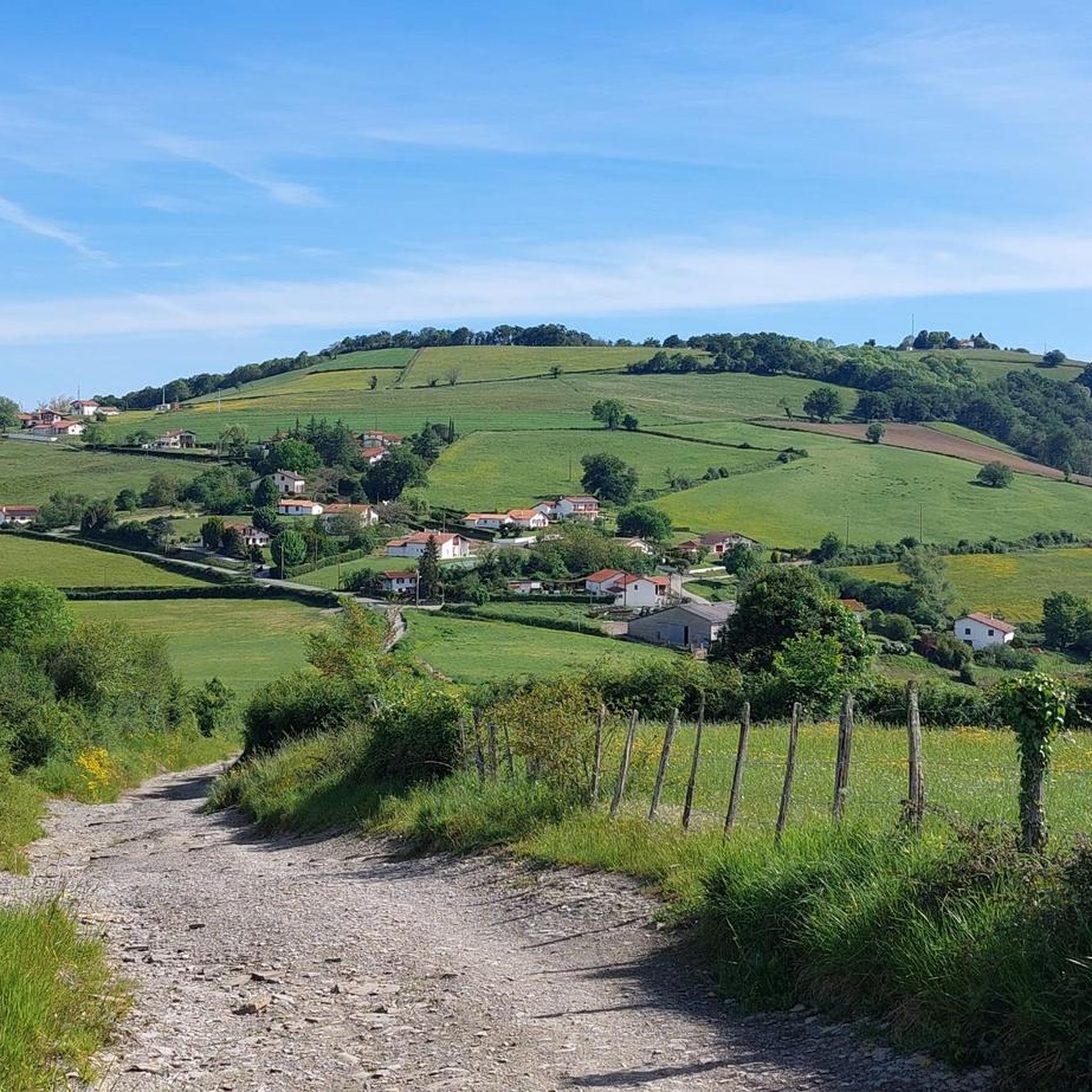
Hiking around Uhart-Mixe offers a variety of trails through the rolling landscape of the French Basque Country. The region is characterized by green hills, agricultural land, and scattered woodlands, providing diverse scenery for outdoor activities. Hikers can expect routes that traverse open fields and ascend to viewpoints, often featuring historical landmarks. The terrain generally includes moderate ascents and descents, suitable for a range of abilities.
Best hiking trails around Uhart-Mixe
- The most popular hiking route is Gibraltar Stele – Chapelle…
Last updated: July 3, 2026
4.3
(7)
33
hikers
9.94km
02:56
290m
290m
Moderate hike. Good fitness required. Easily-accessible paths. Suitable for all skill levels.
4.3
(7)
32
hikers
11.4km
03:20
300m
300m
Moderate hike. Good fitness required. Easily-accessible paths. Suitable for all skill levels.

Sign up for free
4.6
(7)
27
hikers
14.3km
04:19
460m
460m
Moderate hike. Good fitness required. Easily-accessible paths. Suitable for all skill levels.
4.5
(2)
13
hikers
6.38km
01:57
220m
210m
Easy hike. Great for any fitness level. Easily-accessible paths. Suitable for all skill levels.
4.5
(2)
17
hikers
7.89km
02:25
280m
280m
Moderate hike. Good fitness required. Easily-accessible paths. Suitable for all skill levels.
Get access to more routes and recommendations from other explorers.
Sign up for free
Already have an account?
Our route recommendations are based on thousands of hikes, rides, and runs completed by other people on komoot.
Start today with a free account
Your next adventure awaits.
Login or Signup

Tips from the Community

The chapel is closed to the public, but it's an ideal spot for a sheltered picnic.
0
0

beautiful view, there is water and, if necessary, a rainproof place (for a maximum of 2 people), it is on the Way of St. James and you often meet other hikers or cyclists
0
0


The small village of Saint-Palais is located at the crossroads of the three Basque provinces of Labourd, Basse Navarre and Soule. Former capital of Navarre, the village has managed to preserve its traditions and its authentic culture.
1
0

Between Saint-Palais and Ostabat, three French Ways of St. James meet at a particularly beautiful stele, which lead together to Saint-Jean-Pied-de-Port. Via Podiensis / Voie du Puy-en-Velay Via Lemovicensis / Voie de Vezelay Via Touronensis / Voie de Tours
1
0

Near Ostabat, the Gibraltar Stele marks the spot where the three great routes to Santiago meet.
3
0
In the small hamlet of Gibraltar, a special cross stone marks the point where the Camino from Tours, Vezelay and Le Puy meet. From here they continue together.
0
0
Frequently Asked Questions
How many hiking trails are there in Uhart-Mixe?
Uhart-Mixe offers a wide selection of hiking opportunities, with over 60 routes available. These trails vary in difficulty, catering to different experience levels.
Are there easy hiking trails suitable for beginners in Uhart-Mixe?
Yes, Uhart-Mixe has a good selection of easy trails. There are 20 routes classified as easy, perfect for beginners or those looking for a relaxed walk. An example is the Chapelle de Soyarza loop from Arhansus, which is 6.4 km long.
Are there many circular hiking routes available in Uhart-Mixe?
Many of the trails around Uhart-Mixe are designed as circular routes, allowing you to start and finish at the same point. This includes popular options like the Chapelle de Soyarza – Gibraltar Stele loop from Manano.
What is the typical duration of hikes around Uhart-Mixe?
Hikes around Uhart-Mixe vary in duration. Easy routes can take around 1.5 to 2 hours, while moderate trails often range from 2.5 to 4 hours. Longer, more challenging routes can extend beyond 4 hours, depending on your pace and the specific trail.
Are there challenging or advanced hiking routes for experienced hikers in Uhart-Mixe?
Yes, for experienced hikers seeking more challenge, there are 10 difficult routes available in Uhart-Mixe. These trails typically feature greater elevation changes and longer distances, such as the Gibraltar Stele – Chapelle de Soyarza loop from Orsanco, which covers 14.4 km with significant ascent.
When is the best time of year to go hiking in Uhart-Mixe?
The best time to hike in Uhart-Mixe is generally from spring through autumn (April to October), when the weather is mild and the landscapes are lush. Summer offers warm conditions, while spring and autumn provide pleasant temperatures and beautiful seasonal colors.
What are the conditions like for winter hiking in Uhart-Mixe?
Winter hiking in Uhart-Mixe is possible, but conditions can be cooler and wetter. While heavy snow is less common in the lower hills, trails can be muddy. Always check local weather forecasts and wear appropriate waterproof gear if hiking during the colder months.
Are there family-friendly walking routes in Uhart-Mixe?
Many of the easier and moderate trails in Uhart-Mixe are suitable for families. The rolling hills and well-defined paths make for enjoyable walks with children, allowing them to explore the agricultural landscapes and woodlands. Look for routes with shorter distances and less elevation gain.
What can I see along the hiking trails in Uhart-Mixe?
Hiking trails in Uhart-Mixe often lead to interesting landmarks and offer scenic views. You can explore historical sites like the Gibraltar Stele and the Chapelle de Soyarza. The routes also provide vistas of the green hills and agricultural lands characteristic of the French Basque Country.
Are dogs allowed on the hiking trails in Uhart-Mixe?
Generally, dogs are welcome on hiking trails in Uhart-Mixe, especially if kept on a leash. As many routes pass through agricultural areas, it's important to be mindful of livestock and local regulations. Always ensure your dog is under control and clean up after them.
What do other hikers enjoy the most about hiking in Uhart-Mixe?
The komoot community highly rates hiking in Uhart-Mixe, with an average score of 4.5 stars from over 100 reviews. Hikers often praise the diverse scenery, which includes rolling green hills, agricultural land, and scattered woodlands, as well as the historical landmarks encountered along the way.
Are there hiking trails with parking available in Uhart-Mixe?
Most hiking routes in and around Uhart-Mixe have accessible starting points with parking options, often near villages or specific landmarks. It's advisable to check the route details on komoot for specific parking information before you set out.
Most popular routes around Uhart-Mixe
Most popular attractions around Uhart-Mixe

Get inspired with the komoot mobile app


Explore more
Browse the best Hikes in other regions.
