The best road cycling routes around Saint-Didier-En-Velay
4.3
(287)
5,710
riders
12
rides
Road cycling around Saint-Didier-En-Velay offers varied terrain between the Monts du Velay and the initial reliefs of Pilat. The region features a succession of forests, prairies, and hamlets, providing diverse landscapes for cyclists. Notable natural features include the Semène river and its viaduct, as well as Lac de Lavalette, situated at 820 meters altitude. Cyclists can expect mostly paved surfaces and elevation gains ranging from a few hundred meters to over 1,500 feet.
Best road cycling routes around Saint-Didier-En-Velay
- The…
Last updated: July 15, 2026
47
riders
55.9km
02:49
900m
900m
Moderate road ride. Good fitness required. Mostly well-paved surfaces and easy to ride.
14
riders
71.8km
03:34
1,130m
1,130m
Hard road ride. Very good fitness required. Mostly well-paved surfaces and easy to ride.

Sign up for free
3.0
(1)
13
riders
18.5km
00:57
280m
280m
Easy road ride. Great for any fitness level. Mostly well-paved surfaces and easy to ride.
3.0
(1)
14
riders
19.9km
01:04
360m
350m
Moderate road ride. Good fitness required. Mostly well-paved surfaces and easy to ride.
13
riders
72.5km
03:29
1,000m
1,000m
Hard road ride. Very good fitness required. Mostly well-paved surfaces and easy to ride.
Get access to more routes and recommendations from other explorers.
Sign up for free
Already have an account?
Our route recommendations are based on thousands of hikes, rides, and runs completed by other people on komoot.
Start today with a free account
Your next adventure awaits.
Login or Signup
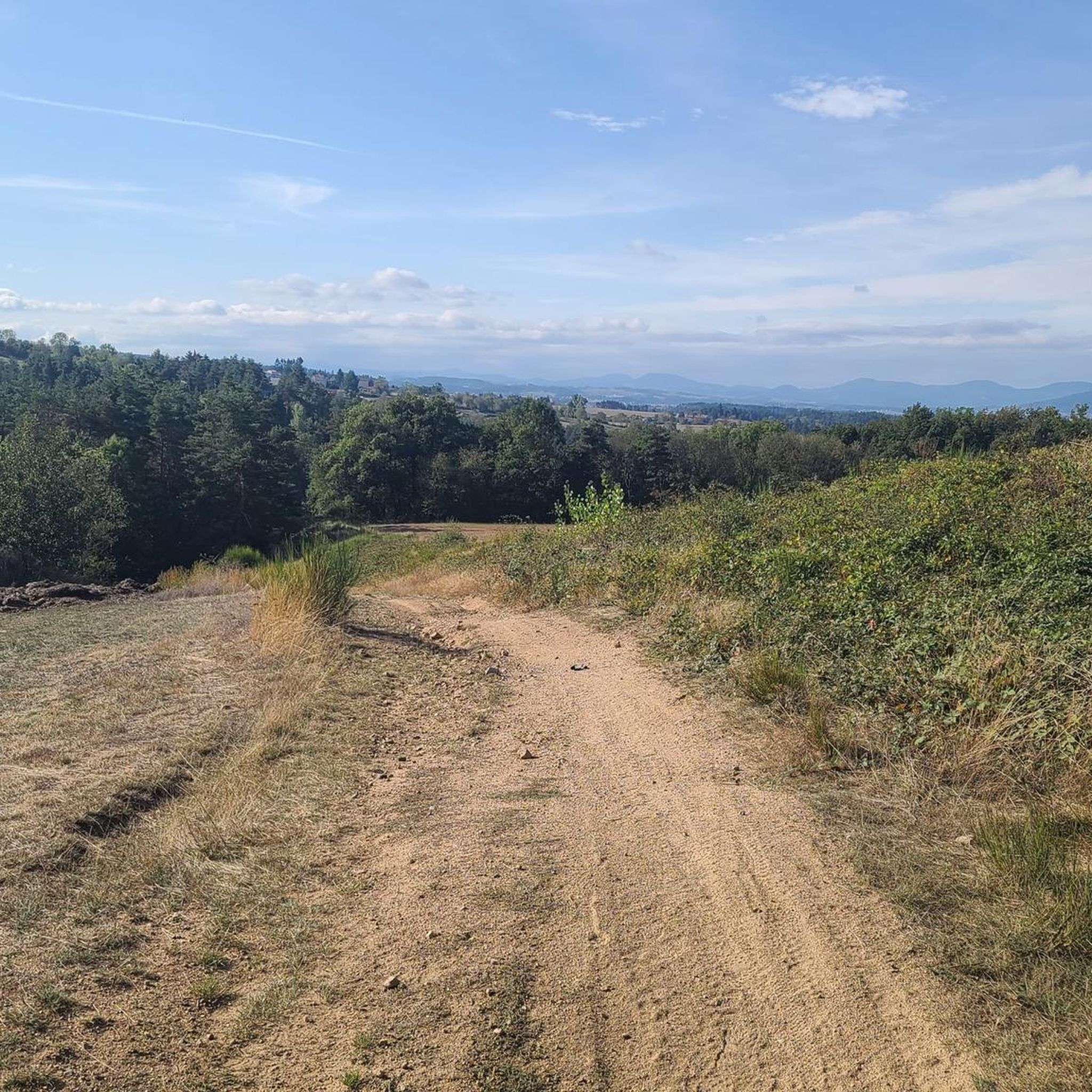
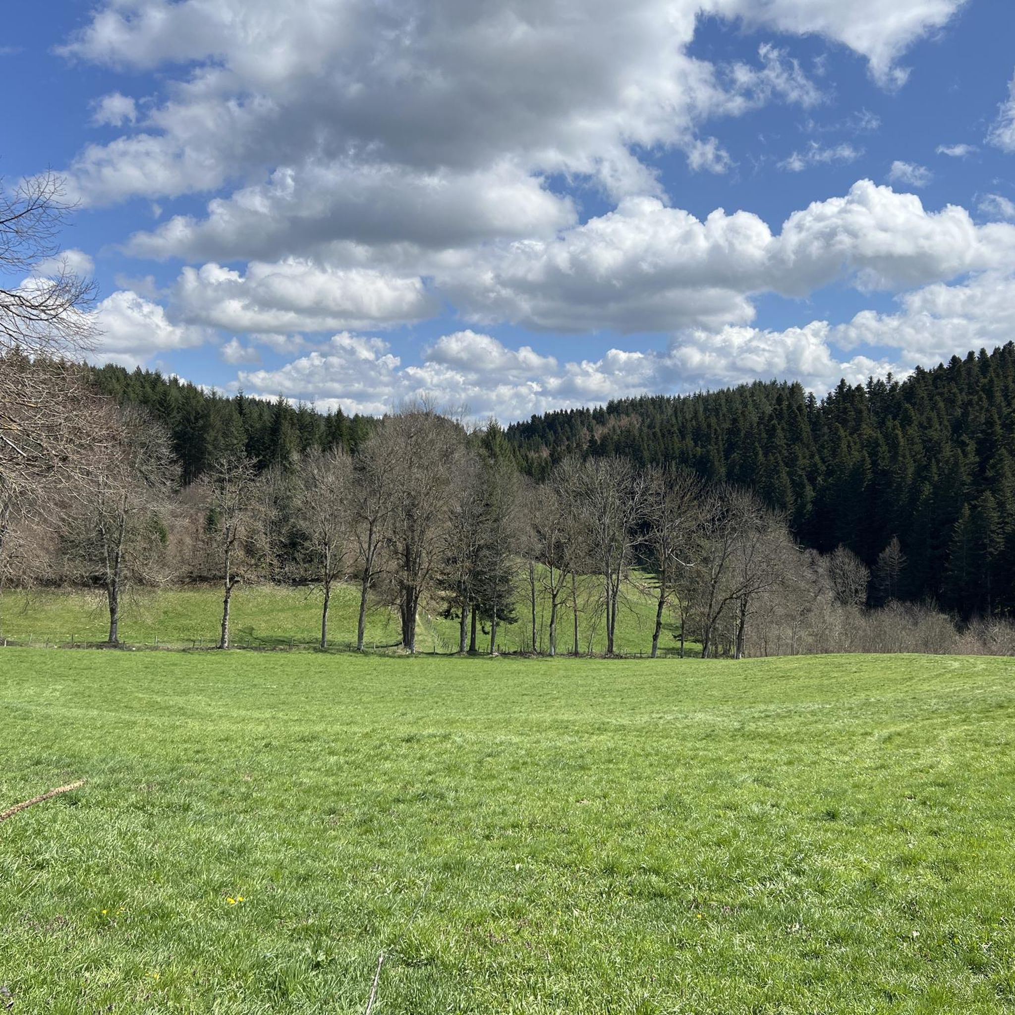
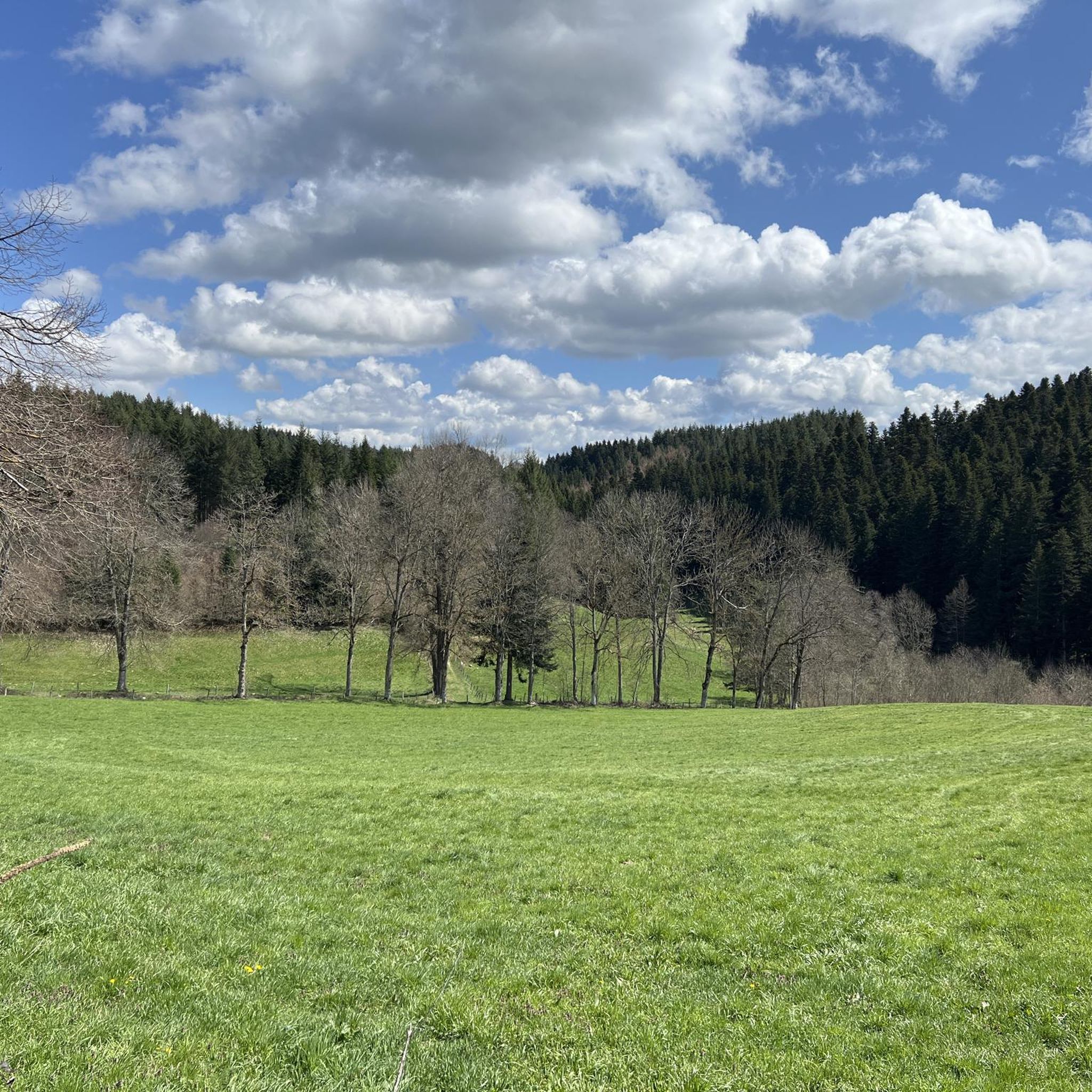
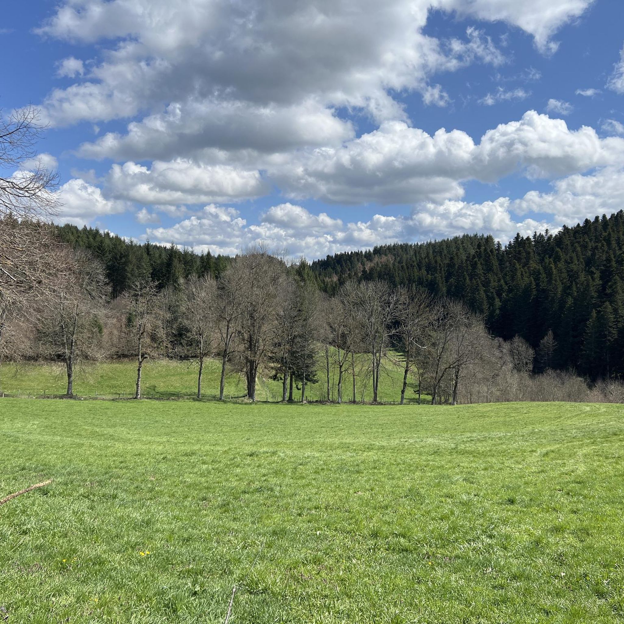

Tips from the Community

Lively place, lots of shops.
0
0

beautiful descent from St Didier, small bridge over the Semène with picnic area
0
0

The pretty medieval village of Saint-Didier-en-Velay has a beautiful market hall (or Grenette) dating from 1880, a 14th century fortified house and more generally beautiful stones which are worth a little detour.
0
0
Le Riotord is a town full of assets located in the far east of Haute-Loire. It is at the crossroads of many well-marked and maintained hiking trails such as the GR 7 and the path to Saint-Jacques-de-Compostelle but also cycling routes such as the Via Fluvia and the Grande Traversée à VTT de la Haute-Loire. The town has a beautiful 11th century church or a pond ideal for a little nap by the water.
0
0
This overflow of the Semène offers a charming place, ideal for a break by the water. The path borders the river and passes under an old house.
0
0
Place Jean Béal is located in the heart of the village of Saint-Bonnet-le-Froid. It overlooks the Saint-Bonnet church and is an ideal stop for a coffee or for lunch.
0
0

Between Loire and Haute Loire, at 1030 m, the Tracol resembles an Alpine pass with its terminal bends. to do on weekends to avoid overtaking by trucks
1
0

Impressive view of the Sarcenas Viaduct. It is possible to cross by bike via Via Fluvia.
0
0
Frequently Asked Questions
How many road cycling routes are available around Saint-Didier-En-Velay?
There are over 220 road cycling routes available around Saint-Didier-En-Velay, offering a wide range of options for different fitness levels and preferences.
What kind of terrain can I expect on road cycling routes in Saint-Didier-En-Velay?
The region offers varied terrain between the Monts du Velay and the initial reliefs of Pilat. You can expect a succession of forests, prairies, and hamlets, with mostly paved surfaces. The topography provides opportunities for both gentle pedals and more demanding climbs, with elevation gains ranging from a few hundred meters to over 1,500 feet.
Are there easy road cycling routes suitable for beginners in Saint-Didier-En-Velay?
Yes, Saint-Didier-En-Velay offers several easy road cycling routes. While the region is known for its rolling hills, there are 9 routes specifically categorized as easy, perfect for those new to road cycling or looking for a more relaxed ride.
Where can I find challenging road cycling routes with significant elevation gain?
For experienced cyclists seeking a challenge, there are 109 difficult routes available. One such route is the Loire Bridge – Hill climb alongside the Loire loop from Saint-Didier-en-Velay, which is 49.2 miles (79.2 km) long and features a significant elevation gain of 4,422 feet (1,348 m).
What natural features can I see along the road cycling routes?
Cyclists can enjoy diverse natural features, including the picturesque Semène river and its viaduct, and the serene Lac de Lavalette, situated at an altitude of 820 meters. The routes also pass through forests, prairies, and offer breathtaking panoramas of the Auvergne countryside, especially from the Monts du Velay and Pilat reliefs.
Are there any interesting landmarks or attractions to visit near the cycling routes?
Yes, the region boasts several points of interest. You might encounter the Aurec-sur-Loire Himalayan footbridge, the Crêt de Chaussître summit, or the Cotatay Dam. The charming village of Saint-Didier-en-Velay itself has a medieval center with a 12th-century Romanesque church.
What do other road cyclists say about the routes in Saint-Didier-En-Velay?
The road cycling routes in Saint-Didier-en-Velay are highly rated by the komoot community, with an average score of 4.3 stars from over 210 reviews. Cyclists often praise the varied terrain, the beautiful landscapes, and the well-maintained paths that cater to different ability levels.
Are there any circular road cycling routes in the area?
Many of the road cycling routes around Saint-Didier-en-Velay are designed as loops, allowing you to start and finish in the same location. An example of a moderate circular route is the Ricamarie view – D33 loop from Saint-Didier-en-Velay, which covers 34.7 miles (55.9 km).
What is a good route for a moderate road cycling experience?
For a moderate road cycling experience, consider the Jomare – The Pont de la Vache loop from Saint-Just-Malmont. This route is 29.4 miles (47.4 km) long with an elevation gain of 2,167 feet (661 m), typically taking about 2 hours 16 minutes to complete.
What is the best season for road biking in Saint-Didier-En-Velay?
The region's diverse landscapes, including the Semène river, suggest that spring, summer, and early autumn are ideal for road cycling. During summer, you might find opportunities to stop by the river. Always check local weather conditions before heading out.
Are there routes that offer panoramic views?
Yes, the region is known for its beautiful landscapes and offers superb panoramic views. A small tour of the village, such as the 'Tour de Saint-Didier-en-Velay par Montsubeyre,' provides excellent vistas of the village and its church from Pas du Mont, and many routes through the Monts du Velay offer expansive scenery.
What is the typical duration for road cycling routes in this area?
Route durations vary significantly based on distance and elevation. For example, a moderate route like the Jomare – The Pont de la Vache loop takes around 2 hours 16 minutes, while a difficult one like the Moulin de Bobigneux – Chaubouret Cross loop from Saint-Just-Malmont can take over 4 hours.
Most popular routes around Saint-Didier-En-Velay
Most popular attractions around Saint-Didier-En-Velay

Get inspired with the komoot mobile app


Explore more
Browse the best Road cycling routes in other regions.
