The best running trails around Ruynes-En-Margeride
4.0
(2)
520
runners
73
runs
Jogging around Ruynes-En-Margeride offers diverse landscapes within the mountainous Margeride region of the Massif Central. The area features extensive forests of pine and beech, often interspersed with granite rock formations. Runners can explore varied ecosystems including open meadows, tranquil peat bogs, and scenic rivers, providing a range of terrain from flat stretches to undulating forest paths. This region, recognized as a "Station Verte," emphasizes preserved natural beauty ideal for outdoor activities.
Best jogging routes around Ruynes-En-Margeride
- The most popular jogging…
Last updated: July 2, 2026
6
runners
6.38km
00:43
100m
100m
Moderate run. Good fitness required. Mostly paved surfaces. Suitable for all skill levels.
8
runners
13.1km
01:36
490m
490m
Hard run. Very good fitness required. Mostly paved surfaces. Suitable for all skill levels.

Sign up for free
6
runners
12.7km
01:35
480m
480m
Hard run. Very good fitness required. Mostly paved surfaces. Suitable for all skill levels.
6
runners
12.7km
01:28
210m
210m
Moderate run. Good fitness required. Mostly paved surfaces. Suitable for all skill levels.
6
runners
7.67km
00:49
90m
90m
Moderate run. Good fitness required. Mostly paved surfaces. Suitable for all skill levels.
Get access to more routes and recommendations from other explorers.
Sign up for free
Already have an account?
Our route recommendations are based on thousands of hikes, rides, and runs completed by other people on komoot.
Start today with a free account
Your next adventure awaits.
Login or Signup
Popular around Ruynes-En-Margeride

The Grande traversée du Massif Central by gravel bike
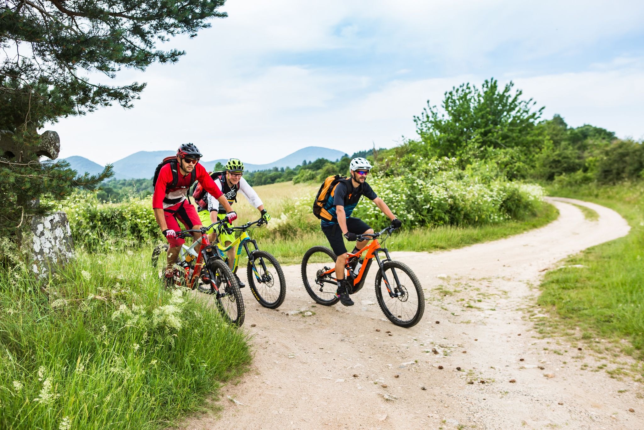
Conquering the trails – Auvergne by MTB
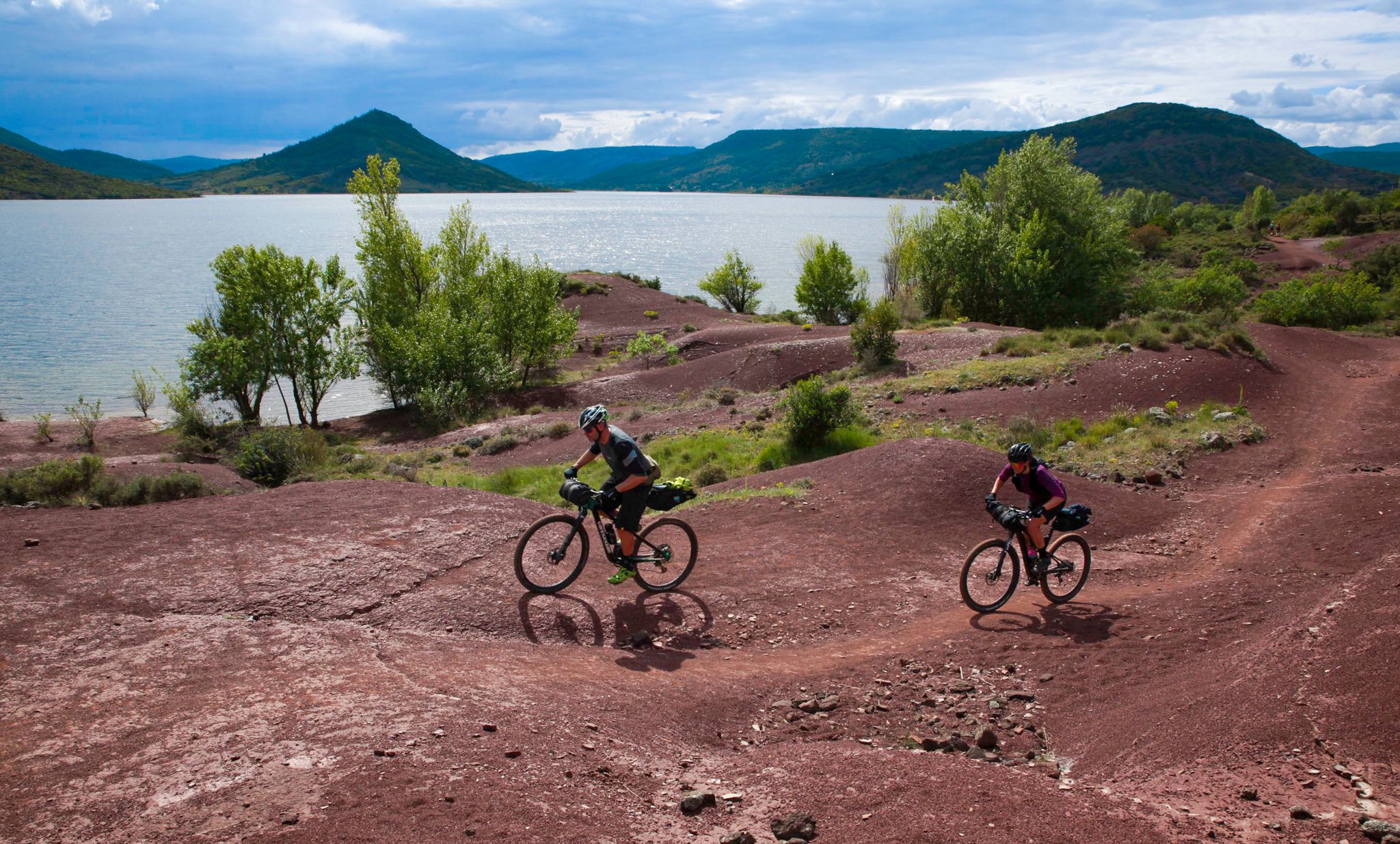
The Great Crossing of France's Massif Central by mountain bike
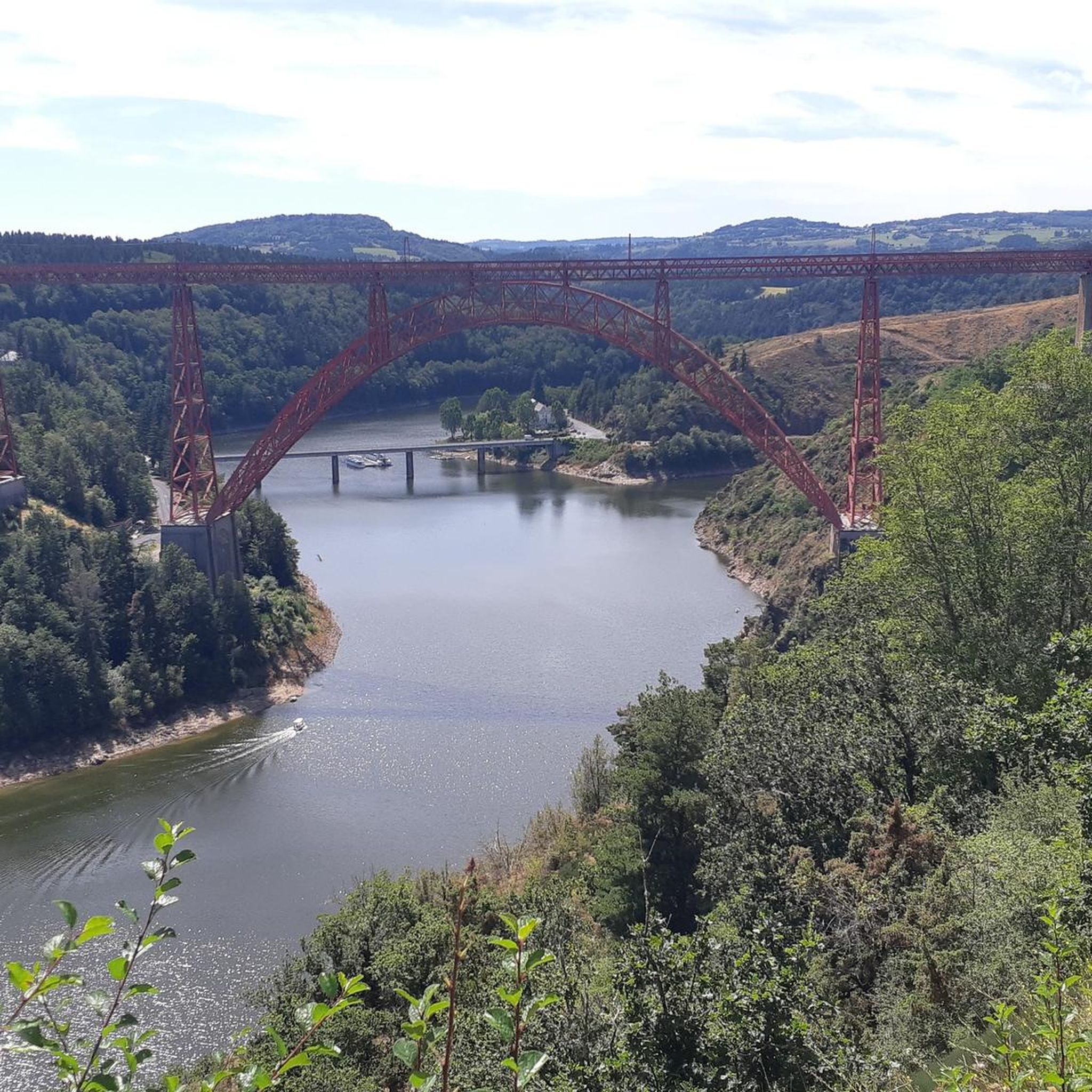
Road Cycling Routes around Ruynes-En-Margeride
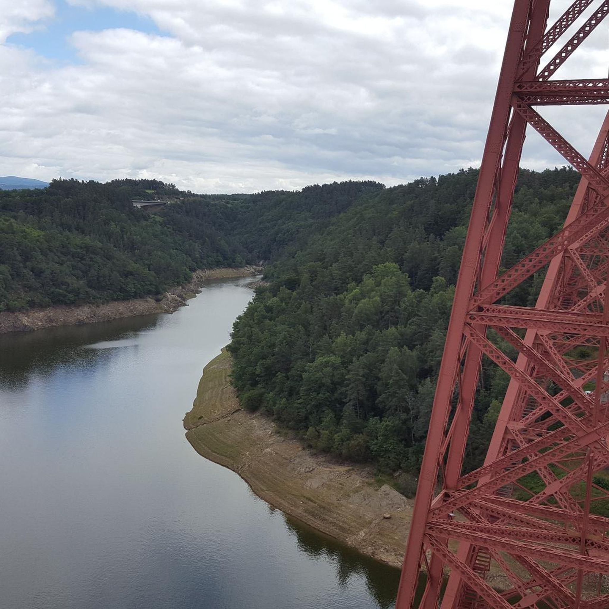
Cycling around Ruynes-En-Margeride
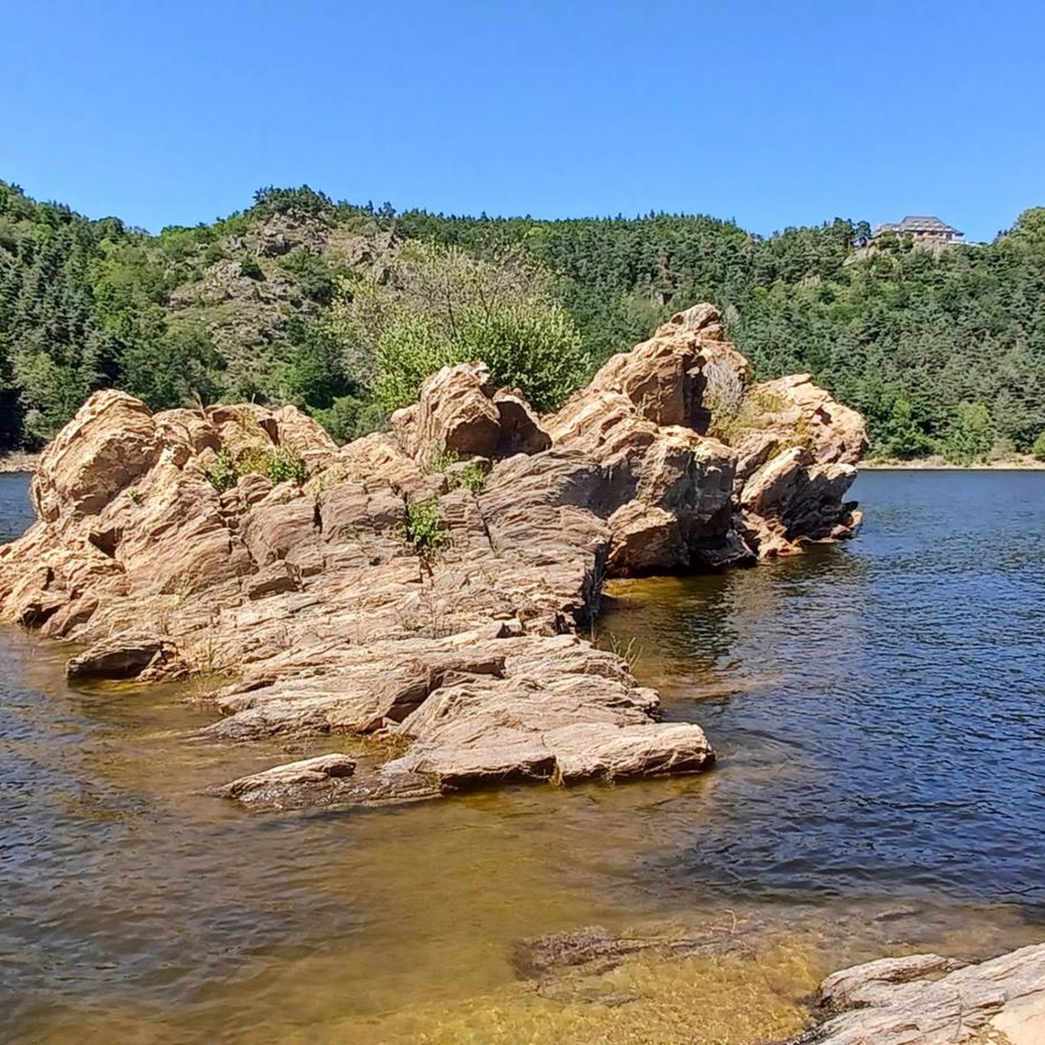
MTB Trails around Ruynes-En-Margeride
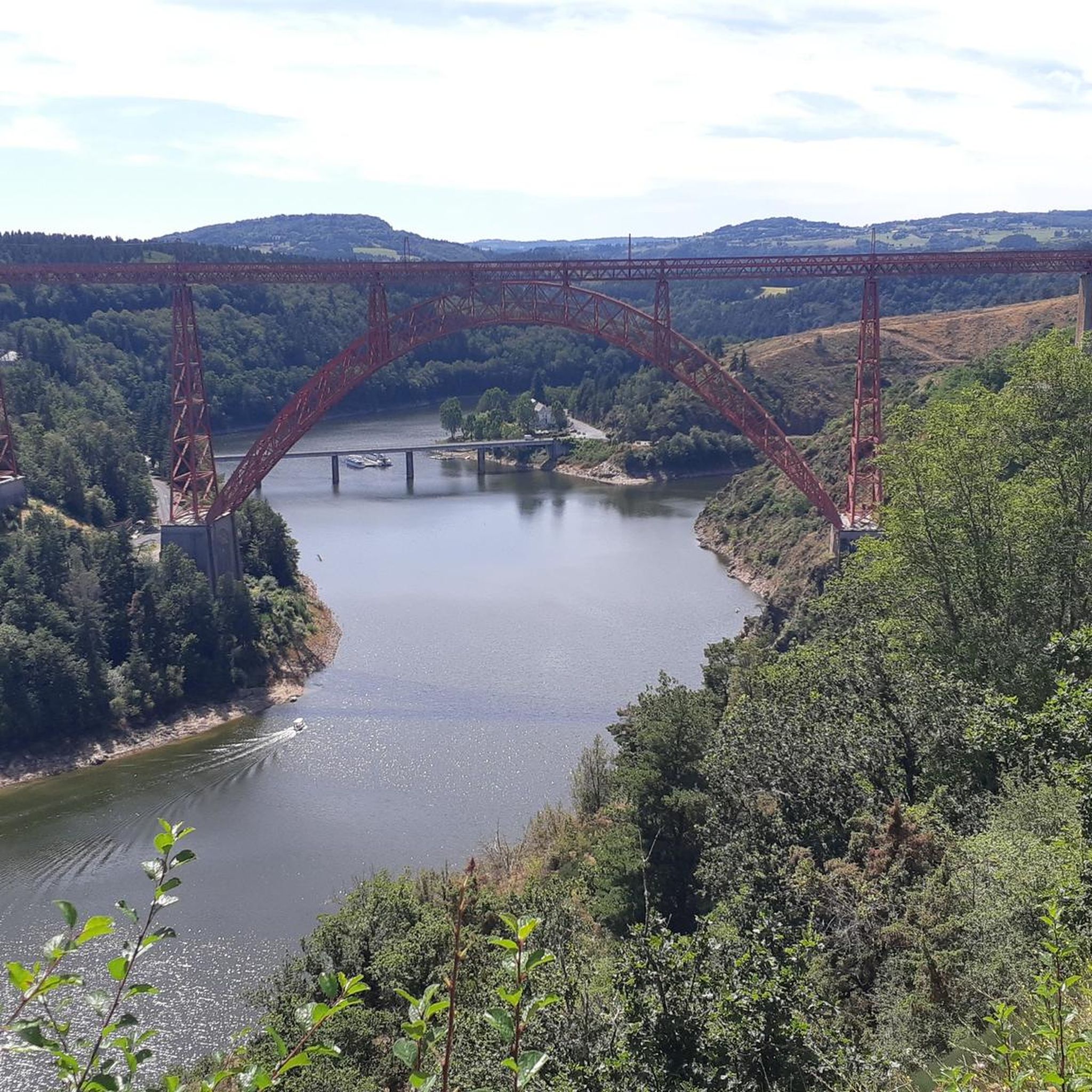
Hiking around Ruynes-En-Margeride

Gravel biking around Ruynes-En-Margeride
Other adventures around Ruynes-En-Margeride


Tips from the Community


Ruynes-en-Margeride is recognizable from afar thanks to its 12th century tower. The latter houses the Margeride eco-museum as well as the garden of Saint-Martin. The beautiful fountain located on Place Gambetta is also to be discovered.
1
0
Frequently Asked Questions
How many running routes are available in Ruynes-En-Margeride?
There are over 65 running routes around Ruynes-En-Margeride, offering a wide range of options for different fitness levels and preferences. These include easy, moderate, and difficult trails through varied landscapes.
What kind of terrain can I expect on the running trails in Ruynes-En-Margeride?
The running trails in Ruynes-En-Margeride are characterized by the mountainous Margeride region. You can expect extensive forests of pine and beech, often with interesting granite rock formations. The landscape also features open meadows, tranquil peat bogs, and scenic rivers, providing a mix of flat stretches and undulating forest paths. Some routes, like the Signal de Margeride loop, include significant elevation gain.
Are there easy running routes suitable for beginners?
Yes, Ruynes-En-Margeride offers several easy running routes perfect for beginners or those looking for a less strenuous jog. There are 5 easy routes available, providing gentle paths through the region's beautiful scenery.
Are there any circular running routes available?
Yes, many of the running routes in Ruynes-En-Margeride are circular, allowing you to start and finish at the same point. For example, the popular Ruynes-en-Margeride loop from Ruynes-en-Margeride and the Ruynes-en-Margeride loop from Le Pirou are both circular options.
Can I bring my dog on the running trails in Ruynes-En-Margeride?
While specific regulations can vary, the natural and extensive trail network in the Margeride region generally welcomes dogs, especially on hiking and running paths. It's always recommended to keep your dog on a leash, especially in areas with wildlife or near livestock, and to clean up after them.
What natural features or landmarks can I see while running?
The region is rich in natural beauty and historical sites. You might encounter granite rock formations, open meadows, and panoramic views, such as those from the nearby Summit of Mont Mouchet. The village itself features historical sites like its 12th-century tower and the Saint-Martin garden, which can be incorporated into your runs.
What do other runners enjoy most about jogging in Ruynes-En-Margeride?
The running routes in Ruynes-En-Margeride are highly rated by the komoot community, with an average score of 4.0 stars. Runners often praise the diverse landscapes, from shaded forest trails to open meadows, and the authentic, wild nature of the Margeride region. The variety of terrain and the opportunity for challenging runs are also frequently highlighted.
Where can I park for the running trails in Ruynes-En-Margeride?
Many running routes around Ruynes-En-Margeride, especially those starting from the village or nearby hamlets like Le Pirou, typically have accessible parking options. It's advisable to check the specific route details on komoot for designated parking areas near the trailhead.
What is the best time of year for running in Ruynes-En-Margeride?
The spring and autumn months generally offer the most pleasant conditions for running in Ruynes-En-Margeride, with milder temperatures and beautiful seasonal foliage. Summer can also be enjoyable, especially on shaded forest trails, but be prepared for warmer weather. Winter running is possible, but some higher elevation trails might be affected by snow or ice.
Are there options for more challenging trail running?
Absolutely. The mountainous terrain of the Margeride region provides excellent opportunities for challenging trail running. Routes like the Signal de Margeride loop from Ruynes-en-Margeride are classified as difficult, featuring significant elevation gain and varied surfaces, perfect for experienced trail runners.
How long do the running routes typically take to complete?
The duration of running routes in Ruynes-En-Margeride varies significantly depending on the distance and difficulty. Shorter, moderate loops like the Ruynes-en-Margeride loop from Ruynes-en-Margeride (4.1 miles) can take around 45 minutes, while longer, more challenging routes such as the Signal de Margeride loop (8.2 miles) might take over 1 hour 30 minutes.
Are there any historical sites or cultural points of interest along the routes?
Yes, the region blends wild landscapes with local heritage. You can explore the village of Ruynes-en-Margeride itself, which features a 12th-century tower housing the Écomusée de Margeride and the Saint-Martin garden. Some routes may pass by or offer views of other historical elements, adding a cultural dimension to your run.
Most popular routes around Ruynes-En-Margeride
Most popular attractions around Ruynes-En-Margeride

Get inspired with the komoot mobile app


Explore more
Browse the best Running Trails & Routes in other regions.
