The best running trails around Gelterfingen
4.4
(269)
8,206
runners
358
runs
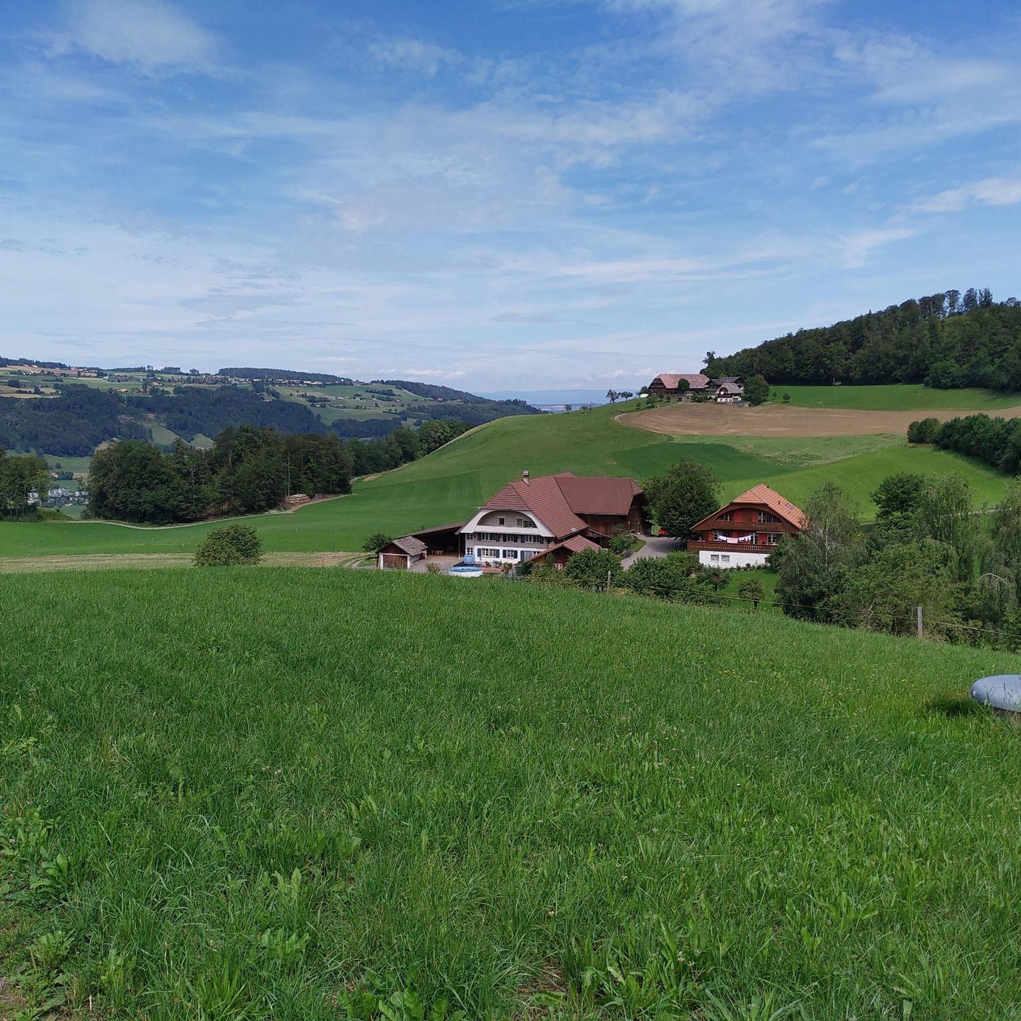
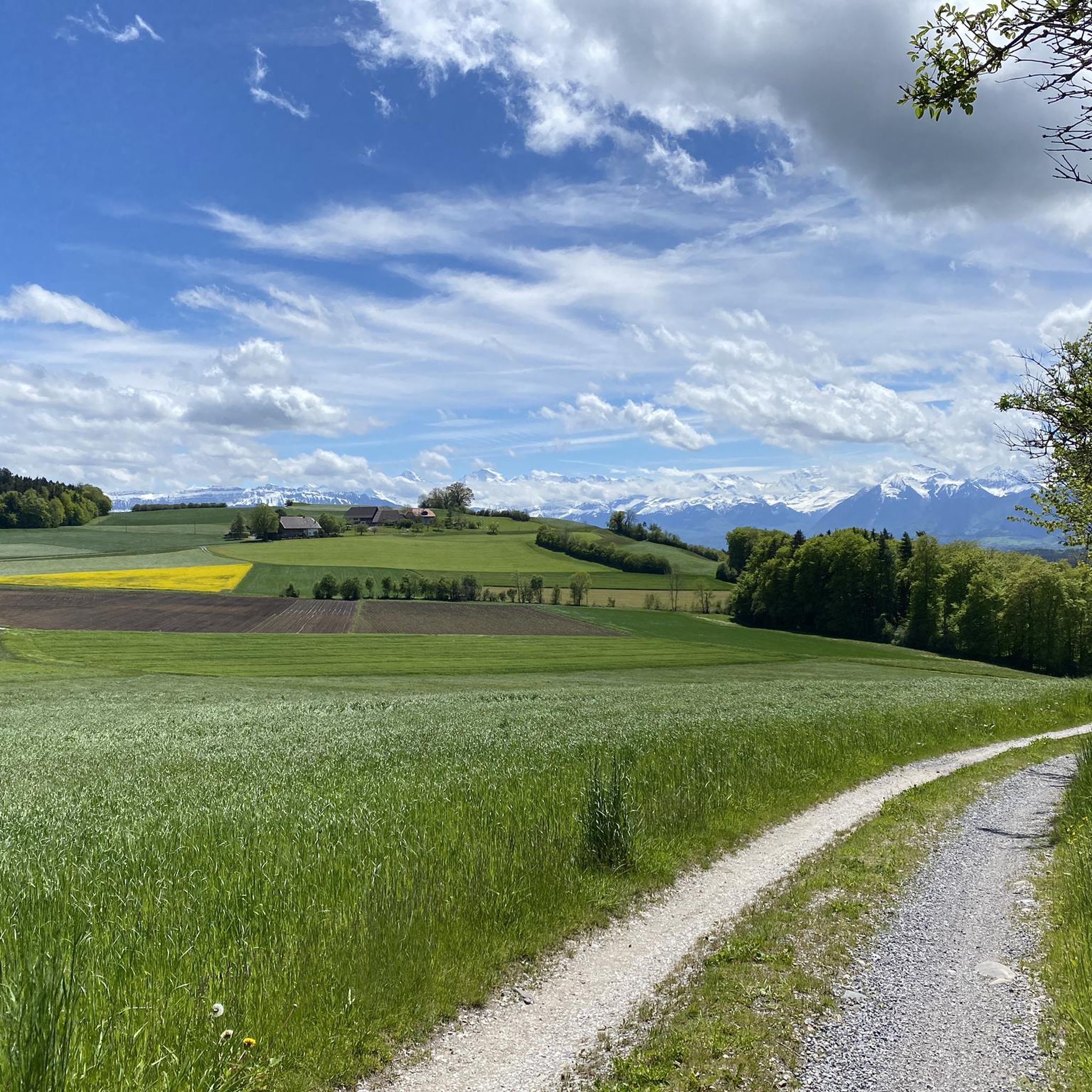
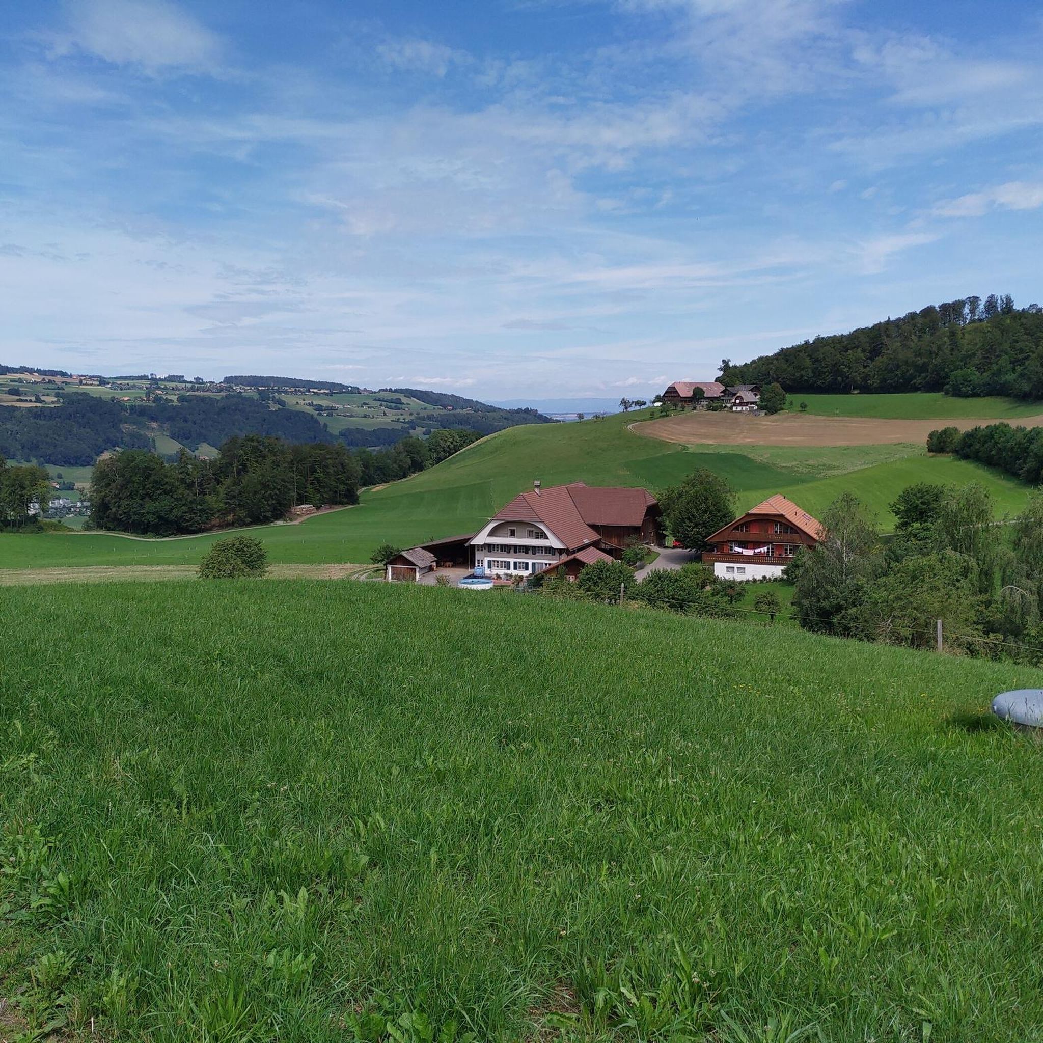
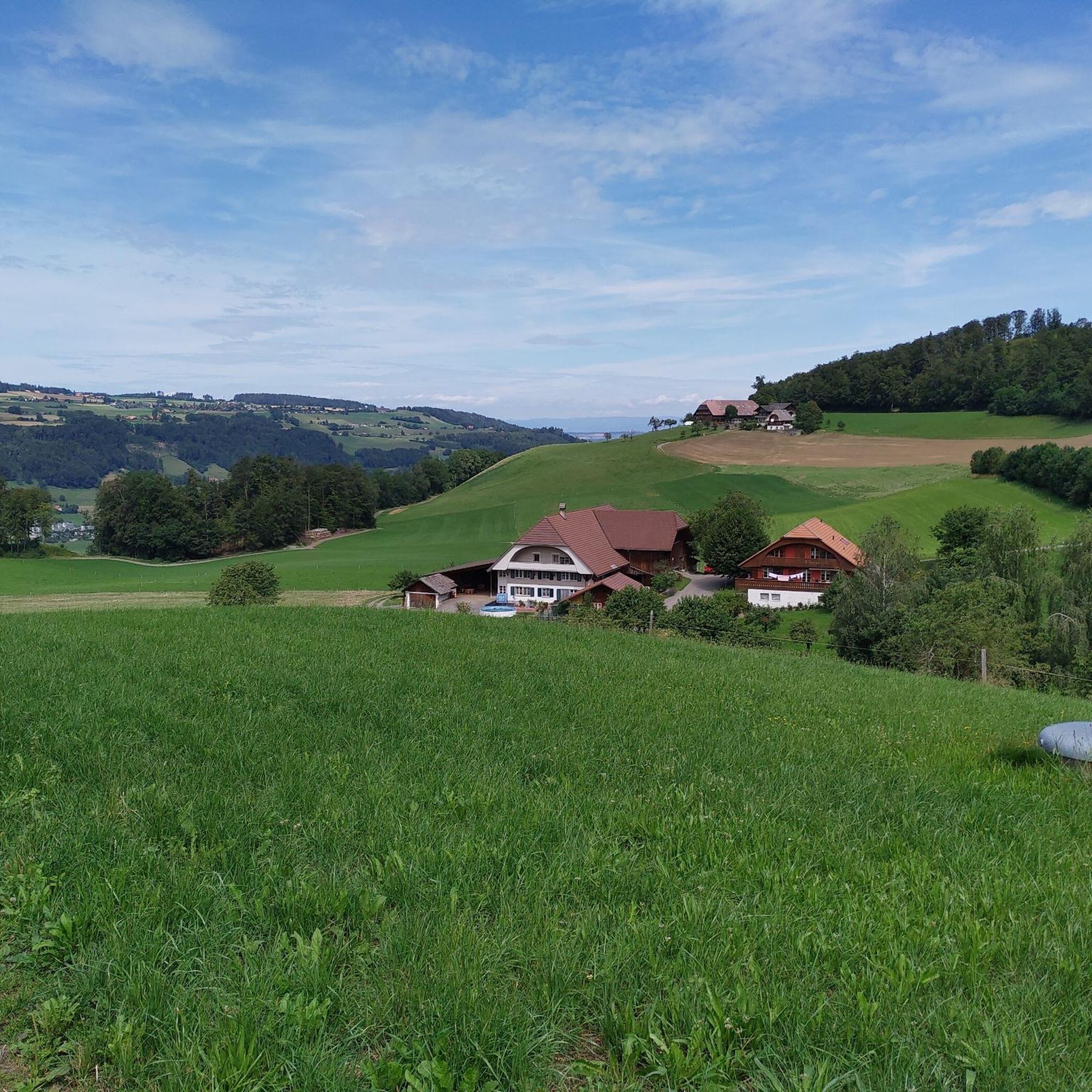
Jogging around Gelterfingen offers diverse terrain, from the flat expanses of the Gürbetal to the elevated slopes of Belpberg Mountain. The region, part of the municipality of Kirchdorf, features a mix of extensive forested areas and scenic agricultural landscapes, providing varied running experiences. These natural features create a network of trails suitable for different levels, from gentle valley runs to more challenging hill climbs.
Best jogging routes around Gelterfingen
- The most popular jogging route is Gerzensee – Chutzen Summit, Belpberg…
Last updated: July 1, 2026
5.0
(1)
65
runners
6.11km
00:38
50m
50m
Moderate run. Good fitness required. Mostly paved surfaces. Suitable for all skill levels.
5.0
(1)
24
runners
Moderate run. Good fitness required. Mostly paved surfaces. Suitable for all skill levels.

Sign up for free
5.0
(1)
22
runners
5.06km
00:33
50m
50m
Moderate run. Good fitness required. Mostly paved surfaces. Suitable for all skill levels.
4.4
(40)
12
runners
5.63km
00:35
50m
50m
Moderate run. Good fitness required. Mostly paved surfaces. Suitable for all skill levels.
8
runners
12.7km
01:20
20m
20m
Moderate run. Good fitness required. Mostly paved surfaces. Suitable for all skill levels.
Get access to more routes and recommendations from other explorers.
Sign up for free
Already have an account?
Our route recommendations are based on thousands of hikes, rides, and runs completed by other people on komoot.
Start today with a free account
Your next adventure awaits.
Login or Signup

Tips from the Community

Lake Gerzensee is privately owned. It's not possible to walk around it. From Kirchdorf, there's a dirt road that leads to a wonderful seating area.
0
0

Lake Gerzen is a lake located between the villages of Gerzensee, Mühledorf, and Kirchdorf in the canton of Bern, Switzerland. Its water level is at an average elevation of 603 meters above sea level. At normal water levels, the lake is approximately 8.5 meters deep on average and reaches a maximum of 11 meters deep, and has a surface area of 0.25 km², making it one of the medium-sized pre-Alpine lakes in Switzerland.
1
0

Beautiful view of Lake Gerzensee.
0
0

Beautiful turquoise water of the fast-flowing river Aare. A great landscape picture opens up here.
1
0

Discover the Aare between Thun and Bern by bike 😎
0
0

Visit the vintage car gallery in Toffen (very interesting)
1
0

The Aare is a dreamy river. Crystal blue water and pleasantly cool temperatures. It is hardly surprising that swimming in the Aare is a popular sport among the people of Bern.
0
2
An alternative to the marked cycle tour is the first path to the left on the ascent past the Cholhütte and Neumatt
0
0
Frequently Asked Questions
How many running routes are available in Gelterfingen?
Gelterfingen offers a wide variety of running experiences, with nearly 400 routes available. These range from easy, flat paths to more challenging, elevated trails, catering to all fitness levels.
What kind of terrain can I expect on running trails around Gelterfingen?
You'll find diverse terrain for running in Gelterfingen. The
Gürbetal valley provides flatter routes, often winding through rich agricultural fields. For those seeking more challenge, the slopes of
Belpberg Mountain offer significant inclines and panoramic views. The region also features extensive forested areas and open farmlands, providing a mix of shaded trails and open-air paths.
Are there routes suitable for beginners or those looking for an easy run?
Yes, Gelterfingen has options for all levels. There are 17 easy running routes, many of which are found in the flatter expanses of the Gürbetal. For example, the Running loop from Kaufdorf is a moderate 3.2-mile trail that leads through open agricultural land with minimal elevation gain, perfect for a casual run.
What about more challenging running trails in the area?
For runners seeking a challenge, Gelterfingen offers 48 difficult routes, often involving significant elevation gain on the slopes of Belpberg Mountain. A prime example is the Gerzensee – Chutzen Summit, Belpberg loop from Gerzensee, a 6.0-mile trail with substantial climbing towards the Chutzen Summit.
Are there any scenic viewpoints or attractions along the running routes?
Absolutely! Many routes offer scenic rewards. The Gerzensee – View of the Stockhorn Range loop from Kaufdorf provides stunning vistas of the Stockhorn Range. Additionally, the
Ulmizberg Observation Tower is a notable viewpoint in the region, accessible via trails that could be incorporated into a rewarding run. You can also find beautiful lakes like Gerzensee and Dittligsee nearby, offering picturesque spots to enjoy during your run.
What do other runners say about the trails in Gelterfingen?
The running trails in Gelterfingen are highly regarded by the komoot community, boasting an average rating of 4.4 out of 5 stars from over 220 reviews. Runners frequently praise the diverse landscapes, from the quiet forests to the open agricultural fields, and the variety of routes suitable for different fitness levels.
Are there any circular running routes in Gelterfingen?
Yes, many of the running routes around Gelterfingen are designed as loops, allowing you to start and finish in the same location. Examples include the challenging Gerzensee – Chutzen Summit, Belpberg loop from Gerzensee and the more moderate Altes Schloss Gerzensee loop from Gerzensee.
Can I find running routes that are suitable for families?
While specific 'family-friendly' designations aren't always explicit, the easier and flatter routes in the Gürbetal valley are generally well-suited for families. These paths often traverse agricultural land and offer a gentler experience. Look for routes with minimal elevation gain and shorter distances for a comfortable family outing.
Are the running trails in Gelterfingen dog-friendly?
Many natural trails in Switzerland, including those around Gelterfingen, are generally dog-friendly, provided dogs are kept on a leash, especially in agricultural areas or near livestock. It's always recommended to respect local signage and ensure your dog is well-behaved around other trail users and wildlife.
Are there running routes that pass by water features?
Yes, the region features several lakes that can be incorporated into your runs. For instance, the Gerzensee is a prominent lake in the area, and routes like the Altes Schloss Gerzensee loop from Gerzensee offer views of it. You might also encounter smaller streams or ponds, particularly in the Gürbetal valley.
What is the best time of year for running in Gelterfingen?
Gelterfingen offers enjoyable running conditions throughout much of the year. Spring and autumn provide pleasant temperatures and beautiful scenery with changing foliage. Summer is also great, especially on shaded forest trails. Winter running is possible, but some higher or less maintained paths might be icy or snowy, so check local conditions.
Are there any running routes that offer views of the Alps?
Yes, the region's topography allows for stunning distant views. The Gerzensee – View of the Stockhorn Range loop from Kaufdorf is specifically highlighted for its scenic views of the Stockhorn Range, which is part of the Bernese Alps, providing a magnificent backdrop to your run.
Most popular routes around Gelterfingen
Most popular attractions around Gelterfingen

Get inspired with the komoot mobile app


Explore more
Browse the best Running Trails & Routes in other regions.
