The best running trails around Roquefère
4.5
(42)
2,437
runners
87
runs
Jogging routes around Roquefère are situated within the diverse natural landscapes of the Aude department in France's Occitanie region. The area features varied terrain, ranging from 299 to 983 meters in altitude, offering options for different levels of physical activity. The region is characterized by the forested slopes and elevated paths of the Montagne Noire, as well as the gentler paths along the Rieutort Valley. This topography provides both challenging ascents and descents through wooded areas and open ridges, alongside…
Last updated: October 15, 2026
2
runners
21.5km
02:46
690m
690m
Hard run. Very good fitness required. Mostly accessible paths. Some sure footedness required.
6
runners
6.37km
00:57
330m
330m
Hard run. Very good fitness required. Mostly accessible paths. Some sure footedness required.

5.0
(1)
40
runners
14.8km
02:03
630m
630m
Hard run. Very good fitness required. Sure-footedness, sturdy shoes and alpine experience required.
43
runners
22.6km
03:14
1,020m
1,020m
Hard run. Very good fitness required. Mostly paved surfaces. Suitable for all skill levels.
25
runners
17.0km
02:17
650m
650m
Hard run. Very good fitness required. Mostly paved surfaces. Suitable for all skill levels.
Get access to more routes and recommendations from other explorers.
Already have an account?
Our route recommendations are based on thousands of hikes, rides, and runs completed by other people on komoot.
Start today with a free account
Your next adventure awaits.

Tips from the Community

Narrow passage with worn ruts from cart wheels... (Roman?)
0
0

Very nice and there were waffles and ice cream
0
0

Save your energy for the last 5km, be careful when it's windy.
0
0

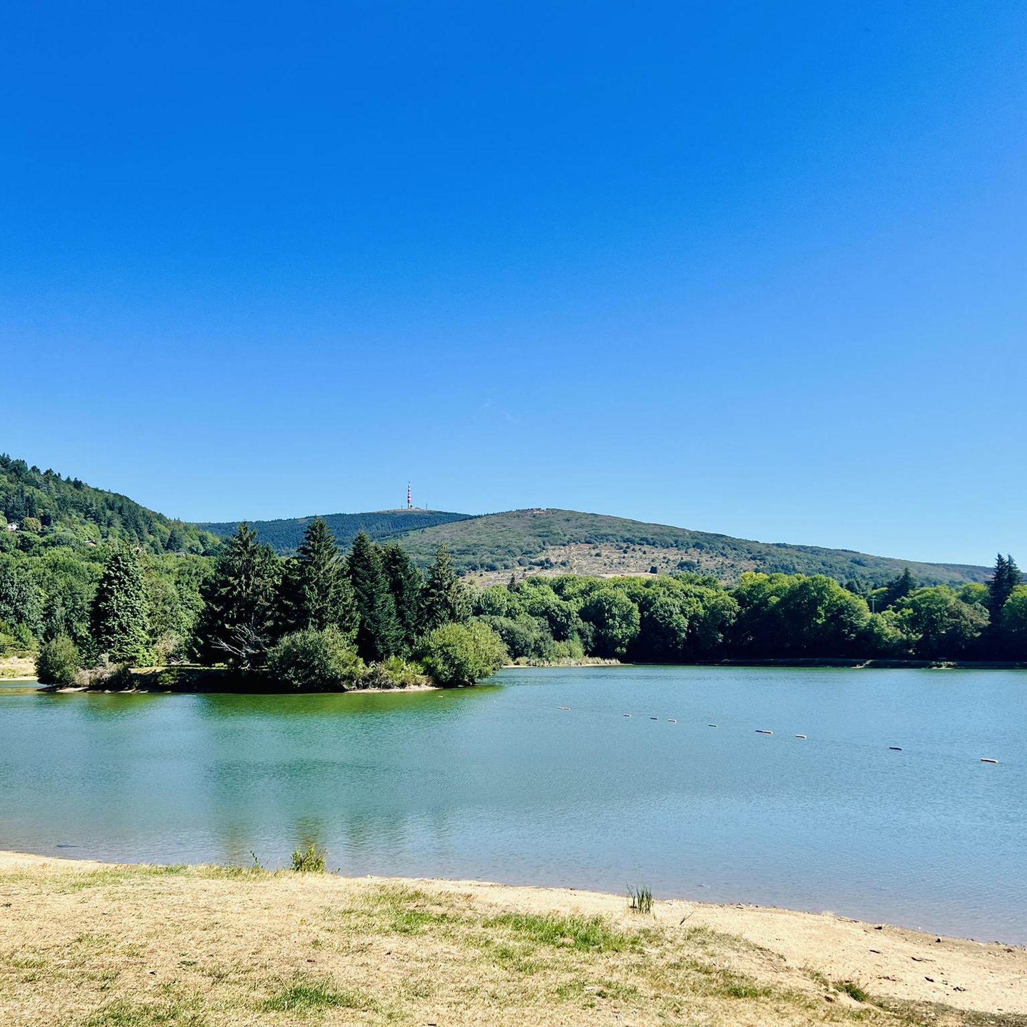
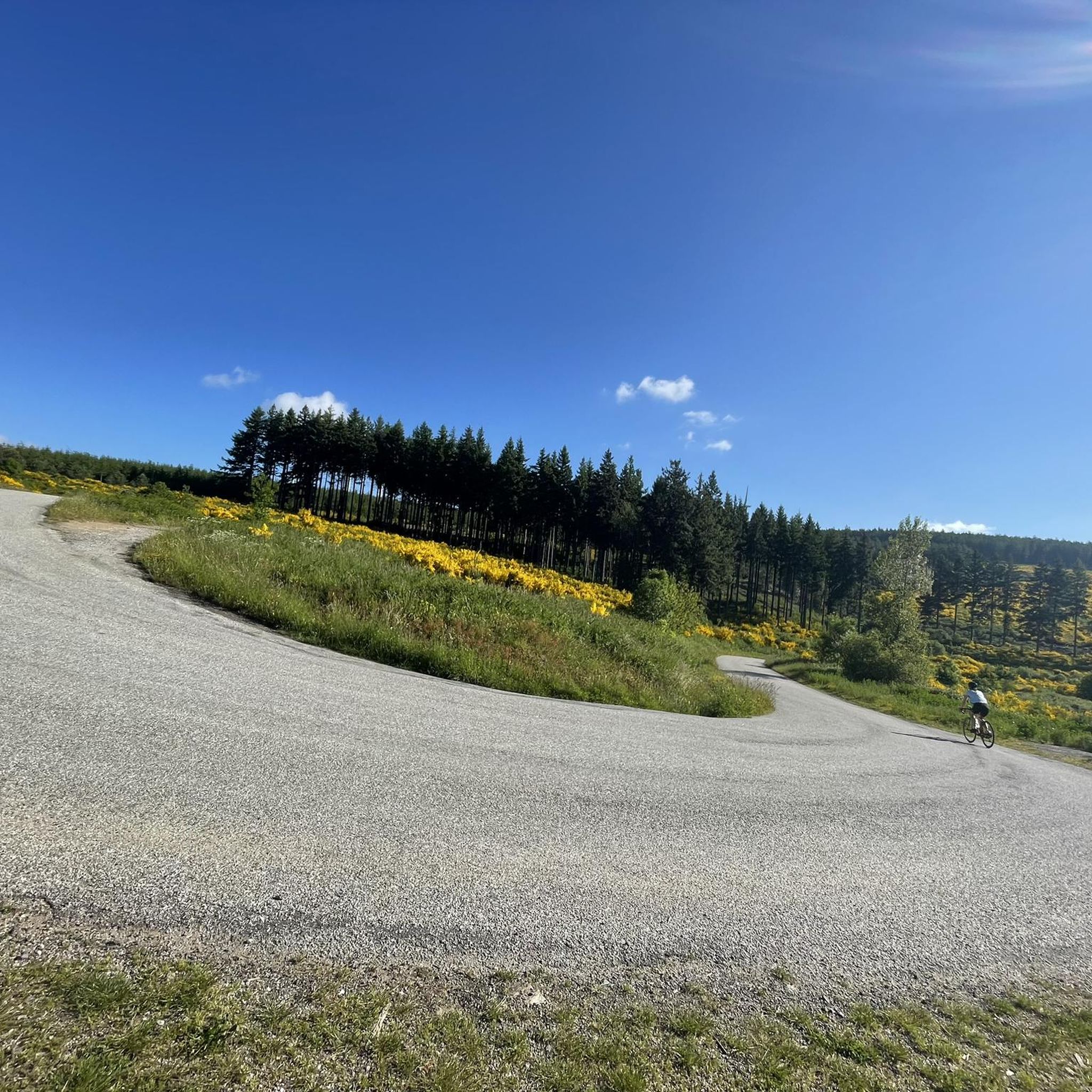
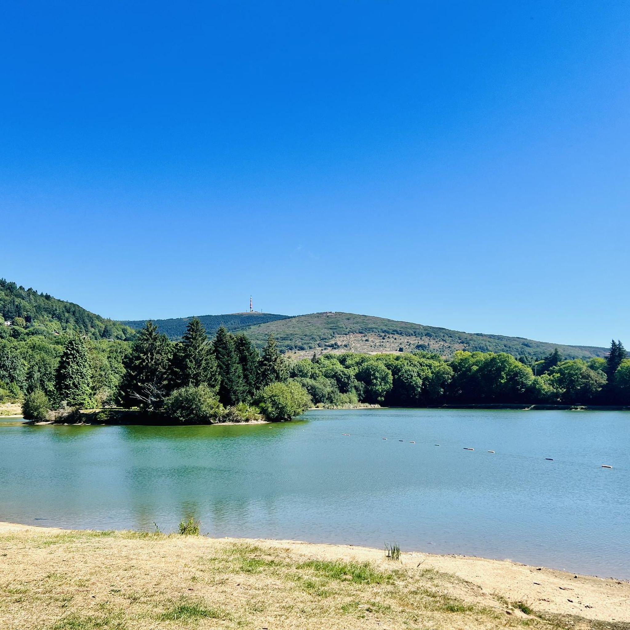
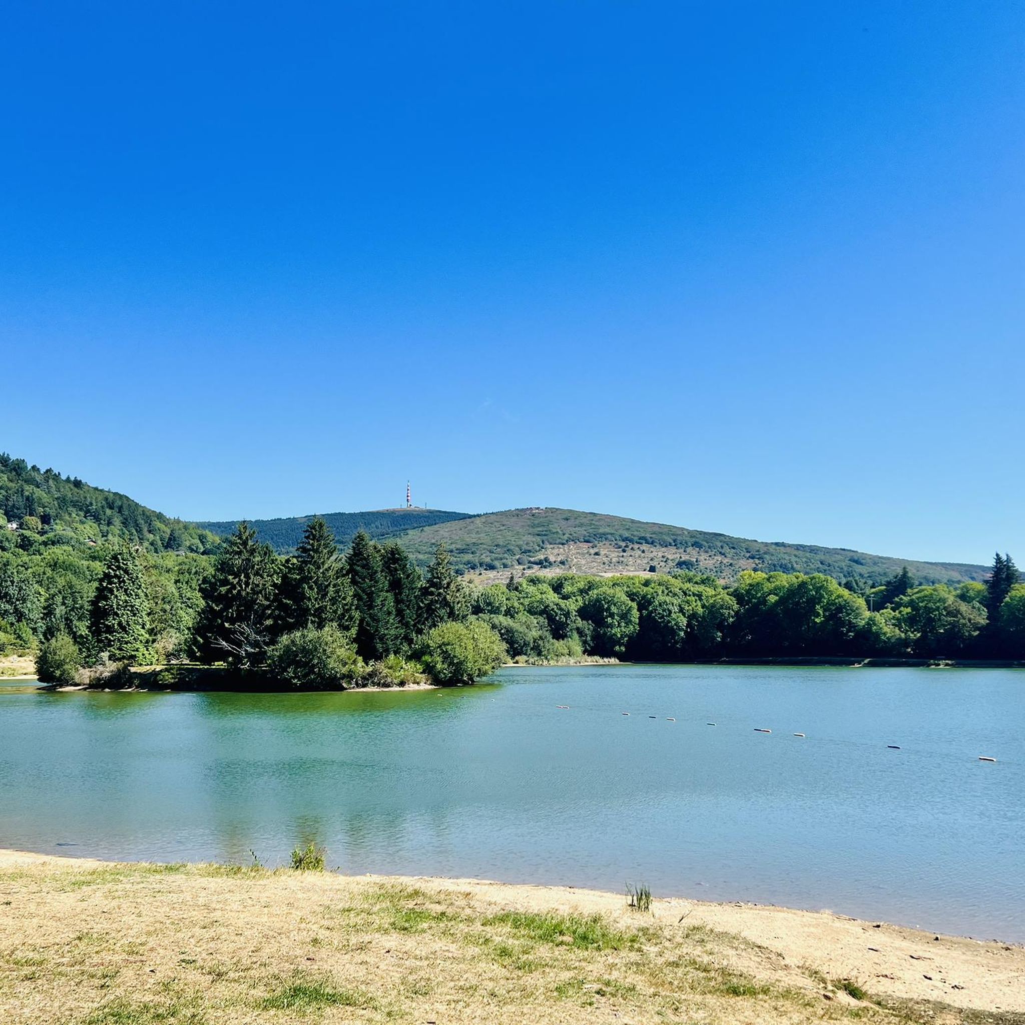
We like to compare, the Pic de Nore is a small Ventoux, its climbs from Mazamet or Villeneuve-Minervois are not as steep as that of the Ventoux from Bédoin but they still have to be earned. They are 17 and 22 km respectively, have an average gradient of 5.5% and 4.56%, with a maximum gradient of 11.8% and 10%. For my part, I chose to join Pradelles-Cabardès via the forests from Limousis, passing in particular the Soulanes de Nore, I was treated to some good slopes with a double-digit percentage ... Two legends would explain its name: in the first it is the fairy Nore who, annoyed by the damage caused to the crops by the Cers wind, would have planted her pike in the ground there, and as if by magic the rocks would have accumulated around to form the Pique de Nore. In the second, the wind of Cers is still blamed for its damage to human crops, not only there, and it is Nore, Bug and Arach who went to complain to Jupiter. Jupiter does not like to be disturbed, he transformed Nore into a mountain and Bug and Arach into the summit of Bugarach ...
3
0


Very nice walk, varied nature, beautiful view, very pretty heather ☺️ Partially shaded.
1
1

Technical MTB route. Only take the route on the descent!
0
0

Mountain bike loop from Conques/Orbiel to Pas de Montserrat - old Roman road - on the GR 36 Audois and the legendary Déval'Nore.
1
2
Frequently Asked Questions
How many running routes are available in Roquefère?
There are over 80 running routes around Roquefère, offering a wide variety of options for different fitness levels and preferences. The komoot community has explored these trails over 2,400 times.
What kind of terrain can I expect on jogging routes around Roquefère?
Jogging routes in Roquefère offer diverse terrain, from the forested slopes and elevated paths of the Montagne Noire to gentler paths along the Rieutort Valley. You'll find options ranging from challenging ascents and descents through wooded areas and open ridges to more accessible valley routes, with altitudes varying from 299 to 983 meters.
Are there running routes suitable for beginners or those looking for an easy jog?
Yes, Roquefère offers routes for all abilities. While many trails are more challenging, there are 3 easy routes and 26 moderate routes available. For a more accessible experience, consider routes like the Lake Laprade – Laprade Lake Boardwalk loop from Les Martys, which is a moderate 10 km path around the lake.
Are there any jogging routes that feature waterfalls or other natural landmarks?
Absolutely! The region is home to the impressive Cubserviès Waterfall, the highest in the Aude department. You can experience this natural wonder on routes such as the Cubserviès Cascade loop from Mas-Cabardès, a 14.6 km trail leading through scenic landscapes to the waterfall. The Cubserviès Waterfall itself is a major attraction.
What do other runners say about the trails in Roquefère?
The running routes in Roquefère are highly rated by the komoot community, with an average score of 4.6 stars from over 27 reviews. Runners often praise the varied landscapes, the challenging yet rewarding ascents, and the beautiful natural scenery, especially around the Montagne Noire and the Rieutort Valley.
Can I find circular jogging routes in the area?
Yes, many of the jogging routes around Roquefère are circular, allowing you to start and end at the same point. An example is the Gouffre de Cabrespine Loop Trail, a 6.4 km difficult route with significant elevation changes.
Are there any long-distance or advanced running trails near Roquefère?
For experienced runners seeking a challenge, Roquefère offers several long-distance and difficult trails. The Pic de Nore loop from Pradelles-Cabardès is a demanding 23.7 km route with over 1200 meters of elevation gain. Another challenging option is the Labastide-Esparbaïrenque – loop trail from Pradelles-Cabardès, spanning 21.5 km.
What are some interesting places to see or landmarks along the running routes?
Beyond the natural beauty, you can discover several landmarks. The Pic de Nore offers panoramic views, and the historic Roquefère Castle is a notable sight. You might also encounter the Roman road or the Roc de l'Aigle viewpoint on various trails.
Is the Cubserviès Waterfall trail suitable for jogging, and is it shaded?
Yes, the 8-mile (12.9 km) loop trail to the Cubserviès Waterfall, starting from Roquefère, is considered suitable for jogging. It offers varied landscapes and is described as being shaded for a good portion, which can be particularly pleasant during warmer weather.
Are there any specific viewpoints to look out for on the running trails?
Many trails offer stunning views, especially those in the Montagne Noire. The Pic de Nore is a prominent summit known for its panoramic vistas. Additionally, the Roc de l'Aigle provides another excellent viewpoint to appreciate the region's diverse topography, including glimpses of the Pyrenees.
What is the best season for jogging in Roquefère?
The varied terrain around Roquefère makes it suitable for jogging across multiple seasons. The shaded paths, particularly along the Rieutort Valley and towards the Cubserviès Waterfall, are ideal during warmer months. The 'low mountains' offer pleasant conditions for running in spring and autumn, with vibrant foliage and comfortable temperatures. Winter jogging is also possible, though some higher elevation trails might require more preparation.
Most popular attractions around Roquefère

Get inspired with the komoot mobile app


Explore more
Browse the best Running Trails & Routes in other regions.
