The best running trails around Labastide-Esparbairenque
4.3
(24)
1,943
runners
96
runs
Jogging routes around Labastide-Esparbairenque traverse the diverse landscapes of the Montagne Noire in Occitanie, France. The region is characterized by varied terrain, including hills and extensive chestnut woodlands, which provide shaded routes. Joggers can find paths winding through the Orbiel valley and challenging ascents towards higher points. This area offers a range of running experiences from moderate trails to more demanding mountain routes.
Best jogging routes around Labastide-Esparbairenque
- The most popular jogging route is Gouffre de Cabrespine Loop Trail,…
Last updated: June 28, 2026
6
runners
6.37km
00:57
330m
330m
Jog the difficult 4.0 miles (6.4 km) Gouffre de Cabrespine Loop Trail, gaining 1091 feet (333 metres) with panoramic mountain views.
42
runners
22.7km
03:15
1,020m
1,020m
Hard run. Very good fitness required. Mostly paved surfaces. Suitable for all skill levels.

Sign up for free
27
runners
16.8km
02:14
650m
650m
Hard run. Very good fitness required. Mostly paved surfaces. Suitable for all skill levels.
13
runners
8.83km
01:17
430m
430m
Hard run. Very good fitness required. Mostly paved surfaces. Suitable for all skill levels.
12
runners
18.5km
02:36
790m
790m
Hard run. Very good fitness required. Mostly accessible paths. Some sure footedness required.
Get access to more routes and recommendations from other explorers.
Sign up for free
Already have an account?
Our route recommendations are based on thousands of hikes, rides, and runs completed by other people on komoot.
Start today with a free account
Your next adventure awaits.
Login or Signup
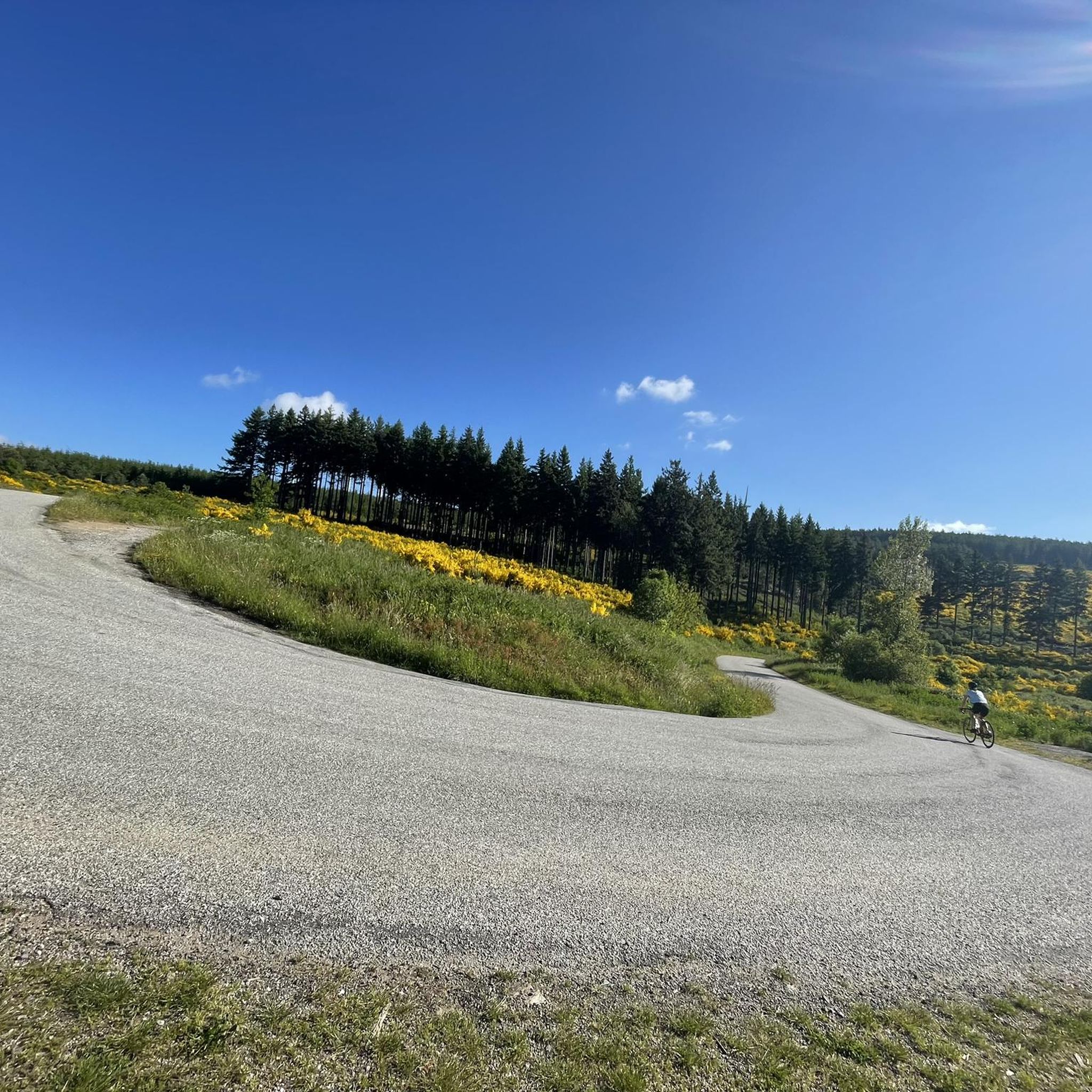
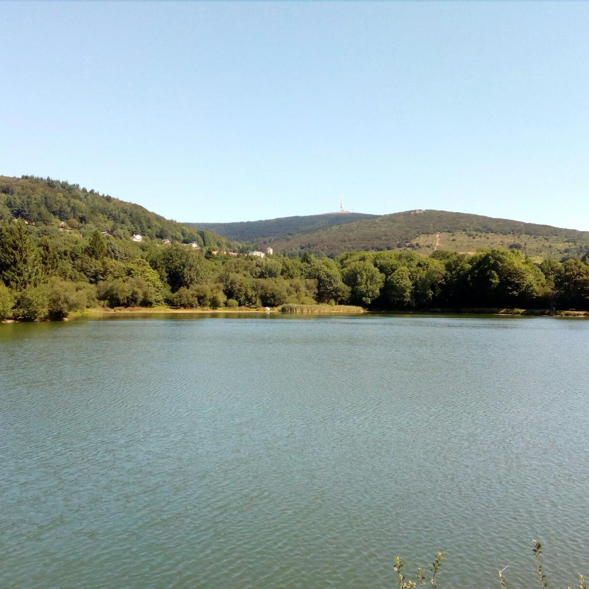
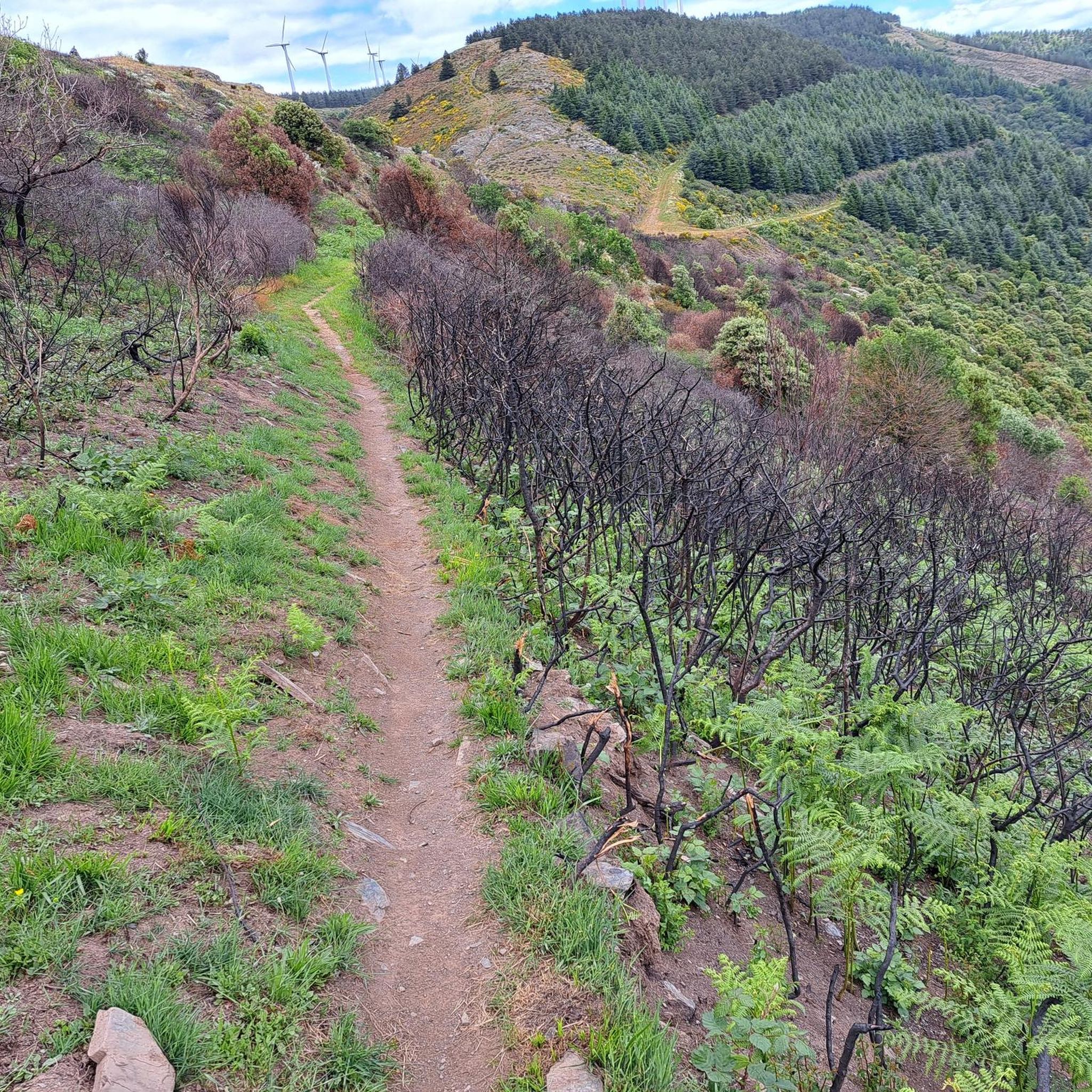
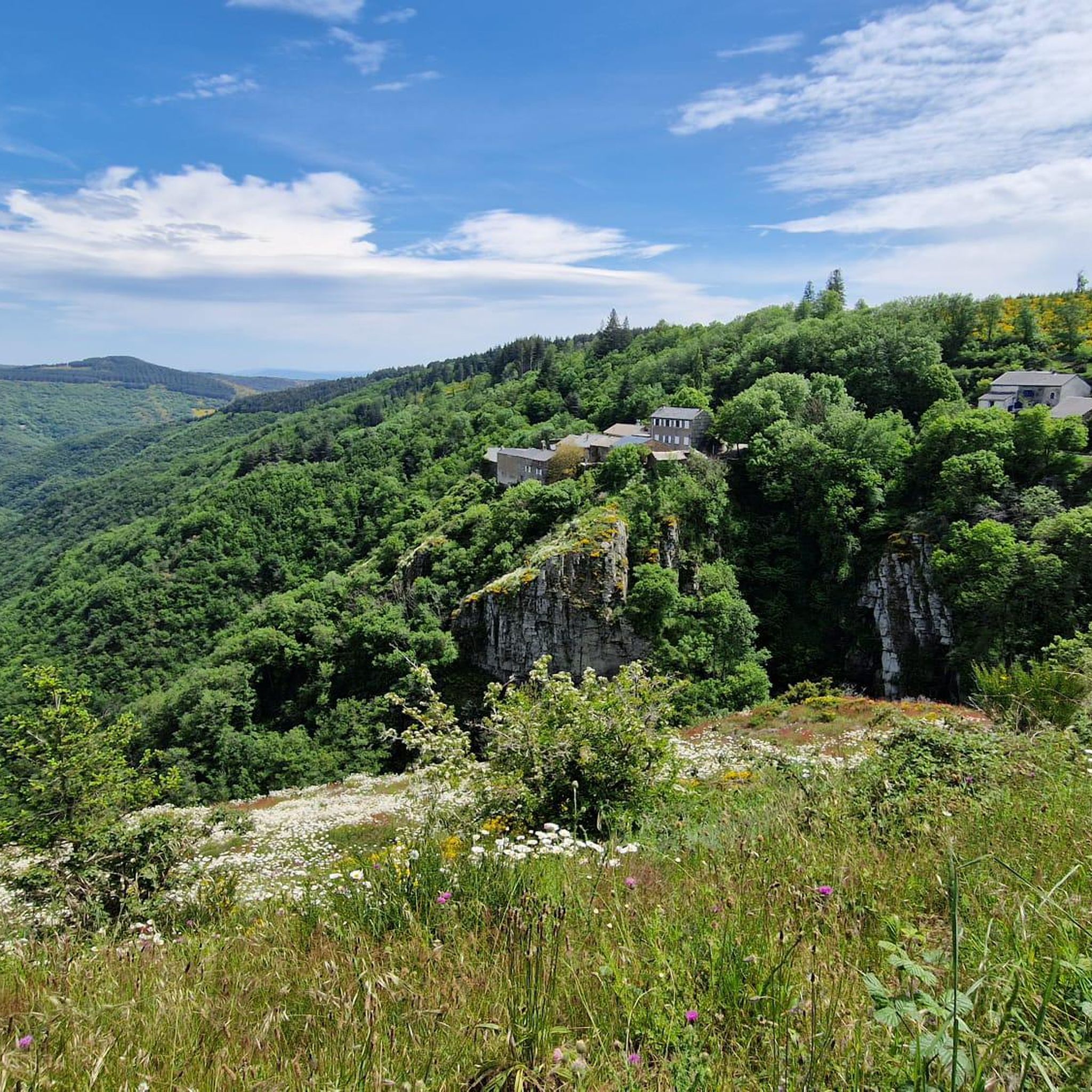

Tips from the Community

Narrow passage with worn ruts from cart wheels... (Roman?)
0
0

Save your energy for the last 5km, be careful when it's windy.
0
0

We like to compare, the Pic de Nore is a small Ventoux, its climbs from Mazamet or Villeneuve-Minervois are not as steep as that of the Ventoux from Bédoin but they still have to be earned. They are 17 and 22 km respectively, have an average gradient of 5.5% and 4.56%, with a maximum gradient of 11.8% and 10%. For my part, I chose to join Pradelles-Cabardès via the forests from Limousis, passing in particular the Soulanes de Nore, I was treated to some good slopes with a double-digit percentage ... Two legends would explain its name: in the first it is the fairy Nore who, annoyed by the damage caused to the crops by the Cers wind, would have planted her pike in the ground there, and as if by magic the rocks would have accumulated around to form the Pique de Nore. In the second, the wind of Cers is still blamed for its damage to human crops, not only there, and it is Nore, Bug and Arach who went to complain to Jupiter. Jupiter does not like to be disturbed, he transformed Nore into a mountain and Bug and Arach into the summit of Bugarach ...
3
0


The Cubserviès waterfall is a true masterpiece of nature: the Sambrès plateau dominates this part of the Montagne Noire with its cover of conifers. It drains several streams that join together and form the Rieutort. The river then enters a fault in the rock to form the Cubserviès waterfall. It is made up of several projections and is nearly 90 meters high, making it the highest waterfall in the Aude department. Needless to say, there is no access to the foot of the waterfall as it is so deep. In fact, you should not approach it, it is much too dangerous! The part visible from the belvedere reaches 35 meters, for the greatest pleasure of your eyes!
1
0

Very nice walk, varied nature, beautiful view, very pretty heather ☺️ Partially shaded.
1
1

Technical MTB route. Only take the route on the descent!
0
0

Mountain bike loop from Conques/Orbiel to Pas de Montserrat - old Roman road - on the GR 36 Audois and the legendary Déval'Nore.
1
2
Frequently Asked Questions
How many running routes are available in the Labastide-Esparbairenque area?
There are over 90 running routes around Labastide-Esparbairenque, offering a wide range of experiences for joggers. These routes traverse the diverse landscapes of the Montagne Noire, from challenging mountain ascents to tranquil woodland paths.
What kind of terrain can I expect on the running trails?
The running trails around Labastide-Esparbairenque feature varied terrain, including the rolling hills of the Montagne Noire, dense chestnut woodlands, and paths winding through the Orbiel valley. You'll find options ranging from moderate trails to more demanding mountain routes with significant elevation changes.
Are there any running routes that pass by waterfalls?
Yes, you can experience the impressive Cubserviès Waterfall, the highest in the Aude department, on a run. The Cubserviès Cascade loop from Mas-Cabardès is a challenging 9.0 miles (14.6 km) path that features this natural wonder.
What scenic views or landmarks can I expect to see on a run?
Many routes offer breathtaking panoramic views. For instance, the Pic de Nore Summit – Pic de Nore loop from Fournès leads to the highest point of the Montagne Noire, offering extensive views over the Aude Plain to the Pyrénées and the Mediterranean on clear days. You can also explore historical trails like the old Roman road, or pass by the dramatic La Passerelle de Mazamet, a spectacular footbridge.
Are there any easy or beginner-friendly running routes?
While many routes in the region are challenging, there are some easier options available. The area offers a network of routes with varying difficulty levels, including 3 easy and 29 moderate trails, perfect for those looking for a less strenuous run or just starting out.
Can I find circular running routes in this region?
Yes, many of the running routes around Labastide-Esparbairenque are circular, allowing you to start and finish at the same point. Examples include the Gouffre de Cabrespine Loop Trail and the Lac de Pradelles-Cabardès – Pic de Nore loop from Cabrespine, providing convenient options for your run.
What do other runners enjoy the most about jogging in Labastide-Esparbairenque?
The running routes in Labastide-Esparbairenque are highly rated by the komoot community, with an average score of 4.4 stars from over 20 reviews. Runners often praise the varied terrain, the refreshing experience of running through shaded chestnut woodlands, and the challenging ascents that lead to rewarding panoramic views.
Are the running trails around Labastide-Esparbairenque dog-friendly?
Generally, the natural trails and woodlands around Labastide-Esparbairenque are suitable for running with dogs, provided they are kept under control. It's always advisable to check local regulations for specific areas, especially around protected natural sites or private land, and to ensure your dog is comfortable with the terrain and distance.
Are there any historical trails suitable for running?
Yes, the region features historical paths such as an old Roman road, sometimes referred to as the salt road. The Superbe panorama – Roman road loop from Cabrespine is a challenging 16.4 km route that incorporates this historically interesting trail, offering a unique running experience. Caution is advised in certain slippery sections.
What is the best time of year for running in Labastide-Esparbairenque?
The extensive chestnut woodlands provide shaded routes, making summer a pleasant time for running, especially when the sun is strong. Spring and autumn also offer ideal conditions with milder temperatures and beautiful seasonal foliage. Winter runs are possible, but it's wise to check weather conditions, especially for higher elevations like Pic de Nore.
Are there any lakes near the running routes for a post-run cool down?
Yes, Lake Pradelles (Lac de Pradelles-Cabardès) is located about 8km from Labastide-Esparbairenque and offers opportunities for swimming and relaxation in summer, making it a great spot to cool down after a run. Other nearby lakes include Lac de Birotos and Lac des Montagnès.
What are some of the more challenging running routes in the area?
For those seeking a challenge, routes like the Pic de Nore Summit – Pic de Nore loop from Fournès offer significant elevation gain and rewarding views from the highest point of the Montagne Noire. The Cubserviès Cascade loop from Mas-Cabardès is another difficult option, featuring substantial climbs and passing by the impressive waterfall.
Most popular routes around Labastide-Esparbairenque
Most popular attractions around Labastide-Esparbairenque

Get inspired with the komoot mobile app


Explore more
Browse the best Running Trails & Routes in other regions.
