The best walks and hikes around Großhettingen
4.4
(1875)
10,870
hikers
10
hikes
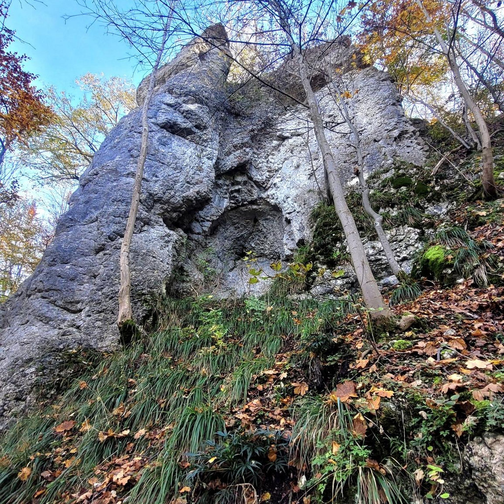
Hiking around Großhettingen offers diverse terrain within the Swabian Alb region, characterized by rolling hills and river valleys carved by the Lauchert and Fehla rivers. The landscape transitions from verdant meadows to more rugged, stony Alb highlands on the plateau. This area features varied rock formations, including the prominent Teufelstor Rock Arch in the Lauchert valley. The region provides a network of trails suitable for different activity levels.
Best hiking trails around Großhettingen
- The most popular hiking route is Hiking…
Last updated: August 19, 2026
4.6
(13)
48
hikers
10.4km
02:42
80m
70m
Moderate hike. Good fitness required. Easily-accessible paths. Suitable for all skill levels.
4.3
(6)
26
hikers
8.98km
02:22
80m
80m
Moderate hike. Good fitness required. Easily-accessible paths. Suitable for all skill levels.

Sign up for free
4.3
(6)
14
hikers
12.4km
03:17
130m
130m
Moderate hike. Good fitness required. Easily-accessible paths. Suitable for all skill levels.
8
hikers
12.0km
03:07
80m
80m
Moderate hike. Good fitness required. Easily-accessible paths. Suitable for all skill levels.
5
hikers
18.3km
04:48
130m
130m
Moderate hike. Good fitness required. Easily-accessible paths. Suitable for all skill levels.
Get access to more routes and recommendations from other explorers.
Sign up for free
Already have an account?
Our route recommendations are based on thousands of hikes, rides, and runs completed by other people on komoot.
Start today with a free account
Your next adventure awaits.
Login or Signup
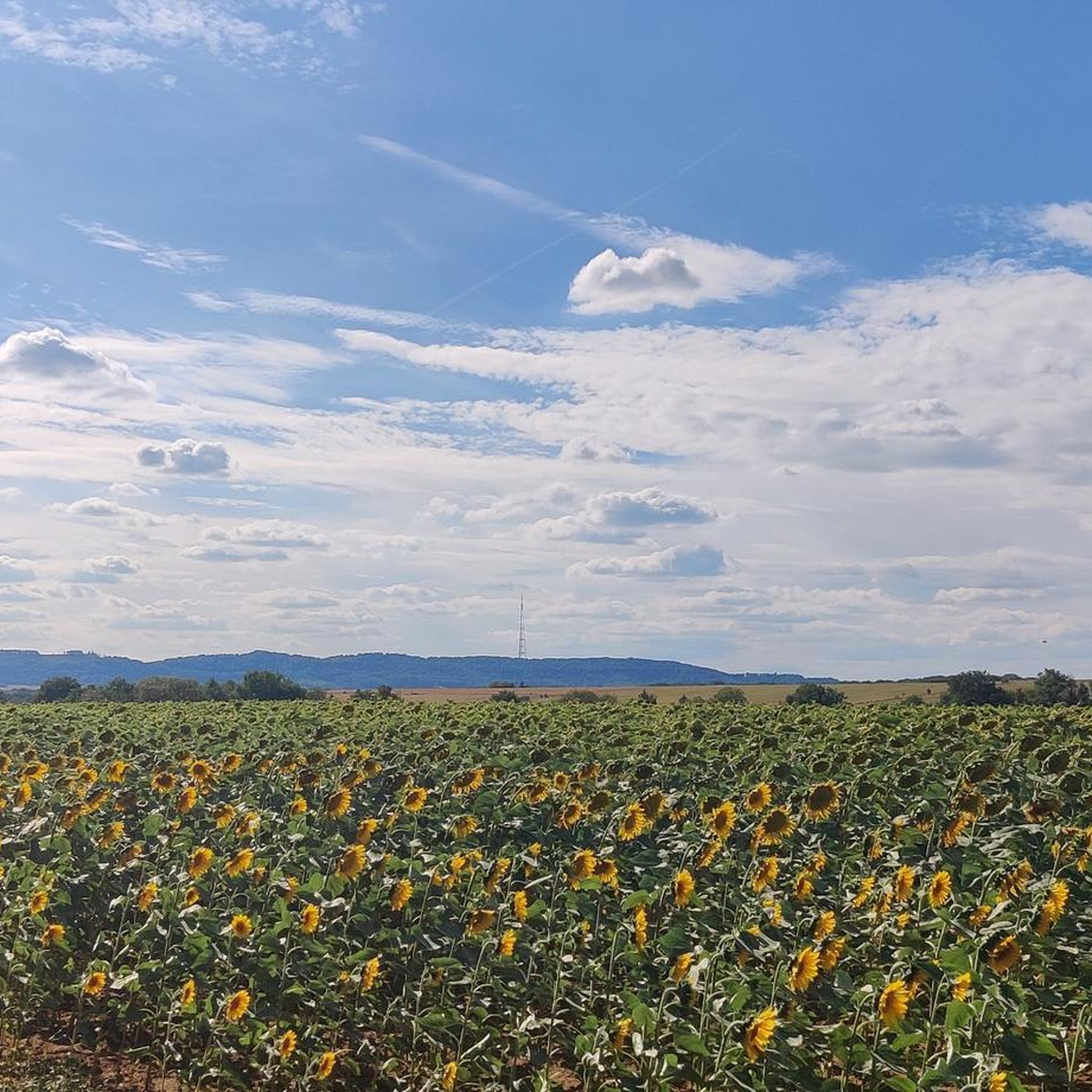
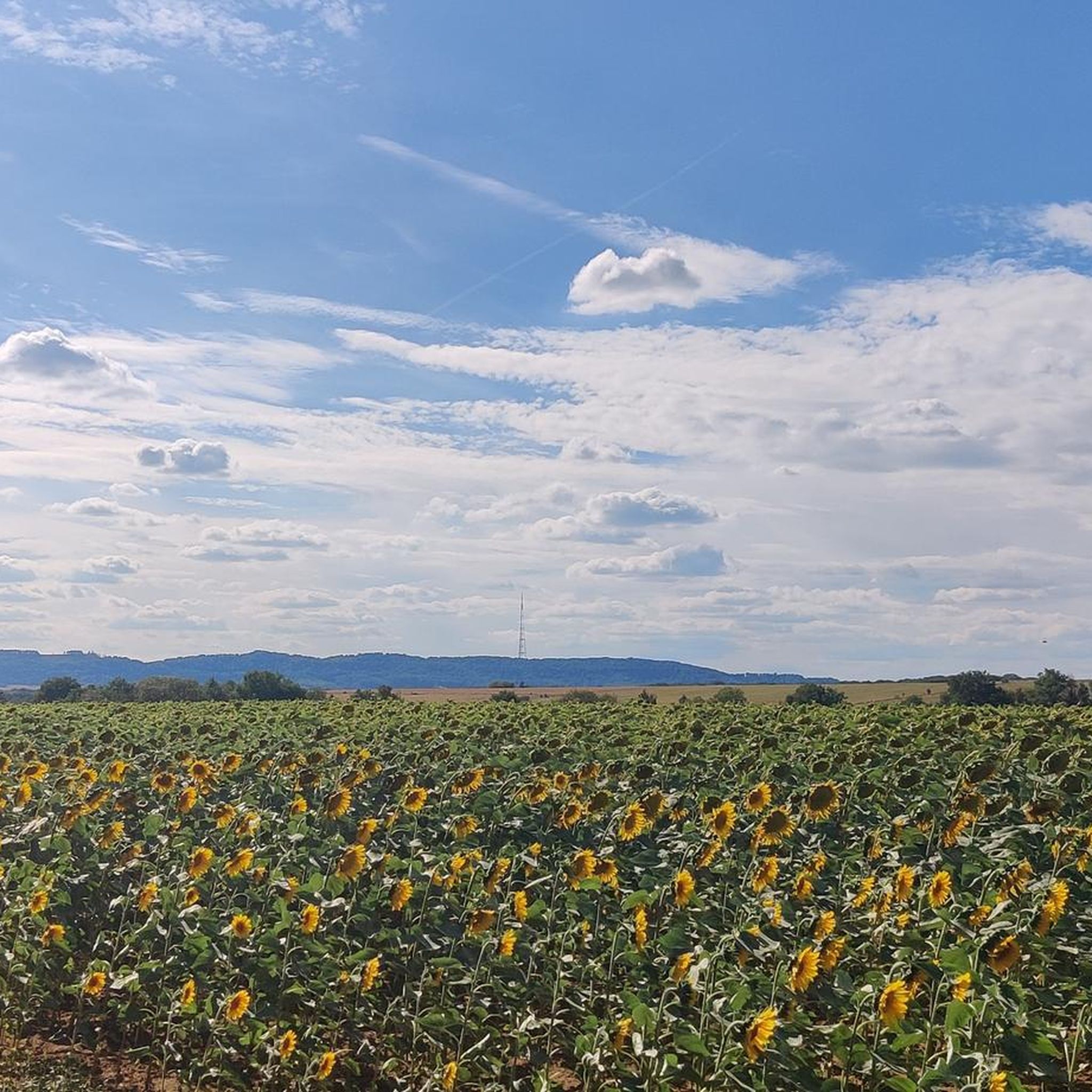
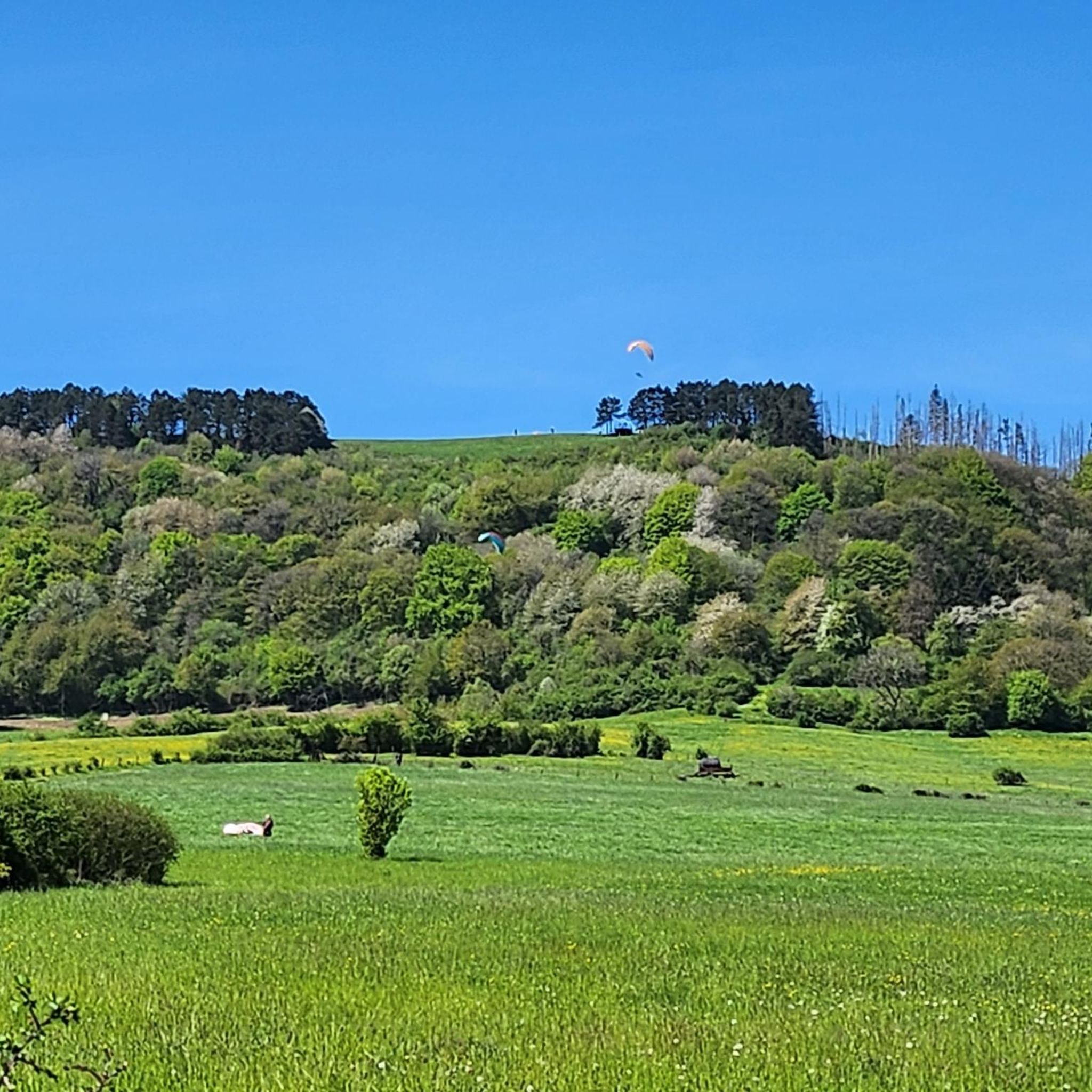
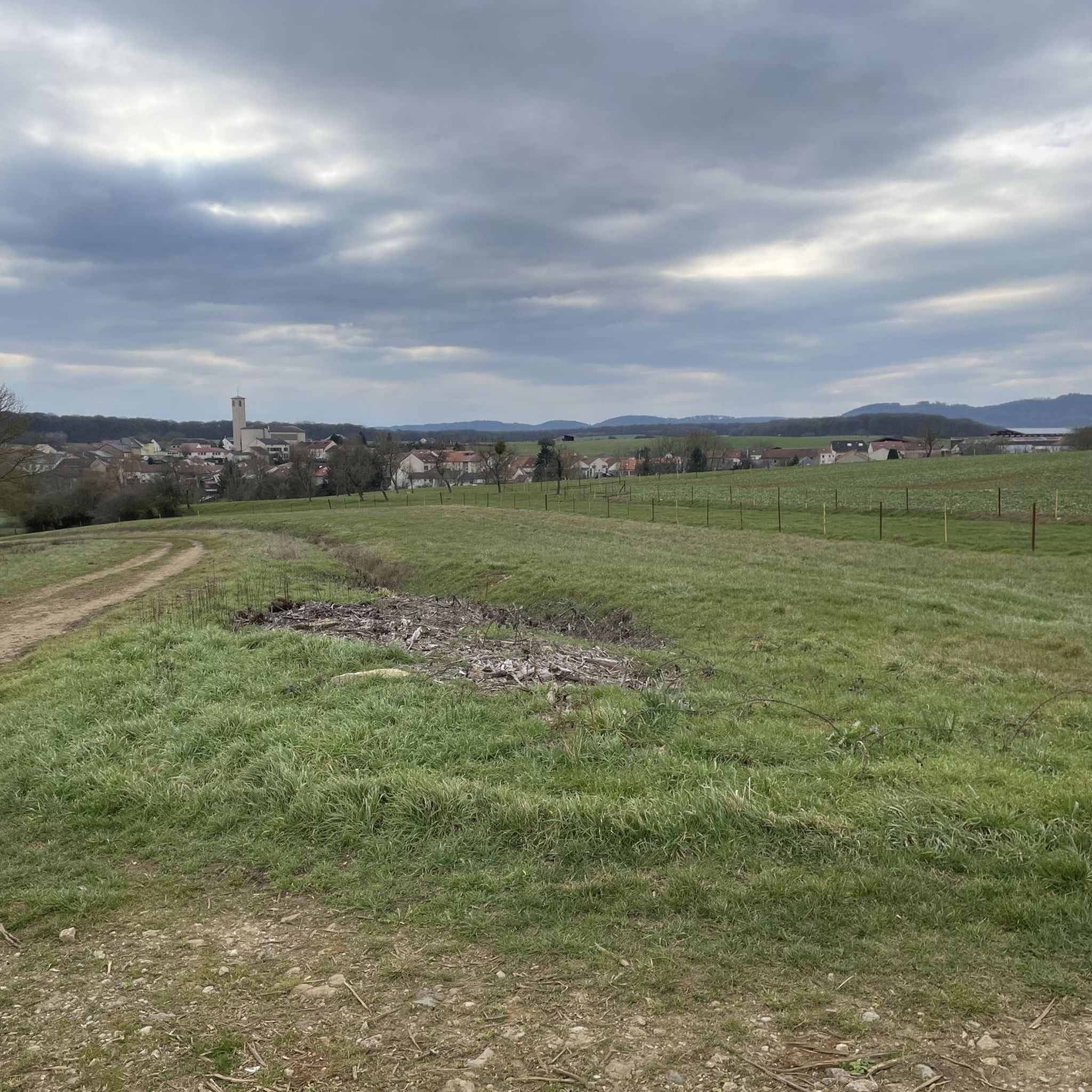
Tips from the Community

🛡️ **Ouvrage du Bois-Karré – Small Infantry Fortification with Tactical Significance** The **Ouvrage du Bois-Karré** is a small fortification of the Maginot Line west of Hettange-Grande, near the three-district border of France, Luxembourg, and Germany. It was built between 1931 and 1935 and served to secure a strategic valley access to the Moselle. 🔰 A so-called "petit ouvrage," Bois-Karré consisted of two combat blocks (infantry, machine gun), connected by a short underground passage. Despite its small size, it was heavily armed and cleverly camouflaged in the 1930s to blend into the landscape. 🕳️ Today, the fort is **not open to the public**, but individual elements such as concrete emplacements, trenches, and ventilation towers can still be seen in the forest – especially in winter or spring. **Tip:** Those interested in the smaller fortifications of the Maginot Line will find a quiet, almost forgotten relic here. It's an ideal detour on a hike around Hettange-Grande.
1
0
🛡️ **Ouvrage de Kobenbusch – Mighty Fortification of the Maginot Line** The **Ouvrage de Kobenbusch**, located south of Cattenom near the Luxembourg border, is one of the large underground fortifications of the **Maginot Line**. It was built between 1930 and 1935 and consisted of several combat blocks, underground connecting tunnels, a barracks, ammunition depots, and machine rooms – on several levels, anchored deep in the limestone. ⚙️ Particularly noteworthy: The technical systems were designed to be self-sufficient for months – including power generation, ventilation, a kitchen, and a hospital. The fort was occupied without a fight during World War II, continued to be used in part after the war, and is now privately owned. 🚷 It's **not open to the public**, but some ventilation towers and blockhouses are still visible in the forest near the D64 road (between Cattenom and Berg-sur-Moselle). **Tip:** For Maginot fans, a walk through the forest is worthwhile – with a little research, you'll find several bunker remains. Respect barriers, as some entrances are unstable or secured.
1
0
🚧 **Barrage du Lac du Mirgenbach – The Technical Heart of the Lake** At the southern end of **Lac du Mirgenbach** is the **dam (barrage)**, which serves to regulate the water and cool the nearby **Cattenom Nuclear Power Plant**. The facility is not open to the public, but is easily visible from the paths around the lake. 🌊 The dam marks the transition between technology and nature: Here, the water flows in controlled channels, creating an exciting interplay of industrial function and scenic tranquility. **Tip:** Those who walk the circular path around the lake have a good view of the dam from the eastern shore – particularly interesting for technology enthusiasts and landscape photographers.
3
0
🌅 **Lac du Mirgenbach – Quiet Lake near Cattenom** The **Lac du Mirgenbach** is an artificially created cooling water lake near the Cattenom nuclear power plant, south of Thionville. Despite its technical function, it is now a popular local recreation area – with hiking trails, fishing spots, and quiet shorelines. 🐦 The lake is surrounded by forest and reed beds and is considered a refuge for many bird species. It is also popular with photographers and nature lovers – especially at sunrise or sunset. **Tip:** Ideal for a quiet walk or bike ride. Note: Swimming is not permitted here – but the atmosphere by the water is still worth it!
2
0

The Lac de Mirgenbach is currently closed to the public.
2
0
A couple of very tranquil ponds at the edge of the Forest of Cattenom.
0
0

Nice picnic area with tables and a hut on the edge of the étangs.
1
0
Frequently Asked Questions
How many hiking trails are available around Großhettingen?
There are over 490 hiking routes around Großhettingen, offering a wide range of options for all skill levels. You'll find everything from easy strolls to more challenging treks.
What kind of terrain can I expect on hikes in the Großhettingen area?
The Großhettingen area, situated within the Swabian Alb region, features diverse terrain. You can expect gently rolling hills and verdant river valleys, particularly along the Lauchert and Fehla rivers. There are also more rugged, stony Alb highlands with distinctive rock formations, offering a varied hiking experience.
Are there any easy hiking trails suitable for beginners or casual walkers?
Yes, Großhettingen offers a good selection of easy trails. There are over 240 easy routes available. An example of an easy hike is the Ouvrage Bois-Karre – Picnic area loop from Boust, which is about 6.5 kilometers long.
What are some notable natural features or landmarks to see while hiking?
The region is known for its varied rock formations. A significant natural landmark is the Teufelstor Rock Arch (Devil's Gate Rock Arch) in the Lauchert valley. Additionally, you can explore areas like the Altenhoven Orchard Nature Reserve or the striking Red Cliff of the Former Iron Mine.
Are there any circular hiking routes around Großhettingen?
Yes, many trails in the area are designed as loops, allowing you to start and end at the same point. For example, consider the Hiking loop from Hettange-Grande, which covers about 10.3 kilometers through rolling hills.
What do other hikers say about the trails in Großhettingen?
The hiking routes in Großhettingen are highly regarded by the komoot community, with an average score of 4.4 stars from over 1700 reviews. Hikers often praise the diverse landscapes, from river valleys to rocky highlands, and the well-maintained paths.
Are there any challenging hikes for experienced trekkers?
While the majority of trails are easy to moderate, there are about 14 difficult routes for those seeking a greater challenge. These routes typically feature more significant elevation changes and rugged terrain.
What is the best time of year to go hiking in Großhettingen?
The region offers pleasant hiking conditions throughout much of the year. Spring and autumn provide mild temperatures and beautiful scenery with blooming wildflowers or vibrant fall foliage. Summer is also popular, though some trails might be more exposed to the sun. Winter hiking is possible, but conditions can vary, especially in the higher Alb highlands.
Are there any historical sites or cultural attractions near the hiking trails?
Yes, the area around Großhettingen has several interesting historical sites. You can find remnants of historical fortifications like Ouvrage du Kobenbusch or Ouvrage de Galgenberg (Maginot Line), offering a glimpse into the region's past.
Are the hiking trails in Großhettingen suitable for families with children?
Many of the easy and moderate trails are suitable for families. The rolling hills and river valleys offer gentle paths, and the diverse natural features can make for an engaging experience for children. It's always recommended to check the specific trail details for distance and elevation to ensure it matches your family's capabilities.
Where can I find parking for hiking trails in Großhettingen?
Specific parking information varies by trailhead. Many popular starting points for trails, especially those near villages or known attractions, typically have designated parking areas. It's advisable to check the details of your chosen route on komoot for specific parking recommendations.
Are there any trails that offer scenic viewpoints?
The Swabian Alb highlands provide elevated terrain with opportunities for scenic views over the river valleys and surrounding landscapes. Look for trails that traverse these higher areas to find panoramic vistas.
Most popular routes around Großhettingen
Most popular attractions around Großhettingen

Get inspired with the komoot mobile app


Explore more
Browse the best Hikes in other regions.
