The best running trails around Belcastel-Et-Buc
4.3
(13)
490
runners
42
runs
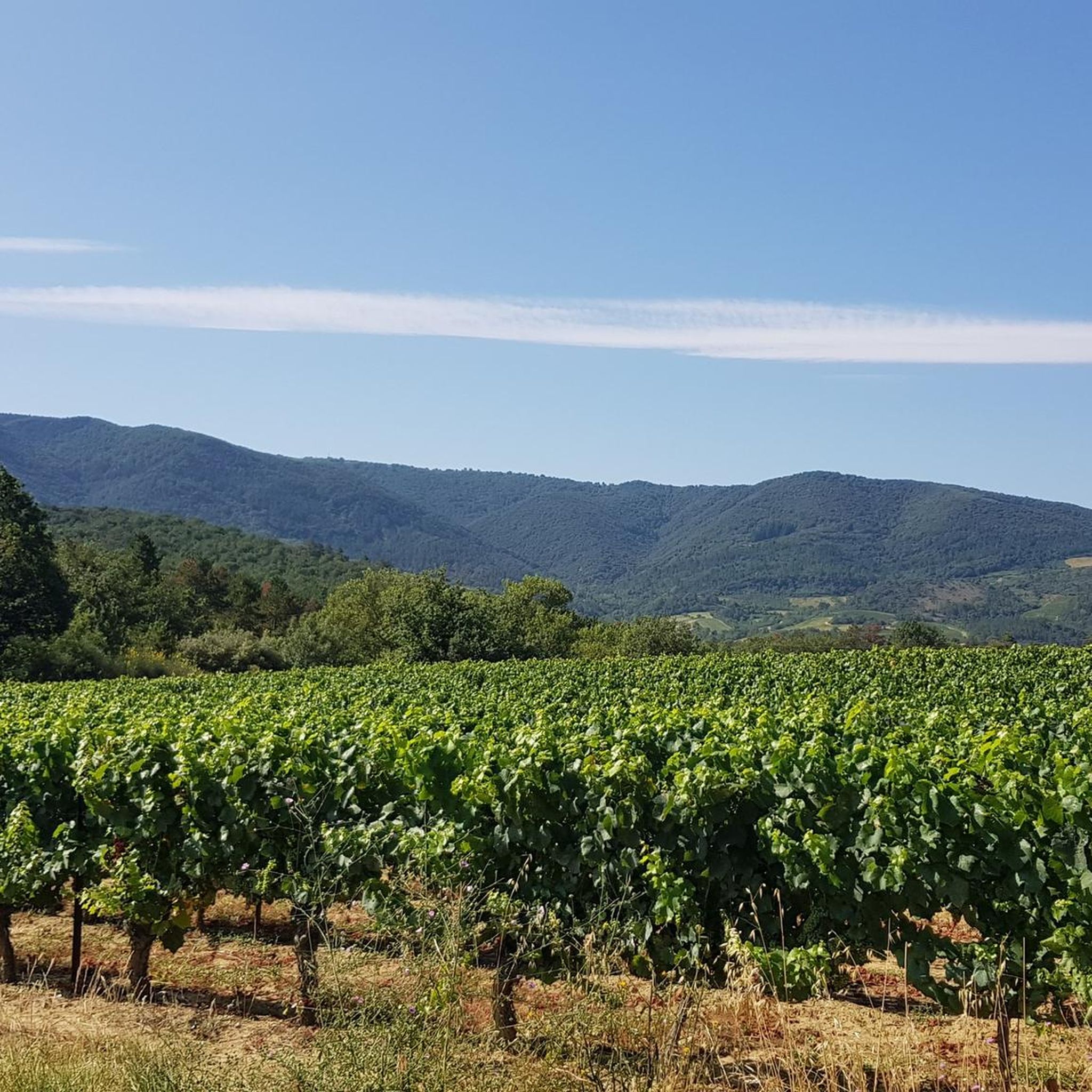
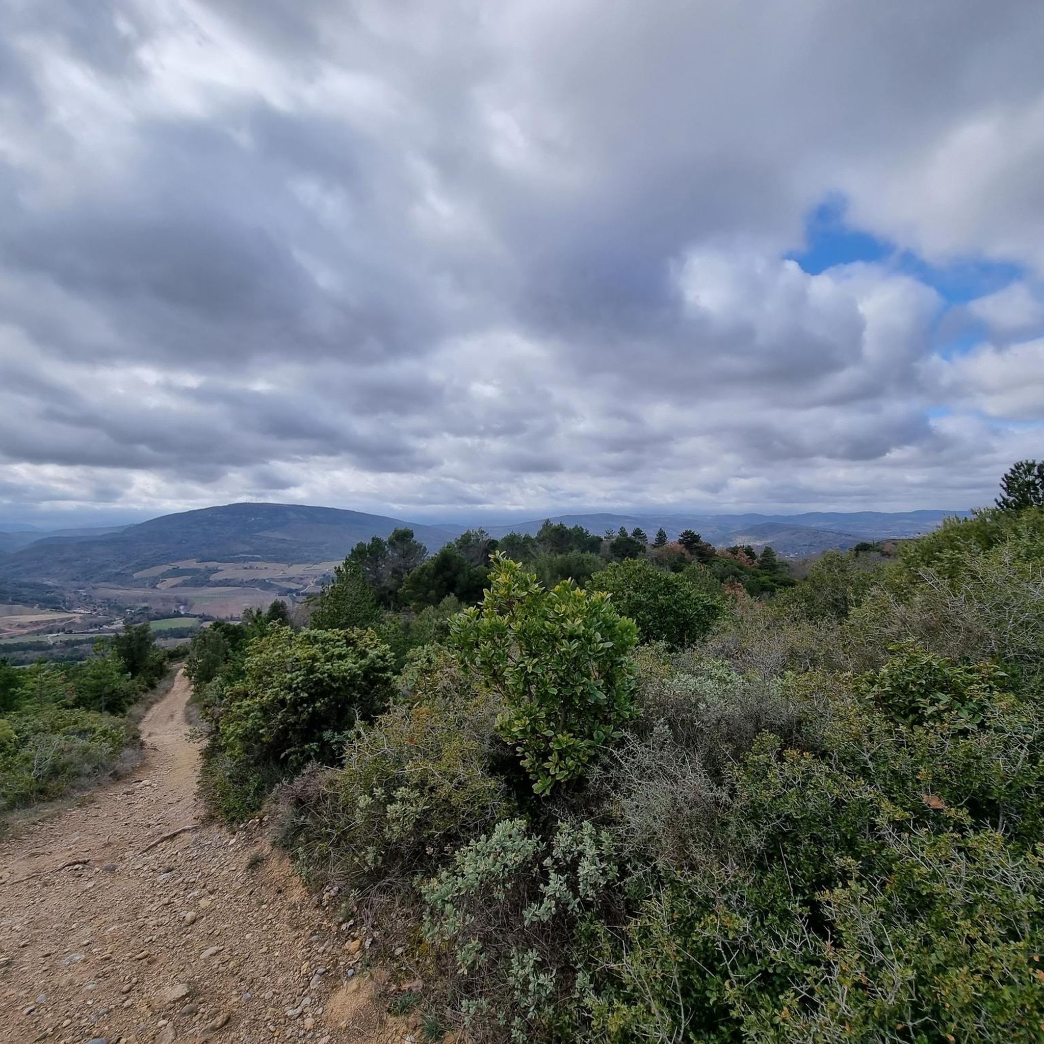
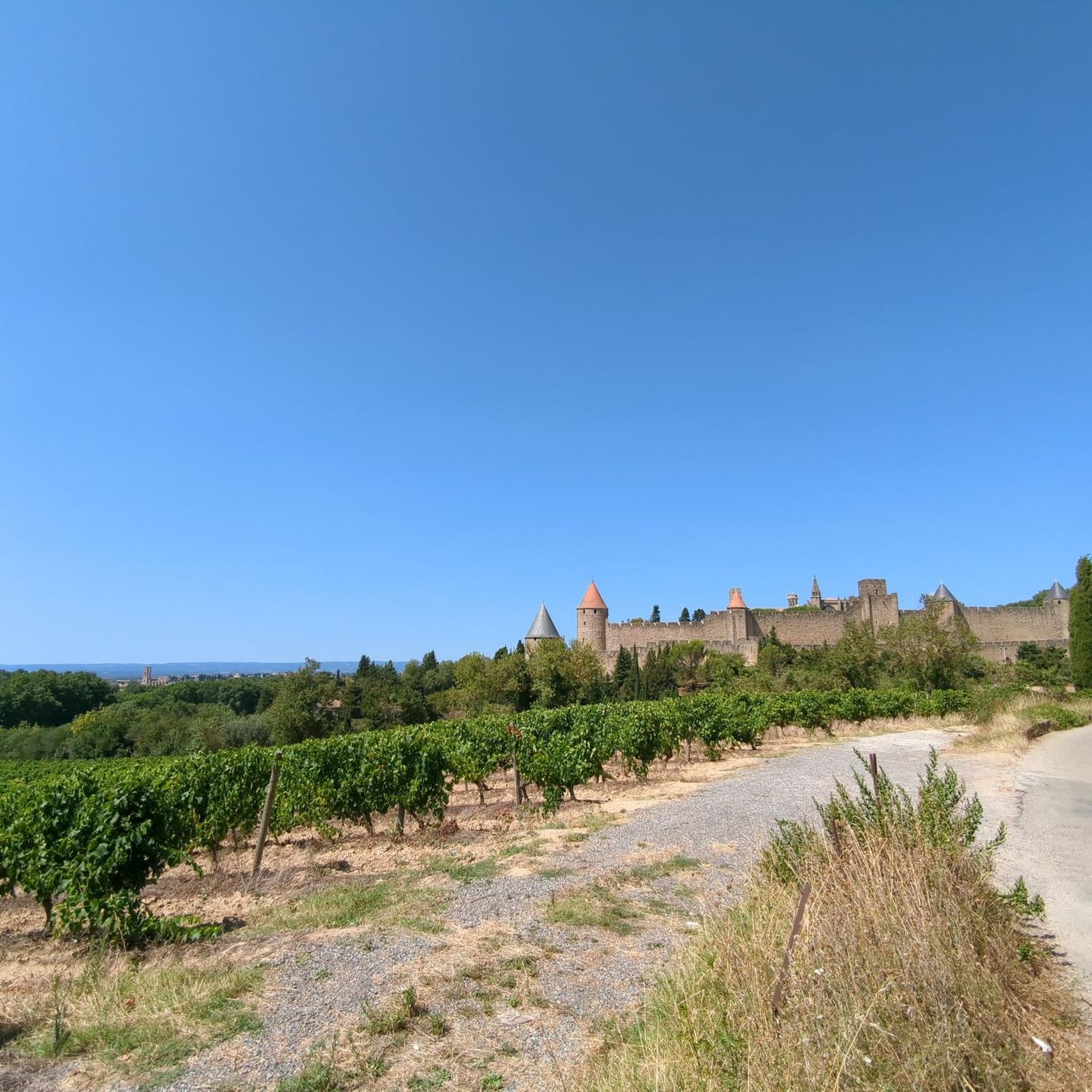
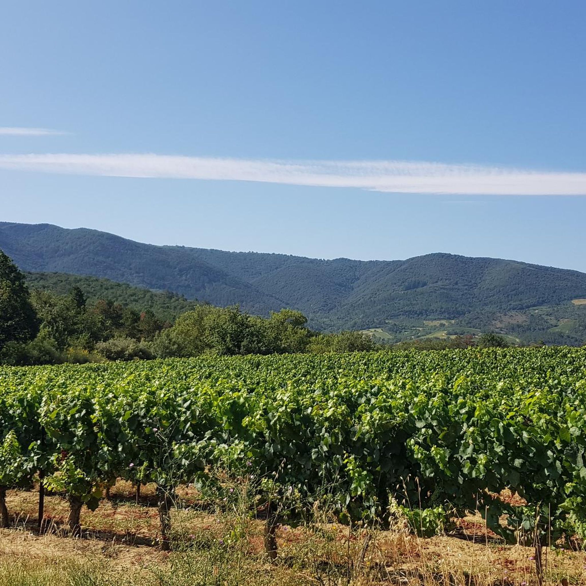
Jogging around Belcastel-Et-Buc offers diverse terrain within the Corbières massif, a region characterized by hills, forests, vineyards, and garrigue. The landscape features significant elevation changes, ranging from 273 to 802 meters, providing varied running surfaces. This area, part of the Aude department, includes a Natura 2000 site and is shaped by the Buc river, offering a mix of natural environments for running routes.
Best jogging routes around Belcastel-Et-Buc
- The most popular jogging route is View from Pic de Brau –…
Last updated: July 4, 2026
3.0
(1)
43
runners
23.3km
03:16
950m
950m
Hard run. Very good fitness required. Mostly accessible paths. Some sure footedness required.
36
runners
13.0km
01:25
170m
170m
Moderate run. Good fitness required. Mostly paved surfaces. Suitable for all skill levels.

Sign up for free
5.0
(1)
25
runners
11.3km
01:14
90m
90m
Moderate run. Good fitness required. Mostly paved surfaces. Suitable for all skill levels.
18
runners
8.38km
00:57
80m
80m
Moderate run. Good fitness required. Mostly paved surfaces. Suitable for all skill levels.
15
runners
10.7km
01:21
320m
320m
Hard run. Very good fitness required. Mostly accessible paths. Some sure footedness required.
Get access to more routes and recommendations from other explorers.
Sign up for free
Already have an account?
Our route recommendations are based on thousands of hikes, rides, and runs completed by other people on komoot.
Start today with a free account
Your next adventure awaits.
Login or Signup

Tips from the Community

The Pic de Brau, with its 654m altitude and its orientation table, offers a nice viewpoint during a race on the foothills of the Corbières massif.
0
0
Frequently Asked Questions
How many running routes are available around Belcastel-Et-Buc?
There are over 35 dedicated running routes in the Belcastel-Et-Buc area, catering to various fitness levels. You'll find options ranging from easy, gentle paths to challenging trails with significant elevation gain.
What kind of terrain can I expect on the jogging trails in Belcastel-Et-Buc?
The terrain around Belcastel-Et-Buc is quite varied, offering a dynamic running experience. You'll encounter paths through vineyards, wooded areas, and along the banks of the Aveyron River. Some routes feature windy plateaus and even small paths on cliff sides, providing both scenic views and challenging elevation changes. The region is characterized by hills, forests, and garrigue, with elevations ranging from 273 to 802 meters.
Are there any easy or beginner-friendly jogging routes?
Yes, there are several easier options. For instance, the Pont du Diable loop from Alet-les-Bains is a moderate 8.0 km path with gentle elevation changes, perfect for a scenic and less strenuous run. Overall, there are 3 easy and 13 moderate routes available.
What do other runners enjoy most about jogging in Belcastel-Et-Buc?
The running routes in Belcastel-Et-Buc are highly rated by the komoot community, with an average score of 4.6 stars. Runners often praise the diverse terrain, the panoramic views, and the opportunity to explore the region's natural beauty and historical sites. The mix of forests, vineyards, and river paths makes for a very engaging experience.
Are there any circular jogging routes in the area?
Yes, many of the routes are designed as loops, allowing you to start and finish in the same location. Examples include the challenging View from Pic de Brau – Bergeries de Brau loop from Cournanel, and the Château des évêques d'Alet loop from Cournanel, which takes you through varied landscapes.
Can I find jogging routes with scenic viewpoints or landmarks?
Absolutely. The region is rich in natural beauty and historical sites. Many routes offer stunning views of the Aveyron Valley. You might pass by viewpoints like Brau Peak or explore areas near the medieval village of Belcastel itself, with its 15th-century bridge and the impressive Château de Belcastel-et-Buc. The L'Escoubille loop from Ladern-sur-Lauquet also offers great scenery.
Are there options for longer or more challenging runs?
For those seeking a challenge, Belcastel-Et-Buc offers 20 difficult routes. The View from Pic de Brau – Bergeries de Brau loop from Cournanel is a prime example, covering 23.3 km with significant elevation gains, offering a strenuous workout and panoramic rewards. Another demanding option is the Pech Poulié loop from Saint-Hilaire.
What is the best time of year for jogging in Belcastel-Et-Buc?
Thanks to its Mediterranean climate, jogging is enjoyable for much of the year. Spring and autumn offer pleasant temperatures and vibrant landscapes, ideal for exploring the vineyards and wooded trails. Even winter can be suitable, with milder conditions compared to more northern regions, though some paths might be muddy after rain.
Are there any jogging routes that are suitable for families?
While specific 'family-friendly' designations aren't always explicit, routes with lower difficulty grades and gentler terrain would be most suitable. The 'Black Swift Trail' in the Sensitive Natural Area of the Cirque de Labarthe, mentioned in local research, is described as short and easy, making it a good option for a lighter jog with family members. Look for routes marked as 'easy' or 'moderate' for the best family experience.
Where can I find more information about the Belcastel region?
For additional information about the Belcastel region, including its history and other attractions, you can visit the official tourism website: tourisme-aveyron.com.
Most popular routes around Belcastel-Et-Buc
Most popular attractions around Belcastel-Et-Buc

Get inspired with the komoot mobile app


Explore more
Browse the best Running Trails & Routes in other regions.
