The best running trails around Mont-Tramelan
4.3
(29)
1,743
runners
152
runs
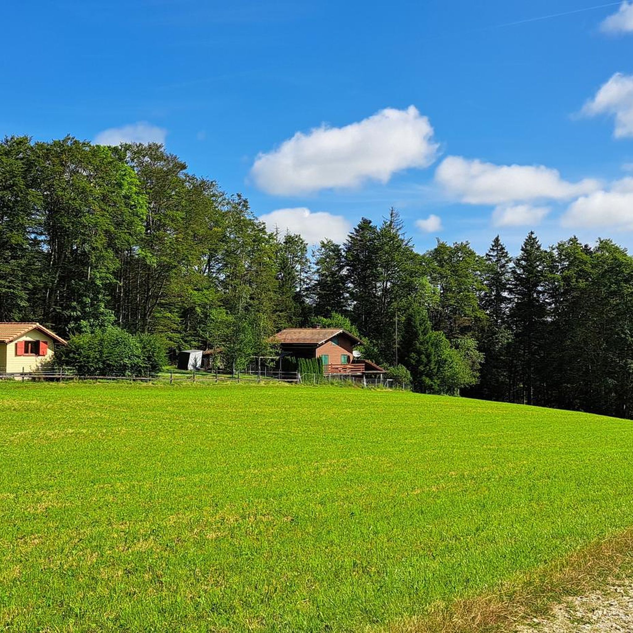
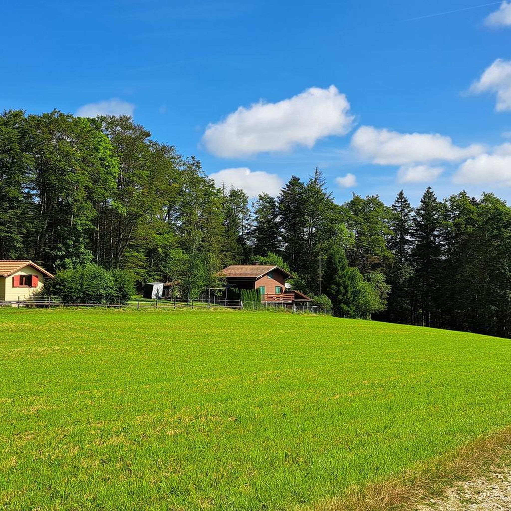
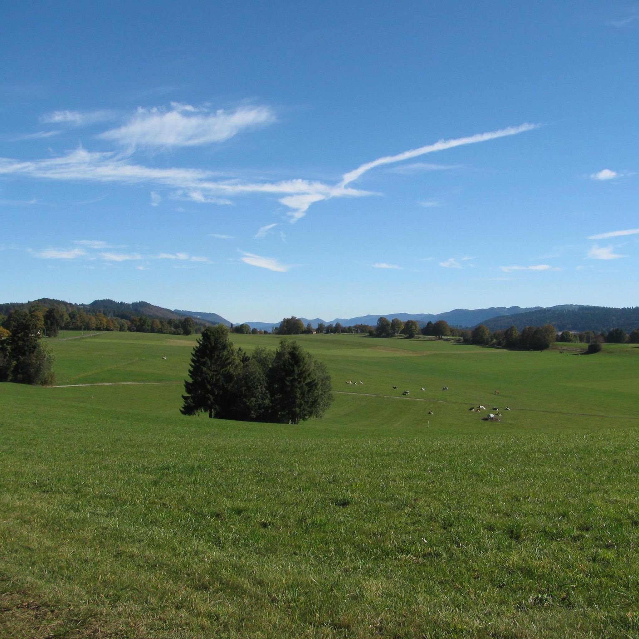
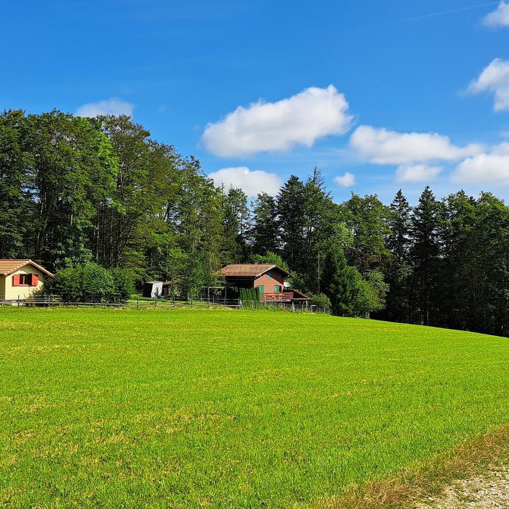
Jogging around Mont-Tramelan offers diverse landscapes in the Bernese Jura, situated at an altitude of 1,050 meters. The region features magnificent wooded pastures and serves as a gateway to the Franches-Montagnes, a high plateau with open grazing pastures, copses, and fir forests. The varied terrain of the Jura folds provides a dynamic running experience, including paths around the tranquil Étang de la Gruère marsh. This area is characterized by its natural features, offering a mix of elevations and scenic environments…
Last updated: June 27, 2026
96
runners
32.0km
04:13
1,020m
1,020m
Hard run. Very good fitness required. Mostly accessible paths. Some sure footedness required.
14
runners
9.25km
01:03
210m
210m
Moderate run. Good fitness required. Mostly paved surfaces. Suitable for all skill levels.

Sign up for free
7
runners
11.5km
01:20
170m
170m
Moderate run. Good fitness required. Mostly paved surfaces. Suitable for all skill levels.
11
runners
6.75km
00:44
110m
110m
Moderate run. Good fitness required. Mostly paved surfaces. Suitable for all skill levels.
10
runners
9.66km
01:07
170m
170m
Moderate run. Good fitness required. Mostly paved surfaces. Suitable for all skill levels.
Get access to more routes and recommendations from other explorers.
Sign up for free
Already have an account?
Our route recommendations are based on thousands of hikes, rides, and runs completed by other people on komoot.
Start today with a free account
Your next adventure awaits.
Login or Signup
Tips from the Community

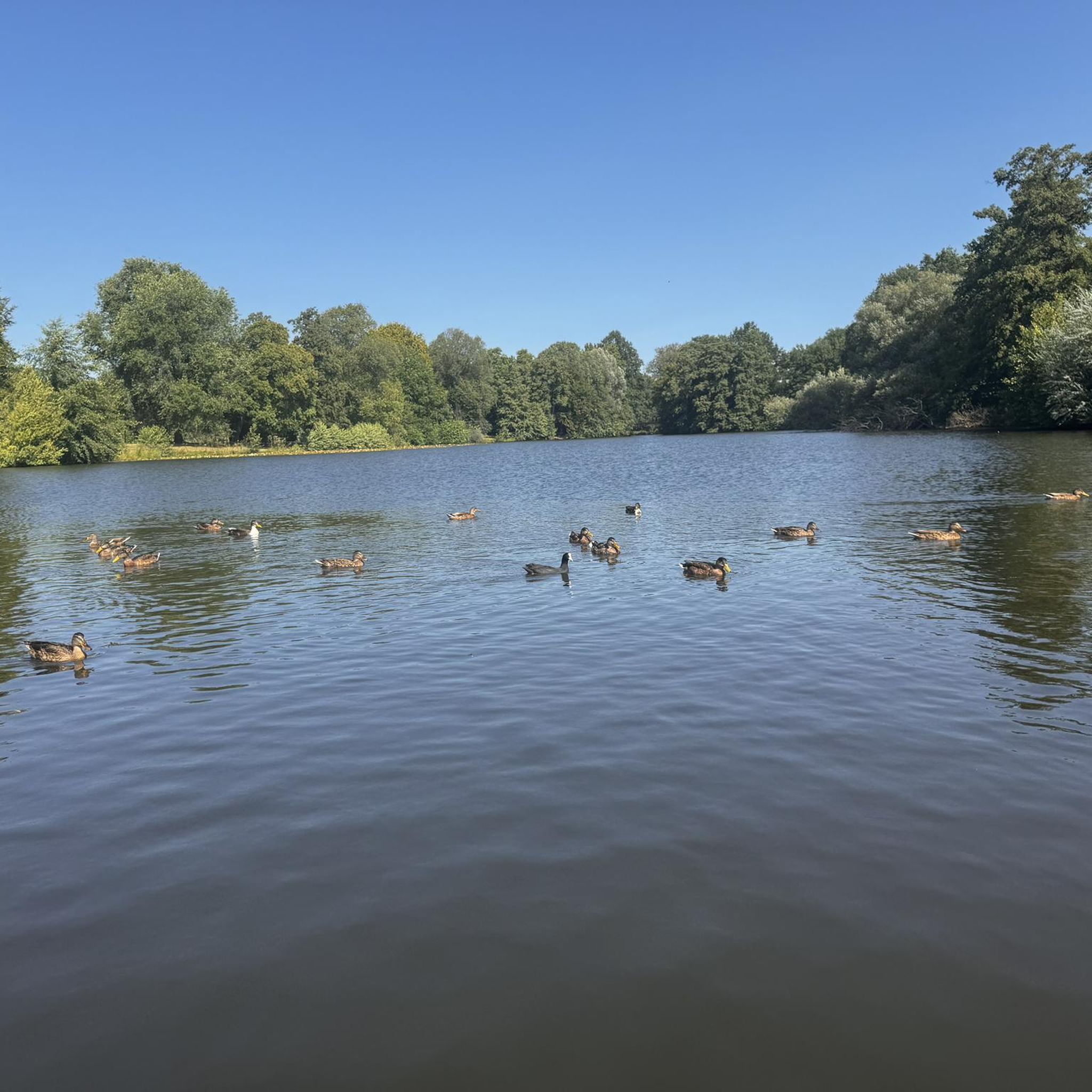
It is definitely recommended to walk the entire 3 km around the lake. The stunning views will reward you for your efforts.
0
0

The moor lake is located at 998 m above sea level in the municipality of Saignelégier, approximately halfway between Saignelégier and Tramelan. It is 600 m long, at least 60 m wide, and approximately 4.5 m deep. The Étang de la Gruère nature reserve, including the forest area surrounding the lake itself and two other small moor ponds northeast of it, covers an area of approximately 1 km².
1
0

The back of the Chasseral is always a beautiful view
0
0

On Mount Soleil, after more than 500 meters of positive elevation gain from the valley, the view from above is delightful, in the middle of the wind turbines. It is possible to see the Chasseral in front of you.
0
0

We should treat nature with care - you can swim in the lake 😉
1
0

Pretty path on the mountain of the right, or the crest of Mont Soleil, with a clear view of the Chasseral.
0
0
Quiet path along the Suze in the shadow of the Droit mountain. To the south you can see the Chasseral.
0
0
Here on the crest of Mont Soleil, in the heart of the wind farm, you have an excellent unobstructed view of the Chasseral.
0
0
Frequently Asked Questions
How many running routes are available around Mont-Tramelan?
There are over 150 dedicated running routes around Mont-Tramelan, offering a wide variety of options for all skill levels. These include everything from easy loops to challenging long-distance trails through the Bernese Jura.
What kind of terrain can I expect on the jogging trails in Mont-Tramelan?
The jogging trails in Mont-Tramelan feature diverse terrain, from the magnificent wooded pastures and open grazing lands of the Franches-Montagnes plateau to serene paths around the Étang de la Gruère marsh. You'll encounter a mix of elevations, forests, and open landscapes characteristic of the Jura folds.
Are there any easy running routes suitable for beginners or a relaxed jog?
Yes, Mont-Tramelan offers several easy to moderate running routes. For a pleasant, moderate experience, consider the Running loop from Tramelan-Chalet, which covers about 6.7 km through varied terrain.
Where can I find routes with scenic views or natural landmarks?
Many routes offer stunning views. For panoramic vistas, consider trails that ascend towards peaks like Chasseral Summit and Viewpoint or Mont Sujet Summit. For a serene natural setting, the Étang de la Gruère – Étang de la Gruère loop from Les Reussilles takes you through a nationally significant marsh landscape, often praised for its peaceful atmosphere.
Are there any challenging long-distance running trails in the area?
Absolutely. For experienced runners seeking a challenge, the Bernese Jura Trail: La Traversée - Chasseral Regional Park is a difficult 32 km route with significant elevation gain, offering a demanding and rewarding experience through the Chasseral Regional Park.
What do other runners say about the jogging routes in Mont-Tramelan?
The running routes in Mont-Tramelan are highly rated by the komoot community, with an average score of 4.3 stars from over 29 reviews. Runners often praise the diverse landscapes, from tranquil forests to open pastures, and the well-maintained trails that cater to various fitness levels.
Can I find circular running routes around Mont-Tramelan?
Yes, many of the running paths around Mont-Tramelan are designed as loops. For example, the Running loop from Tramelan is a popular moderate 9.3 km circuit that explores the varied terrain around Tramelan, including open pastures and forested sections.
Are there any historical or cultural points of interest along the running trails?
While the region is primarily known for its natural beauty, the broader Tramelan area features the 'Sentier des bornes,' a marked route showcasing historical boundary markers. You might also pass by the Marché-Concours Hall, a notable local landmark.
What is the best time of year to go running in Mont-Tramelan?
Mont-Tramelan offers excellent running opportunities throughout much of the year. Spring and autumn provide pleasant temperatures and beautiful scenery with changing foliage. Summer is also ideal, especially at the higher altitudes, while winter offers unique experiences for cross-country skiing, which can be adapted for winter trail running on suitable paths.
Are there any running routes that pass by water features?
Yes, the Étang de la Gruère – Étang de la Gruère loop from Les Reussilles is an excellent choice. This route circles the serene Étang de la Gruère, a nationally significant marsh landscape, offering peaceful views of the water and surrounding nature.
Are there running routes suitable for families or those looking for a shorter distance?
For families or those preferring shorter distances, there are several moderate loops. The Running loop from Les Reussilles, at about 9.6 km, offers a manageable distance through pleasant landscapes, suitable for a refreshing family outing.
Most popular routes around Mont-Tramelan
Most popular attractions around Mont-Tramelan

Get inspired with the komoot mobile app


Explore more
Browse the best Running Trails & Routes in other regions.
