The best walks and hikes around Artiguelouve
4.5
(326)
2,884
hikers
233
hikes
Hiking around Artiguelouve offers diverse landscapes characterized by rolling hills, agricultural fields, and river valleys. The area features varied terrain with moderate elevation changes, providing opportunities for both gentle strolls and more extended walks. Trails often lead through open countryside, past local landmarks, and alongside natural water features like the Gave de Pau river. The region provides views of the Pyrenees mountain range and features a mix of forests and farmland.
Best hiking trails around Artiguelouve
- The most popular hiking…
Last updated: July 3, 2026
4.2
(18)
76
hikers
5.14km
01:33
170m
170m
Easy hike. Great for any fitness level. Easily-accessible paths. Suitable for all skill levels.
4.0
(1)
17
hikers
12.1km
03:29
290m
290m
Moderate hike. Good fitness required. Easily-accessible paths. Suitable for all skill levels.

Sign up for free
4.0
(2)
10
hikers
14.3km
04:02
290m
290m
Moderate hike. Good fitness required. Easily-accessible paths. Suitable for all skill levels.
16
hikers
4.60km
01:11
20m
20m
Easy hike. Great for any fitness level. Easily-accessible paths. Suitable for all skill levels.
7
hikers
7.75km
01:58
20m
20m
Easy hike. Great for any fitness level. Easily-accessible paths. Suitable for all skill levels.
Get access to more routes and recommendations from other explorers.
Sign up for free
Already have an account?
Our route recommendations are based on thousands of hikes, rides, and runs completed by other people on komoot.
Start today with a free account
Your next adventure awaits.
Login or Signup
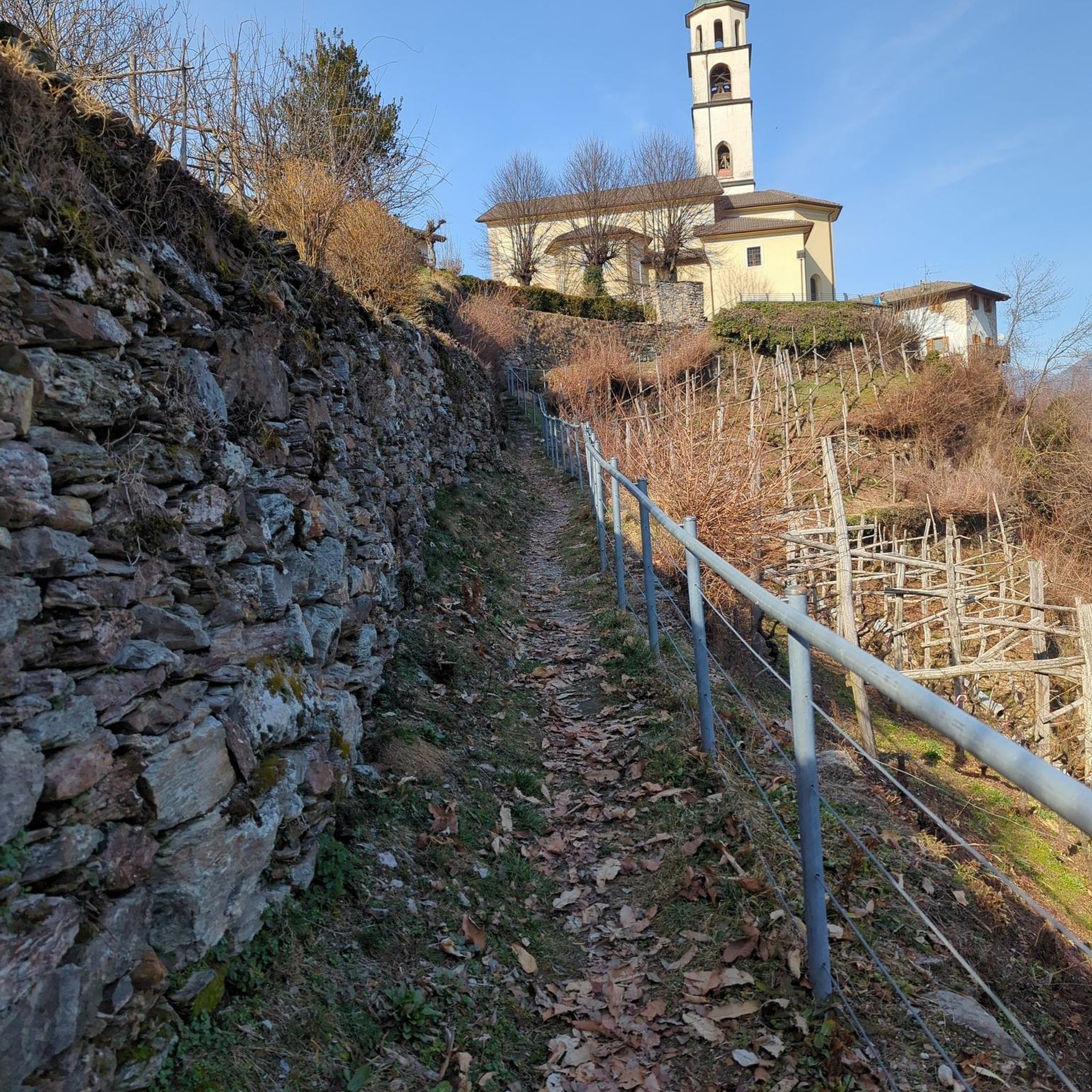
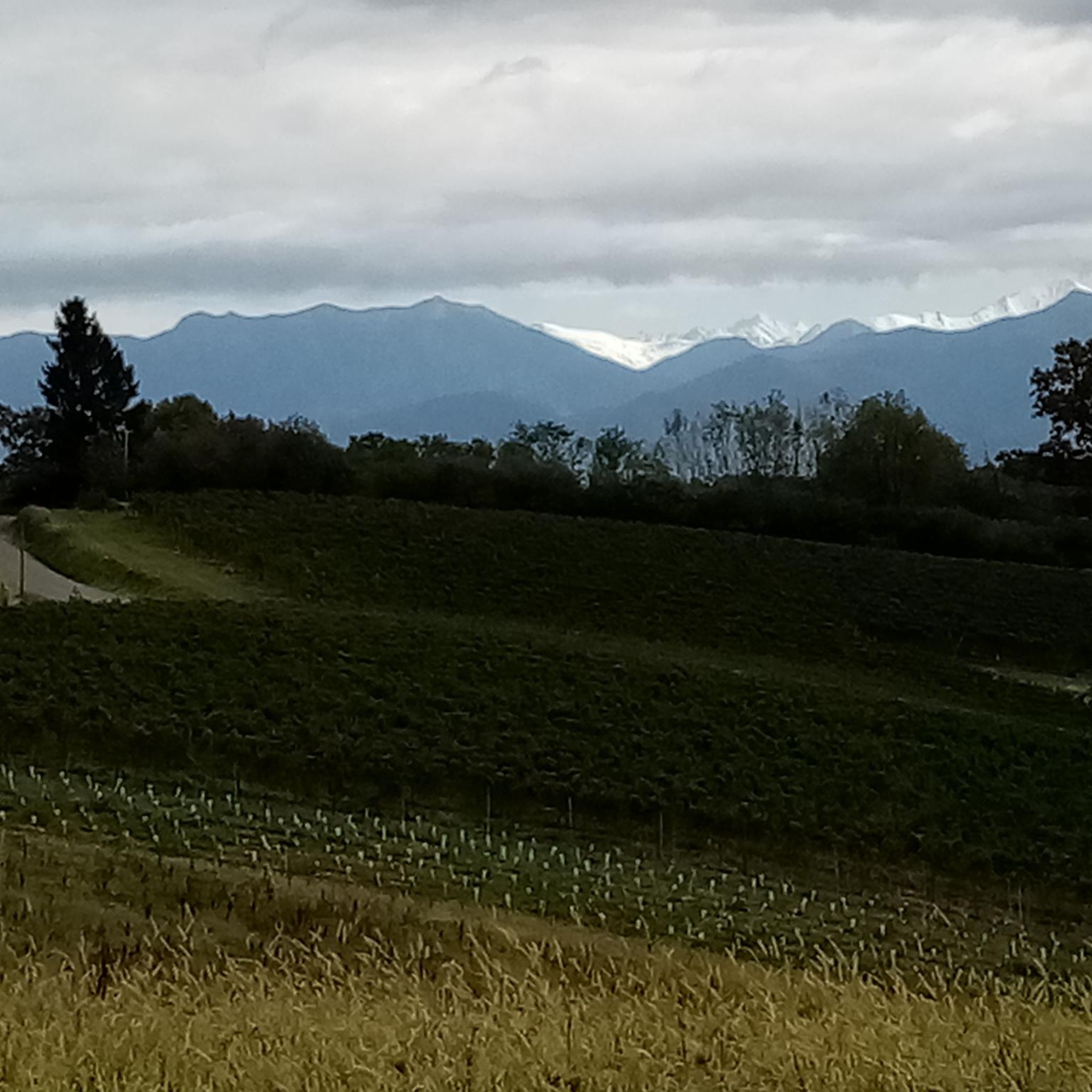
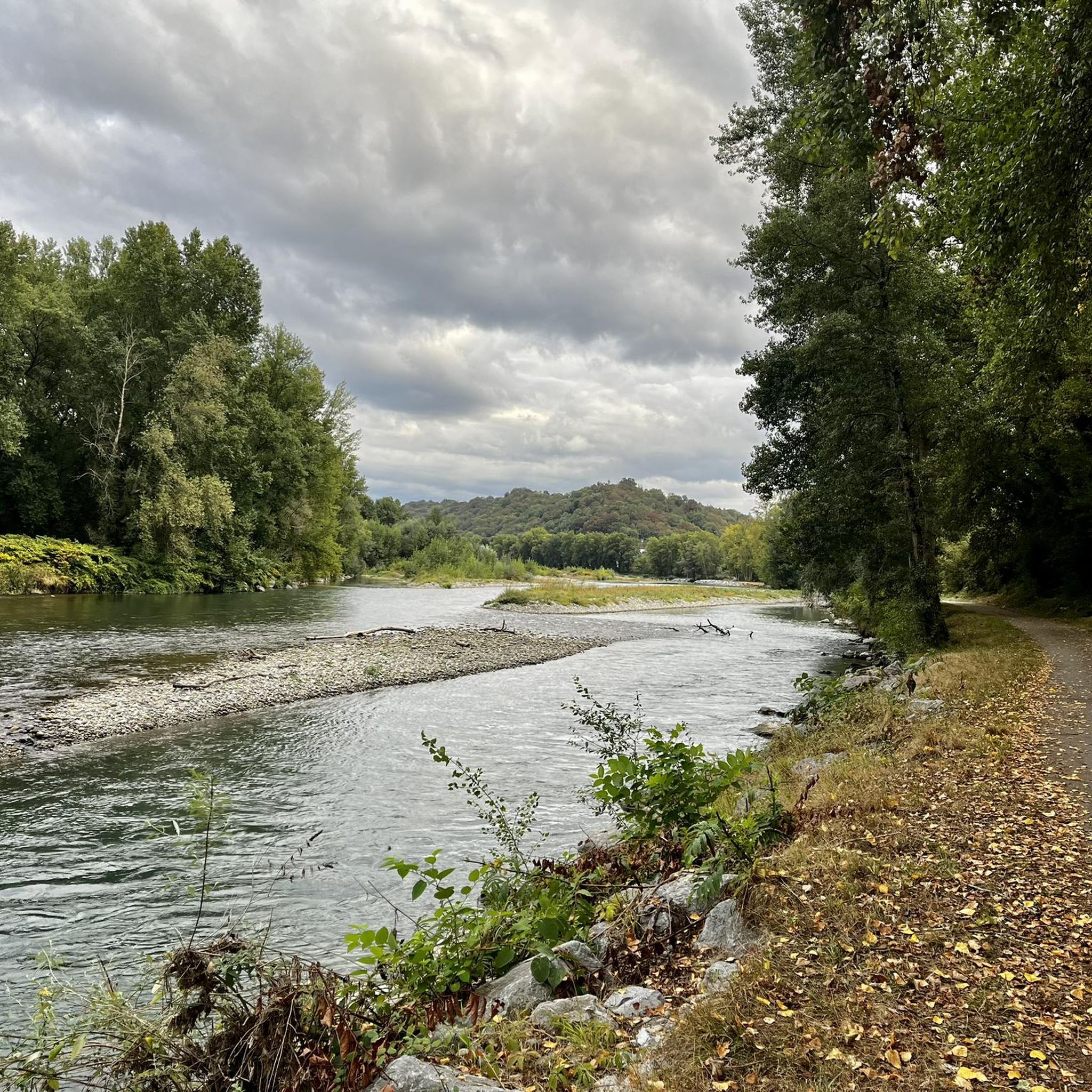

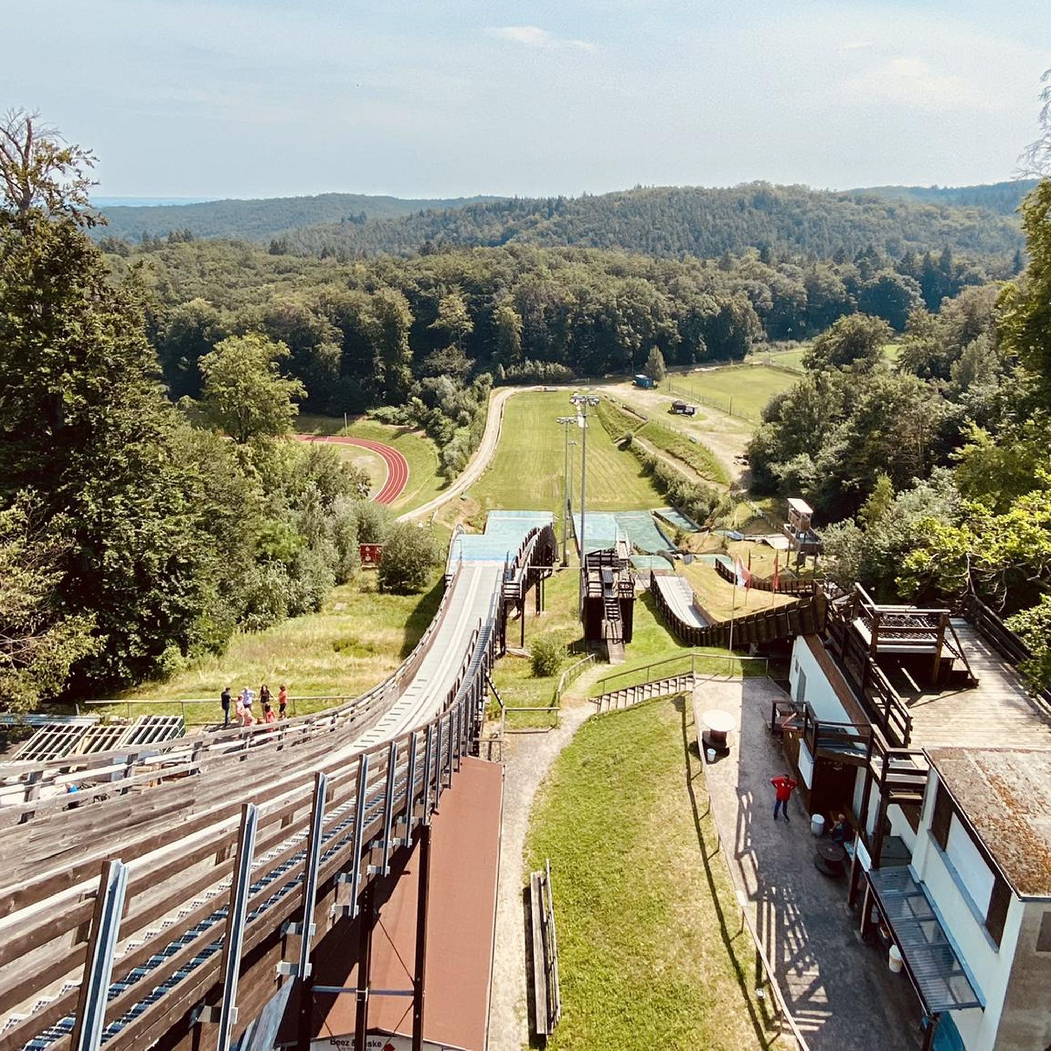
Tips from the Community


Beautiful and wide view of the gave, junction with Laroin by passage under the road
1
0

Picnic tables are present in the immediate vicinity of the Véloroute V81 and the Gave.
1
0
Frequently Asked Questions
How many hiking trails are available around Artiguelouve?
Artiguelouve offers a wide selection of hiking opportunities, with over 240 routes recorded on komoot. These range from easy strolls to more challenging hikes, catering to various preferences and fitness levels.
Are there any easy, family-friendly hikes in Artiguelouve?
Yes, Artiguelouve has over 120 easy routes perfect for families or those seeking a gentle walk. An example is the Hiking loop from Saint-Faust, which is an easy 5.3 km (3.3 miles) trail that takes about 1 hour 36 minutes to complete, winding through local landscapes.
What kind of terrain can I expect on hikes around Artiguelouve?
The hiking trails around Artiguelouve are characterized by rolling hills, open agricultural fields, and picturesque river valleys. You'll encounter varied terrain with moderate elevation changes, leading through open countryside, past local landmarks, and alongside natural water features.
Are there any circular walks available near Artiguelouve?
Many of the trails in the Artiguelouve area are circular, offering convenient starting and ending points. For example, the For La Commande – Church of Saint-Michel loop from Artiguelouve is a moderate 12.1 km (7.5 miles) path that provides a comprehensive experience of the area's varied terrain and local landmarks.
What do other hikers enjoy most about hiking in Artiguelouve?
The hiking routes in Artiguelouve are highly rated by the komoot community, with an average score of 4.5 stars from over 280 reviews. Hikers often praise the diverse landscape, the well-maintained paths, and the opportunity to explore both open fields and riverine scenery.
Are there any challenging hikes for experienced hikers in the Artiguelouve area?
While Artiguelouve is known for its moderate terrain, there are a few more challenging options available for experienced hikers, with 8 difficult routes recorded. These routes typically feature longer distances and more significant elevation gains, offering a greater physical test.
Can I find hikes that offer views of historical sites or landmarks?
Yes, several routes in the area provide views of historical sites. The Old Washhouse on the River – View of Château de Pau loop from Laroin is an 13.7 km (8.5 miles) trail that leads alongside the river and offers views of historical sites, including the notable National Museum and Estate of the Château de Pau.
What are some interesting places to explore near the hiking trails?
Beyond the trails, you can explore several points of interest. The National Museum and Estate of the Château de Pau is a significant historical site. Other notable attractions include the Gave de Pau Cycle Bridge, Palais Beaumont, and the Boulevard of the Pyrenees, offering diverse experiences.
Are there any longer, moderate hikes available in the region?
For those looking for a longer, moderate hike, consider the Church of Saint-Michel – For La Commande loop from Aubertin. This route spans nearly 16 km (9.9 miles) and typically takes around 4 hours 27 minutes to complete, offering an extended exploration of the local landscape.
What is the typical duration for hikes around Artiguelouve?
Hikes around Artiguelouve vary significantly in duration. Easy routes, like the 5.3 km loop from Saint-Faust, can be completed in under two hours. Moderate trails, such as the 14.2 km Church of Saint-Michel – For La Commande loop from Artiguelouve, typically take around 4 hours, with some longer options extending beyond that.
Most popular routes around Artiguelouve
Most popular attractions around Artiguelouve

Get inspired with the komoot mobile app


Explore more
Browse the best Hikes in other regions.
