The best walks and hikes around Loubaresse
4.6
(570)
2,905
hikers
161
hikes
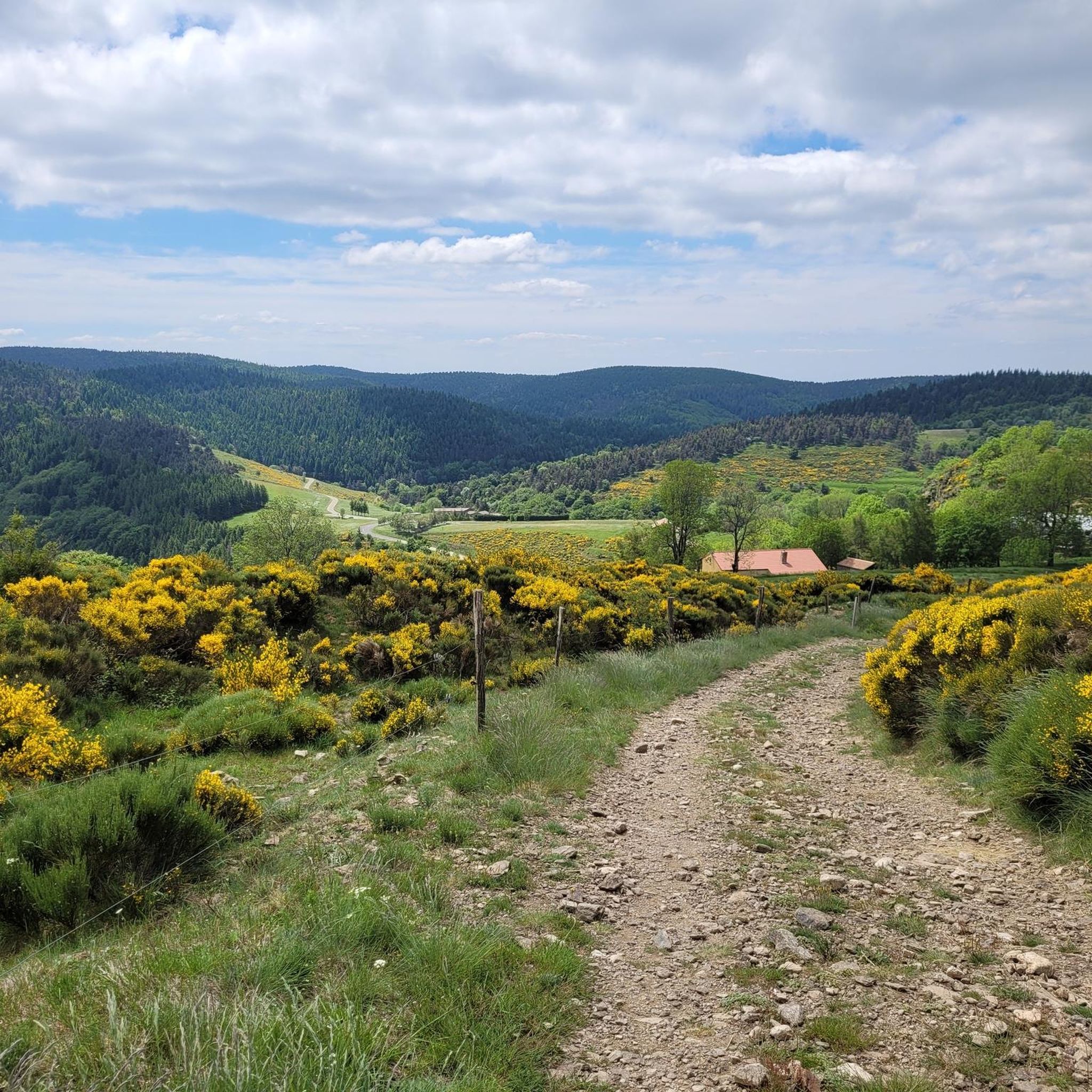
Hiking around Loubaresse offers diverse landscapes within the Ardèche Mountains UNESCO Global Geopark. The region is characterized by magnificent ridges providing panoramic views of the Monts d'Ardèche, the Alps, and the Ardèche plateau. Trails traverse varied terrain, including vast forests, broom-covered heathland, meadows, and rocky paths, with some routes exploring peat bogs and moors. This area provides a range of natural environments for outdoor exploration.
Best hiking trails around Loubaresse
- The most popular hiking route is Col de Meyrand Viewpoint…
Last updated: October 16, 2026
4.4
(19)
65
hikers
Moderate hike. Good fitness required. Mostly accessible paths. Sure-footedness required.
4.8
(11)
53
hikers
16.9km
05:48
740m
740m
Hard hike. Very good fitness required. Sure-footedness, sturdy shoes and alpine experience required.

4.3
(3)
21
hikers
Moderate hike. Good fitness required. Easily-accessible paths. Suitable for all skill levels.
5.0
(3)
17
hikers
6.15km
02:00
280m
290m
Moderate hike. Good fitness required. Easily-accessible paths. Suitable for all skill levels.
5.0
(1)
9
hikers
Hard hike. Very good fitness required. Mostly accessible paths. Sure-footedness required.
Get access to more routes and recommendations from other explorers.
Already have an account?
Our route recommendations are based on thousands of hikes, rides, and runs completed by other people on komoot.
Start today with a free account
Your next adventure awaits.
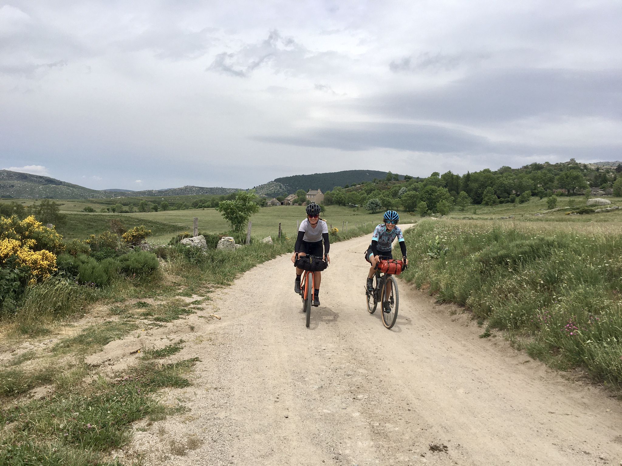
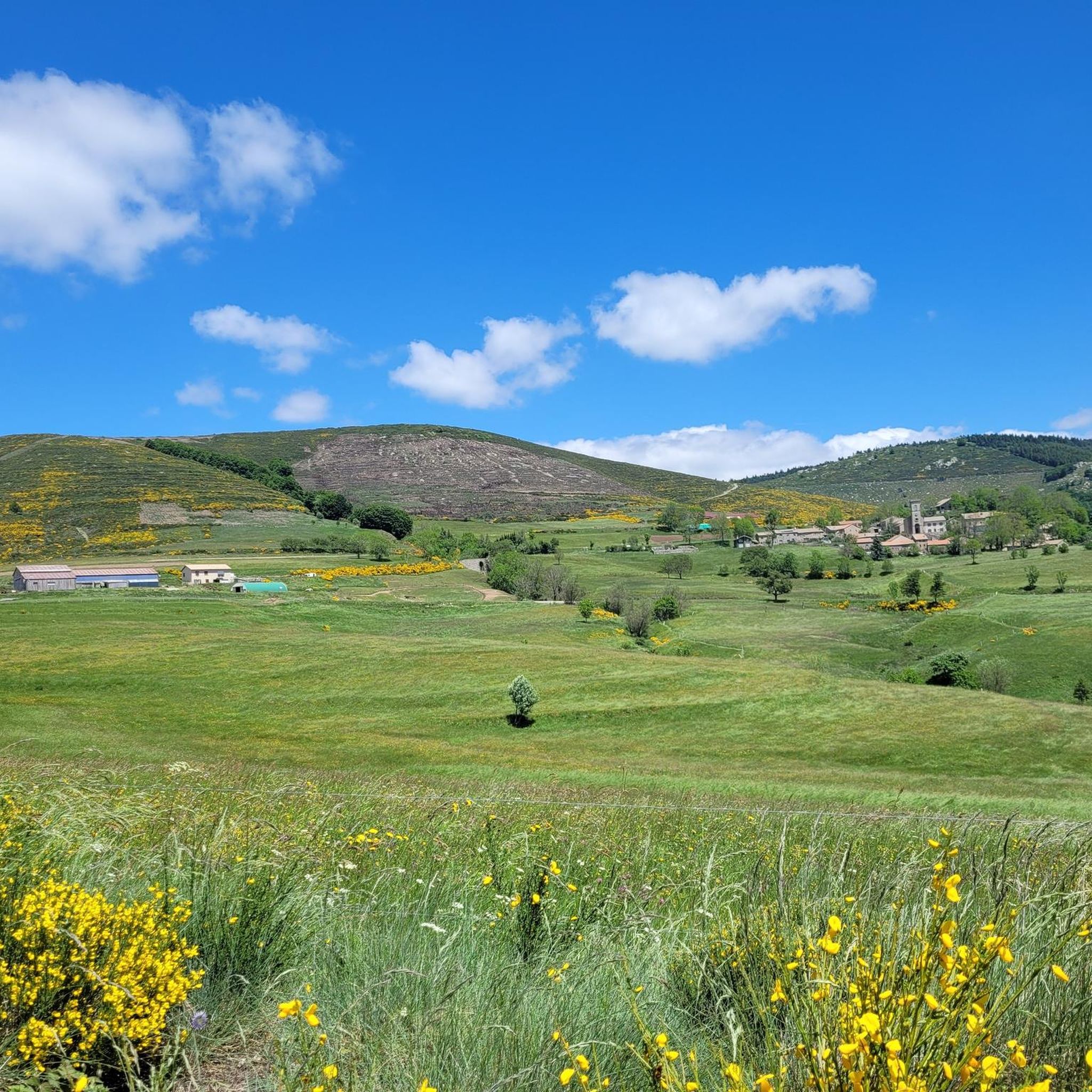
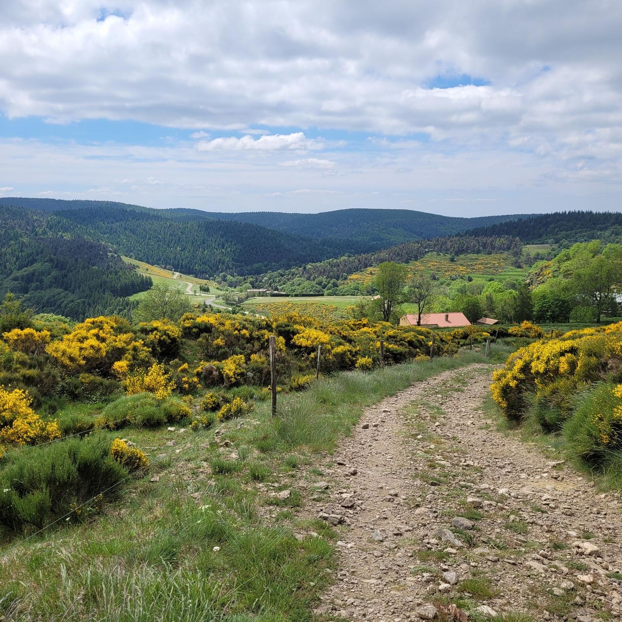
Other adventures around Loubaresse

Tips from the Community

One of the prettiest views in the region. I was lucky enough to have a magnificent blue sky. Pure happiness
0
0


A wide wooden walkway has now been built, making crossing easy.
2
0

The view from the pass over the Monts d'Ardèche Regional Natural Park is breathtakingly beautiful. The new Meyrand viewpoint, a little south of the summit of the pass, was inaugurated in July 2024. It offers an exceptional panorama of the Monts d'Ardèche, the Cévennes, and you can even see as far as Mont Ventoux.
0
0

Climbing up to the Col du Meyrand from Valgorge, you get a magnificent view of the gorges of the valley from which you came. To do this, you have to overcome sixteen kilometers at an average of 5.1%.
1
0

A climb that is definitely worth it! Wonderful panoramic views not only of the valley to the south, but also to the north. I have rarely enjoyed such a beautiful view! Easy to medium tour, no mountain equipment required.
0
0

A small village typical of the Ardèche des plateaus, Loubaresse is at the heart of a network of hiking trails for young and old. The village is located in a natural area made up of hay meadows, moors, broom, heather and forests.
0
0

Nice little hike from the Col de la femme morte
1
0
Frequently Asked Questions
How many hiking trails are available around Loubaresse?
Loubaresse offers a wide variety of hiking opportunities with over 145 trails. These include 32 easy routes, 76 moderate paths, and 37 more challenging options, ensuring there's something for every fitness level.
What kind of landscapes can I expect to see while hiking in Loubaresse?
The region around Loubaresse is known for its diverse landscapes within the Ardèche Mountains UNESCO Global Geopark. You'll encounter magnificent ridges offering panoramic views of the Monts d'Ardèche, the Alps, and the Ardèche plateau. Trails traverse vast forests, broom-covered heathland, meadows, and rocky paths, with some routes exploring unique natural settings like peat bogs and moors.
Are there easy hiking trails suitable for beginners or families in Loubaresse?
Yes, Loubaresse has 32 easy hiking routes perfect for beginners or families. These trails are generally well-maintained and offer a gentle introduction to the region's natural beauty. For a moderate option that's not too long, consider the Panorama – Loubaresse Village loop from Loubaresse, which is 6.2 km and takes about 2 hours.
Are there challenging hikes for experienced trekkers in the area?
Absolutely. For experienced trekkers, Loubaresse offers 37 difficult routes. A notable challenging option is the Signal de coucoulude – Dénave Creek loop from Loubaresse, which covers 19.1 km with significant elevation changes, providing a demanding and rewarding experience.
What are some notable natural attractions or viewpoints to look out for on the trails?
The area is rich in natural beauty and viewpoints. The Col de Meyrand Viewpoint offers stunning vistas. You can also explore the La Drobie Valley, known for its dramatic gorge. The Signal de Coucoulude is another prominent ridge providing expansive panoramas of the surrounding mountains and plateaus.
Are there any circular hiking routes around Loubaresse?
Yes, many of the trails around Loubaresse are designed as loops, allowing you to start and end at the same point. An example is the Signal de coucoulude – Signal de Coucoulude (1,448 m) loop from Col de Meyrand, a moderate 8.9 km route that offers varied terrain.
What do other hikers enjoy most about hiking in Loubaresse?
The hiking routes in Loubaresse are highly rated by the komoot community, with an average score of 4.6 stars from over 400 reviews. Hikers often praise the magnificent ridges, vast forests, and broom-covered heathland, as well as the diverse terrain and stunning panoramic views of the Monts d'Ardèche and beyond.
Are there any trails that feature unique natural elements like giant trees or specific geological formations?
Yes, the region offers unique natural features. For instance, the difficult La Drobie – Giant Sequoia loop from Col de la Croix de la Femme Morte traverses diverse landscapes and includes a remarkable Giant Sequoia, making it a memorable hike.
What is the best time of year to go hiking in Loubaresse?
The diverse terrain of Loubaresse, with its forests, heathland, and ridges, makes it suitable for hiking across multiple seasons. Spring and autumn offer pleasant temperatures and vibrant colors, while summer is ideal for enjoying the higher altitudes and cooler forest paths. Winter hikes are also possible, especially on lower elevation trails, though conditions can vary.
Are there any historical or religious sites accessible near the hiking trails?
Yes, the area around Loubaresse has some interesting historical and religious sites. You can find the Notre-Dame de Thines Church and Notre Dame de Neiges, which are notable religious buildings that can be explored as part of a wider visit to the region.
Are there opportunities for wild swimming or exploring water features near the hiking routes?
While specific wild swimming spots directly on the listed routes are not detailed, the broader Ardèche region, where Loubaresse is located, is known for its water features. The Borne river offers refreshing waters, and lakes like Lac du Bouchet are within reasonable distance for those looking to combine hiking with a dip.
Most popular attractions around Loubaresse

Get inspired with the komoot mobile app


Explore more
Browse the best Hikes in other regions.
