The best running trails around Wegenstetten
4.3
(289)
4,437
runners
323
runs
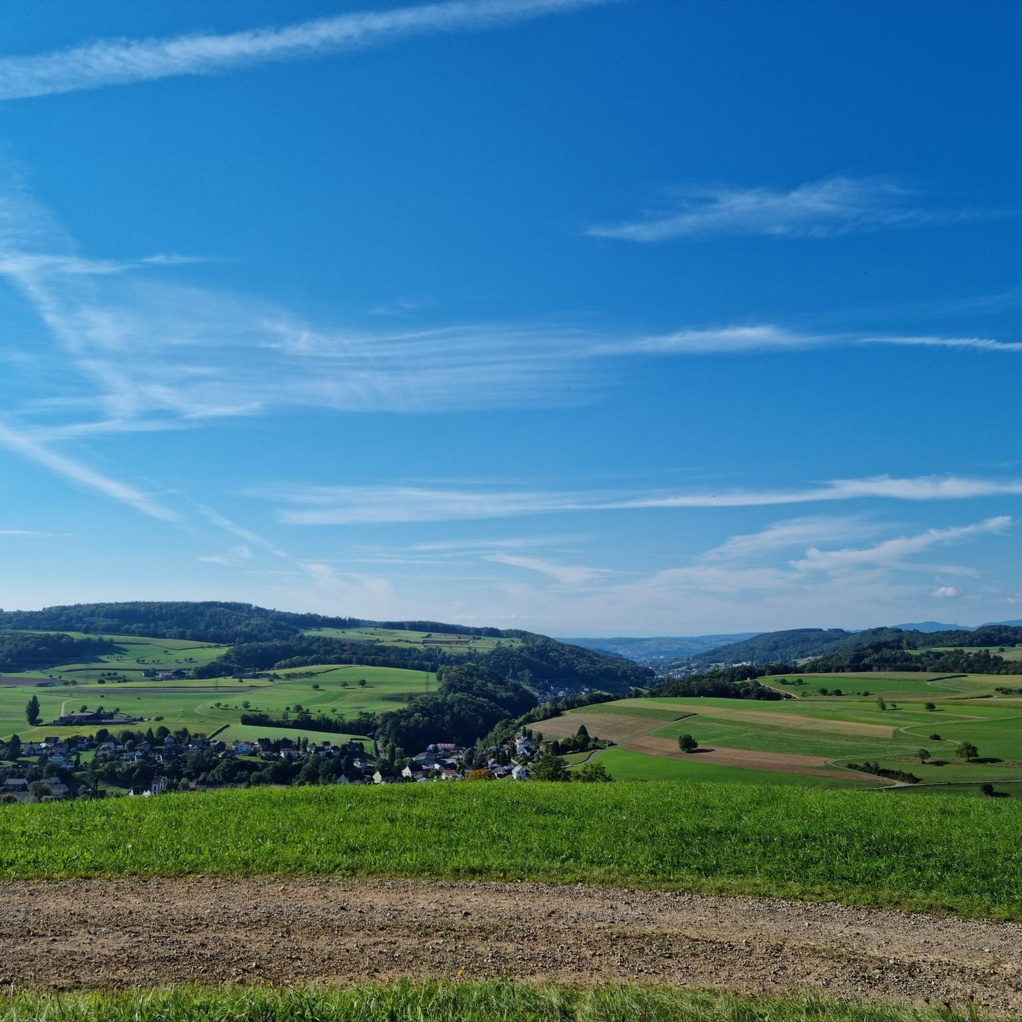
Jogging routes around Wegenstetten traverse a diverse landscape in the canton of Aargau, Switzerland. The region features a blend of agricultural lands and extensive forested areas, providing varied terrain for runners. Paths wind through fields and dense woods, offering dynamic environments. Elevated points like Wasserflue and the Wisenberg Observation Tower provide destinations for more strenuous runs.
Best jogging routes around Wegenstetten
- The most popular jogging route is Gelterkinden village square loop from Bezirk Sissach, a 4.8 miles (7.7 km)…
Last updated: October 14, 2026
5.0
(1)
20
runners
Moderate run. Good fitness required. Mostly paved surfaces. Suitable for all skill levels.
3.5
(2)
8
runners
8.34km
00:55
150m
150m
Moderate run. Good fitness required. Mostly paved surfaces. Suitable for all skill levels.

9
runners
13.3km
01:34
350m
350m
Hard run. Very good fitness required. Mostly accessible paths. Some sure footedness required.
7
runners
9.32km
01:01
160m
160m
Moderate run. Good fitness required. Mostly paved surfaces. Suitable for all skill levels.
5
runners
11.7km
01:22
300m
300m
Hard run. Very good fitness required. Mostly paved surfaces. Suitable for all skill levels.
Get access to more routes and recommendations from other explorers.
Already have an account?
Our route recommendations are based on thousands of hikes, rides, and runs completed by other people on komoot.
Start today with a free account
Your next adventure awaits.
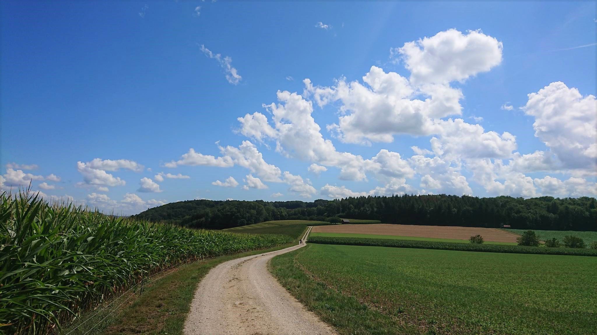
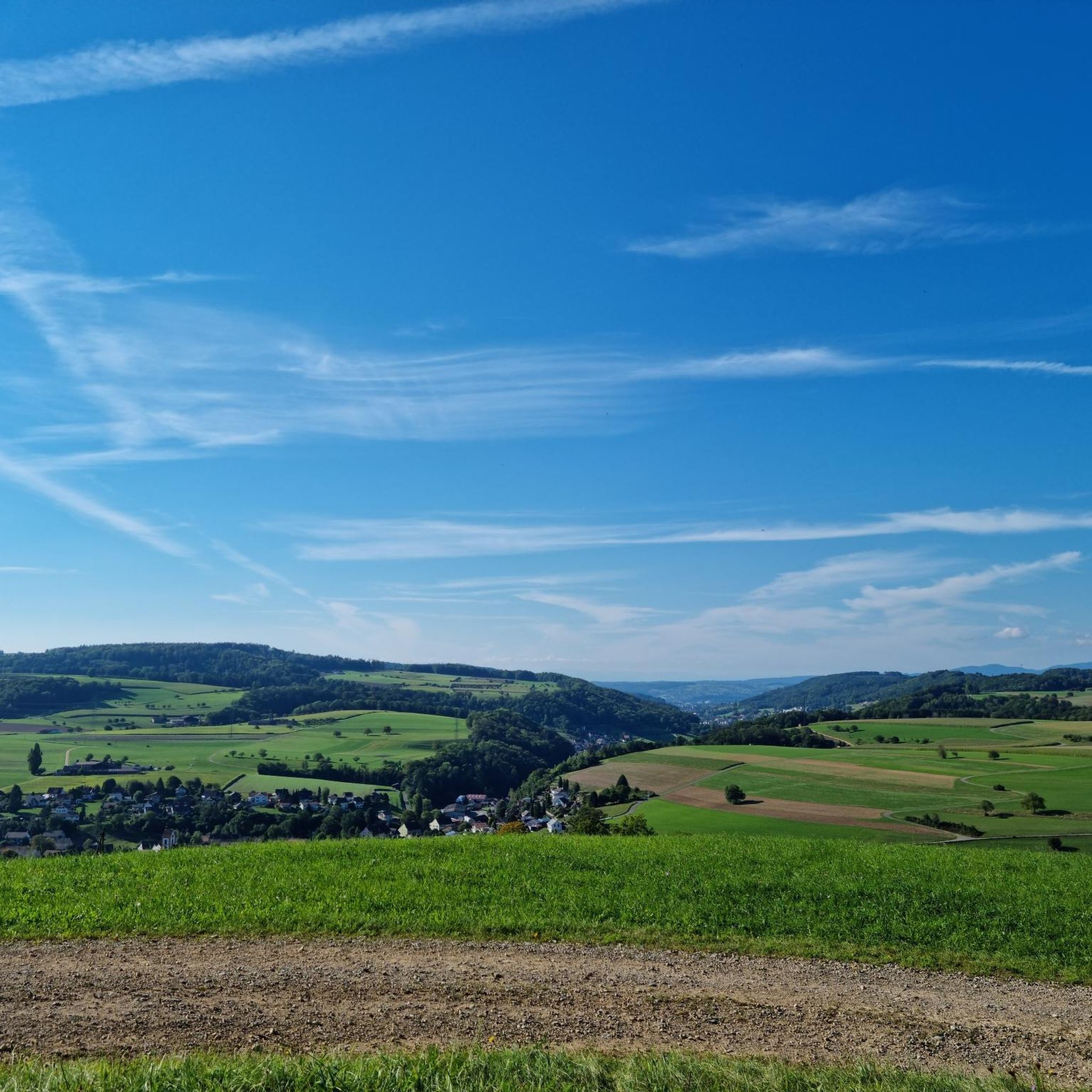
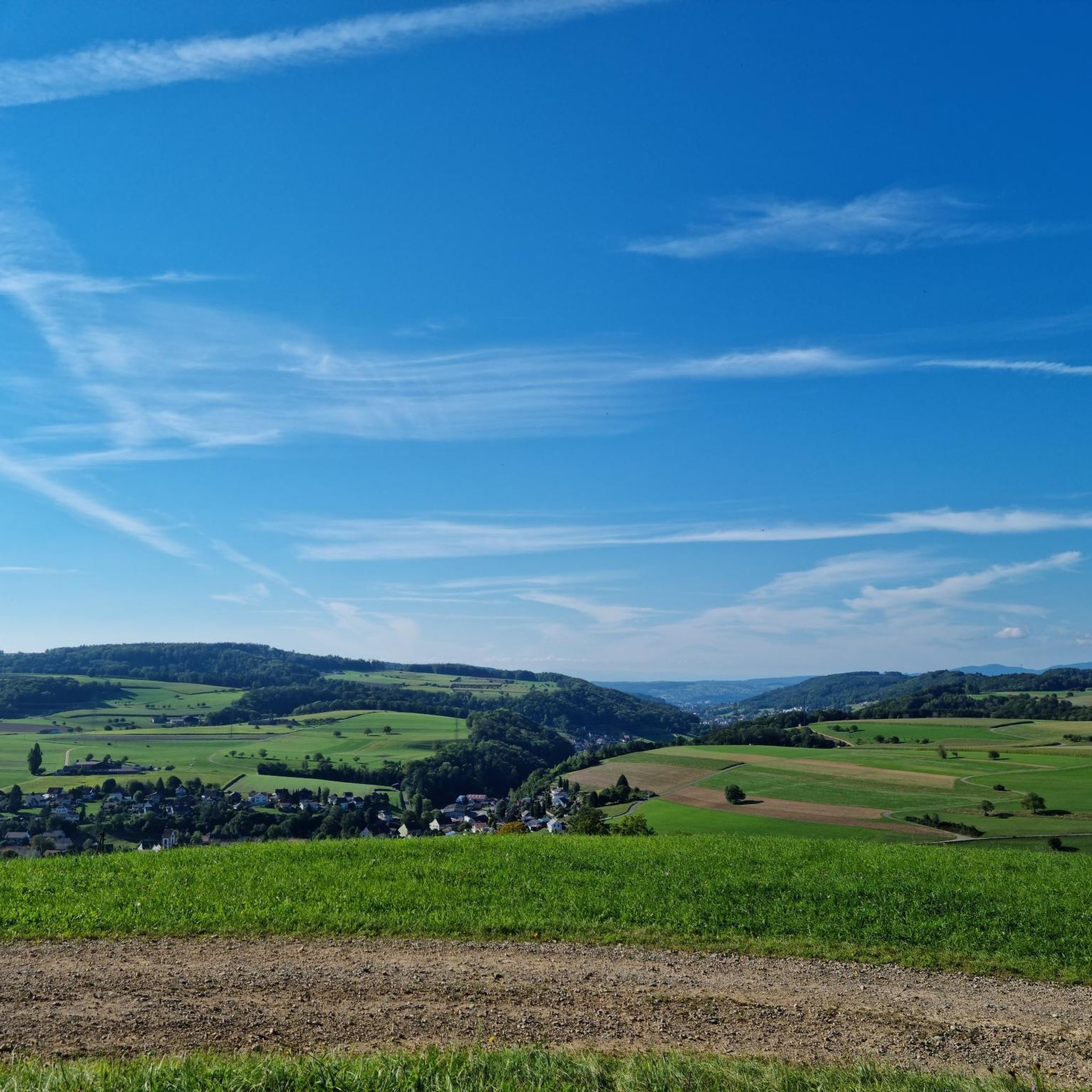
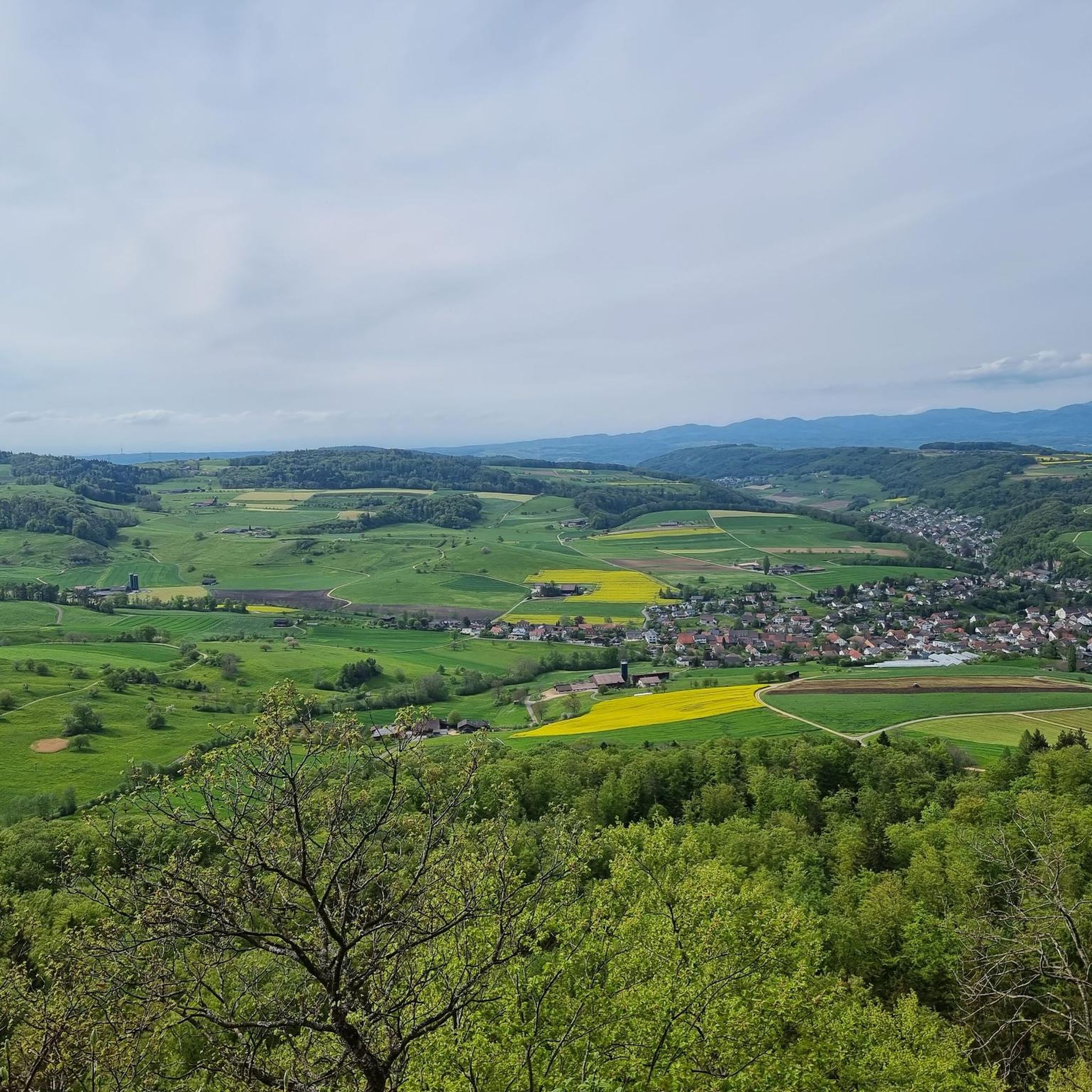
Other adventures around Wegenstetten

Tips from the Community

The ruins of Alt-Thierstein Castle are situated on a wooded ridge in the Laufental valley, near the border with the canton of Basel-Landschaft. This medieval castle was likely built in the 12th century by the Counts of Thierstein and served to control important trade routes. Today, remnants of the walls, the keep, and sections of the curtain wall are still visible. The site offers a beautiful view over the Laufental valley. The ruins are freely accessible and a popular destination for hikers and history enthusiasts.
10
0


Wonderful view in a very beautiful location. There are tables and buckets for a picnic. It has a special atmosphere if you go along with it. The board with explanations of the history is very clearly written.
4
0

Because it's a really nice place. With a sunbed, fire pit and a great view. It's really special.
0
0

You would definitely like to be at home here 😉
1
0

Simply beautiful here! If there is fog east of the Benken, it is most likely sunny here....
0
0

Wonderful track through the forest on the Tiersteinberg suddenly opens out into a clearing with a bench beneath a cross. Some beautiful views across the rolling hills and fields through the branches.
1
0
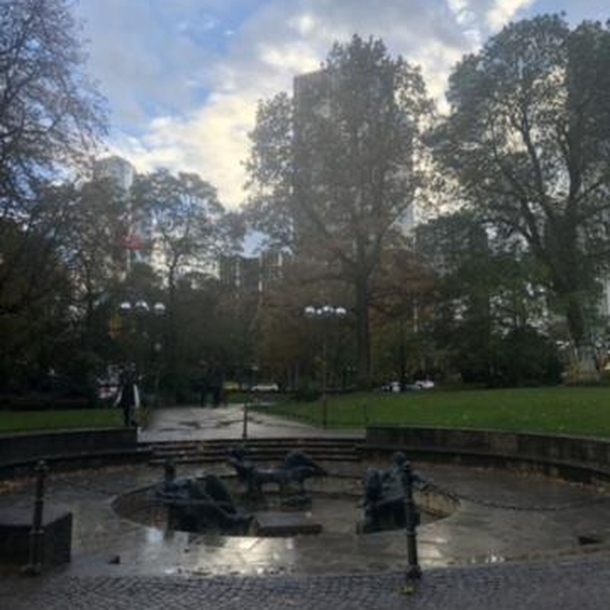
Peaceful town square with a water feature, overlooked by the church tower.
1
0
Frequently Asked Questions
How many running routes are available in the Wegenstetten area?
There are over 300 running routes around Wegenstetten, offering a wide variety of options for different preferences and fitness levels. These include 25 easy routes, 219 moderate routes, and 68 difficult routes.
Are there running routes suitable for all skill levels in Wegenstetten?
Yes, Wegenstetten offers a diverse network of running paths catering to various abilities. You can find easy, moderate, and difficult routes, ensuring there's something for everyone, from beginners to experienced runners. For a challenging run with significant elevation gain, consider the Alt-Tierstein Castle Ruins – Viewpoint on Tiersteinberg loop from Schupfart.
What kind of scenery can I expect on the running routes around Wegenstetten?
The running routes in Wegenstetten traverse a beautiful and varied landscape. You'll experience a harmonious blend of agricultural lands and extensive forested areas. Many paths wind through fields and dense woods, providing a dynamic and engaging environment. Elevated points also offer panoramic views.
Are there running routes with panoramic views in Wegenstetten?
Absolutely. For those seeking rewarding vistas, Wegenstetten offers access to several elevated points. Wasserflue provides breathtaking panoramic views of the Swiss Alps and the Black Forest. Similarly, the Wisenberg Observation Tower offers a 360-degree panoramic view, extending across the Swiss Alps and the Black Forest, making it an excellent destination for a longer, more strenuous run.
What interesting sights or landmarks can I discover while running in Wegenstetten?
Beyond the natural beauty, you can encounter historical sites and natural features. The Alt-Tierstein Castle Ruins – Viewpoint on Tiersteinberg loop from Schupfart leads through forested areas to historical ruins. For natural attractions, you might find trails near highlights like the Murgtalpfad Rock Tunnels and Waterfall or the Sommerau Valley, which offer unique points of interest.
Are there circular running routes available in Wegenstetten?
Yes, many of the running paths around Wegenstetten are designed as loops, providing convenient circular routes. For example, the popular Gelterkinden village square loop from Bezirk Sissach and the Schupfart Airfield loop from Schupfart are both excellent circular options.
Can I bring my dog on the running trails in Wegenstetten?
Generally, dogs are welcome on most outdoor trails in Switzerland, including those around Wegenstetten. However, it's always recommended to keep your dog on a leash, especially in agricultural areas or near wildlife, and to clean up after them. Always check local signage for any specific restrictions.
Are there family-friendly running paths in Wegenstetten?
Many of the easier and moderate routes are suitable for families, offering pleasant runs through fields and forests without excessive difficulty. The Gelterkinden village square loop from Bezirk Sissach is a moderate 4.8-mile trail that could be a good option for families looking for a pleasant outing.
What do other runners enjoy most about the trails in Wegenstetten?
The running routes in Wegenstetten are highly rated by the komoot community, with an average score of 4.5 stars from over 225 reviews. Runners often praise the diverse terrain, the blend of agricultural lands and dense forests, and the variety of options for different skill levels. The scenic beauty and well-maintained paths are frequently highlighted.
Is parking available near the running trails in Wegenstetten?
While specific parking information for every trail isn't always listed, Wegenstetten is generally well-equipped for outdoor enthusiasts. You can typically find parking facilities in or near the starting points of many popular routes, especially in villages like Schupfart or Mumpf. It's advisable to check maps or local information for specific parking areas before your run.
Can I reach the running routes in Wegenstetten by public transport?
Switzerland has an excellent public transport network. While specific stops for every trail vary, many villages and towns in the Wegenstetten region, such as Schupfart or Mumpf, are accessible by bus or train. From these points, you can often find trails within walking distance. We recommend checking local public transport schedules for the most convenient access to your chosen route.
Are there any longer, more challenging running routes in the area?
Yes, for those seeking a greater challenge, Wegenstetten offers several difficult routes with significant elevation gain. The Grotten Trail – Forest Path Towards Anwil loop from Wittnau is a difficult 11.7 km route with over 300 meters of elevation gain, providing a strenuous and rewarding experience.
Most popular routes around Wegenstetten
Most popular attractions around Wegenstetten

Get inspired with the komoot mobile app


Explore more
Browse the best Running Trails & Routes in other regions.
