The best road cycling routes around Freycenet-La-Cuche
4.7
(52)
878
riders
82
rides
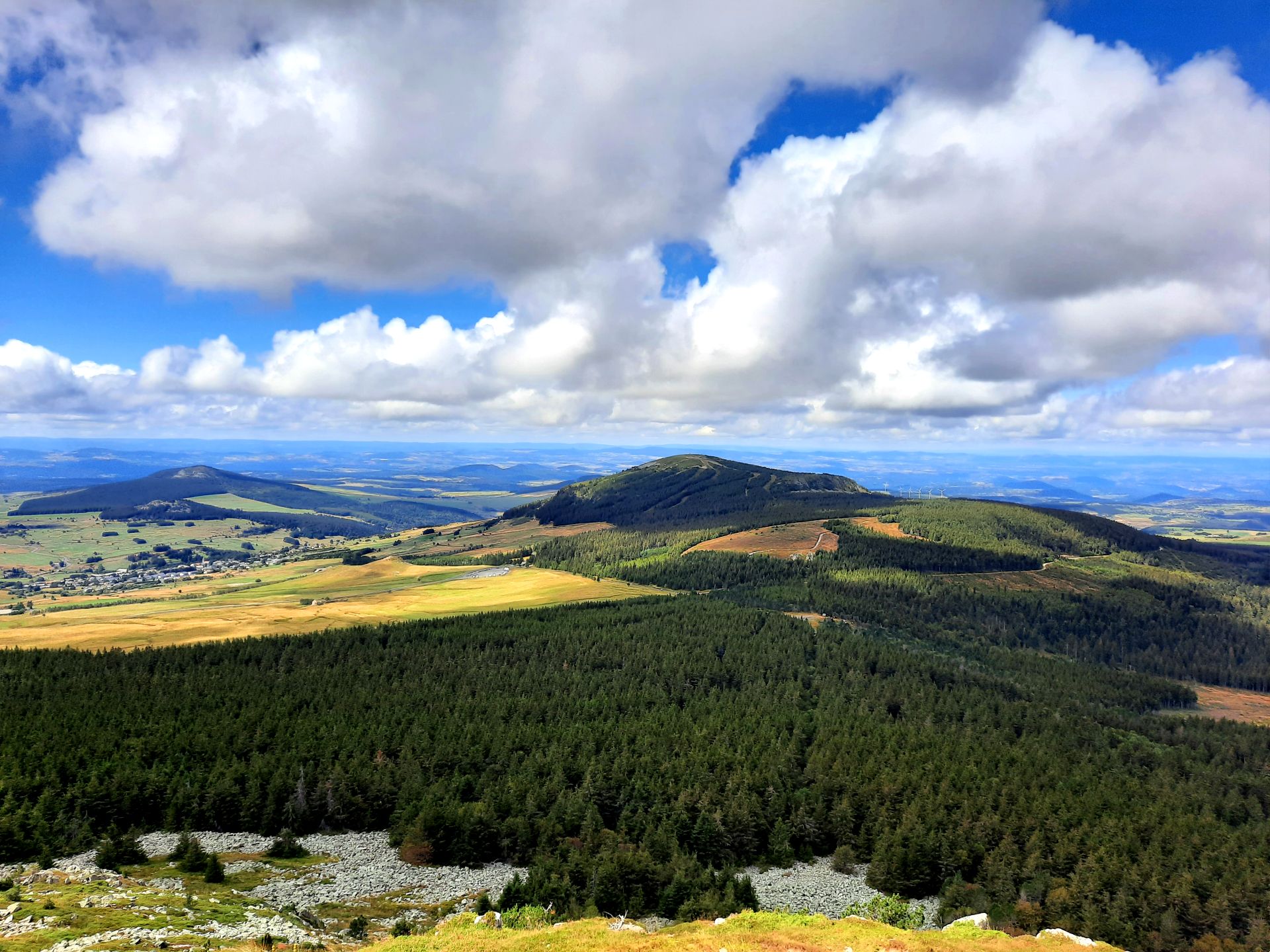
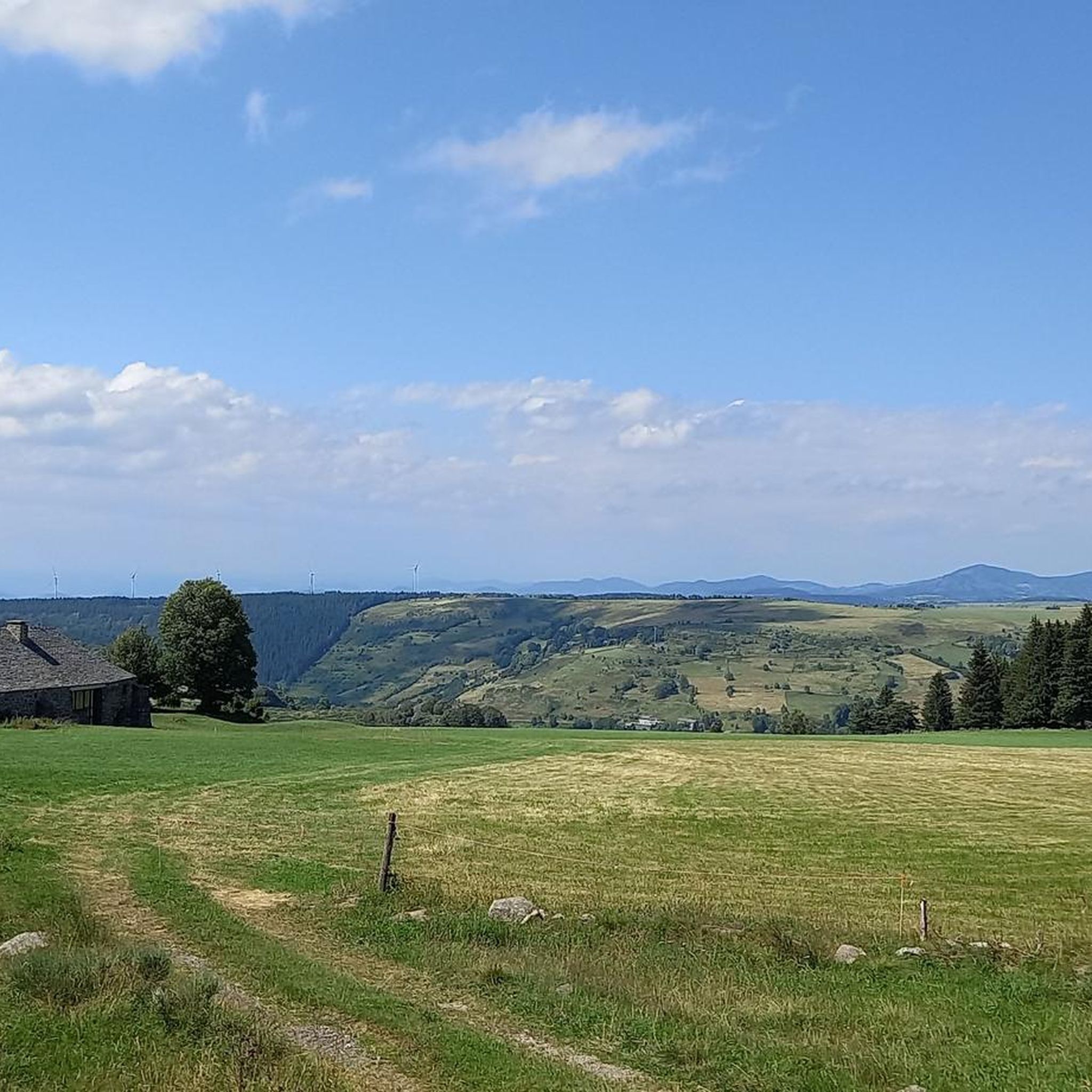
Road cycling around Freycenet-La-Cuche, situated in the Haute-Loire department, offers a diverse and challenging terrain for cyclists. The region is characterized by its volcanic origins, with an average altitude of 1200 meters, featuring rolling roads and varied landscapes. Cyclists can expect routes that traverse open countryside with clear views, as well as sections through undergrowth. This area provides a compelling destination for those seeking road cycling routes with significant elevation changes and scenic backdrops.
Best road cycling routes around Freycenet-La-Cuche
…Last updated: July 15, 2026
4.7
(3)
25
riders
52.7km
02:54
910m
920m
Hard road ride. Very good fitness required. Mostly well-paved surfaces and easy to ride.
4.0
(2)
21
riders
40.4km
02:15
890m
890m
Moderate road ride. Good fitness required. Mostly well-paved surfaces and easy to ride.

Sign up for free
5.0
(1)
19
riders
58.7km
03:15
1,280m
1,280m
Hard road ride. Very good fitness required. Mostly well-paved surfaces and easy to ride.
18
riders
97.1km
05:35
2,320m
2,320m
Hard road ride. Very good fitness required. Mostly well-paved surfaces and easy to ride.
4.0
(2)
15
riders
54.0km
02:46
960m
960m
Hard road ride. Very good fitness required. Mostly well-paved surfaces and easy to ride.
Get access to more routes and recommendations from other explorers.
Sign up for free
Already have an account?
Our route recommendations are based on thousands of hikes, rides, and runs completed by other people on komoot.
Start today with a free account
Your next adventure awaits.
Login or Signup

Other adventures around Freycenet-La-Cuche

Tips from the Community

Col du Montivernoux 1320m. Suc de Montivernoux The legend tells that there were once three very pious shepherds from the same family. One lived in Soutron, the other in Lachamp-Raphaël, and the last in Saint-Andéol-de-Fourchades. They communicated using fires lit during the night. One night, there was no fire in Soutron. The next day, the shepherd was found dead on the rock. To celebrate his exemplary life, the inhabitants of the region built a small chapel on the rock. https://lachamp-raphael.fr/histoire-et-patrimoine/suc-de-montivernoux/
0
0
Located at an altitude of 1,330 meters, Lachamp-Raphaël is the highest village in the Ardèche. Dominated by the Montivernoux peak, the village offers exceptional panoramic views of the Alps and the Ardèche mountains. https://lachamp-raphael.fr/
0
0

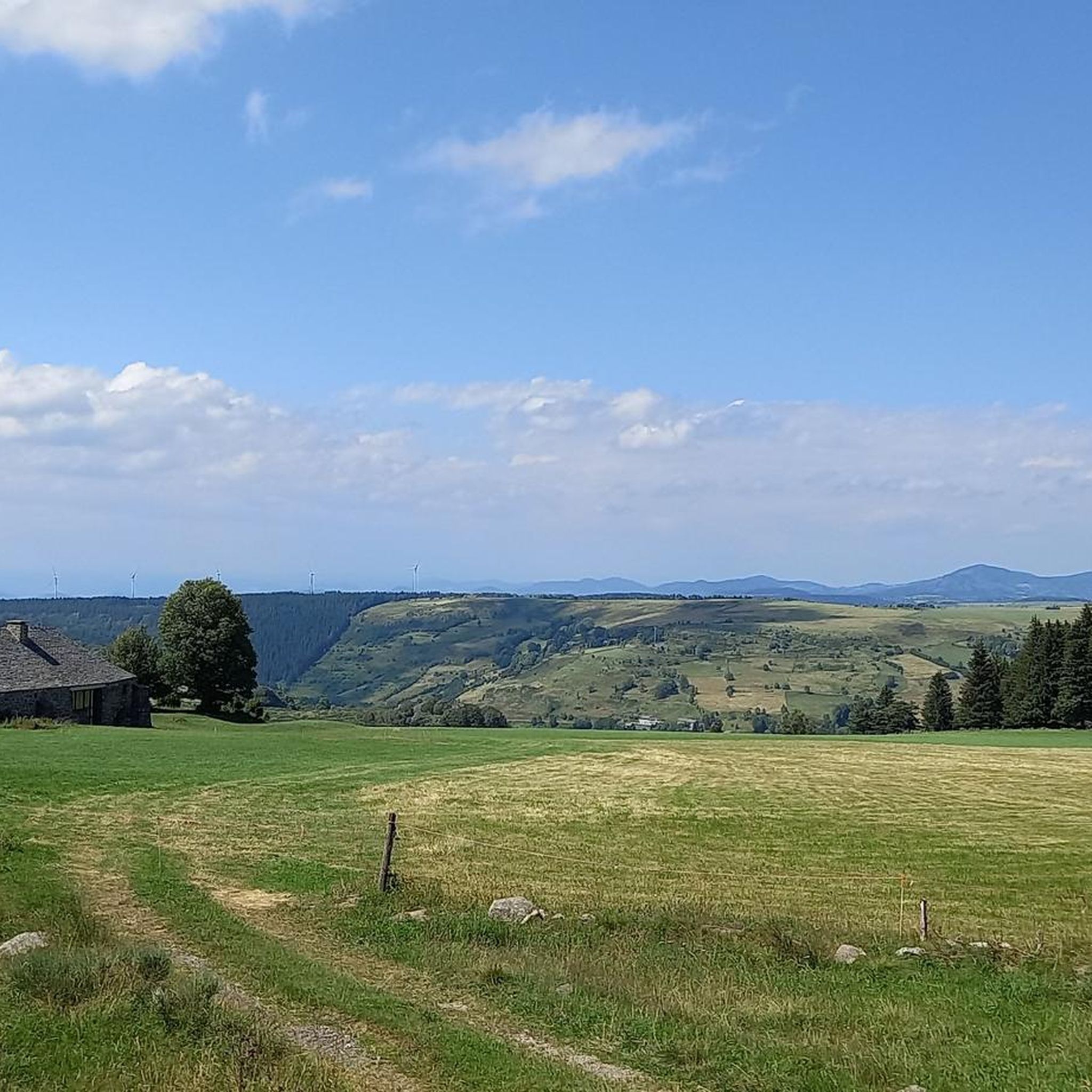
pretty flowers, pretty trees, pretty views, but what more could you ask for...oh yes, a windbreaker, because the mistral makes his grandmother cold.
0
0
If you are a short person and you venture into the fields of erigeron, say goodbye to your family and friends... it is very likely that they will never see you again.
0
0
If you are short, do not venture into the fields of erigeron, it is a one-way trip.
0
0
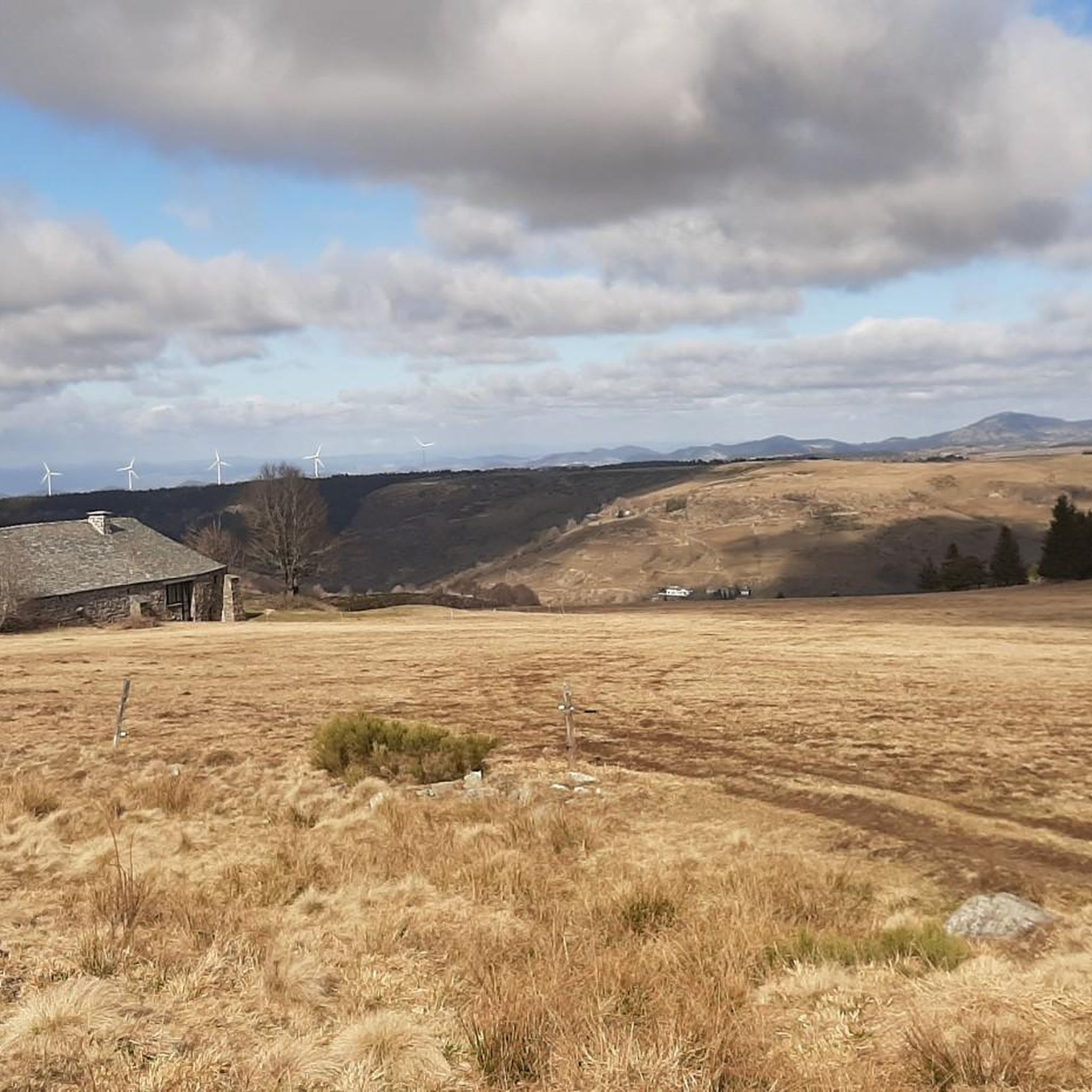
The cross is a bit ugly but it is not for it that we come to frolic in these green lands but rather for this landscape that would make a Caribou pale.
0
0
landscape that would make a caribou pale
0
0
Frequently Asked Questions
How many road cycling routes are available around Freycenet-La-Cuche?
There are nearly 100 road cycling routes around Freycenet-La-Cuche, offering a wide range of options for cyclists. These routes are highly rated by the komoot community, with an average score of 4.5 stars.
What kind of terrain can I expect when road cycling in Freycenet-La-Cuche?
The region is characterized by its volcanic origins and an average altitude of 1200 meters, offering diverse and challenging terrain. You can expect 'rolling roads' that traverse open countryside with clear views, as well as sections through beautiful undergrowth. The landscape features significant elevation changes, making for engaging rides.
What are the difficulty levels of road cycling routes in Freycenet-La-Cuche?
Road cycling routes in Freycenet-La-Cuche cater to various skill levels. Approximately half of the routes are classified as moderate, while the other half are considered difficult, featuring significant elevation gains and longer distances. There are no easy routes listed, indicating a focus on more challenging rides.
Are there any scenic viewpoints or natural features to see along the road cycling routes?
Absolutely! The volcanic landscape offers numerous scenic spots. You can cycle past the stunning Lac d’Issarlès, or ascend to mountain passes like the Boutières Cross Pass and Col de la Croix Peccata, which offer panoramic views. Iconic volcanic peaks such as Mont Mézenc and Mount Gerbier de Jonc are also prominent features in the area.
What cultural or historical landmarks can I explore while road cycling in the region?
Beyond the natural beauty, the region boasts charming villages and historical sites. You might pass through or near villages like Arlempdes and Pradelles, both recognized as 'Most Beautiful Villages' in France. The area also has a rich heritage, including a 17th-century fortified house in Freycenet-La-Cuche itself, and the nearby Grotte de Longetree, an archaeological site with evidence of human habitation for 15,000 years.
Are there options for long-distance road cycling routes in Freycenet-La-Cuche?
Yes, there are several long-distance options for experienced cyclists. For instance, the Lachamp-Raphaël – Col du Gerbier de Jonc loop from Le Béage covers 92.6 km, and the Col du Gerbier de Jonc – Col de la Clède (1,385 m) loop from Le Béage extends to 97.1 km, both offering significant challenges and rewarding scenery.
Are there any circular road cycling routes available?
Many of the road cycling routes in Freycenet-La-Cuche are designed as loops, allowing you to start and finish in the same location. Examples include the popular Lake Issarlès – Water / Bench loop from Les Estables and the Col de la Croix de Boutières – Col de la Clède (1,385 m) loop from Les Estables.
What is a popular challenging road cycling route in the area?
A popular and challenging route is the Lake Issarlès – Water / Bench loop from Les Estables. This difficult 52.6 km trail features significant elevation gain around Lake Issarlès and typically takes nearly 3 hours to complete.
Are there any moderate road cycling routes for those looking for a less intense ride?
Yes, for a moderate challenge, consider the Col de la Croix de Boutières – Col de la Clède (1,385 m) loop from Les Estables. This 40.4 km path includes ascents to notable cols, offering panoramic views without the extreme demands of the most difficult routes.
What is the best time of year for road cycling in Freycenet-La-Cuche?
Given the average altitude of 1200 meters, the warmer months, typically from late spring through early autumn, are ideal for road cycling. During this period, you can expect more favorable weather conditions and clear roads. Winters transform the area into a snow sports destination, making road cycling less feasible.
Are there any routes that pass by unique geological sites?
Yes, the region is rich in geological significance. The archaeological, geological, and volcanological site of 'Longetree' was recognized as a UNESCO World Geo-site in 2020. While specific routes passing directly through it aren't detailed, the volcanic origins of the entire area mean many routes offer views of 'sucs' (volcanic plugs) and other unique formations.
What can I expect from the route that includes the Viaduc de la Recoumène?
The Viaduc de la Recoumène loop from Les Estables is a difficult 69.5 km route. It offers a challenging ride with over 1000 meters of elevation gain, taking you through varied landscapes and past this impressive viaduct, providing a memorable cycling experience.
Most popular attractions around Freycenet-La-Cuche

Get inspired with the komoot mobile app


Explore more
Browse the best Road cycling routes in other regions.
