The best MTB trails around Saint-Victor-Malescours
4.4
(405)
1,943
riders
277
rides
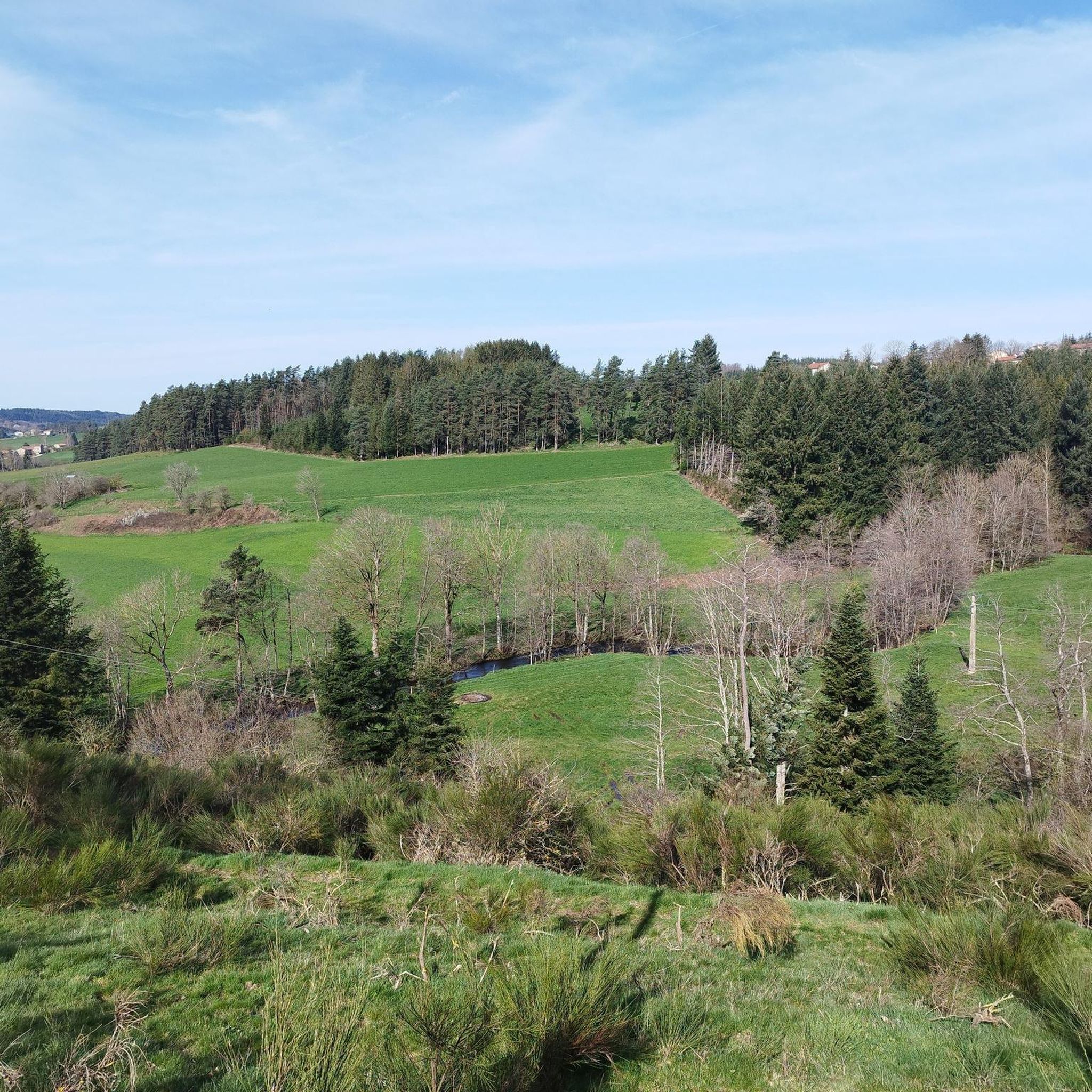
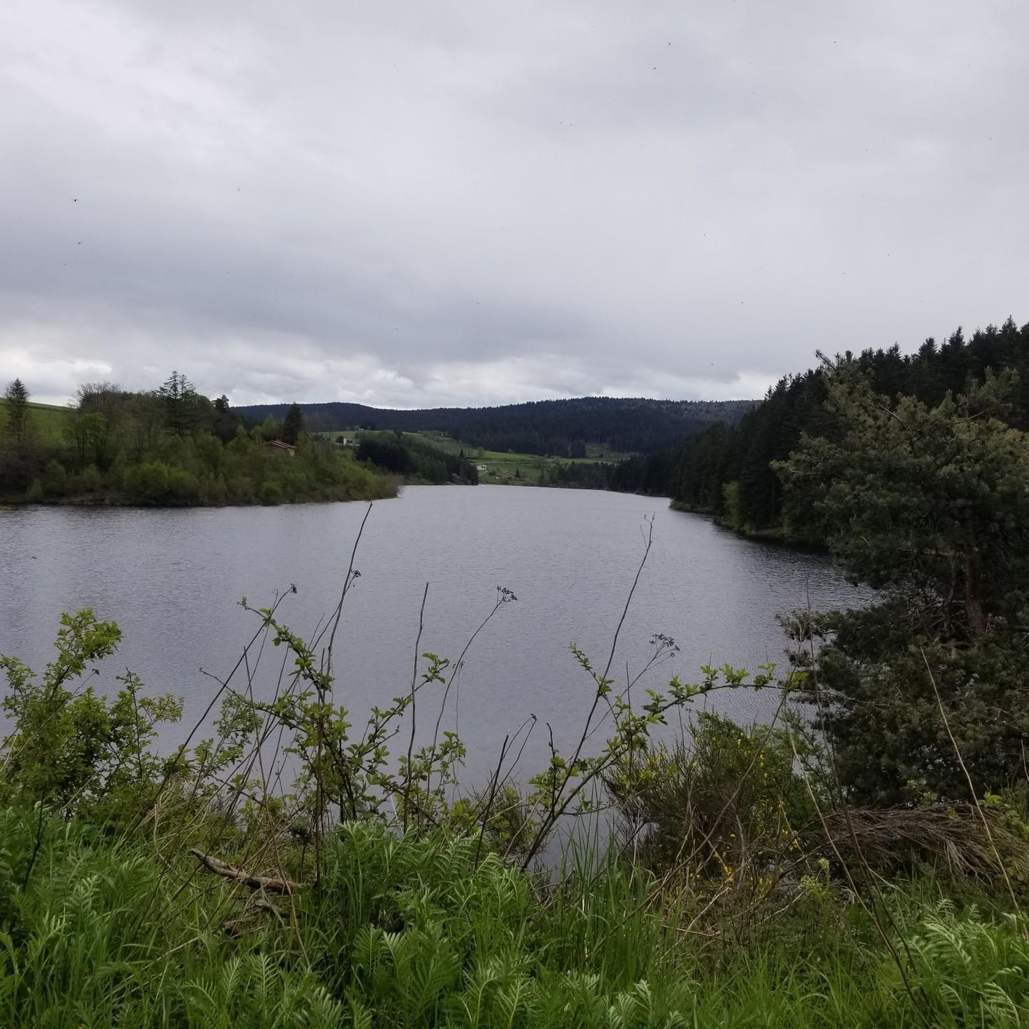
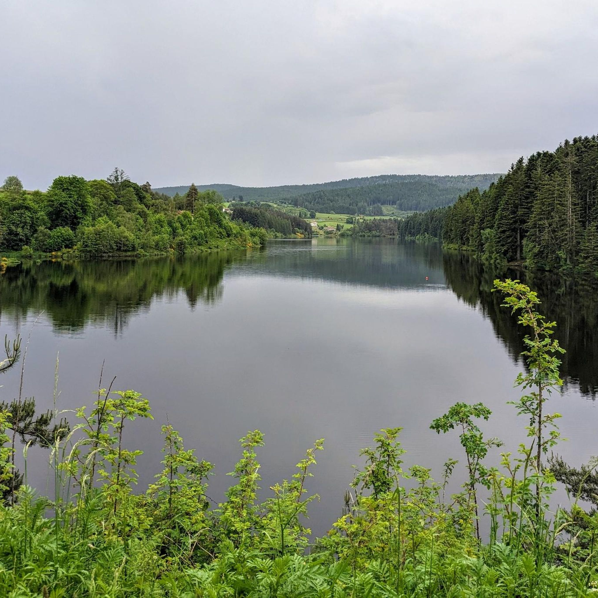
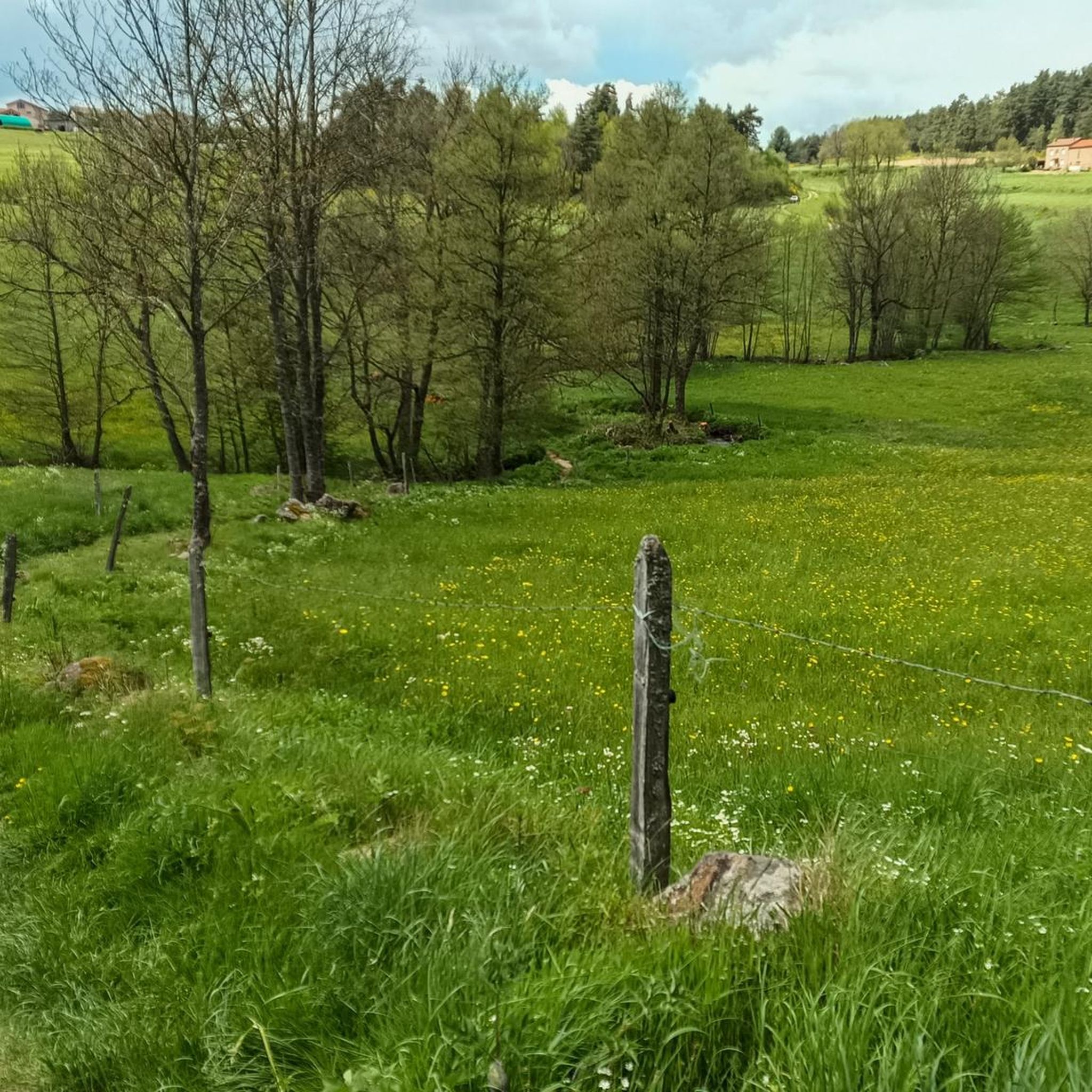
Mountain bike trails Saint-Victor-Malescours are set within the Haute-Loire department of France, characterized by a varied and hilly topography. The commune sits at an average altitude of 880 meters, with elevations ranging from 753m to 931m, providing both challenging climbs and descents. The landscape features numerous woods, meadows, and the scenic Semène river, which carves picturesque valleys and gorges, creating diverse routes for mountain bikers. This natural environment offers a mix of terrain, from rolling paths to more technically demanding…
Last updated: October 16, 2026
5.0
(3)
36
riders
49.7km
04:36
1,110m
1,110m
Hard mountain bike ride. Very good fitness required. Suitable for all skill levels.
4.8
(6)
20
riders
36.9km
03:26
810m
810m
Moderate mountain bike ride. Good fitness required. Suitable for all skill levels.

4.3
(3)
19
riders
49.3km
04:52
1,200m
1,200m
Hard mountain bike ride. Very good fitness required. Advanced riding skills necessary.
4.7
(3)
10
riders
21.9km
02:02
500m
500m
Moderate mountain bike ride. Good fitness required. Advanced riding skills necessary.
5.0
(1)
14
riders
46.9km
04:40
1,220m
1,220m
Hard mountain bike ride. Very good fitness required. Suitable for all skill levels.
Get access to more routes and recommendations from other explorers.
Already have an account?
Our route recommendations are based on thousands of hikes, rides, and runs completed by other people on komoot.
Start today with a free account
Your next adventure awaits.

Tips from the Community

The pretty medieval village of Saint-Didier-en-Velay has a beautiful market hall (or Grenette) dating from 1880, a 14th century fortified house and more generally beautiful stones which are worth a little detour.
0
0
Located at the foot of Mont Felletin, this chapel of a former Cistercian women's abbey has preserved the isolation characteristic of the sites of this austere order. A small medieval-inspired garden adorns the site. Away from the urban hustle and bustle and noise, it is a preserved place that awaits visitors.
1
0
Le Riotord is a town full of assets located in the far east of Haute-Loire. It is at the crossroads of many well-marked and maintained hiking trails such as the GR 7 and the path to Saint-Jacques-de-Compostelle but also cycling routes such as the Via Fluvia and the Grande Traversée à VTT de la Haute-Loire. The town has a beautiful 11th century church or a pond ideal for a little nap by the water.
0
0

Col de la Charousse, beautiful quiet road in the conifers.
0
0

Do not miss the waterfall at the foot of the dam to take a cool break
0
0

Departures with friends and beautiful walks for fans.
0
0

Between Loire and Haute Loire, at 1030 m, the Tracol resembles an Alpine pass with its terminal bends. to do on weekends to avoid overtaking by trucks
1
0
Nice pass. Wooden bridge, old stone walls covered with moss. Be careful, the north access is steep for a few meters.
0
0
Frequently Asked Questions
How many mountain bike trails are available around Saint-Victor-Malescours?
There are over 260 mountain bike trails in the Saint-Victor-Malescours region. This includes 23 easy routes, nearly 200 moderate routes, and 41 difficult routes, offering options for all skill levels.
What kind of terrain can I expect on mountain bike trails in Saint-Victor-Malescours?
The terrain around Saint-Victor-Malescours is characterized by its varied and hilly topography, with elevations ranging from 753m to 931m. You'll encounter numerous woods, meadows, and scenic sections along the Semène river, which carves picturesque valleys and gorges. This mix provides both challenging climbs and exhilarating descents, from rolling paths to more technically demanding sections.
Are there any family-friendly mountain bike trails in the area?
Yes, Saint-Victor-Malescours offers 23 easy mountain bike routes suitable for families or those looking for a less strenuous ride. These trails often feature low technical difficulty and minimal elevation changes, allowing for an accessible experience amidst the natural beauty of the region.
What do other mountain bikers say about the trails in Saint-Victor-Malescours?
The mountain bike trails in Saint-Victor-Malescours are highly rated by the komoot community, with an average score of 4.4 stars from over 290 reviews. More than 1,600 mountain bikers have used komoot to explore the varied terrain, often praising the diverse landscapes and well-maintained paths.
Are there any mountain bike trails that offer scenic viewpoints or natural attractions?
Many trails in the region pass through beautiful natural settings. For instance, the area features the scenic Semène river and its gorges. You might also encounter highlights like the Crêt de Chaussître or the Col du Tracol, offering expansive views. The Cotatay Dam Waterfall – Jonzieux Church loop from Jonzieux is a difficult route that offers scenic backdrops along river valleys.
Can I find mountain bike routes that are circular loops?
Yes, many mountain bike routes in Saint-Victor-Malescours are designed as circular loops. An example is the Le Prège loop from Saint-Victor-Malescours, a moderate 21.9 km trail that takes about 2 hours to complete, leading through extensive woods and hilly landscapes.
Are there any trails that pass by waterfalls?
Yes, the region offers trails that feature waterfalls. The Cotatay Dam Waterfall – Jonzieux Church loop from Jonzieux is a difficult 49.3 km route that specifically highlights a waterfall. You can also find the Waterfall in Parc Naturel Régional du Pilat as a natural monument in the wider area.
What are some longer, more challenging mountain bike routes in the area?
For experienced riders seeking a challenge, routes like the Top Malz virgin Cartaire loop from Saint-Romain-Lachalm offer a difficult 49.7 km ride with significant elevation changes, typically taking over 4.5 hours. Another demanding option is the Riotord – Sarcenas Viaduct loop from Saint-Romain-Lachalm, which covers 47.0 km with substantial climbs.
Are there any historical or cultural landmarks accessible by mountain bike?
While the focus is on natural beauty, some routes may pass through or near settlements like Riotord. The presence of historic mills along the Semène river also suggests a rich local history that can be explored. Additionally, the Cotatay Dam is a notable man-made monument in the vicinity.
What is the best time of year for mountain biking in Saint-Victor-Malescours?
The varied topography and extensive woods make Saint-Victor-Malescours enjoyable for mountain biking across multiple seasons. Spring and autumn offer pleasant temperatures and vibrant scenery. While winter conditions can vary, the region's natural environment supports year-round outdoor activities, though some trails might be affected by snow or wet conditions.
Are there any trails that follow old railway lines?
Yes, for a unique riding experience, you can find an Old Railway Converted into Greenway in the area. These paths typically offer smoother, less technical riding surfaces, making them suitable for a relaxed ride or for those looking for a different kind of trail.
What are the typical distances and durations for mountain bike trails in this region?
Trail distances vary significantly, from shorter easy routes to challenging long-distance loops. For example, a moderate route like the Jonzieux Church – Top Malz virgin Cartaire loop from Jonzieux is about 27.0 km and takes around 2 hours 20 minutes. More difficult trails can extend to nearly 50 km, requiring over 4.5 hours to complete.
Most popular routes around Saint-Victor-Malescours
Most popular attractions around Saint-Victor-Malescours

Get inspired with the komoot mobile app


Explore more
Browse the best MTB trails in other regions.
