The best running trails around Unterkulm
4.6
(389)
14,615
runners
458
runs
Jogging routes around Unterkulm offer a varied environment for runners, characterized by diverse natural features and accessible trails. The region provides a mix of predominantly paved surfaces and paths through forests, ensuring a smooth run and shade on warmer days. Many routes include gentle ups and downs, adding variety to the experience without being overly technical. This landscape offers options for various fitness levels, from easier paths to more challenging trails with elevation changes.
Best jogging routes around Unterkulm
- The…
Last updated: June 27, 2026
4.0
(1)
21
runners
9.33km
00:58
30m
30m
Moderate run. Good fitness required. Mostly paved surfaces. Suitable for all skill levels.
5.0
(2)
13
runners
9.56km
01:03
180m
180m
Moderate run. Good fitness required. Mostly paved surfaces. Suitable for all skill levels.

Sign up for free
17
runners
8.87km
00:55
20m
20m
Moderate run. Good fitness required. Mostly paved surfaces. Suitable for all skill levels.
10
runners
10.9km
01:13
230m
230m
Moderate run. Good fitness required. Mostly paved surfaces. Suitable for all skill levels.
12
runners
6.13km
00:38
40m
40m
Moderate run. Good fitness required. Mostly paved surfaces. Suitable for all skill levels.
Get access to more routes and recommendations from other explorers.
Sign up for free
Already have an account?
Our route recommendations are based on thousands of hikes, rides, and runs completed by other people on komoot.
Start today with a free account
Your next adventure awaits.
Login or Signup
Tips from the Community


A wonderfully preserved old granary stands inconspicuously on the street. It was built around 1540/50. Today it is a listed building because it is the oldest granary of its kind still in existence in the whole of Switzerland.
3
0

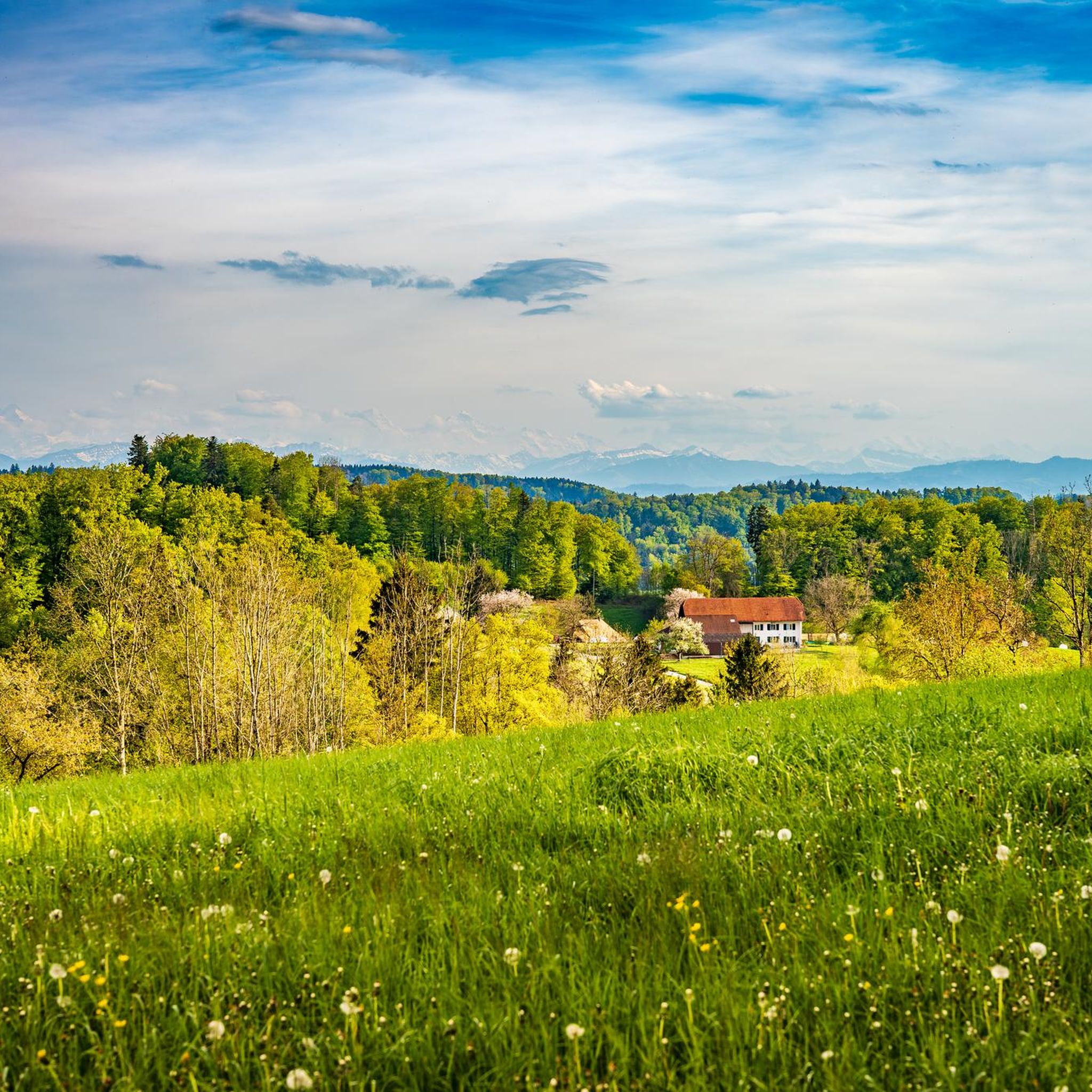
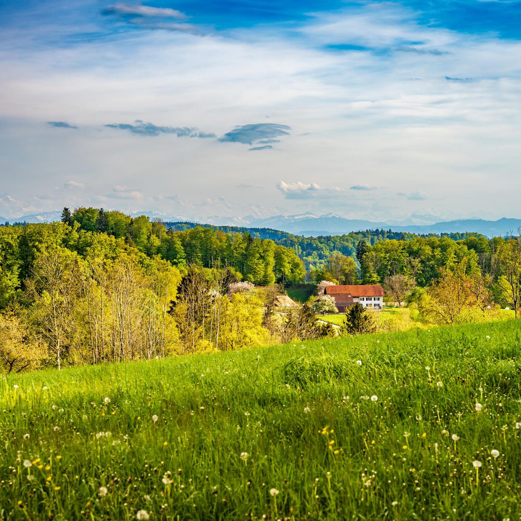
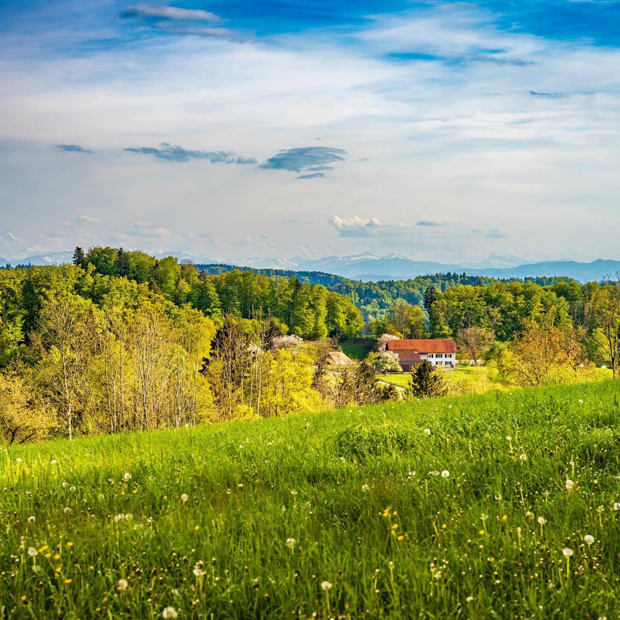
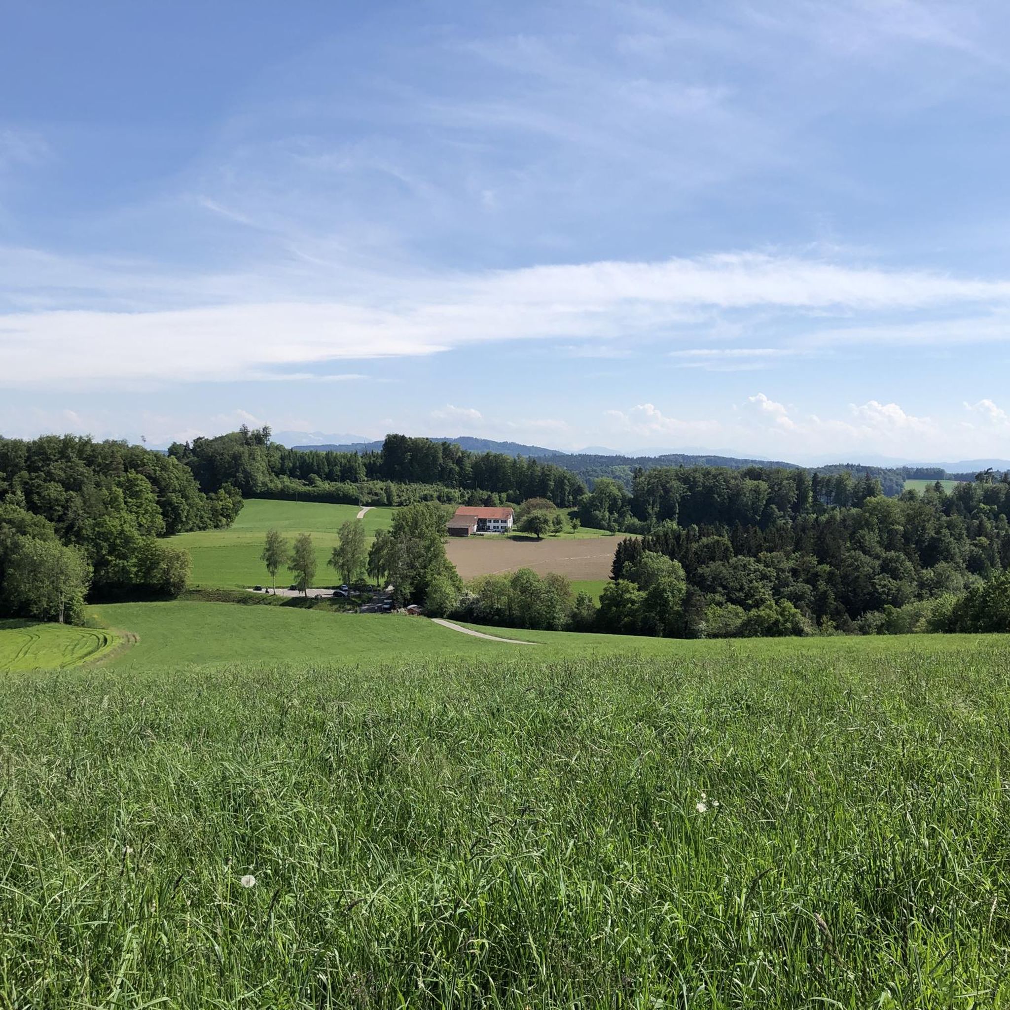
The view from above over Gränchen, not bad, it's worth stopping to pause.
1
0
The dirt road seems endless.
1
2

Beautiful view, worth taking a short break and enjoying.
1
0

The newly signposted forest nature trail also leads through here and offers interesting information about the local flora with many boards.
1
0
Frequently Asked Questions
How many running routes are available around Unterkulm?
There are over 460 diverse running and jogging routes available around Unterkulm, catering to a wide range of preferences and fitness levels. These include paths through forests, along paved surfaces, and trails with gentle elevation changes.
What kind of terrain can I expect on the jogging trails in Unterkulm?
The region around Unterkulm offers varied terrain for running. You can expect a mix of predominantly paved surfaces and paths winding through forests, providing shade on warmer days. Many routes feature gentle ups and downs, adding variety without being overly technical.
Are there running routes suitable for beginners or those looking for an easy jog?
Yes, Unterkulm offers a selection of easier paths perfect for beginners or those seeking a relaxed run. There are 13 routes specifically categorized as easy, ensuring a comfortable experience. One such option is the Old Granary loop from Oberkulm, a moderate 6.1 km trail that is relatively flat.
Are there more challenging running trails for experienced runners in the area?
Absolutely. For experienced runners looking for a greater challenge, Unterkulm features 62 routes categorized as difficult, often with more significant elevation changes. A good example of a moderate route with some elevation gain is the Running loop from Schöftland, which covers 10.9 km with over 220 meters of ascent.
What do other runners say about the trails in Unterkulm?
The running trails in Unterkulm are highly regarded by the komoot community, boasting an average rating of 4.6 out of 5 stars from over 340 reviews. More than 14,000 runners have explored the varied terrain, often praising the scenic beauty and well-maintained paths.
Are there any family-friendly running paths in Unterkulm?
While specific 'family-friendly' designations aren't always explicit, many of the easier and moderate routes with predominantly paved or well-maintained forest paths would be suitable for families. Look for routes with minimal elevation gain and shorter distances, which are often found among the 13 easy routes available.
Can I bring my dog on the running trails around Unterkulm?
Generally, dogs are welcome on most public trails in Switzerland, including those around Unterkulm. However, it's always advisable to keep your dog on a leash, especially in nature reserves, agricultural areas, or where wildlife might be present. Always carry waste bags and ensure your dog is well-behaved around other trail users.
Are there circular running routes available?
Yes, many of the running routes around Unterkulm are designed as circular loops, allowing you to start and finish at the same point. Popular examples include the Running loop from Muhen Nord and the View of Gränichen – Fuden Trail loop from Gränichen, both offering convenient circular experiences.
What natural features or landmarks can I see while running in Unterkulm?
The region offers several scenic highlights. You can explore trails near Fünfweiher or the broader area around Lake Hallwil. For those interested in geological features, the Liebeggerwald Sandstone Caves are also nearby. The View of Gränichen – Fuden Trail loop from Gränichen specifically offers scenic views.
Are there any historical castles or cultural sites near the running routes?
Yes, the area is rich in history. Just a short distance from Unterkulm, you can find the beautiful Hallwyl Castle, a moated castle set within a nature reserve. Other notable castles in the wider region include Lenzburg Castle and Auenstein Castle, offering a blend of cultural heritage and natural beauty.
Is there parking available near the running trails?
While specific parking details vary by route, many trailheads in the Unterkulm region, especially those starting from villages like Muhen or Gränichen, typically offer public parking options. It's recommended to check the individual route details on komoot for precise parking information before you go.
Can I access the running routes using public transport?
Switzerland has an excellent public transport network. Many running routes around Unterkulm are accessible via local bus or train services, particularly those starting from larger settlements or train stations. For example, routes originating from Muhen or Gränichen are often well-connected. Check local transport schedules to plan your journey to the trailhead.
Most popular attractions around Unterkulm

Get inspired with the komoot mobile app


Explore more
Browse the best Running Trails & Routes in other regions.
