
The best walks and hikes around Ciry-Le-Noble
4.7
(91)
454
hikers
60
hikes
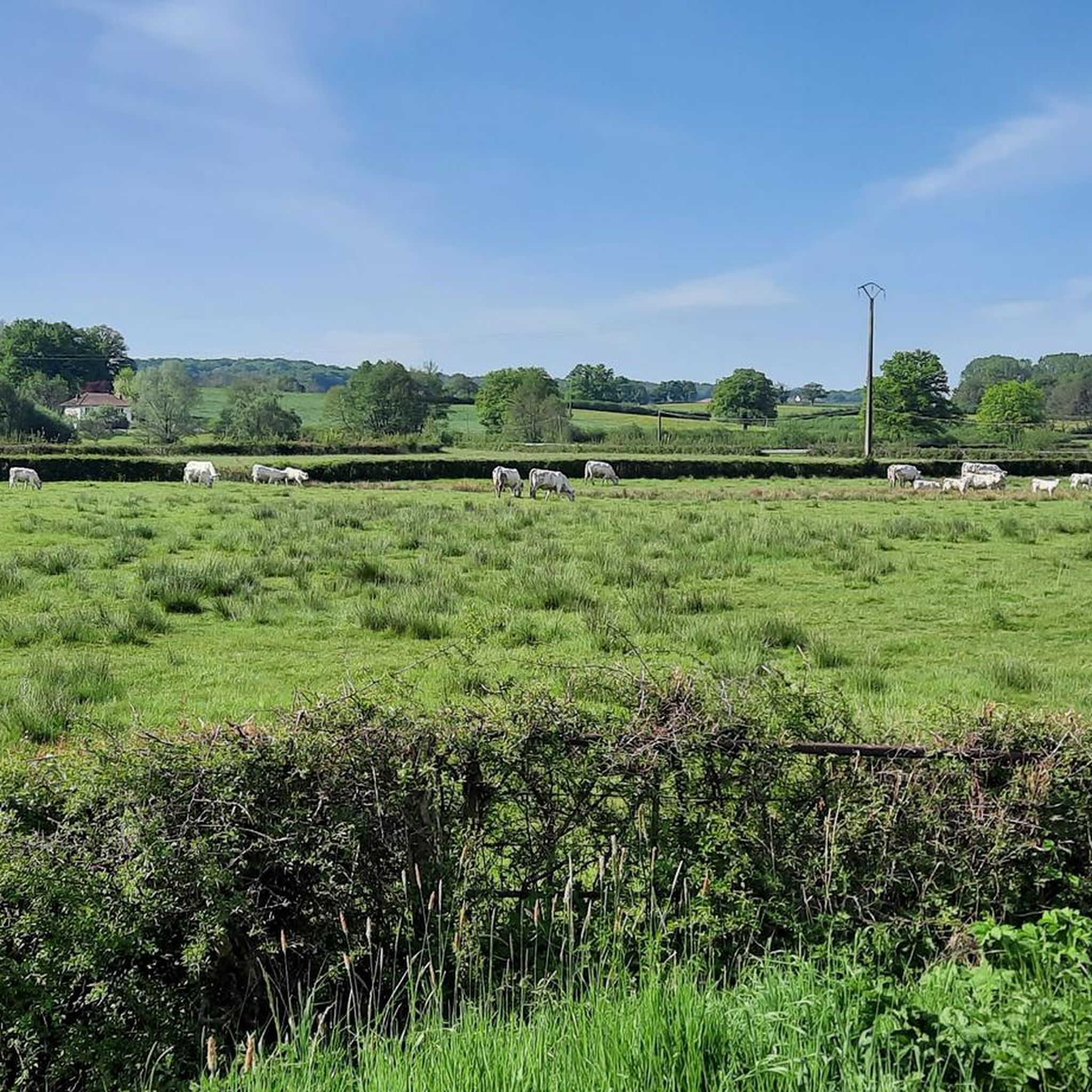
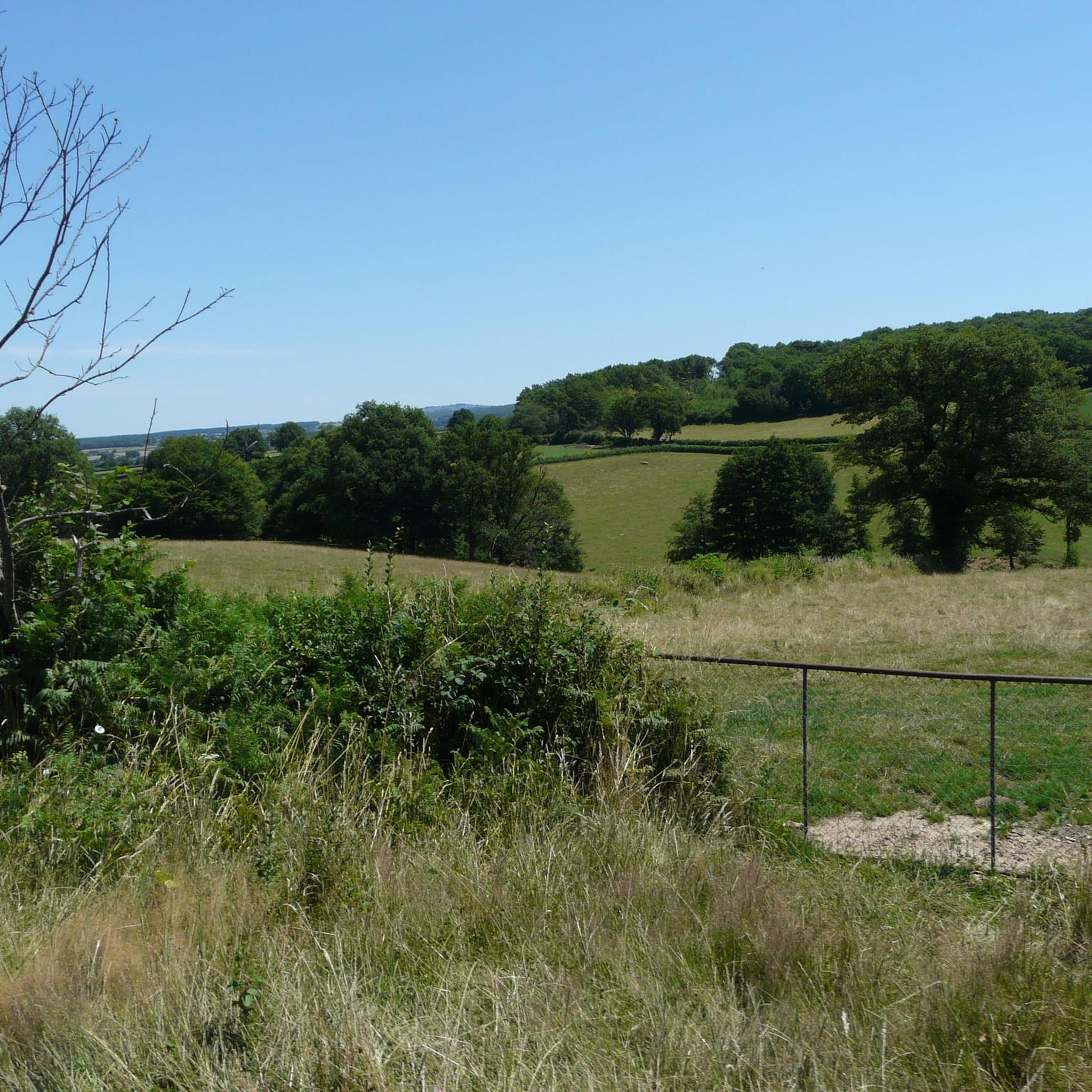
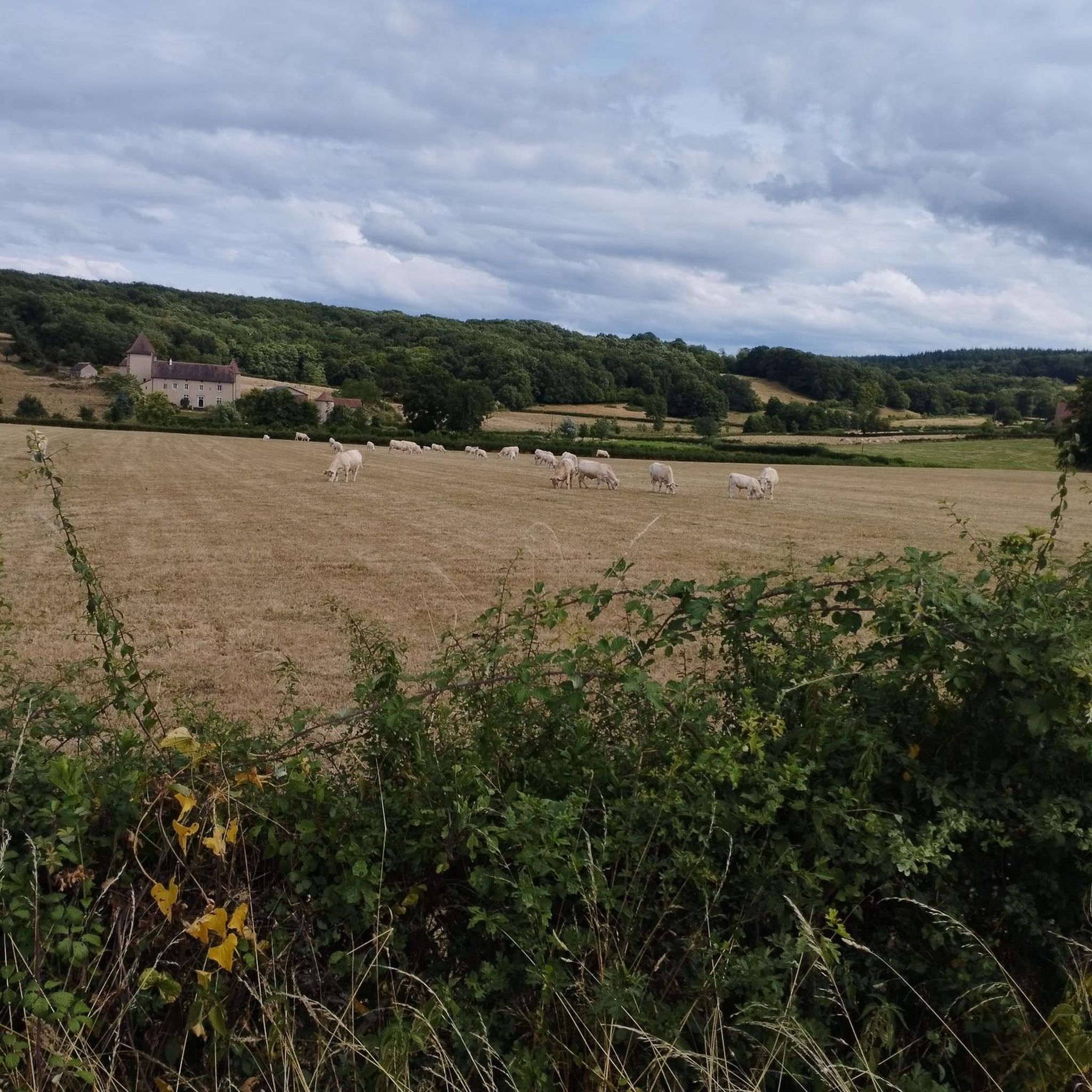
Hiking around Ciry-Le-Noble offers access to a landscape characterized by gentle hills, agricultural fields, and areas of woodland. The region features a network of trails that often follow quiet country roads and paths through open terrain. Water bodies, such as the Plan d'eau des Fouthiaux, are notable features, providing focal points for many routes. The elevation changes are generally modest, making many trails accessible for various fitness levels.
Best hiking trails around Ciry-Le-Noble
- The most popular hiking route is Découverte…
Last updated: June 22, 2026
4.8
(5)
28
hikers
2.89km
00:47
40m
40m
Easy hike. Great for any fitness level. Easily-accessible paths. Suitable for all skill levels.
5.0
(3)
15
hikers
9.96km
02:37
80m
80m
Moderate hike. Good fitness required. Easily-accessible paths. Suitable for all skill levels.

Sign up for free
5.0
(2)
13
hikers
9.35km
02:28
90m
90m
Moderate hike. Good fitness required. Easily-accessible paths. Suitable for all skill levels.
11
hikers
9.01km
02:22
80m
80m
Moderate hike. Good fitness required. Easily-accessible paths. Suitable for all skill levels.
10
hikers
6.90km
01:50
70m
70m
Easy hike. Great for any fitness level. Easily-accessible paths. Suitable for all skill levels.
Get access to more routes and recommendations from other explorers.
Sign up for free
Already have an account?
Our route recommendations are based on thousands of hikes, rides, and runs completed by other people on komoot.
Start today with a free account
Your next adventure awaits.
Login or Signup


Frequently Asked Questions
How many hiking trails are available in Ciry-Le-Noble?
There are over 50 hiking routes available around Ciry-Le-Noble, offering a variety of options for different skill levels and preferences. The region is known for its gentle hills and open terrain.
Are there easy hiking trails suitable for beginners in Ciry-Le-Noble?
Yes, Ciry-Le-Noble offers many easy hiking trails. Over 40 routes are classified as easy, featuring minimal elevation gain and generally smooth paths. An example is the Découverte Saint-Amédée loop from Sanvignes-les-Mines, which is a short and accessible option.
Can I find circular hiking routes around Ciry-Le-Noble?
Many of the hiking routes in Ciry-Le-Noble are circular, allowing you to start and end at the same point. The Plan d'eau des Fouthiaux loop from Dormoy and the Plan d'eau des Fouthiaux loop from Plan d'eau des Fouthiaux are popular examples that circle the local lake.
Are there family-friendly hiking options in Ciry-Le-Noble?
Given the prevalence of easy trails and modest elevation changes, many routes in Ciry-Le-Noble are suitable for families. Trails around the Plan d'eau des Fouthiaux, for instance, offer pleasant walks with scenic views that can be enjoyed by all ages.
Are dogs allowed on the hiking trails in Ciry-Le-Noble?
Generally, dogs are welcome on hiking trails in the region, especially if kept on a leash. However, it's always advisable to check local signage for any specific restrictions, particularly in nature reserves or protected areas.
What interesting places can I explore near the hiking trails?
While hiking, you can discover several points of interest. The Canal du Centre often runs alongside trails, and you might encounter historical sites like the Demarcation Line Interpretation Center. For a cultural visit, the impressive Château de Digoine is also nearby.
Are there hikes that feature water bodies?
Yes, the Plan d'eau des Fouthiaux is a prominent feature in the region, and several routes circle this water body, offering picturesque views. The Plan d'eau des Fouthiaux loop from Dormoy is a great example of a hike that highlights this area.
What do hikers generally say about the trails in Ciry-Le-Noble?
The trails in Ciry-Le-Noble are highly regarded by the komoot community, with an average rating of 4.8 stars from over 70 reviews. Hikers often praise the tranquil woodlands, open fields, and the well-maintained paths around the Plan d'eau des Fouthiaux.
What is the best time of year for hiking in Ciry-Le-Noble?
Spring and autumn are generally ideal for hiking in Ciry-Le-Noble, offering pleasant temperatures and beautiful scenery as the landscape changes. Summer can also be enjoyable, especially for routes with shade, while winter hikes are possible, though some paths might be muddy.
Is parking available at the trailheads?
Parking is generally available near popular trailheads and points of interest, especially around the Plan d'eau des Fouthiaux and in the villages. It's usually free, but always check local signs for any restrictions.
How accessible are the trails by public transport?
While some villages in the region may have limited public transport connections, many trailheads are best accessed by car. For specific routes, it's recommended to check local bus schedules or consider carpooling to reach starting points efficiently.
Can I spot wildlife while hiking in Ciry-Le-Noble?
The varied landscape of woodlands, fields, and water bodies provides habitats for local wildlife. You might spot various bird species, small mammals, and insects, especially during quieter times of the day or in less frequented areas.
Most popular routes around Ciry-Le-Noble
Most popular attractions around Ciry-Le-Noble

Get inspired with the komoot mobile app


Explore more
Browse the best Hikes in other regions.
