The best road cycling routes around Barst
4.4
(66)
1,628
riders
268
rides
Road cycling routes around Barst traverse a landscape characterized by gentle hills and river valleys, offering varied terrain for cyclists. The region features a mix of open agricultural land and sections alongside waterways, providing a scenic backdrop for rides. Elevations are generally moderate, with no peaks exceeding 200 meters, making many routes accessible. The area's physical features include the Saar river and several ponds, which define some of the key cycling paths.
Best road cycling routes around Barst
- The most…
Last updated: July 6, 2026
5.0
(2)
34
riders
46.3km
02:46
440m
440m
Moderate road ride. Good fitness required. Mostly well-paved surfaces and easy to ride.
10
riders
37.6km
01:41
260m
260m
Easy road ride. Great for any fitness level. Mostly well-paved surfaces and easy to ride.

Sign up for free
4.0
(1)
9
riders
47.0km
02:05
340m
340m
Moderate road ride. Good fitness required. Mostly well-paved surfaces and easy to ride.
6
riders
Easy road ride. Great for any fitness level. Mostly well-paved surfaces and easy to ride.
2.7
(3)
9
riders
42.8km
01:56
290m
290m
Moderate road ride. Great for any fitness level. Some segments of this route may be unpaved and difficult to ride.
Get access to more routes and recommendations from other explorers.
Sign up for free
Already have an account?
Our route recommendations are based on thousands of hikes, rides, and runs completed by other people on komoot.
Start today with a free account
Your next adventure awaits.
Login or Signup


Tips from the Community

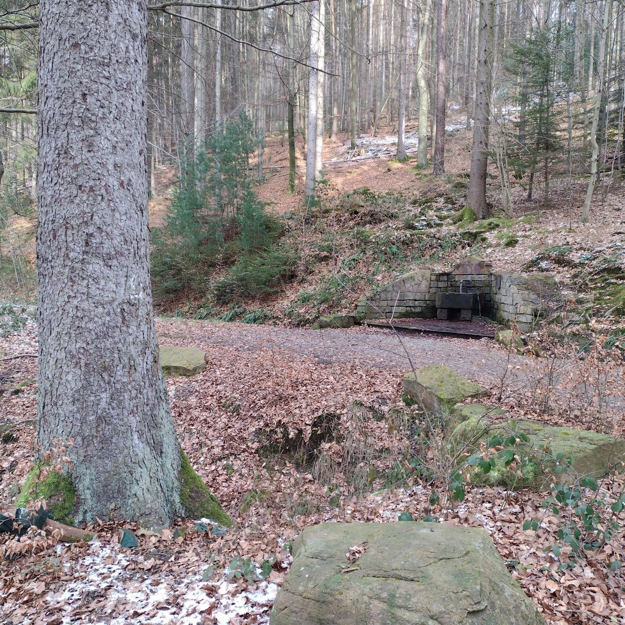
A varied route where you walk between paths and forest tracks, towpath, cycle path, easy crossing of a small village and 2 slightly more tedious urban crossings where you will have to be extra vigilant with regard to traffic.
0
0

When I passed the ordeal was no longer there 🤷🏻♀️
1
0

A very beautiful sandstone cross from the 17th century.
1
0

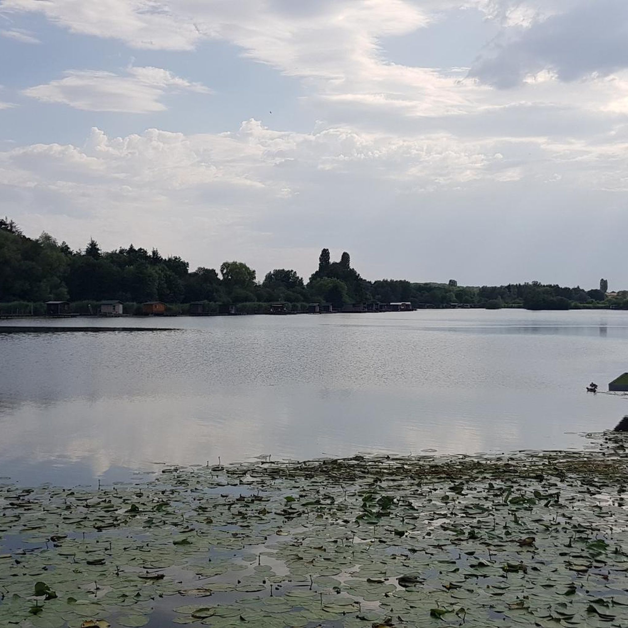
The Hoste Bas pond borders the Hoste Haut pond. It was part of the Maginot Line defense system. Today, they are home to numerous species of fish, much to the delight of anglers.
0
1
The Diefenbach Pond covers 75 hectares and is one of the must-see sites along the aquatic Maginot Line. It is home to a wide variety of wildlife. It's not uncommon to encounter ducks, geese, and herons on the banks while strolling.
0
0

This is a religious mound with artefacts all around it. Just before you reach Tenteling, France. It invites you to stop and look to see what it actually ise
0
0

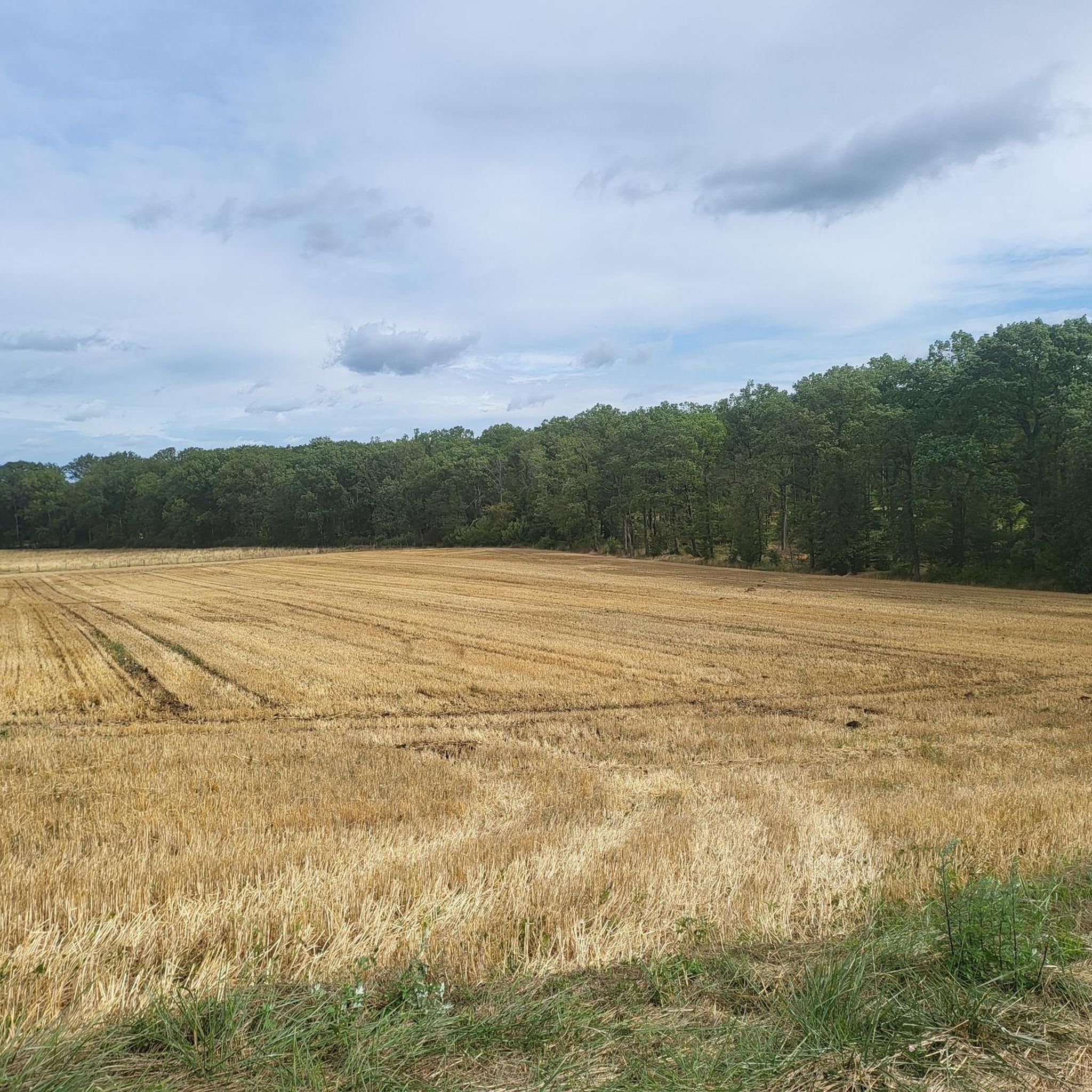
The view over this section is just super beautiful, it was worth it!!!👍🚴🏻♂️
0
0
Frequently Asked Questions
How many road cycling routes are available in Barst?
Barst offers a wide selection of road cycling routes, with over 270 tours available on komoot. These range from easy to difficult, catering to various skill levels.
Are there easy road cycling routes suitable for beginners in Barst?
Yes, Barst has several beginner-friendly road cycling routes. An excellent option is the Diefenbach Pond – Lower Hoste Pond loop from Hohwarte, which is 23.5 miles (37.8 km) long and leads through picturesque pond landscapes. Another easy route is the Lower Hoste Pond – Lower Hoste Pond loop from Lixing-lès-Saint-Avold, covering 35.2 km.
What kind of terrain can I expect on road cycling routes around Barst?
The region around Barst is characterized by gentle hills and river valleys, offering varied terrain. You'll find a mix of open agricultural land and sections alongside waterways, particularly along the Saar river. Elevations are generally moderate, with no peaks exceeding 200 meters, making for accessible rides.
Are there challenging road cycling routes for experienced riders in Barst?
Yes, for more experienced riders, Barst offers a selection of challenging routes. Approximately 65 routes are classified as difficult. A moderate option that provides rolling terrain and views of the countryside is the Start of the Canal de la Sarre – Along the Saar loop from Lixing-lès-Saint-Avold, which is 50.1 miles (80.7 km) long.
What scenic viewpoints or attractions can I see along the road cycling routes?
Many routes offer scenic views of the Saar river and various ponds. You can also pass by historical and natural attractions. For instance, the 17th Century Calvary – View of Insming loop from Lixing-lès-Saint-Avold offers cultural sights. Other notable points of interest in the area include the Lower Hoste Pond, Diefenbach Pond, and the Farébersviller Memorial and Stone Bridge.
What do other road cyclists enjoy most about road cycling in Barst?
The road cycling routes in Barst are highly rated by the komoot community, with an average score of 4.3 stars from over 60 reviews. Cyclists often praise the varied terrain, the scenic river valleys, and the well-maintained paths that cater to different ability levels.
Are there circular road cycling routes available in Barst?
Yes, many of the road cycling routes in Barst are designed as loops. For example, the popular Along the Saar – Start of the Canal de la Sarre loop from Hohwarte is a 28.9-mile (46.5 km) circular trail that follows the Saar river.
What is the best time of year for road cycling in Barst?
Given the region's moderate elevations and river valley characteristics, spring through autumn generally offers the most pleasant conditions for road cycling in Barst. The weather is typically mild, and the landscapes are vibrant. Always check local weather forecasts before heading out.
Can I find routes that follow waterways in Barst?
Absolutely. The Saar river and several ponds are defining features of the region's cycling paths. Many routes, such as the Along the Saar – Start of the Canal de la Sarre loop from Hohwarte, specifically follow the Saar river, offering flat sections and scenic views of the water.
Are there any historical landmarks to explore near the cycling routes?
Yes, the Barst area has historical significance. You can find landmarks such as the Lorraine American Cemetery and Memorial, the Bonne Fontaine Chapel and Spring of Hoste, and the Saint-Nabor Abbey Church of Saint-Avold, which are all accessible from various points in the region.
What is the typical elevation gain on road cycling routes in Barst?
The routes in Barst generally feature moderate elevation gains. For example, the Along the Saar – Start of the Canal de la Sarre loop from Hohwarte has an elevation gain of around 441 meters, while the longer Start of the Canal de la Sarre – Along the Saar loop from Lixing-lès-Saint-Avold has about 698 meters of ascent. The region's highest points do not exceed 200 meters, ensuring manageable climbs.
Most popular attractions around Barst

Get inspired with the komoot mobile app


Explore more
Browse the best Road cycling routes in other regions.
